Skull Cave

Skull Cave

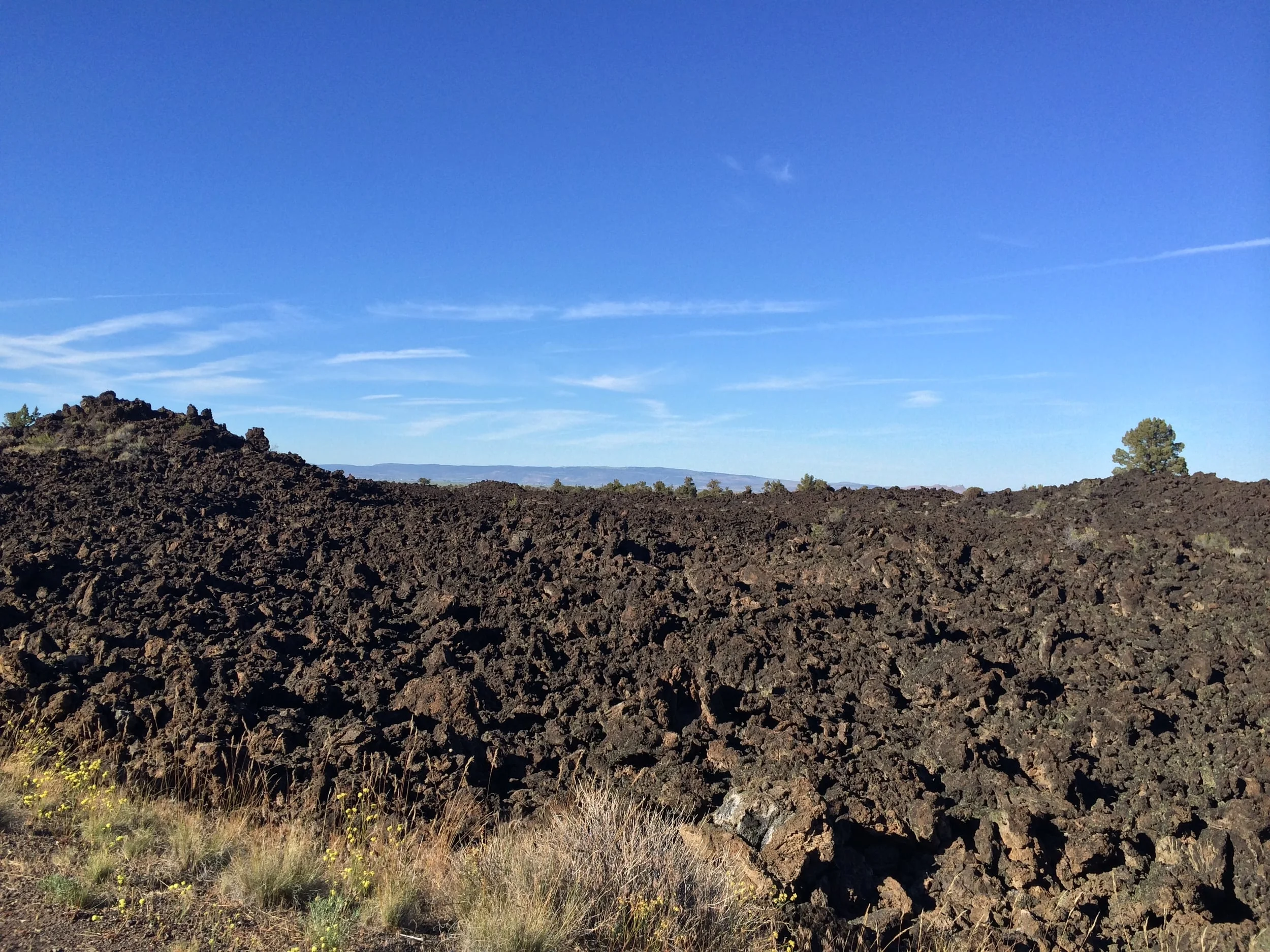
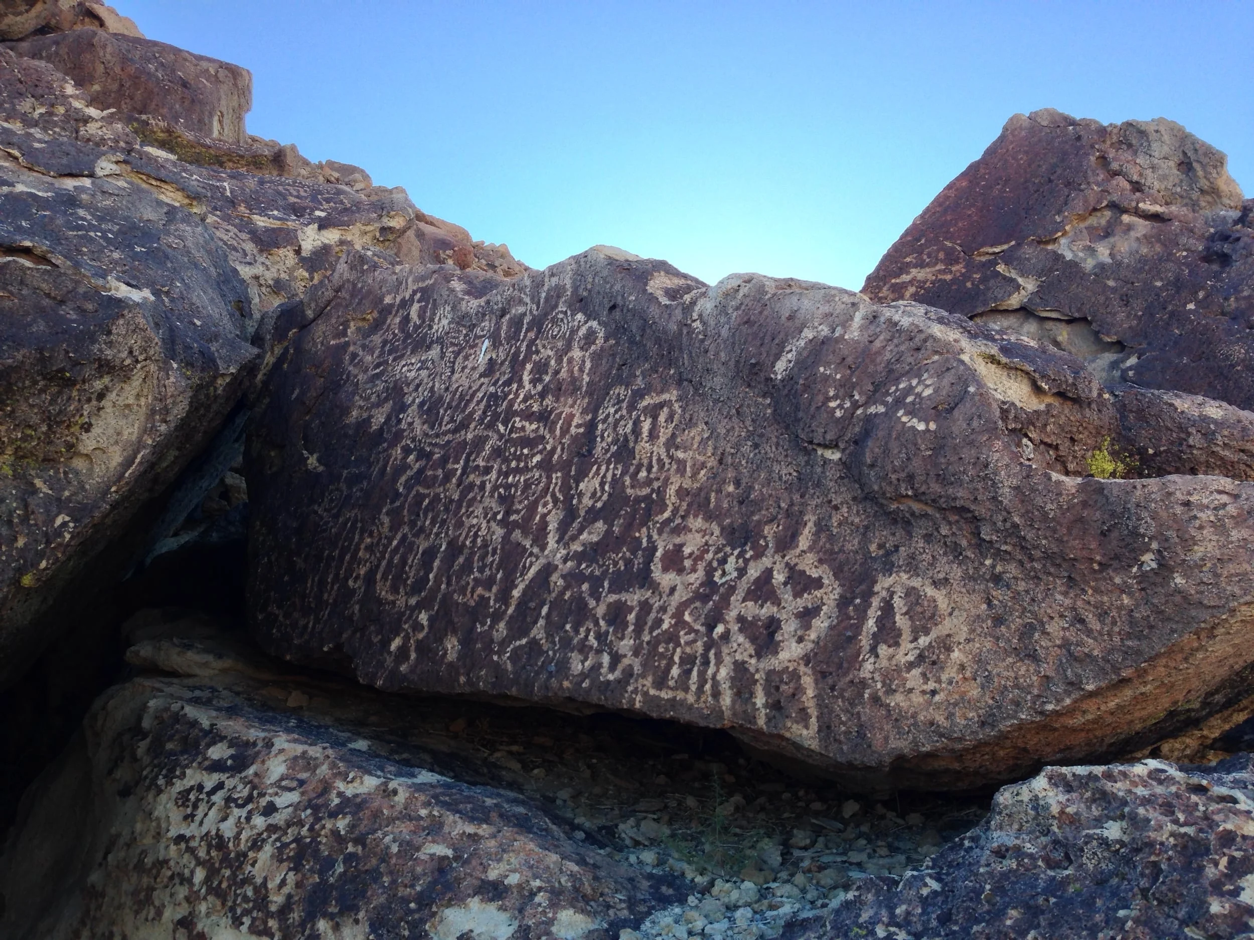
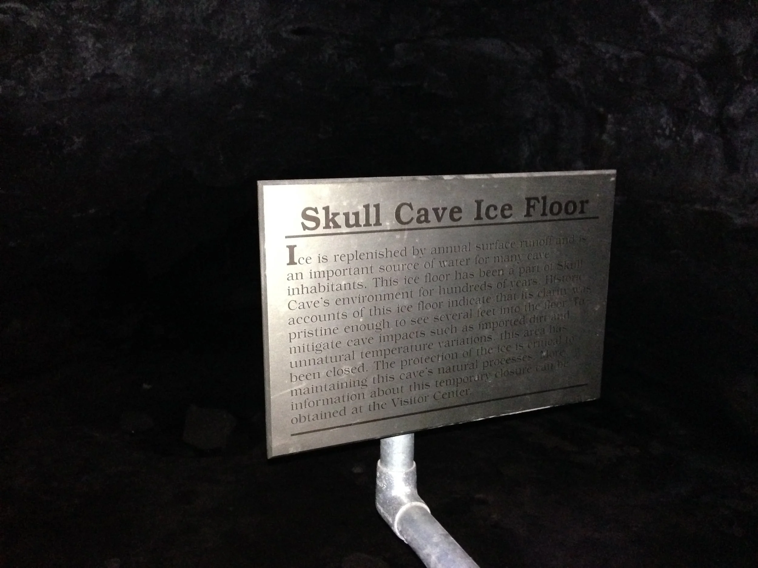
One of the lesser known gems of the National Park system is Lava Beds National Monument. Established in 1925, the park is home to the largest concentration of lava tube caves in the United States. Currently, over seven hundred (700) separate caves have been discovered in the park, and over twenty of these caves are accessible to the general public. That's right: over twenty of the caves are accessible to visitors. While there are many amazing things about Lava Beds - petroglyphs, hiking trails along the Medicine Lake shield volcano, interpretive displays about the Modoc War and more, the caves are the signature attraction. Unlike many National and State Parks which discourage or limit exploration of underground features to pre-set guided tours, Lava Beds encourages exploration of its many caves. And, as a matter of fact, Rangers will "rent" flashlights (no charge with a valid Driver's License) and provide information about the conditions found in the various caves within the park. One of the easiest caves to explore in the park with an interesting geologic and cultural history is Skull Cave. 

Devils Homestead

Devils Homestead

In the far Northeast corner of the State of California is the best National Monument you've never heard of: Lava Beds National Monument. While the monument has many interesting historical, cultural, and geologic features to visit, it is primarily the home of the Medicine Lake volcano, which is the largest volcano by volume in the Cascade Range. For over 500,000 (1/2 million years), the Medicine Lake volcano has been erupting; and is a large shield volcano. While there is evidence of over thirty separate lava flows from the Medicine Lake volcano that can be viewed in Lava Beds, one of the most prominent lava flaws is the Devils Homestead. This lava flow originated from the Fleener Chimneys portion of the park around 2,000 to 8,000 years ago, and is considered an aa flow, as it is basaltic in composition and now has a blocky, uneven surface. Today, while the area has some growth in between the hardened lava, to me, it looks like the surface of the moon, and is one of the more surreal places to visit within the park.

Bodie State Historic Park

Bodie State Historic Park

There are ghost towns where only the crumbling remnants of overgrown foundations remain; there are ghost towns where a few dilapidated buildings remain; and then there is Bodie, California – an entire town lost to the passage of time in the mountains of California.

South Tufa, Mono Lake

South Tufa, Mono Lake

Mono Lake is one of the locations in the Eastern Sierra that is well known and it should be, because it's existed for over one million years. Today, the lake is located just outside the town of Lee Vining, California, and is easily accessible from Highway 395. Mono Lake is unique for innumerable reasons - it is 2.5 times as salty as the Pacific Ocean; it is home to the Mono Lake Brine Shrimp; it provides a needed spot for migratory birds, and it has a rich place in geologic and human history. Despite all of these amazing things, the main attraction at Mono Lake are and has been its tufas. A tufa is an otherwordly looking phantasmagorical tower of rock. Specifically, tufa or tufas are limestone towers, formed by the precipitation of carbonate materials in water. In Mono Lake, underwater springs rich with calcium have come in contact with lakewater rich with carbonates for hundreds of thousands of years; and the end chemical reaction is the slow growth of these limestone towers that only form underwater. Some of these tufa towers can grow up to thirty feet in height, which occurs over a great period of time. While the tufas have existed for quite a bit of time, they weren't as visible to the public until some of the water in Mono Lake was diverted in 1941. Today, the tufas in the lake are quite visible, especially after three years of drought in California. 

Volcanic Tablelands Petroglyphs

Volcanic Tablelands Petroglyphs

In the case of the Volcanic Tablelands petroglyphs, my decision on whether to provide directions was fairly easy. The Volcanic Tablelands are an area outside of Bishop, California that was formed over 700,000 ago by the Long Valley caldera. In more recent times, the Paiute-Shoshone Indians resided here and created a great deal of rock art – petroglyphs – throughout the Tablelands. Although there are petroglyphs throughout the area, there are a number of large – and stunning groupings in certain specific areas. Even though this land is public land – managed by the Bureau of Land Management – and a protected area, it is a large area that cannot adequately be patrolled by the BLM.

Cathedral Lakes

Cathedral Lakes

The Tuolomne Meadows portion of the park is commonly known as “the high country” of Yosemite, and the reason for this is that this area is above 6,000 feet of elevation. During the winter months, this area is also inaccessible to visitors, unless they have skis or snowshoes, as the main access route – the Tioga Pass Road – becomes snowed in, and is not plowed by the National Park Service. It is also an area that is chock-full of beauty. There are high alpine lakes; there are high mountains that are part of the Sierra Nevada range; there are waterfalls; there are wildflowers; and there is wildlife. It is a stunning portion of the park, and one that every visitor should take the opportunity to visit; and it is also an area that is far from the crowds of Yosemite Valley. While there are many great hikes in the region, one of my favorites is the Cathedral Lakes hike.