Trail to Lost Palms Oasis, Joshua Tree National Park
As I mentioned last week, Joshua Tree is mostly known for climbing, not hiking. But, as I also talked about when discussing Mastodon Peak, there are some great hikes in the park should climbing not be your cup of tea. Most of the hikes recommended by the National Park Service, like Mastodon Peak, are short and sweet – good for getting out into the desert, and seeing what is going on in the park, but also somewhat “bad” as they leave you, the hiker wanting more. Don’t get me wrong – there are plenty of longer hikes into the interior of the park – but most of these are multi-day backpacking trips. However, there is no reason to despair about finding a longer hike in the park: Joshua Tree is a big place, and there are plenty of options. The best, and most scenic of these options is the Lost Palms Oasis Hike.
Directions: The trailhead for the Lost Palms Oasis Hike is at the Cottonwood Springs which I covered last week HERE in terms of directions to the park and trailhead. If you are interested in climbing Mastodon Peak either before, or after heading out to the Lost Palms Oasis, the total roundtrip distance for this hike will be 8.2 miles of total distance. If you are not interested in adding on an extra mile of distance to the hike, the roundtrip distance to and from the oasis will be 7.2 miles.
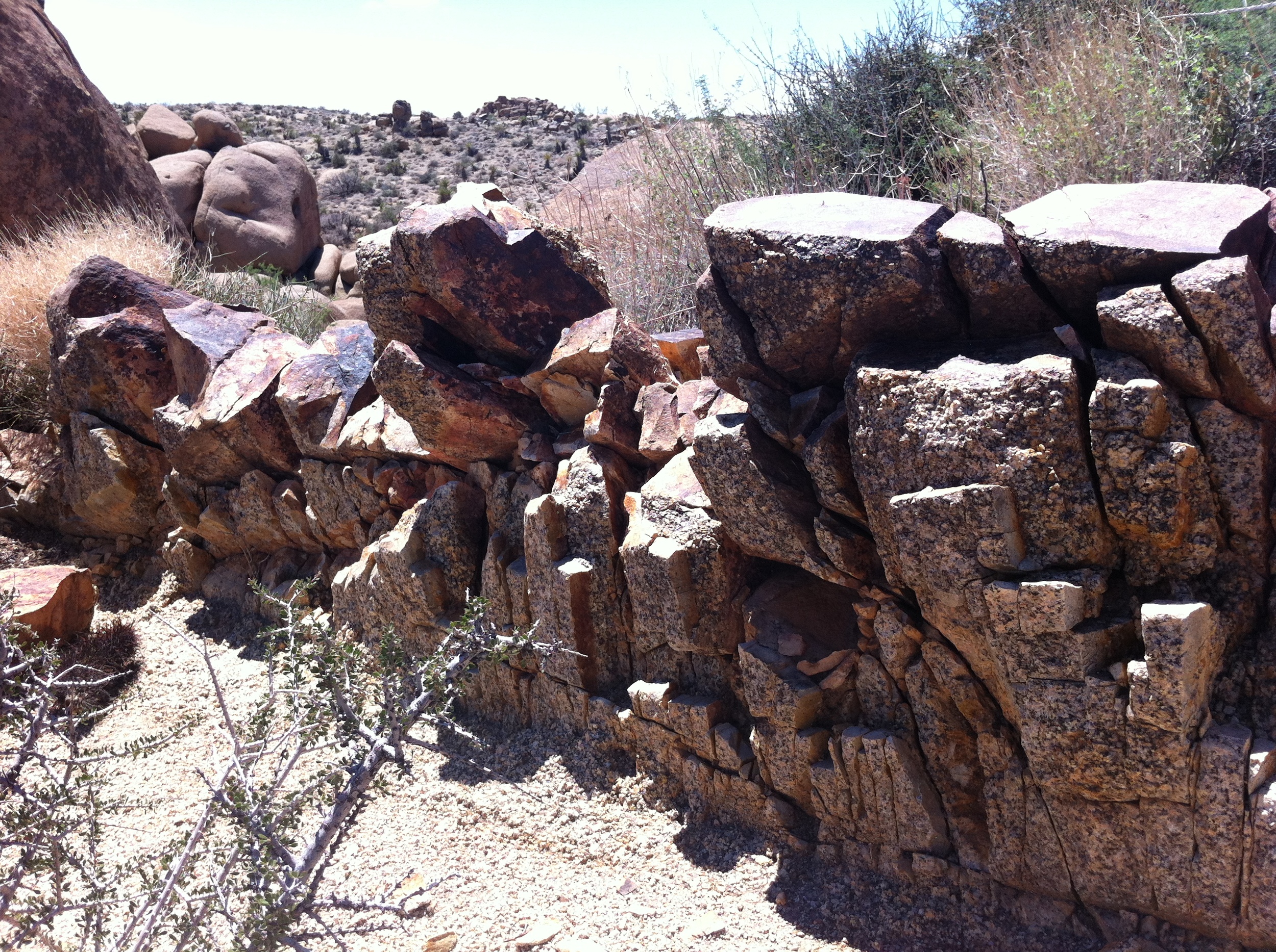
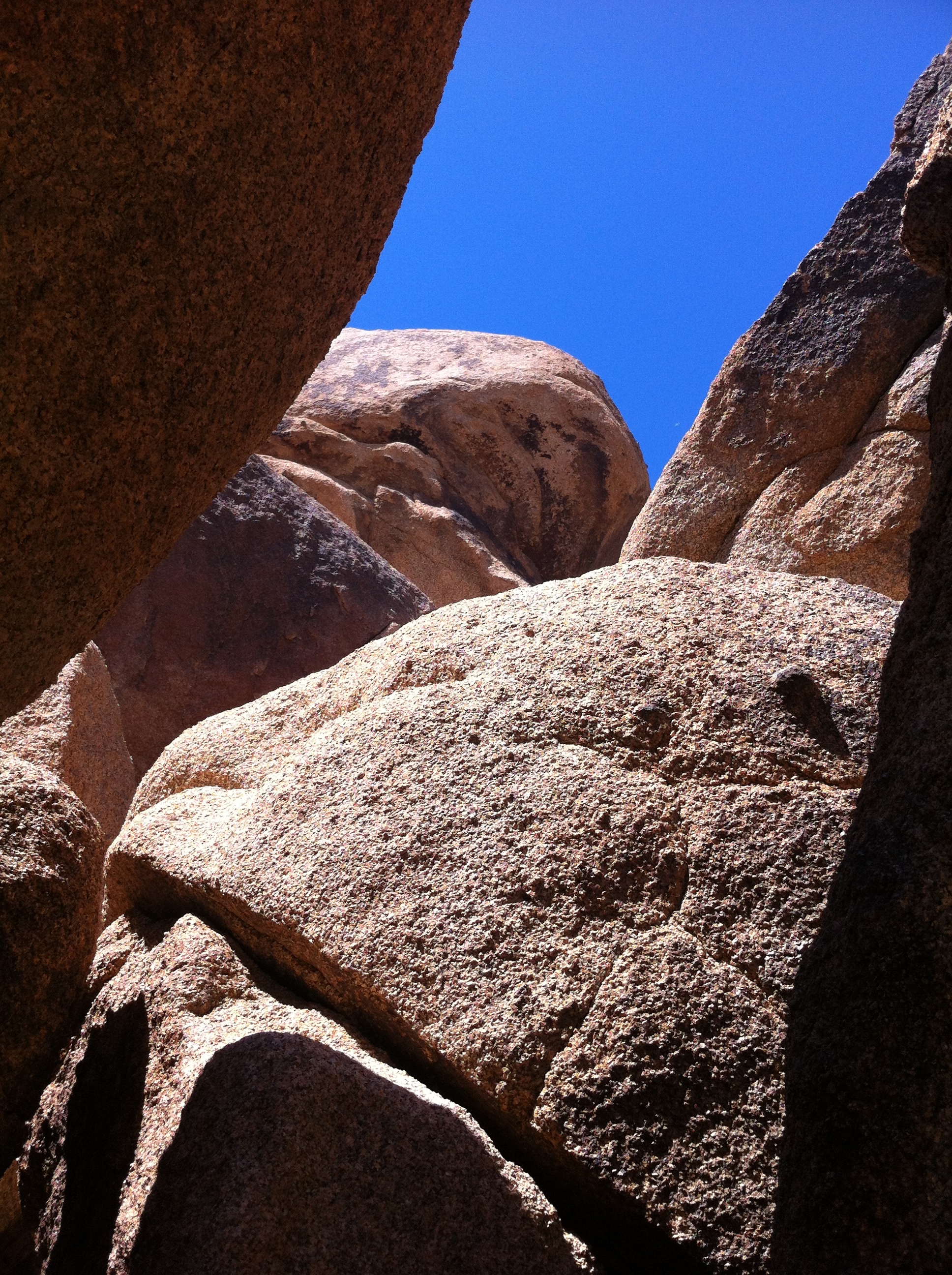
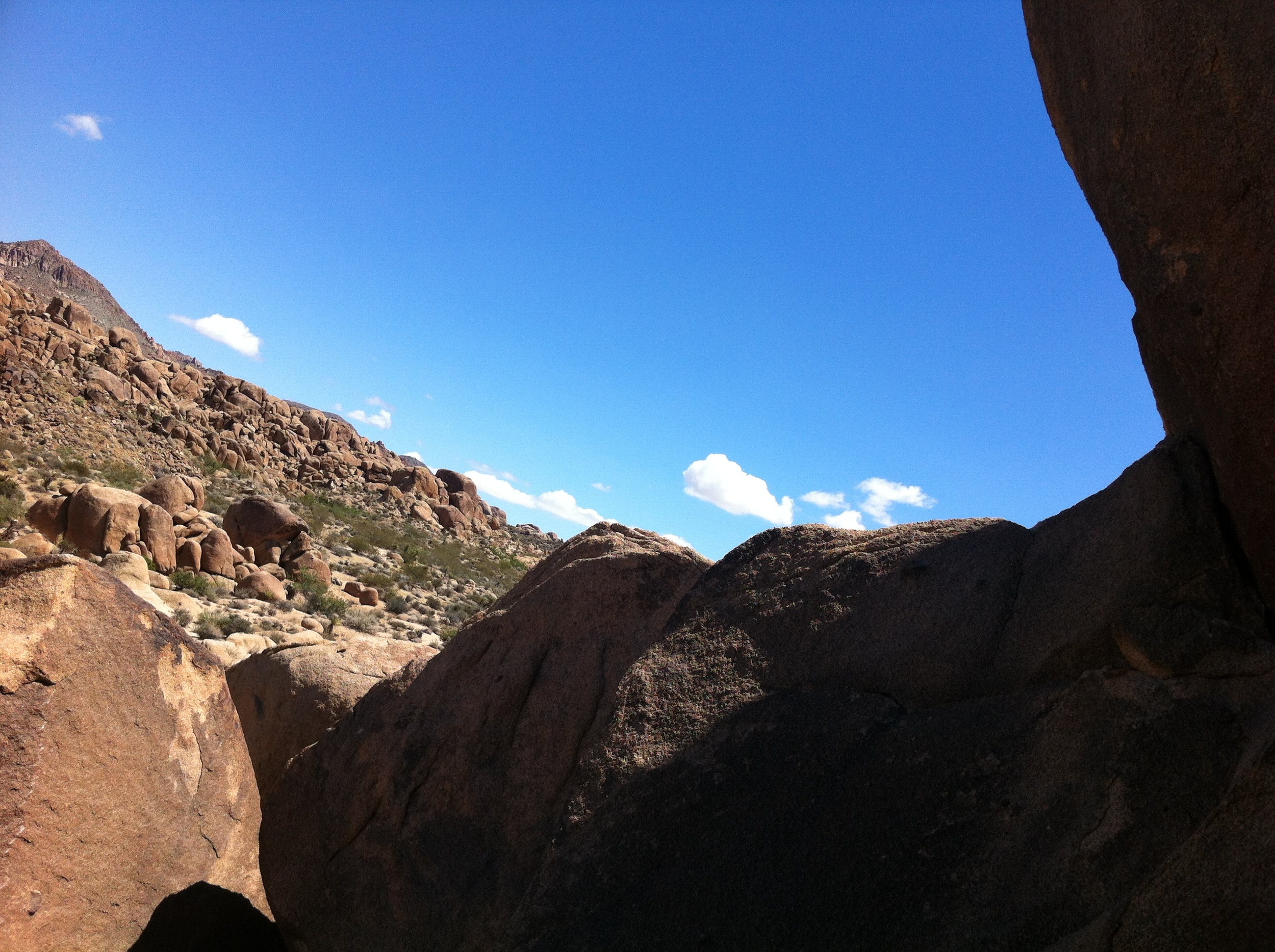
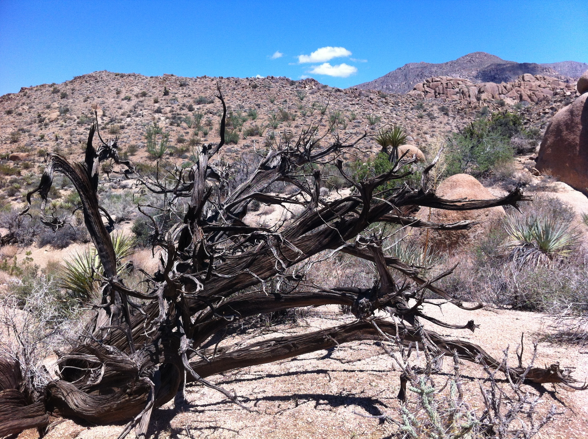
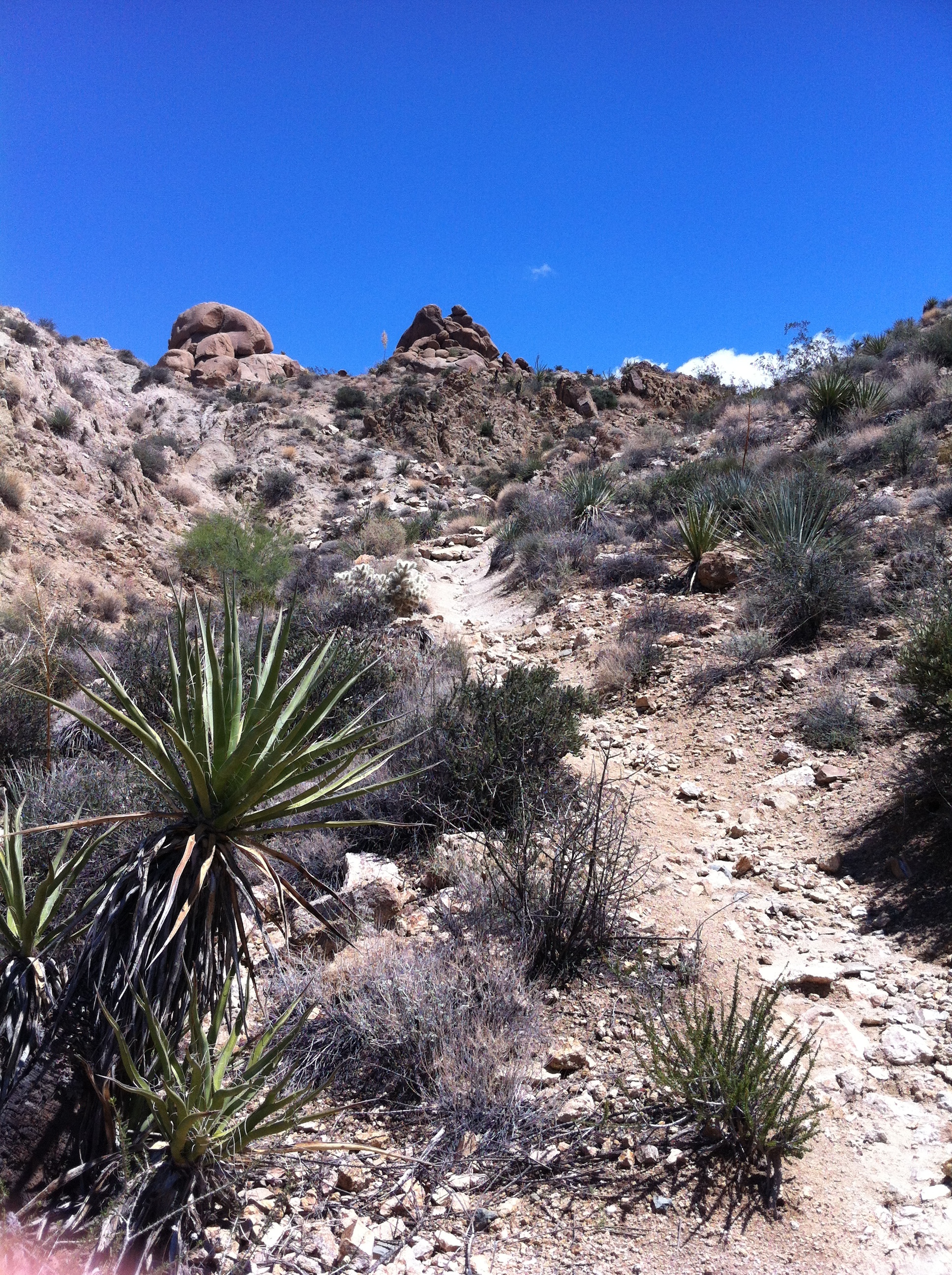
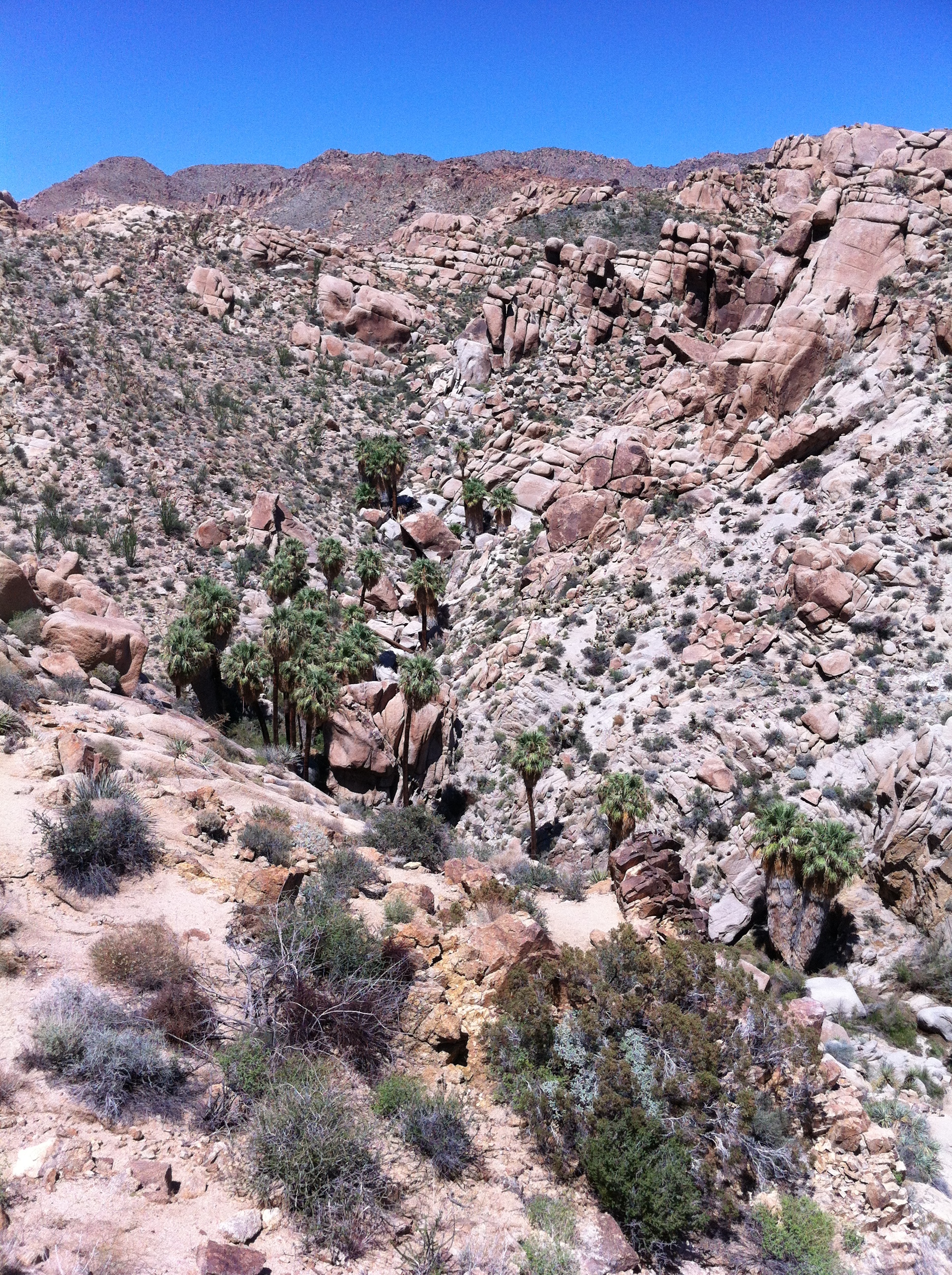
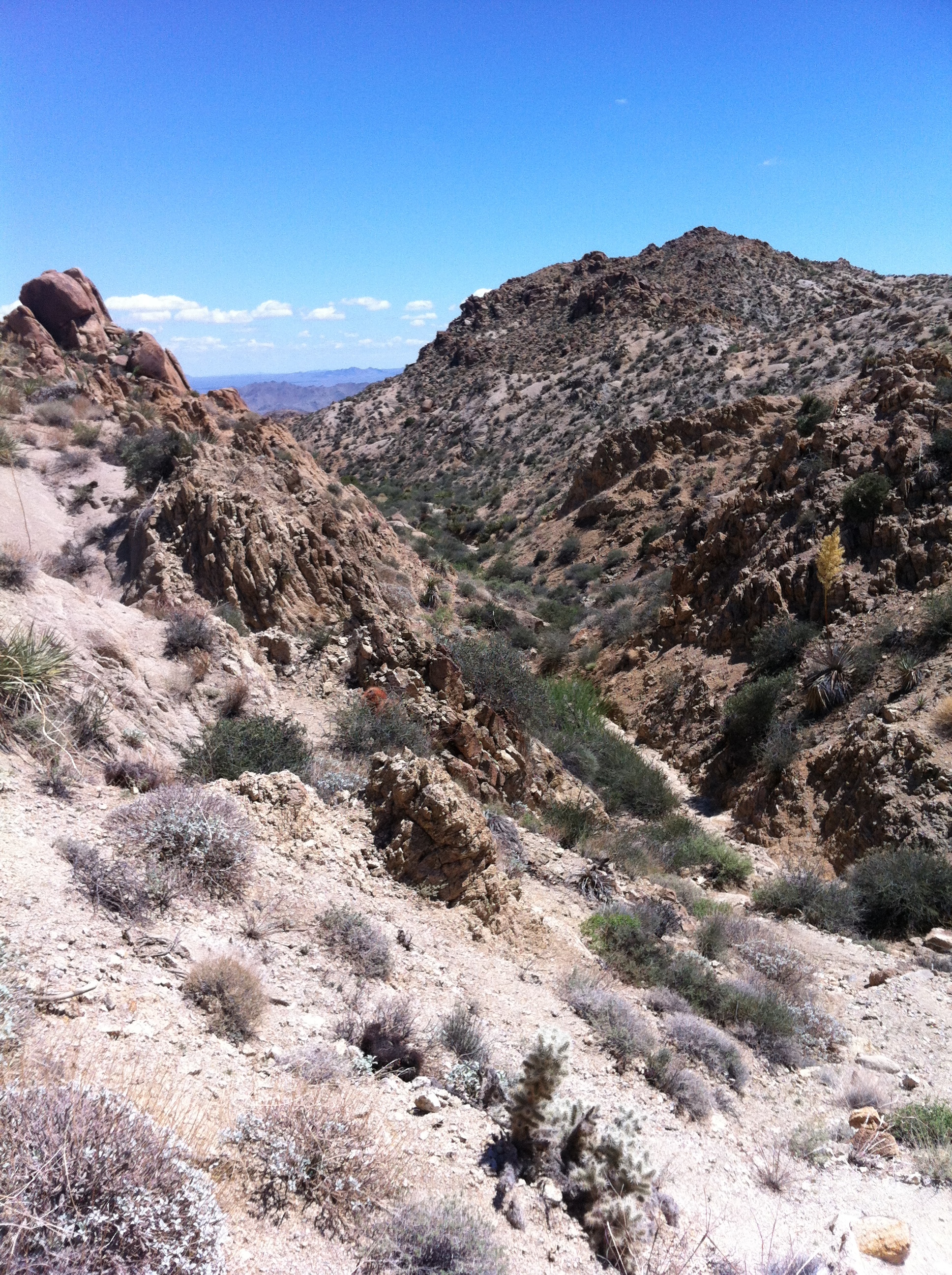
Either way, you will want to follow the initial directions I provided last week, and follow the trail from the parking area past the Mastodon Peak trail junction. Once you are slightly past the Mastodon Peak trail junction, you will have gone one mile. At that point the trail levels out, and continues on past a number of sandy washes. During this section of trail, there are great views of the surrounding terrain in the park, including the Eagle Mountains to the Northeast and the Cottonwood Mountains to the Southwest. There’s also a number of interesting rock formations, and in the spring, this is a great place to view desert wildflowers.
After you have gone approximately two miles, the trail begins to descend and ascend through a number of canyons. While the trail is as well-marked as possible by the National Park Service, and is quite popular during the winter months (December, January, February, and March), some limited routefinding may be needed during either the summer months, or after a winter storm. Is this the most difficult route to follow? Are the palms at the end truly “lost” like a city of gold? The answers are: no, and unfortunately no. But…and it’s a big but – desert navigating can be tricky at times as many, if not all areas look alike. Rather than relying on whether one cactus looks different than another, be sure to have a map of the area, along with a compass.
When I traversed this area in mid-August, I was the only person on the trail (darn 100+ temperatures). It had obviously rained the day before, and the trail was bereft of footprints, and two of the marker posts were down. At one point, I realized I had stepped off the trail and was touring the end of one of the canyons. While it was scenic, it wasn’t the route I wanted to be on. While it was an easy routefinding correction, I recommend that if you are taking this trail in the low or non-peak season, you should come prepared with a map – and even if you are taking the trail in peak season, a map is one of the ten essentials that you should have with you in any case, especially so you don’t end up like this guy.
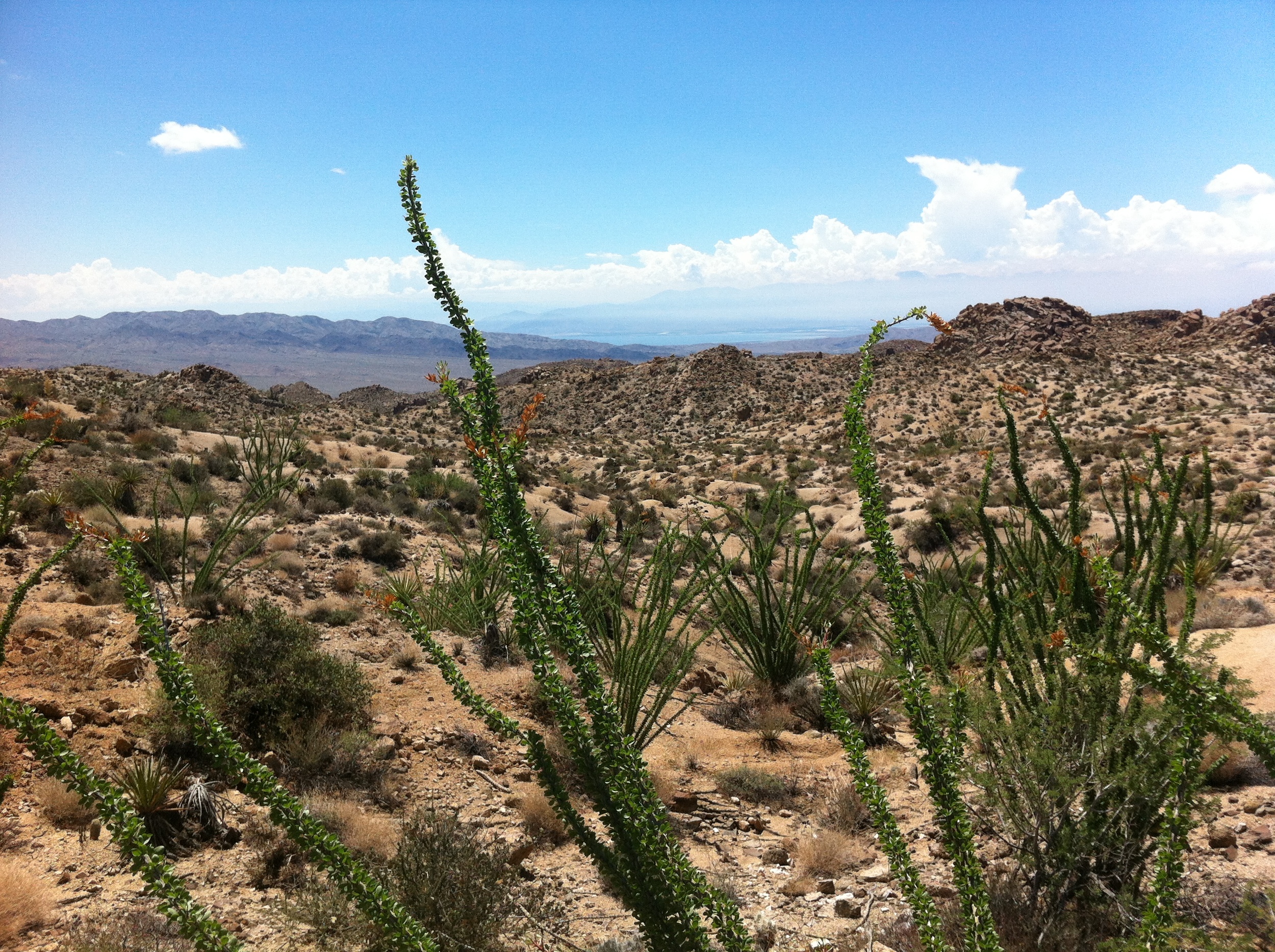
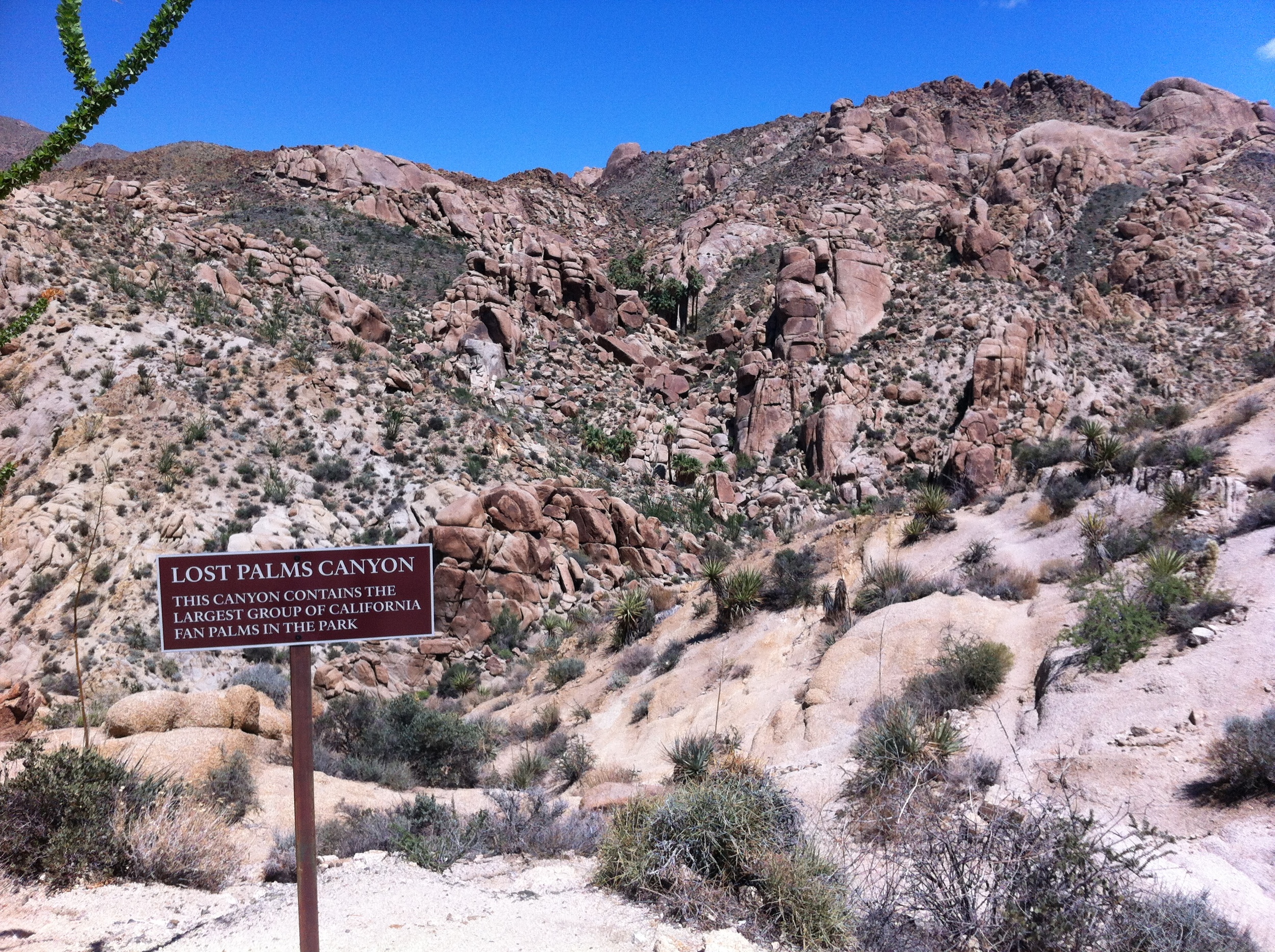
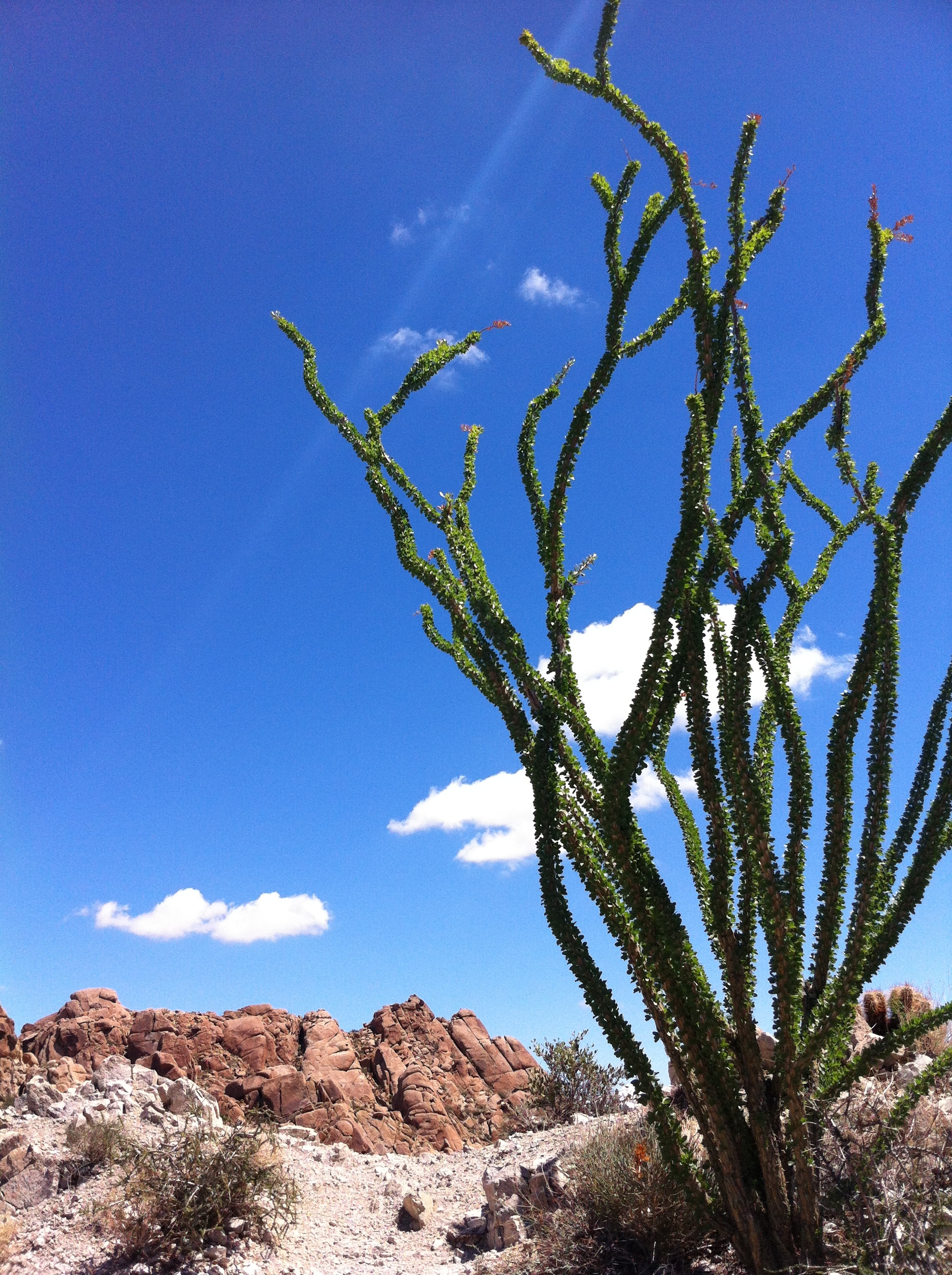
At the three mile mark, the trail ascends out of the canyons, and passes through a small grove of ocotillos. At this point, even though you are likely already looking to the South, you should look toward the South. You may wonder why I am recommending this, but the reason is simple: on a clear day, you can see all the way down to the Salton Sea, and the Jacumba mountains. It is, without a doubt, a great desert view. Shortly thereafter, the trail winds over a ridge and you will be looking down into Lost Palm Oasis, which has the largest collection of fan palms in the park. If you have the energy, you can scramble down to be among the palms; if not, enjoy the view before heading back the way you came for a great, and mostly flat hike.
Tips: As always, when traveling in the desert, bring plenty of food, water, sunscreen, and dress appropriately. While I would consider this hike moderate in the winter, in the summer, I would consider it a strenuous or very strenuous hike due to the temperature and other conditions, so be sure you plan accordingly.
The infamous Lost Palms


