
Although it was discovered by Juan Cabrillo in 1542 when looking for the mythical Strait of Anian, San Diego is a young city. To this day, like many other West Coast locations it is considered bereft of “historic” locations; even though Native Americans had lived in its environs and other areas for thousands of years prior to Cabrillo’s arrival. Perhaps this bias springs from the fact that not many people know much about San Diego other than what they learned in Anchorman; or perhaps this bias springs from the fact that while San Diego has historic sites, most of them are not common knowledge. In any event, San Diego is a city with ancient historic sites; and more modern historic sites. It is even a city with lost historic sites. While I’m sure there are plenty of semi-lost; partially-lost, and actually-lost sites out there that I don’t even know about, the best almost-actually lost site I’ve come across and found is this one – the ruin of the Jamul Kiln, or if we’re being technically accurate, the Jamul Cement Works.
The site attracted my attention one summer day when I was visiting the Pio Pico Thousand Trails campground. As I passed through the office, I saw a picture of the Jamul Kiln, which caused me to stop and stare. At first I was convinced that the photo was of another location in California, because I felt that I surely would have heard about – or visited this location had it been in San Diego County. After I read the caption on the photo – “Jamul Kiln”, I thought that the location had to have been destroyed, because again, surely, I would have heard about it, or visited the location, because I knew most, if not all of San Diego’s secret spots. When I asked around the campground, some people didn’t know what it was, why the photo was there, or if it still existed. At this point, I knew I had a real mystery, with the potential for a real adventure. Since I’m persistently nosy, I kept asking questions around the site, and finally found out that the structure was indeed out there in the wilds of Jamul.
When I returned home from Pio Pico, I decided to find out what exactly was going on with this site. I e-mailed a few people who knew almost as much – or more about the county as me, and came up with nothing. With not much to show for asking a lot of questions, I then turned to the internet. Surely, I thought, I would find a lot out about this location on the internet, as the internet has information about everything. Unfortunately, the internet had both everything – and nothing about the site. It had a great historical article telling me what the site was: a 19th Century Cement Making plant – but no information as to how to get to it. The only other hit I was able to get about the site was a photography blog with photos of the site. That was it.
At this juncture, if you know me, you know that I now had to find this site and had to see it. It may seem dorky to you, but that is how I am. In this case, I was lucky enough to e-mail with Zach Petschek, the photography blogger, who provided me with what directions he remembered from his visit to the site. While they weren’t perfect – or even specific – they allowed me to head back to my maps, and formulate an area in which I knew the building had to be. After all of this real life and virtual legwork, I was ready to head out in person to look.
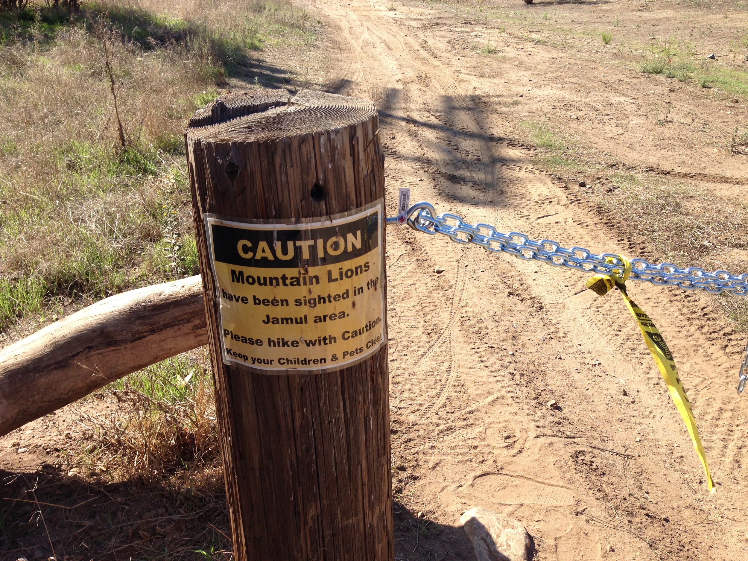
From Zach, I knew that I had to pass through the North end of the Pio Pico campground before heading northwest. On my first foray, I got bogged down exploring the North end of the campground, and wasted a number of hours looking at canyons that did not fit his directions, my maps, and what photos I did have of the area. Eventually, I ended up on a ridgeline in the middle of nowhere – literally. While I had a great hike, and it was a great training session for Denali2014, I also knew I was not in the right area.
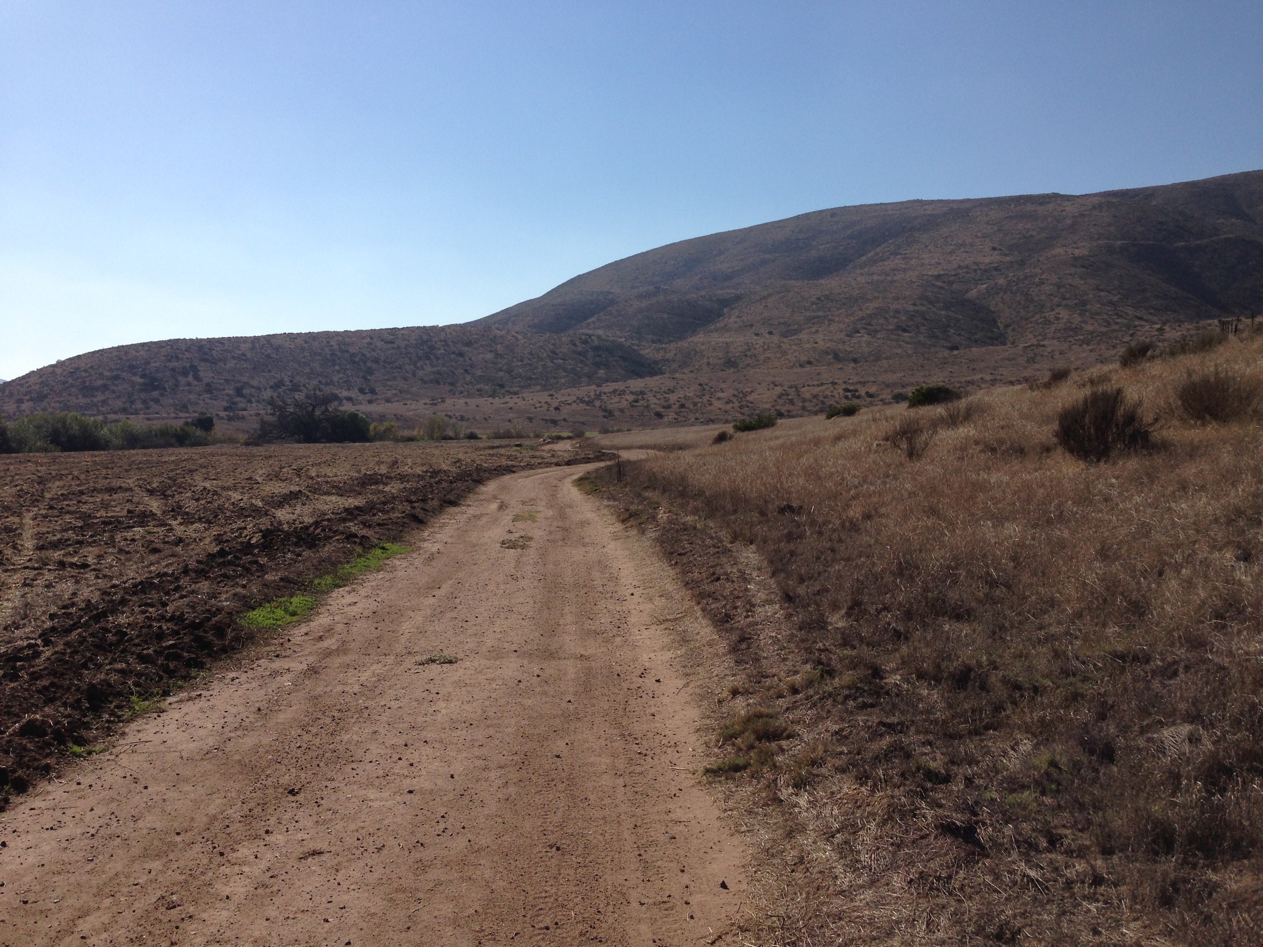
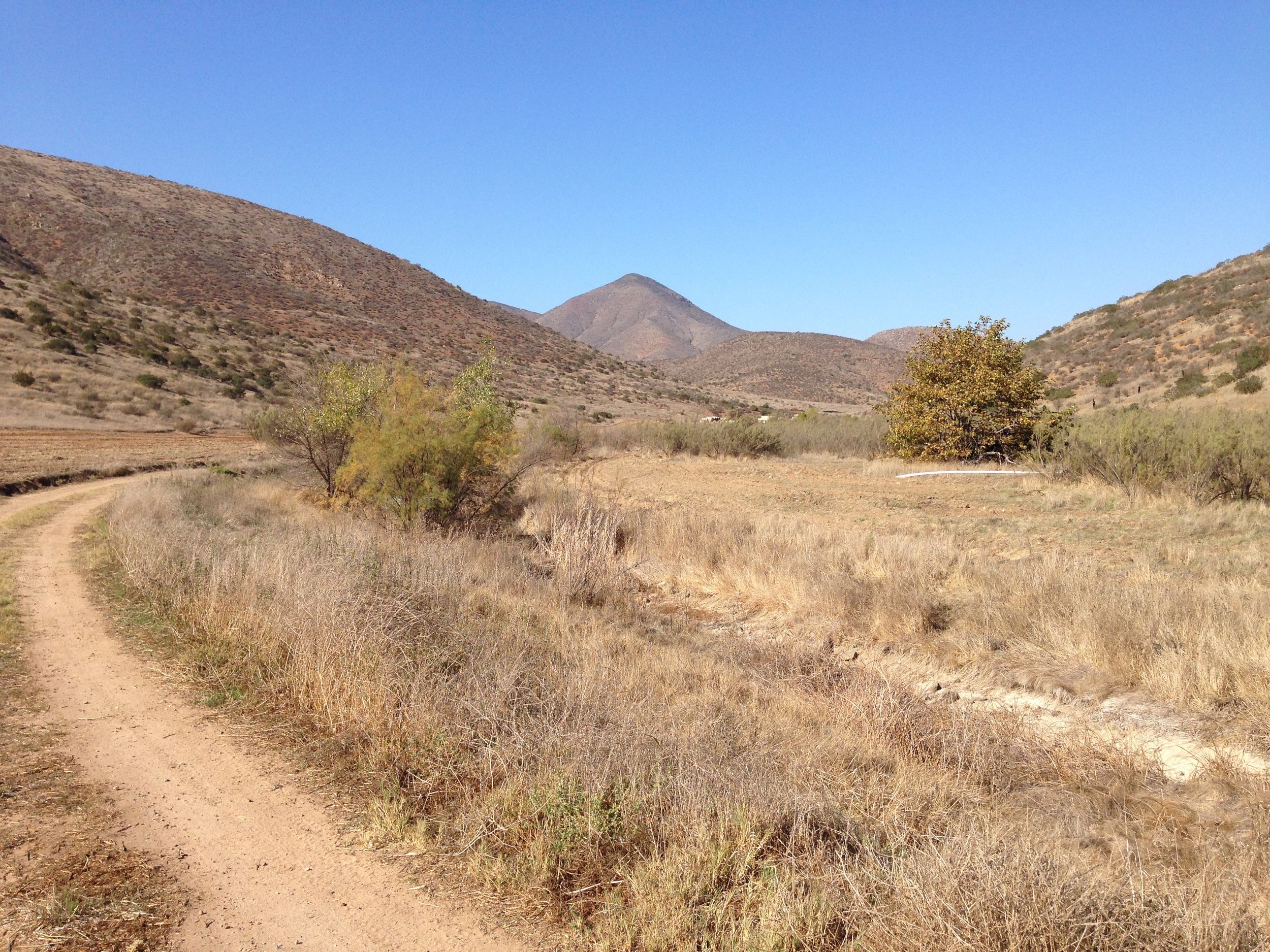
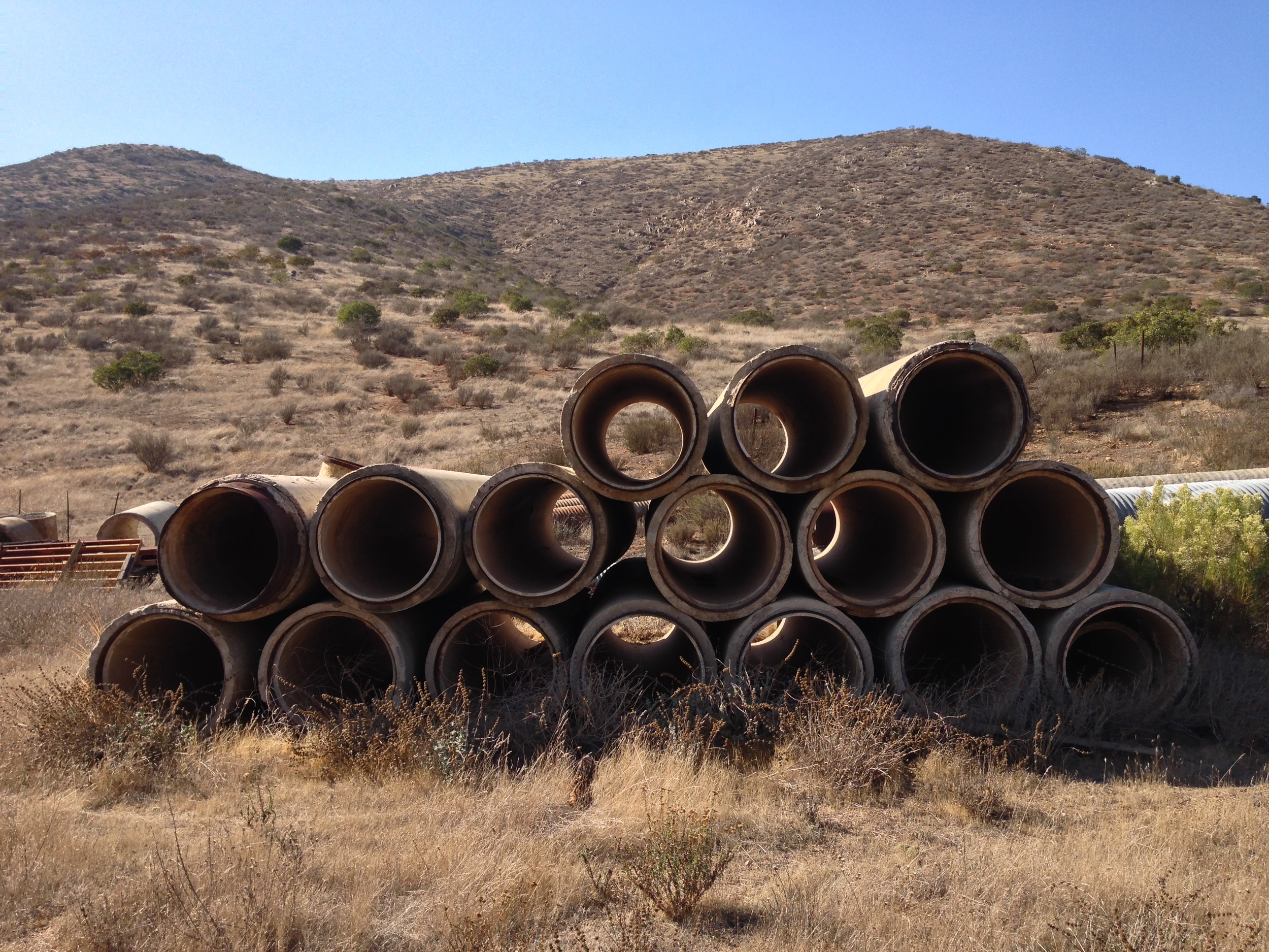
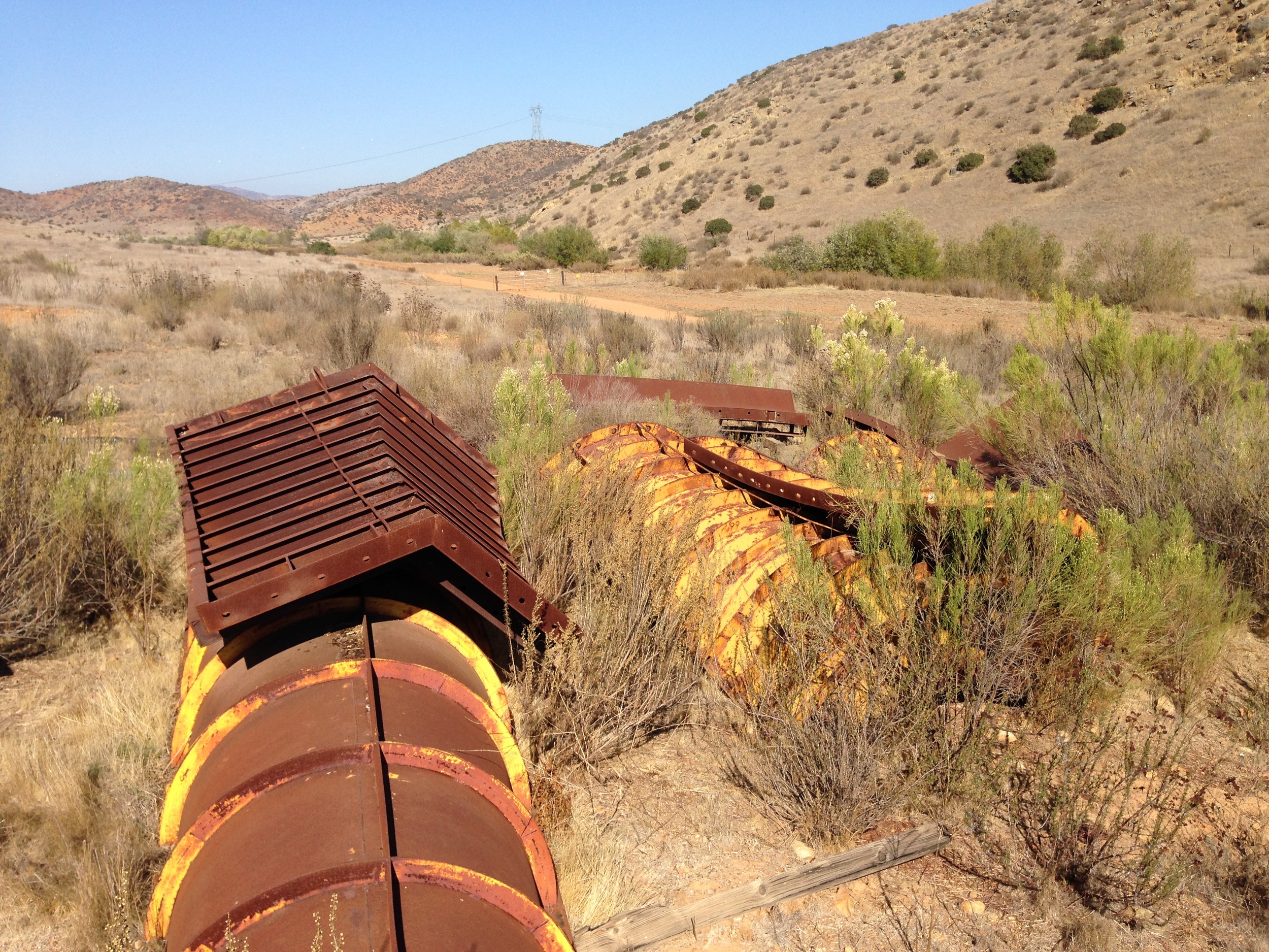
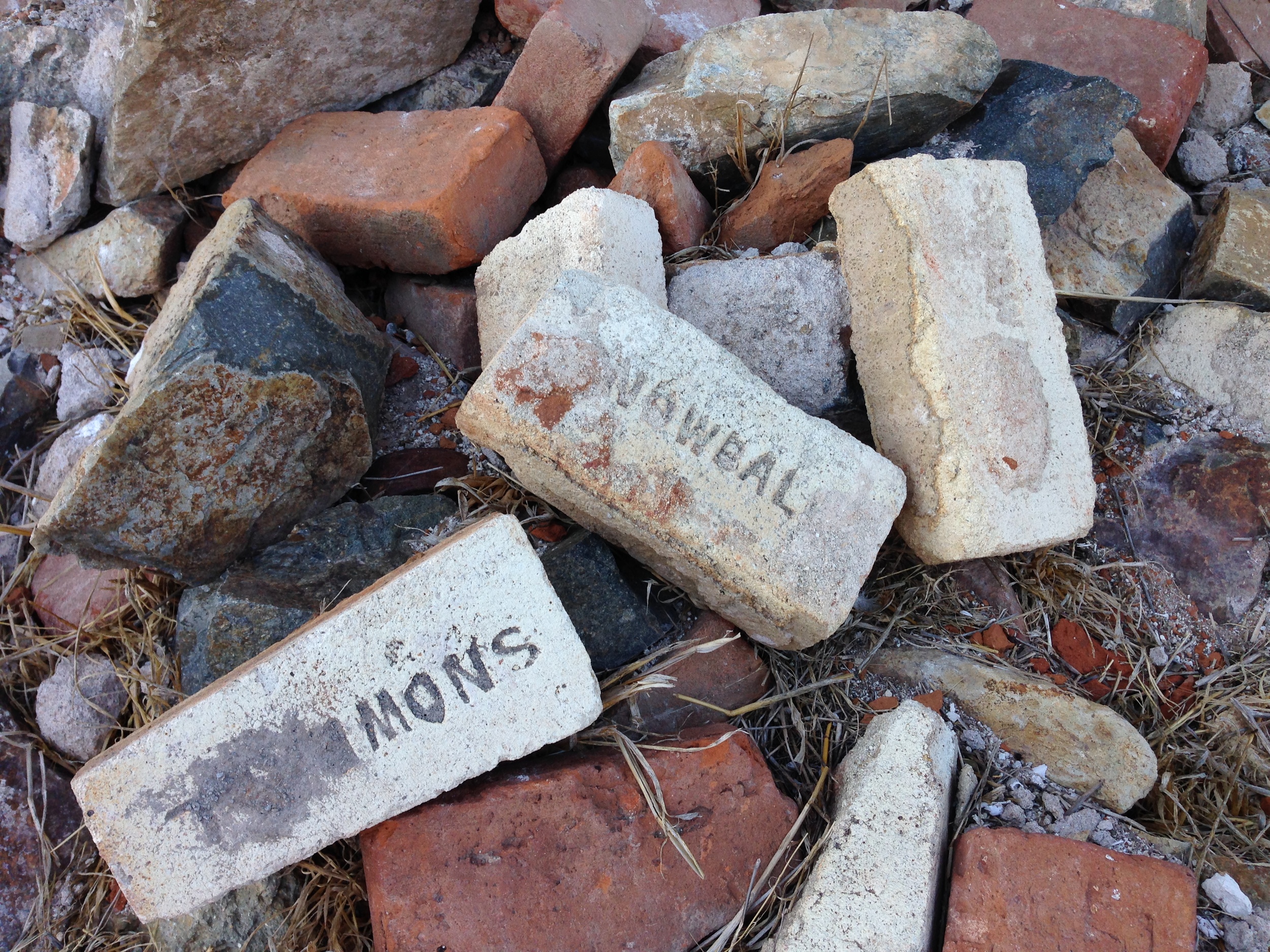
This weekend, I had the opportunity to take another crack at finding the building. Again, I headed through the North end of the Pio Pico campground. I navigated down along the watershed, and again, I found myself at a junction of old dirt roads, foot trails, and open fields. Based on my previous exploration, and my map review, I had a feeling that rather than heading into the hills, I needed to stay in one of the valleys. With my fingers crossed, I picked an old route and headed up into the first valley near the junction. The old dirt route I was on meandered past some old building materials, which were clearly from a more modern era. While I didn’t know what they were, or what they were doing there, or why they looked like the bones of a modern industrial machine, I knew that they didn’t necessarily mean I was on the right track. Nevertheless, I kept heading into the valley, as I figured that even if I was in the wrong area again, at least I would definitively rule it out.
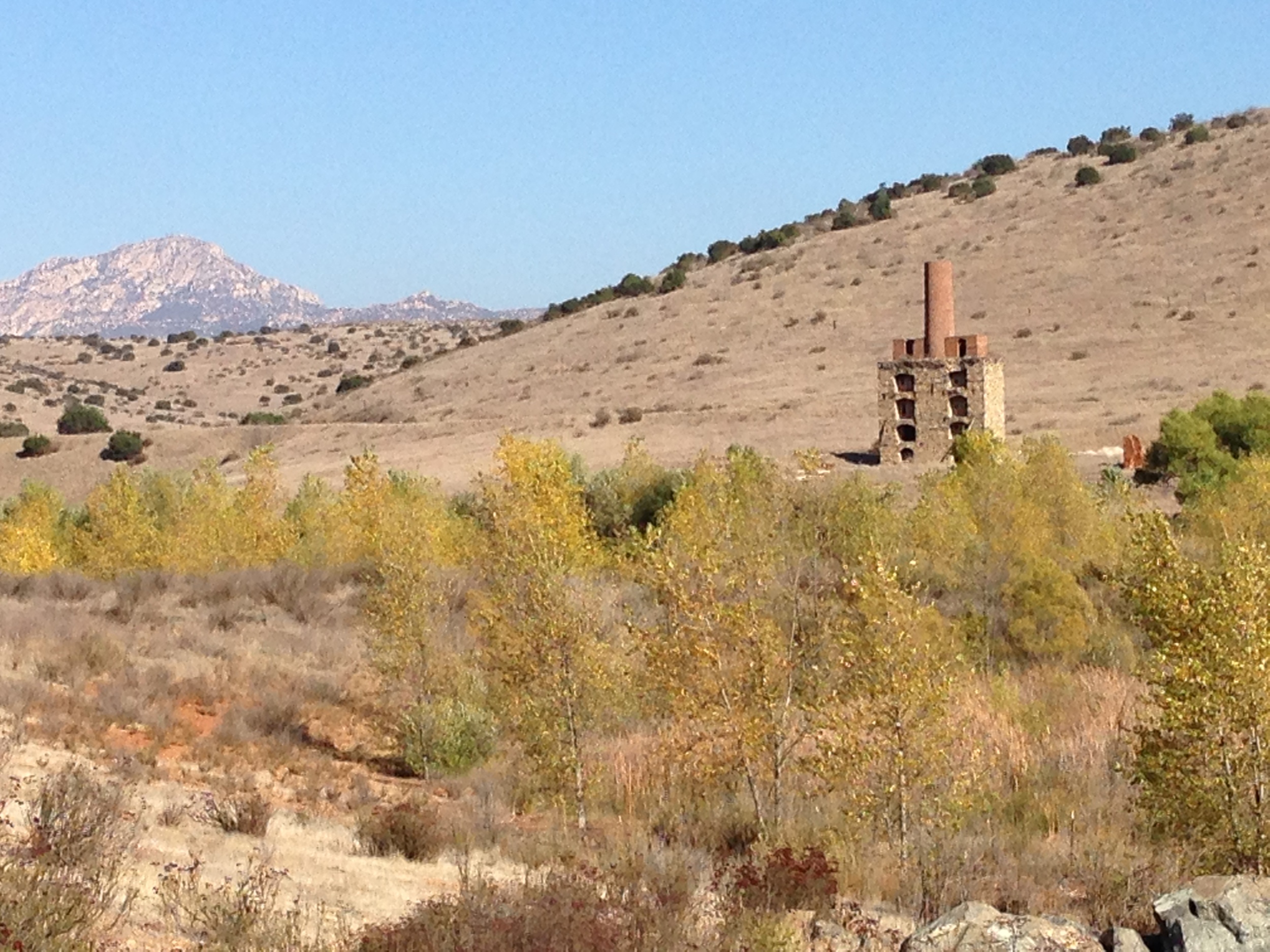
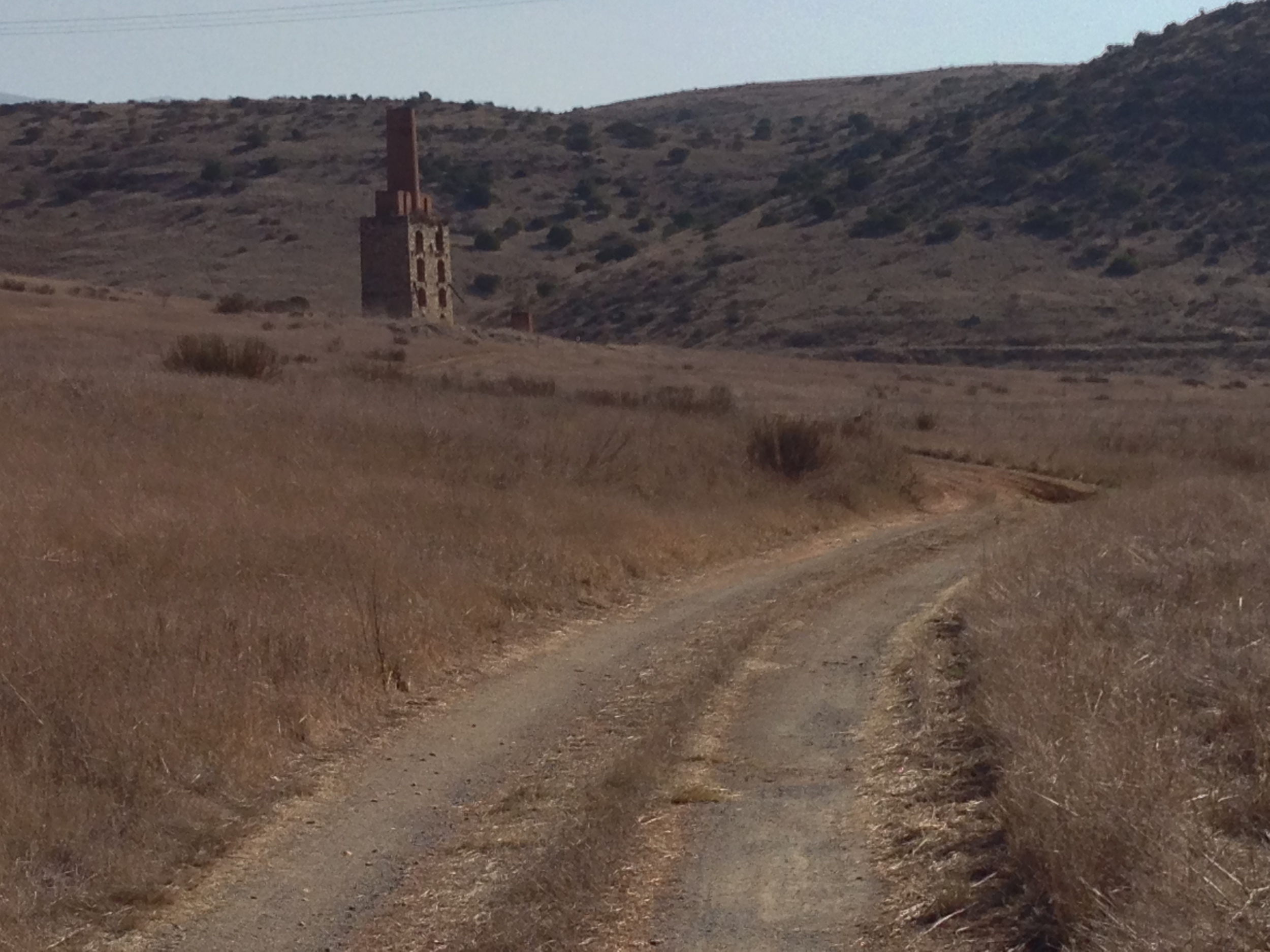
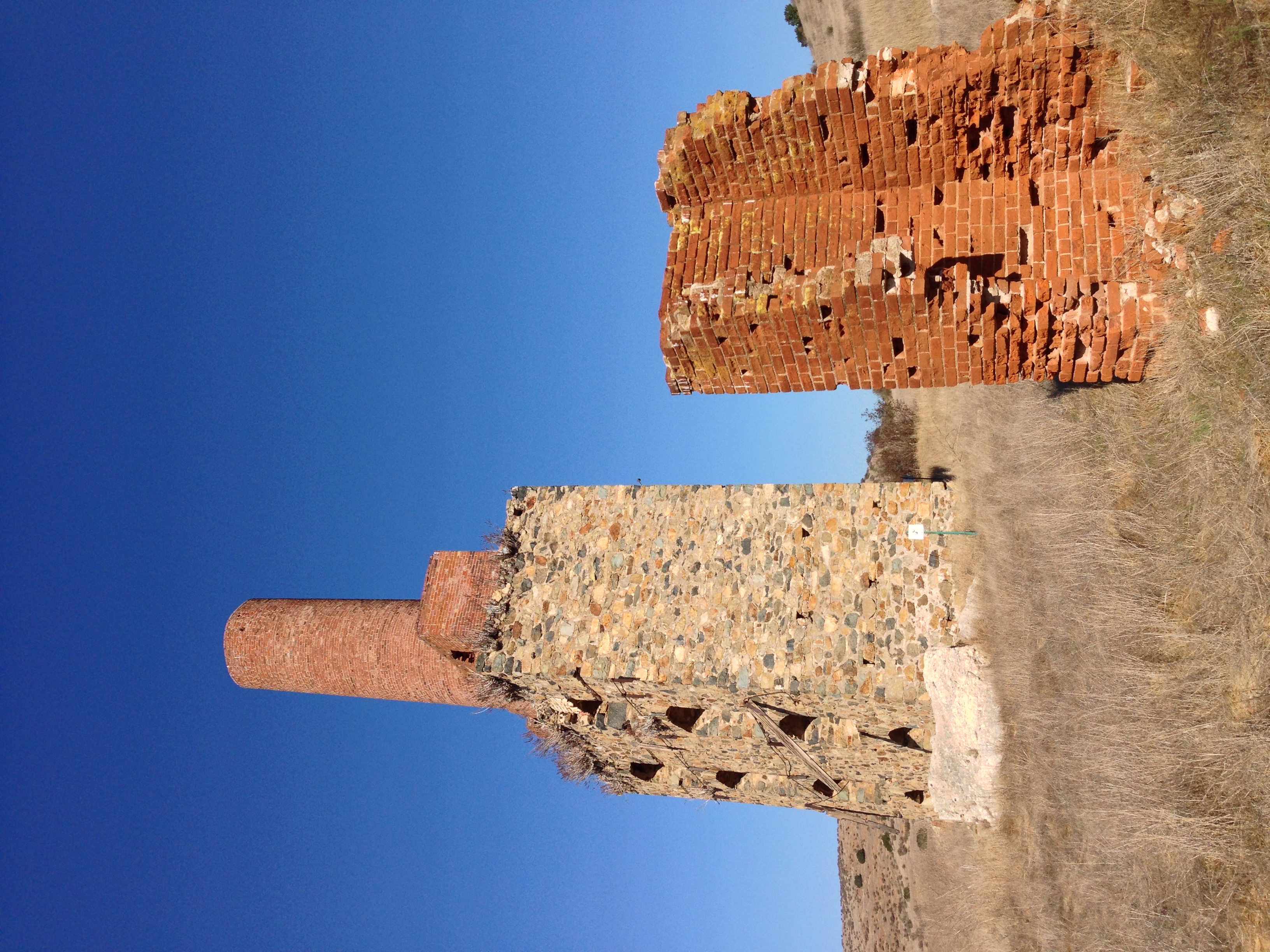
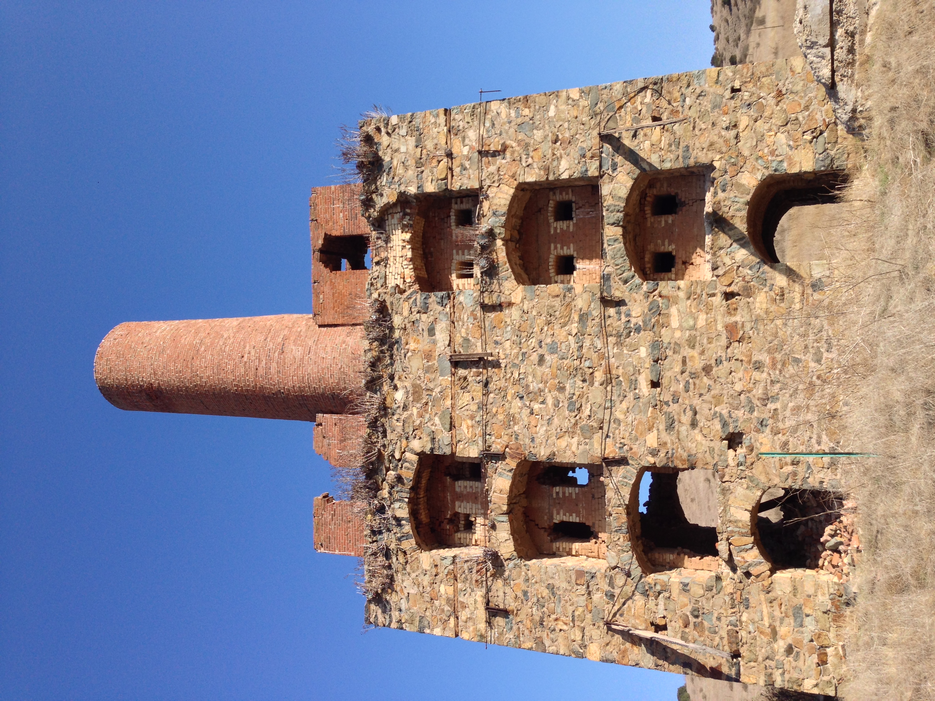
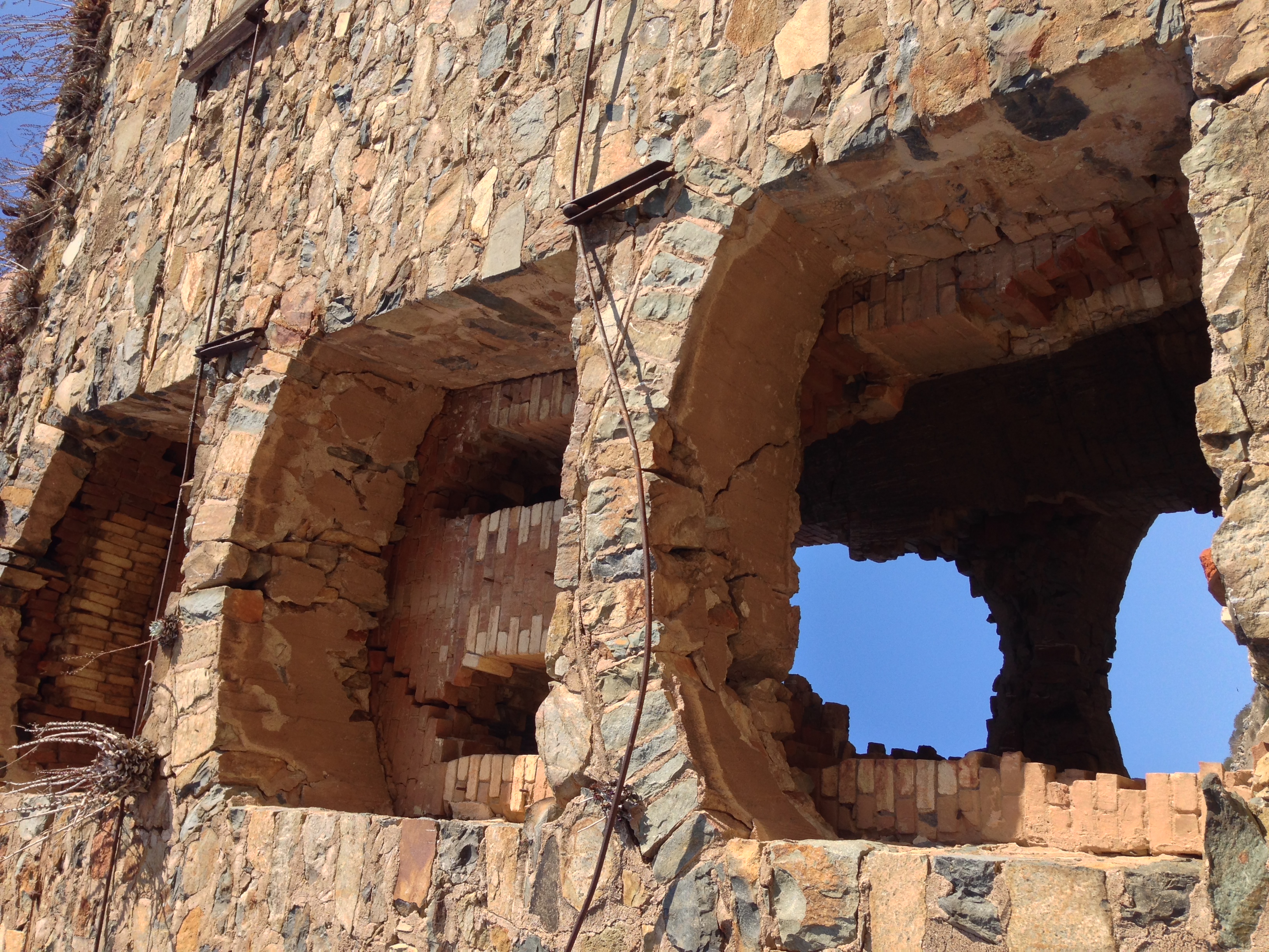
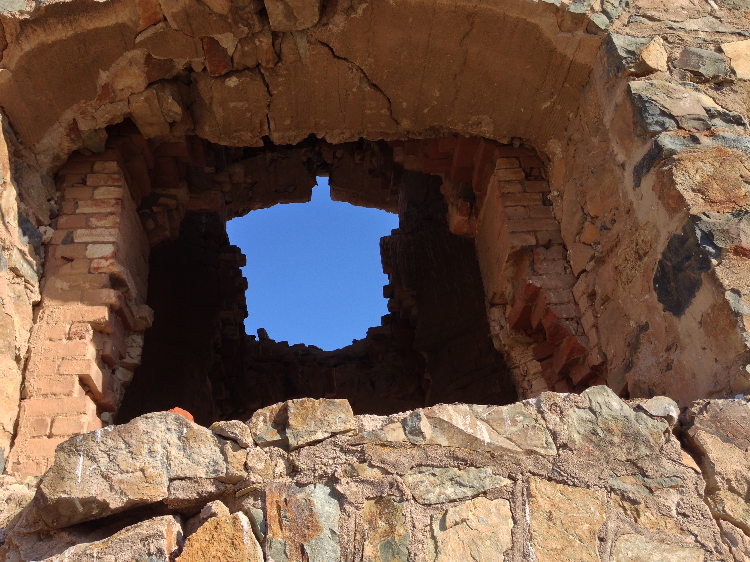
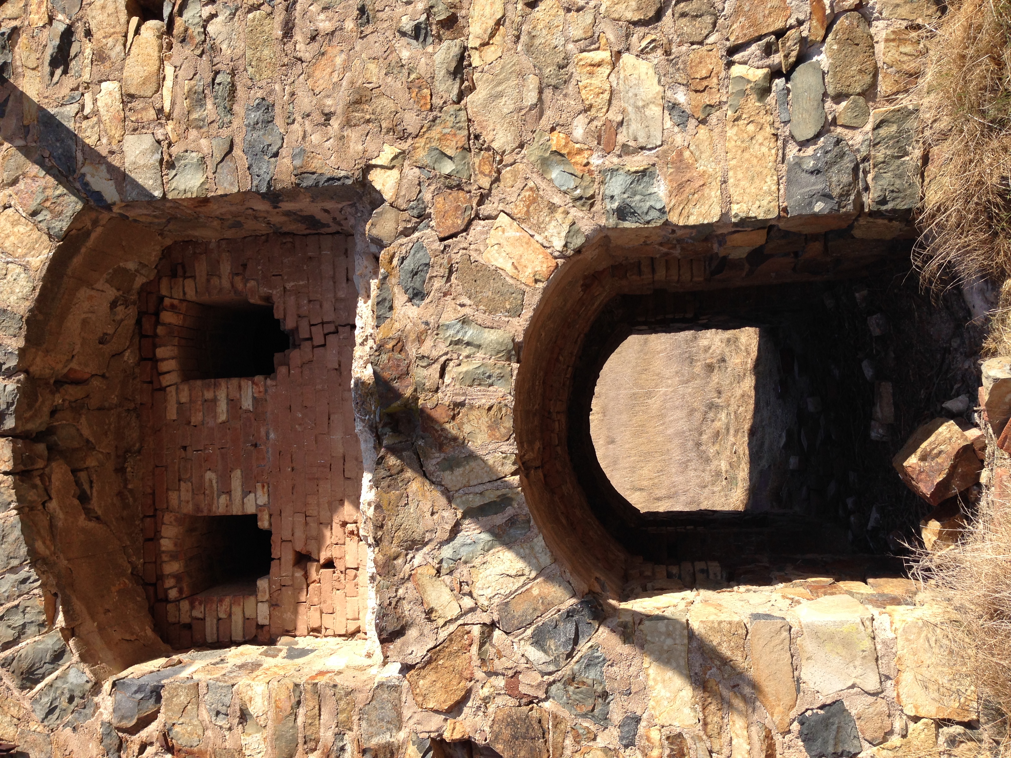
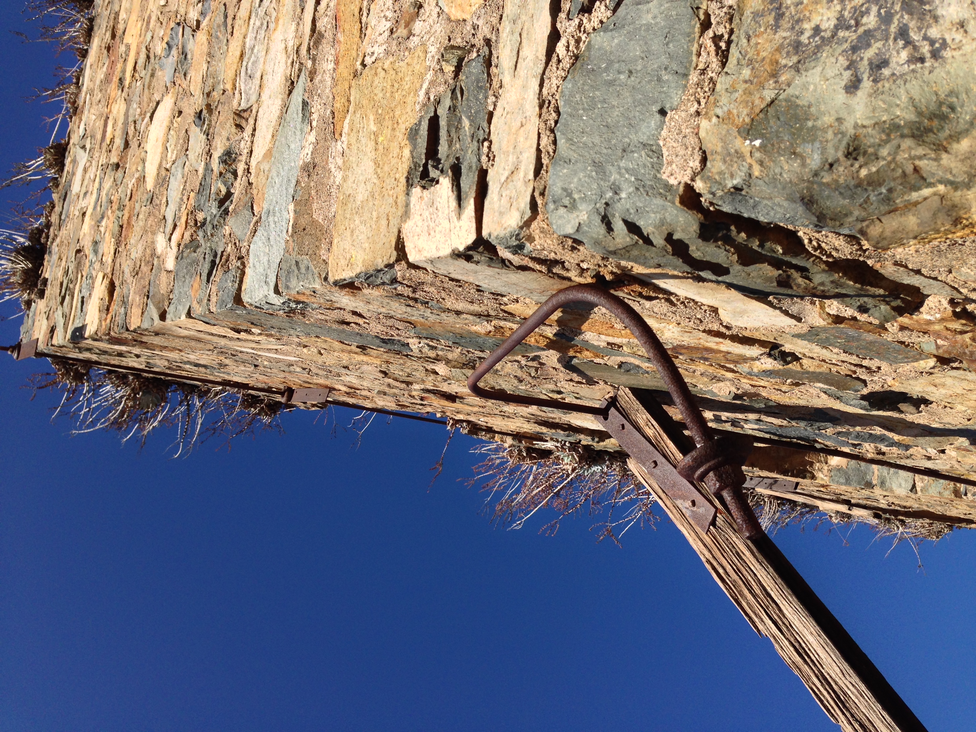
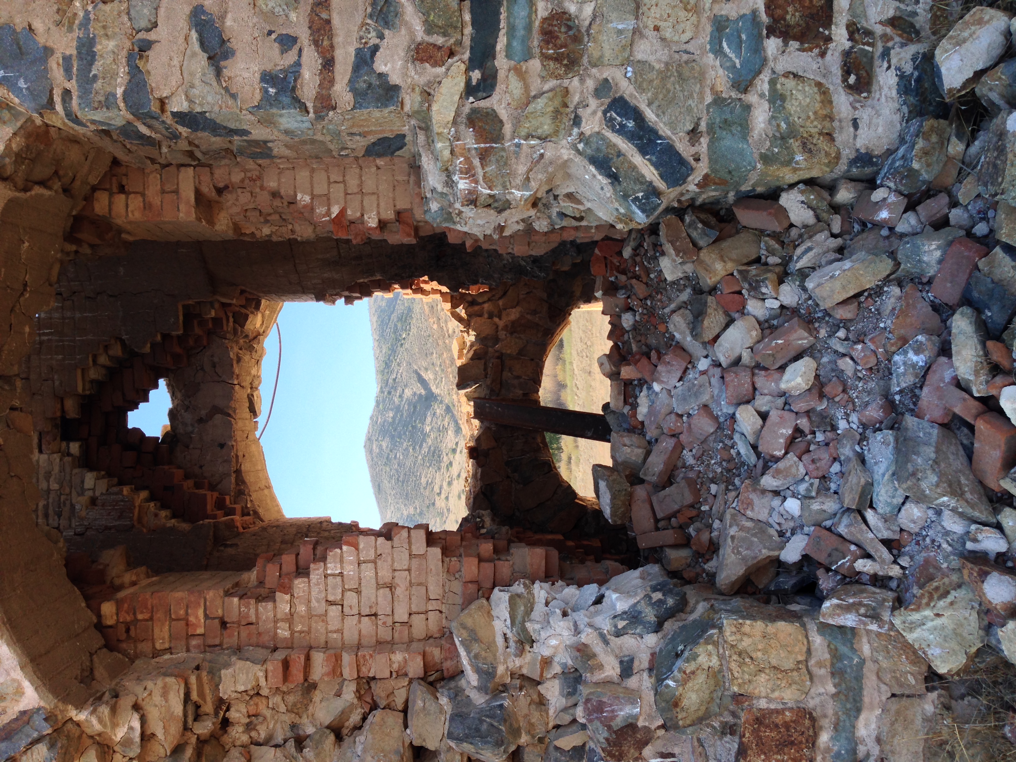
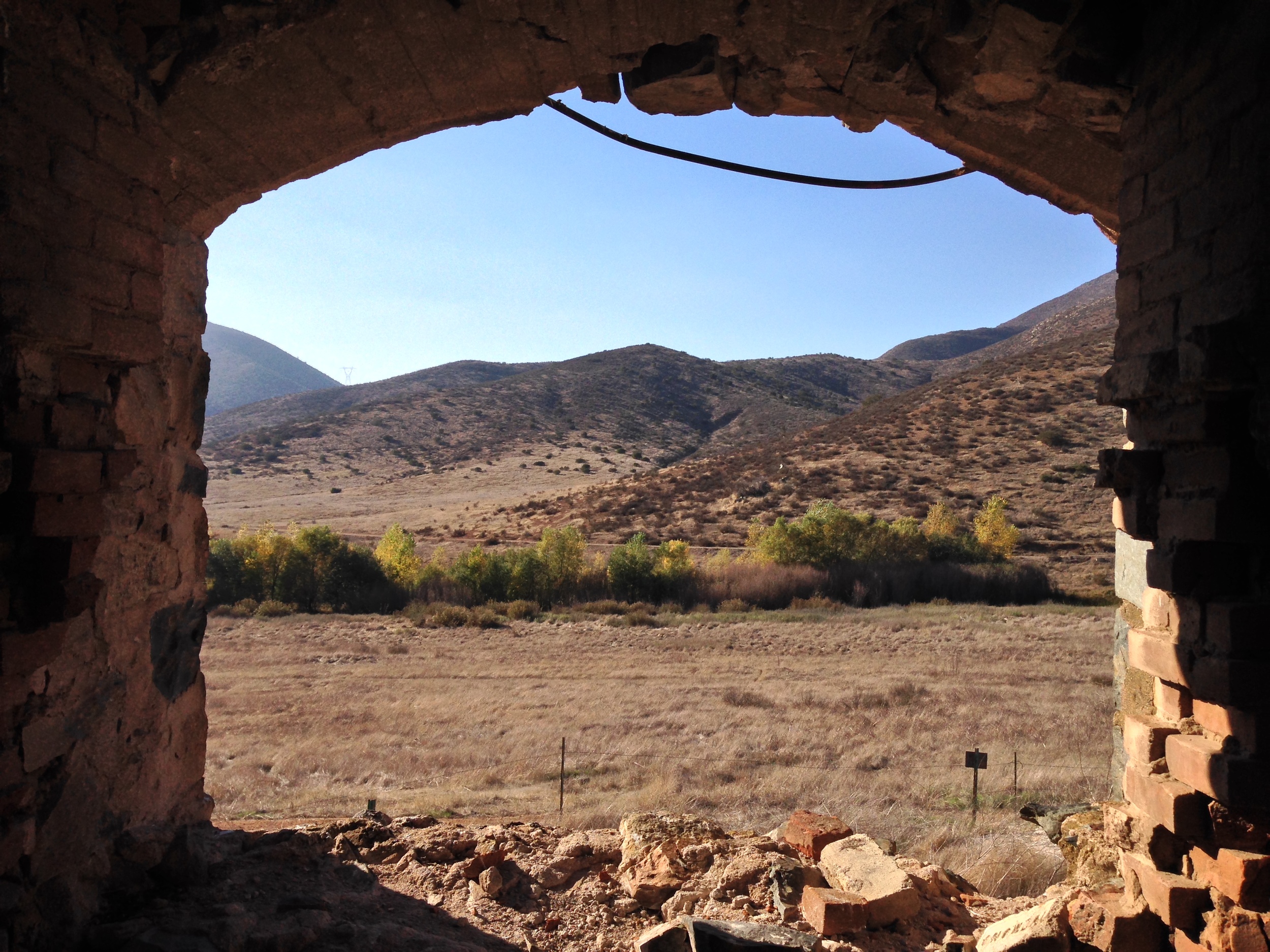
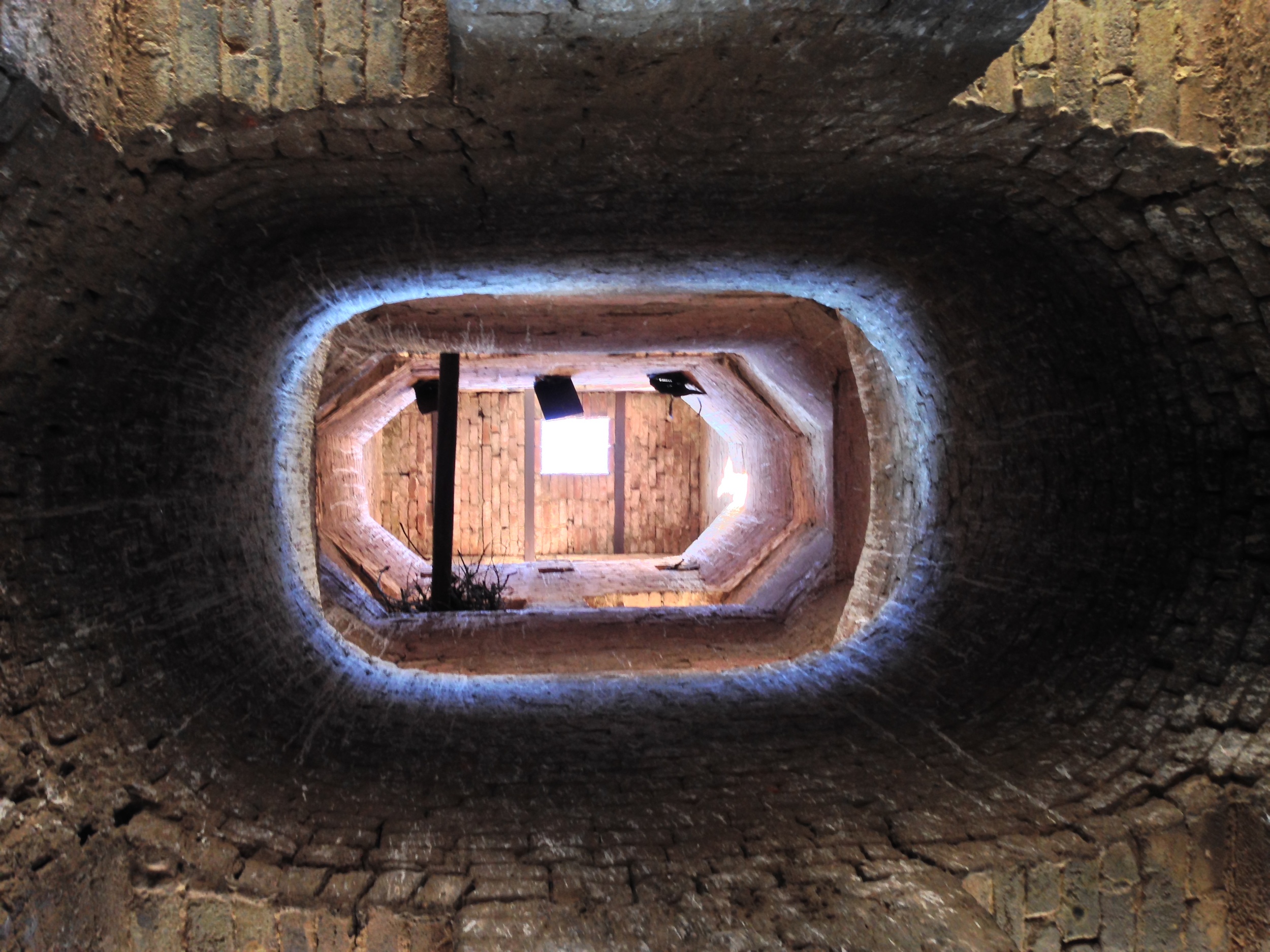
The track meandered around some hills, and into a watershed full of trees, and then, in the distance, I saw it. It sat up upon the hill, with a commanding view of the valley and nothing else around it. It looked more like an abandoned castle, or mansion, left to fall into disrepair for unknown reasons. What it did not look like was a factory, or kiln. Even though I had found what I was looking for, I had to get closer. After making my way across the valley, I made my way to the base of the structure, and just stared at it with an amazed expression. For starters, it’s big. At over three stories tall – not counting the chimney, it’s a large structure. If I was to guess, I’d say it tops out at around ~120 feet. Even more impressive, it’s mostly intact. And that, in my mind is what gives this the nod as the most impressive actually lost site in San Diego – it’s a 19th century building (circa 1891) that hasn’t really fallen into disrepair – and has no graffiti. (Check out this photo of the kiln here from 1918 – it looks almost the same today!).
I spent a while checking out the site, and while I know it’s a cement plant, and I know there’s nothing strange about it, to me, it felt more “haunted” than the Whaley House. While nothing supernatural happened to me there, it is an awesome spot; and an awesome ruin, especially as it has succulents growing out of the upper floors. If you’ve read this far, you’re probably wondering where the directions are to it. When I set out to find this spot, I thought that when I found it, I would be able to share a great post about it, and the directions to it. However, after finding it, and after spending some time at it, I felt like I would be doing the site – and its history a disservice if I was to post directions to it. What tips the balance in my mind, is the simple fact that the site is more or less intact (minus the ravages of time), and has not been desecrated. If you follow any type of news, you know that being outdoors is more popular than ever – and the unfortunate side effect of this popularity is that some people don’t respect either natural or unnatural features in the environment.
While I know it’s not my job to be the gatekeeper for this – or any site, I do feel strongly, as I did about the Blue Sun Cave, that I do have a responsibility to protect these areas for future generations and explorers. I feel like I would be remiss if I blindly posted directions to these sensitive sites; and I feel like I would be further remiss if I allowed intentional – or accidental harm to come to these sites. Having said all of that, if you’re smart; and if you’re an explorer, there’s plenty of information here (along with photos), for you to hike the 7.15 mile roundtrip distance to the ruin, and see San Diego’s most impressive lost historic site. And, as always, remember that there’s adventure everywhere – especially in the wild.