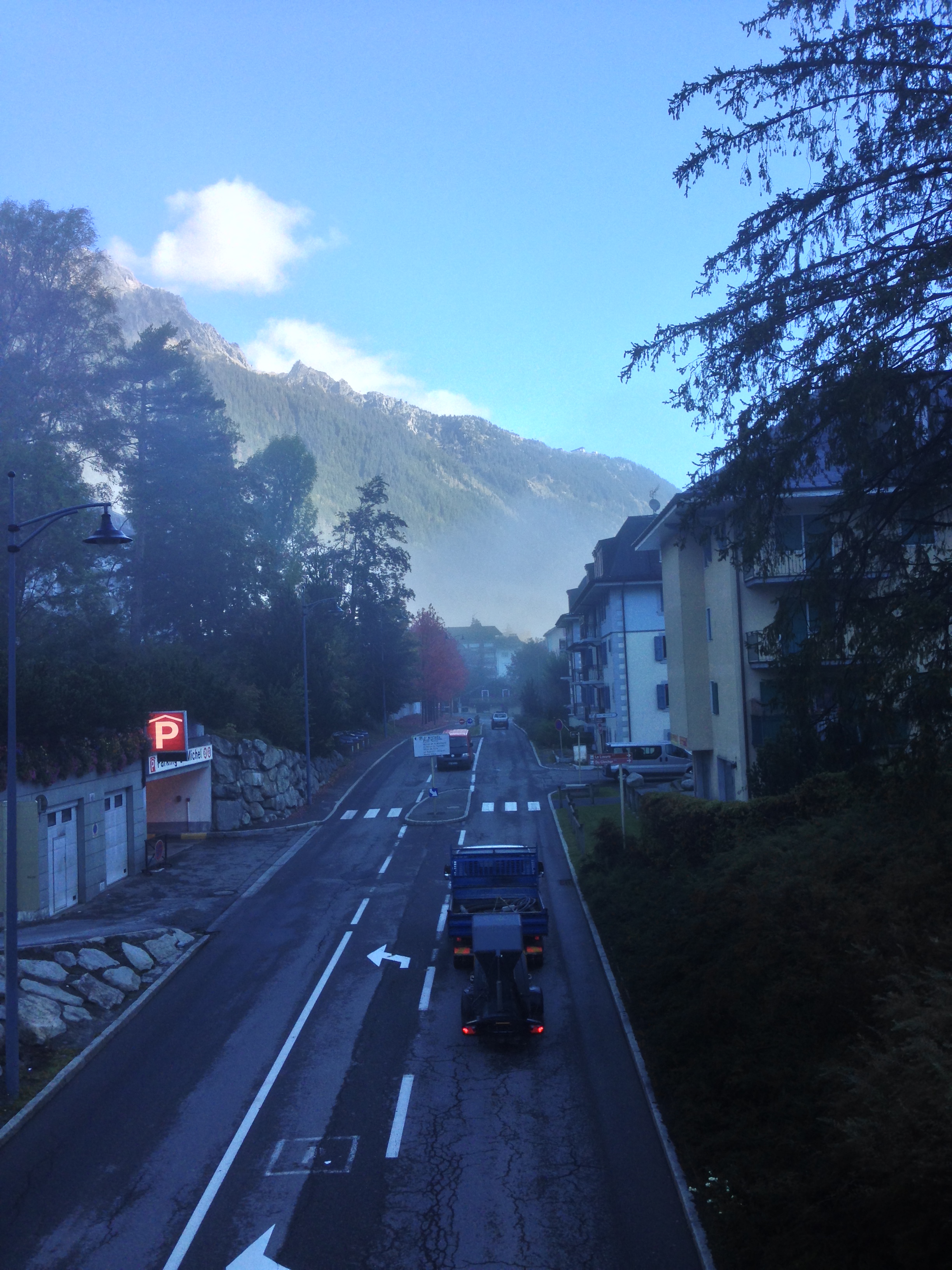
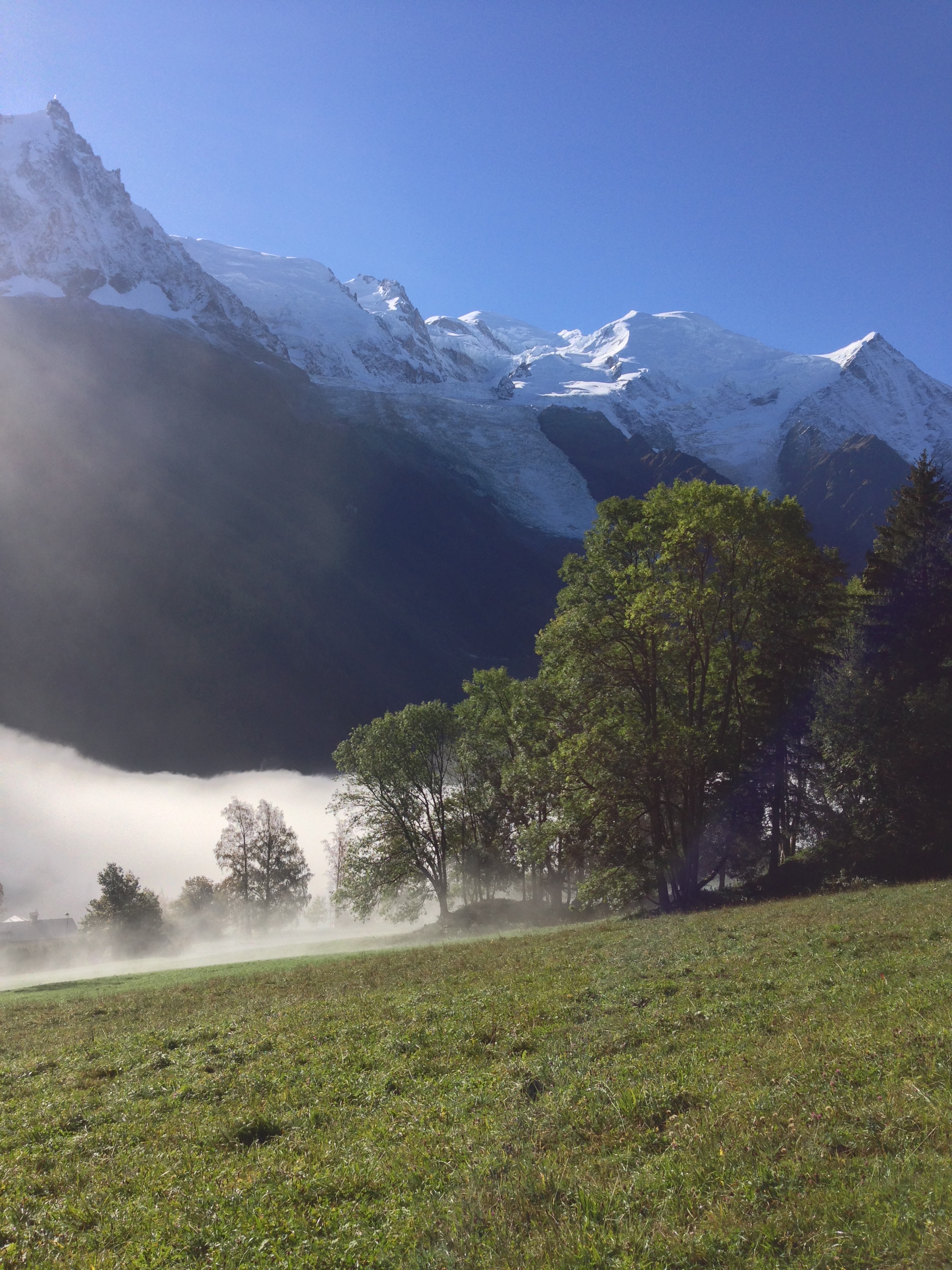
Morning, Chamonix Valley
Chamonix, France is one of the top adventure tourism destinations not just in Europe, but around the world as well. Located in the Southeast of France, the town is located in a valley that is bordered by high mountains. The northern spur of mountains features Mount Blanc, the highest peak in western Europe; and the south spur of mountains features an a number of equally impressive peaks. The town itself is a gateway to a number of activities that vary depending on the time of year, but include skiing, mountaineering, rock climbing, and mountain biking. However, it is important to note that the region has a number of things to do that are accessible to even the casual traveler. In particular, the region has a number of day hikes for all skill levels. I've included what I think are the best three below, ranging from beginner to more challenging for parties looking to fill part of a day or all of a day in the region.
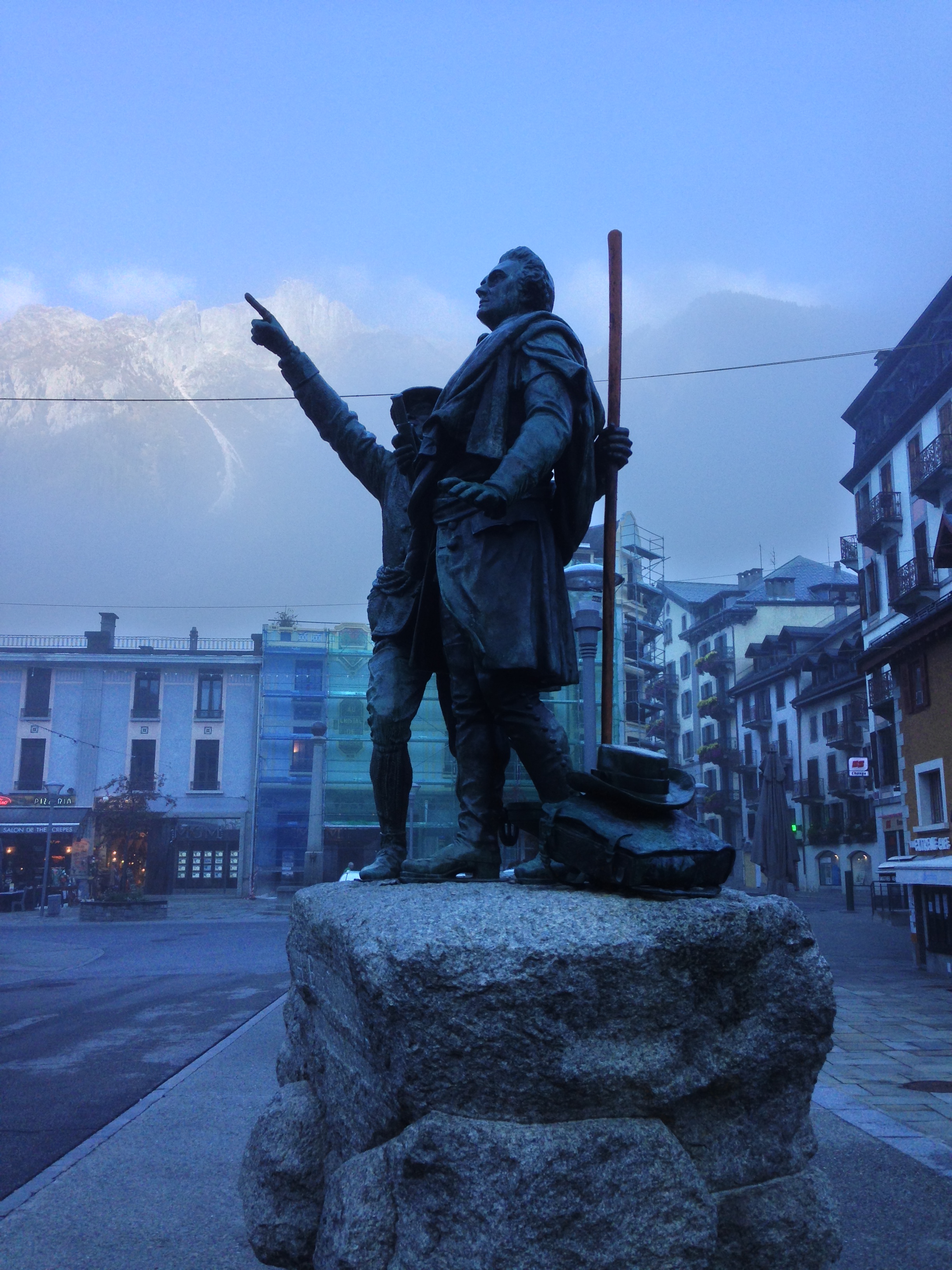
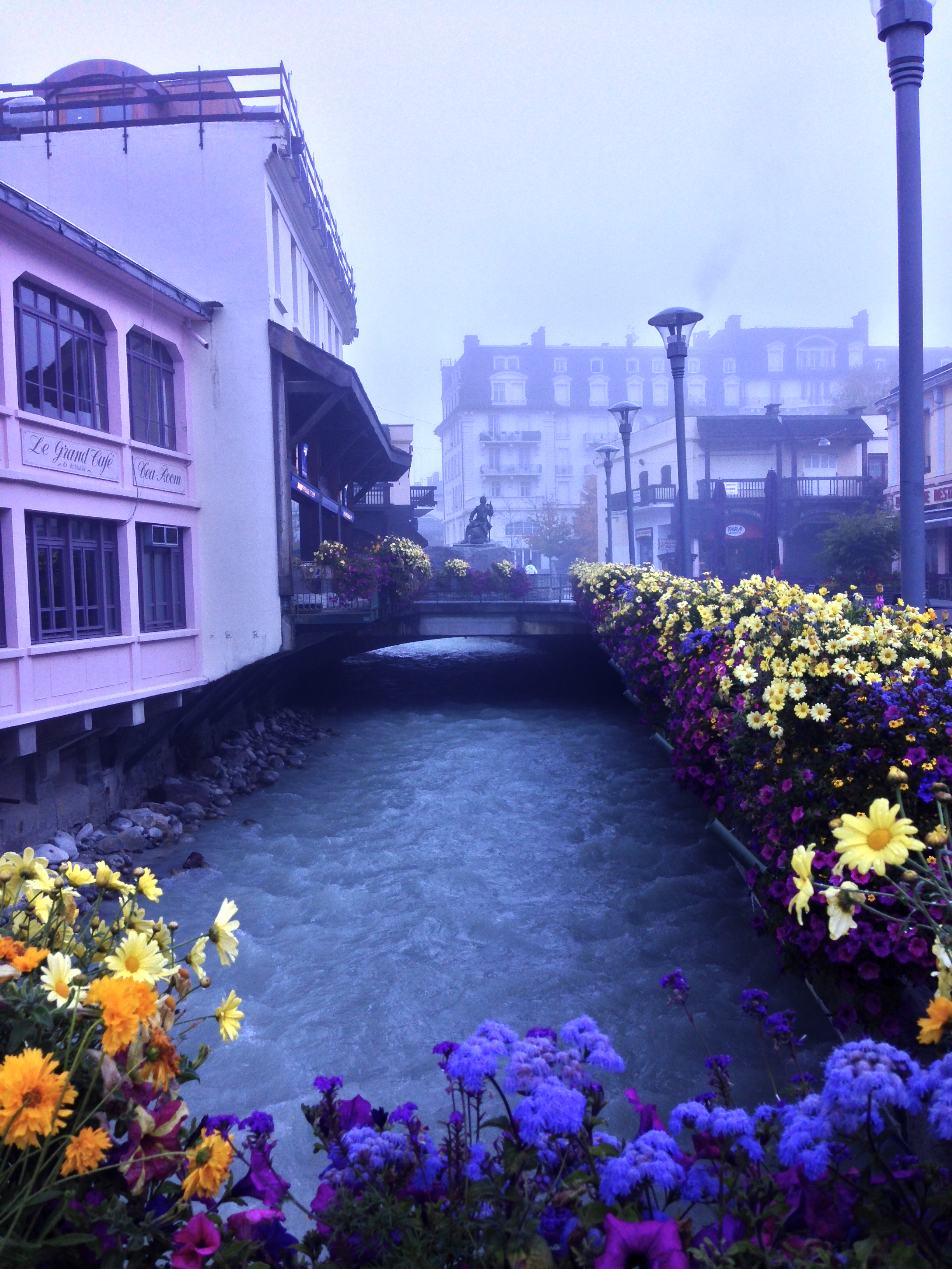
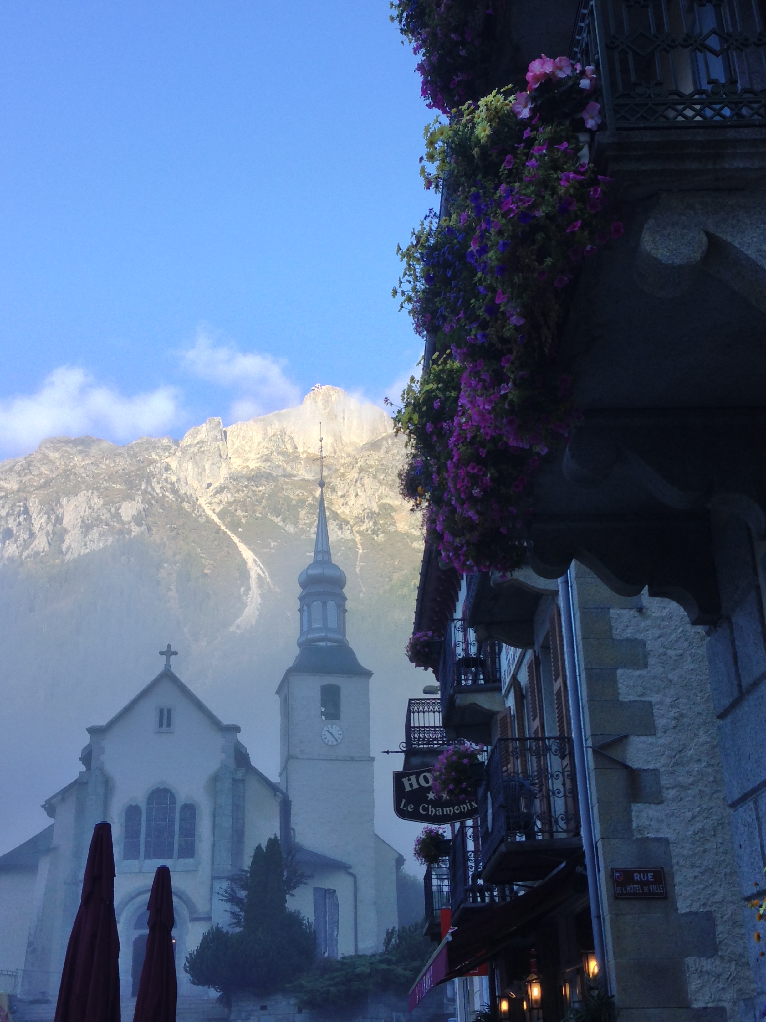
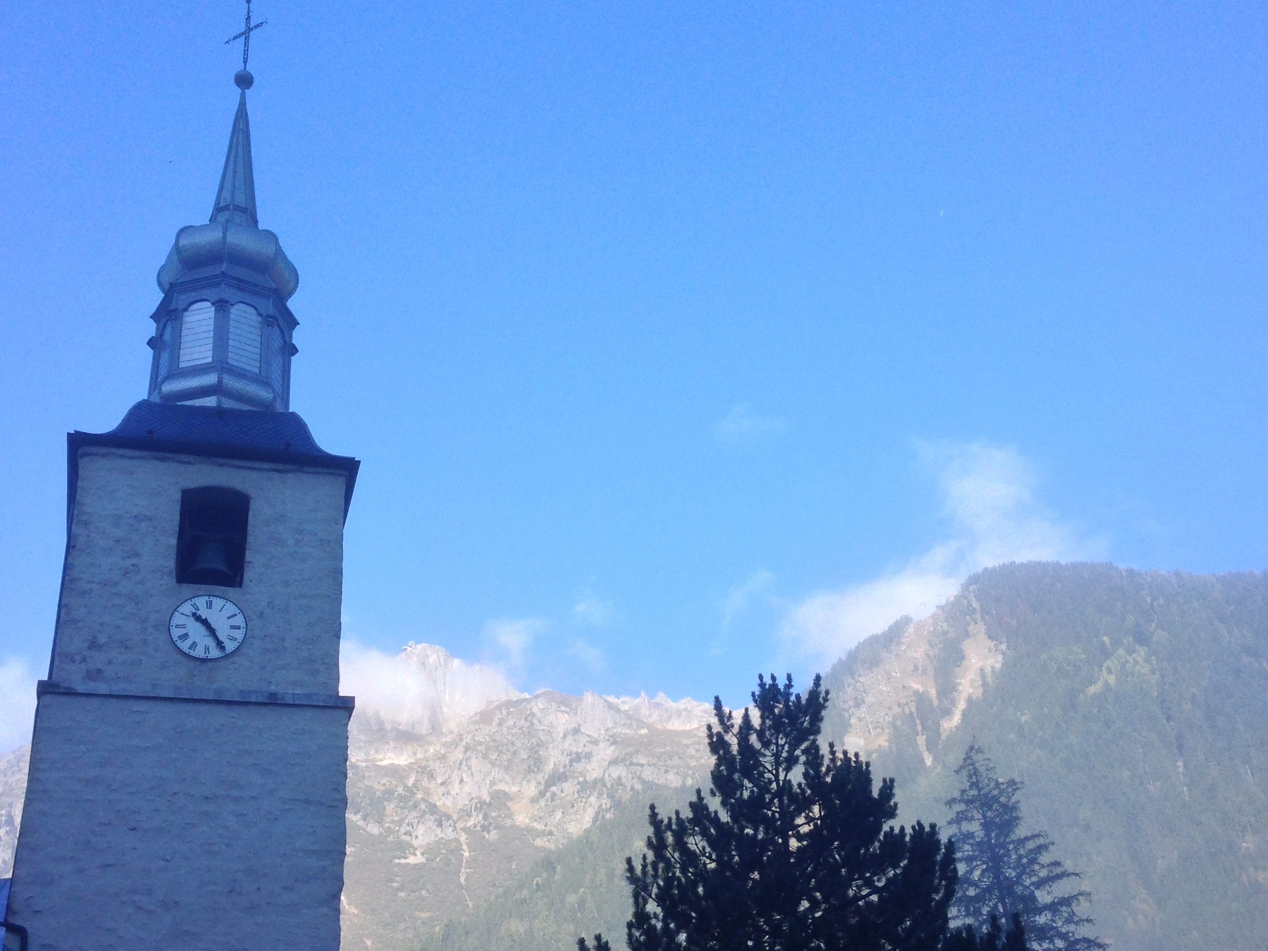
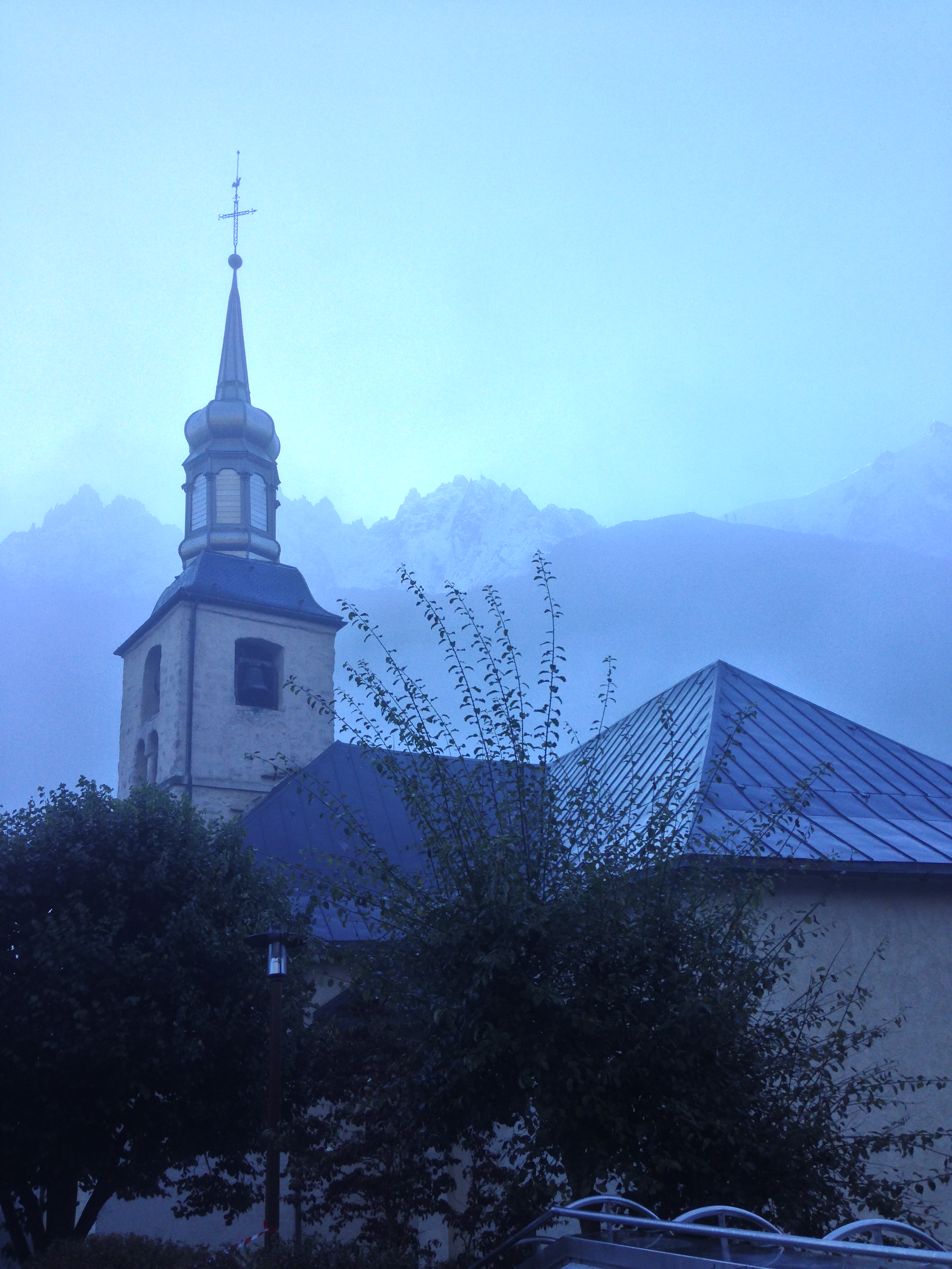
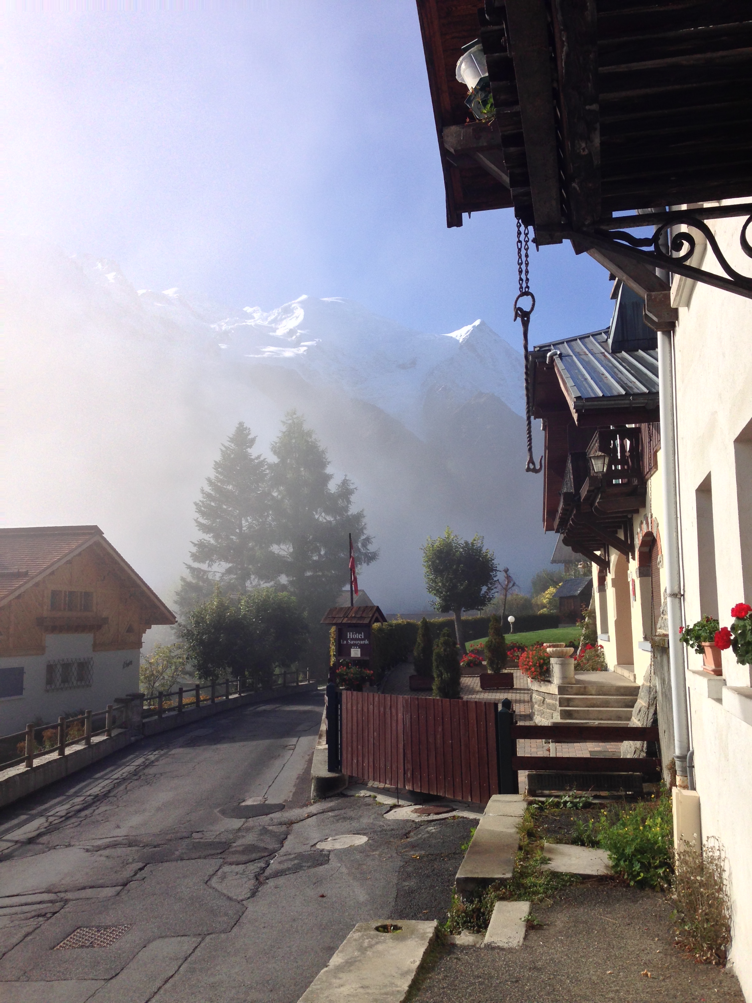
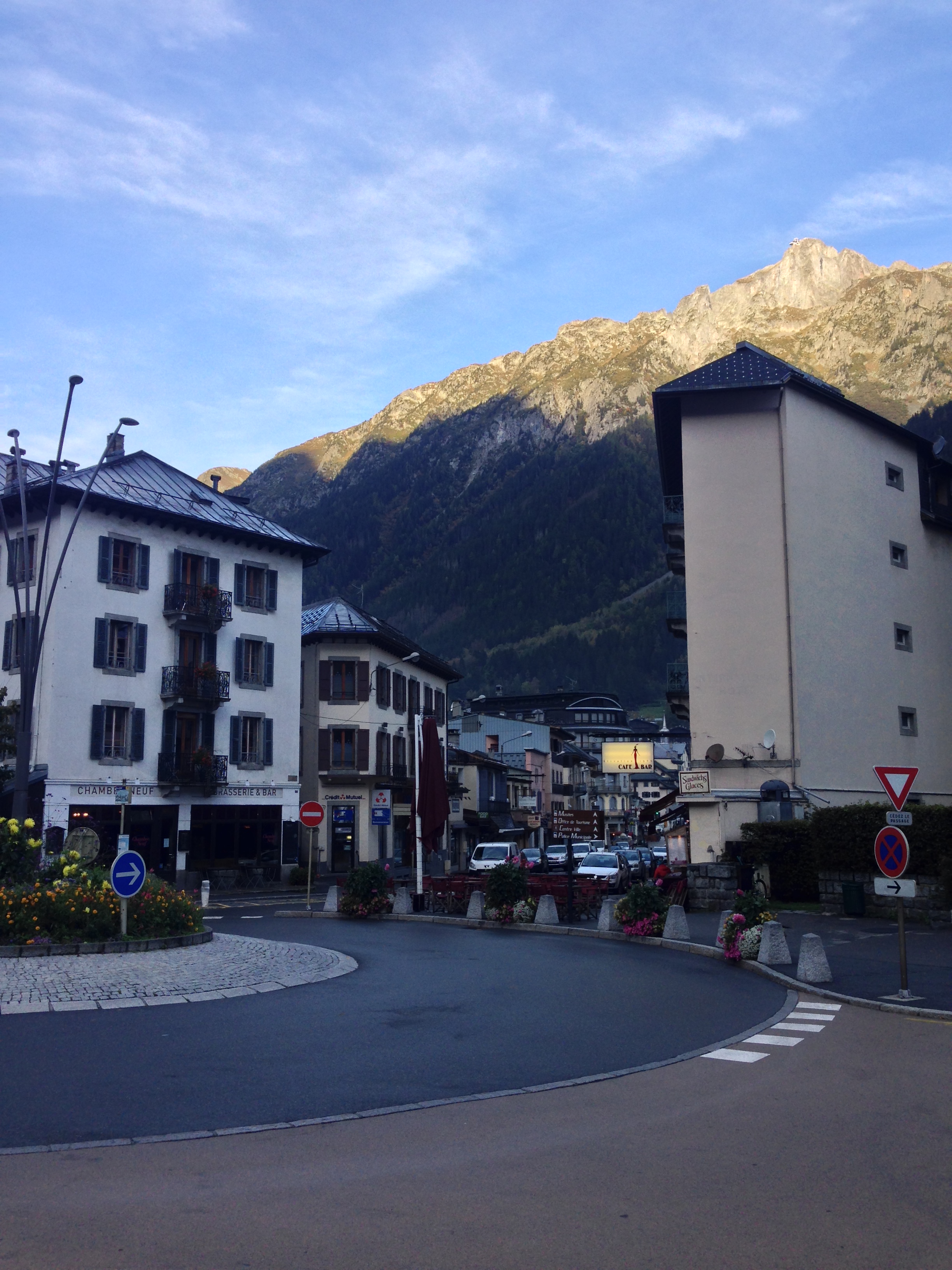
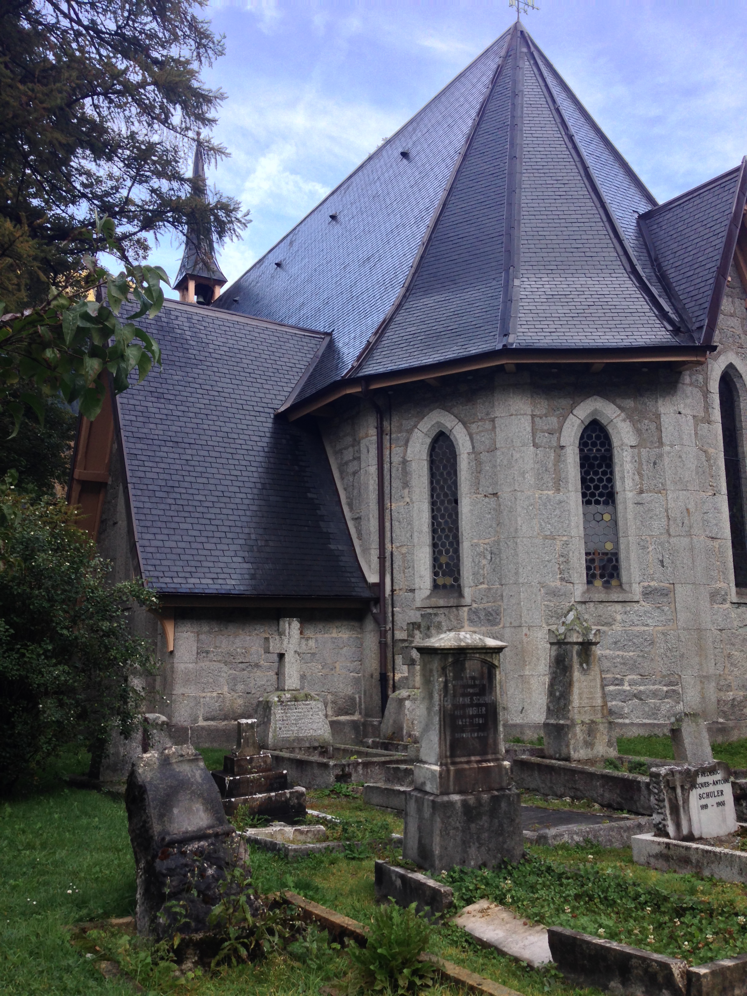
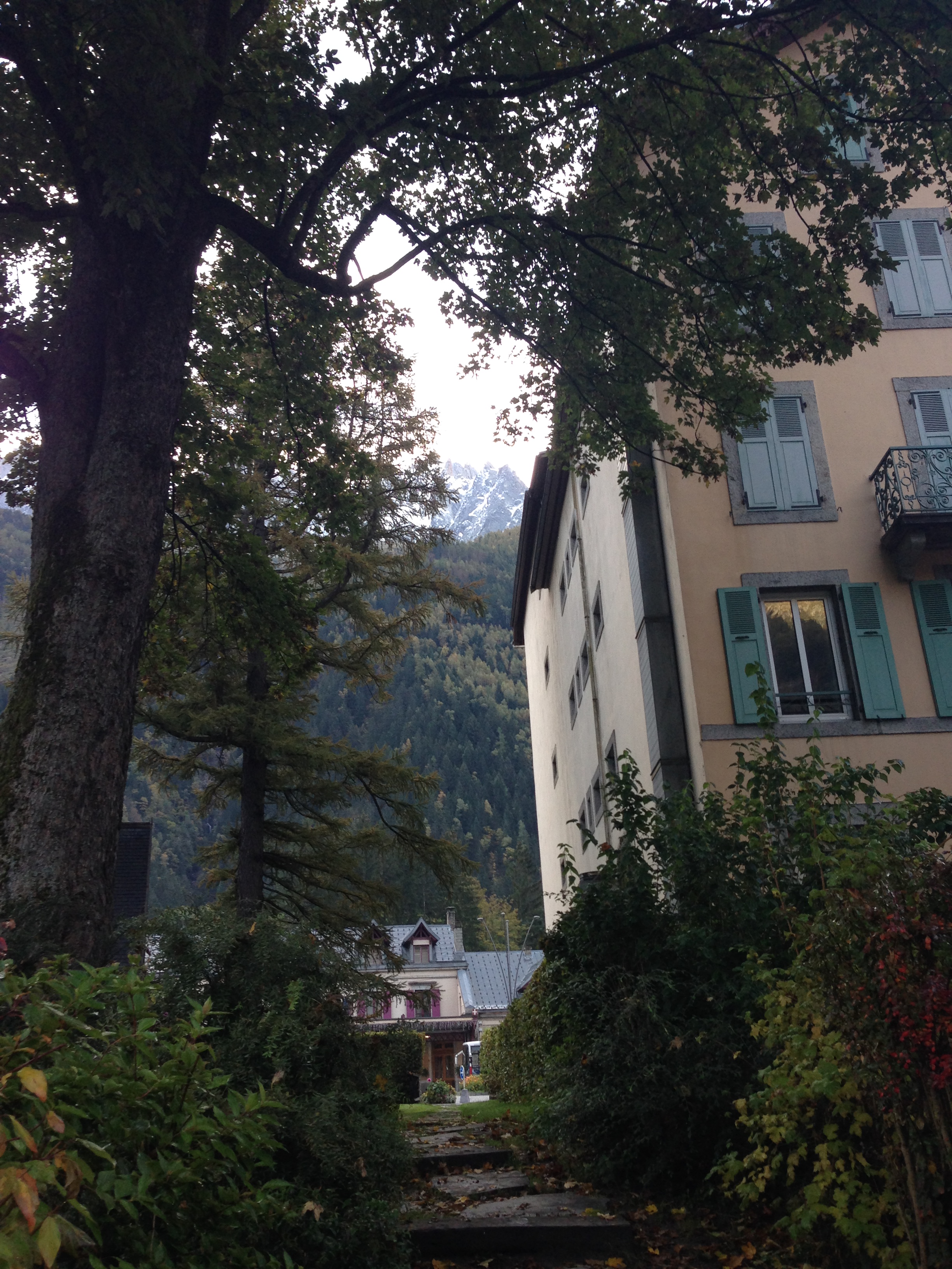
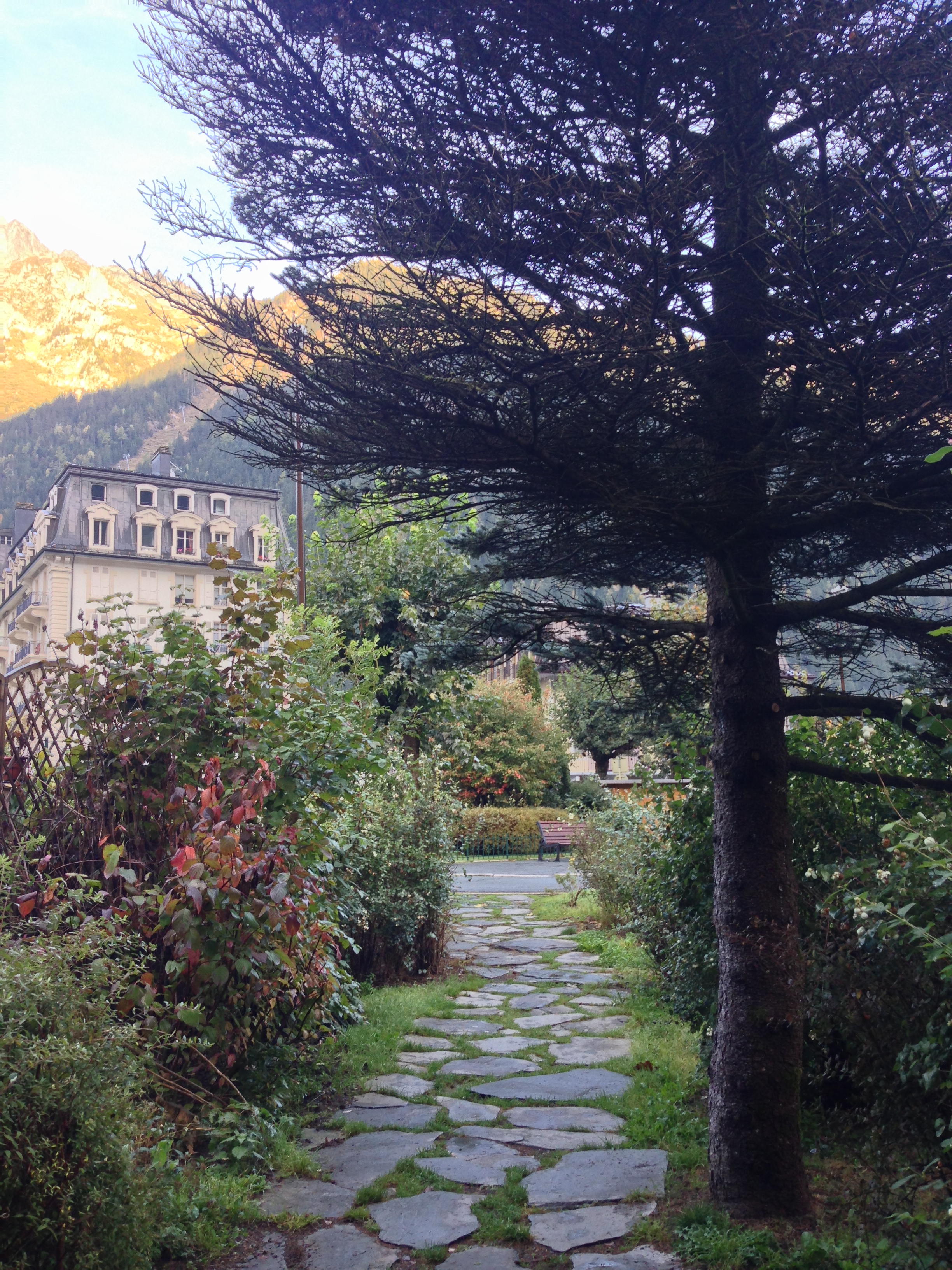
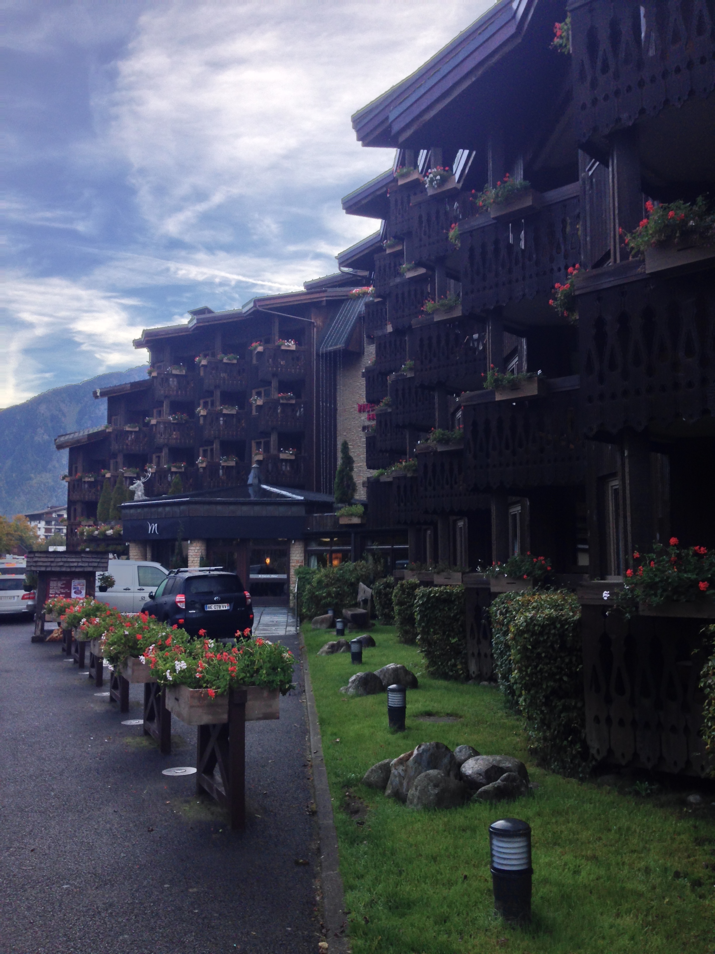
1) Walk the Streets of Chamonix. Hiking purists will complain that walking the streets of any town is not true hiking, but exploration and adventure in my opinion lies where you find it. Moreover, in my experience, I find you learn more about the location you are visiting if you get out and walk the streets, rather than blindly following a list of approved or recommended destinations. Chamonix, like most of Europe is a town with a rich history and rich culture, and the best way to experience it is to get out and immerse yourself in what the town has to offer. The town is very accessible to walk around, and the train station is located near the center of town, which is bisected by the Arve river. Walking the streets is an easy endeavor, and can be as long or as short as one likes. The final advantage to walking the streets of Chamonix is that many of the main attractions - the Mer de Glace railway, the alpine slides, the Aiguille du Midi lift and many others are near the center of the town as well.
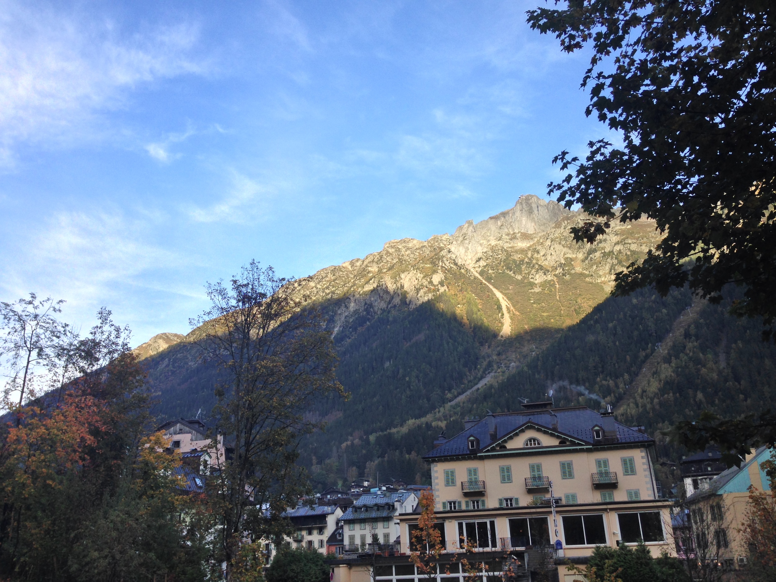
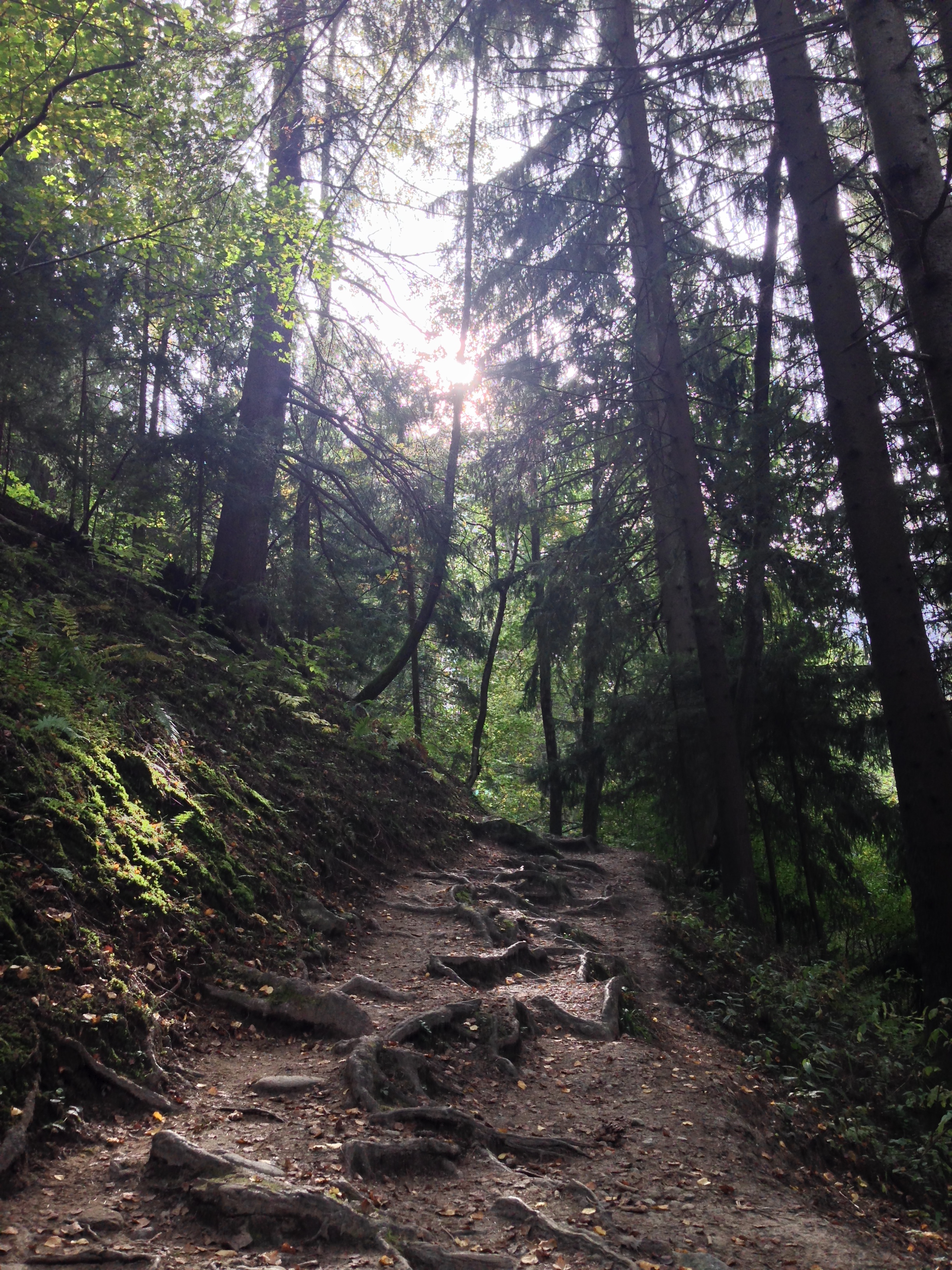
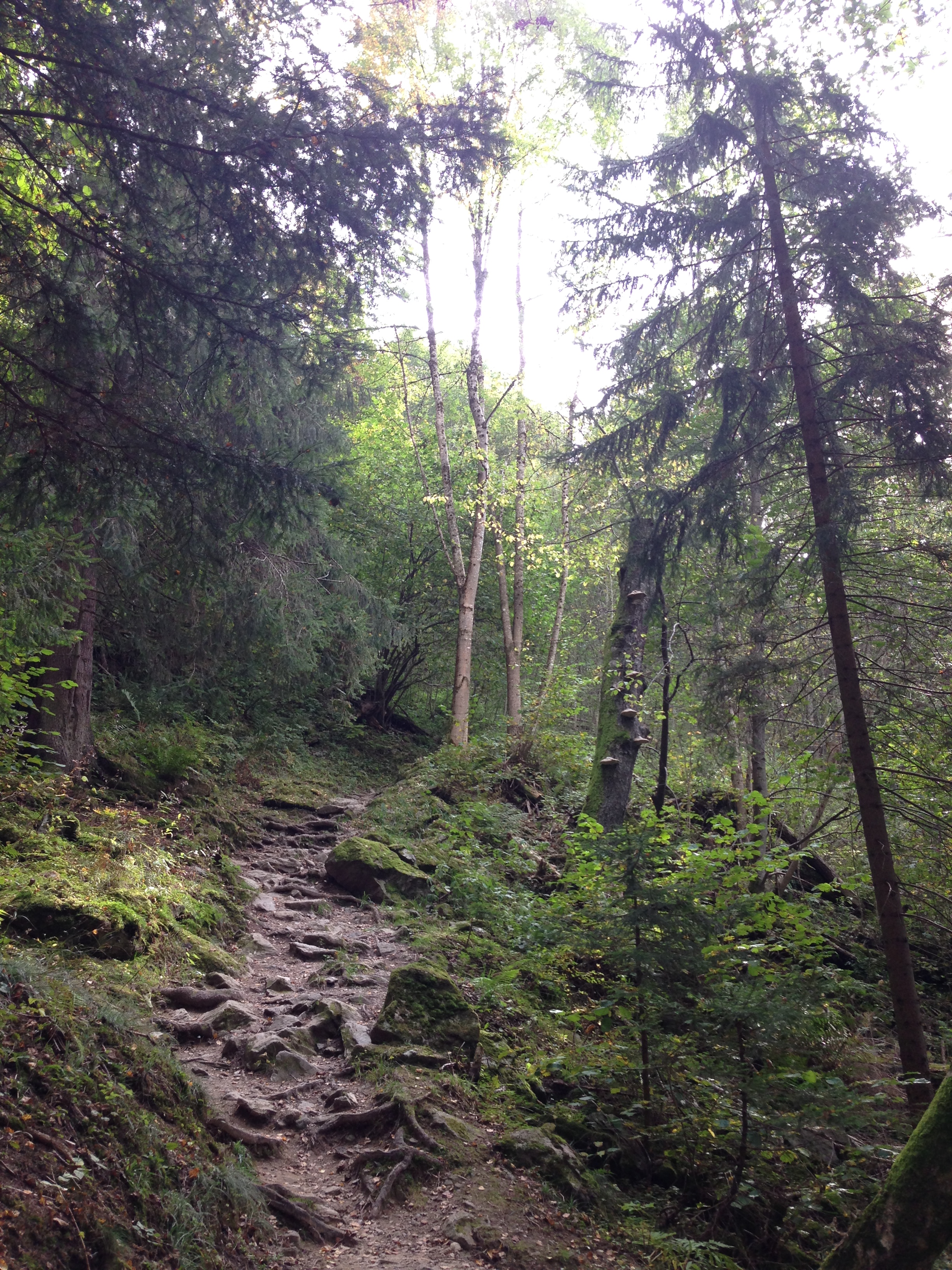
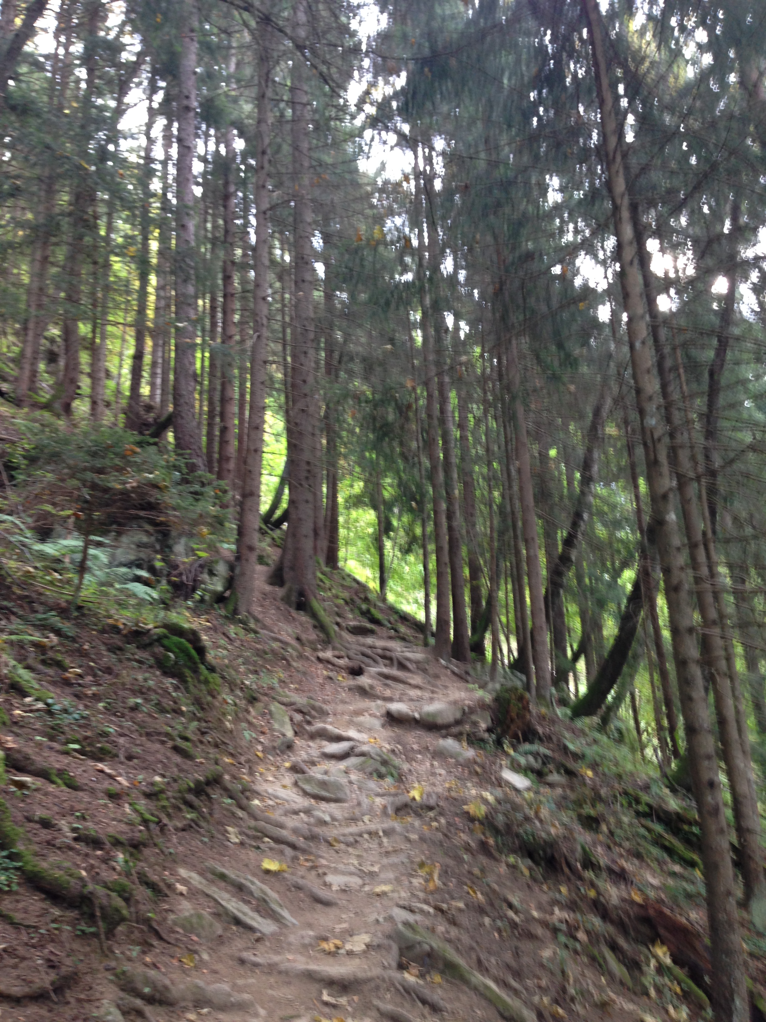
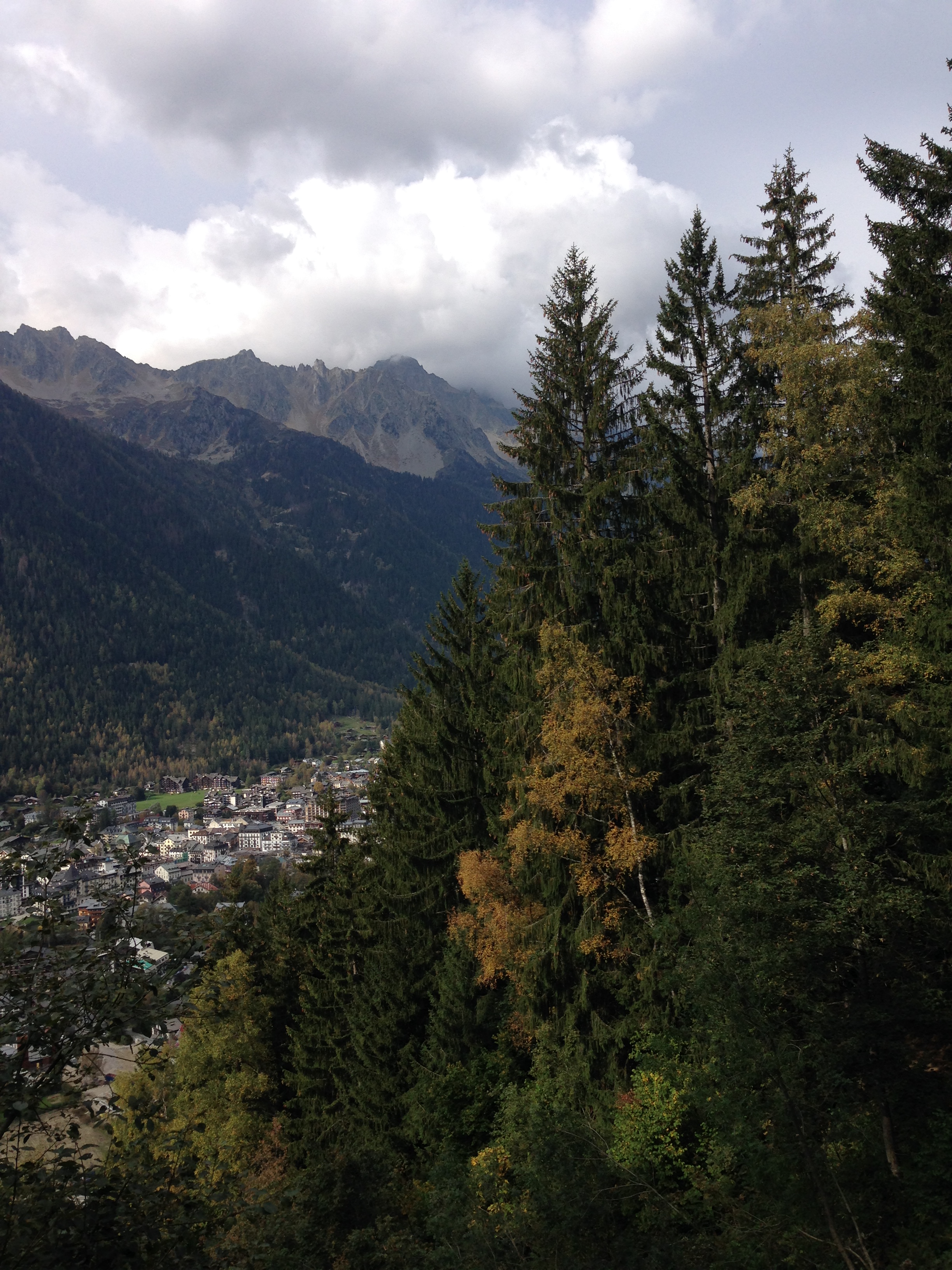
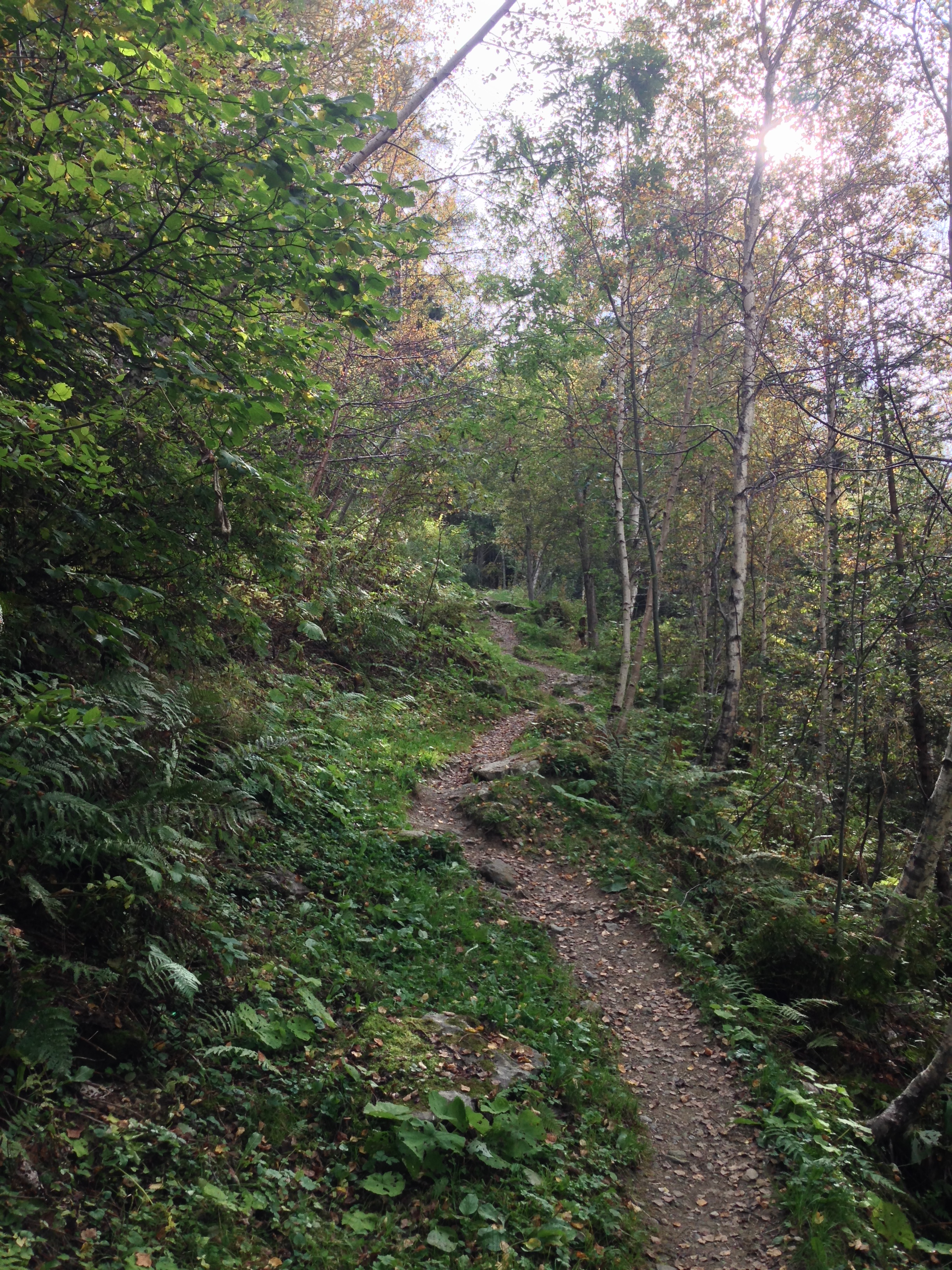
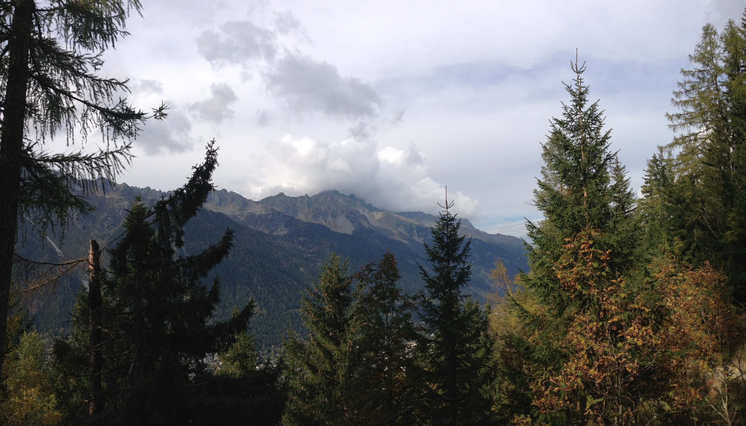
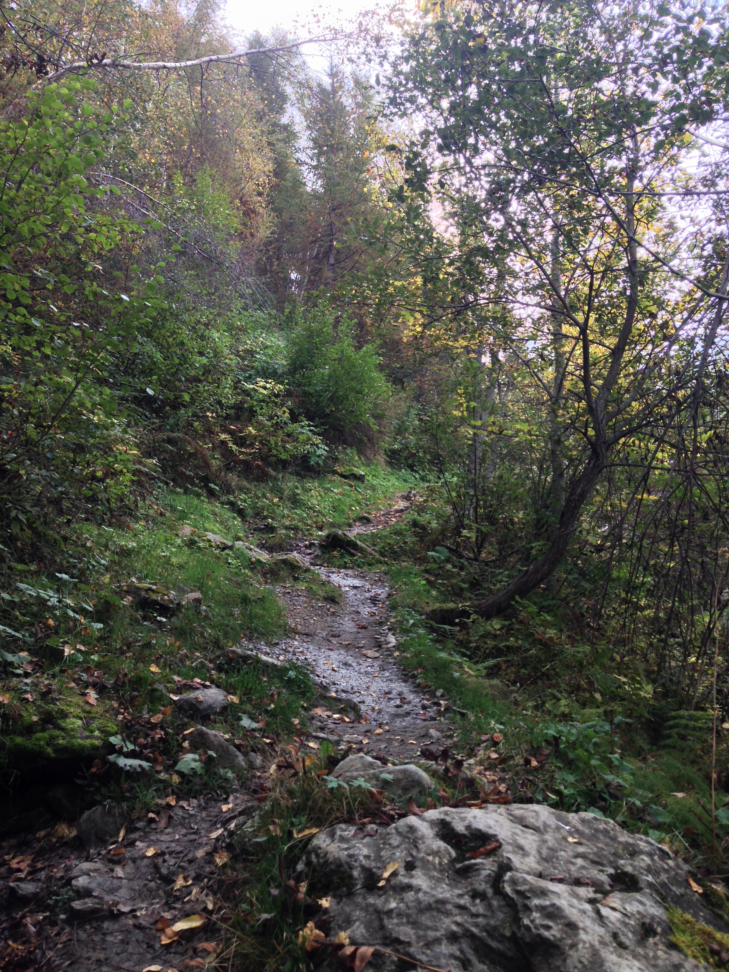
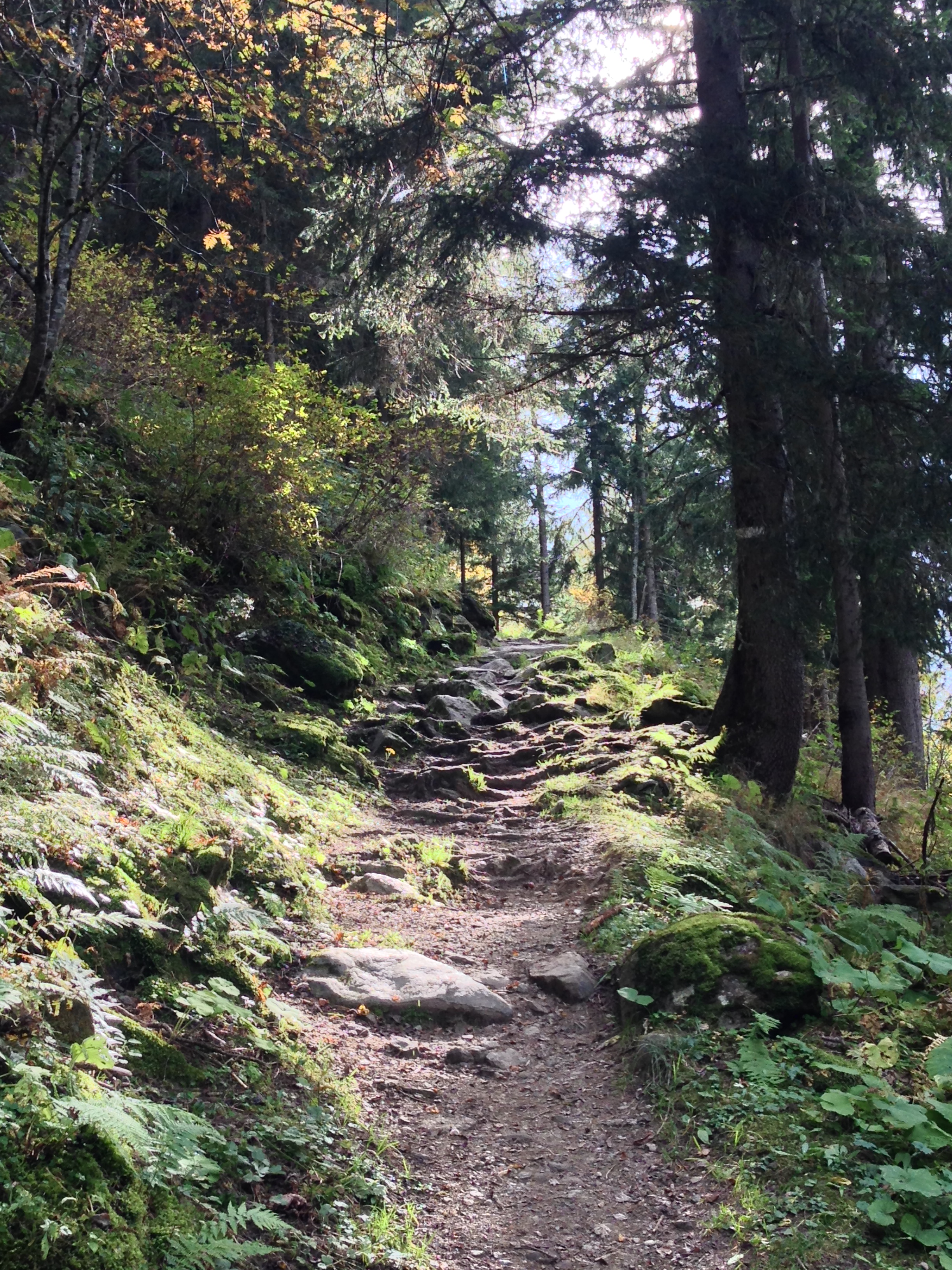
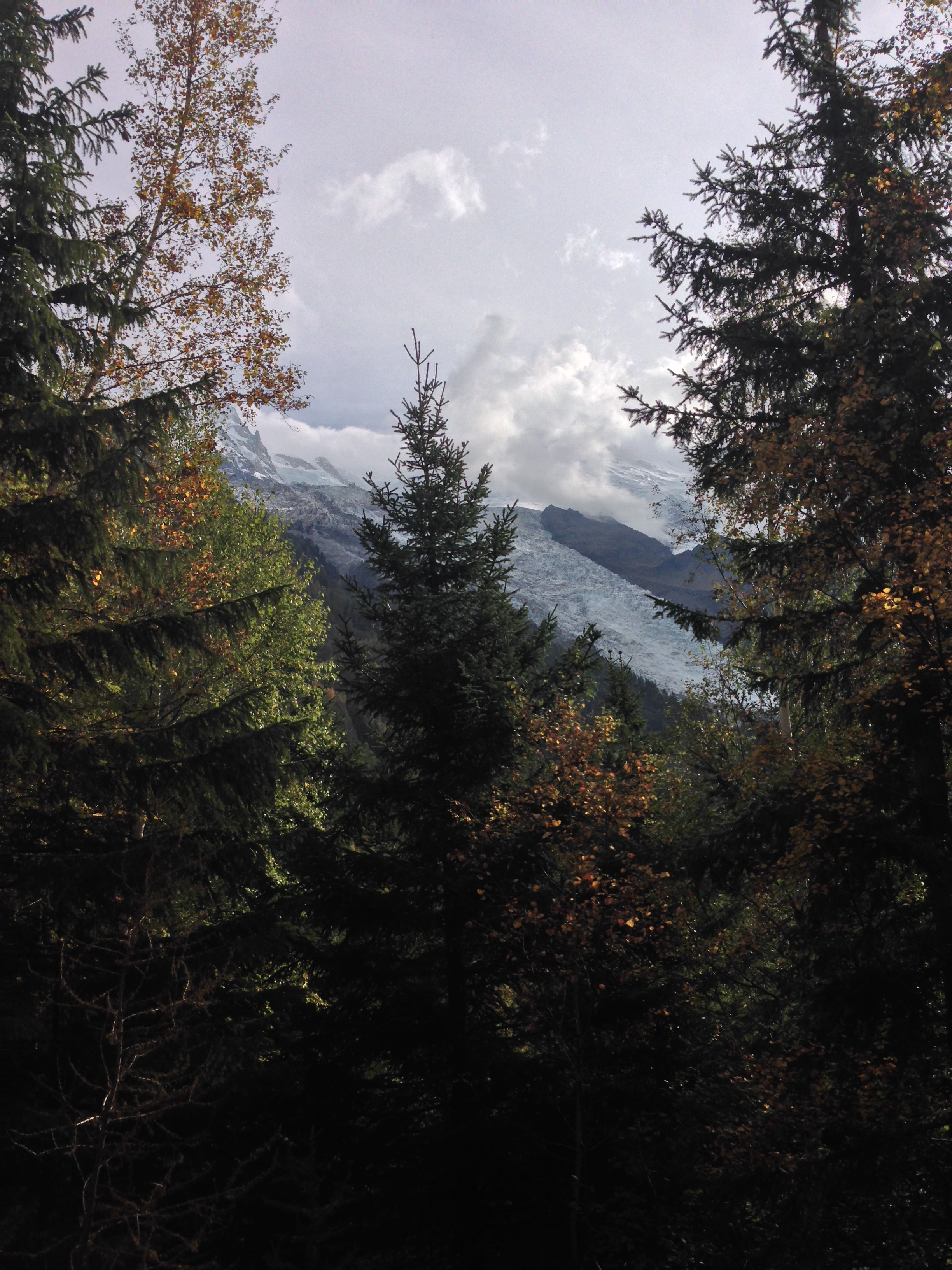
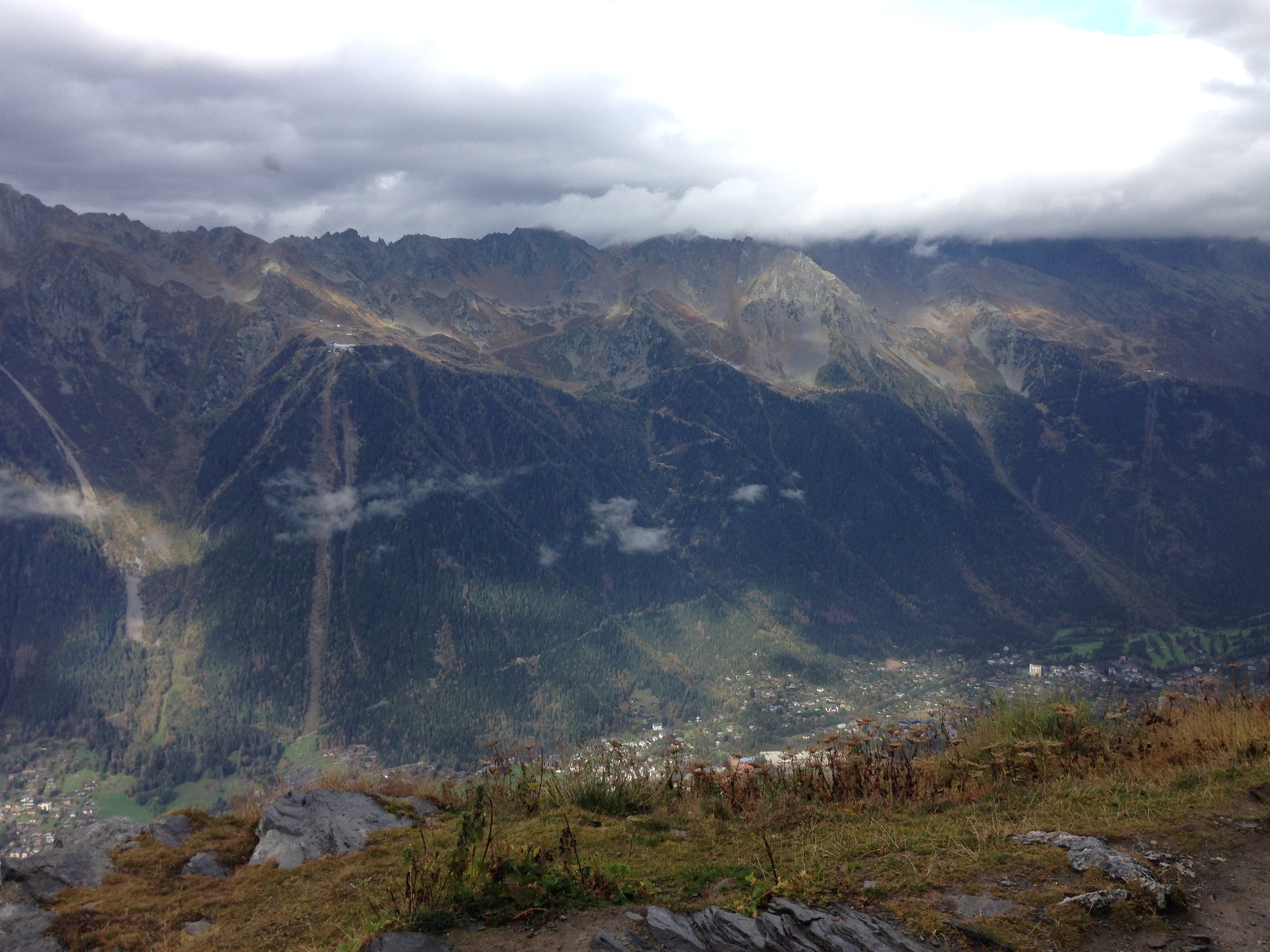
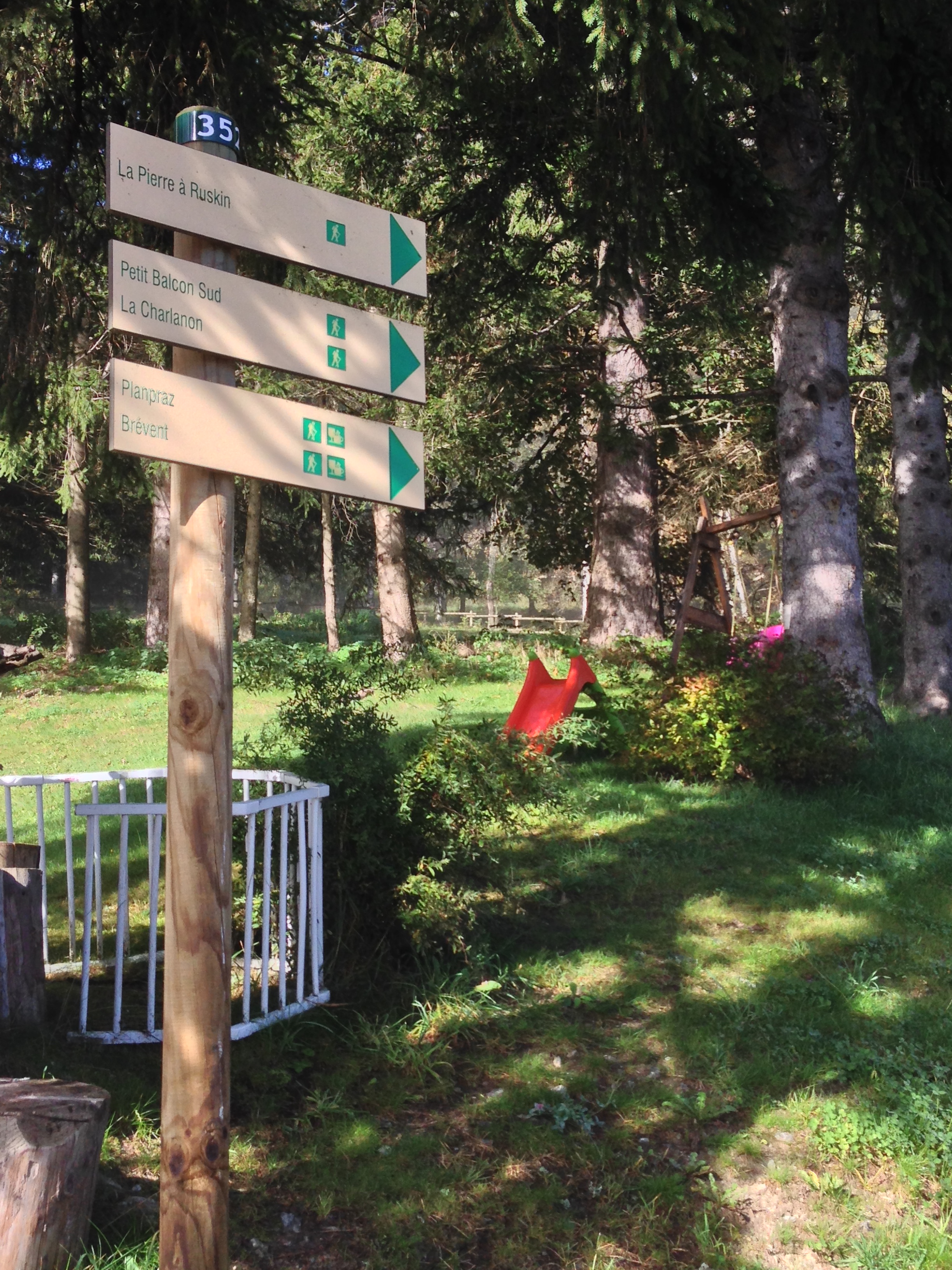
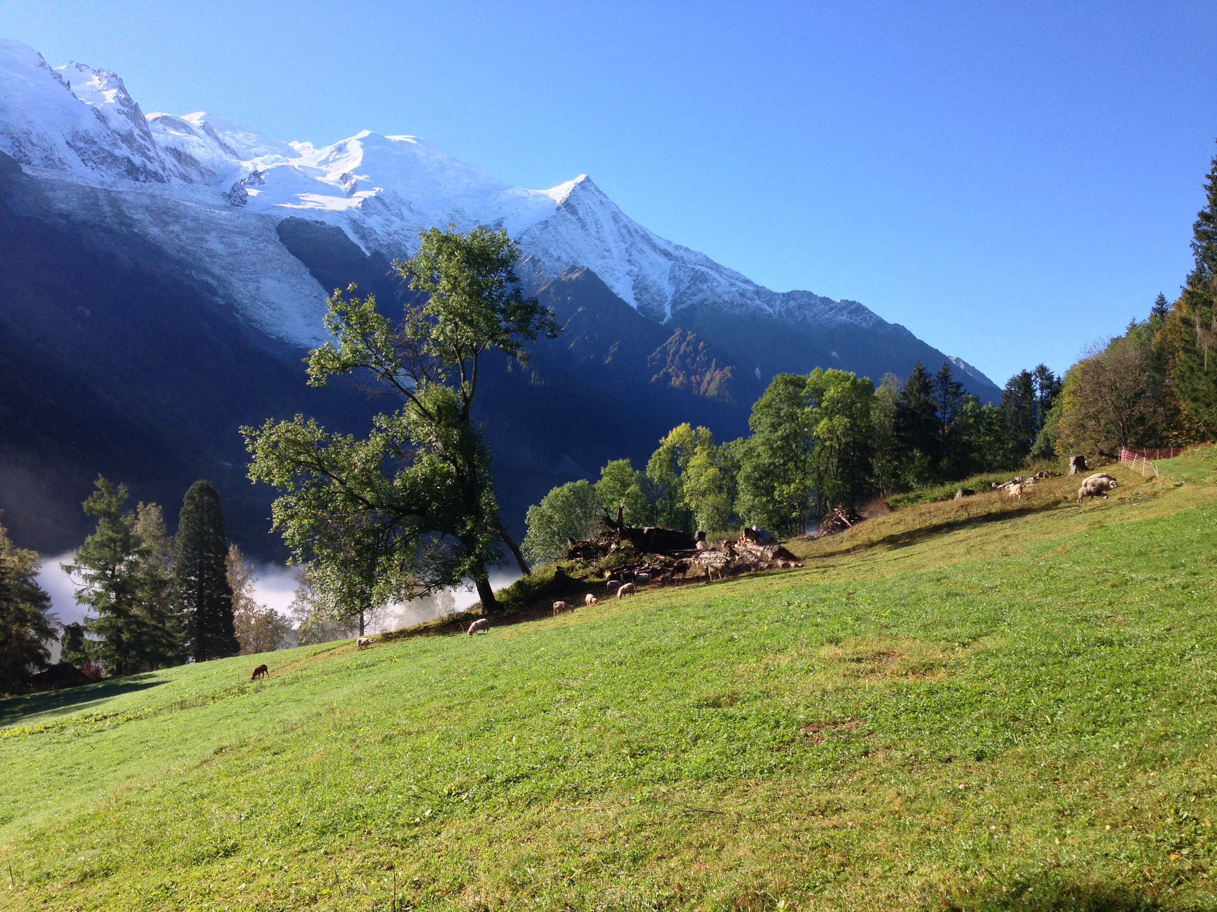
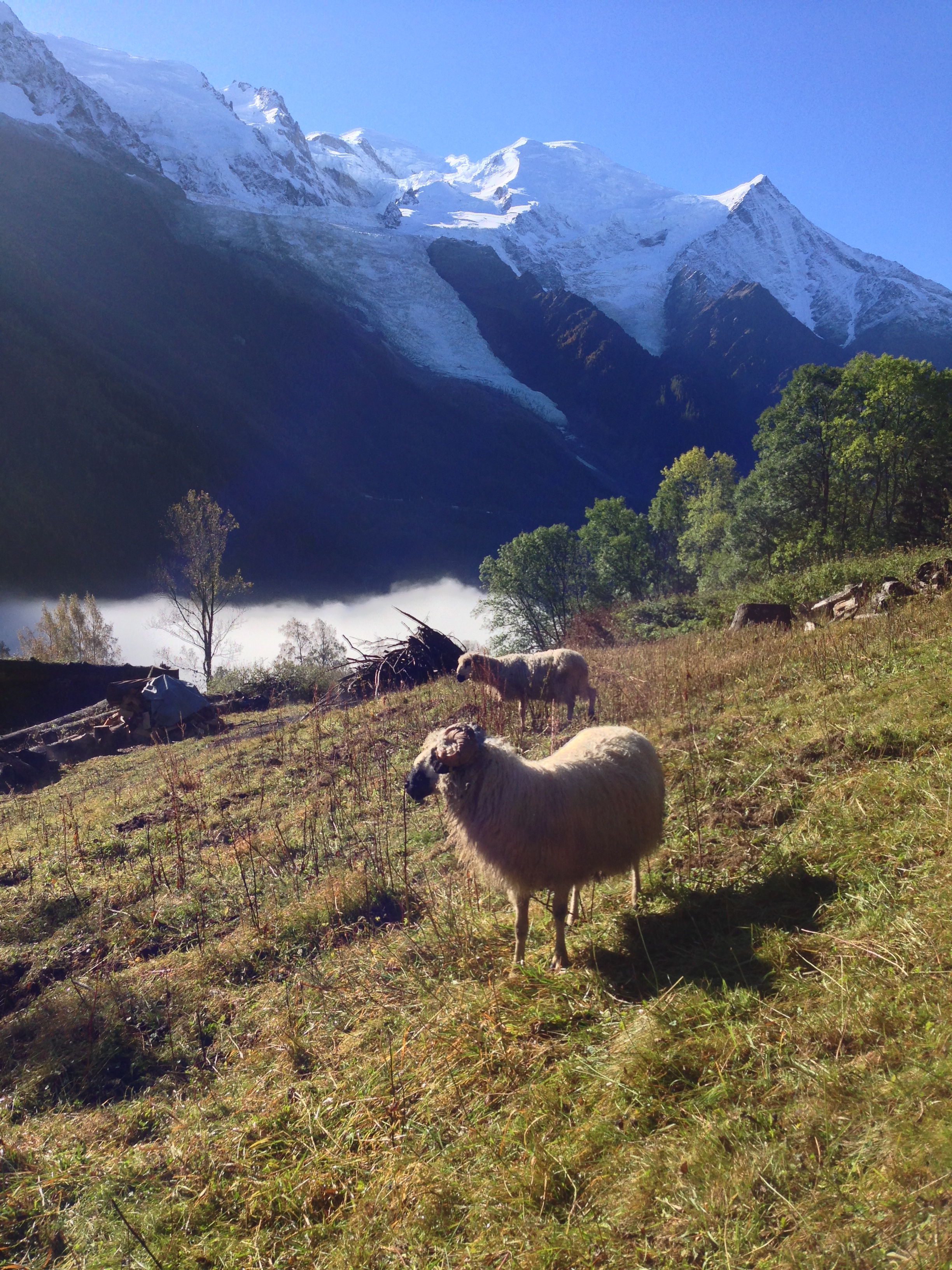
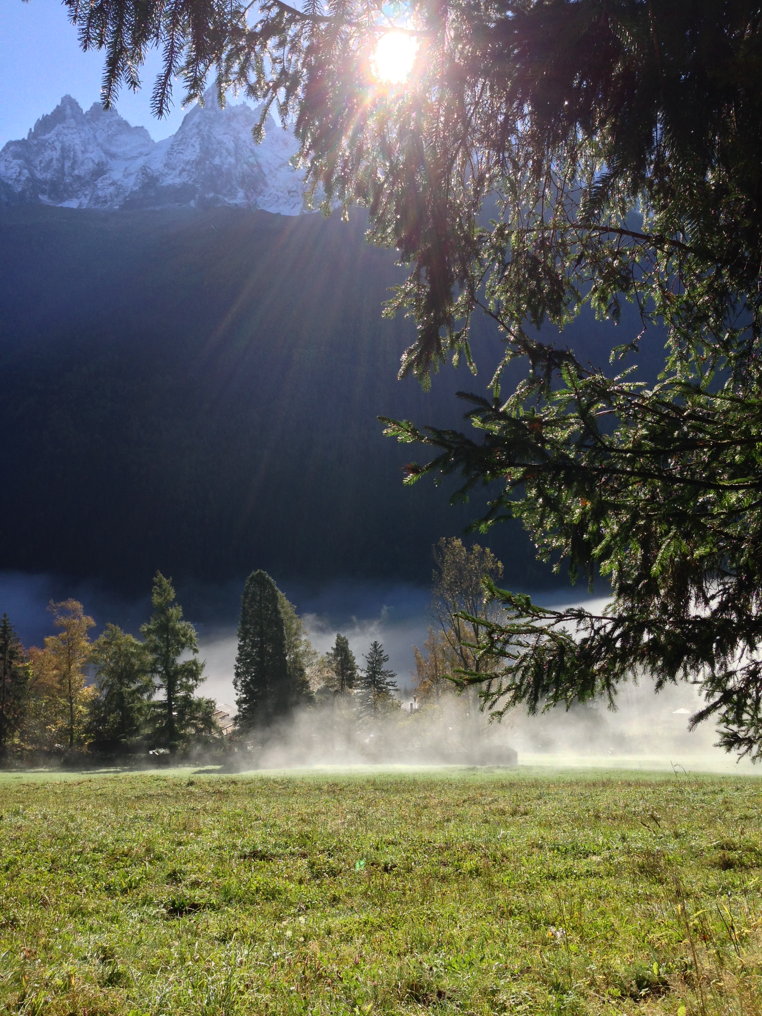
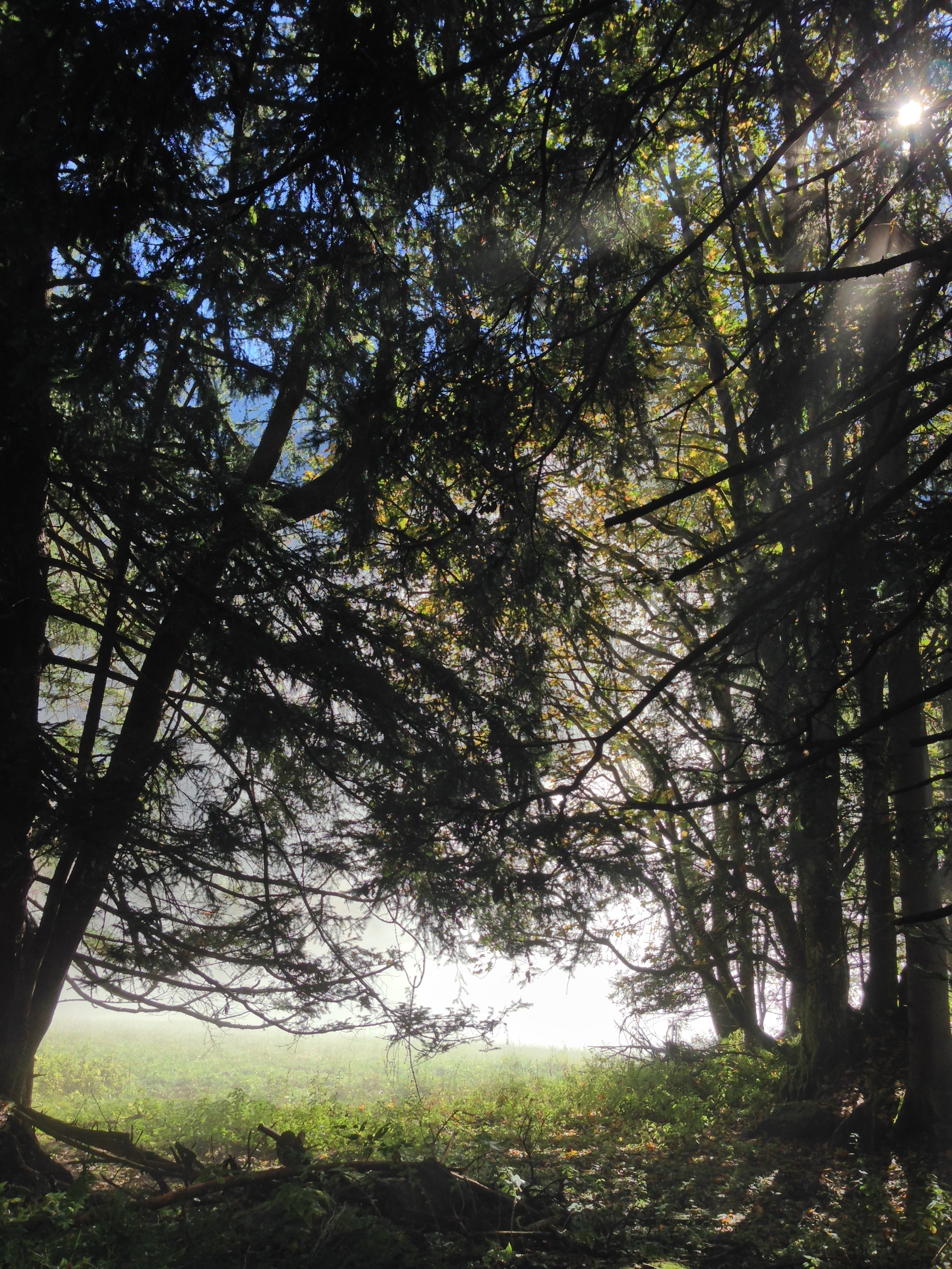
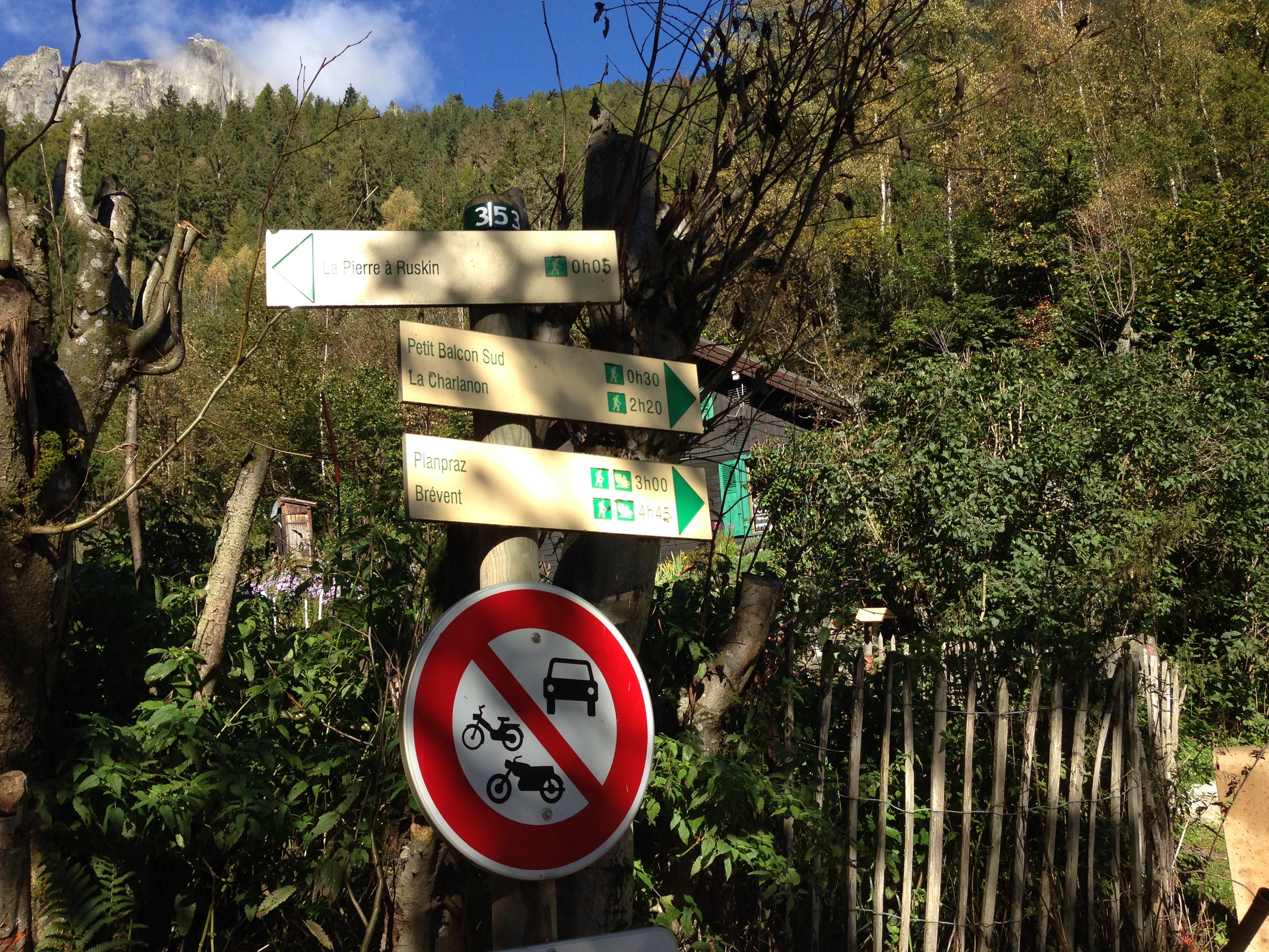
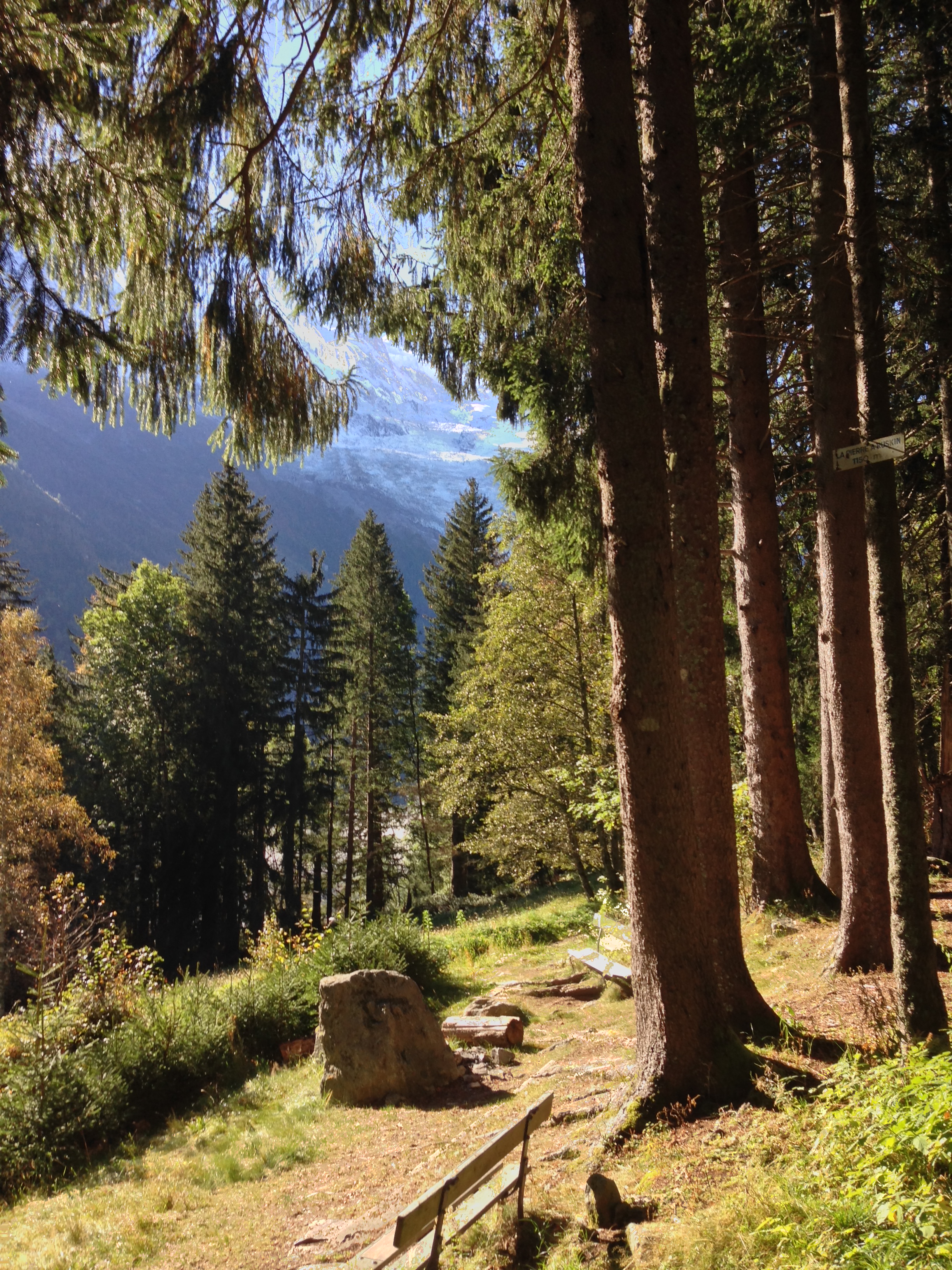
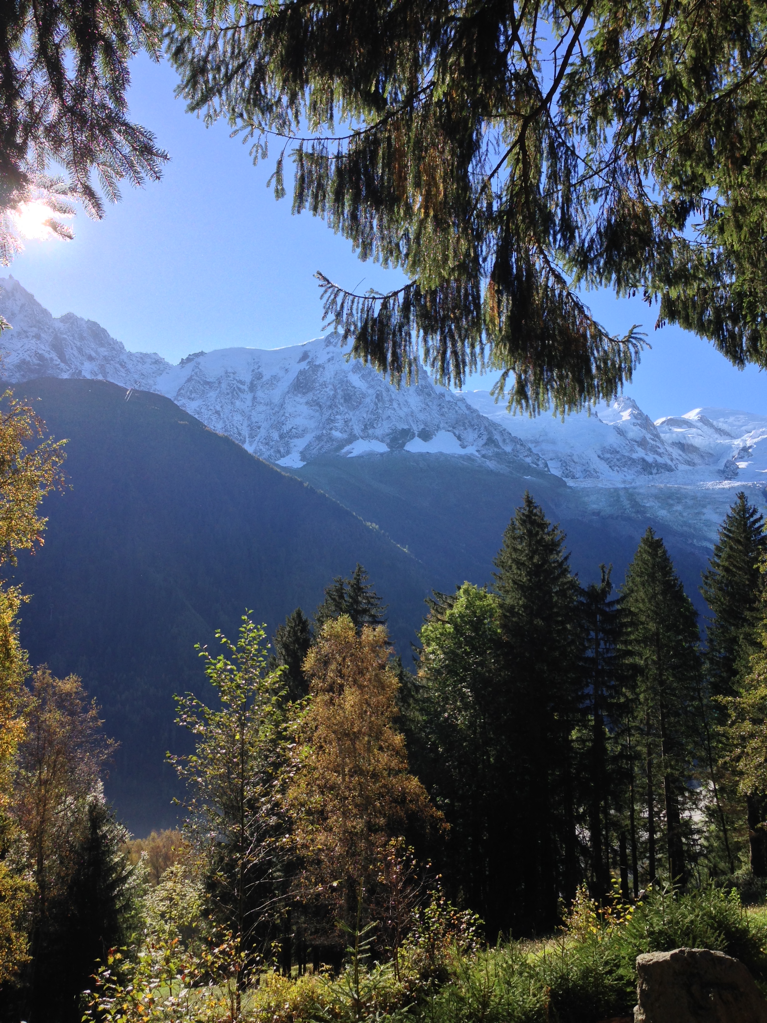
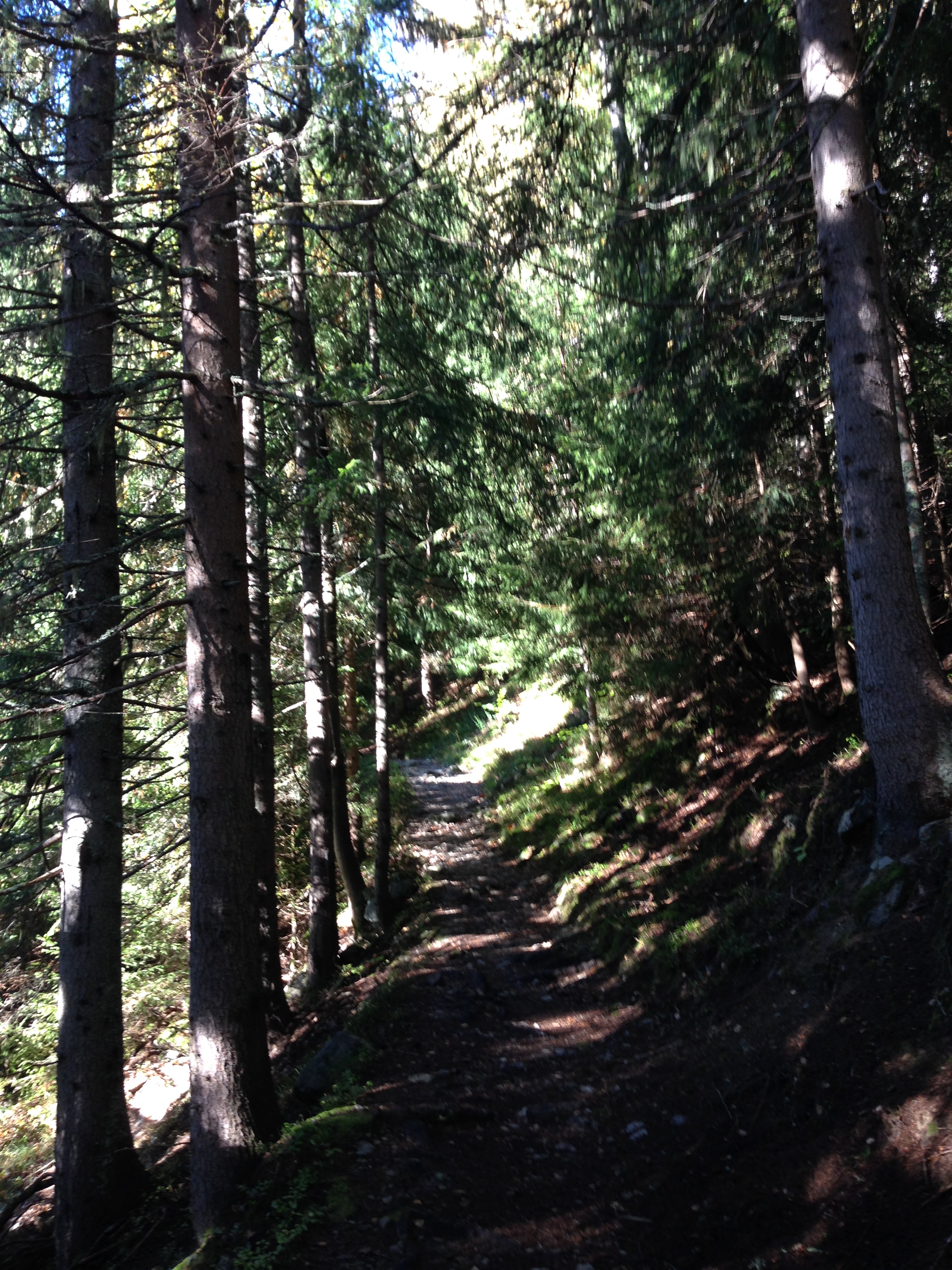
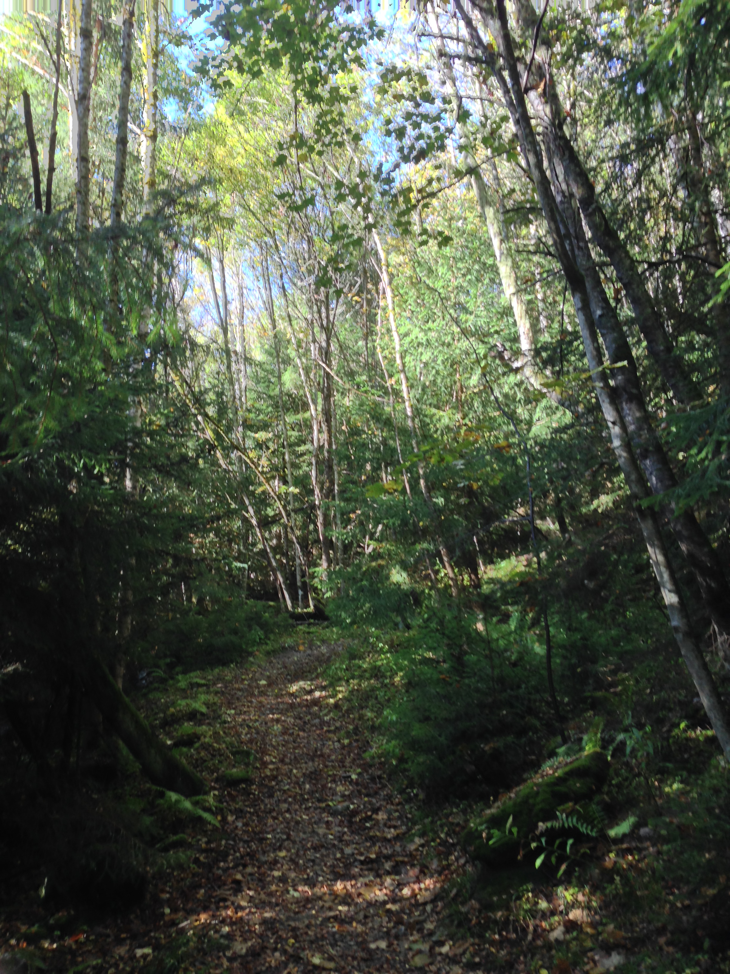
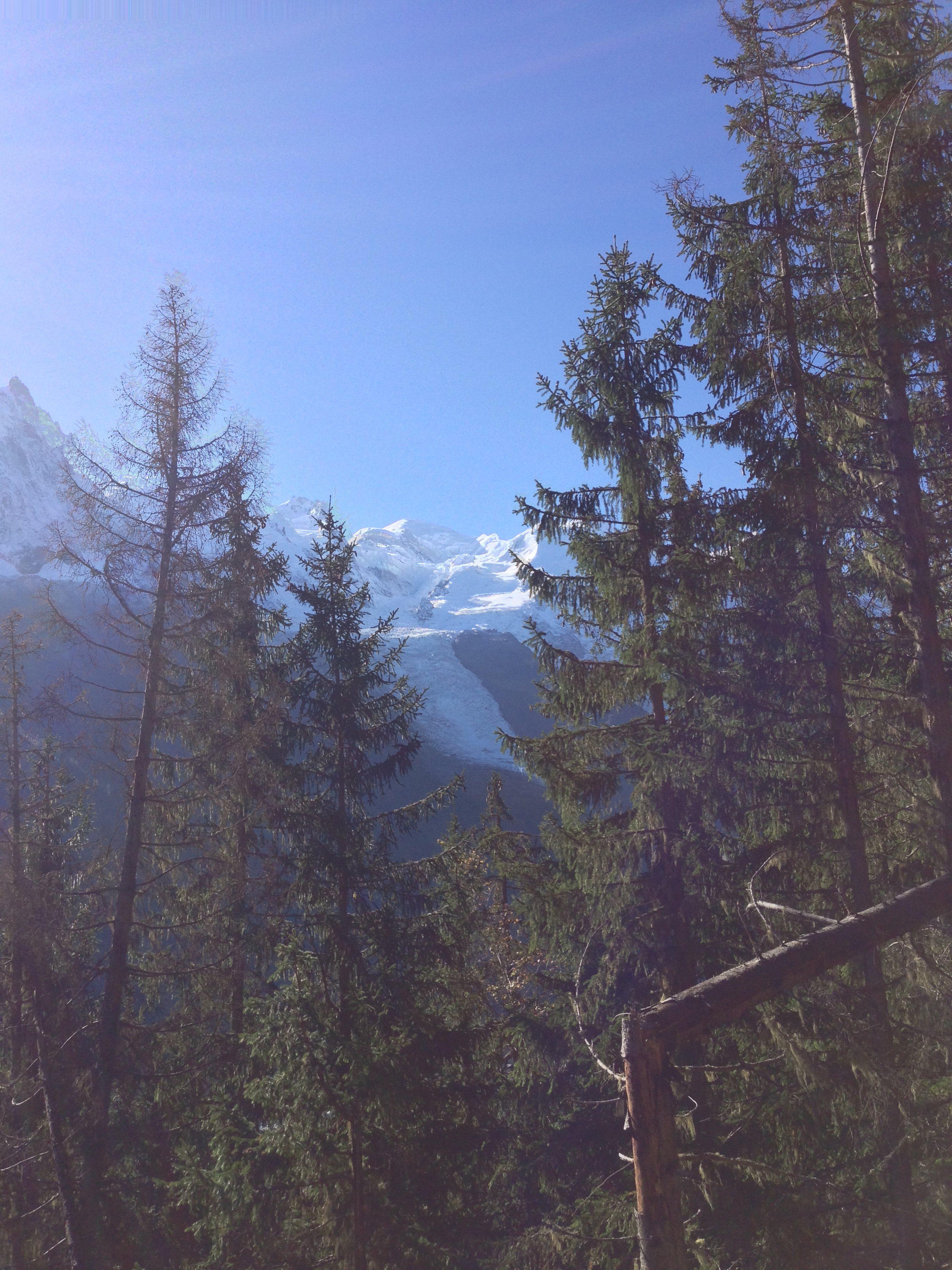
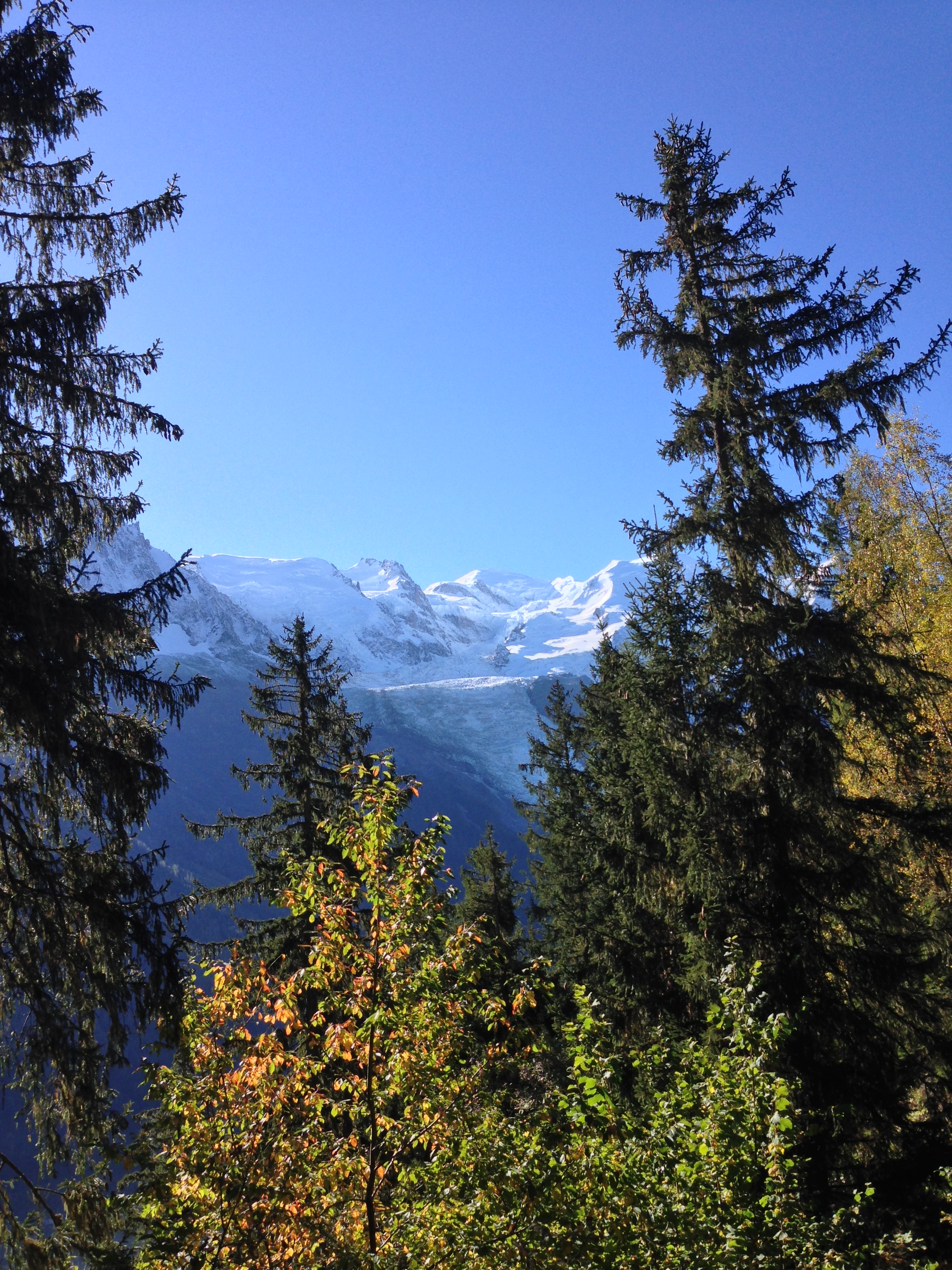
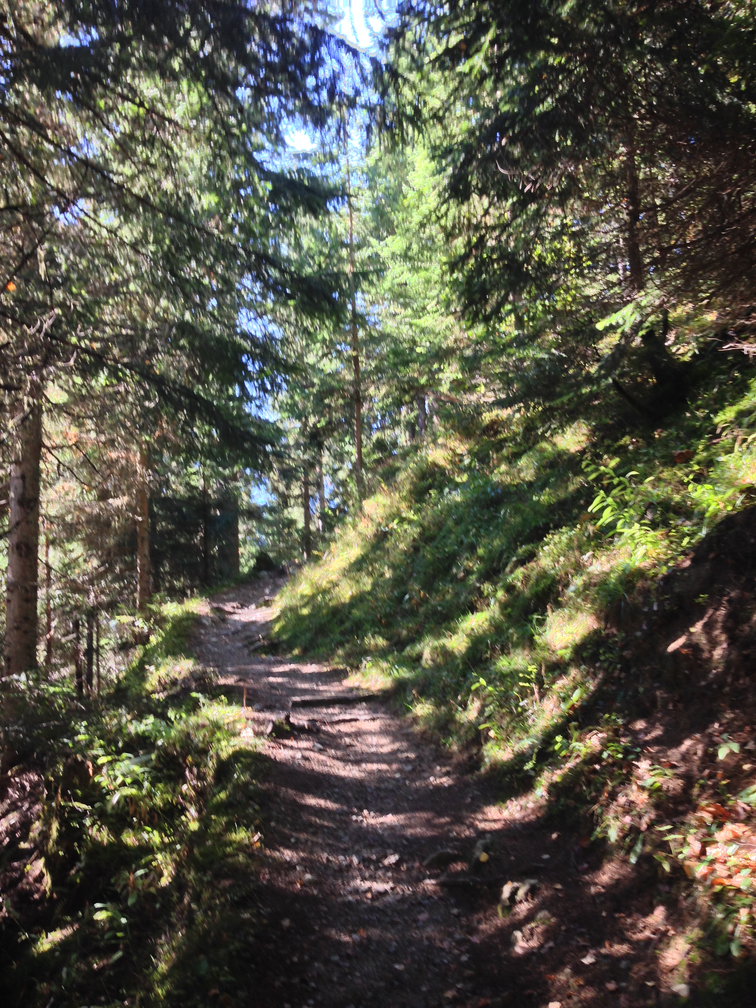
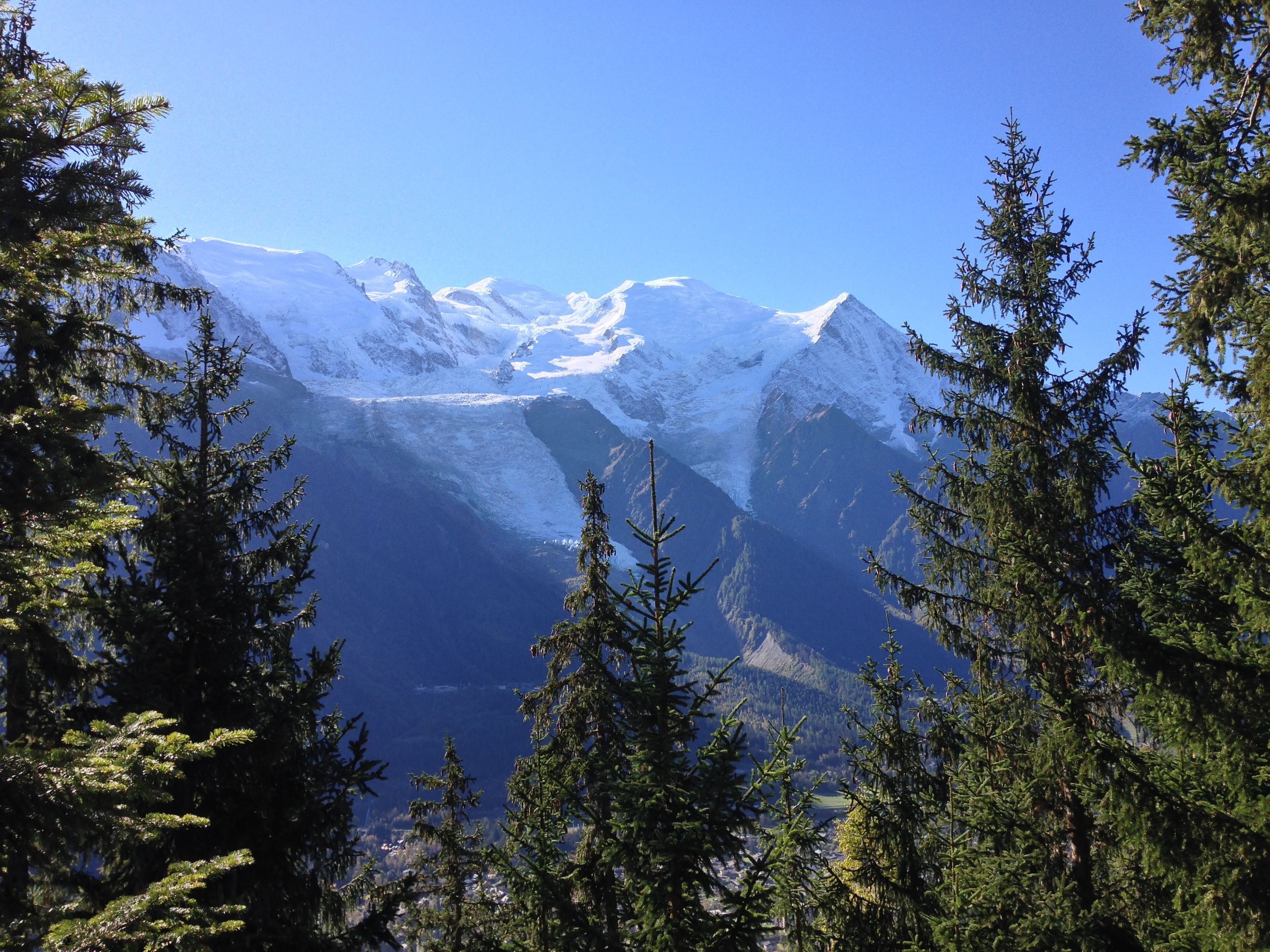
2) Hike to the Petit Balcon Sud. If you're visiting Chamonix, chances are that you want to see the mountains. One of the best ways to see great views of the mountains ringing the valley is to hike to either the Petit Balcon Sud or the Petit Balcon Nord. In my opinion, the view from the Petit Balcon Sud is superior than the view from the Balcon Nord - only because the view from the Balcon Sud provides great views of Mount Blanc and the Aiguille du Midi. From Chamonix, the trail ascends through the forest, providing grander and grander views of the surrounding mountains.
View from the Petit Balcon Sud
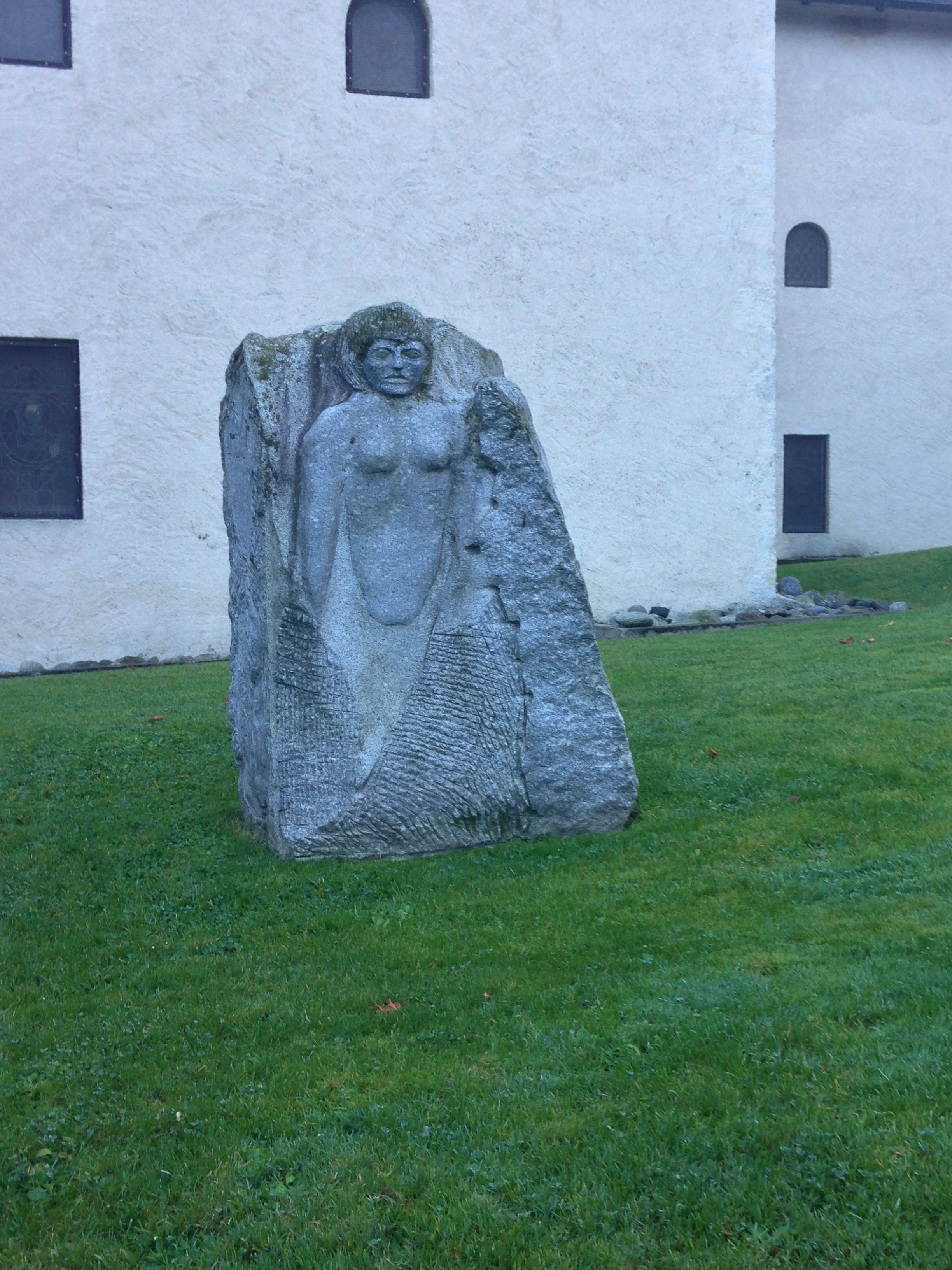
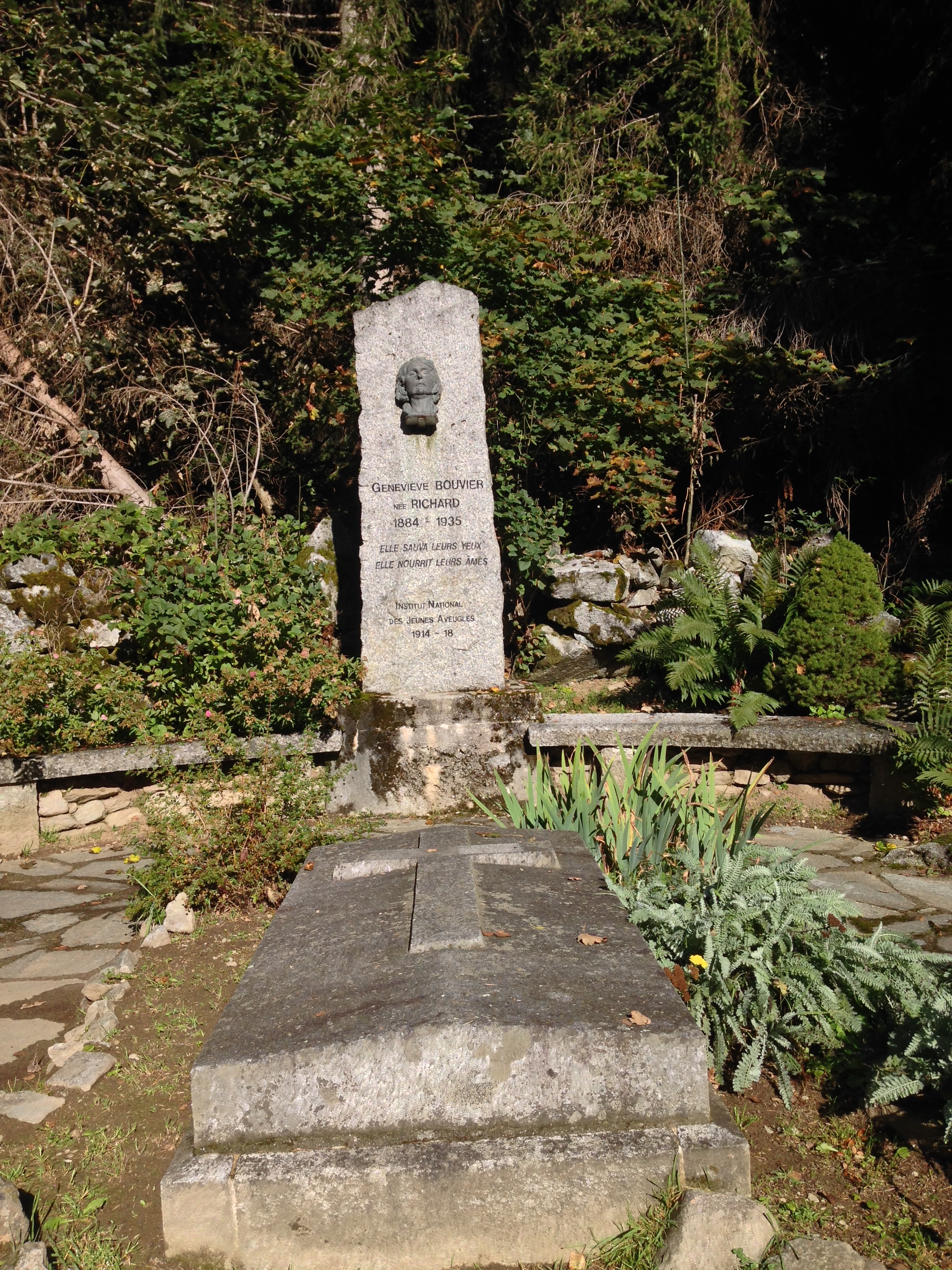
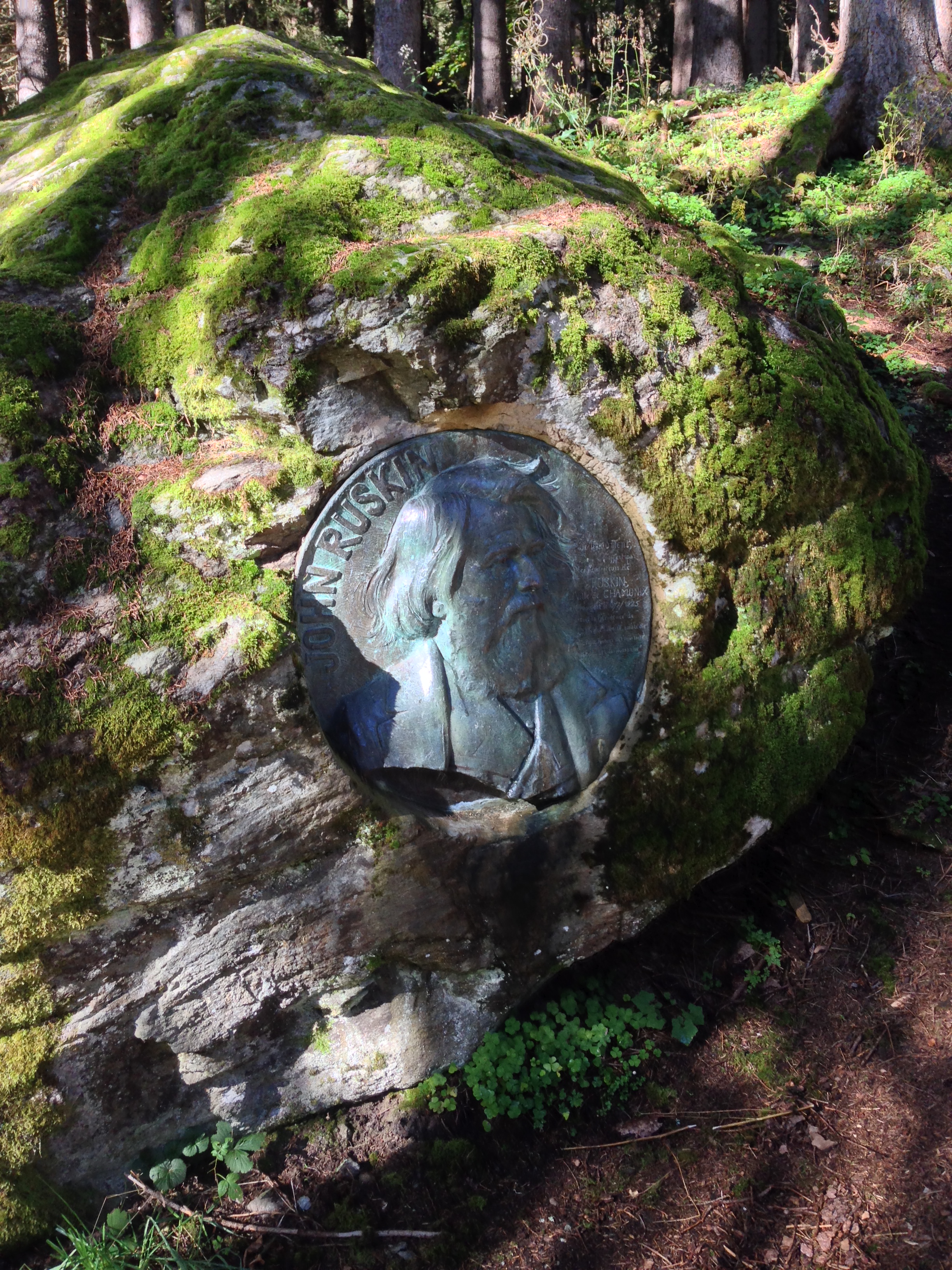
It is worth noting that the base elevation of Chamonix (the town) is around 900 meters (2,700 feet), and as the Petit Balcon Sud is at an elevation of 1250 meters (3,750 feet), this hike features an elevation gain of about a thousand feet. Despite the elevation gain, this is a manageable hike, and is a moderate hike that is suitable for most people. For individuals who like to explore, there are also two points of interest near the trailhead, relating to Genevieve Bouvier and Alan Ruskin, which are accessible by short detours, and are also very interesting.
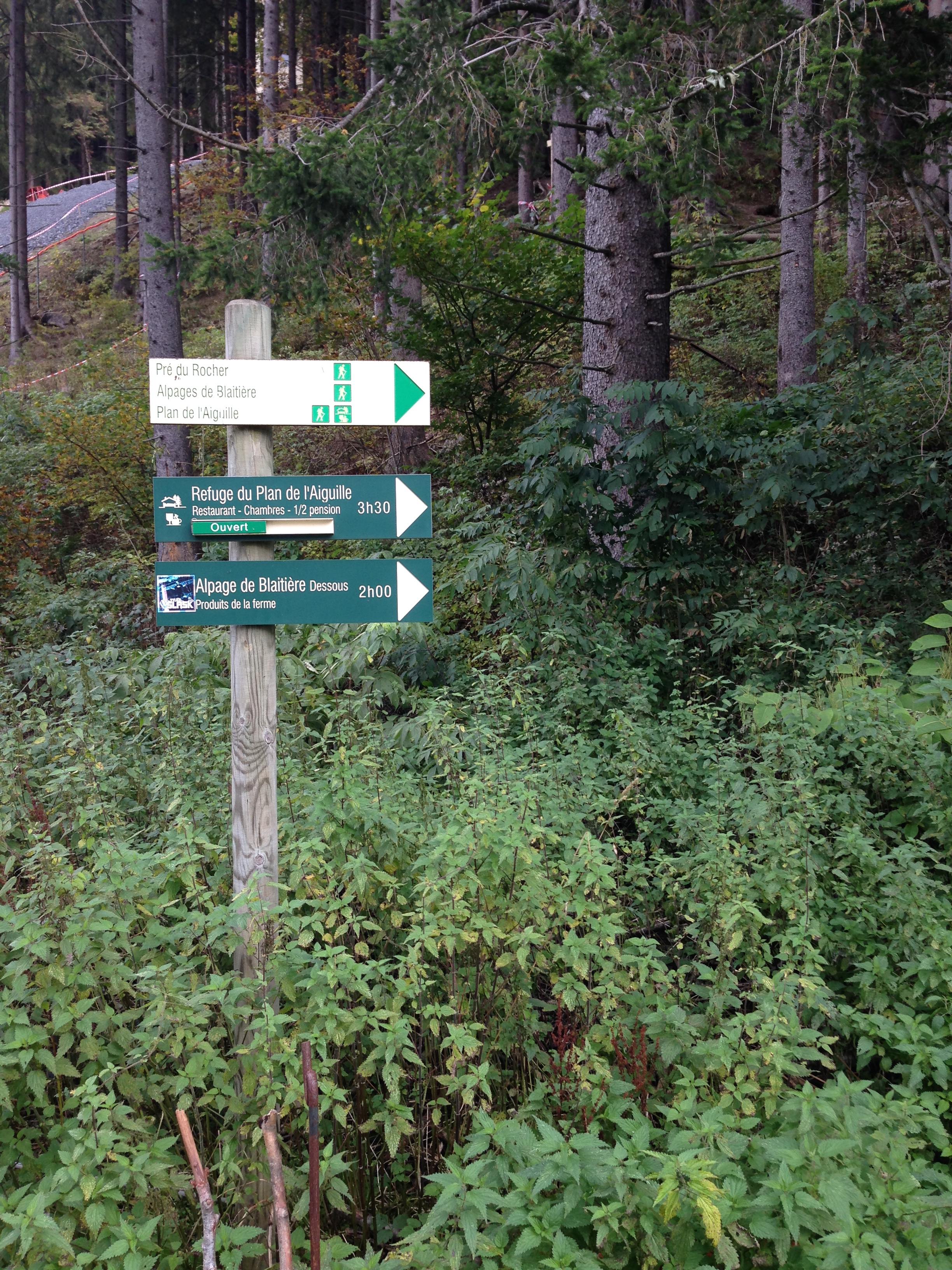
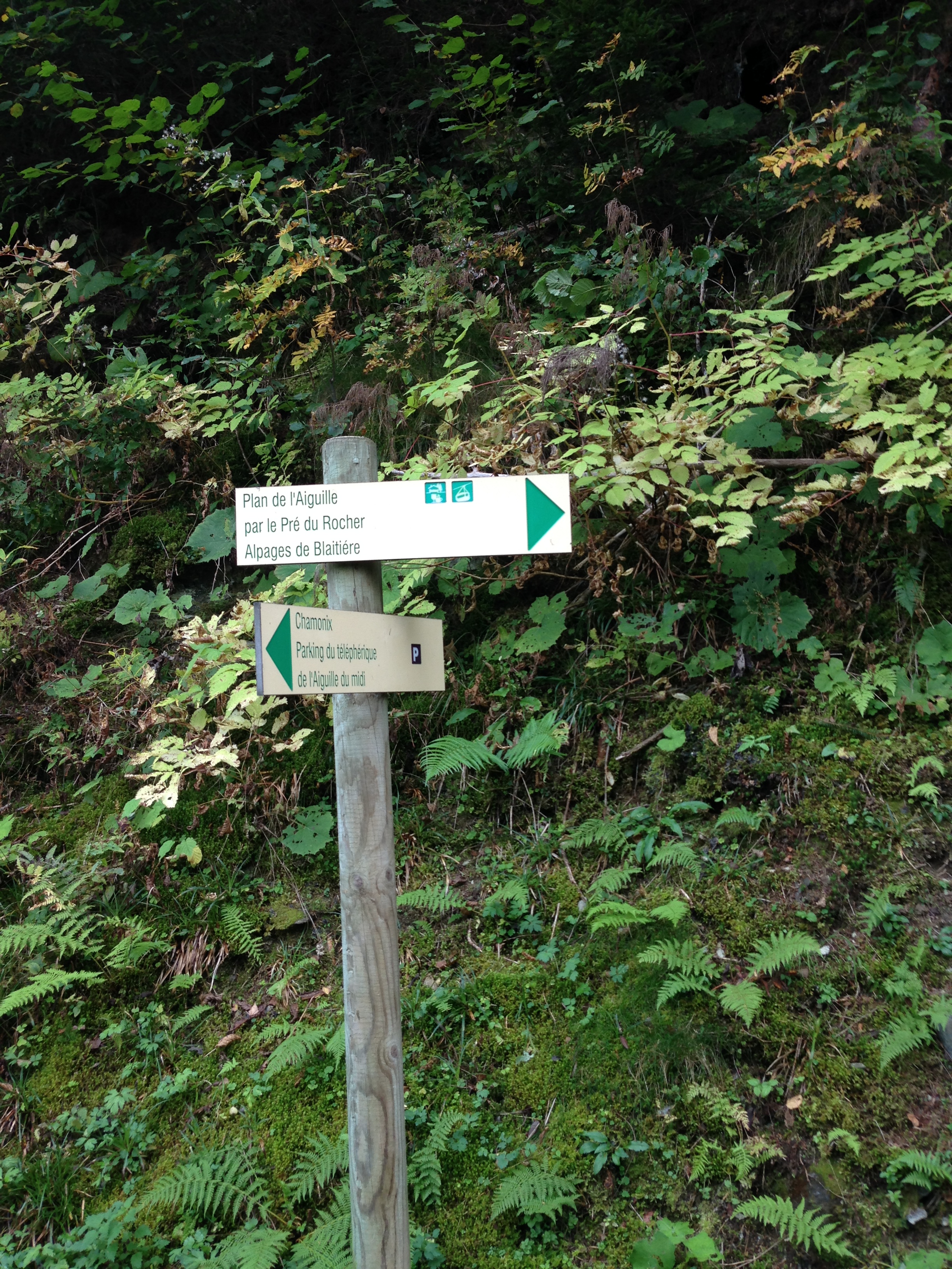
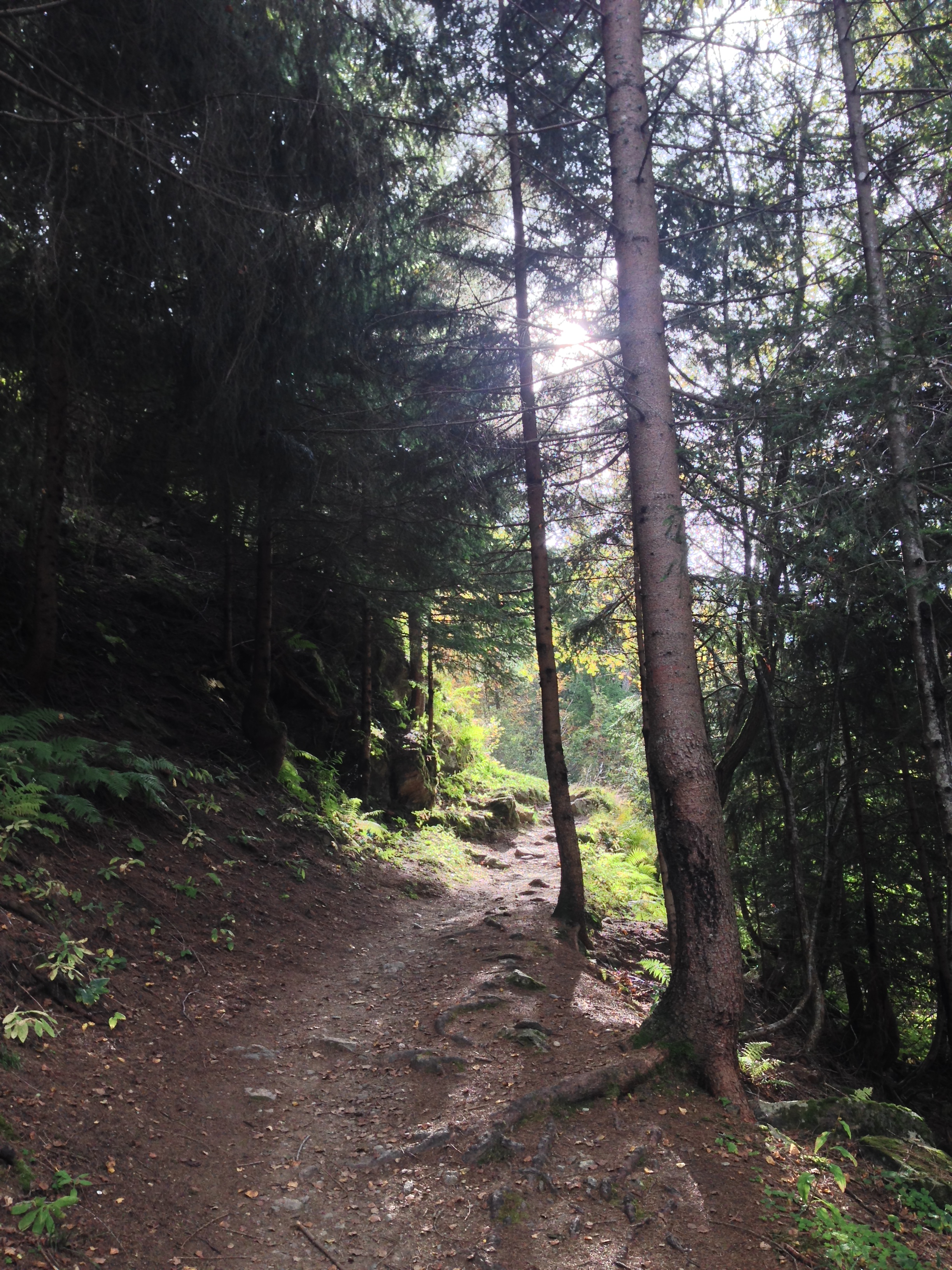
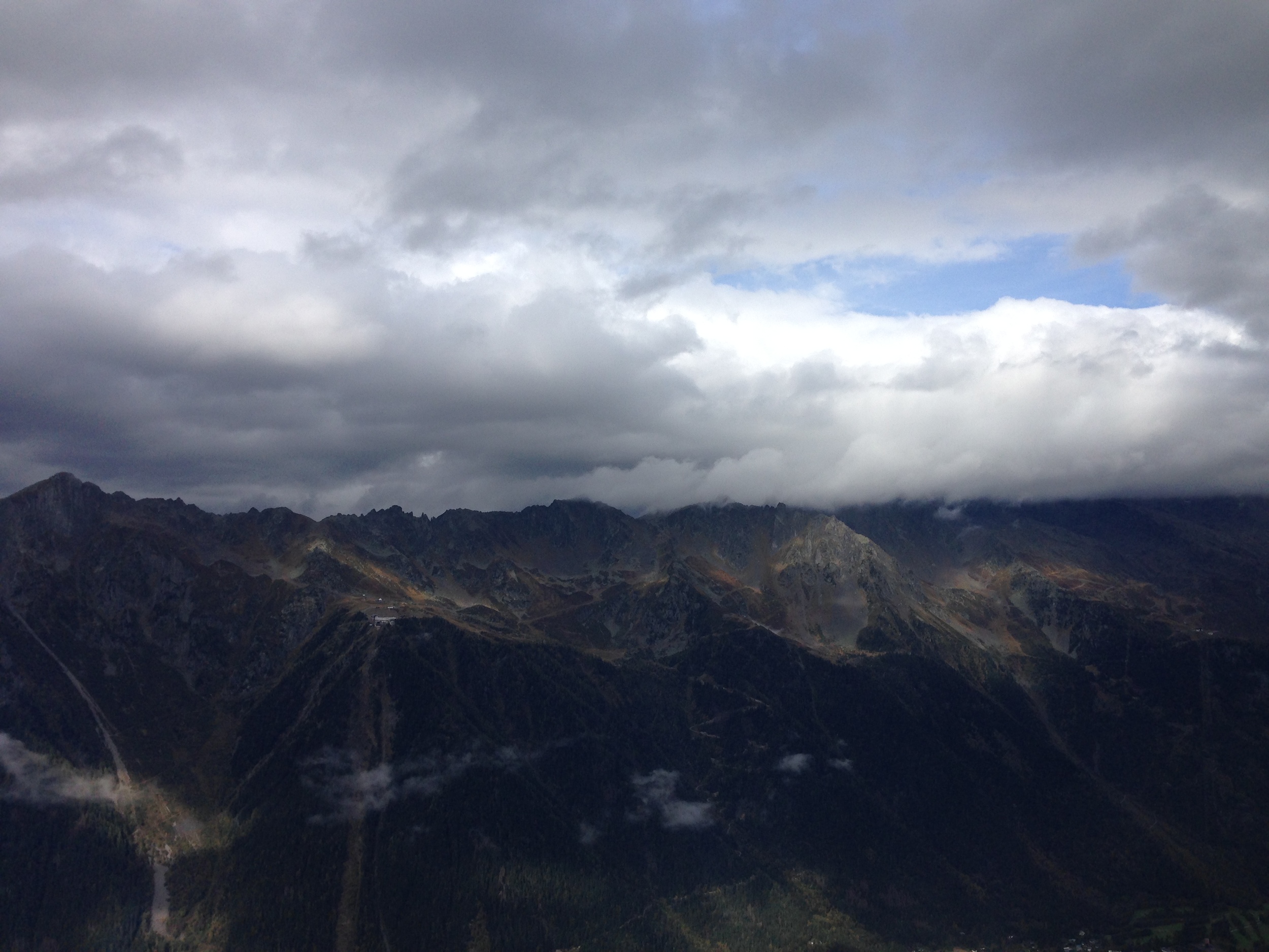
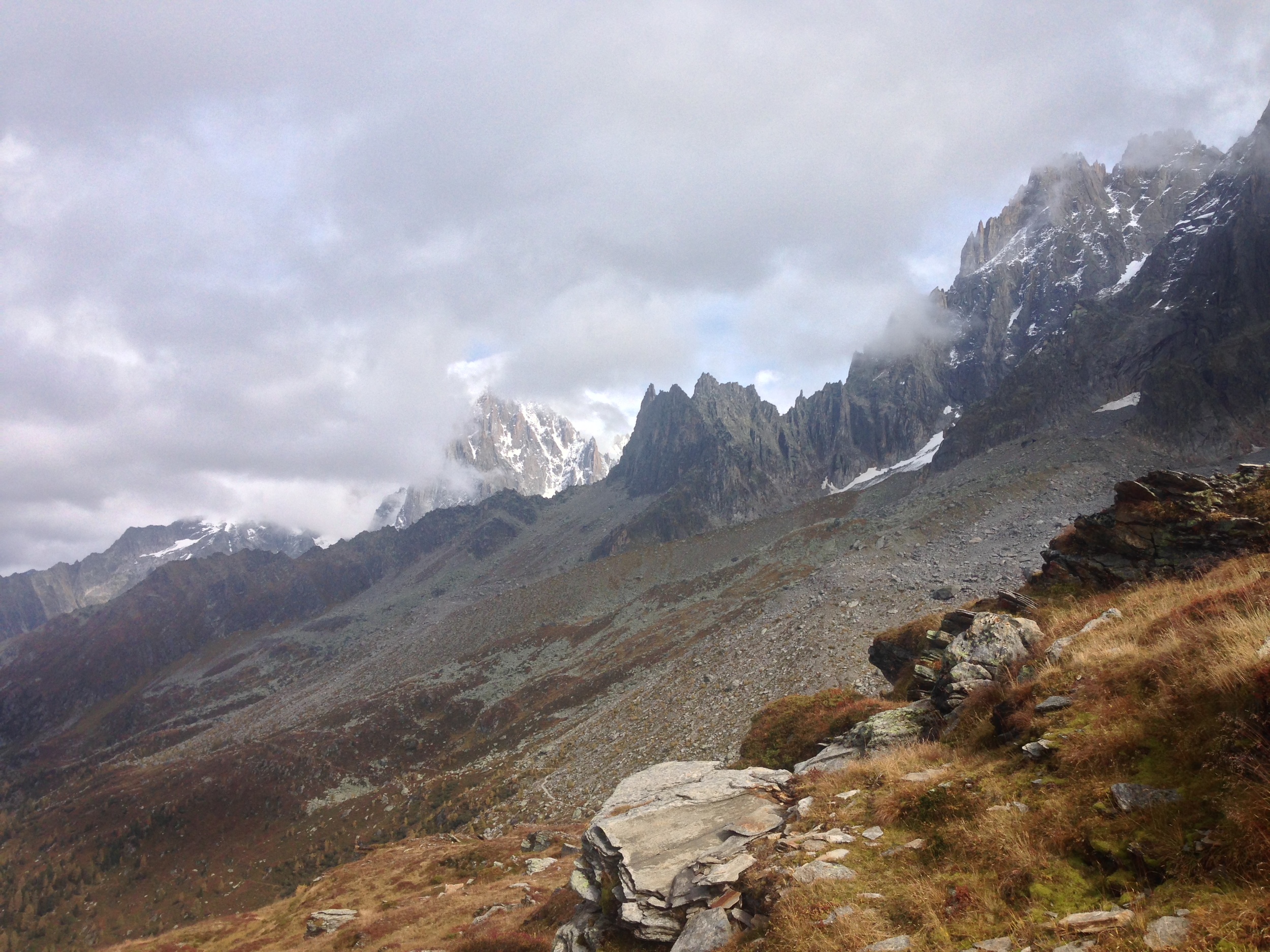
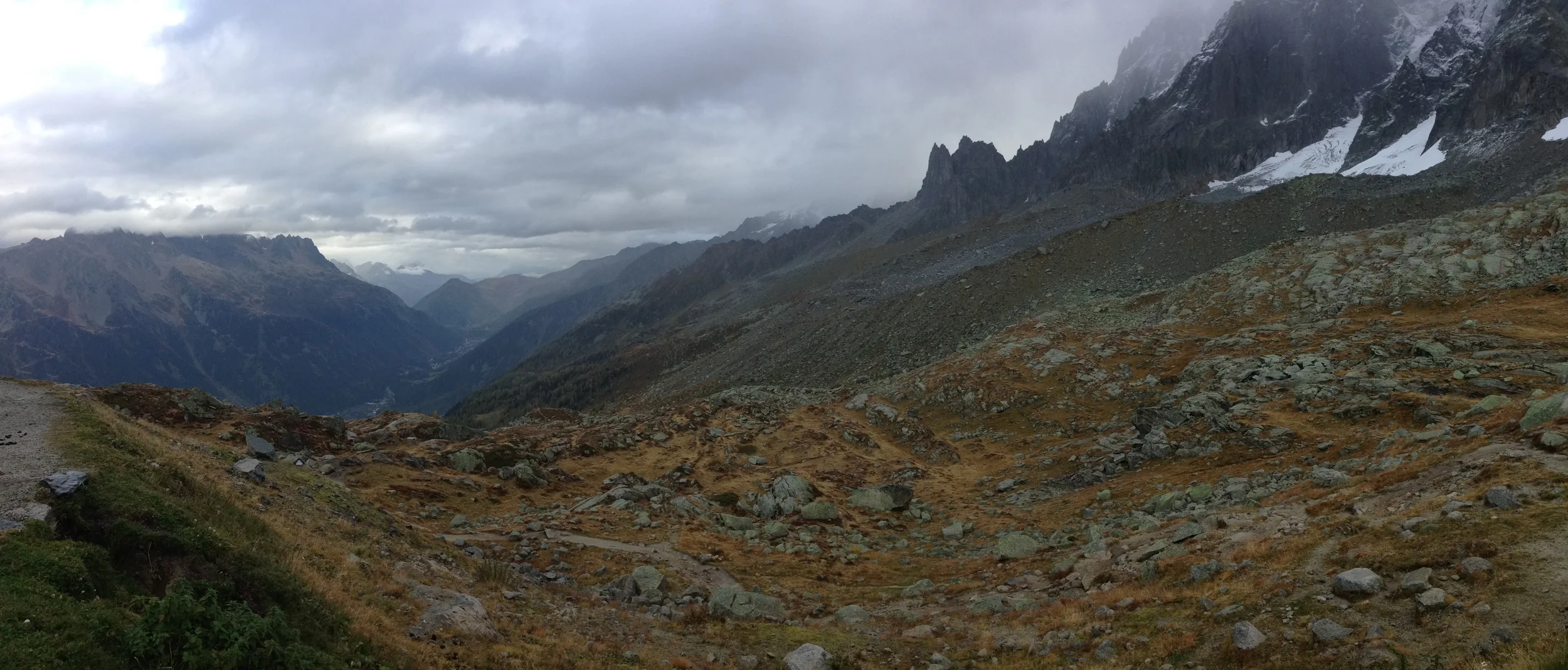
3) Hike to the Plan de l'Aguille. While the first two options can be done in a half day or less, and are easy to moderate walks, hiking to the Plan de l'Aguille is a moderate to strenuous option, depending on the type of shape one is in. The main trailhead to this hike is located directly behind the lift for the Aiguille du Midi, and is clearly marked. Like the hike to the Petit Balcon Sud, the trail ascends rapidly as it leaves the Chamonix Valley. The main difficulty in this route is the elevation gain - the trail starts at an elevation of just over 900 meters (2,700 feet), and ends at an elevation of 2,354 meters (7,062 feet; 4,362 feet of elevation gain).
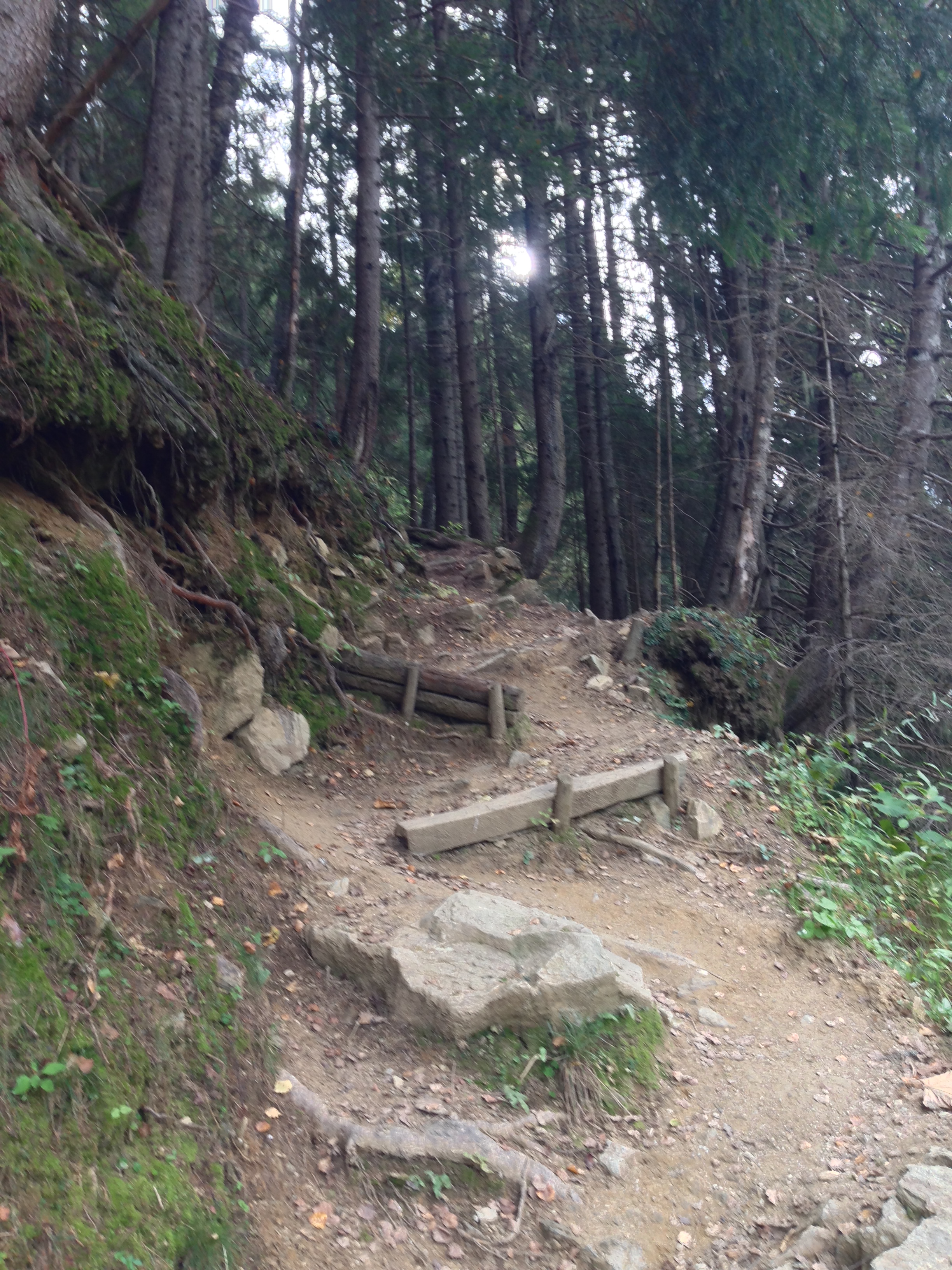
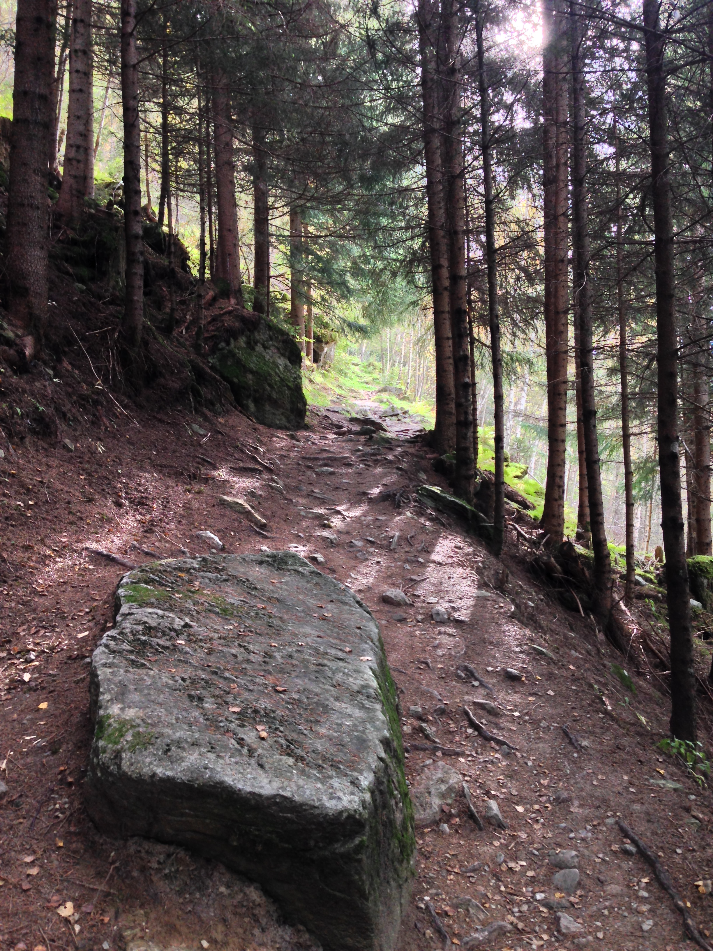
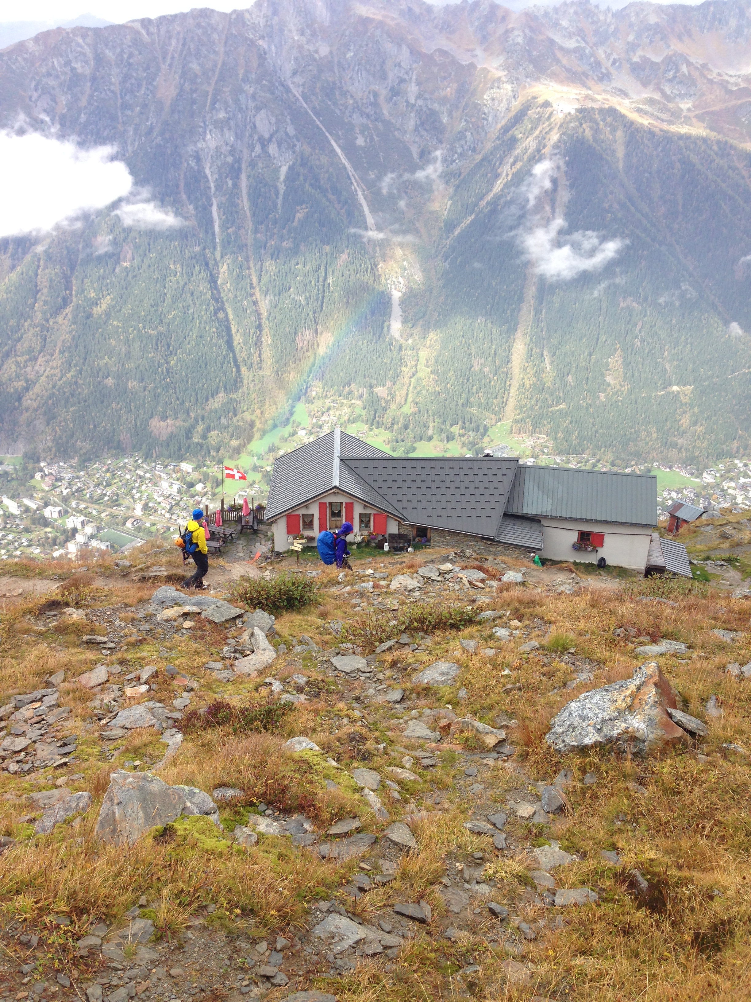
In practical terms, this means that over the 8.5 mile one-way distance, a hiker will gain 545 vertical feet per mile. Like most hikes out of the Chamonix Valley, this route is a leg-burner. However, the views do make up for the pain. The first portion of the hike passes through a beautiful forest before topping out above tree line near the end, which provides excellent unobstructed views of all of the mountains in the area. The signs in the area state that this route takes approximately 3:30 hours one way for hikers, which seems like a reasonable assumption for most people. As always, people who are sensitive to altitude or not in excellent shape may take longer; as people who are in excellent shape will take less time. While this hike will take most of the day for most people in ascending and descending the route, there are many things to like about it. First, as I noted, the great views. Second, once a hiker is atop the Plan, there are many opportunities to ascend further into the mountains for alpine terrain. Third, the Plan de l'Aguille is the midpoint for the Aiguille du Midi lift. Hikers wishing to either not hike up; or hike back can purchase a ticket and ride the lift one-way. Finally, one of the best parts of this hike is that it has a Refuge near the top which serves great food and has great views. For most day hikers, this is a great halfway point, and a great way to relax after enjoying a trek up the mountain, before returning to town later that day.