
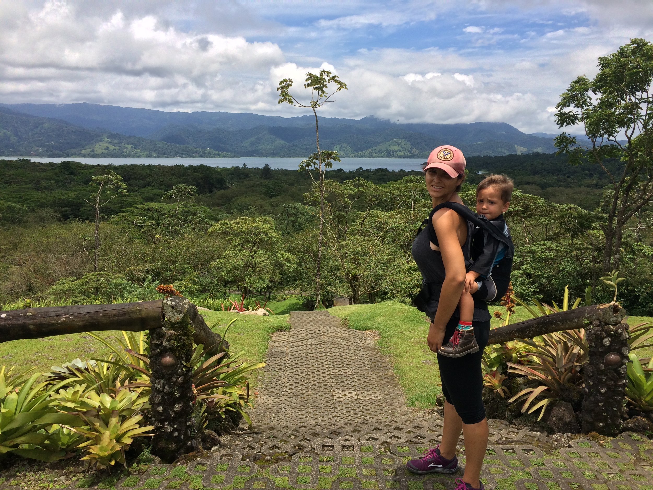
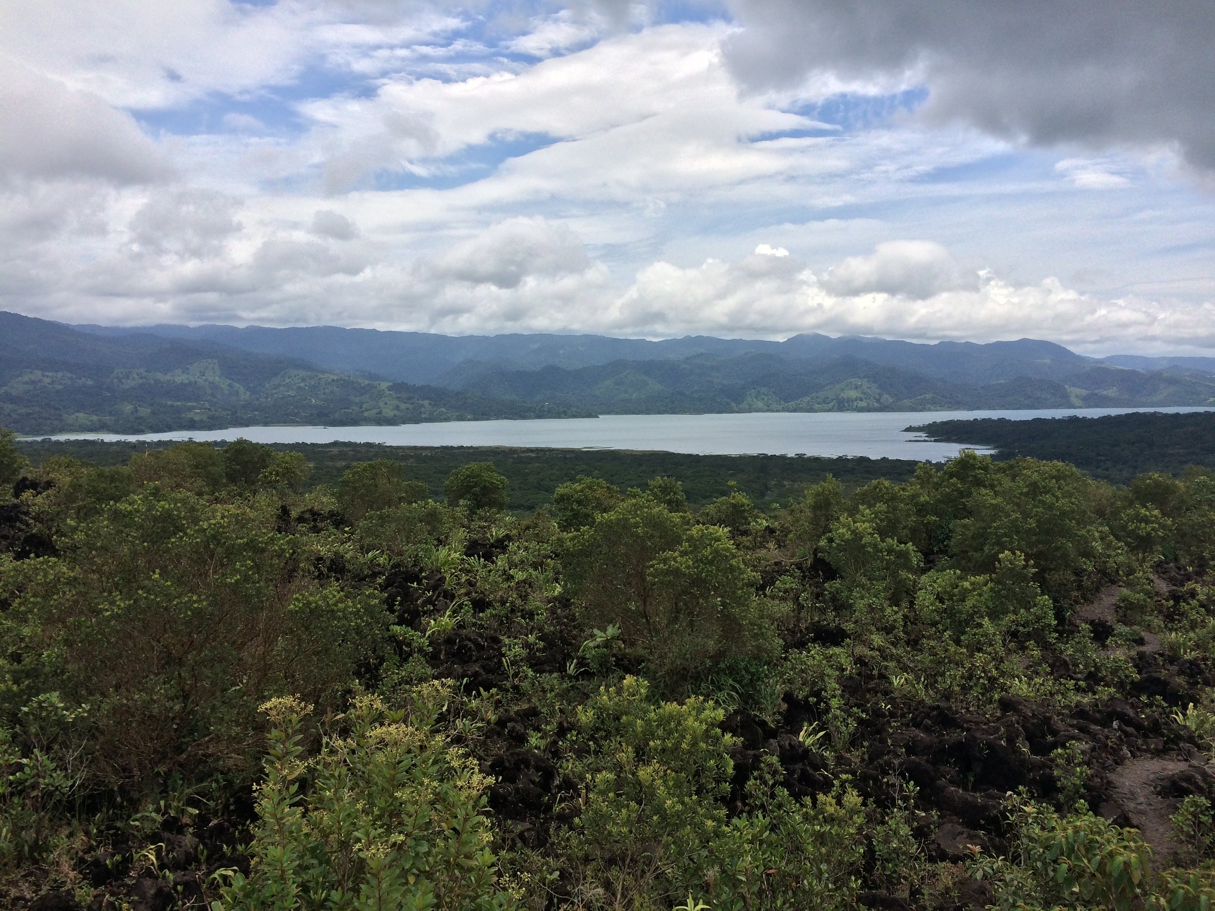
Arenal Lake, viewed from the Lava Flow Summit in Arenal 1968
While all of Costa Rica is stunning, one of the more popular regions in the country is the Arenal/La Fortuna Region. With a nearby lake, a national park, and many adventure opportunities the area truly has something for just about every adventure traveler. Without a question, however, the high point of the area is Arenal Volcano, both literally and figuratively. Although the volcano has not been active since 2010, and climbers and hikers are not allowed on its slopes, it is a must-see location in the area. One of the best locations with unobstructed views of the volcano is also one of the area’s historic sites, the trails at Arenal 1968.
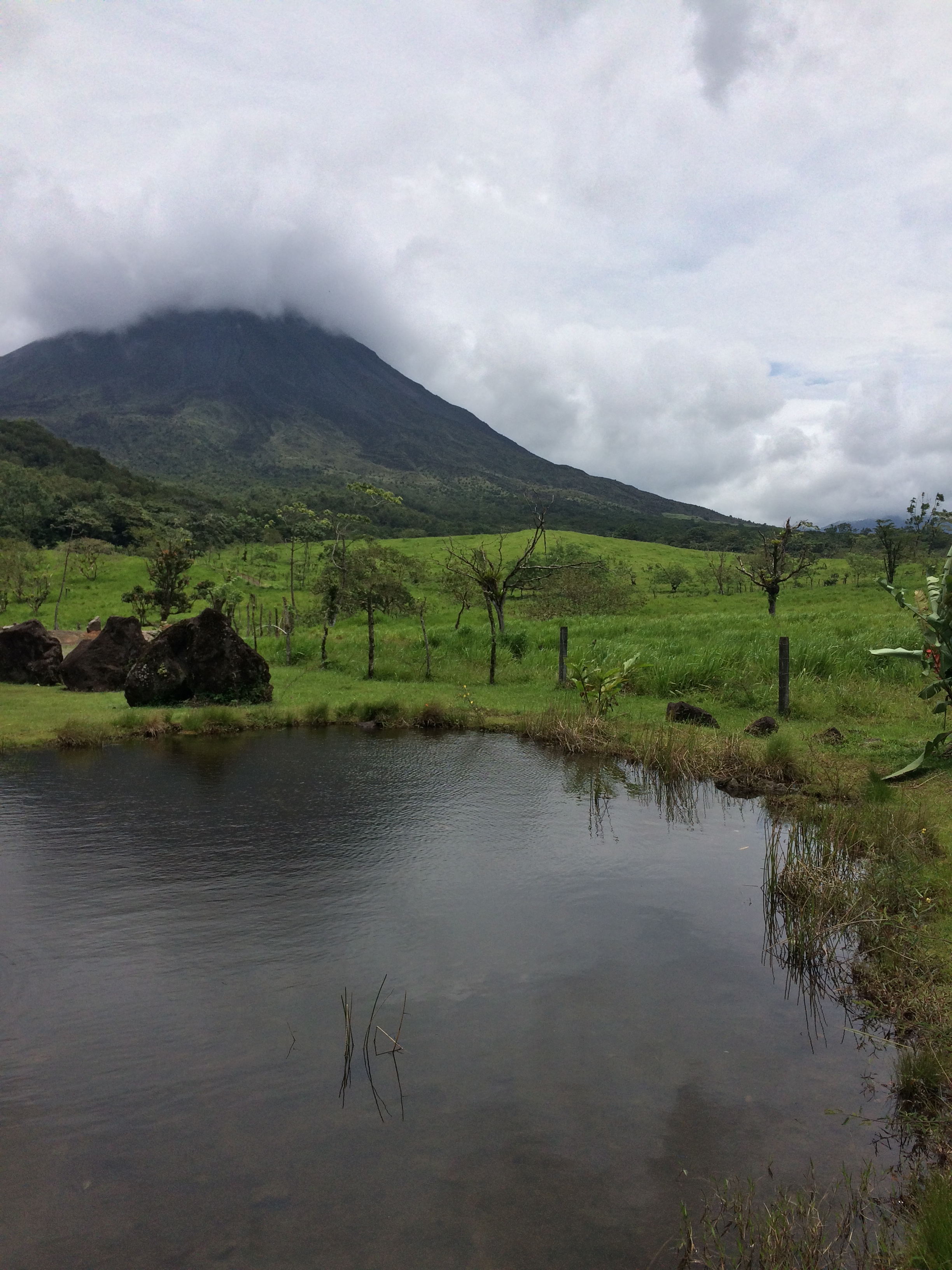
Arenal Volcano, Arenal 1968
On July 29, 1968, the Arenal Volcano erupted suddenly (prior to this point, it had been considered dormant/extinct), and as a result of the multi-day eruption, fifteen square kilometers adjacent to the volcano were covered in ash, lava, and other volcanic debris. In the forty-eight year period, the tropical climate and jungle have reclaimed much of the debris flows with lush vegetation; however, in many locations the volcanic rocks remain, and are visible to the naked eye. The best place to view the remnants of the eruption, along with the now solid lava flows that occurred is Arenal 1968, which is a private inholding next to Arenal Volcano National Park that allows visitors to walk through pristine natural conditions on two trails.


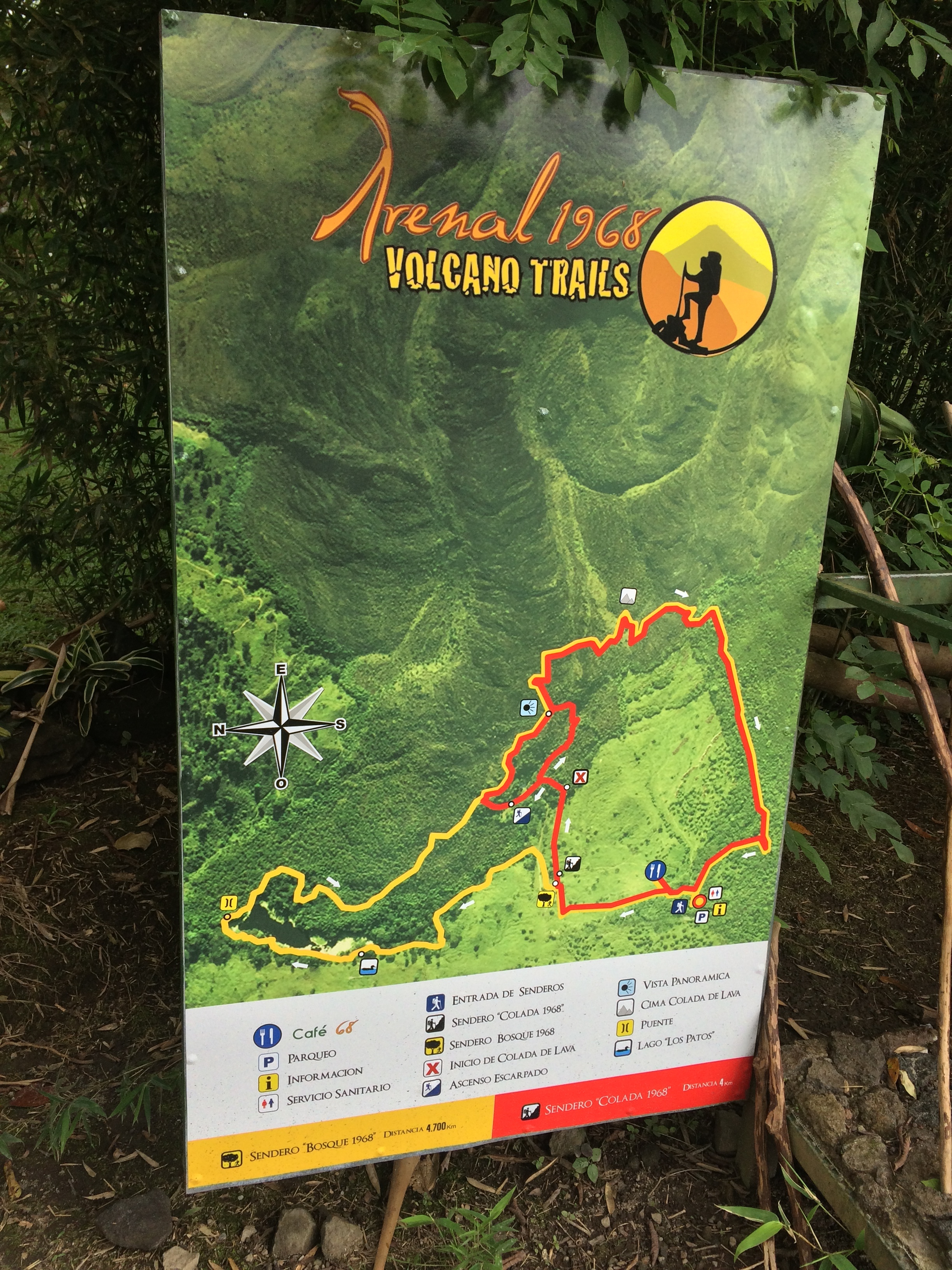
Directions/Fees: From La Fortuna, which is the closest town, the Arenal 1968 park is sixteen kilometers to the west on Route (Highway 142). Upon leaving La Fortuna, visitors should set their odometer to zero, and follow Route 142 west for 13.3 kilometers (8.26 miles). At 13.3 kilometers, there will be a marked left turn on “La Fortuna – El Castillo” to the South onto a dirt road. There will also be signs indicating that this left (South) turn leads into Arenal Volcano National Park, and the Arenal Observatory. From the turn, the road is a graded dirt/gravel mix, and is generally passable by all vehicles. From the junction, Arenal 1968 is 2.7 kilometers to the South, and is very visible at the sixteen kilometer mark, as there are a number of large signs which stand out in the jungle where it is located. As of 2016, there is a $12.00 (USD) fee per person to enter the park.
The ascent up to the Lava Flow Summit, Arenal 1968
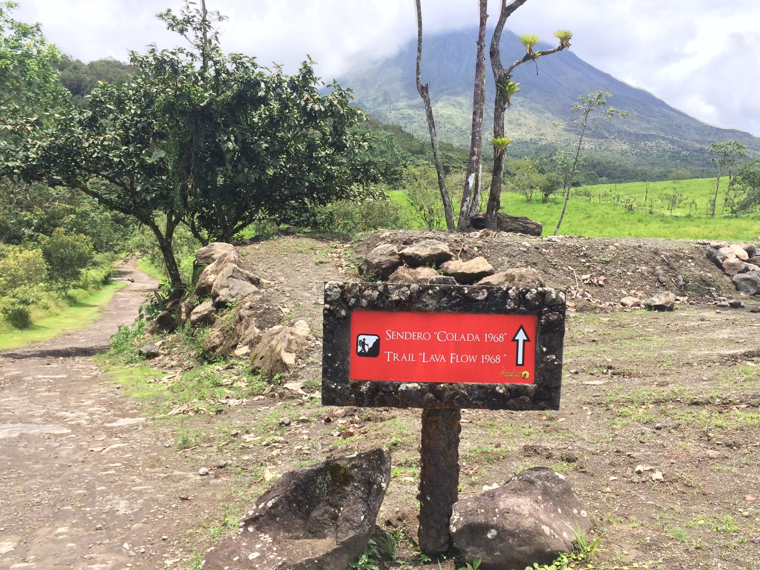
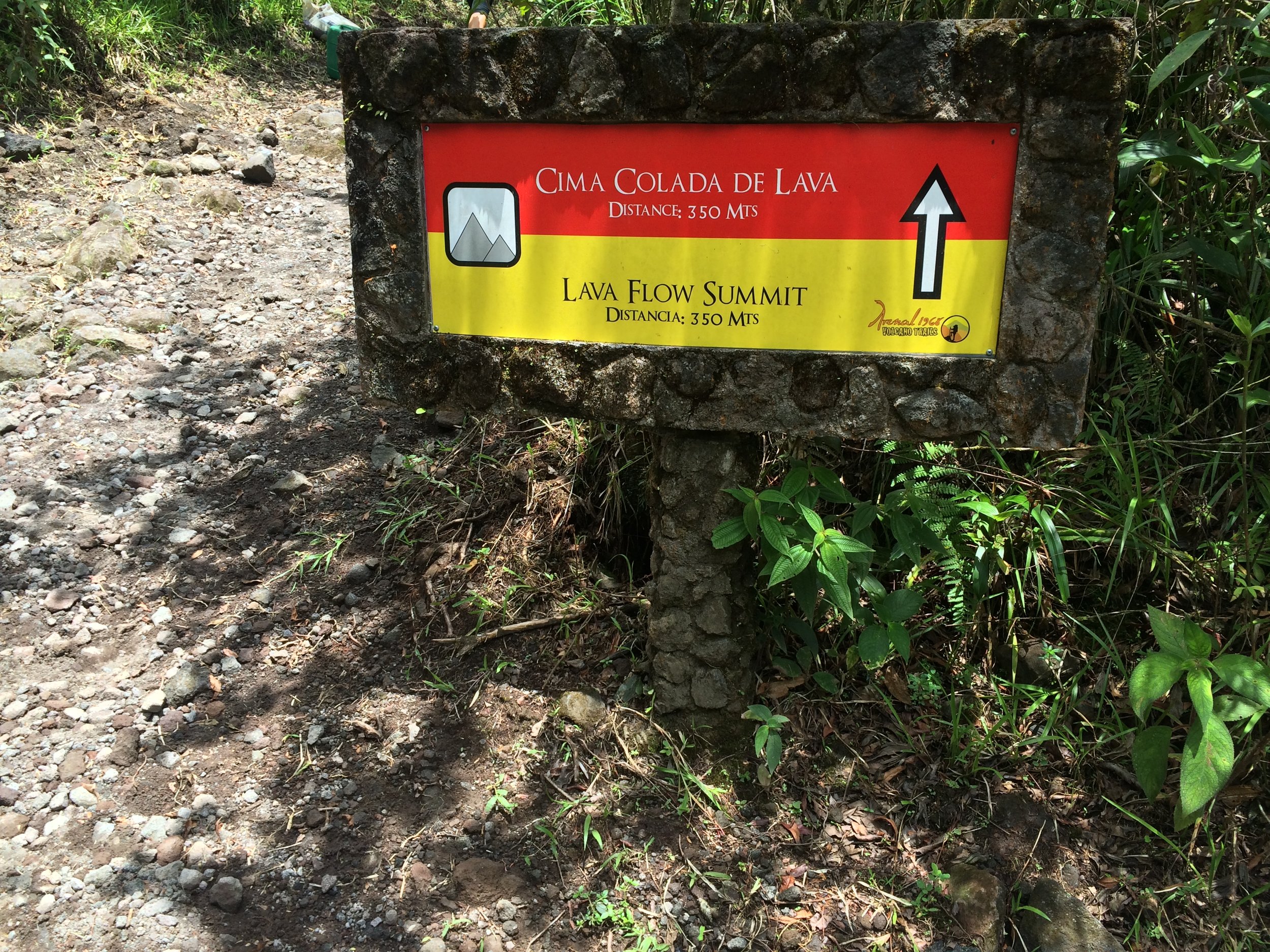
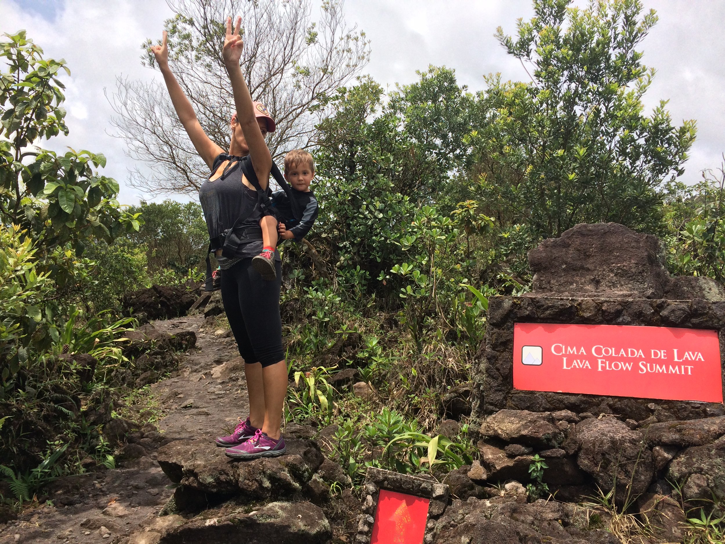
From the parking area, there are two trail options: the Sendero Bosque 1968 loop, which encompasses the entirety of the park in a 4.7 kilometer loop (almost 3 miles), or the Sendero Colada 1968 trail, which only heads up the wash to the lava flow in a 4 kilometer loop (2.4 miles), and is technically part of the Sendero Bosque loop. Both of these trails are very well marked by the park with signs that are in both English and Spanish, and in case that wasn’t enough, both trails are color coded on the signs – Yellow for the Sendero Bosque Loop, Red for the Sendero Colada Trail. In my opinion, if you are visiting Arenal 1968, one should do the whole loop, which at 4.7 kilometers is not that much of a challenge. Having said that, if one has time constraints, or for whatever reason, does not feel like hiking the entirety of the park, the Sendero Bosque loop is the easier of the two trails, and does arrive at the spot one wants to see – the Lava Flow Summit.
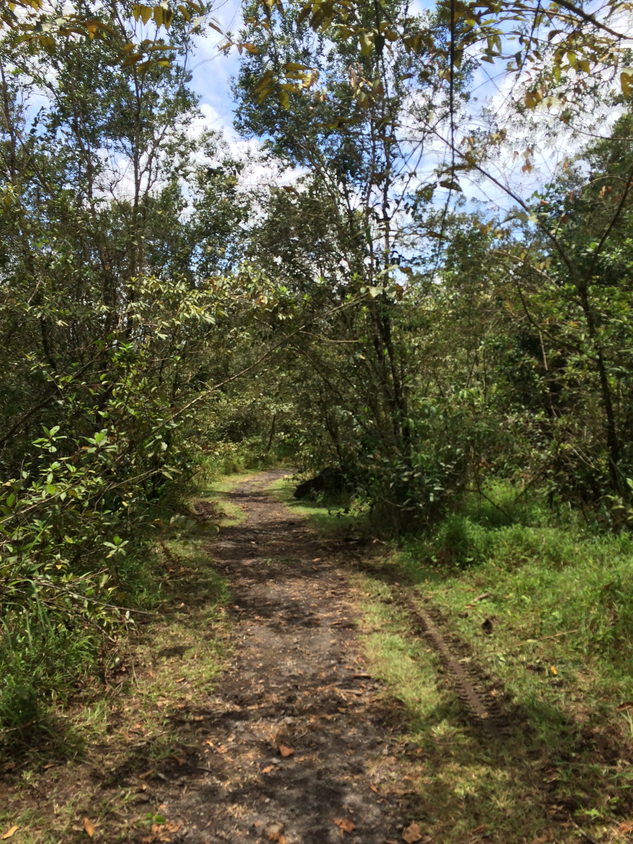
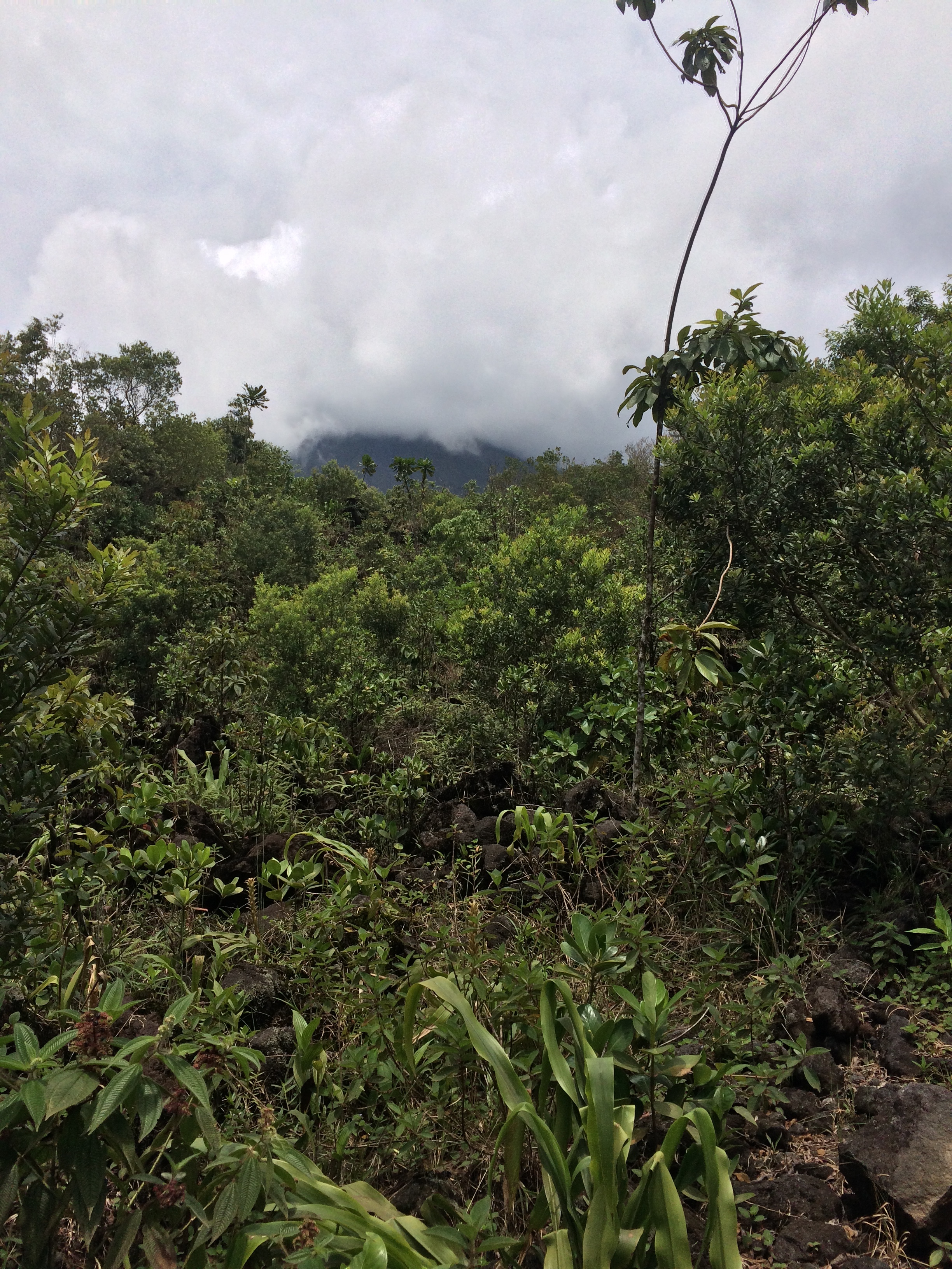
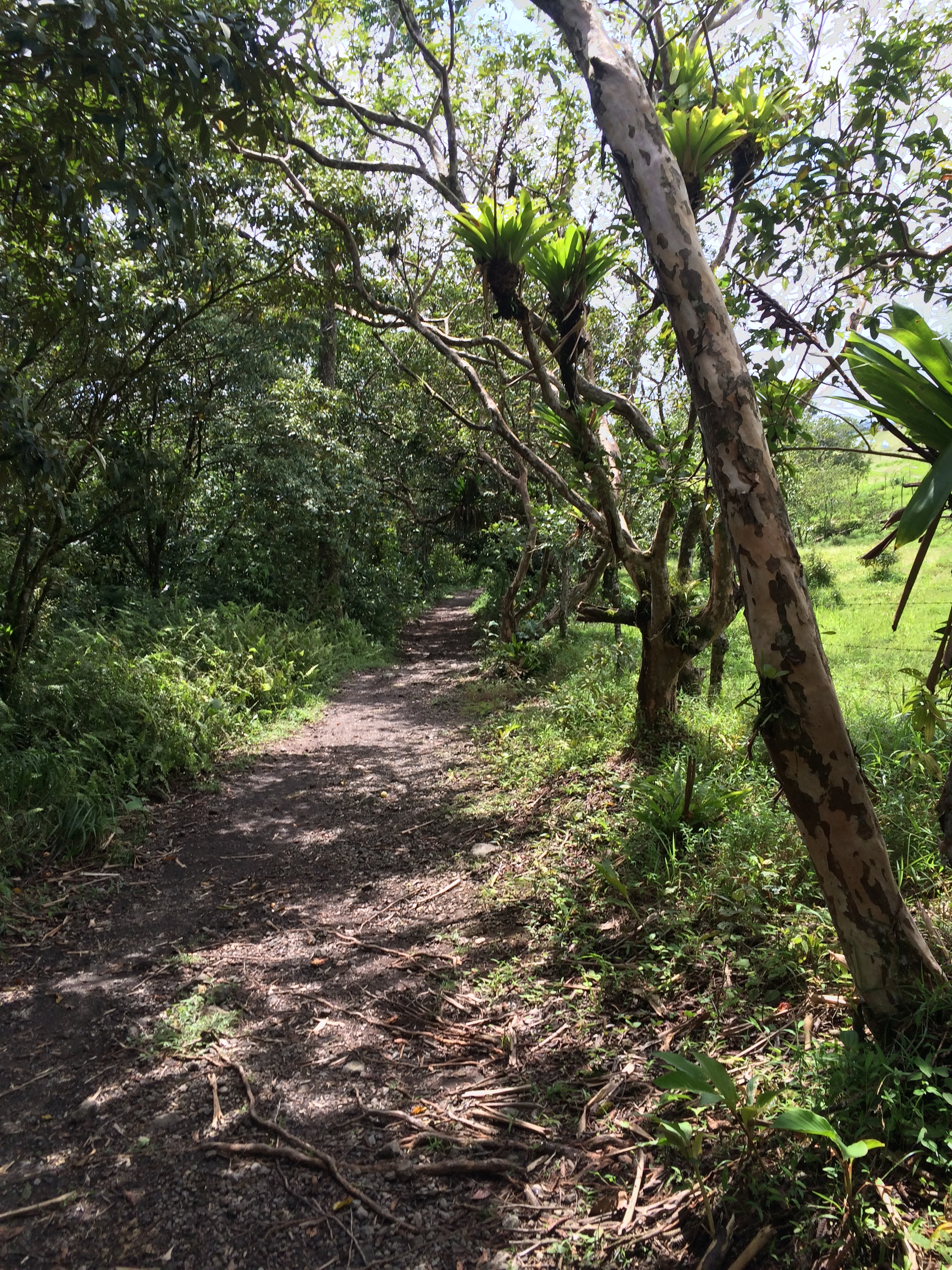
Overall, both trails are quite level, and both have early sweeping views of the volcano from a distance across relatively flat terrain. As the trails head toward the volcano and the Lava Flow Summit, they narrow from fire access roads to single track through the volcanic rock and new growth forest. The elevation gain on the trails is minimal, but because of the tropical, humid climate in this area, any ascent feels more difficult than it actually is. Most of the elevation gain is located around the Lava Flow Summit, which for the most part, is exposed, and does not have as much growth as the surrounding areas. The payoff of hiking through all of the lava and volcanic rock is an outcrop that, on clear days has spectacular views of the volcano, and has great views of the Arenal region – and Arenal Lake every day. From the Lava Flow Summit, one will either continue on to complete the entire park loop, or back along the shorter Bosque loop. Either way, both trails start and end at the parking area at the trailhead. Although technically not in the National Park, Arenal 1968 provides a great, well-preserved area that could easily be part of the park, and is a great alternative to hiking in the National Park while still seeing the highlights of the Arenal region.
Tips: Arenal 1968 also has a restaurant almost at the trailhead which has an elevated view of the trails, the volcano, and the lava flows. Visitors who don’t wish to hike whatsoever, but want to visit the park can sit here and enjoy a cold drink for as long as they want. Finally, while neither of the two hikes in the park is especially strenuous, visitors to the park should be prepared for Costa Rica’s tropical climate, and have plenty of water, insect repellant, and depending on the season, raingear in order to complete the hikes safely. Finally, visitors should also be aware that because of the terrain and climate of the Arenal region, the top of the volcano is regularly obscured by clouds and not entirely visible on a regular basis.