
I’ve said it before, and I’ll say it again: my favorite thing to do in Las Vegas isn’t found on the strip; or anywhere in the city proper. My favorite thing about Las Vegas is Red Rock Canyon National Conservation Area. Or, as everyone calls it “Red Rock”. This is an area with tons of hiking trails, biking, climbing, geology, and archeological history that can keep just about anyone busy. As a matter of fact the only bad thing I can say about Red Rock Canyon is that unlike twenty years ago, everyone knows where it is, and how to get to it. The increased visitor use isn’t all bad – the BLM has outfitted Red Rock with a snazzy interpretive visitor center; and has done a better job at protecting the features present in the park. Each time I go to Red Rock Canyon, I try and branch out to new areas of the park, because even though there are more people present in the park, there’s still plenty of solitude to be found.
This last January when I had to be in Las Vegas, I decided to stop by Red Rock Canyon for a little hike. Even though I had received some great suggestions from TimMiner and Julia+Southwest on Twitter for some new adventures, I ended up having some unexpected time constraints. I was left to find a short hike in the park that I hadn’t already done – which turned out to be more challenging than the hike itself. On a whim, I decided to check out the Calico Tanks hike, and as always, I was blown away by the adventure that I found in a short distance.
Directions/Fees: Red Rock Canyon NCA is located directly off of Highway 159, and is approximately a half hour drive to the North from downtown Las Vegas. In 2014, the BLM charges all passenger vehicles a $7.00 entrance fee; which is good for one day or use. From the park entrance, you will want to follow the Red Rock Canyon Scenic Drive to the Sandstone Quarry parking area/trailheads; this area is located 3.4 miles from the entrance station, and is well-signed. Do note that on weekends, the parking area at this and other areas in the Calico Tanks region are quite popular, and may be full.
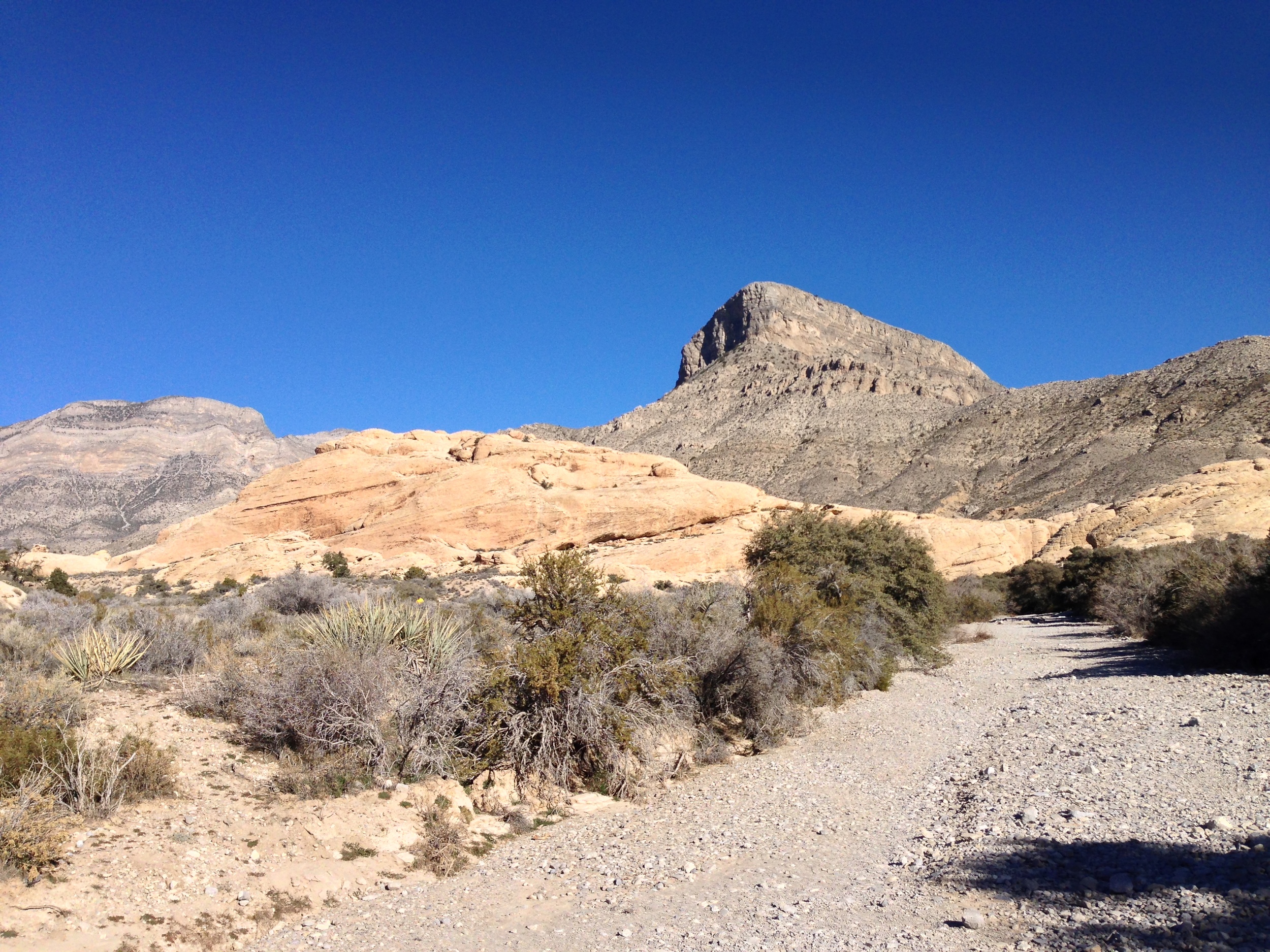
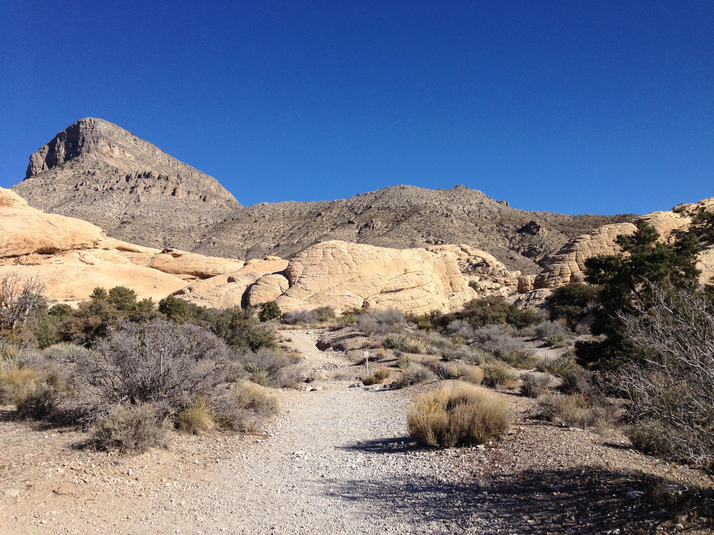
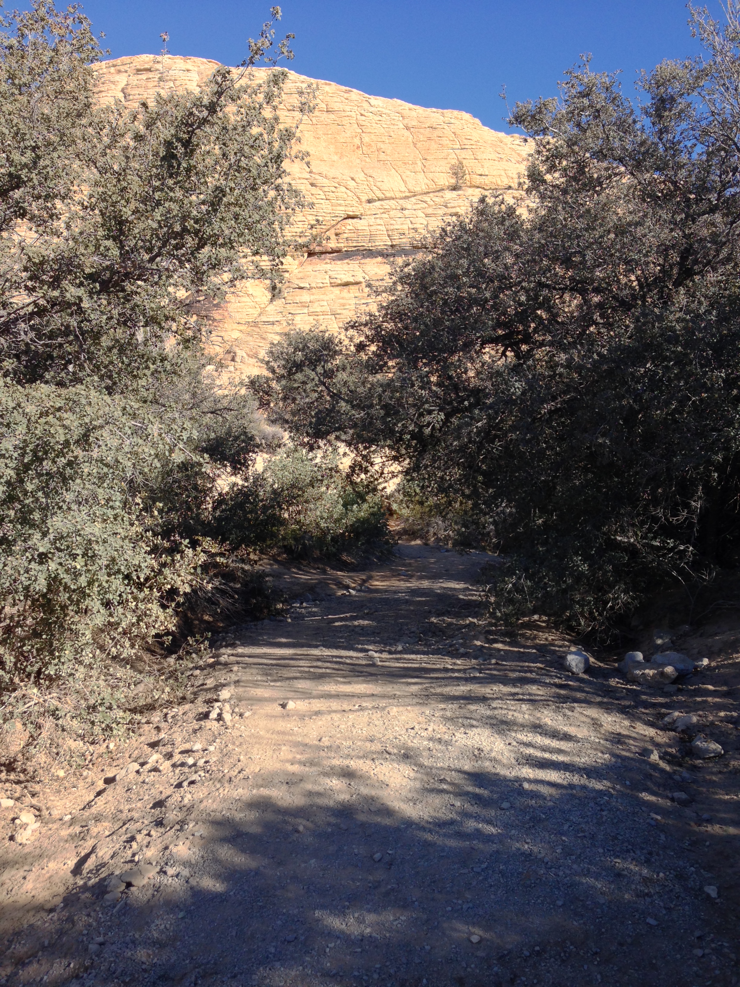
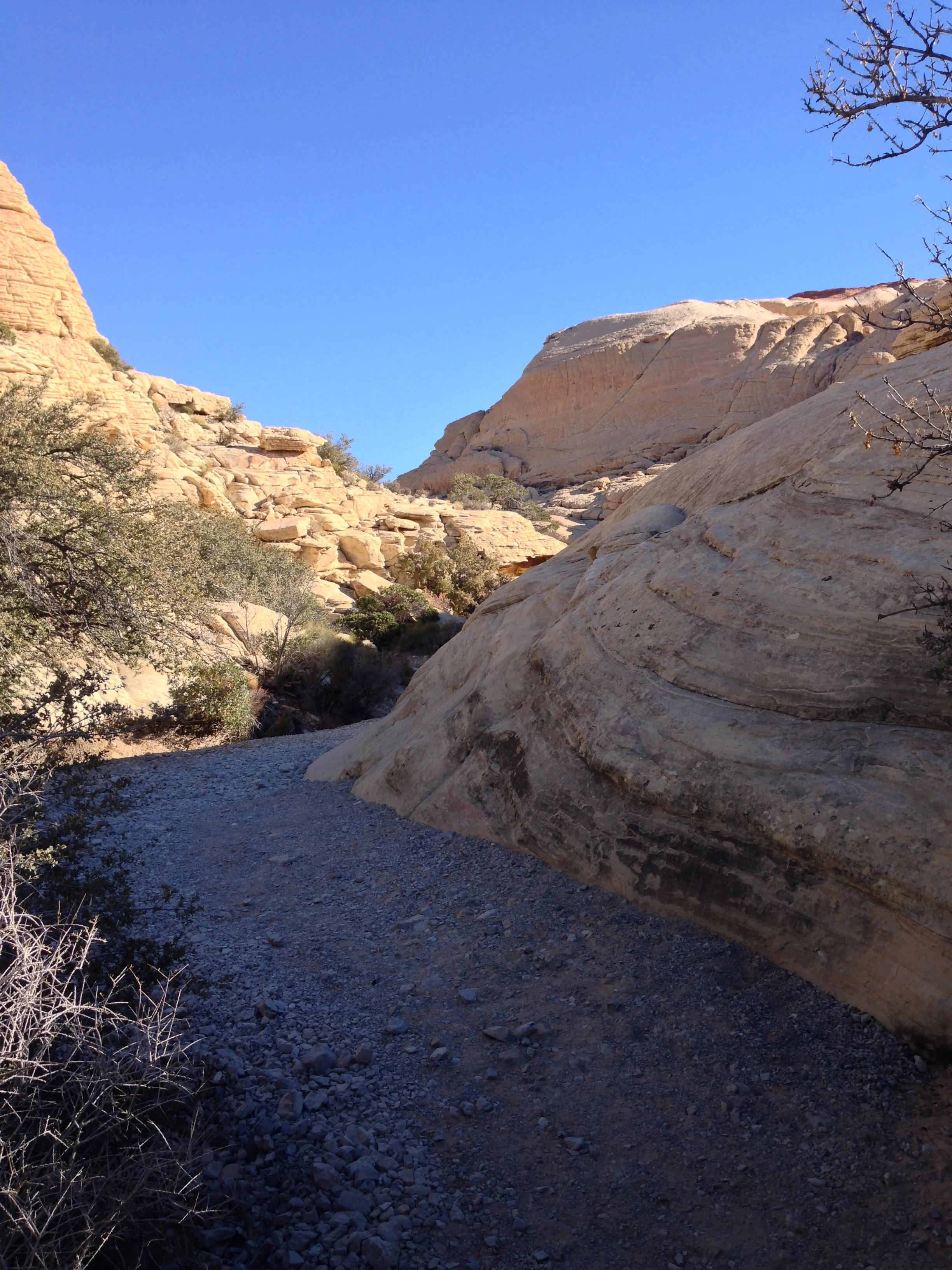
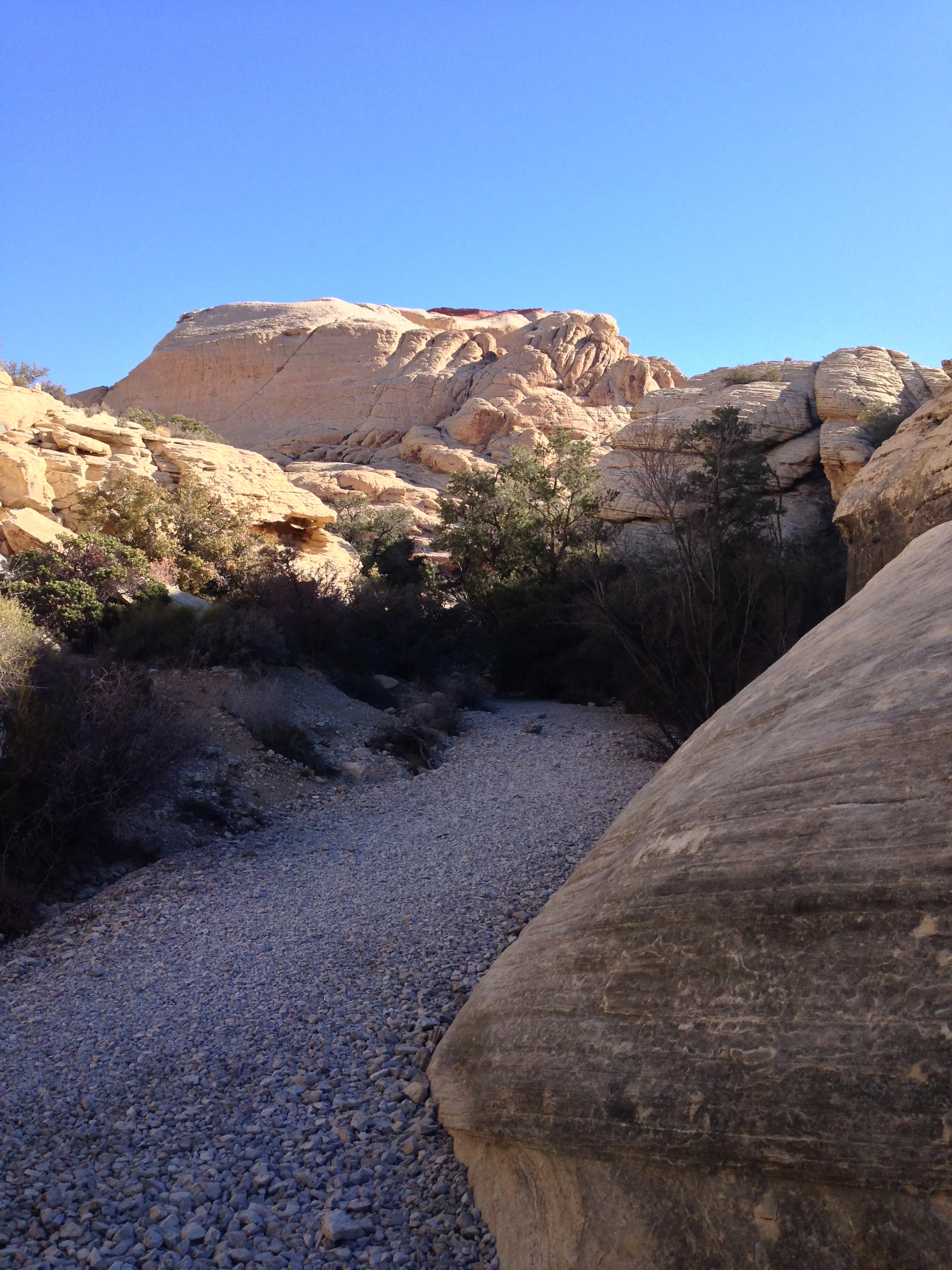
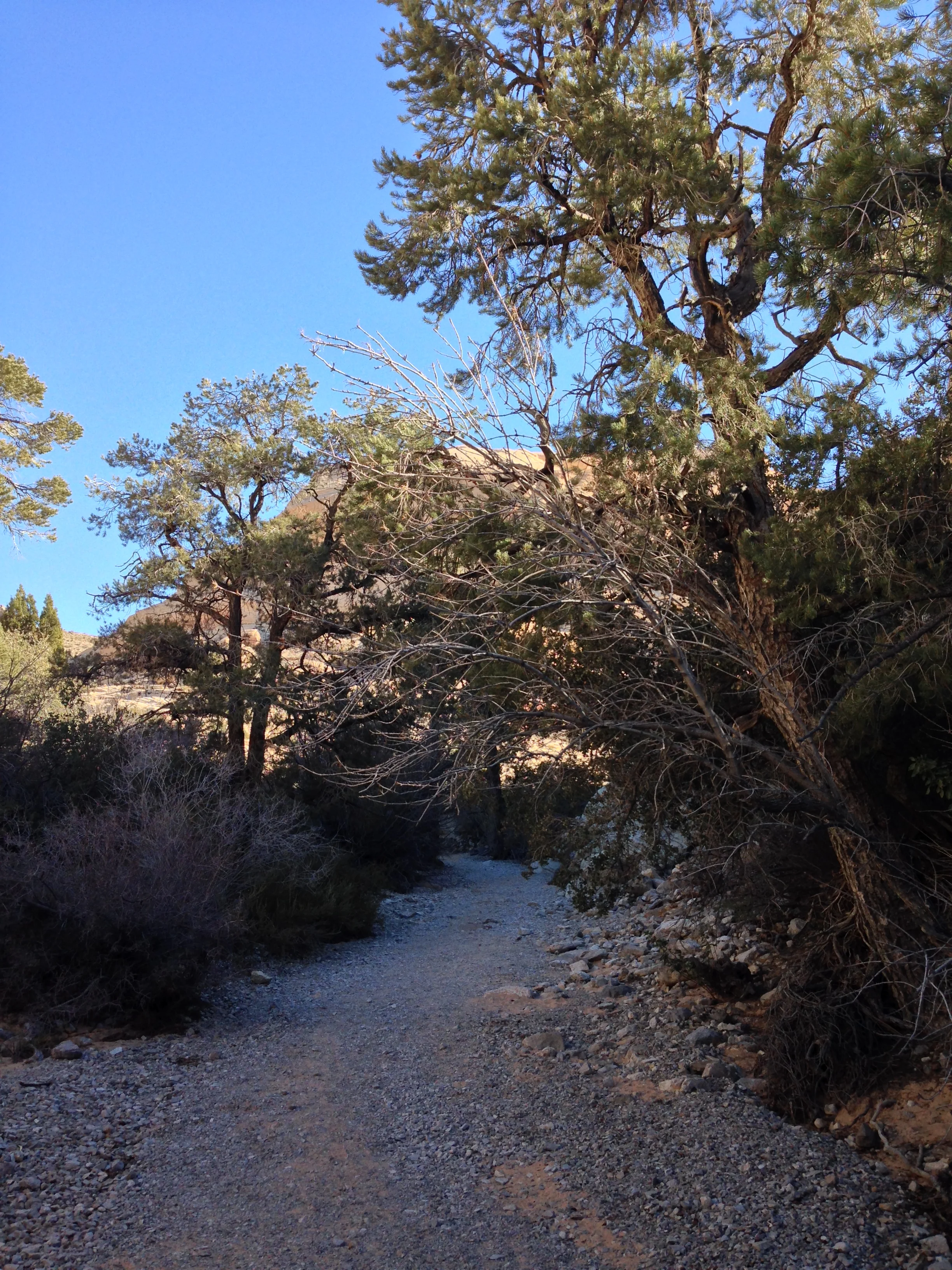
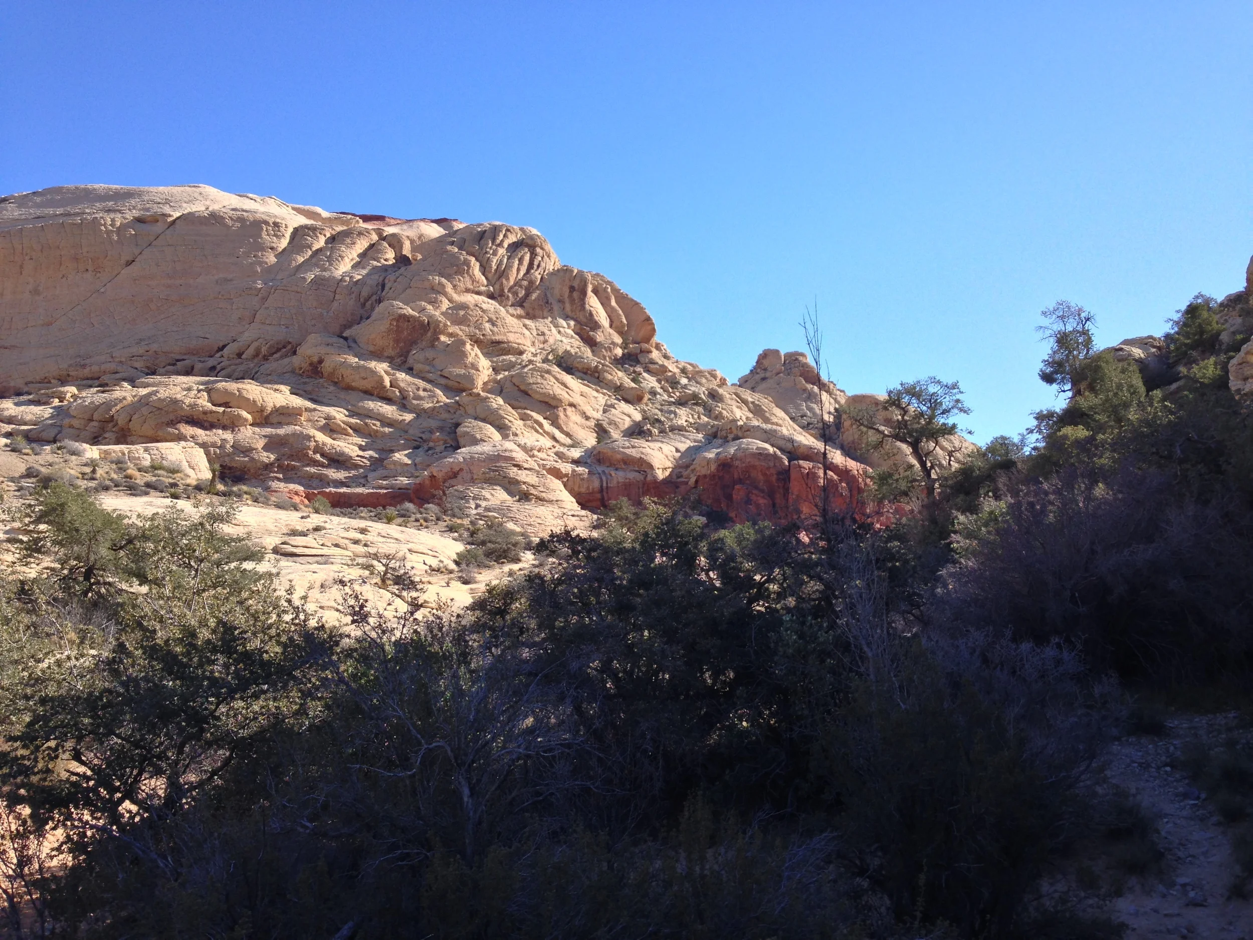
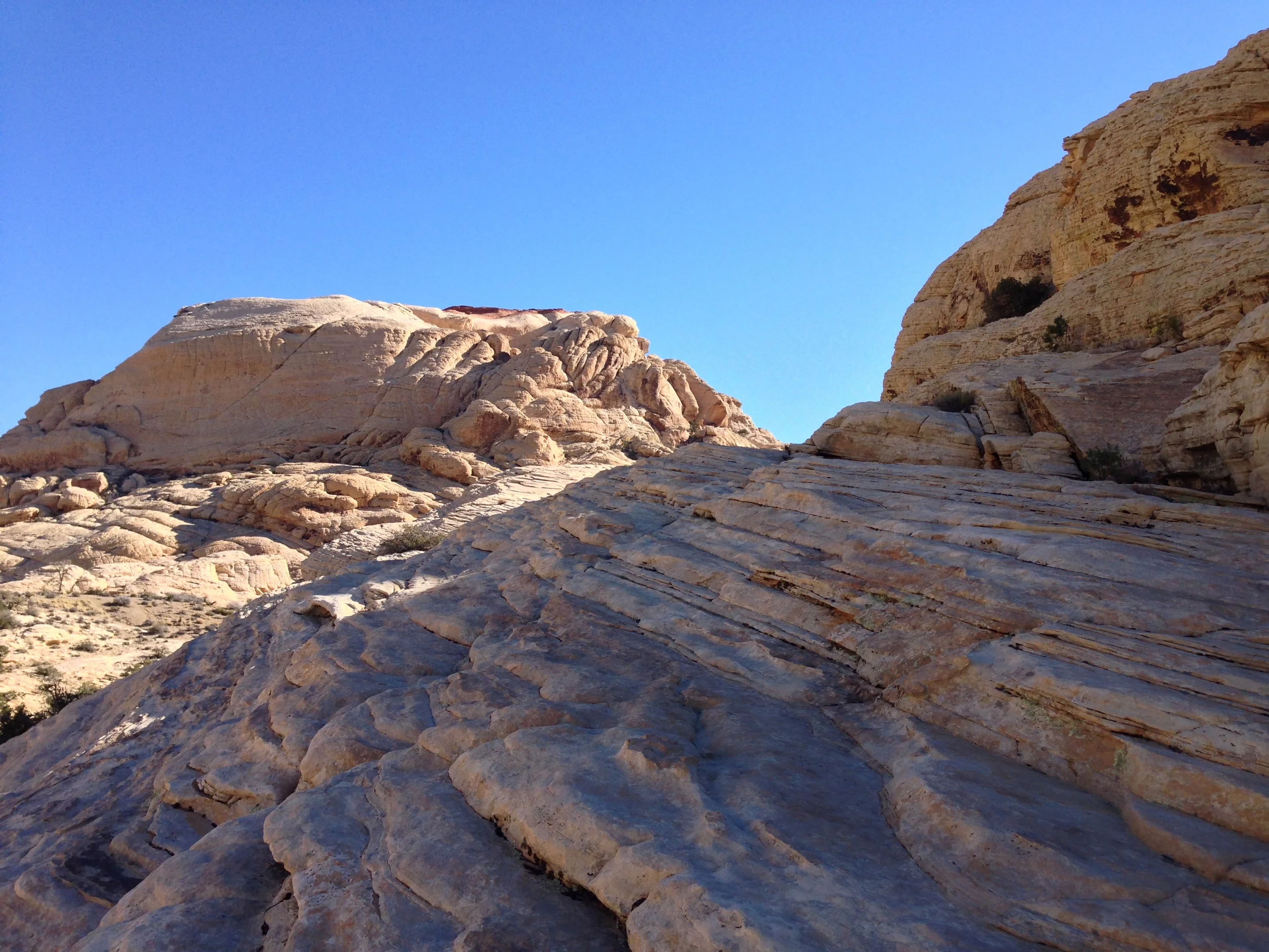
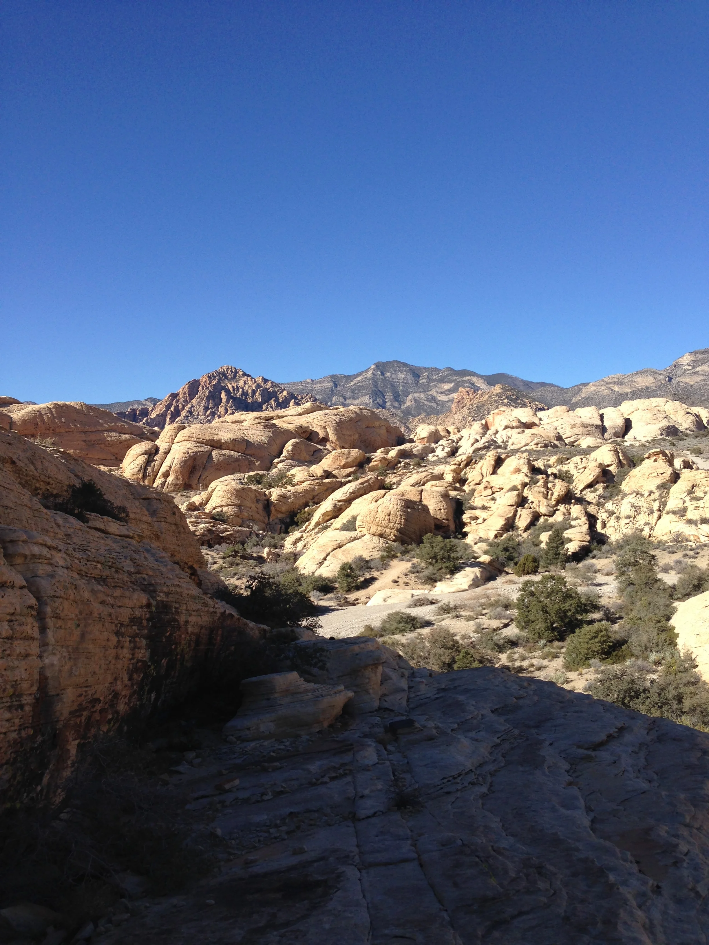
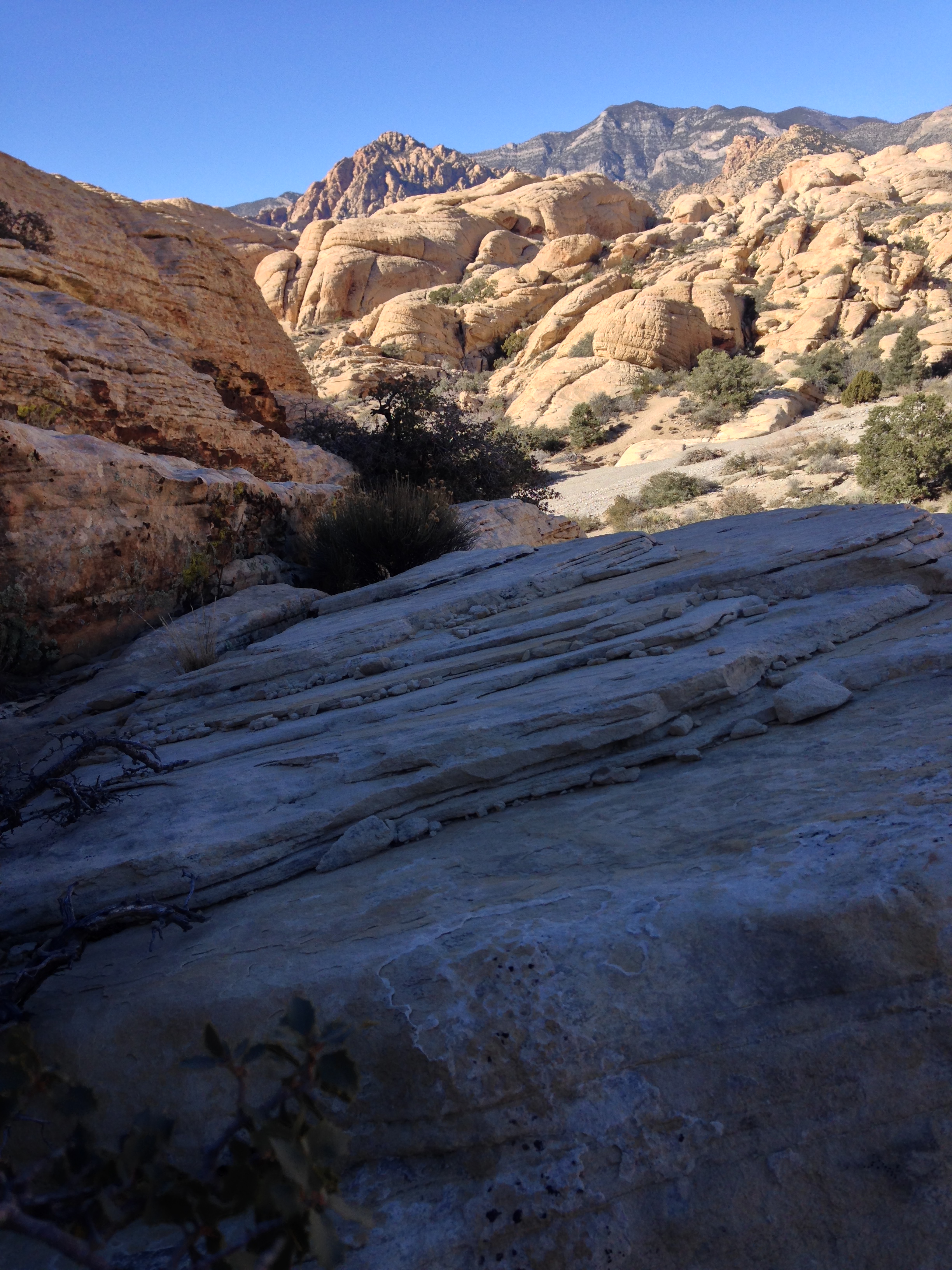
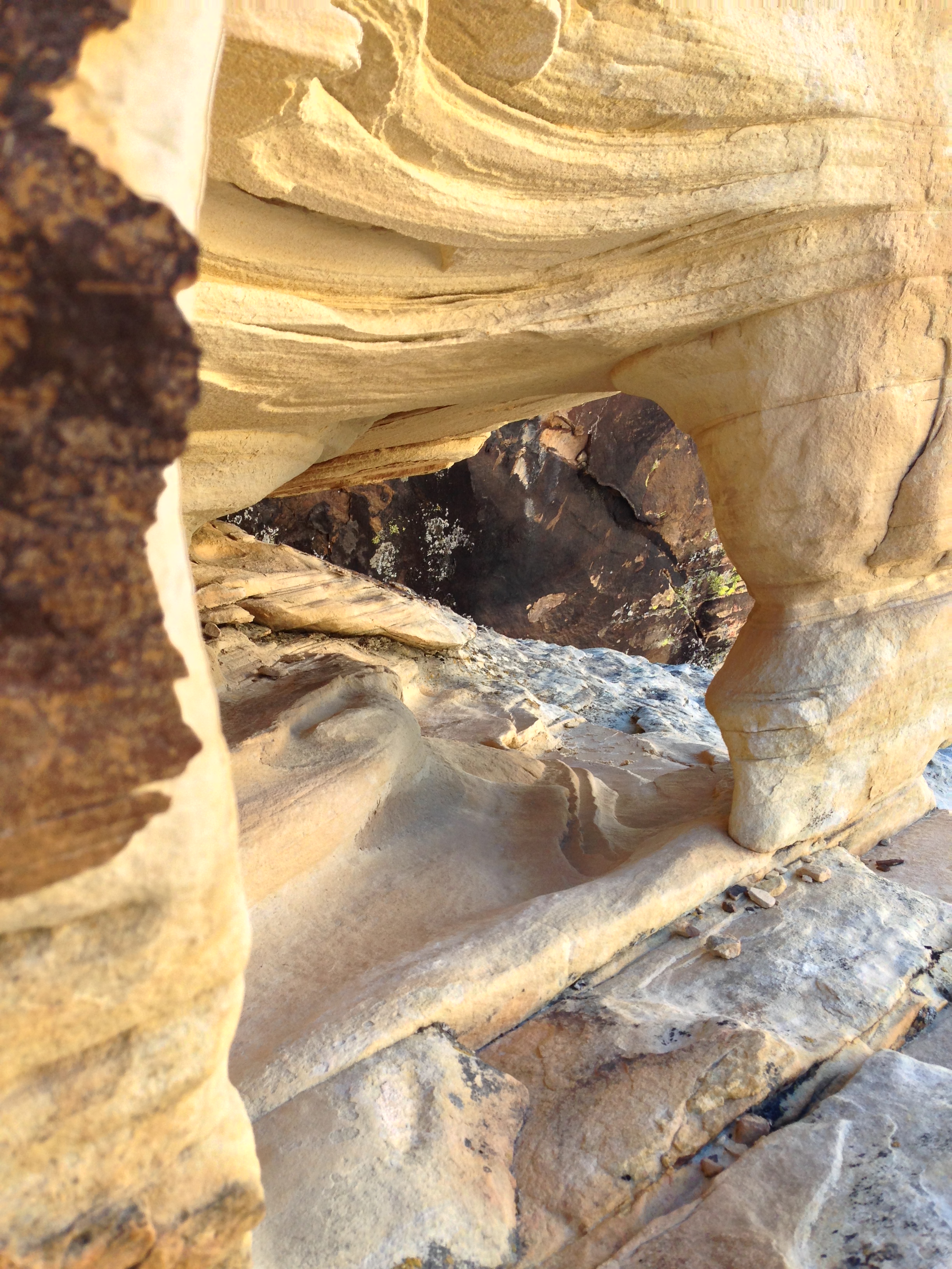
From the parking area, the trailhead is readily apparent, and the trail to the Calico Tanks is a relatively simple out-and-back route. From the parking lot, the trail heads across the desert, and across a wash, where it forks toward Turtleback Peak, and also toward the “tanks” themselves. From this point, the trail winds through the wash and into a canyon. At the start of the canyon, the trail is quite wide, and provides great views of the Calico Hills to the South, and the Turtleback Peak region to the North. However, as you head up the trail, the canyon narrows, and eventually begins to ascend a series of steps cut into the slickrock.
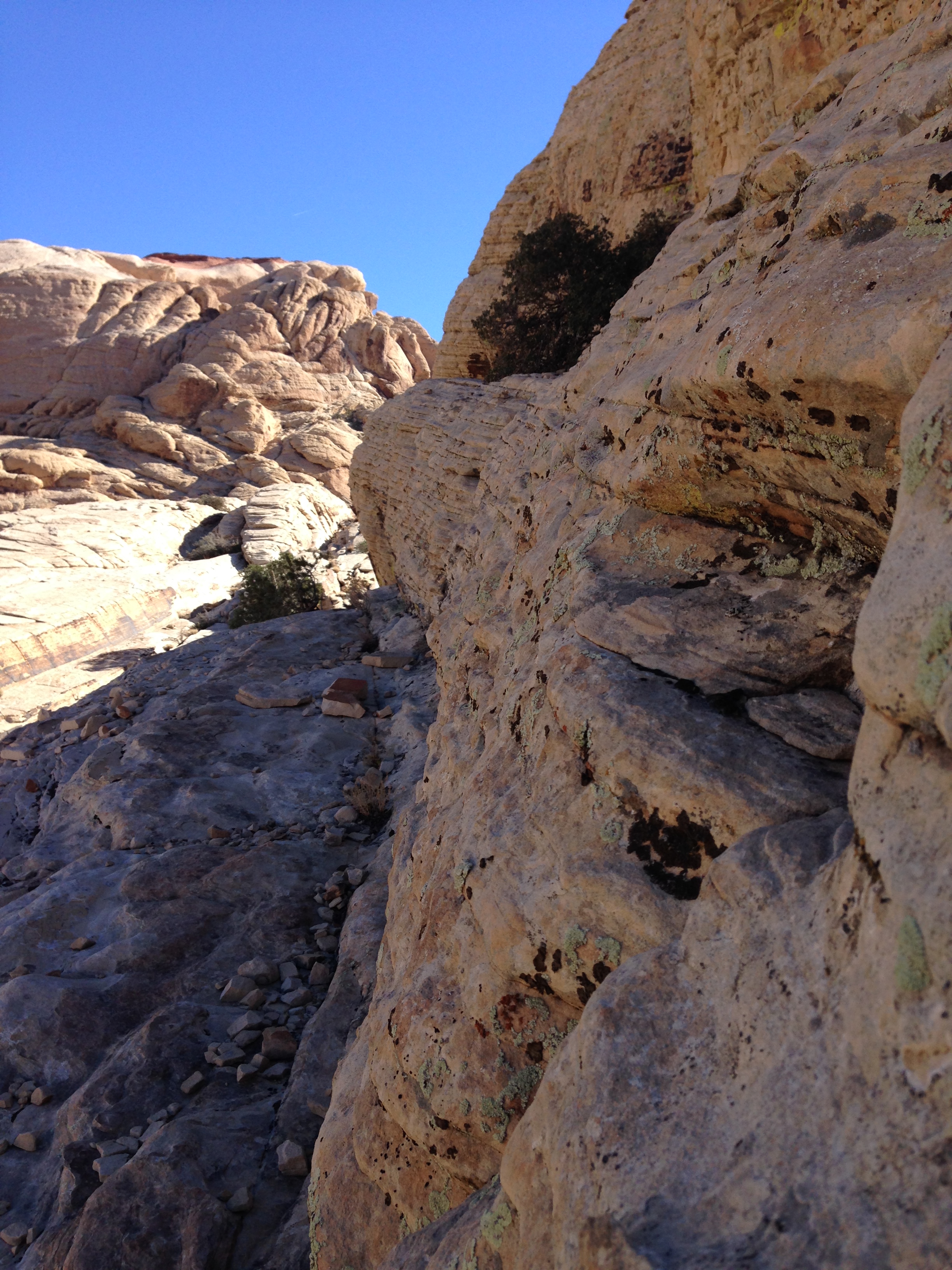
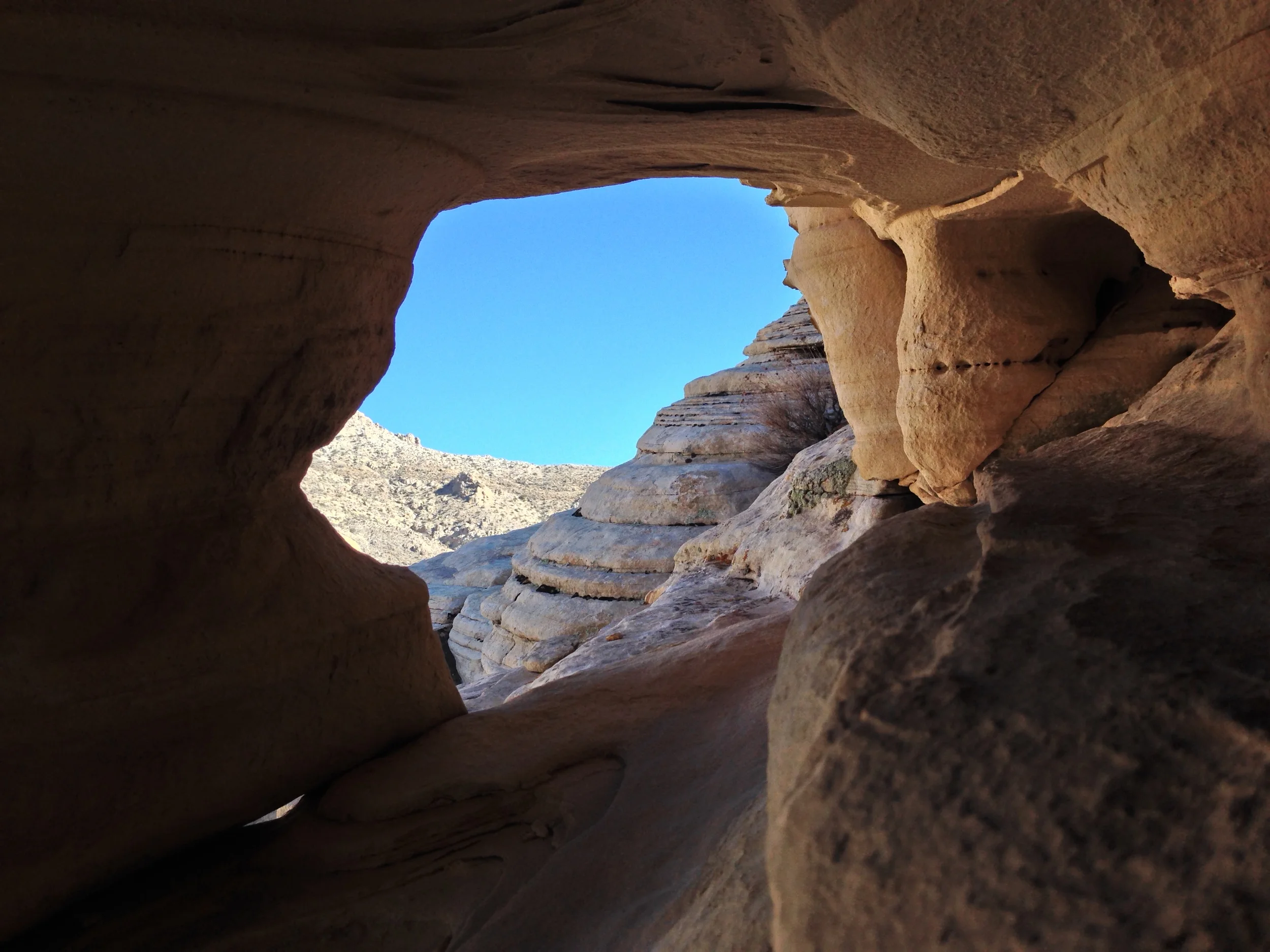
While there are many great opportunities to explore the formations along the route, this area has many spots to explore that possess fantastic views with only a little bit of scrambling. After one ascends the “steps”, the trail levels out, and eventually descends into a depression. This is where the “tanks” – large slickrock areas are. During wet years, the “tanks” hold water for desert wildlife. Unfortunately, when I visited in 2014, there was only a small amount of water present. (For pictures of what the area looks like with water, check here). Even if the tanks do not have water, this is a great short hike that allows visitors to explore and get close to the amazing geology present in the park. Distance wise, the hike is 1.2 miles one way; or 2.4 miles roundtrip. In terms of difficulty, I would rate this as an easy hike, however, it is worth noting that the steps do gain a fair amount of elevation in a short distance.
Tips: As always when hiking in the desert, bring plenty of water, even during the winter.