Angel's Landing, Zion National Park (2001)

Since I'll be talking about one of my favorite hikes in Utah tomorrow, I thought I'd throw up a few pictures from back in the day - 2001 - of how the hike looked then. Since most of the hike is over ancient and well formed geologic features, you'll be able to take a look and see that while ten years is a long time, it's just a drop in the bucket of history.

Final stretch to the peak, 2001.View from the top of Angel's Landing (2001)View from the top of Angel's Landing (2001)

Cinder Cone Natural Area, Mojave National Preserve

Rock formations in the Cinder Cone Natural Area

I don’t know about you, but when I think “Volcano”, I don’t think desert. But, more often than not, there’s evidence of volcanism in the deserts of Southern California. From the Ubehebe Crater in Death Valley to Banshee Canyon in Hole-in-the-Wall , there’s remnants of ancient volcanoes and their eruptions. To me, one of the neat things about these ancient volcanoes is the different types of rocks they leave behind, and the different types of terrain that they have produced. The other great thing about these areas of volcanism is that they provide great opportunities for exploring.

The Cinder Cone Natural Area is one of these volcanic areas that is basically designed for exploring. Stretching for miles and miles, the area is located directly off Kelbaker Road in the Mojave National Preserve. The area has over twenty cinder cones, and large ancient lava flows. It is a place where you can wander around marveling at the various rocks, or, if you wish to off-road a little bit, an area where you can head out to discover lava tubes and discover what lies within them.

Directions: The Cinder Cone Natural area is located sixteen miles South of Baker. From the I-15, exit Kelbaker Road, and follow it for sixteen miles south south-east. At sixteen miles, you will notice a black basalt line to the East, delineating some of the lava flows present in the area. At this point, you can either pull off the road, and hike approximately one to two miles to the base of the lava flows, where you can explore from there, or you can take one of the many dirt pullouts and off-road on one of the trails to the base of the lava flows.

Rock formations in the Cinder Cone Natural Area

Do note that the area is full of soft sand, and I would recommend that you have either all-wheel drive or four-wheel drive should you attempt to off-road in this region. When I was there, I drove out on one of the off-road trails toward the base of the lava flow in a non-4WD/AWD vehicle, and quickly realized that I would be better off hiking than becoming potentially stuck and stranded. If you want to explore lava tubes, you’ll want to follow Kelbaker Road nineteen miles south from Baker, until you reach the Aiken Mine Road. Once you turn onto the Aiken Mine Road, it is approximately four miles to the East on an unpaved sandy off-road trail.

Tips: Travel in the Mojave National Preserve is not without risk as there are large expanses without basic services, including water and gasoline. Moreover, while the National Park Service maintains the roads to the best of their ability, they are a bit rougher than you would expect in certain places. As noted above, if you are planning on going off-roading, be sure to have a vehicle that can handle the challenges of the terrain. It is also important to note that there is limited to no cellular service within the Preserve, and in many areas, GPS units do not function well. Plan accordingly, and make sure to have the proper equipment, including maps and plenty of water when you head out to explore.

Ashford Mill

Ashford Mill

There’s gold in them thar hills! Why else would people come to Death Valley – aside from the mystic saltwater pools, of course! If you’ve got a moment, and you’re heading into the park from the South entrance, or leaving the park from the South entrance, I’d suggest that you stop at the ruins of the Ashford Mill, where you can still see some of the structures of the former mill survive – mainly because they were built twice as thick as normal buildings. Supposedly, the buildings were built twice as thick, because extra material was delivered upon construction, but if you’re like me, you can speculate about more sinister, science-fiction type reasons while you’re there. In any event, while it’s not the Eureka Mine (http://lastadventurer.com/last-adventurers-fieldnotes/2012/2/27/eureka-mine-harrisburg-ghost-town-aguereberry-camp.html), it’s still worth a stop to see some of Death Valley’s mining past.

What NOT to do in Death Valley National Park

Awww man - did they really - yeah, they drove out there.

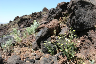
Back in the day, when dinosaurs ruled the Earth, I worked for the Wilderness Division of the National Park Service at a National Park for a season. Years later, I worked for the Department of Parks and Recreation for the State of California for a season as well. Before that, when the geologic features of the planet were forming, I was an Eagle Scout who was involved with numerous leave no trace programs. And now, as a somewhat grizzled outdoors veteran, I am a liberal-tree-hugging-pinko-commie-granola-eating-birkenstock-wearing-anti-american-stinky-pants (or so certain parties will tell you). I am all for wilderness preservation and protection. I don’t think this is a secret, but if you didn’t realize this, now you know. (It wasn’t a secret). Sometimes, when I am on vacation, or just out for a stroll, I have to weigh in my head whether I should say something to my fellow visitors about what they are doing to our natural resources. I don’t want to ruin anyone’s time, but sometimes it’s good to say things to preserve things for other people – after all, everyone needs to work to protect the land for future generations.

 Since they were so smarts, they are stuck - stuck good.

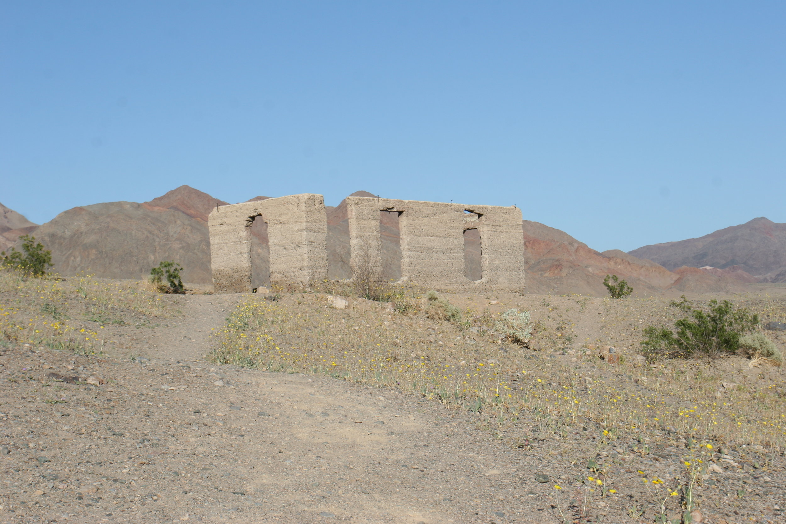
In my defense, let me say that being an eco-vigilante isn’t all bad: I pick up trash that I find on the trail and pack it out; I provide directions to people that are lost, or may become lost, I discuss trail conditions, provide water and food, provide educational insights (when I know what I’m talking about), and in certain situations, provide first aid. After all, you can’t just protect the environment, you have to protect the people in it as well. In any case, what I’ve been talking about the last couple days is the myriad of things available to do in Death Valley. And, you know what – there’s many more that I haven’t even touched upon. But, there’s plenty of things you should not do, and this is one of them. If this isn’t the most egregious thing that you shouldn’t do in the park, it’s up there. I took these pictures in 2010 as I was leaving the park off of Badwater Road. In case you haven’t been there, the road is lined with a plethora of signs along the hardpan that say, “No Offroading”. I saw this when I was I was driving along when I saw something out on the hardpan. It was one of those moments where I stared and said, “Nahhhh, it couldn’t be, no one’s that stupid”, before I blinked and realized that it was still there.

Since I’m a curious guy, I parked and walked out to the stuck vehicle. The perpetrators? Well, they were long gone, which is good for them, because this eco-vigilante would have definitely not held back had he found them. Their vehicle? Well, you can see what happened to it. It was stuck – and stuck good. I don’t know if the National Park Service ever found the culprits – but then again, since they were crack lawbreakers, and so smarts, they left the plates on their car before they fled. Thererfore, let me advise you of what not to do in Death Valley: if the sign says no off-roading, don’t do it. Just don’t. It’s hard on the environment; there’s plenty of other places you can off-road legally, and chances are, you’re going to end up looking like the dumbasses you are when you get stuck, caught, and have to abandon your vehicle. Final analysis: Death Valley – lots of things to do, but don’t do this, unless you’re a complete failure. 

 Only one thing that can really be said here: Death Valley Driving Fail

Dantes BM/Dantes Peak

Dantes BM/Dantes Peak

When is a mountain not a mountain? When the mountaineering community says so, of course! Dantes Peak or “Dante’s BM” as it is known in the climbing community will never confuse anyone with Mt. Everest. For starters, at over 29,000 feet, Mt. Everest is the prime diamond jewel in the climber’s crown. At 5,704 feet, Dantes Peak is more like a climber’s emerald toe ring. There’s also the unfortunate fact that Dantes Peak is over four times smaller than Everest, and over two times smaller than Mt. Whitney. Heck, even its neighbor – Telescope Peak – is almost twice as big as it at 11,049 feet. But you know what? Not everyone gets to climb Mt. Everest, and not every mountain has to be Mt. Everest. Sometimes, things should just be enjoyed for what they are. And, for what it is, Dantes Peak is a great beginner’s hike with great views of Death Valley from the Black Mountains. 

The Salt/Saline Pools of the Devil’s Golf Course

The Salt/Saline Pools of the Devil’s Golf Course

The Devil's Golf Course is an area of Death Valley that is close to Badwater. While it is not quite as far below sea level as Badwater, this is an area that is also below sea level. But like Badwater, it shares a common geologic past. Over twenty thousand years ago, the valley floor of Death Valley was not barren and desolate - but instead was covered with water - a large body of water known to geologists and historians as Lake Manly. Lake Manly was full of minerals from the surrounding terrain; and over the course of time, as it evaporated, it left those minerals - and sedimentary rocks behind. Today, what remains are salt crystals from the bottom of the lake - and borax crystal formations. These crystals have grown into an extensive – and hard network of structures. As you can see from the pictures above, the crystal formations have covered the area in a network of sharp formations that are between one to two feet high and are close together. As the area is difficult to traverse on foot, one can only imagine the difficulty one would have attempting to play any sort of golf game (hence the name). While the crystals are spectacular, where myth and fact meet are with the secret pools of water that remain interspersed among the formations.

Salt Creek Interpretive Trail

Salt Creek Interpretive Trail

If you’re like me, and you spent any amount of time in California in the 1990’s, chances are you saw two bumper stickers: “Keep Tahoe Blue”; or “Save the Pupfish”. Sadly, I don’t see as many Pupfish bumper stickers today as I used to, but perhaps that’s because most people don’t know where the pupfish are or what they are. There’s no reason to despair though – a visit to the Salt Creek Interpretive Trail will clear up the salient facts about Pupfish, but may provide you with other mysteries of the science fiction variety.