
The start of the Agate Beach trail provides great views and fantastic photographic opportunities.
One of the most stunning beaches in all of California can be found with a little effort, provided one is located near or around the Northern California Coast. Agate Beach is located within Patrick’s Point State Park, which is also one of the jewels of the California State park system; and is a park with some interesting Native American heritage, and great diverse short hikes. While all of the hikes in Patrick’s Point State Park can be combined to form a larger series of loops, they can also all be done separately as well. While the hike to Agate Beach is very short in terms of distance, it provides a great introduction to the park’s varied types of terrain, and also provides visitors with great views and abundant chances to explore.
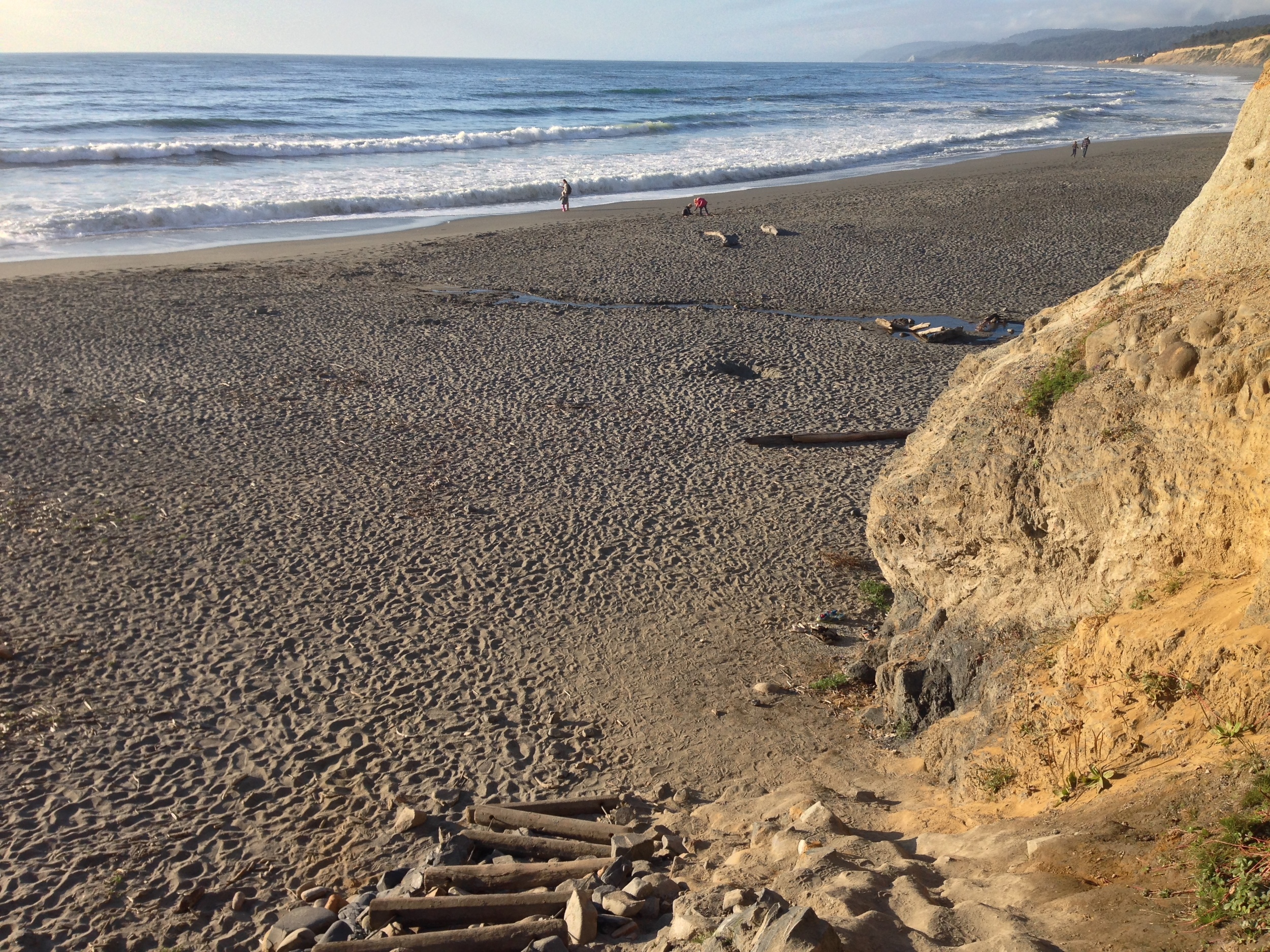
Agate Beach has fantastic views, no matter which way one looks.
Directions: Patrick’s Point State Park is located twenty-five (25) miles north of Eureka off of Highway 101; and fifty-six (56) miles south of Crescent City. The entrance to the park is well signed on both the Northbound and Southbound Highway 101. As of 2016, the entrance fee to enter the park is $8.00 for a day-use pass. From the entrance station, visitors should follow the park roads to the “Agate Campground”, and park as close to that area as they can.

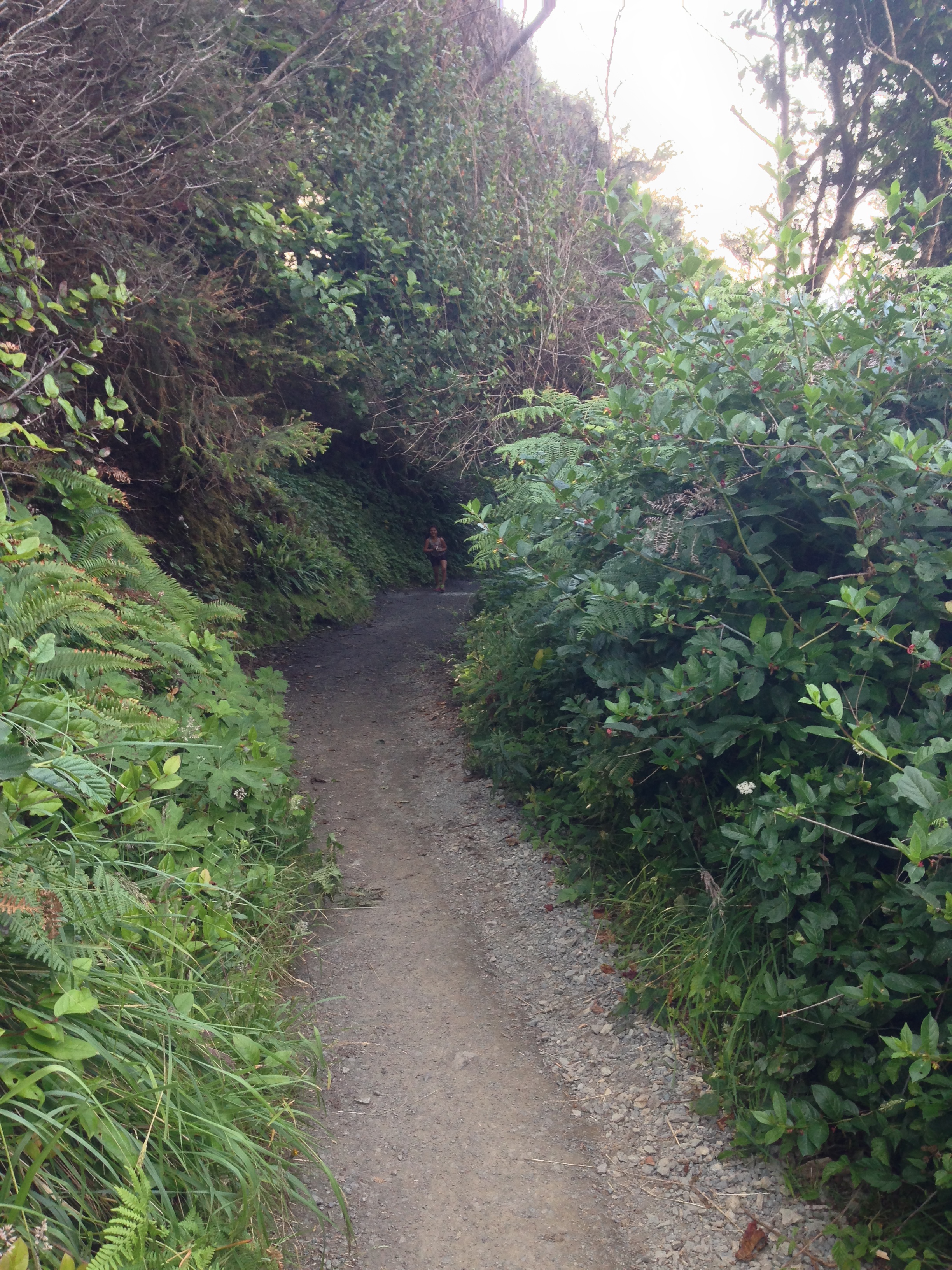
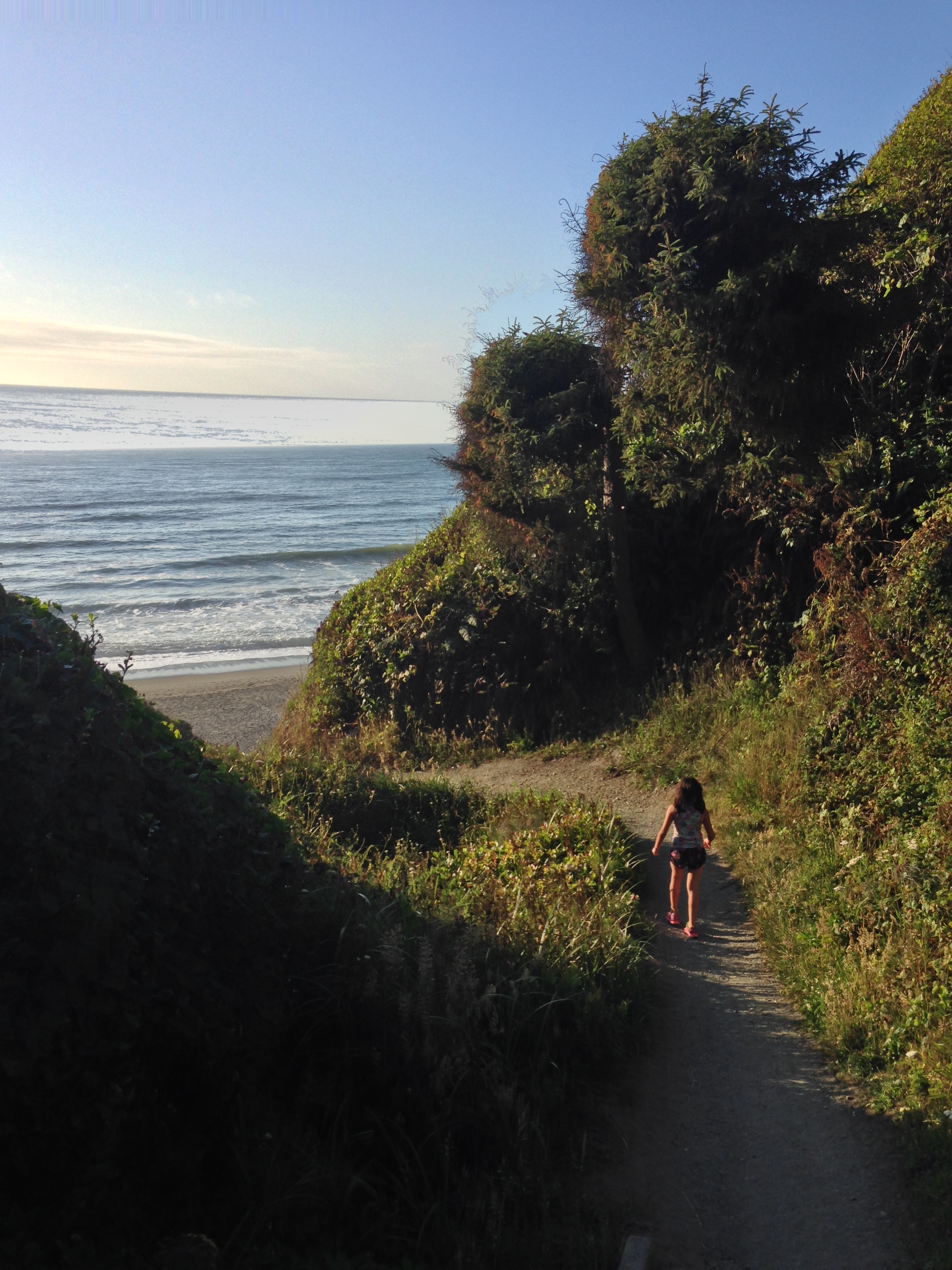
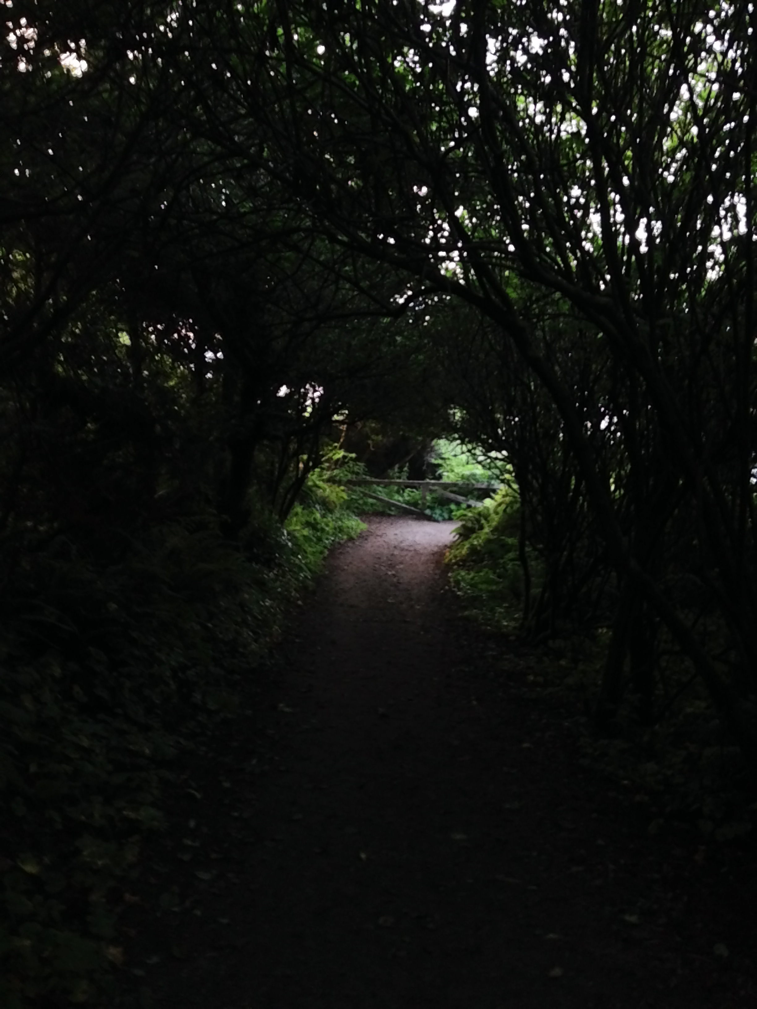
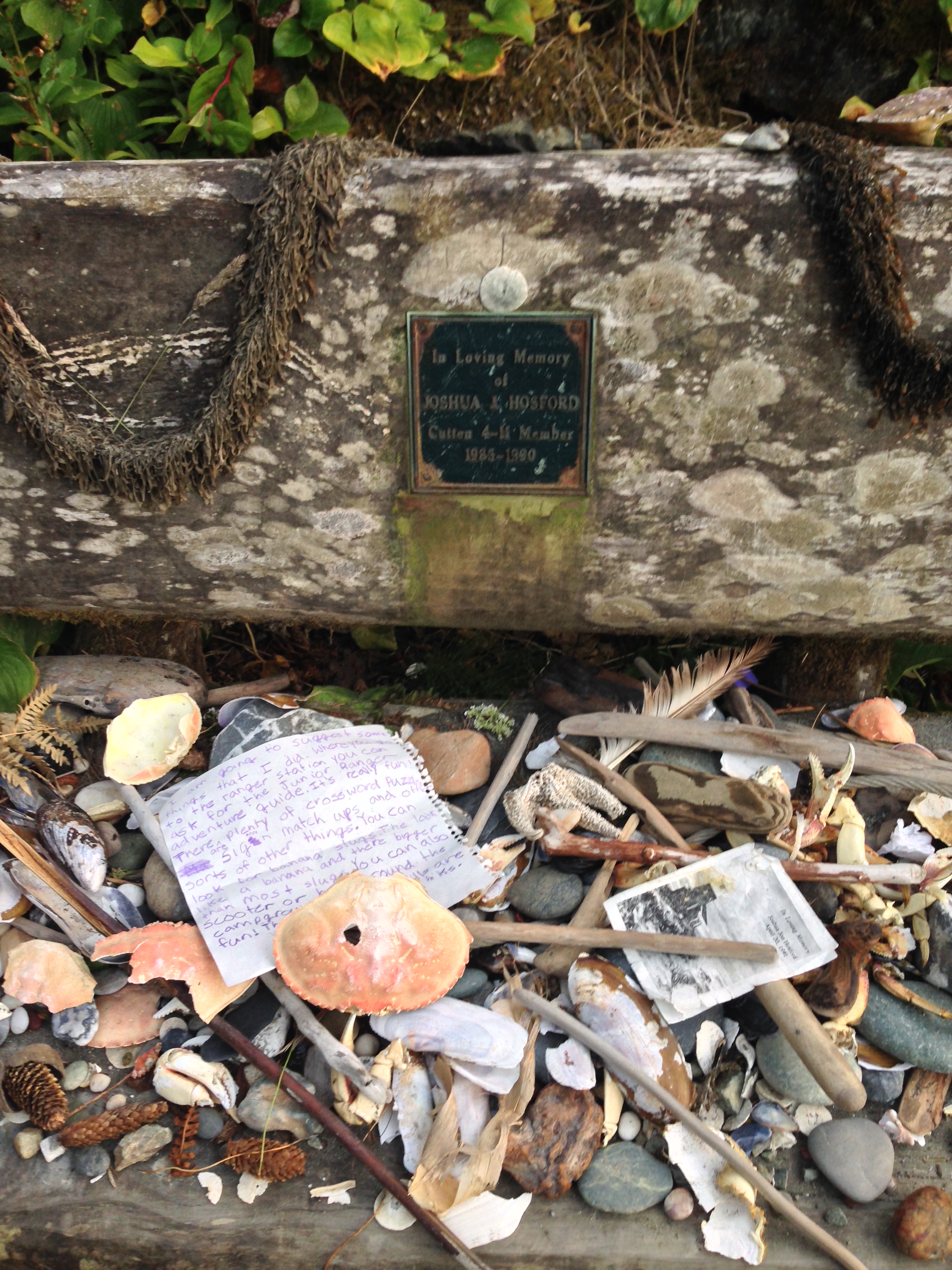
The trailhead to the beach leaves from the west side of the campground, and is slightly obscured by the Sitka Spruce grove that covers the cliffs above the beach and the start of the trail. From the trailhead, the trail descends down through the trees and provides great views of the coast, from Agate Beach to Big Lagoon, and points farther north. At the tenth of a mile mark, there is an interesting memorial on one of the benches to Joshua Hosford, a local boy who passed away. Shortly after that, the trail passes over a creek, which flows down to Agate Beach, and then descends through the final coastal shrubs to the beach itself. As noted above, while the distance of the Agate Beach Trail is somewhat short - .25 miles one way – there is a substantial amount of elevation gain during that distance. While visitors will likely not notice this on the descent, it is something that makes the ascent seem longer than its distance. However, at .5 miles roundtrip total distance, this hike is accessible for all ages and skill levels.
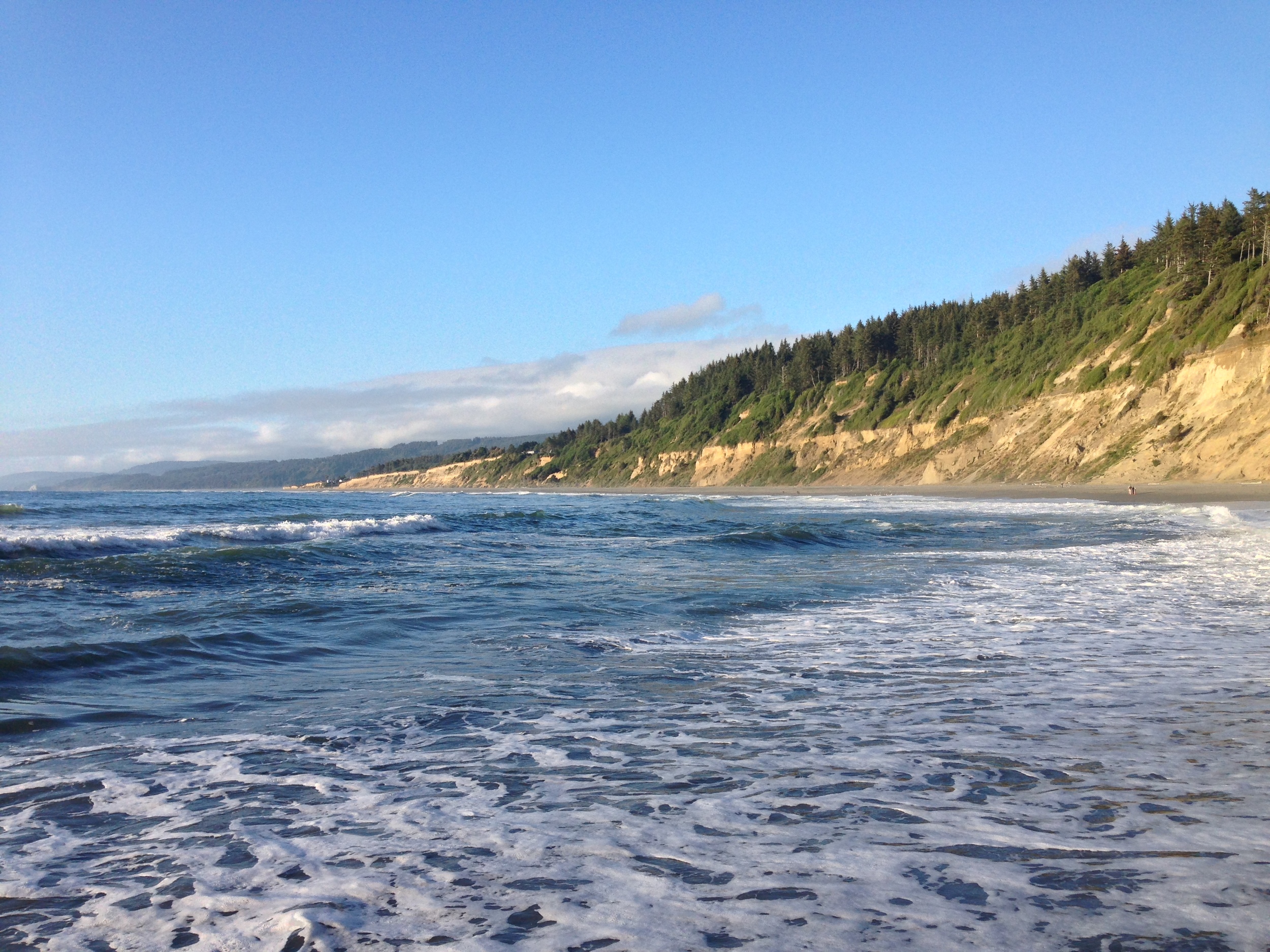
Looking North at Agate Beach, with Big Lagoon near the top of the image.
At the end of the trail, hikers will find themselves on Agate Beach proper, with fantastic views in every direction. To the south, there are views of the cliffs of the park, and to the north, Agate Beach stretches almost as far as the eye can see for the next two miles. From this point, visitors can choose as much – or as little of the beach they want to explore, depending on time, season, and interest. While Agate Beach takes its name from the agates that have been found on its sands, such rocks are more difficult to find as of 2016. It is also important to note that while Agate Beach and the surrounding ocean is very picturesque, the currents along the beach are very strong and dangerous, and as a general rule, the park does not recommend swimming because of the dangerous currents, strong (and rogue) waves, and undersea holes.
Tips: This is one of my favorite beaches in all of California due to the amazing scenery present from trailhead to the beach; and because of the high potential for solitude. While Patrick’s Point is not hidden by any stretch of the imagination, it is in a part of the state that is slightly harder to reach, which means that year-round, there are not as many visitors as other, more popular locations in the state. Finally, given its location, temperatures year-round can be cool, so visitors to the area should be prepared with warm weather clothing, even during the summer months.