
Sunrise, San Gabriel Mountains, San Gabriel River
For the majority of the United States and the world, Los Angeles is many things, including an urban mecca. And even though it may not seem like it, Los Angeles is also a hiking mecca as well. Like most of Southern California, Los Angeles has a variety of terrain types ranging from beach, to alpine, to desert, and almost everything in between. Although there are many great hikes in the city of Los Angeles, and the greater Los Angeles area, there is only one hike that leads to an abandoned bridge in the middle of the San Gabriel Mountains. Over the last twenty years, this hike has become known as “the Bridge to Nowhere” hike, and is perhaps one of the most popular hikes in the city, if not the most popular.
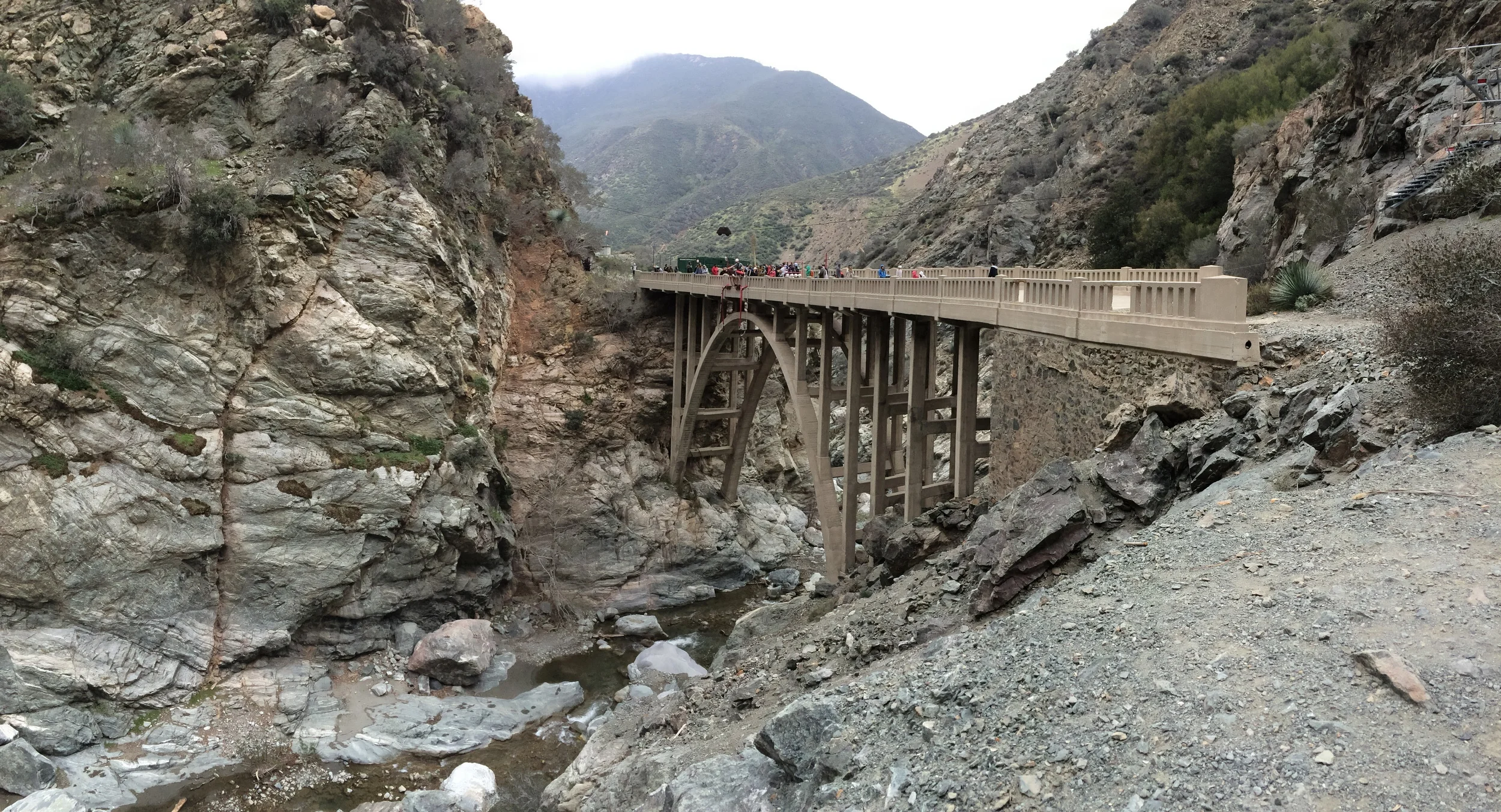
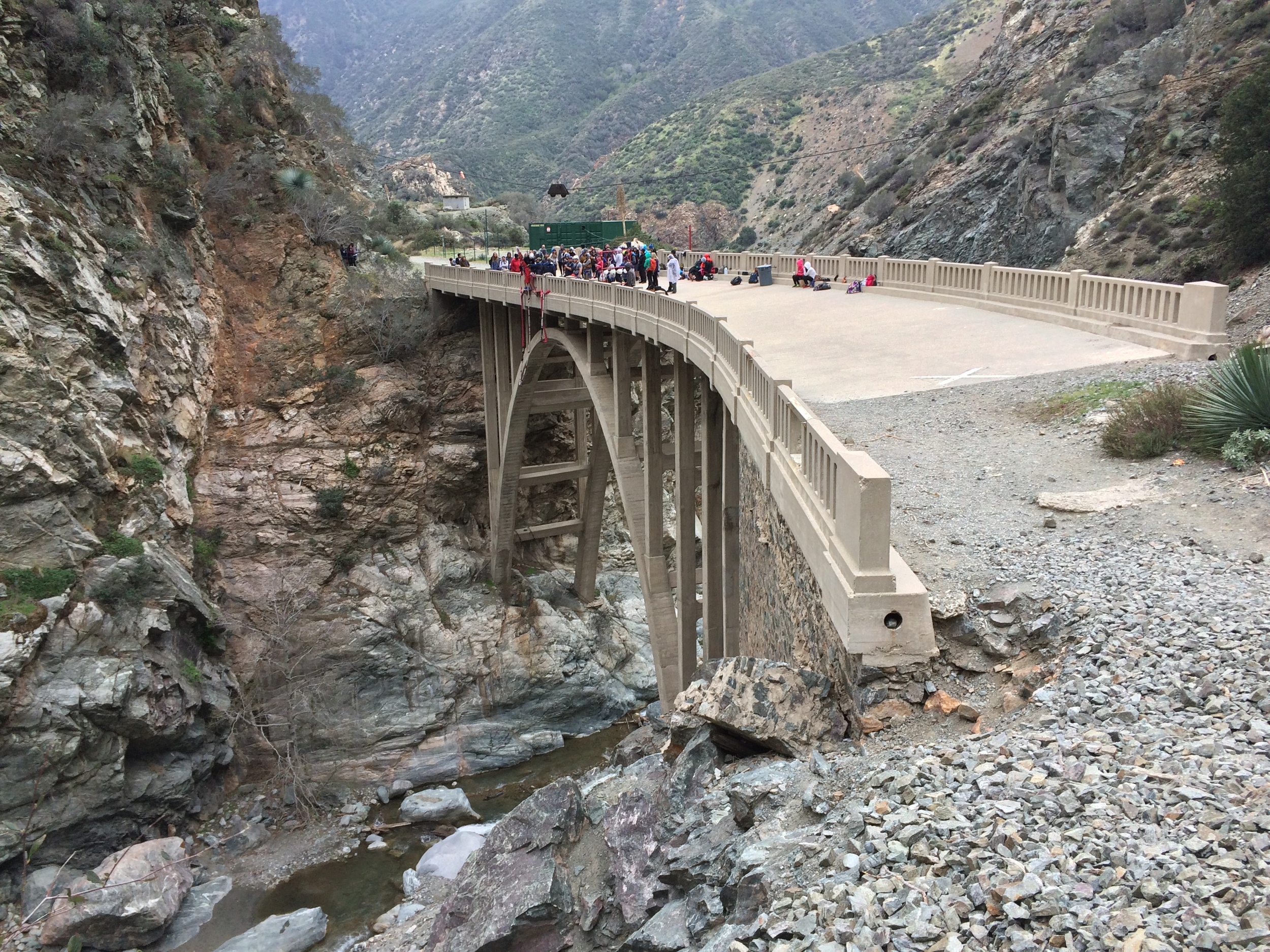
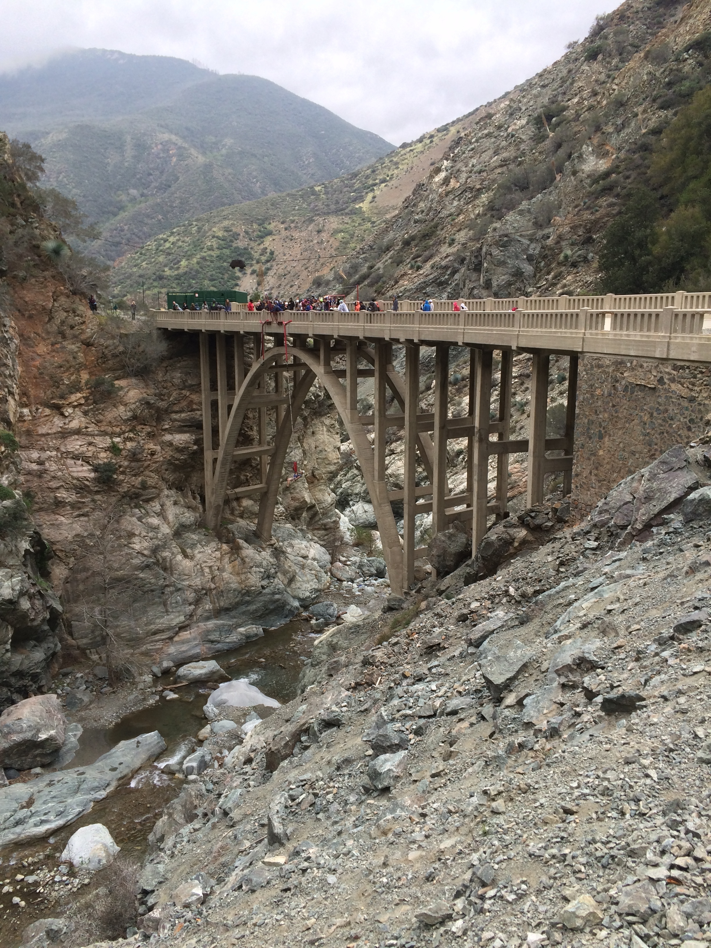
Bridge to Nowhere
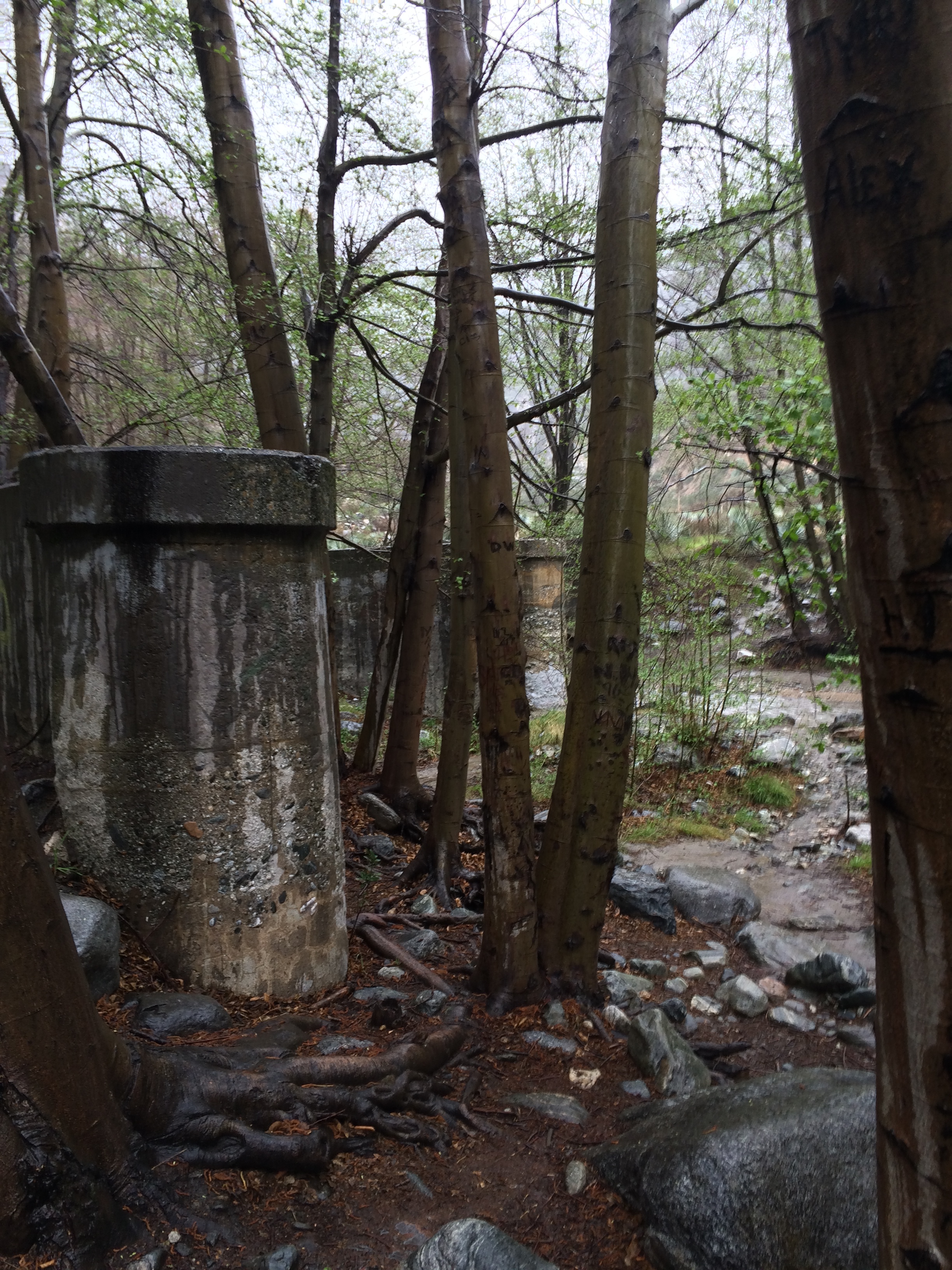
The hike gets its name from the Great Depression era arch bridge that was part of the East Fork Road project. The East Fork Road project was a road construction project that began in 1929, and was designed to connect the San Gabriel Valley to Wrightwood. In 1936, the road construction reached a point where a bridge was required to cross the San Gabriel river, and at that time, the bridge was built. All of this history would mean nothing, however, without a bona fide natural disaster. In 1938, the region suffered severe flooding, which washed out a majority of the road leading up to the bridge, but left the bridge intact. After a review of the project, it was deemed impractical to continue, and while the road remnants were abandoned, the bridge was left behind. Over the years, the land around the bridge became part of the National Forest system, and is currently part of the Sheep Mountain Wilderness. The bridge itself, became part of a private inholding (meaning it is private land in a National Forest), and since 1989, has been owned by Bungee America, which conducts bungee jumps from it (and allows hikers to cross and watch the jumps).
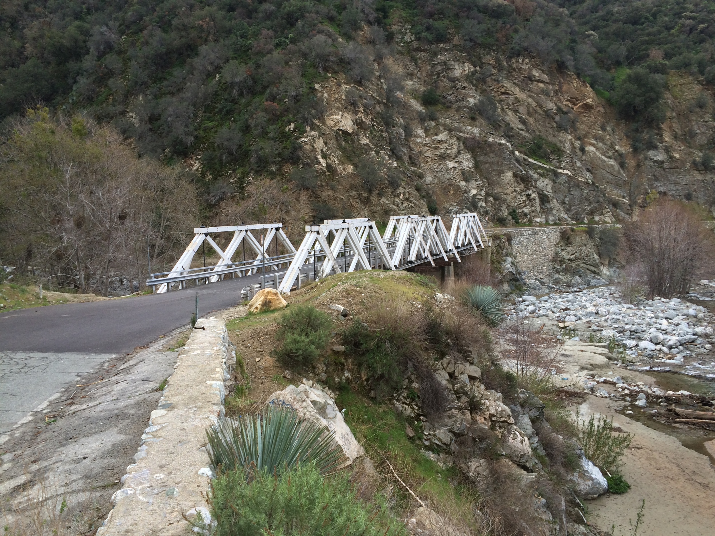


Directions: The closest town to the Bridge to Nowhere is Azusa, California, which is located directly off of the 210 Freeway. From the freeway exit at Azusa Avenue (otherwise known as Highway 39), head North (right) for three miles. At the three mile mark, the road will pass the Angeles Forest Information center, which is generally where cellular service stops. Eight miles from the Information Center (11.5 miles from the freeway), there is a turnoff for “East Fork Road” on the right hand side. Visitors will know they are in the right location as this turnoff first leads over a long bridge. For the next five and a half miles, visitors should follow the road, until it reaches a three-way intersection with Camp Bonita Road. At that point, visitors should turn left onto Camp Bonita Road, and follow it for a mile to the East Fork Trailhead parking. From the trailhead parking lot, the trail is readily apparent as it is behind a fire access gate.
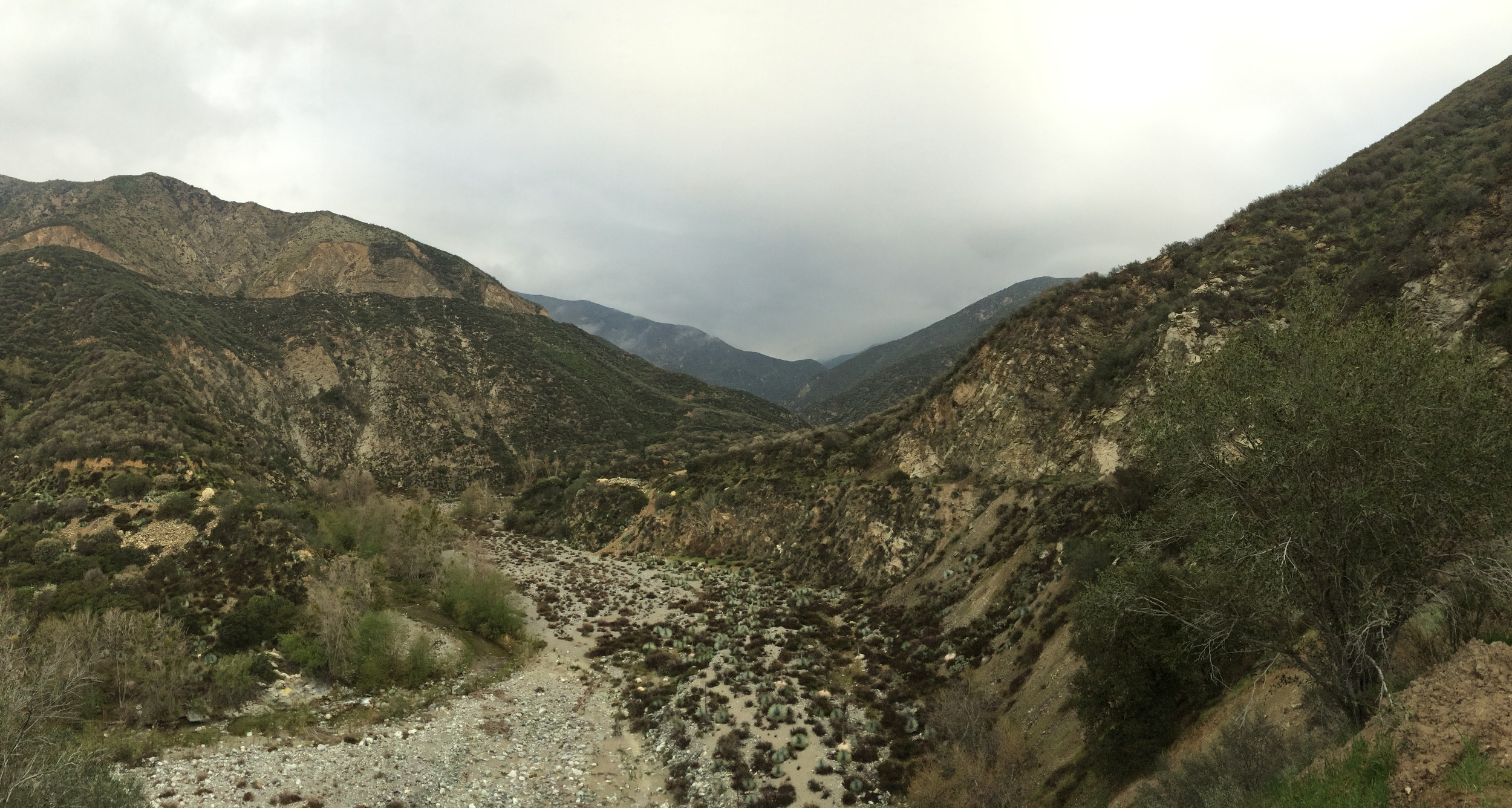
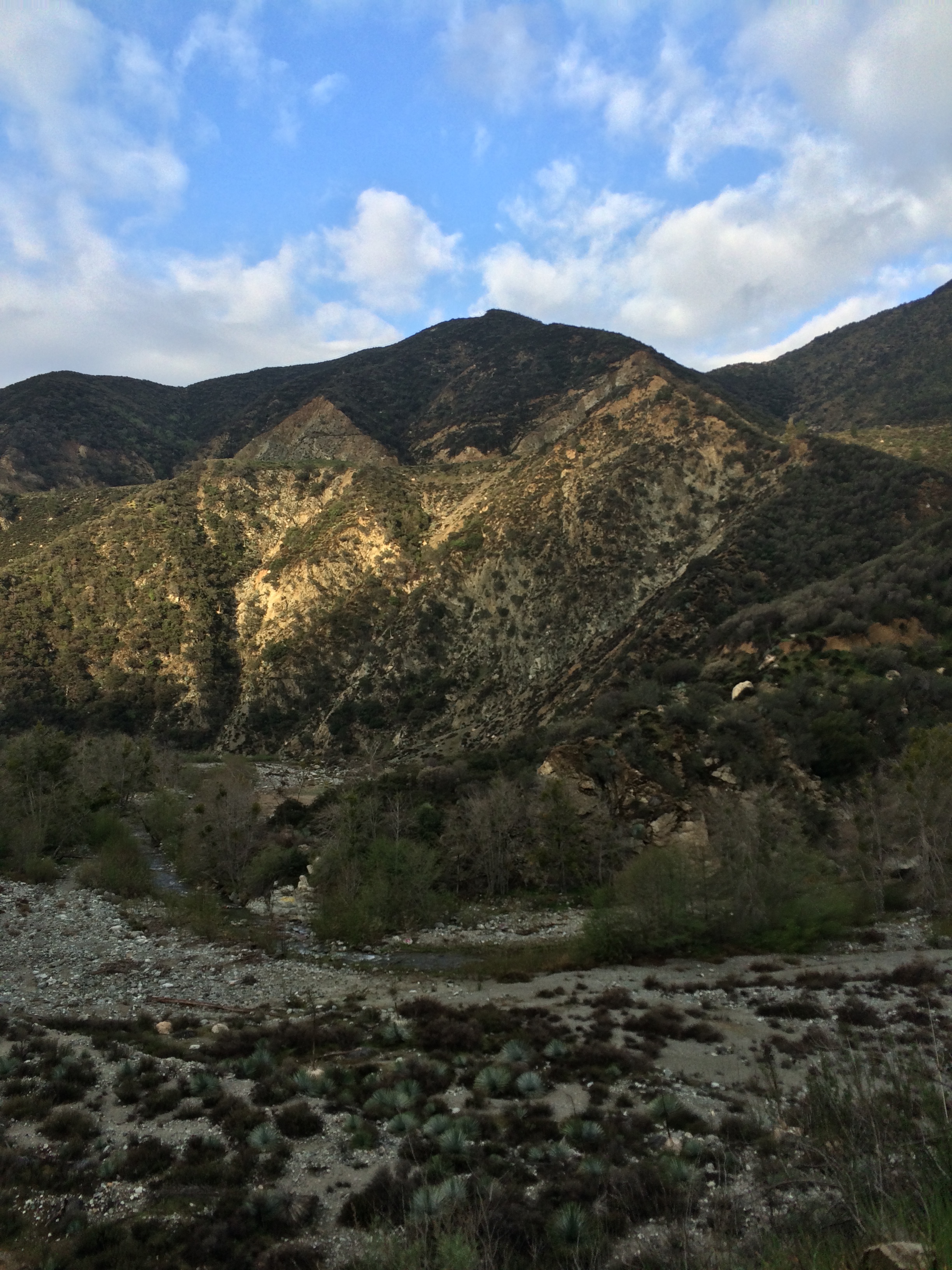
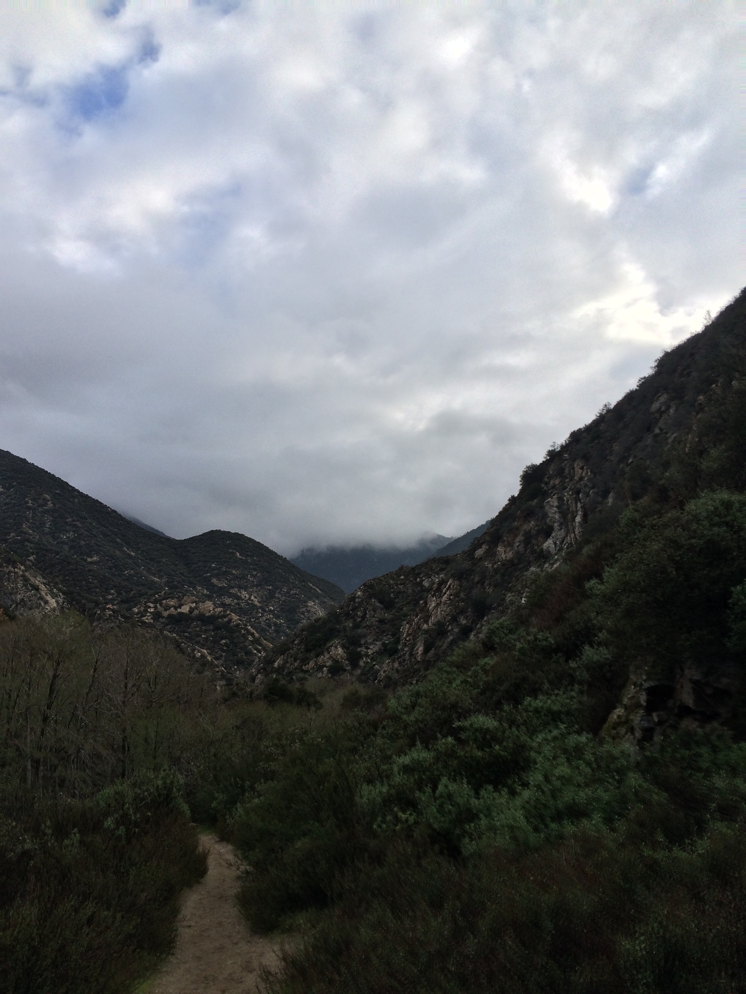
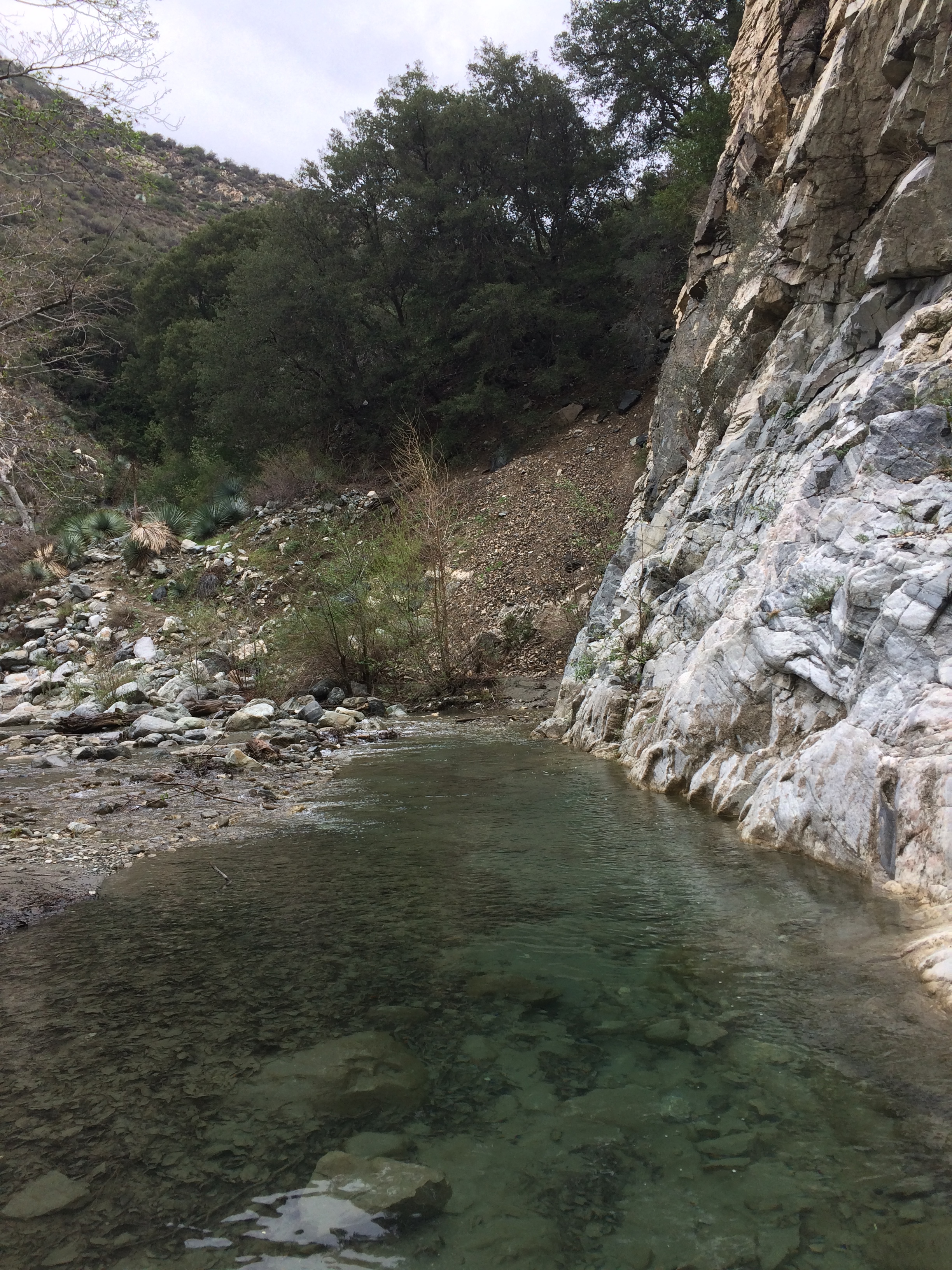
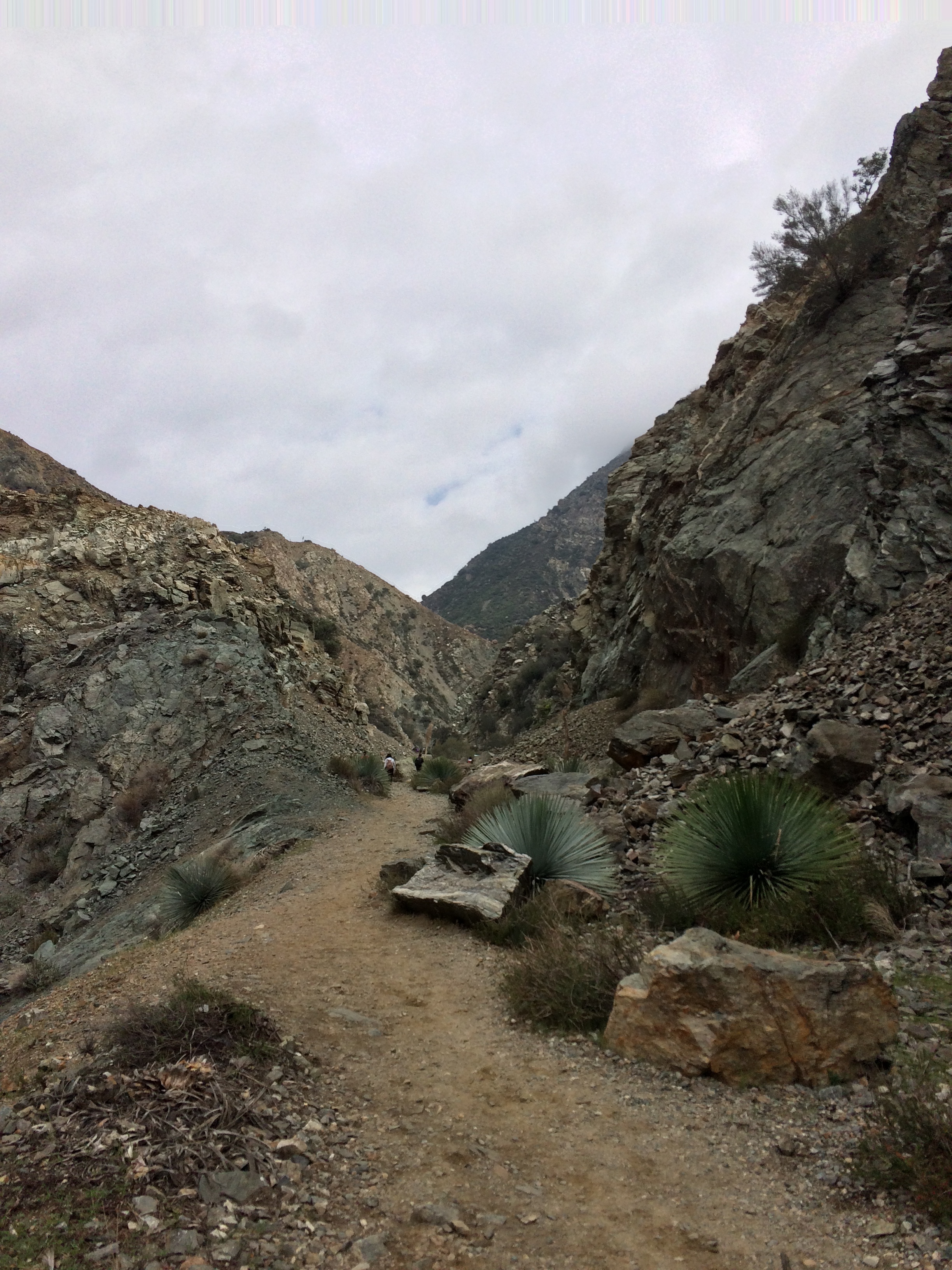
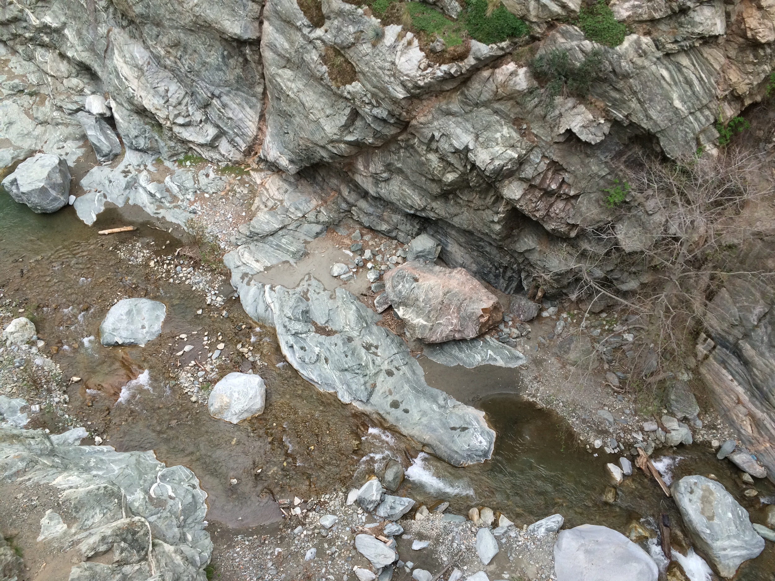
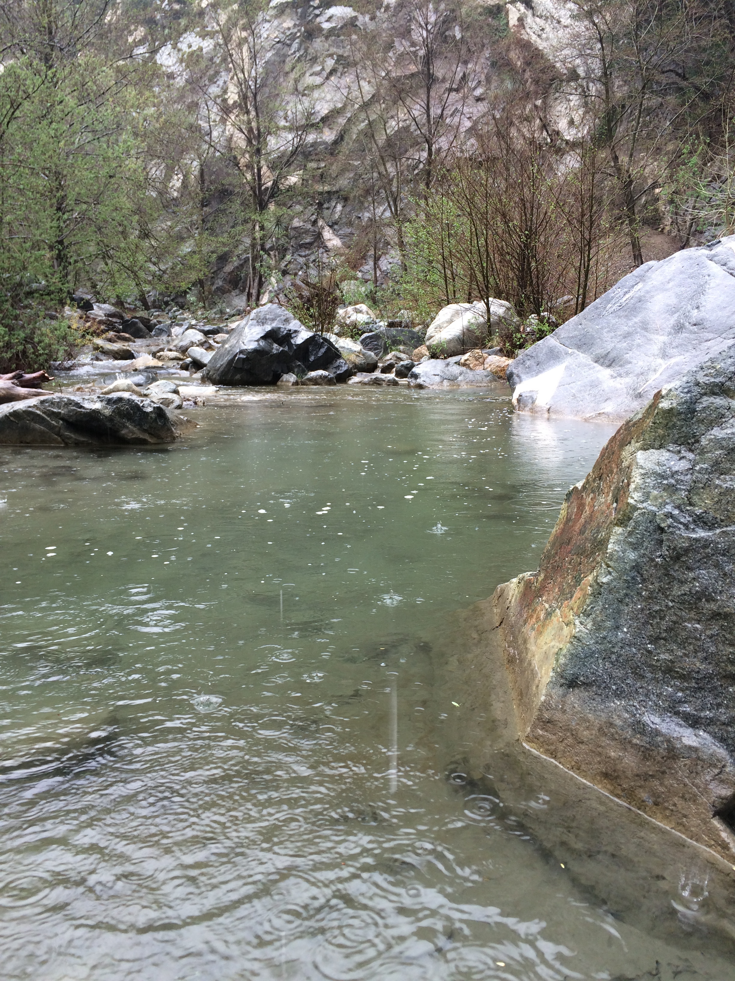
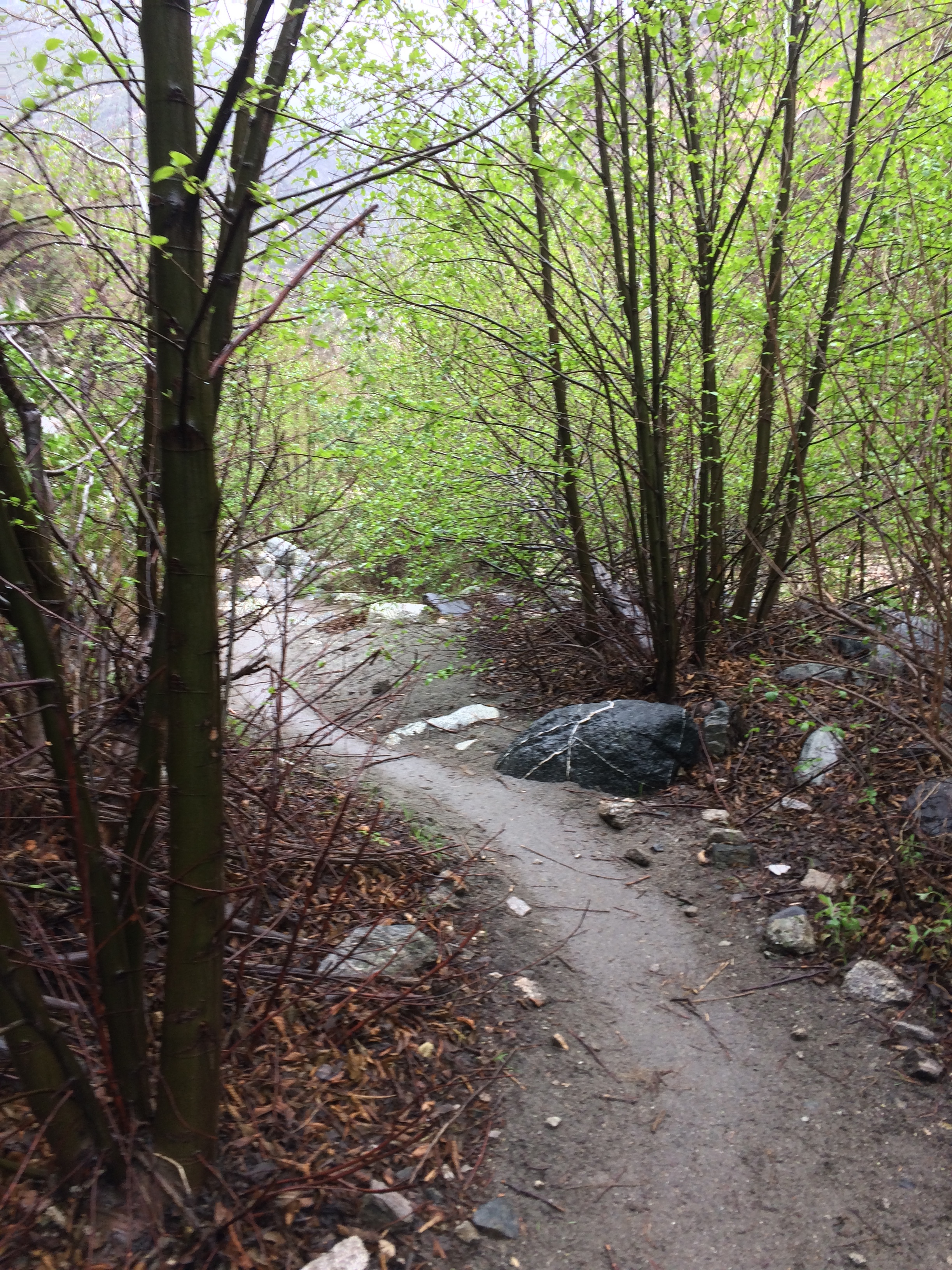
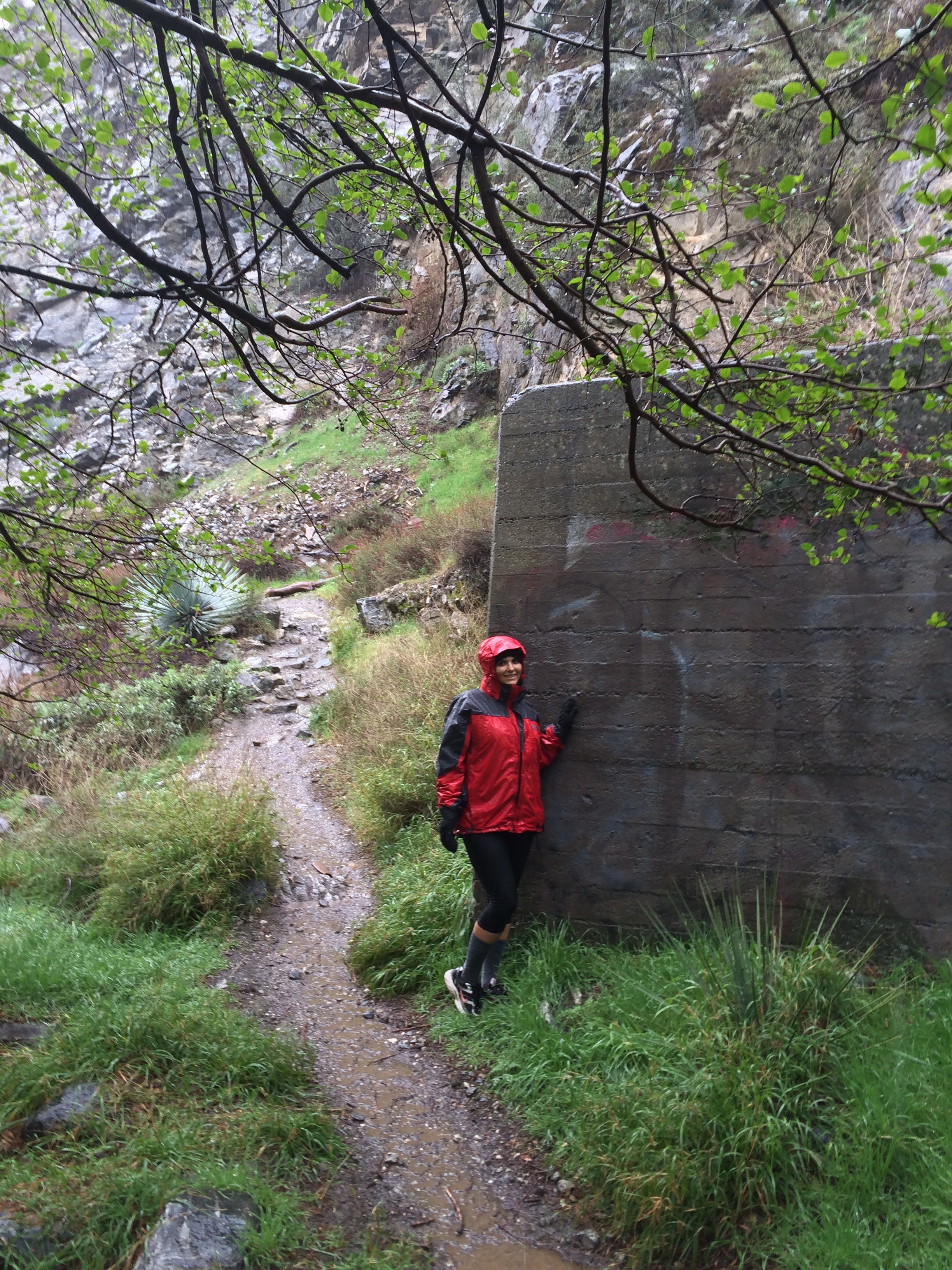
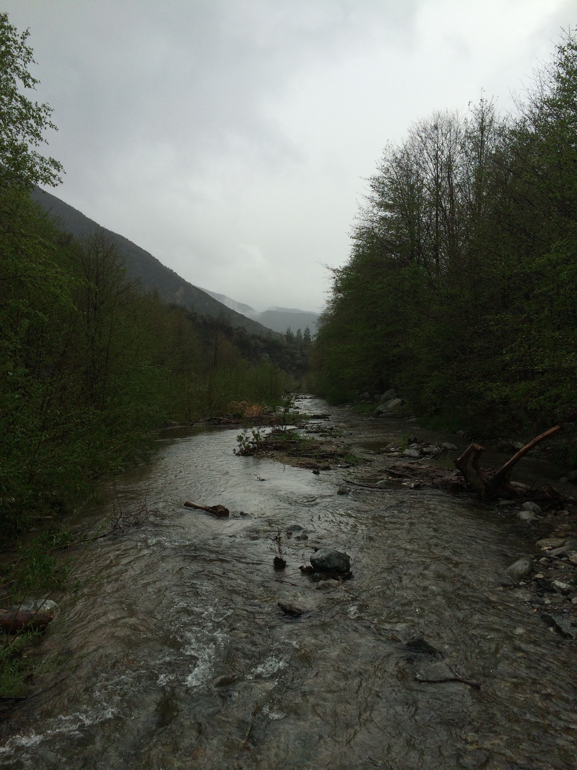
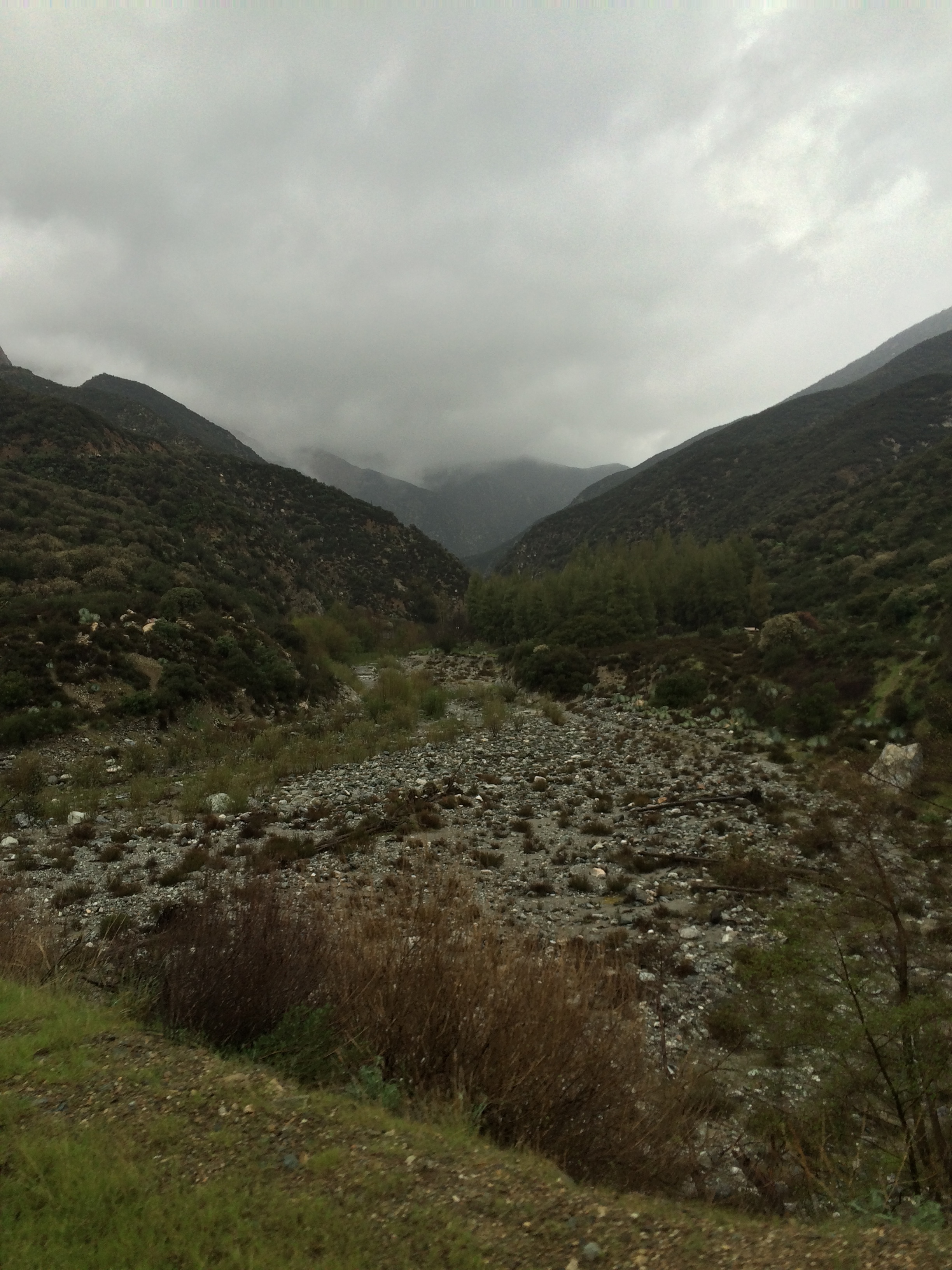
The trail starts by heading down a fire access dirt road, which provides great views of the San Gabriel Mountains, and descends over the first half mile to the East Fork of the San Gabriel River. At the half mile mark, the trail passes Heaton Flat Campground, before cutting across the river valley itself. From this point, depending on conditions, hikers, walkers, and anyone attempting this trail may get wet. The rationale for this is that past Heaton Flat, the trail crosses – and re-crosses the San Gabriel River several times. Depending on the season (and year), these crossings may be negligible, or they may require ankle to hip-deep wading. For the next three miles, the trail passes through lush growth and trees, and the occasional scenic seasonal waterfall along the river, along with some of the remnants of the East Fork Road. At the three and one half mile mark (3.5), the trail ascends steeply up the side of the canyon over the course of a few switchbacks. While this climb is not insurmountable, it is the most difficult portion of the hike. At the 4.5 mile mark (1 mile after the canyon climb), hikers will find themselves on the boundary of the Bungee America inholding, which is well signed. From this point, the trail is readily apparent, and slightly ascends to the actual bridge. While the bridge is on private property, hikers and all other non-bungee parties can access the bridge without charge or difficulty as long as they do not interfere with the operations of Bungee America. From the bridge, hikers can cross to the far side, and descend down to the San Gabriel river to swim, or can simply just relax next to or on a historic relic. The return to the trailhead is by the same trail, and this hike is a moderate ten mile (10) roundtrip hike.
Tips: As this is a very popular hike, the East Fork Parking lot fills up regularly on weekdays and weekends, especially as the parking area is also the staging zone for Bungee America. Visitors should plan accordingly, and not park in zones that are not part of the lot, as the Forest Service will and does ticket illegally parked vehicles regularly. Hikers should also not attempt this hike during the winter months during heavy rain, as the course of the trail is along and through a floodplain. Hikers in the summer should also be properly prepared for high temperatures in the area that regularly reach 85-100 degrees with minimal shade along the course of the trail. Even though this is a popular hike, and does have a variety of footpaths leading off of the “main route”, this is one of my favorite hikes in Los Angeles, as it goes through a number of terrain types that are not common to the Southern California region. Finally, even if one doesn’t want to jump at Bungee America, it is a great experience merely watching people attempt the 125 foot plunge.