Badwater Basin
Of the fifty-nine National Parks in the United States, Death Valley is the most infamous, and the least well known. Most people assume that Death Valley is an inhospitable wasteland, with nothing of interest to see or do. However, outdoorspeople, geologists, and adventurers know that Death Valley is a location with interesting geologic features, mining history, tall mountains, sand dunes, volcanic activity, historic structures, and much more. Even if it did not have all of these things and more, Death Valley is a notable location to visit because of Badwater Basin.
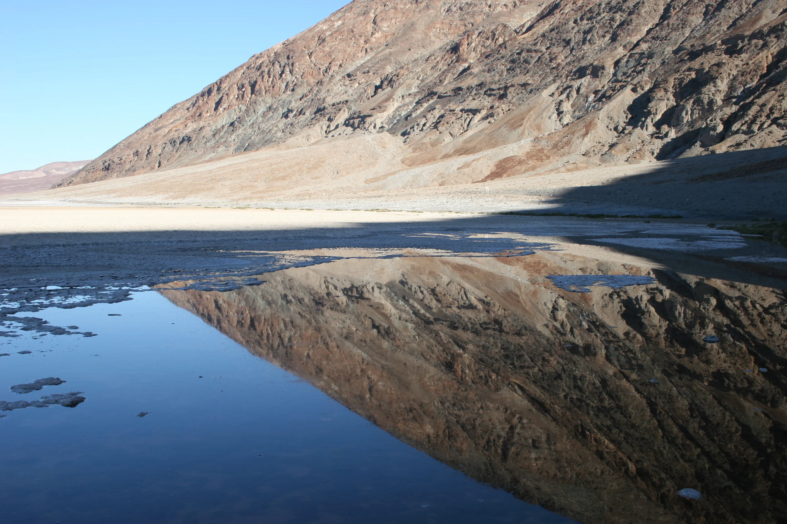
Salt Flats, Badwater Basin
Badwater Basin – or simply “Badwater” was named by an unknown prospector who was exploring the area in search of valuable minerals (before it was a National Park, Death Valley was an active mining area for hundreds of years, with many colorful figures, such as Alexander “Shorty” Borden and Walter Scott). According to his account, when he reached the pools of water in Death Valley proper (now Badwater), the water was so stagnant and foul that his mule refused to drink it, despite the extreme heat. At that moment, the pool of water was named “Badwater”, and the area around it, “Badwater Basin”, a name that carries on through present day.
Badwater
What the prospector did not know at that time was that he was traversing – and exploring a point substantially below sea level. Years later, it was revealed that the Badwater Basin – and Badwater were the lowest points not just in the United States – but North America as well at -282 feet below sea level. Another interesting bit of trivia is that the highest point in North America – Mount Whitney (14,505 feet elevation) is only one hundred miles to the West of Badwater. While Death Valley does have varied terrain, as discussed above, the Badwater Basin fits the mental picture that the public has of the park – desolate, flat and hot. While the geology of this area of the park is somewhat complex, the salt flats of the region are the result of the evaporation of glacial Lake Manly. The unique salt crusts that have formed in the area are the result of this process, as well as the ongoing high rate of evaporation that the area possesses.
Salt Formations, Badwater Basin
Directions: Badwater Basin is located directly off of California State Route 190 (“Death Valley Scenic Byway”), and is seventeen (17) miles south of Furnace Creek. From the parking area on the side of the road, visitors can view the pool of “Badwater” which varies in size depending on the time of year, and the rainfall present in the area, and walk out into the salt flats of the basin. Of note is a large sign on the cliff immediately behind the parking area, some 279 feet higher that reads “Sea Level”. The area is accessible to all skill levels of hikers.
"Sea Level" sign at Badwater Basin
Tips: From March through late October, temperatures in the region can spike above 110 degrees on a regular basis. Visitors should be prepared for the extreme heat, even on a short walk into the basin. During the winter months, the area is less popular, but also busy, given that it is the lowest point in North America. For visitors looking to go a little off the beaten path, the Devil’s Golf Course offers some interesting formations, and a chance to see large (and intermittent) saline pools.