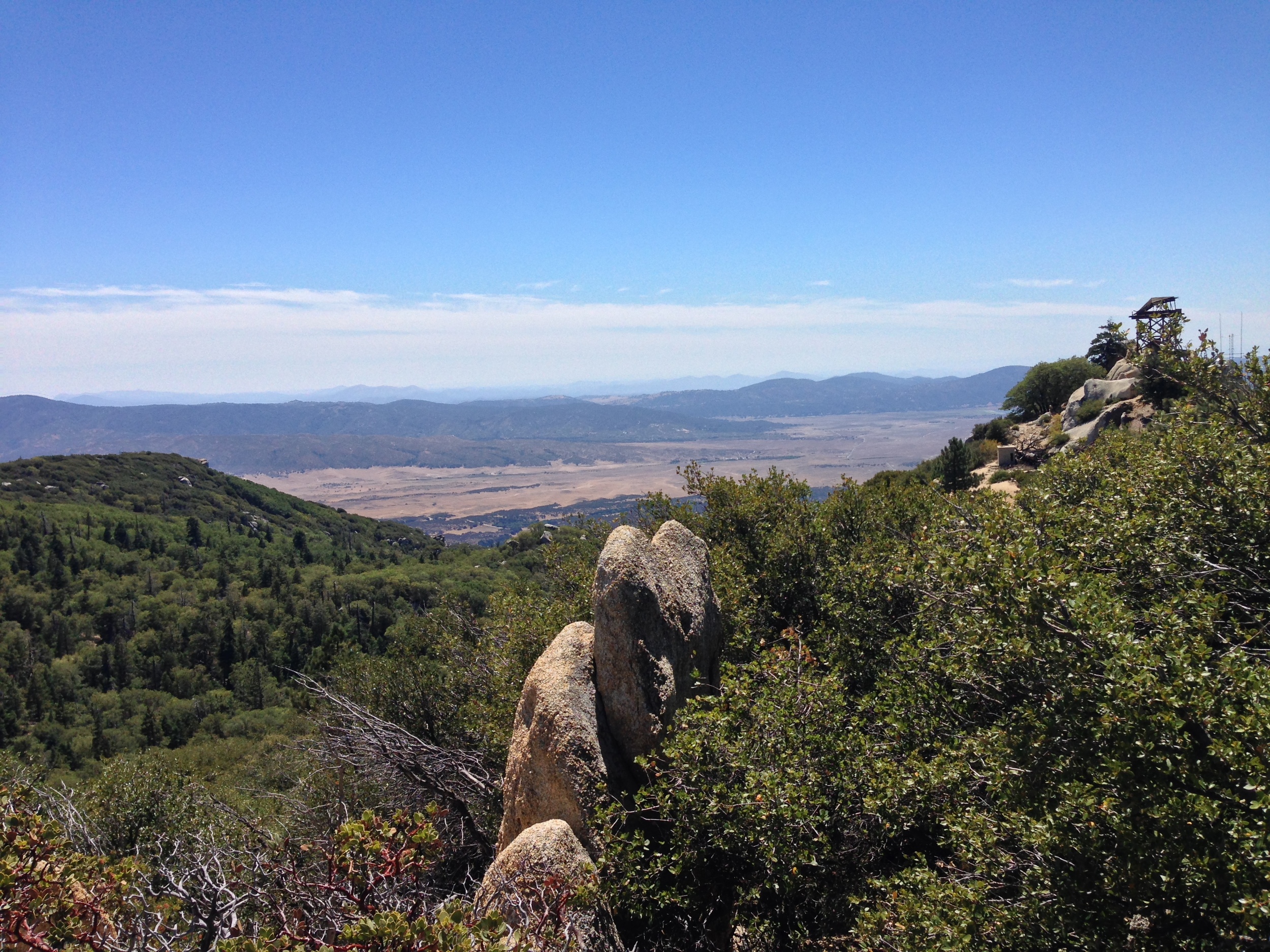
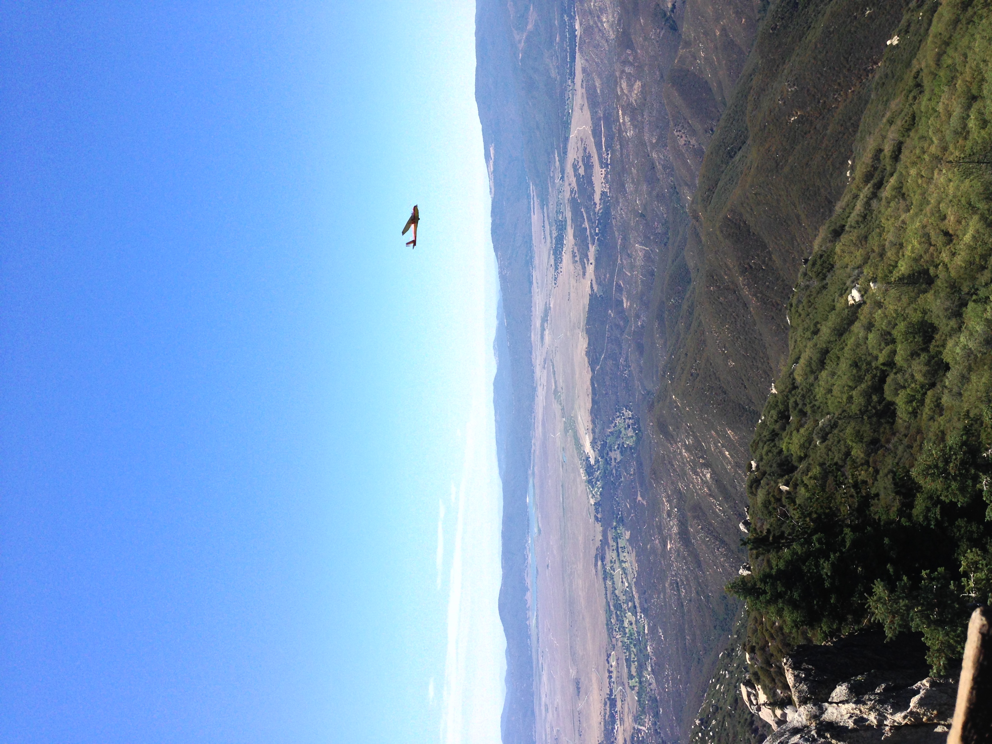
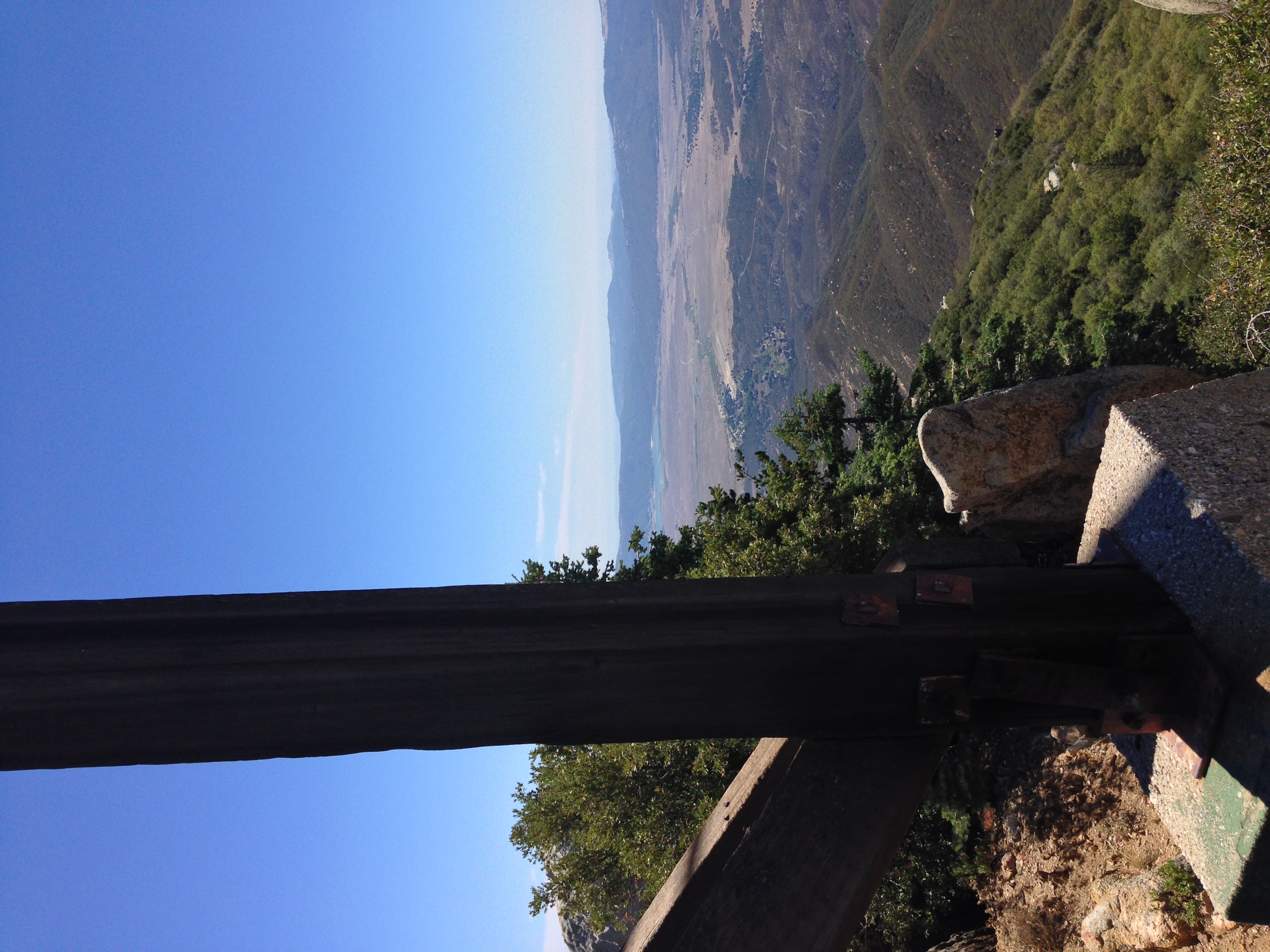
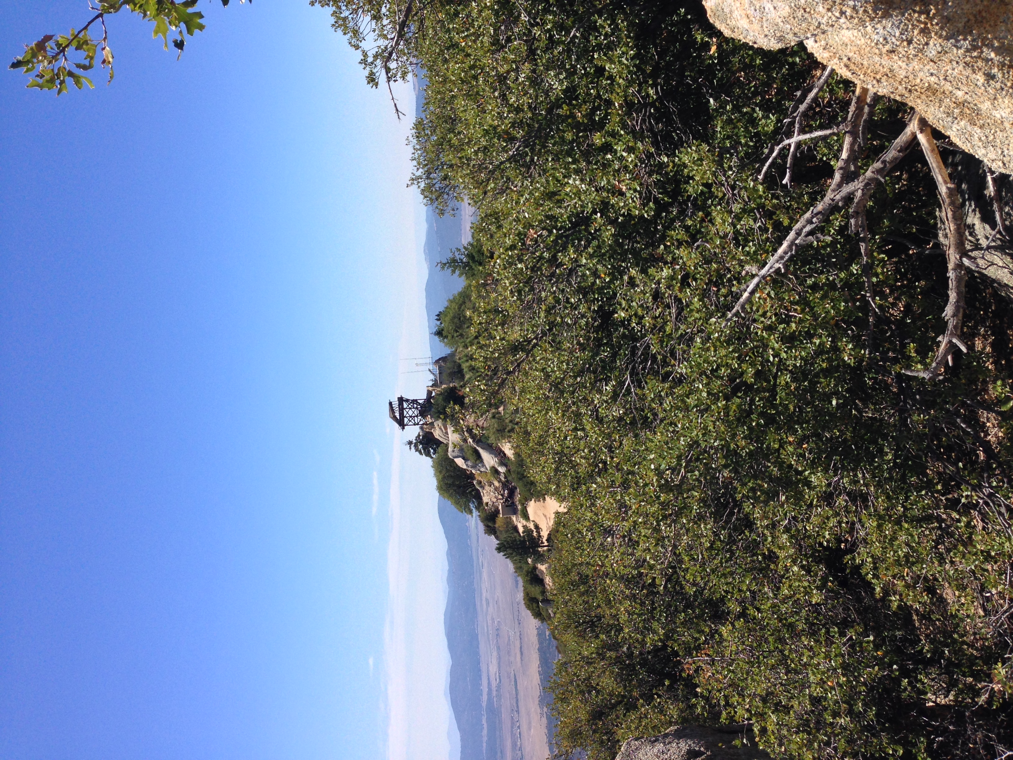
View from the ruined Fire Lookout on Hot Springs Mountain, August 2014
One of the lesser known facts about San Diego County is that it is an area with a hundred named peaks. While some of these peaks are on the small side – just over 1,000 feet – others range from two to six thousand feet and higher. Even though there are a hundred peaks in San Diego County, most of the hiking activity is concentrated on five peaks: Cowles Mountain (highest point in the City of San Diego proper), Woodsen Mountain (home of the infamous “Potato Chip Rock”), Iron Mountain, Stonewall Peak, and Corte Madera Mountain. While all of the top five hikes are great hikes, they are also hikes that have year round-crowds due to their popularity. Interestingly enough, San Diego’s tallest mountain – Hot Springs Mountain – does not make the list of the top five hikes in the county; but in my opinion it should, as it is a great hike that has a number of things that the top five hikes do not, including a ruined fire lookout tower, solitude, and great views of the surrounding area.


Facts: At 6,533 feet, Hot Springs Mountain is the tallest peak in San Diego County, and is twenty one feet taller than the second tallest peak, Cuyamaca Peak (6,512 feet). Hot Springs Mountain is tucked away in the far Northern corner of San Diego County off of Highway 79 in Warner Springs. Unlike the rest of the hundred peaks of San Diego County, Hot Springs Mountain is on private land, the Los Coyotes Indian Reservation. From 2000-2004, Hot Springs Mountain was closed to the general public because of off-road damage from visitors to reservation land. In short, the actions of a few foolhardy people ruined access to a pristine area for everyone else. Fortunately, since 2004, access to Hot Springs Mountain and the reservation has been granted by the tribe to the public on weekends and holidays. It should go without saying, but since there were issues in the past, I will say it – visitors to the reservation should treat the land as they would any regional, State or National Park, especially as the land in this case is the ancestral home of the Los Coyotes Band of Indians who have elected to preserve the 25,000 acres of their reservation in a pristine, undeveloped state.
Directions: From Highway 79 in Warner Springs, turn onto Camino San Ignacio and follow it east for five miles. At the five mile mark, you will come to a stop sign on the Los Coyotes Indian Reservation. At this point, you will need to stop, and enter the entrance station to the right (South). There is a $10.00/vehicle entrance fee for the reservation; and the tribe requires that you register your vehicle for the day. At this point, the tribal official will also provide you with a handy map of the reservation. One of the interesting things about Hot Springs Mountain is that there are two ways to summit the peak – via the dirt road (a drive up approach); or via the Nelson Camp trail. If you are interested in taking the drive up approach, the road to the peak is located immediately after the entrance station, and is a 7.6 mile 4WD road. Hikers and bikers can also climb this road; but if you are interested in a more secluded and shorter hike, what I will call the “Nelson Camp” trail, you will want to continue into the reservation.
When I hiked this route this last weekend with California Through My Lens’ Josh McNair, we found the way to this trailhead popularized by the late Jerry Schad the most difficult portion of the hike. The best way I can describe getting to the Nelson Camp trail is the following: follow the road from the entrance station past the campground, where it becomes a graded dirt road. The road will wind up to an area overlooking the Salton Sea, before descending into a valley. Once you are in the valley, there will be a readily apparent Y-intersection. At this point, do not turn left – that road leads to a private residence. Instead, follow the road straight (and to the left – South). You will know you are heading the right way as the road will wind up past two open air structures before ending up at a slight saddle. At the top of the saddle, there is a small parking area to the South, and from the parking area, there is an old undriveable road. This is Nelson’s Camp; and this is where the hike starts. While this is somewhat difficult, with these directions and the map provided by the reservation, you should have a much easier time than Josh and I did!
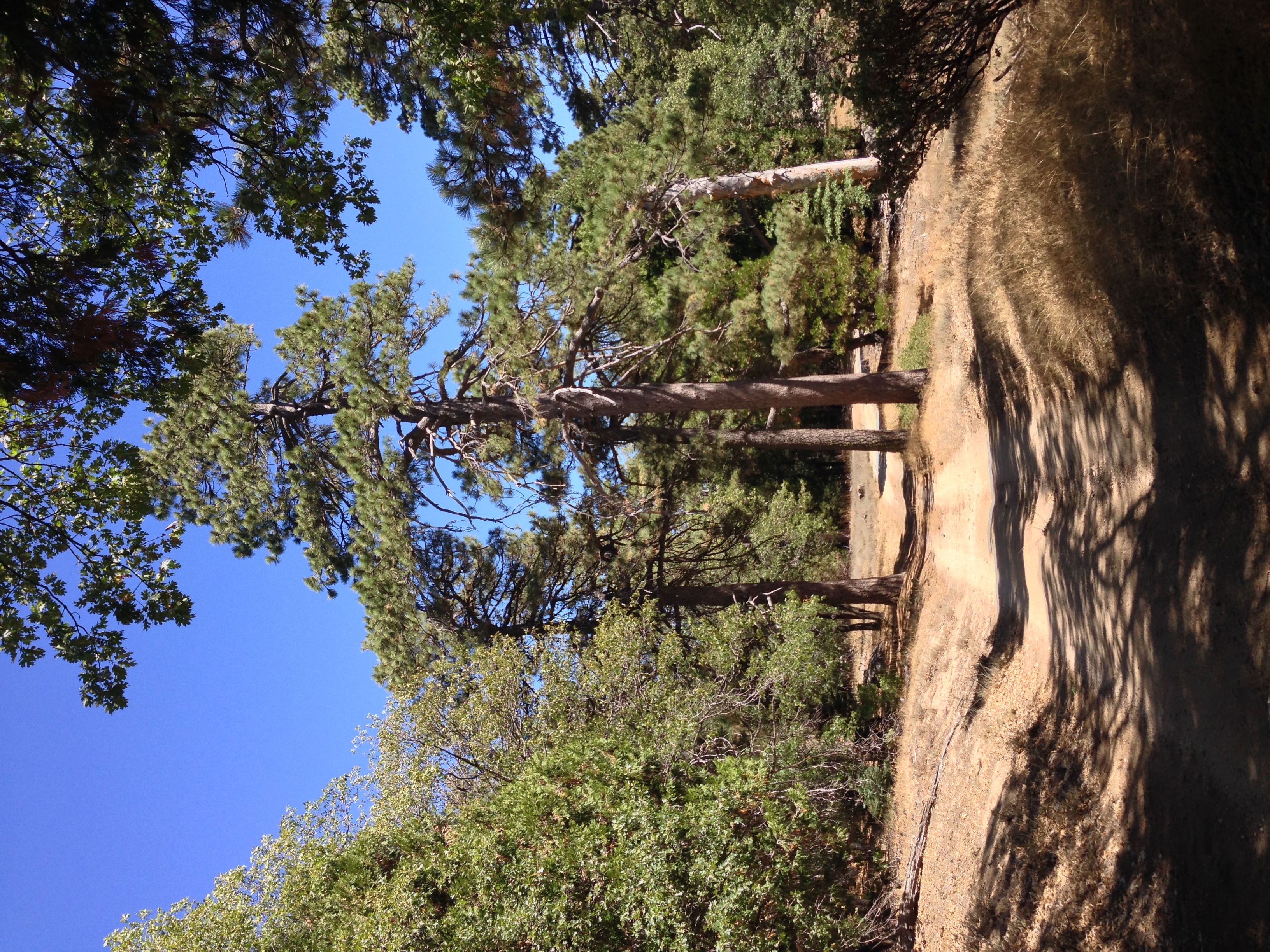
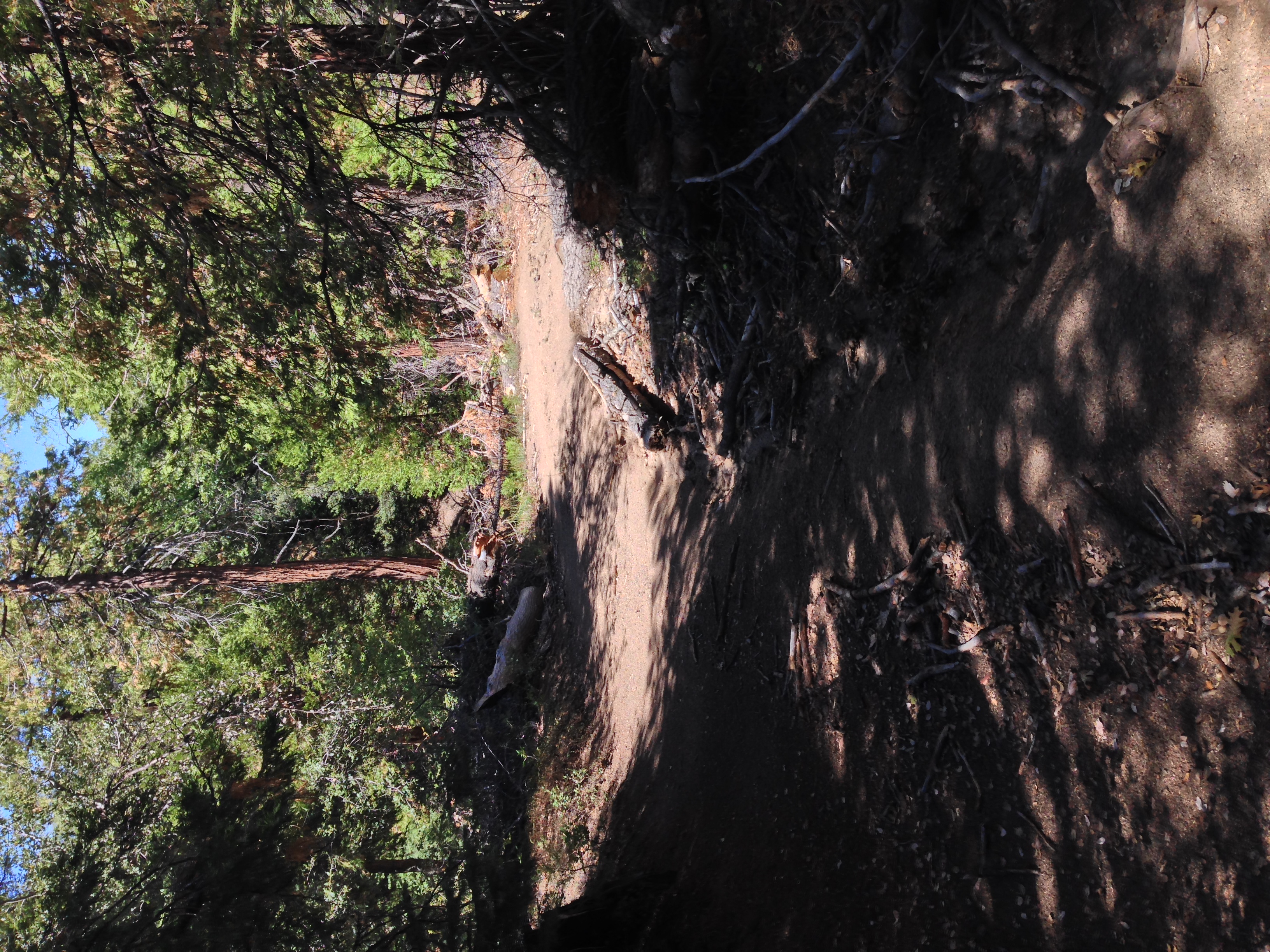
From the parking area, follow the trail uphill to the Southwest. After a short distance, you will soon find yourself in the forest on the North side of the mountain. Although the trail is not marked, there is no danger of losing the route as it is an old primitive road. You will also know that you are on the right route because you will pass over an old – and now mostly buried chassis of a vehicle that became stuck over forty years ago. For 1.2 miles this section of trail ascends the mountain, and during this time, you will gain 800 feet of elevation. While this may sound steep, this is a great section of trail that is heavily forested, and does not feel like San Diego County. This is also a great spot to view wildlife due to the solitude that exists in this remote corner of the Los Coyotes Reservation.
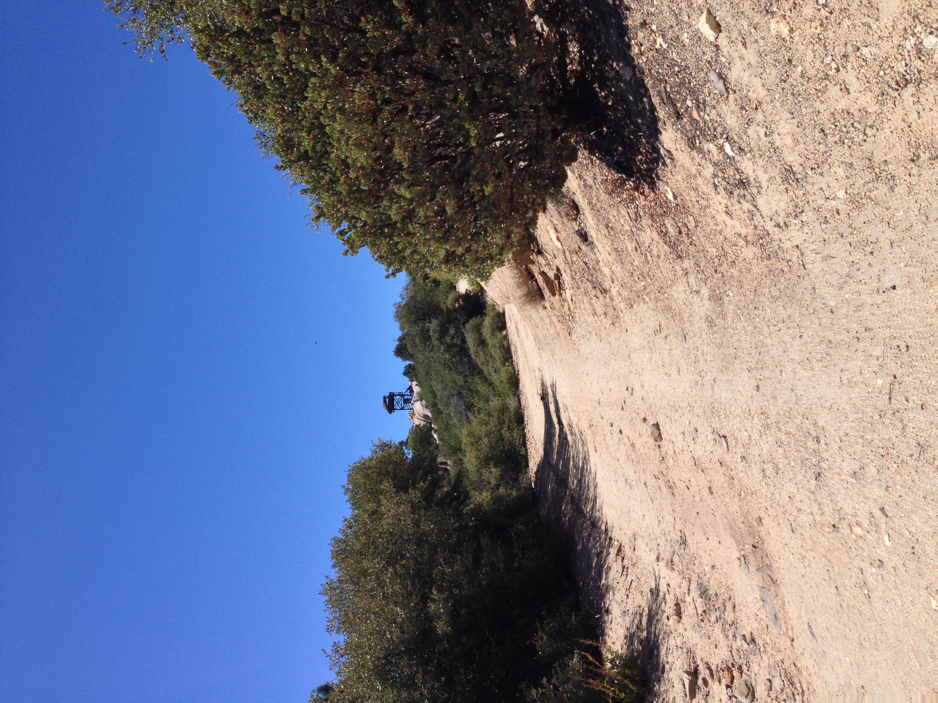
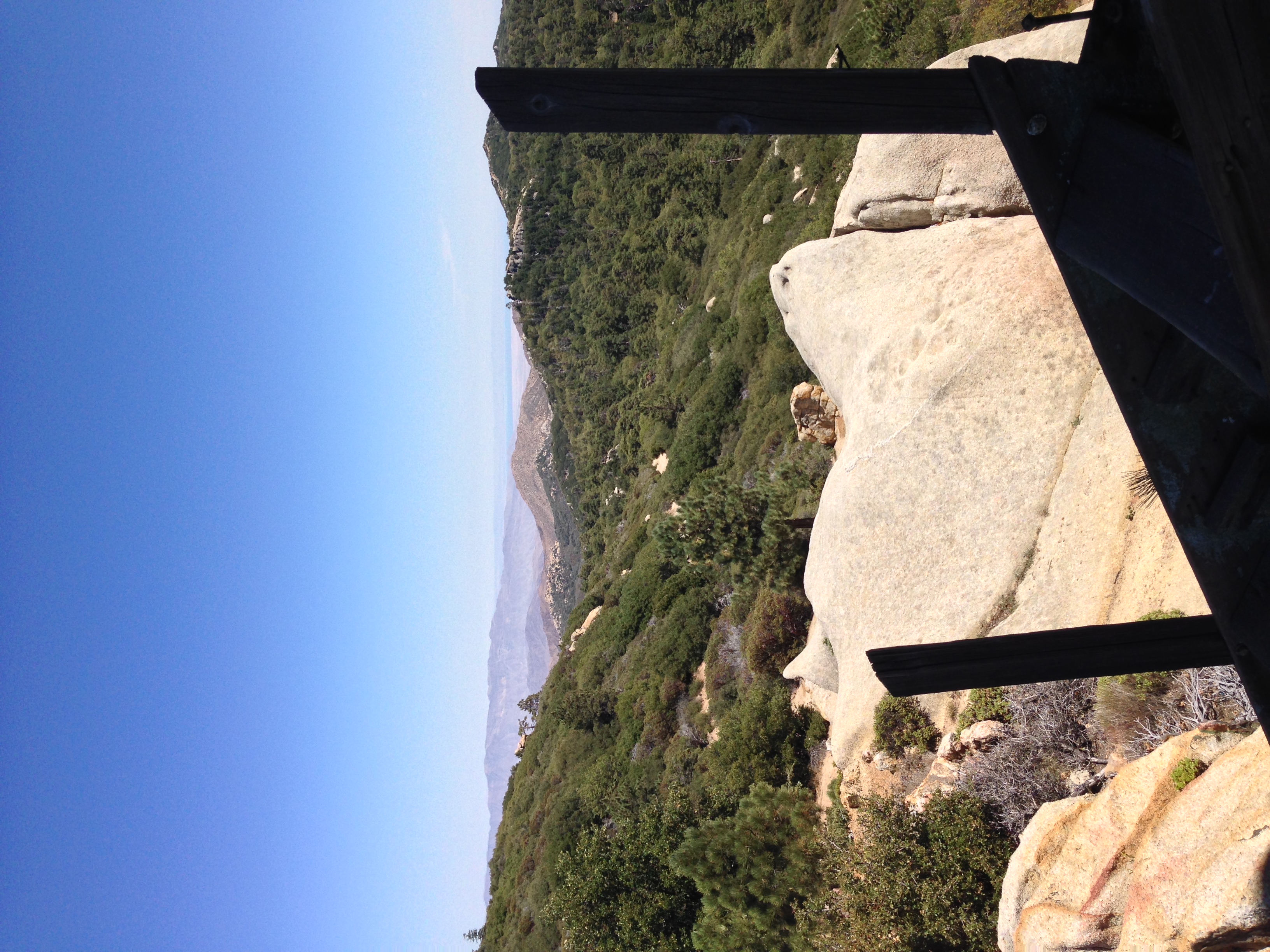
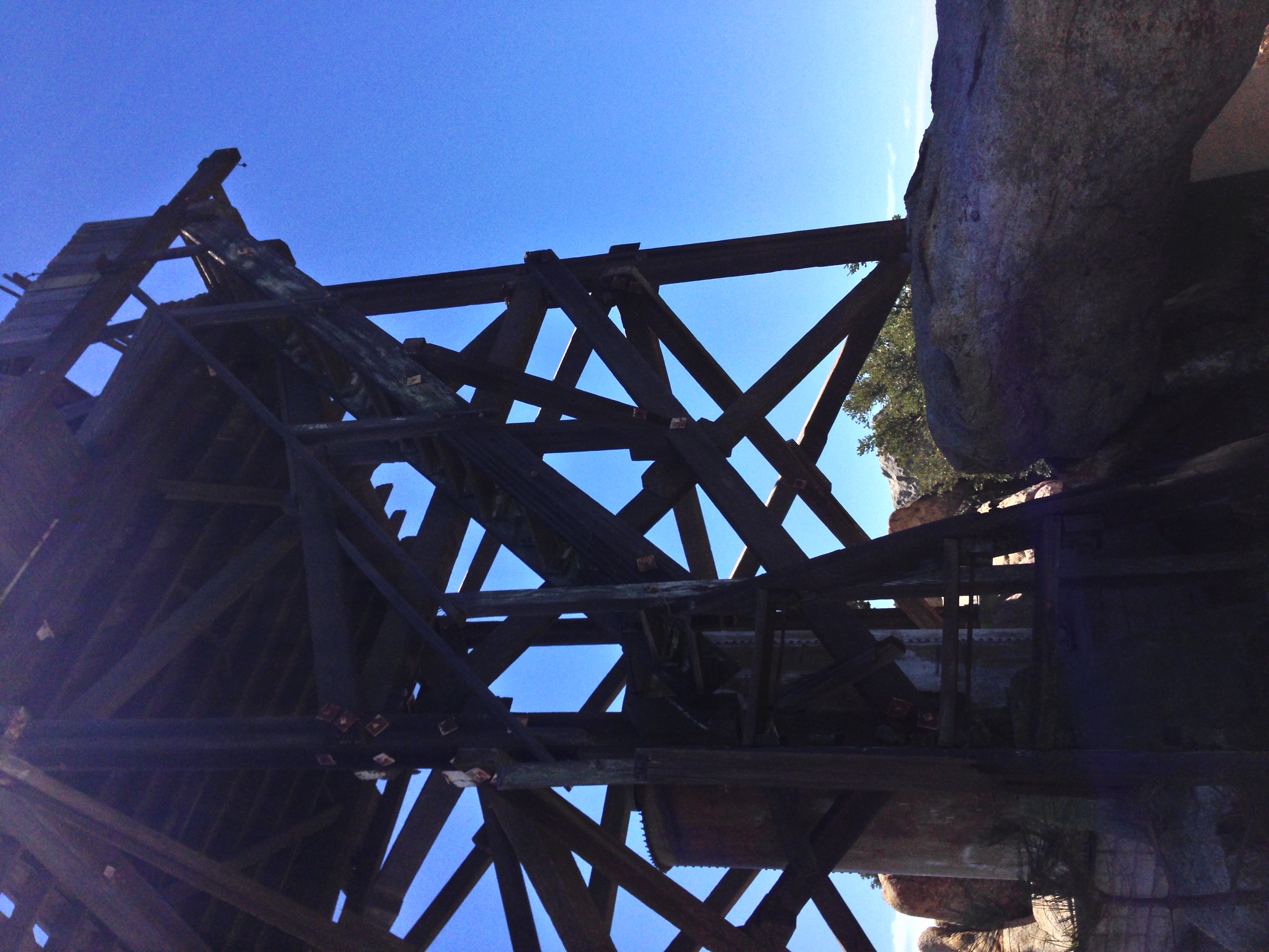
At the 1.2 mile mark, the primitive road will intersect with the actual “Lookout Road” that starts near the entrance station. Turn right (South) onto the road, and continue along the ridgeline of Hot Springs Mountain for 1.4 miles. Do not be tempted as Josh and I were to follow the various dirt road tracks that occur along the road – these lead to camping areas, or dead ends. At the 2.6 mile mark, the road turns to the West, and you will have a great view of the Hot Springs Fire lookout, near the summit of the mountain. From this point, the road ascends gradually for .2 miles to a parking area. From this point, you can explore the ruined Fire Lookout which is just shy of the summit, or head up to the summit, which is located just to the North of the parking area. The trail to the summit of Hot Springs is overgrown; and the view from the summit is mostly occluded with brush and trees. But if you are looking for a great view, stop by the lookout, from which you can see the Pacific Ocean on a clear day, and the surrounding terrain, including Palomar Mountain to the West. Once you are done, head back the way you came for a 5.8 mile roundtrip hike that will likely provide you with the most hiking solitude you have experienced in Southern California for a long time.
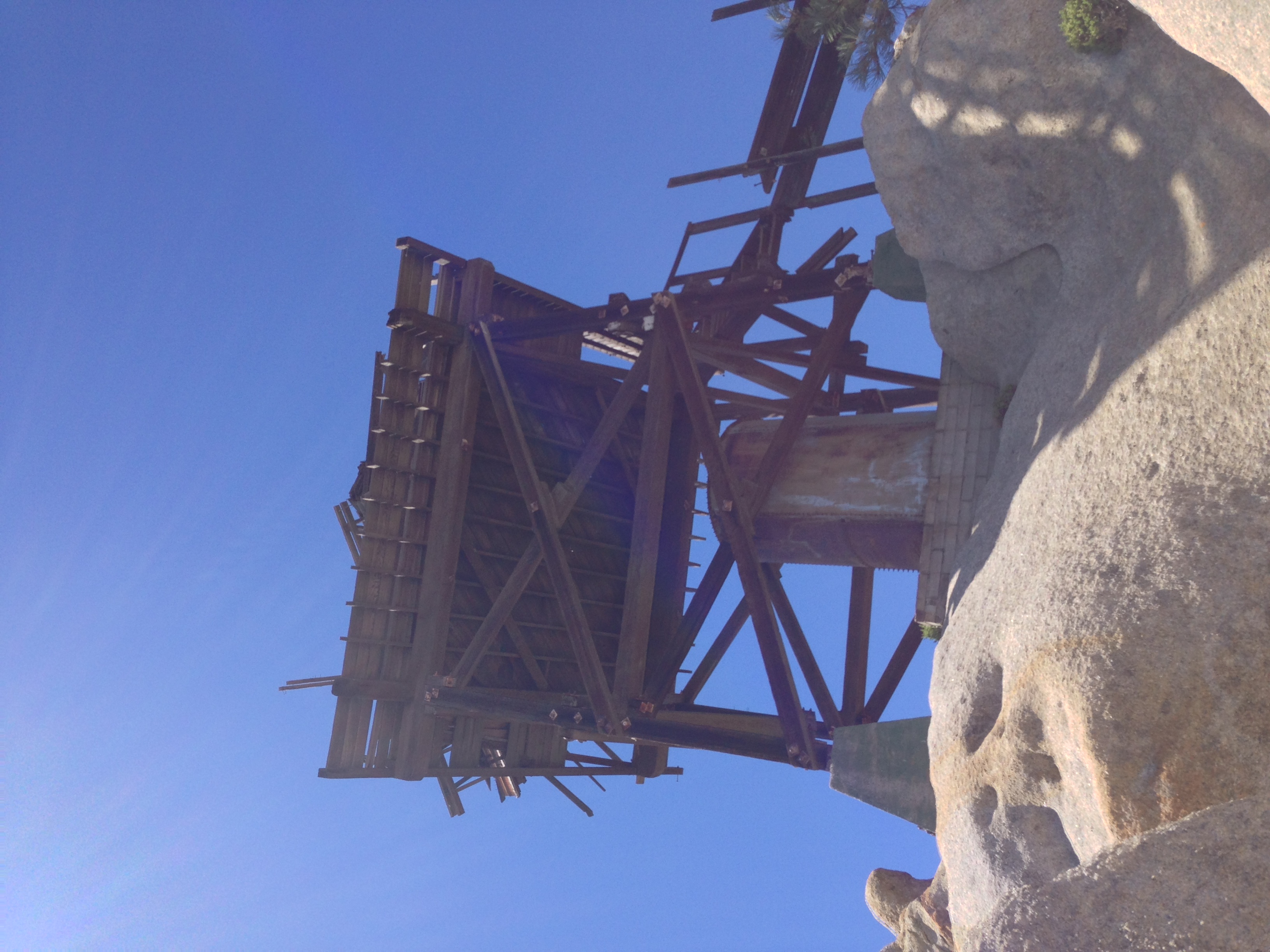
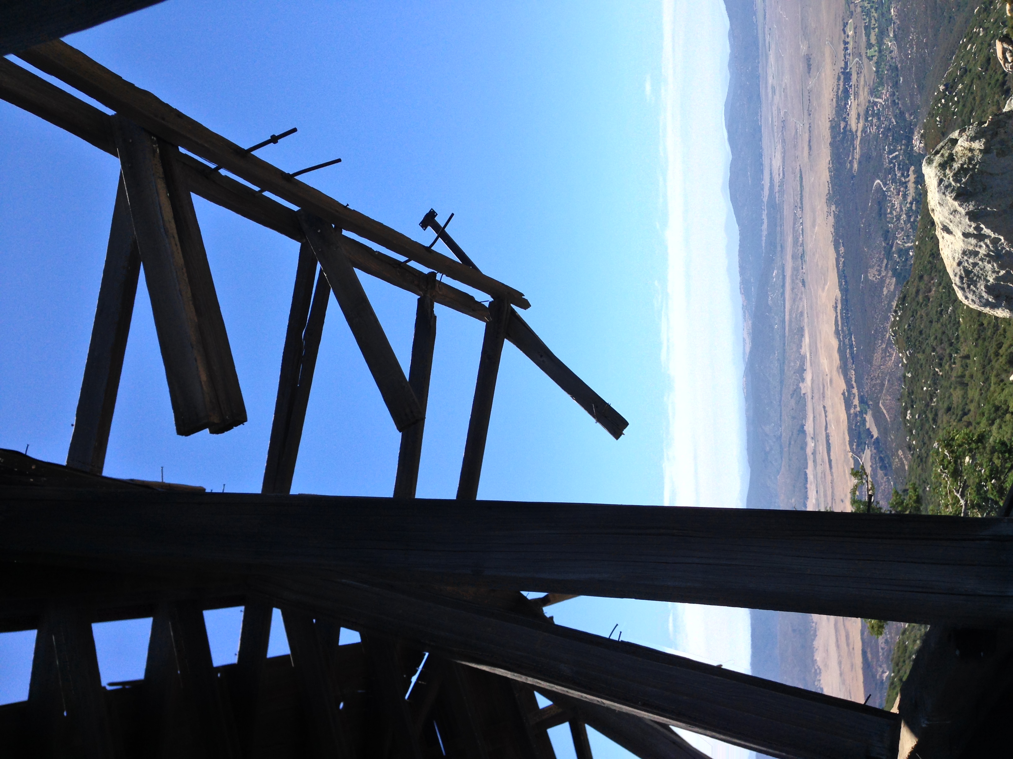
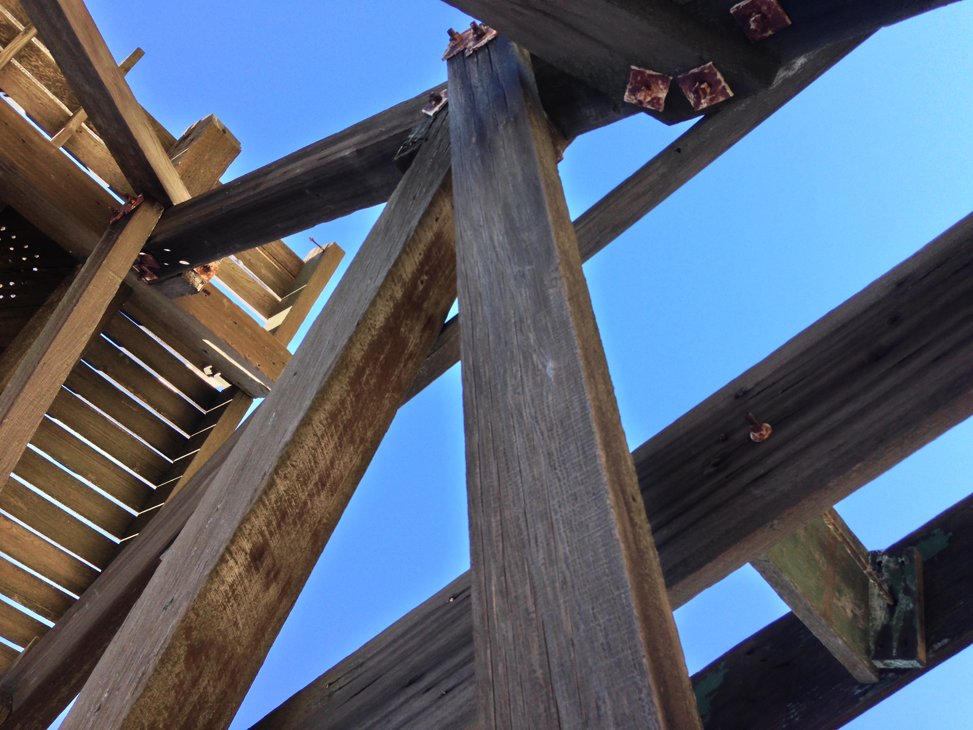
Tips: The Fire Lookout on Hot Springs Mountain has seen better days, and is partially collapsed as of August 2014. Many of the steps on the stairs are missing; and I suspect that the structure will not survive much longer. Be aware that any ascent of the structure is at your own risk in a remote area with few people. The view from the lookout, however, is a great spot to see the gliders from the Warner Springs Gliderport below.