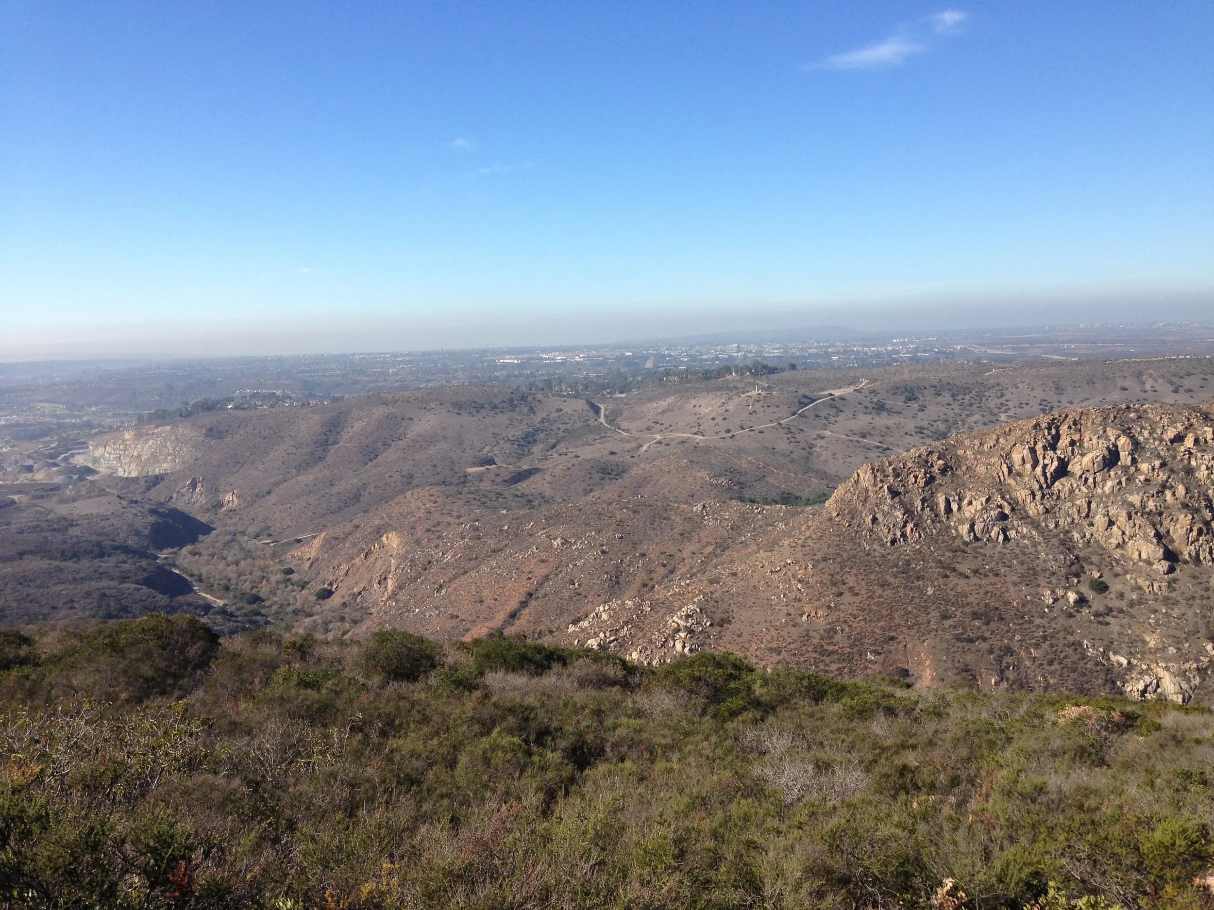
If I was to ask you where the largest municipally owned urban park in California was located, chances are that you’d draw a blank. If I was then ask you where the sixth largest municipally owned urban park in the nation was, chances are you’d have some guesses, but you’d still be wrong. The answer to both questions, however, is the same: I am talking about Mission Trails Regional Park, which is located in San Diego, California. At 5,800 acres of open space, Mission Trails does feel more like a state park or national park, but it is in fact owned by the City of San Diego. I could go on and on about the particulars of Mission Trails, about how the park has secret seasonal waterfalls, great climbing, and a couple of hidden ponds, but perhaps the most challenging workout within the park is its best secret; and that workout is the ascent up to Kwaay Paay Peak.
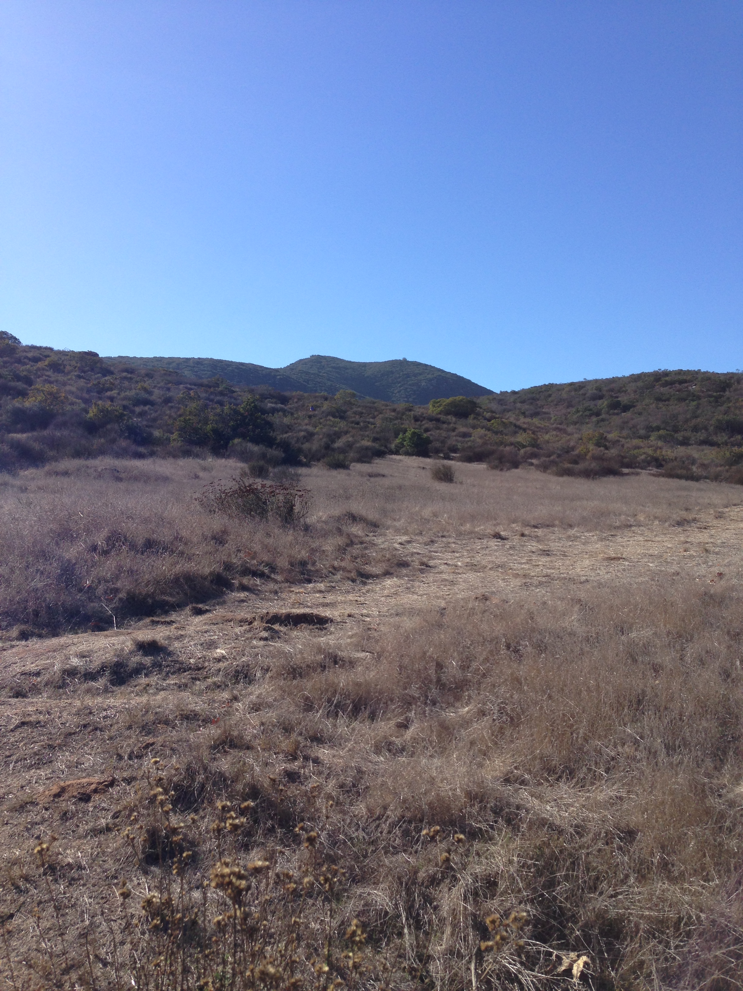

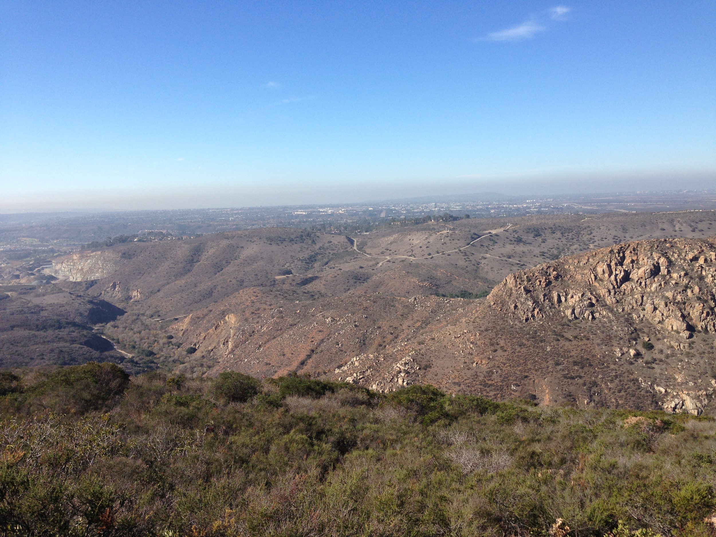
Kwaay Paay Peak is not the tallest mountain in Mission Trails; that distinction belongs to Cowles Mountain, which is the tallest in the city of San Diego at 1,591 feet of elevation. The hike to Kwaay Paay Peak is also not the longest summit approach in the park; the longest summit approaches are for North and or South Fortuna, which, depending on the trail selected, range from four to six miles roundtrip. Kwaay Paay Peak is the fourth highest mountain in the park; and it also has the best views of the San Diego River Valley to the Northeast and the Pacific to the West. Most importantly, Kwaay Paay Peak has the most elevation gain of over the shortest distance of any of the trails in the park. Over the course of 1.1 miles, the trail ascends 865 feet! So, if you are interested in a challenge – or, if you’re interested in training for a larger mountain, this is the trail for you.
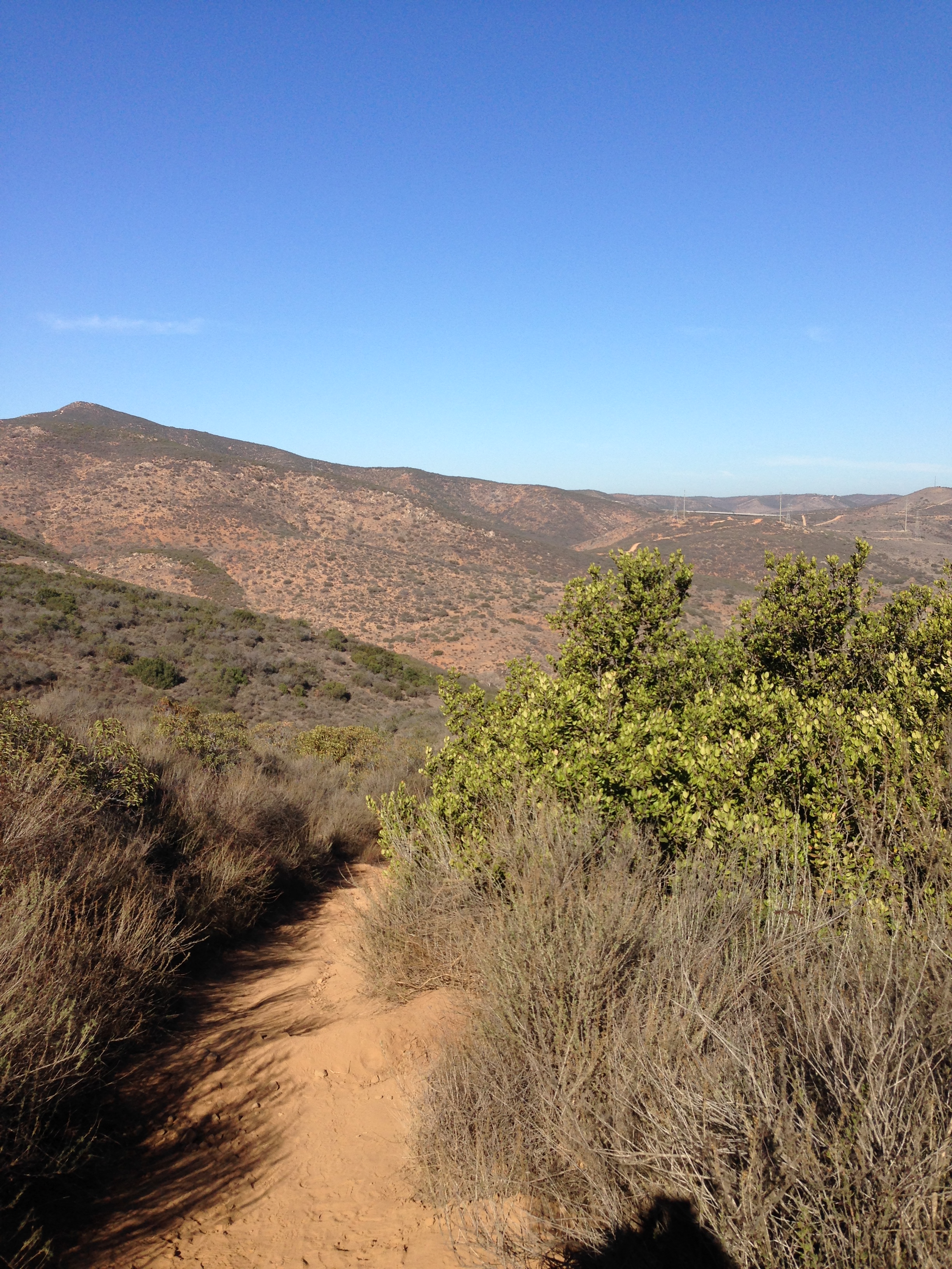
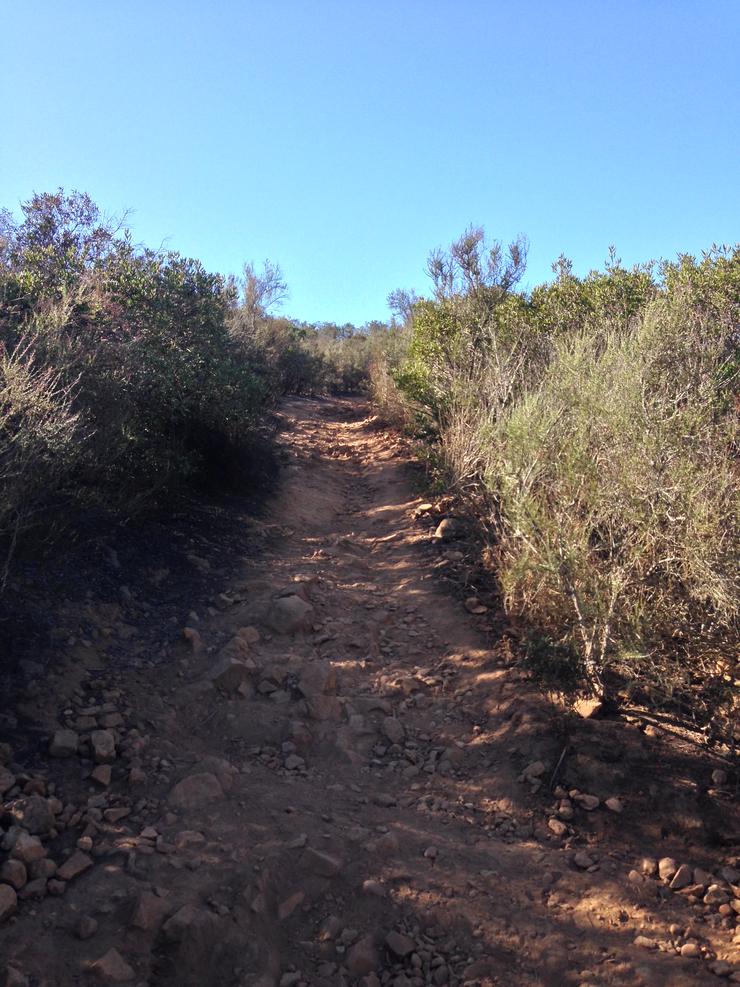
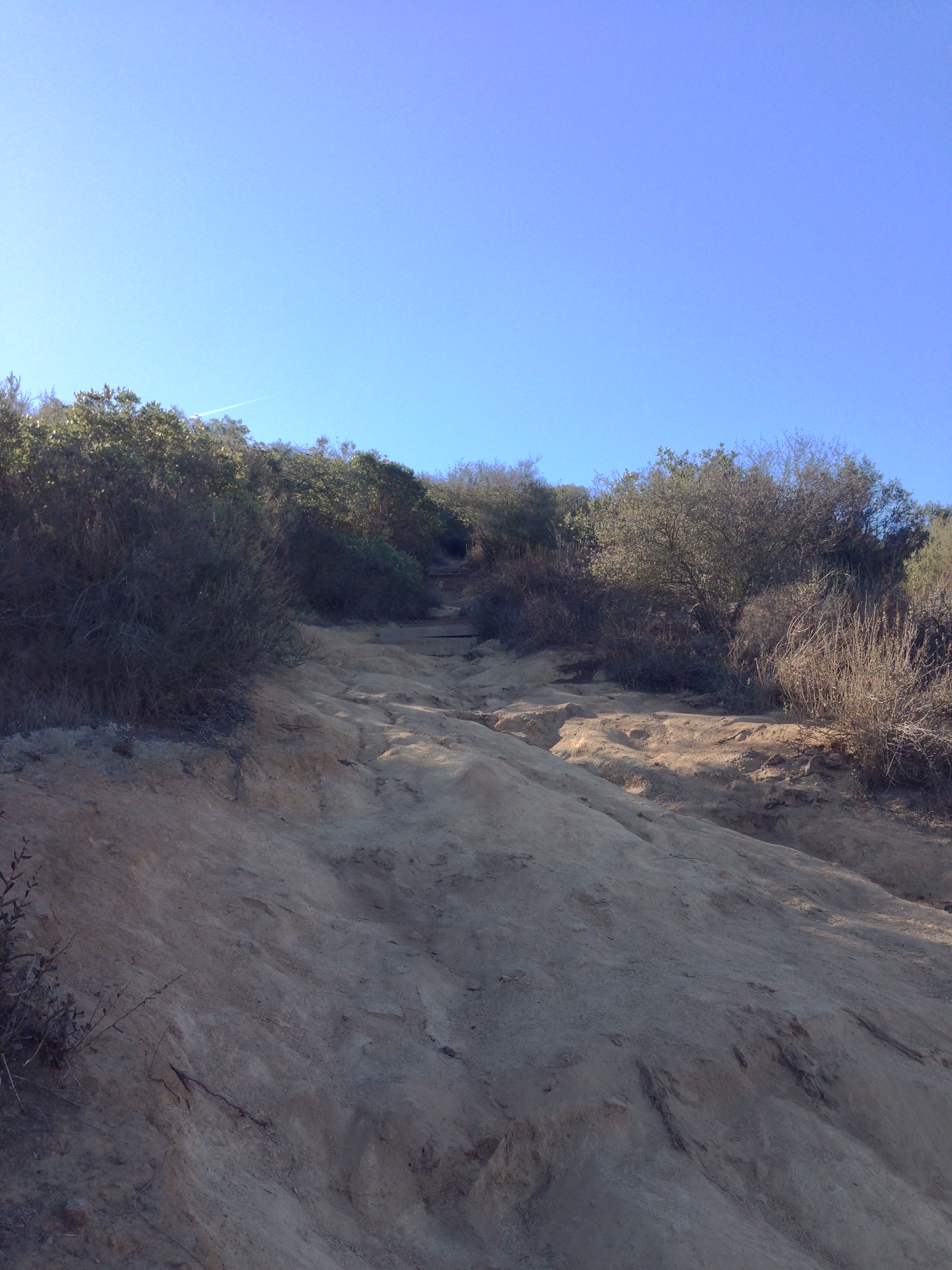
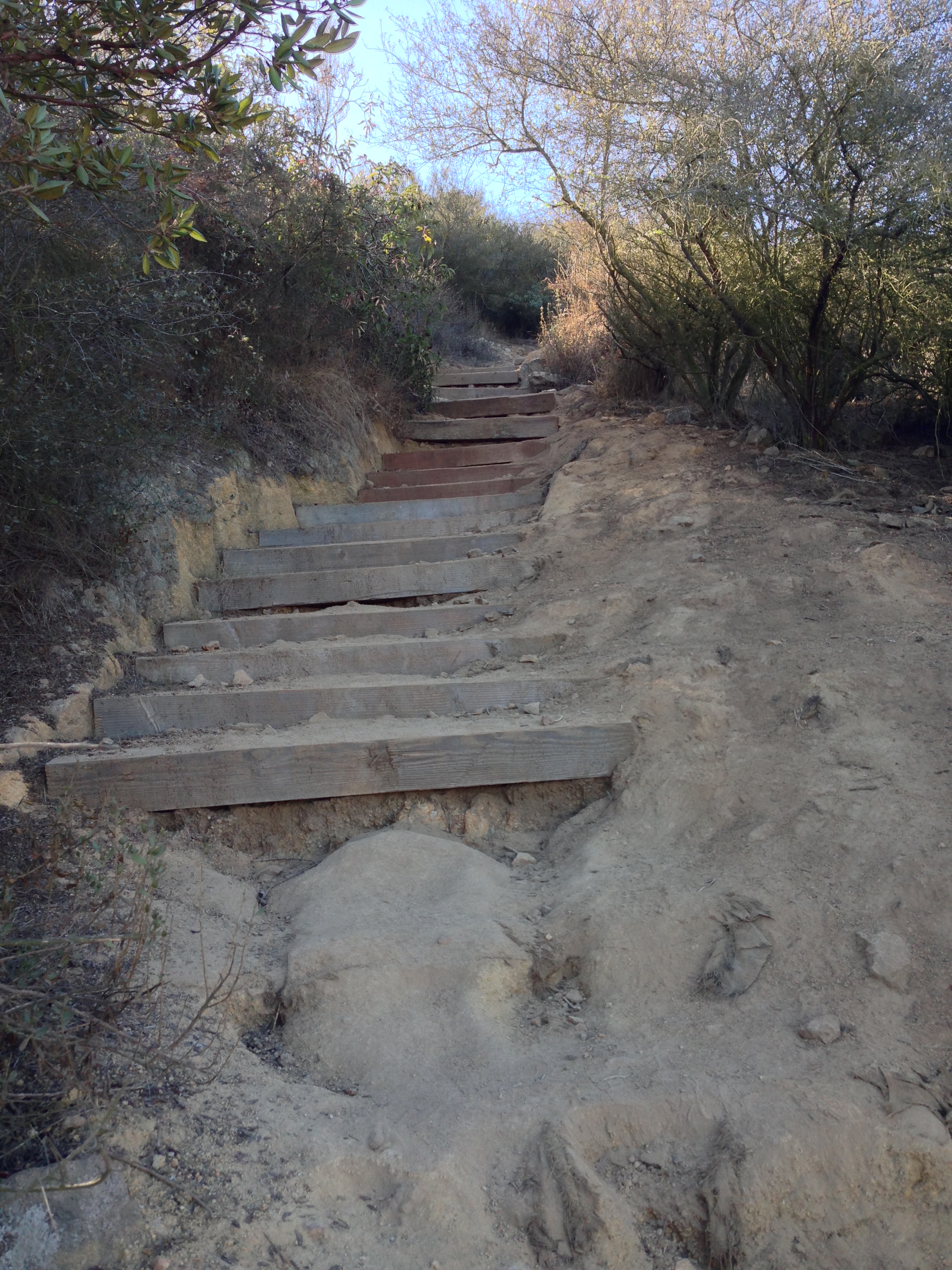
Directions: The Kwaay Paay Peak trailhead is located directly across from the Old Mission Dam in Mission Trails Park. While Kwaay Paay Peak is not generally sought out by many hikers, there is limited parking at the Old Mission Dam area; and the lot is generally full because it is a common access point for other trails and other day use. However, it is also usually possible to find parking along Father Junipero Serra Road near the trailhead, even on busy weekends. From the trailhead, the trail is readily apparent, well-marked, and the path to the summit is obvious. In fact, there is not much for me to tell you about this trail other than the obvious, which is this: that in order to ascend 865 vertical feet in 1.1 miles, the trail is steep. Unlike Cowles Mountain, which breaks up a lot of the elevation gain in a series of looping switchbacks, the Kwaay Paay Peak trail has several sections of straight vertical gain; including the last .3 miles from the “saddle” to the summit, which ascends steeply through a section of coastal chaparral. The payoff is a series of great views, as discussed above, and the accomplishment of having conquered a real leg-burner of a hike, or run.
Tips: This is not a trail with a lot of shade, and as it is strenuous, any potential hiker should bring plenty of water; and get an early start if possible to avoid hot temperatures. Finally, in my opinion, this hike is vastly superior to the most popular hike in San Diego, Cowles Mountain. In terms of distance, Cowles Mountain is a longer hike: 3 miles roundtrip to 2.2 miles roundtrip for Kwaay Paay Peak. And, while a hiker will gain 933 feet of elevation on Cowles, this gain is spread out over a longer distance. The deciding factor for me though, is the crowd factor. Cowles Mountain is the most popular hike in San Diego, hands down. No matter what time of day it is, Cowles Mountain always has people on it. In contrast, Kwaay Paay Peak is only a short distance away, and rarely – if ever – has a crowd. This final factor for me makes Kwaay Paay a better hike or run, with just as much challenge. Try it for yourself; and if you don’t like it, don’t worry: I’ll continue to enjoy the relative solitude that this hike provides.