
Sierra Nevada Range, Grass Lake, John Muir Wilderness, Meysan Lake Trail
Climb the mountains, and get their good tidings…-John Muir, 1901. A hundred and twelve years ago, when Muir wrote this quote, mountaineering, hiking, and being outdoors was limited to a small segment of the general public. Muir wrote these words, in part, to inspire the nation to venture outside into the wild, and to appreciate what existed there, in order that they could better preserve and protect it. Today, these while these words are still applicable they have become more of a rallying cry – “CLIMB THE MOUNTAINS! GET THEIR GOOD TIDINGS!” Being outdoors is more popular than it has ever been – and with such popularity comes hordes of people; these hordes make it hard to find the “good tidings” of solitude at times. However, as in Muir’s day, such solitude and good tidings can still be found in the mountains if one only knows where to look.
Take for example the Meysan Lakes Trail. It is located immediately next to one of the most popular trails; if not the most popular trail in the continental forty-eight states: the Whitney Portal Trail. However, if you are a day hiker of the trail no permit is required year-round. Stop. Think about that a moment. The Whitney Portal Trail permit is one of the most sought after permits in the United States on a yearly basis. Yet, the trail next to it requires no day-use permit. That should tell you something: the solitude that is likely not present on the Whitney Portal Trail is present on the Meysan Lakes Trail. Moreover, while Mt. Whitney is a great climb – and hike – there are great mountains that can be climbed from the Meysan Lakes Trailhead – Mt. LeConte; Lone Pine Mountain, and Mt. Mallory. If I haven’t sold you yet, some of the most beautiful alpine lakes can be found along the trail. But, be warned: such solitude and beauty comes with a price – the Meysan Lakes trail is steep, and will challenge you should you attempt it.
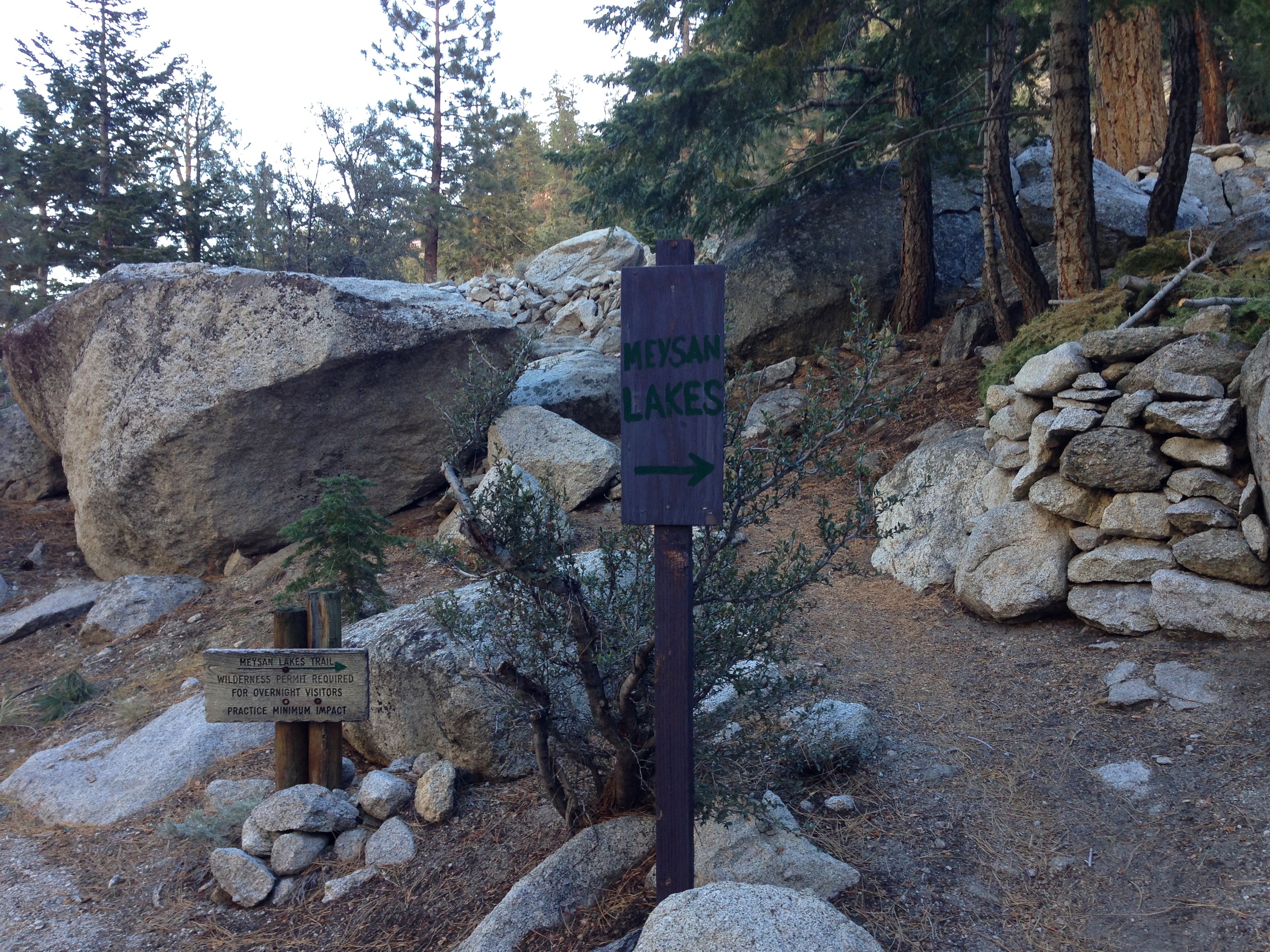

Directions: The Meysan Lakes trail leaves from just below the Whitney Portal region of the Inyo National Forest. From Lone Pine, proceed up the Whitney Portal road to Whitney Portal; and just before you arrive at the Whitney Portal Campground, there will be a sign and a parking area on the side of the road for the trailhead. From the parking area, head down an access road into the campground to access the trailhead. The access road to the campground does have a number of bear lockers specifically for the Meysan Lakes trail; and everyone should utilize them as this area is a very active bear area. Once you are in the campground, proceed along the paved road to the South, and follow the signs to the “Meysan Lakes” trailhead. The trailhead is located .1 miles from the parking area at the back of the campground, and is next to several seasonal inholding residences. There are plenty of signs to guide you to the trailhead, so while there are a number of turns, the trailhead is not hard to find.
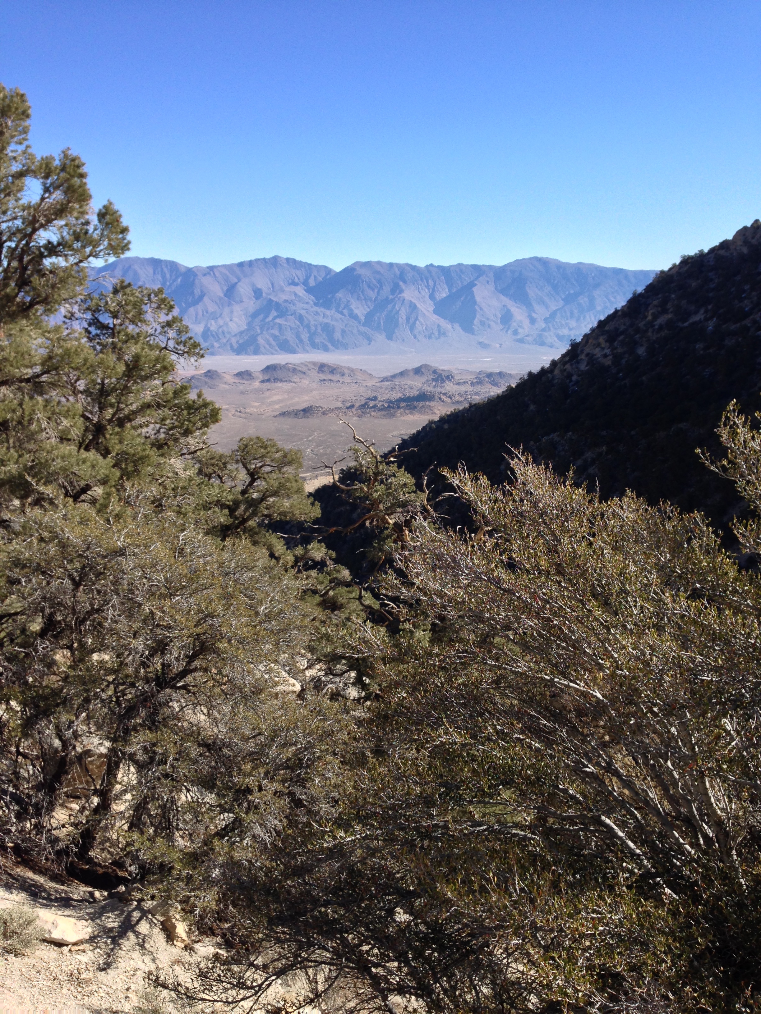
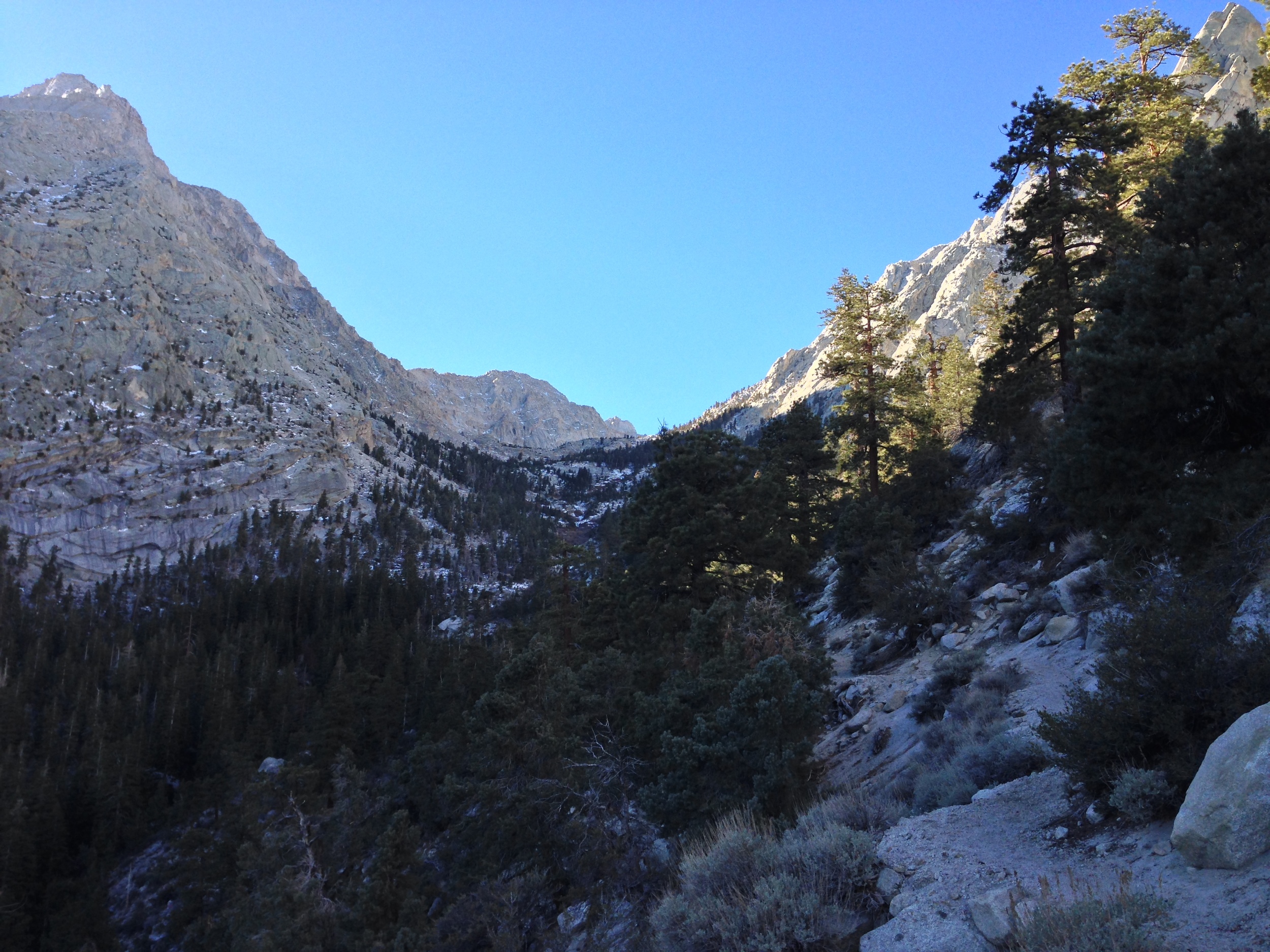
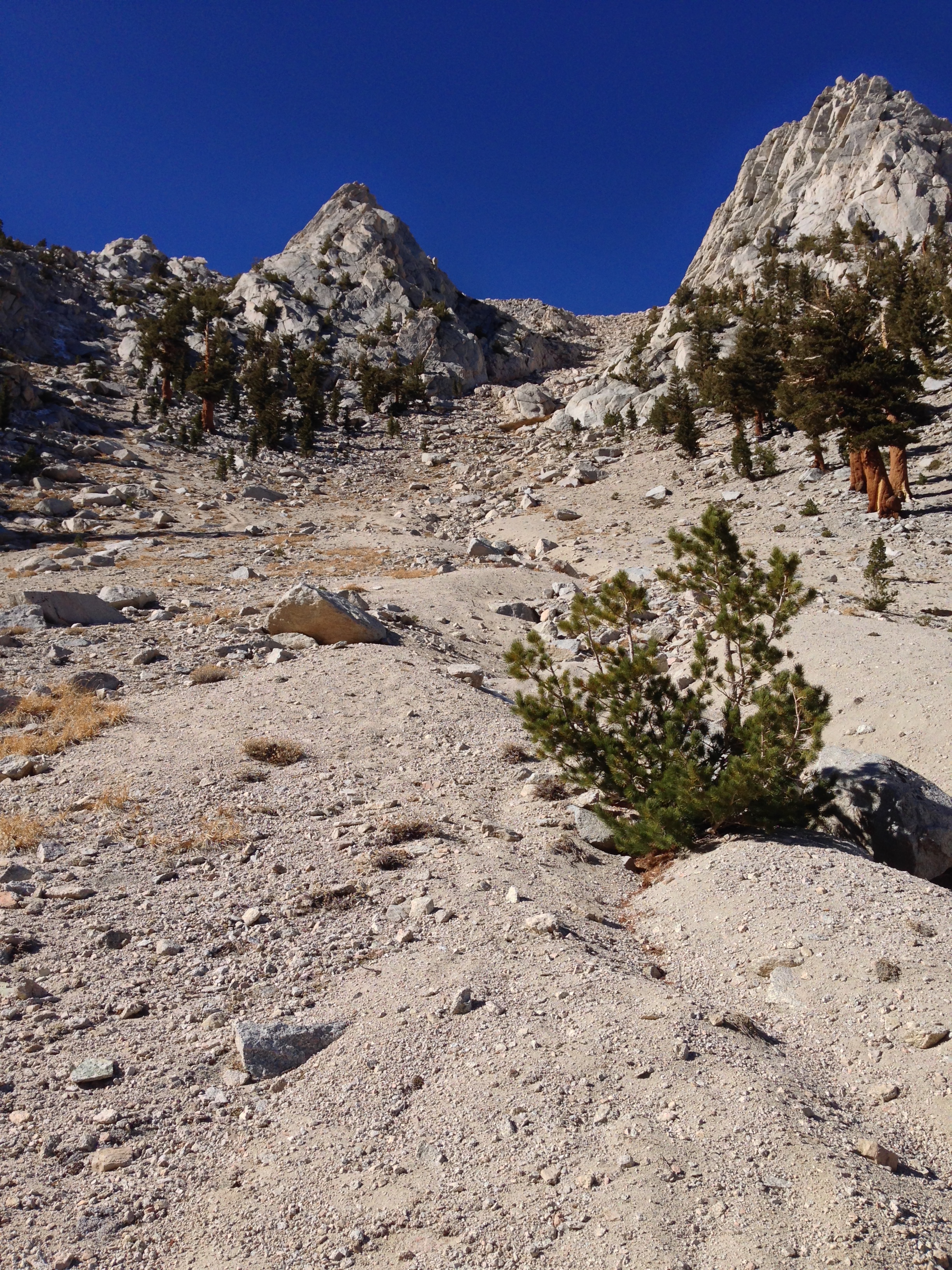
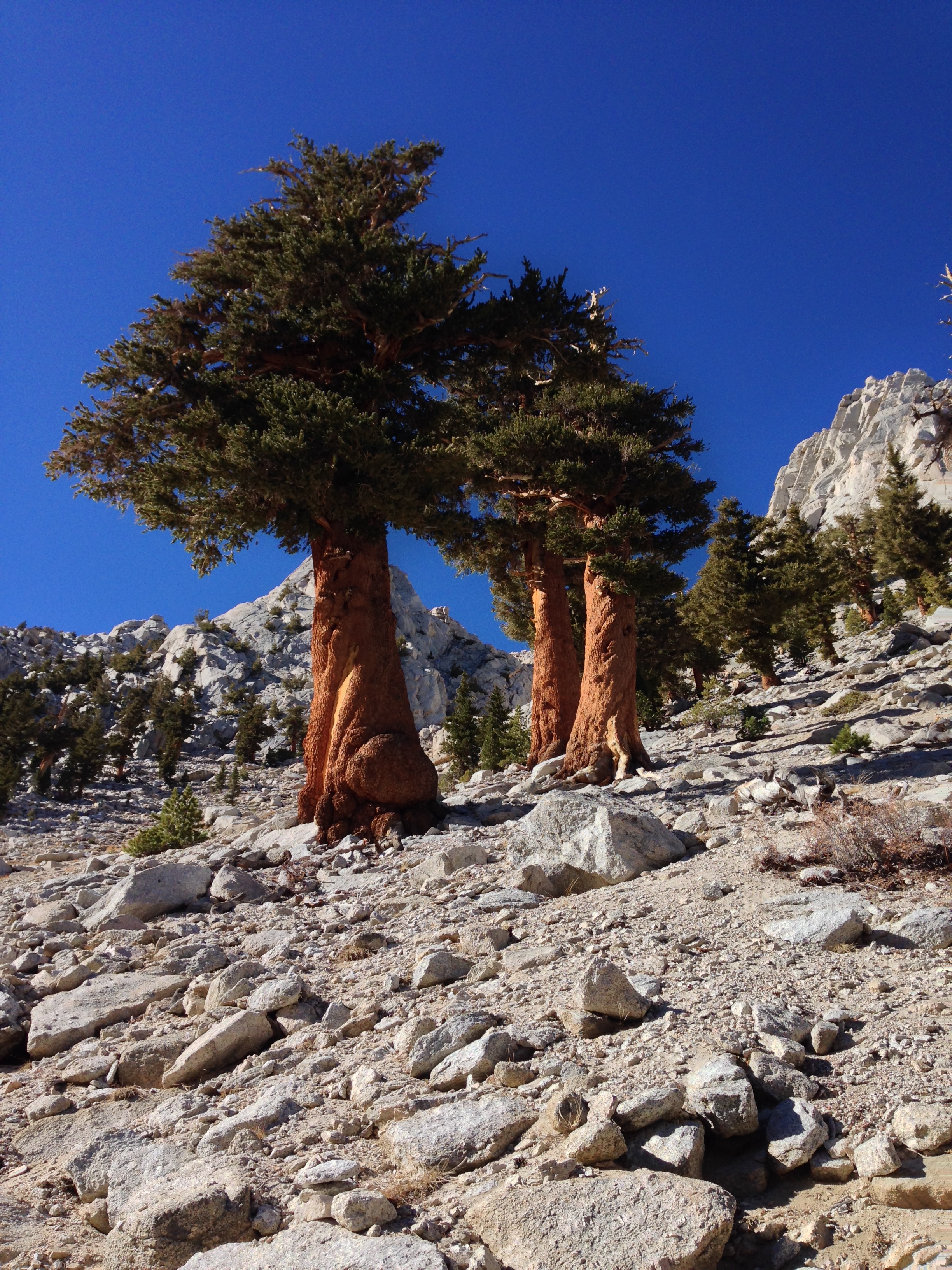
From the trailhead, the trail immediately begins to ascend past the residences, which is not surprising, as there is over 3,000 feet of elevation gain from the trailhead (8,080 feet) to Meysan Lake (11,445 feet). Over the first three and a half (3.5 miles), the trail consistently heads uphill as it ascends into the alpine basin. Even though you will likely not see many, if any people on this trail, the murmur – or roar of Meysan Creek below will keep you company as you ascend. At the three and a half mile mark, you will face your first major challenge – a very steep uphill section of trail through a fine, loose talus slope. Once you have ascended the slope, you will be atop a slight saddle, and the trail will level out for the first lake of three lakes present on the trail, Grass Lake.
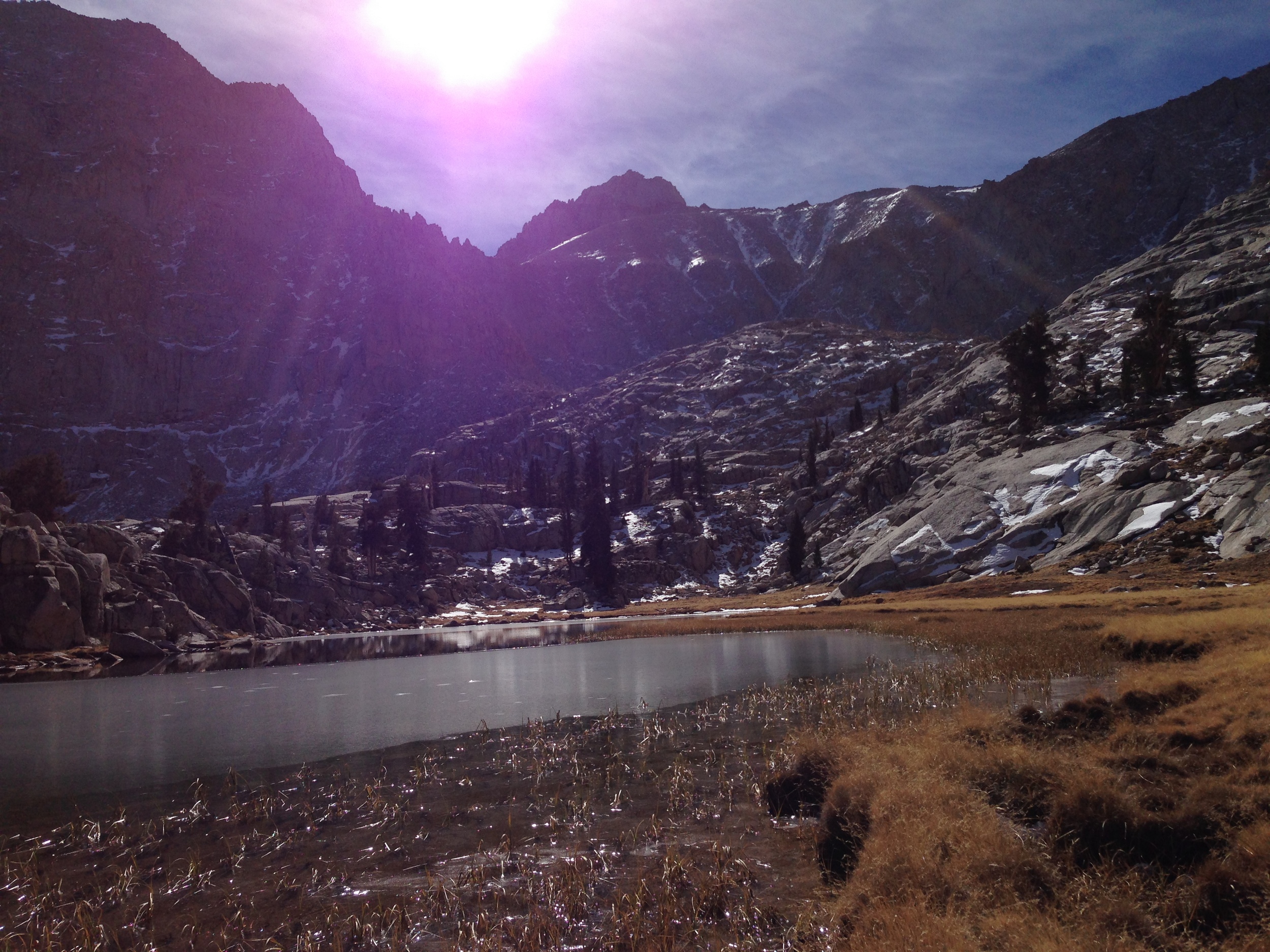
At this point, you will have traveled four (4) miles, and if you are tired, this is a great spot to turn around – you will have great views of the Sierras, and the surrounding basin, for an eight (8) mile roundtrip hike. Even if you are not overly tired, I recommend that you take a moment at Grass Lake to enjoy the view; catch your breath, and have a snack before you head further up the trail. From this point, the Meysan Lakes trail continues up a slight slope to the North side of Grass Lake before leveling out and then ultimately descending down toward Camp Lake. By the time you have arrived at Camp Lake, you will have hiked five (5) miles, and you will have ascended up to 11,200 feet – not at bad day’s work. Again, this is a great spot to turn around (for a ten mile roundtrip hike), should you feel tired.
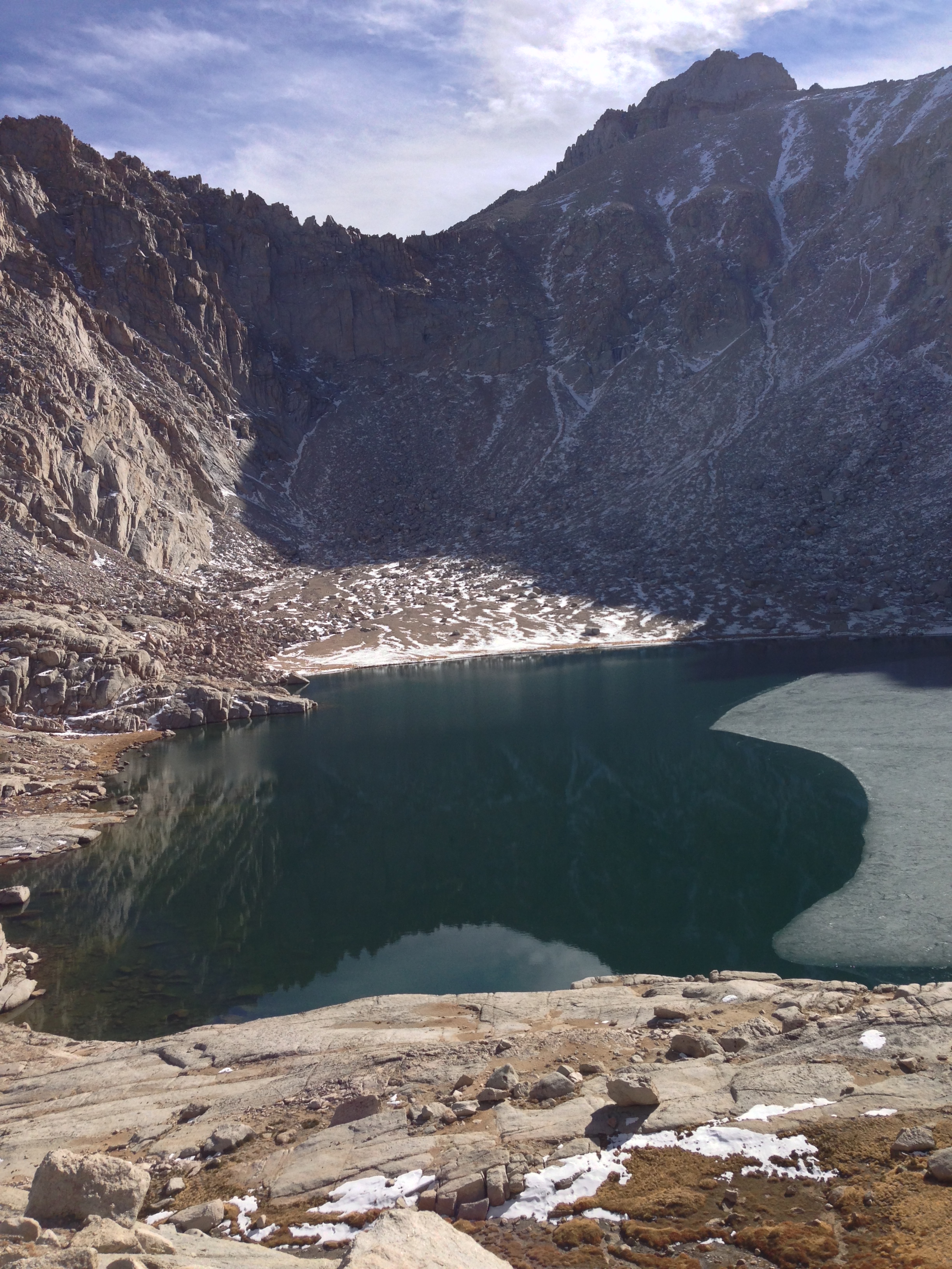
Meysan Lake
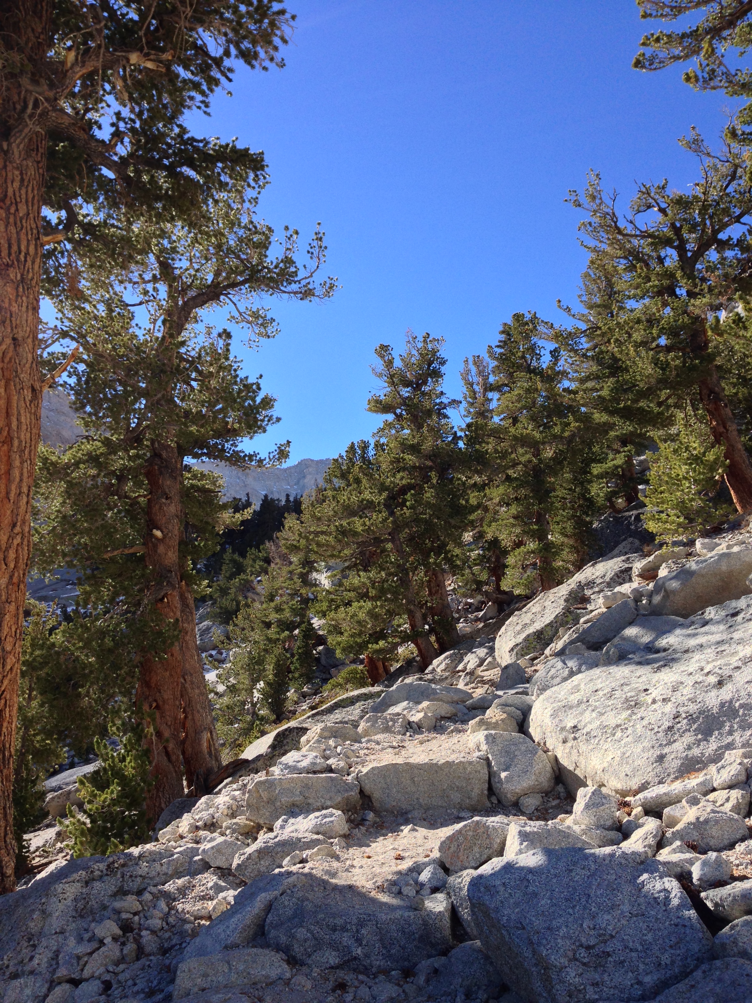
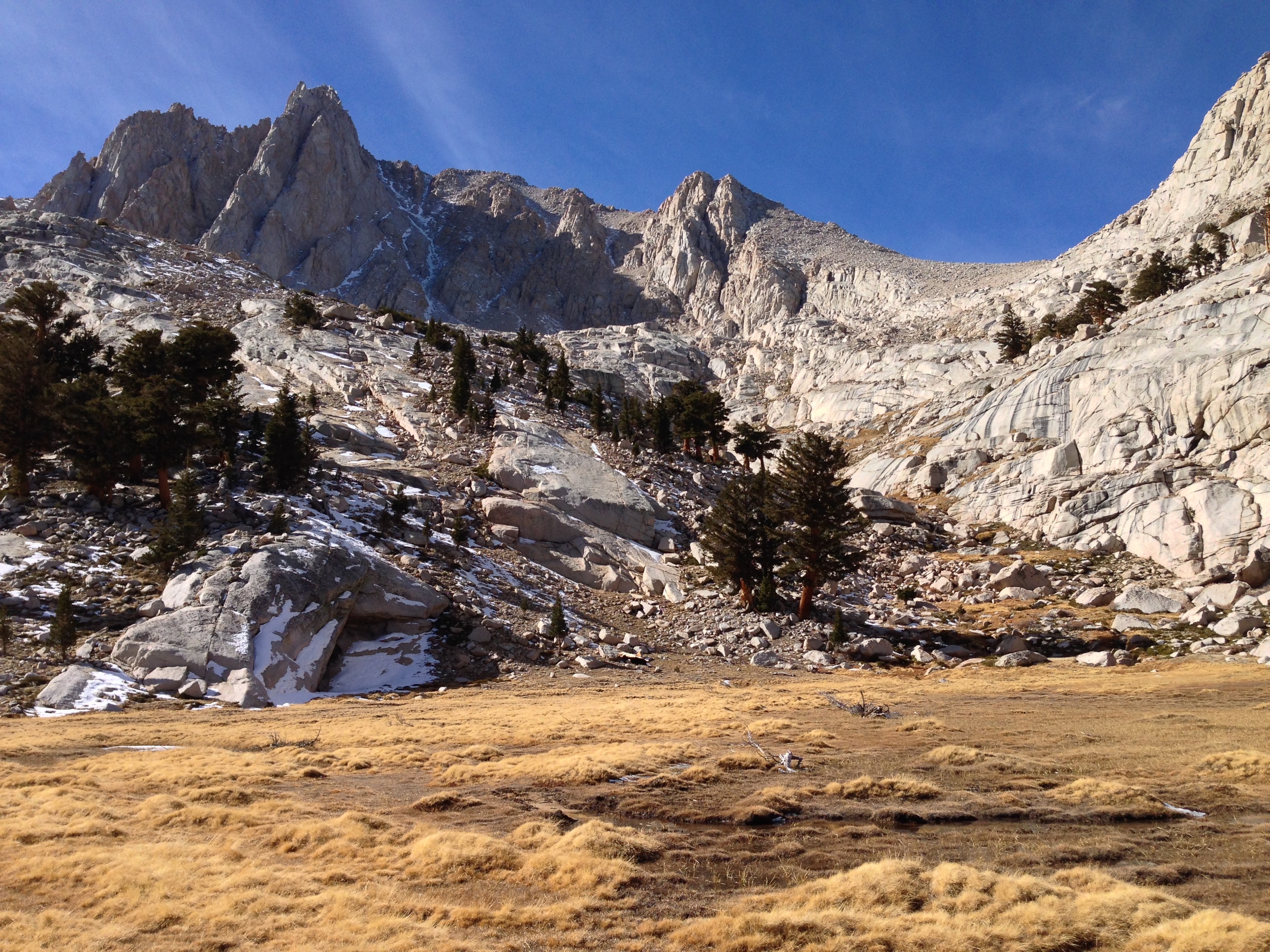
If you still have energy, Meysan Lake is only .6 miles further up the trail; but be warned: the remaining mileage requires a fair amount of work, both physically and mentally. While the trail to Camp Lake is well maintained and well-marked; the trail from Camp Lake to Meysan Lake is not as easy to follow, and is quite easy to lose. While climbers, backpackers, and hikers have marked the route with cairns, it is not easy to follow, especially in early fall or late spring due to snow coverage. As always in a remote area, be sure to carry a map and compass; GPS; and let people know where you are hiking. It is also worth noting that while the elevation gain from Camp Lake to Meysan Lake is minimal compared to the total gain, this section of trail is rough and quite steep. Once you have traversed the route to the top of a ridge, the trail levels out, and you will have a fantastic view of one of the stunning green alpine lakes of the Sierras. Enjoy the view of the lake, the peaks, and everything else before heading back down for a roundtrip distance of 11.2 miles.