
San Diego County has many high points of over a thousand feet; and out of these high points, some are more popular than others. While there are many lists of mountains that can be climbed, the main list for hiking enthusiasts in the confines of the county is the Sierra Club “100 Peaks” list. Over the years, due to a variety of factors, some of the peaks on the list have been exchanged for others. Despite the changes, the mountains that originally started on the list have remained, and in most cases, are still accessible. One of the original peaks of the “100 Peaks” list, Potrero Peak was removed, but is to this day, remains accessible for hikers in the county who want to climb a mountain along the Border Range.
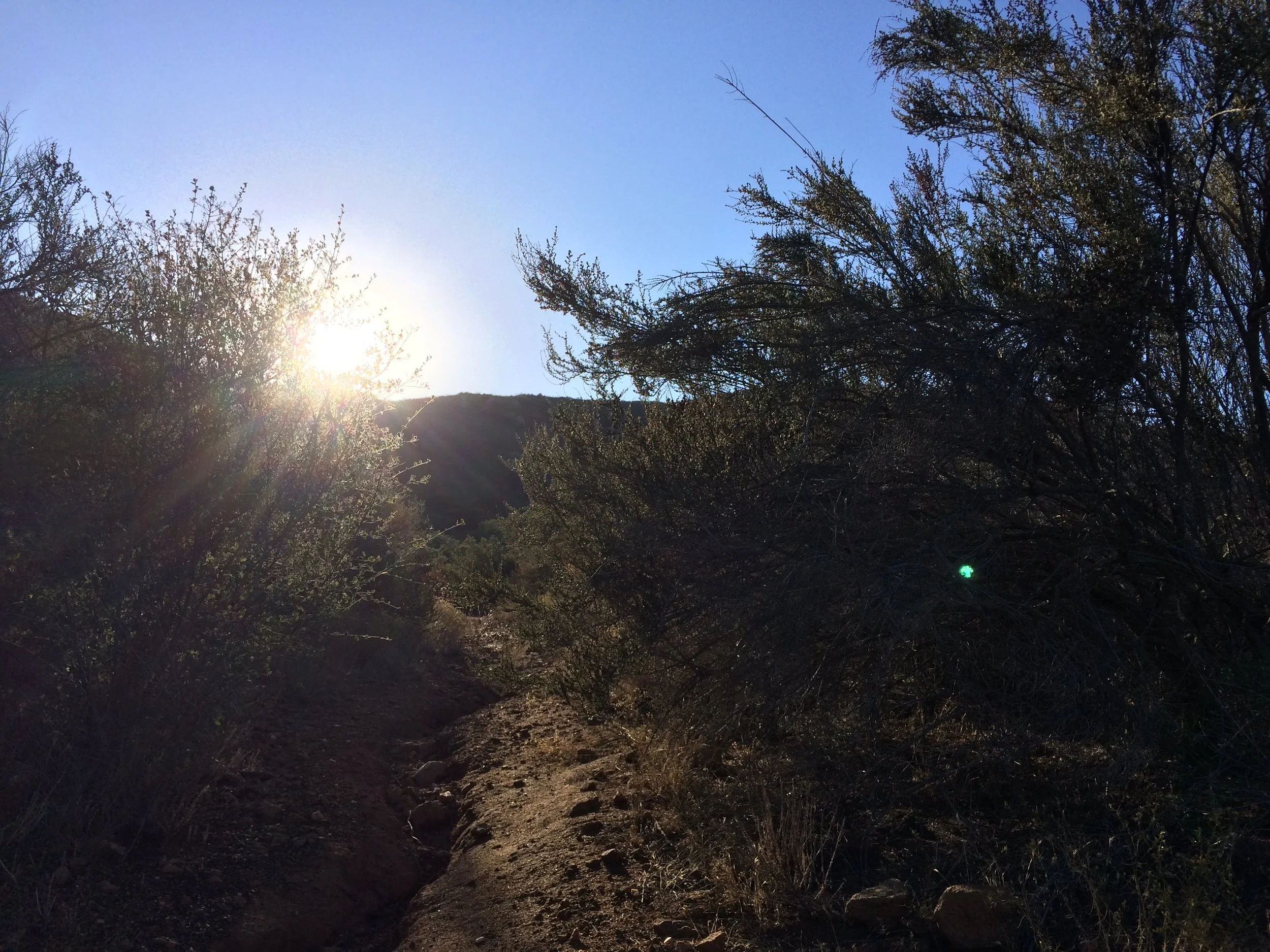
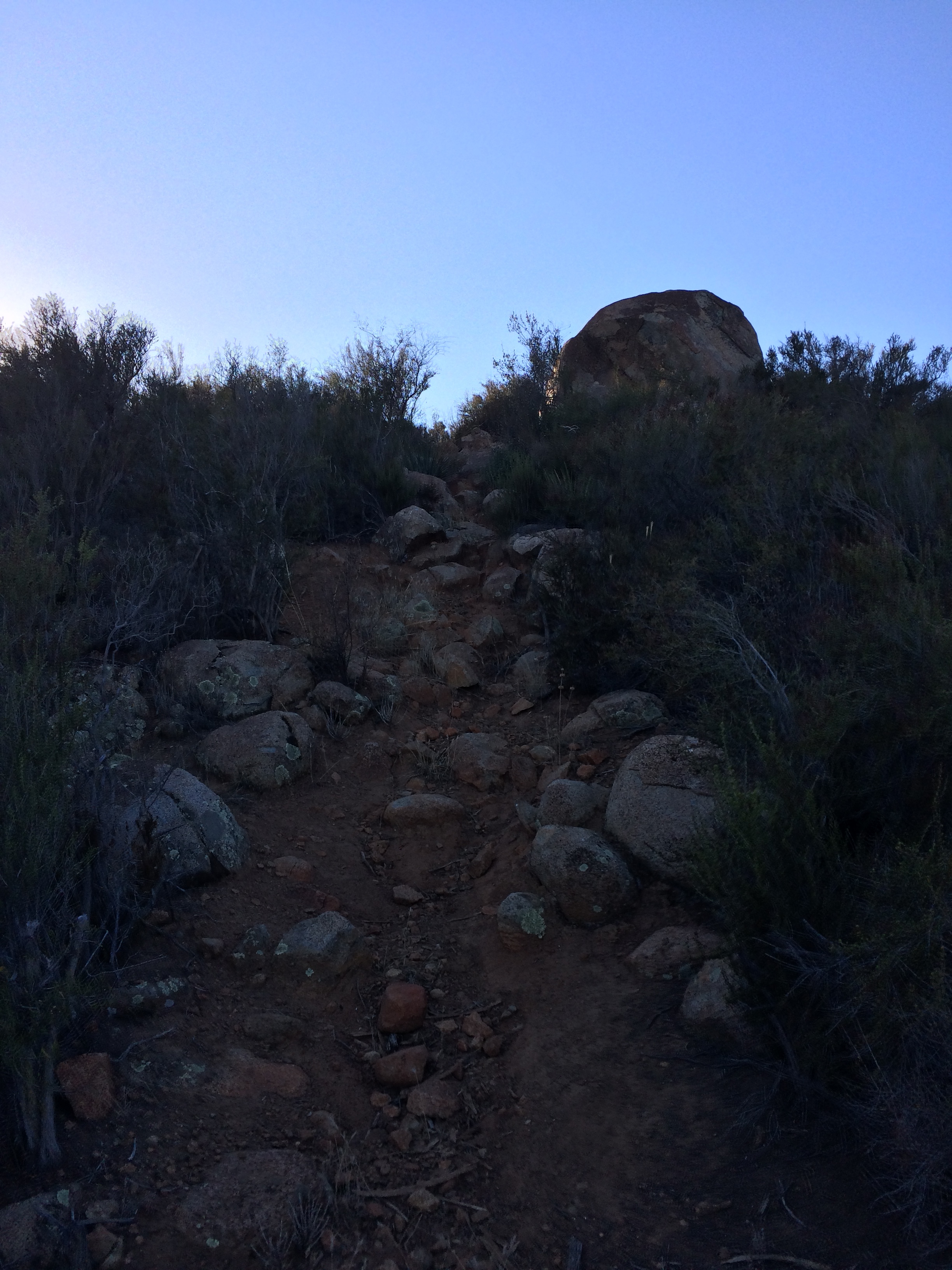
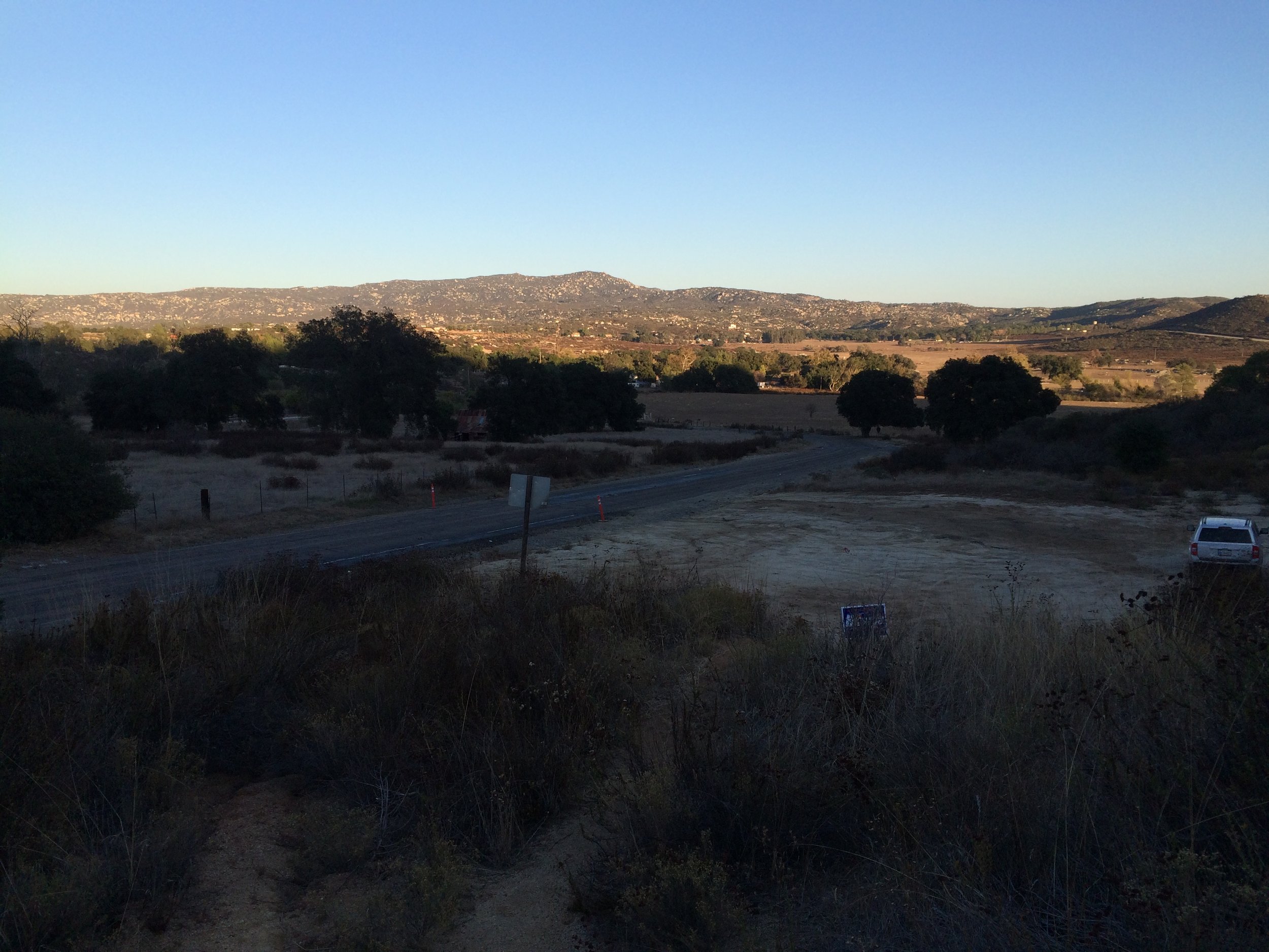
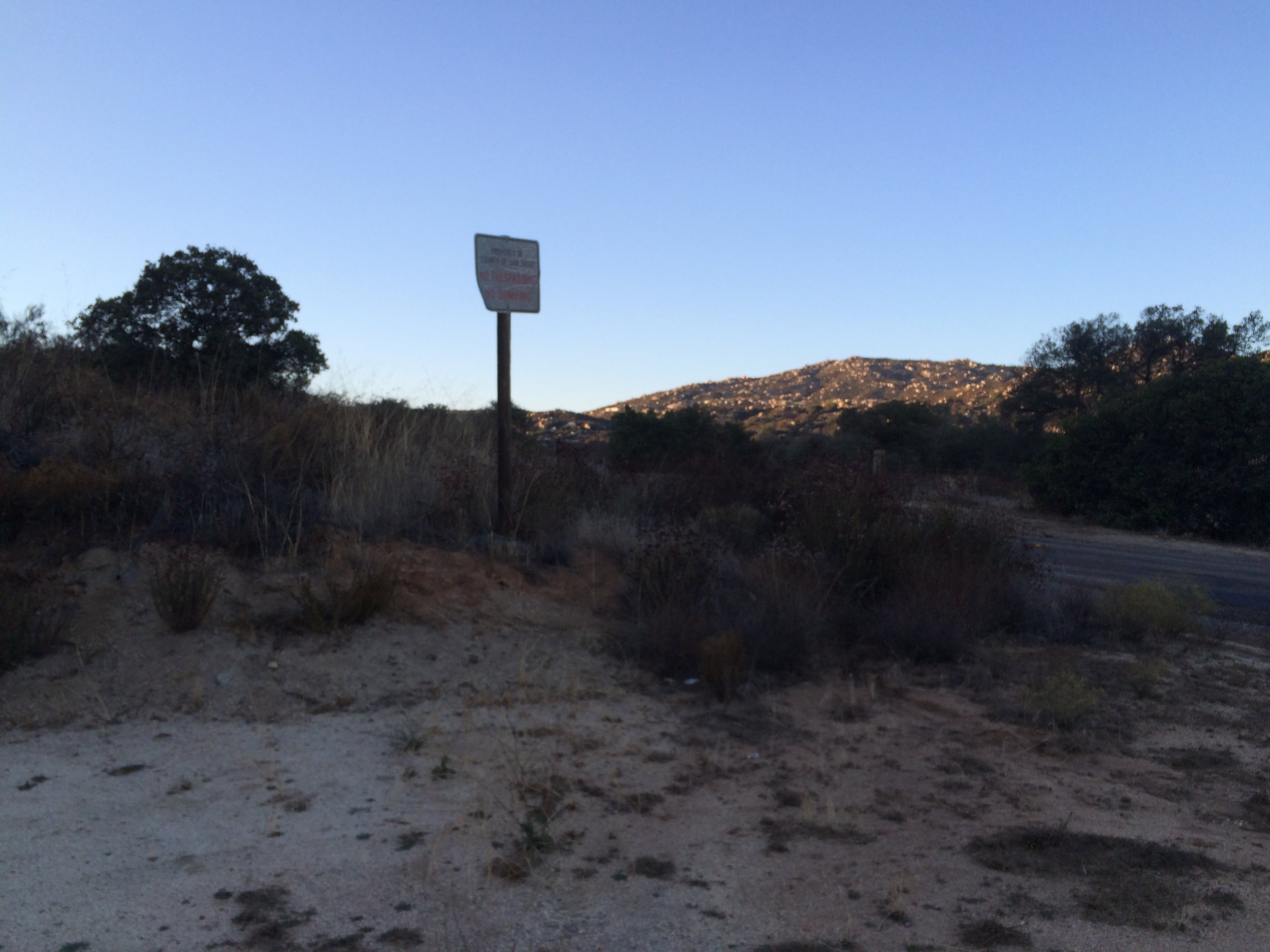
Directions: Although the mountain is readily visible from Highway 94 from a distance, finding the parking area for the trailhead is perhaps the trickiest part of this climb. Hikers will want to follow the Highway 94 to the small town of Potrero, and once in Potrero, will want to head North on Potrero Valley Road for a mile, before turning West (left) onto Round Potrero Road for a half mile. At the half mile mark, there is a large dirt parking area on the west side of the road, with a County of San Diego sign stating that parties cannot park overnight or dump waste at this location. Day use parking is fine. This is the parking area for the trailhead. From this area, although there are no signs, there is a well-used trail that ascends out of the parking area up the slope of the mountain. While the trail is not maintained, nor signed, it is used enough that it is readily apparent as it heads up the eastern side of the mountain. Over the course of one and a half miles, the trail ranges in width from single track to near fire-road levels of accessibility.
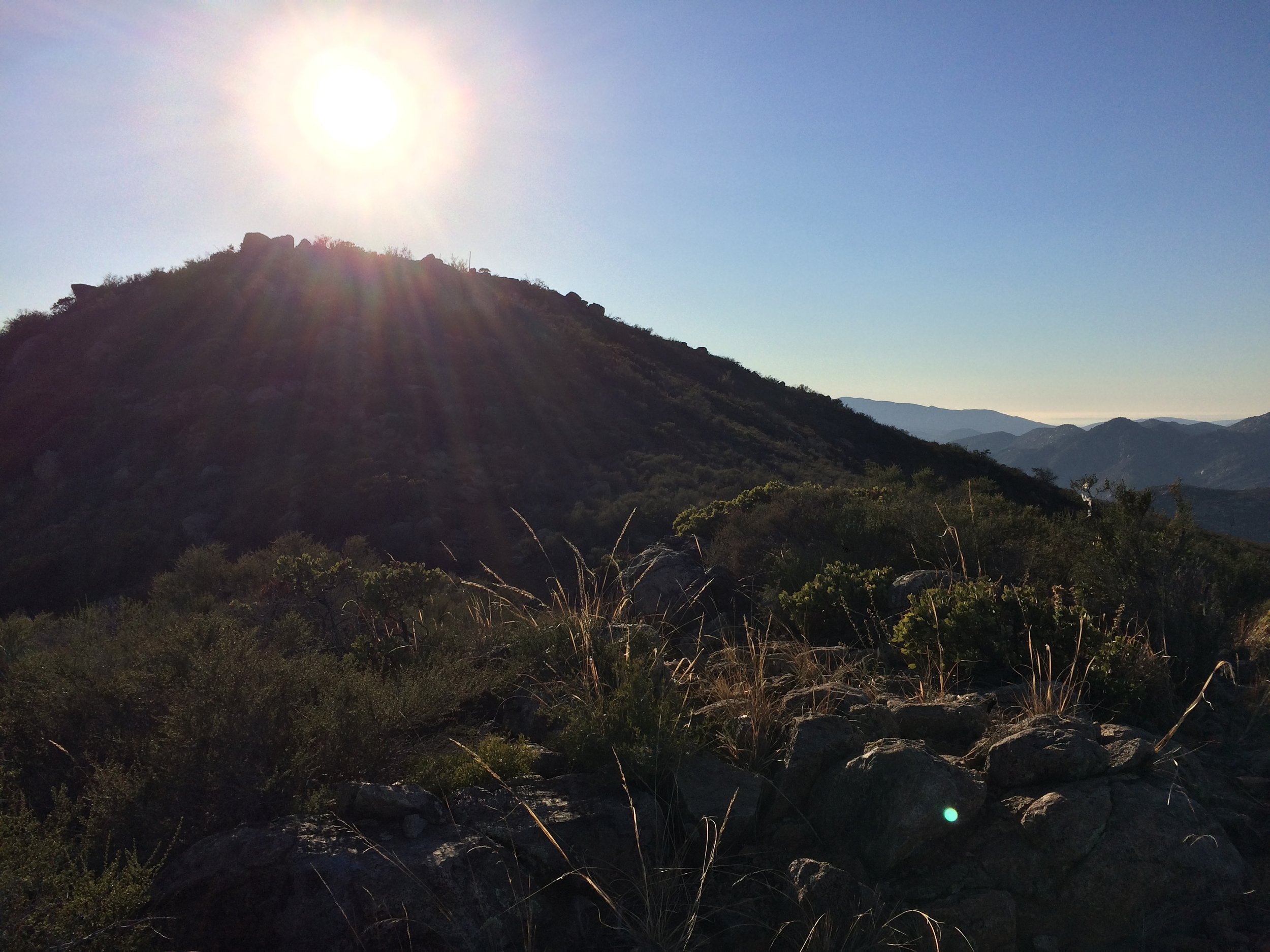
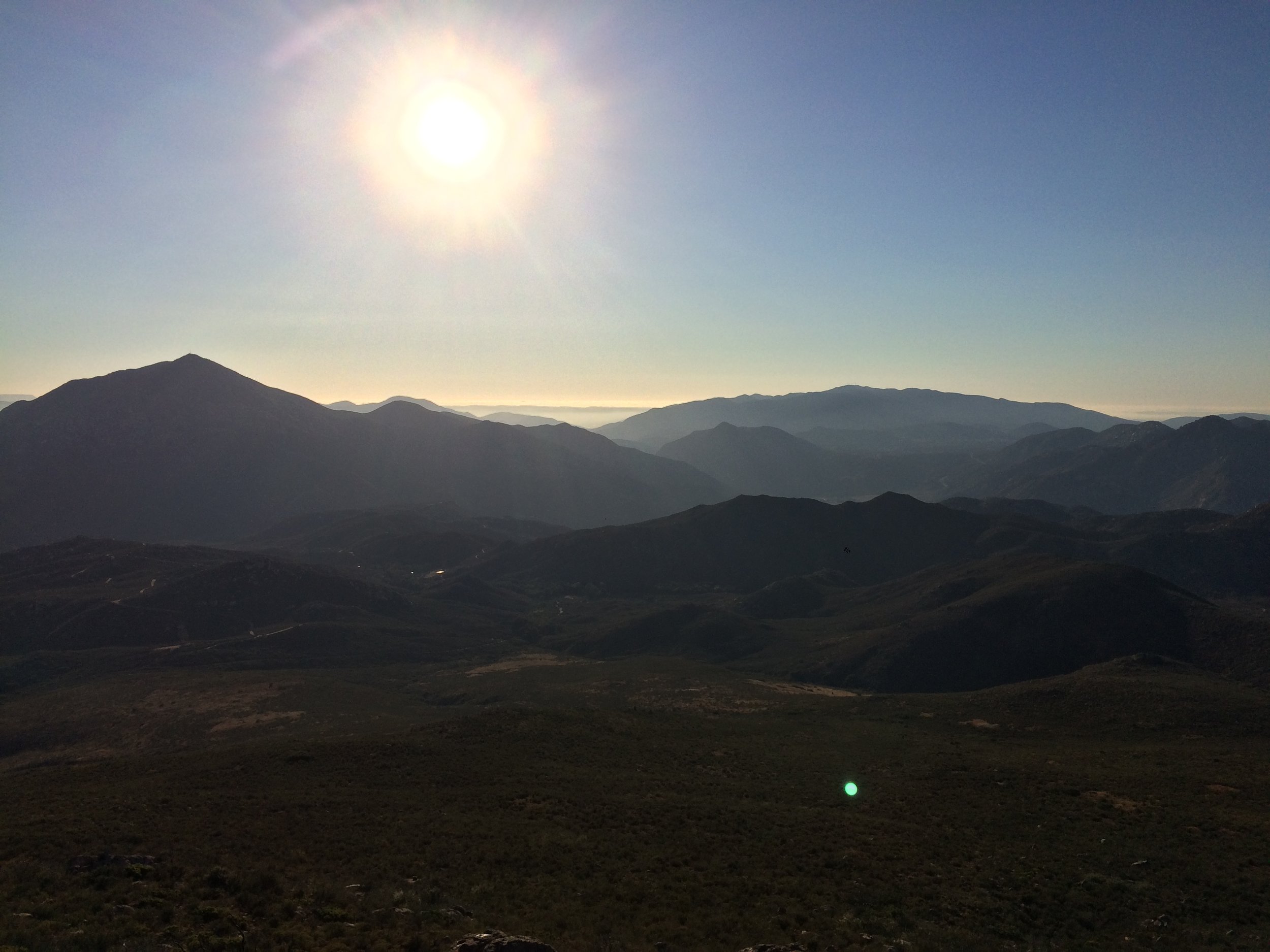
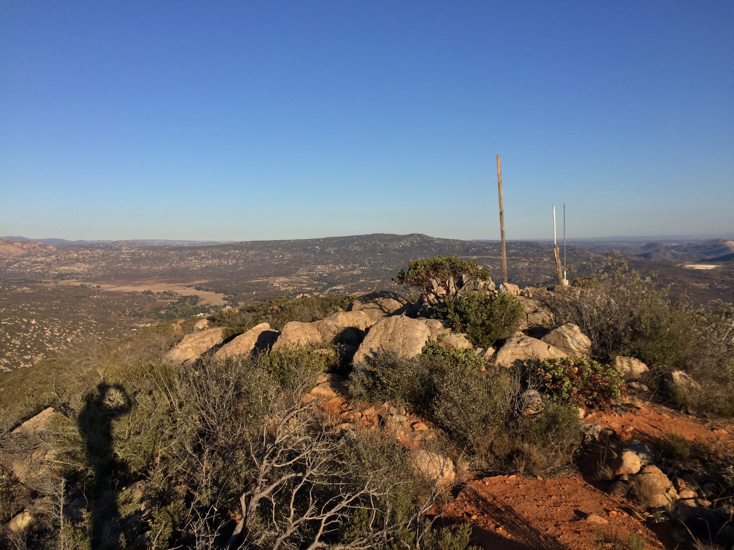
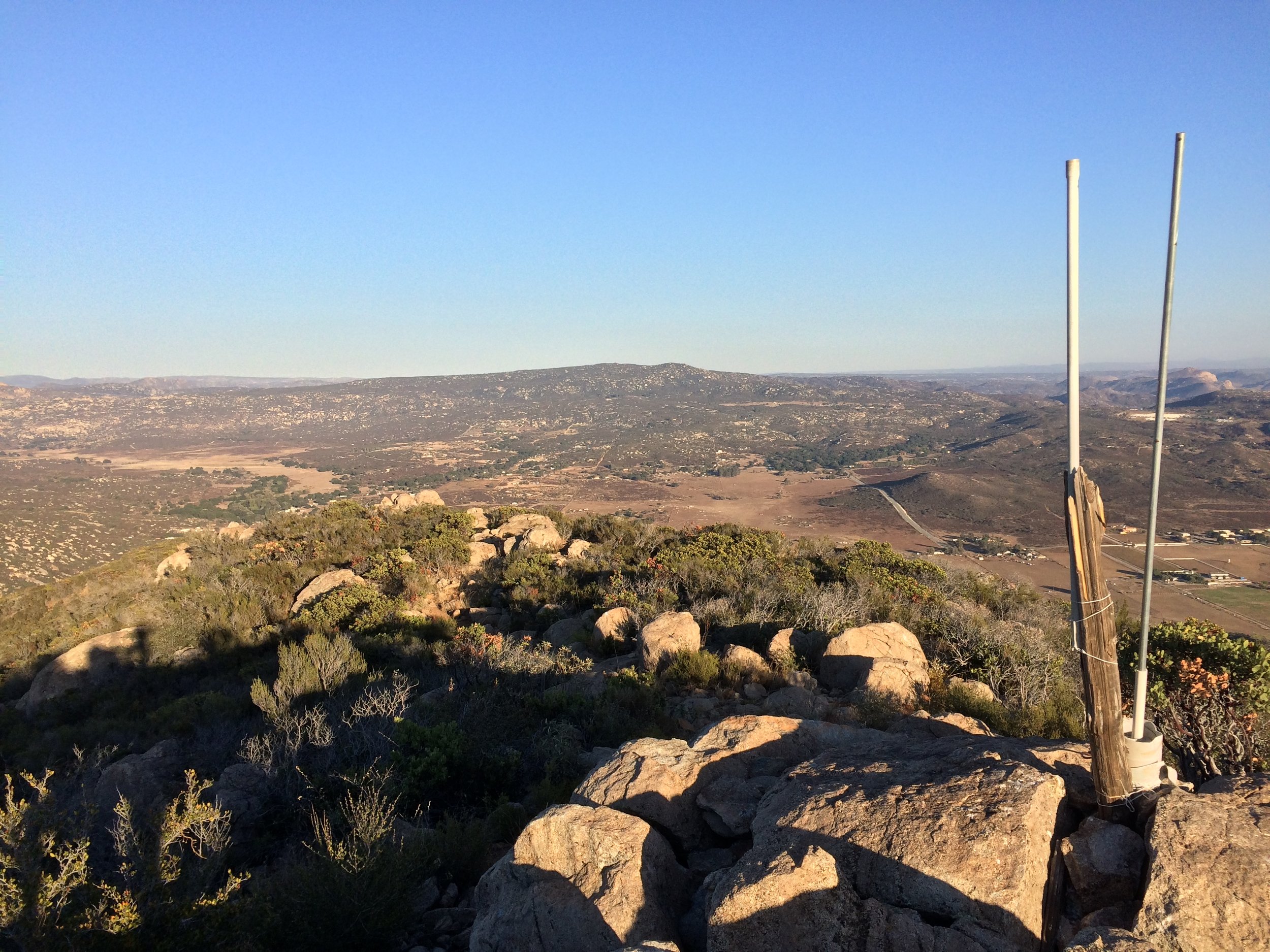
Summit, Potrero Peak
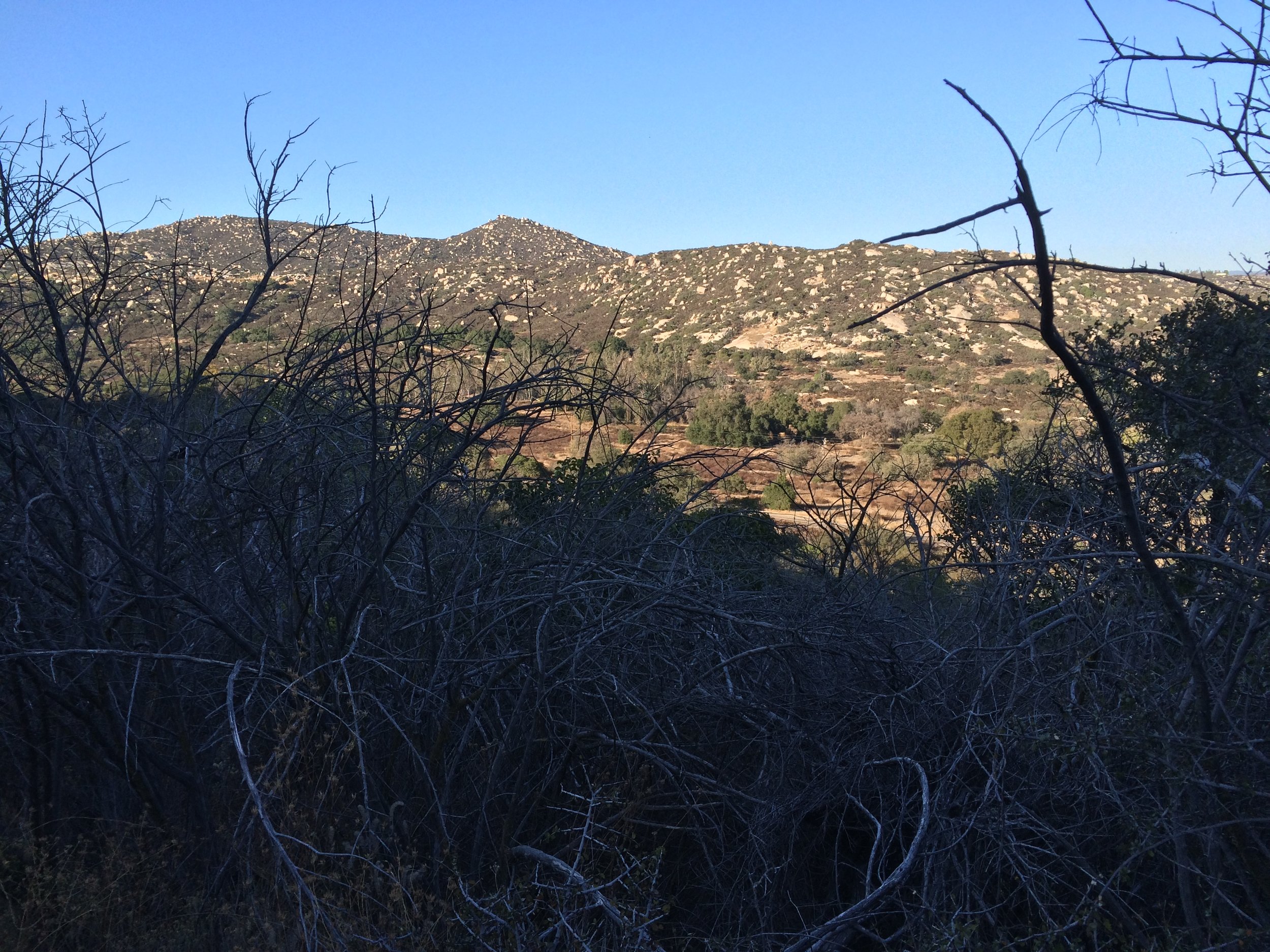
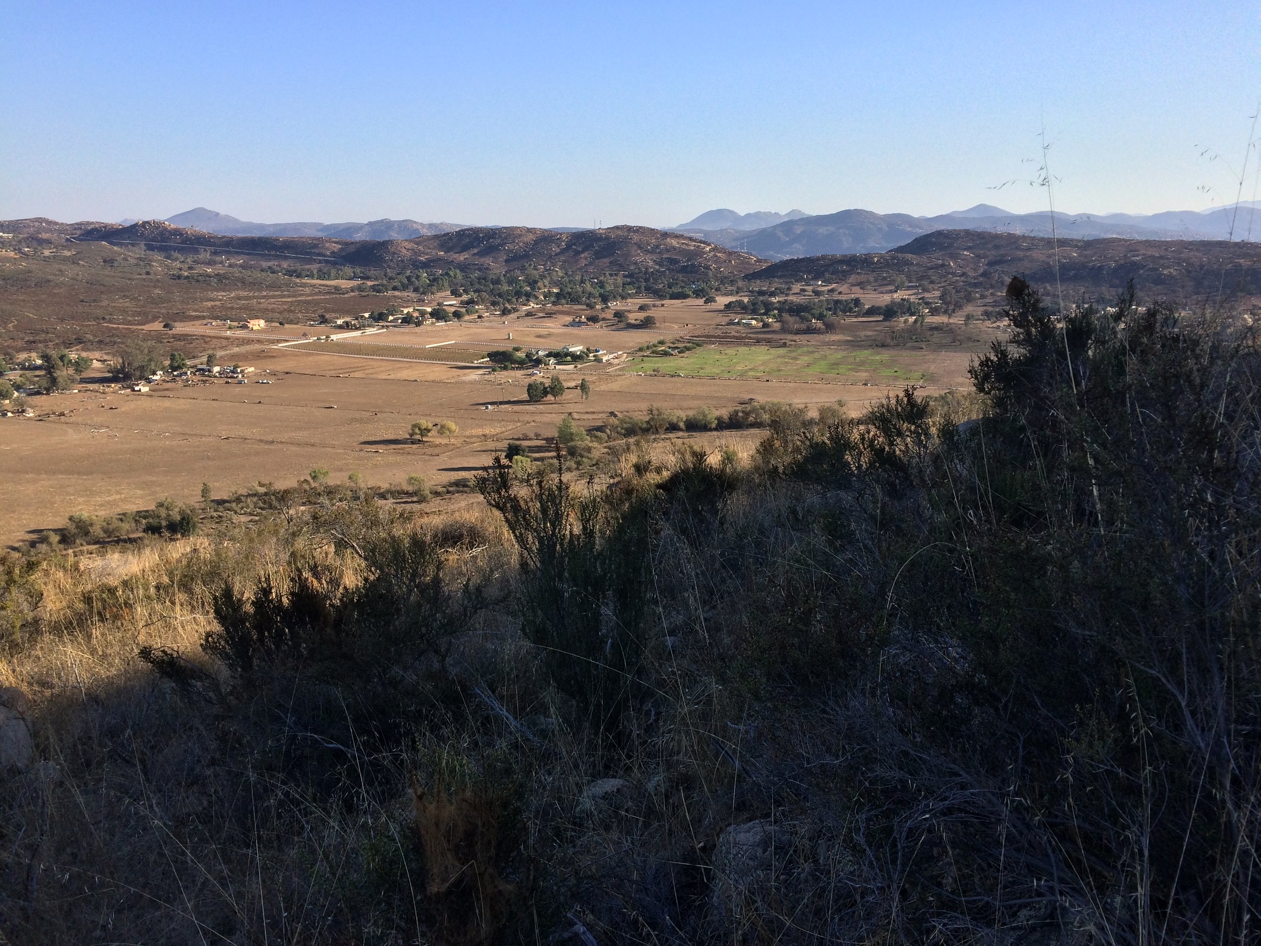
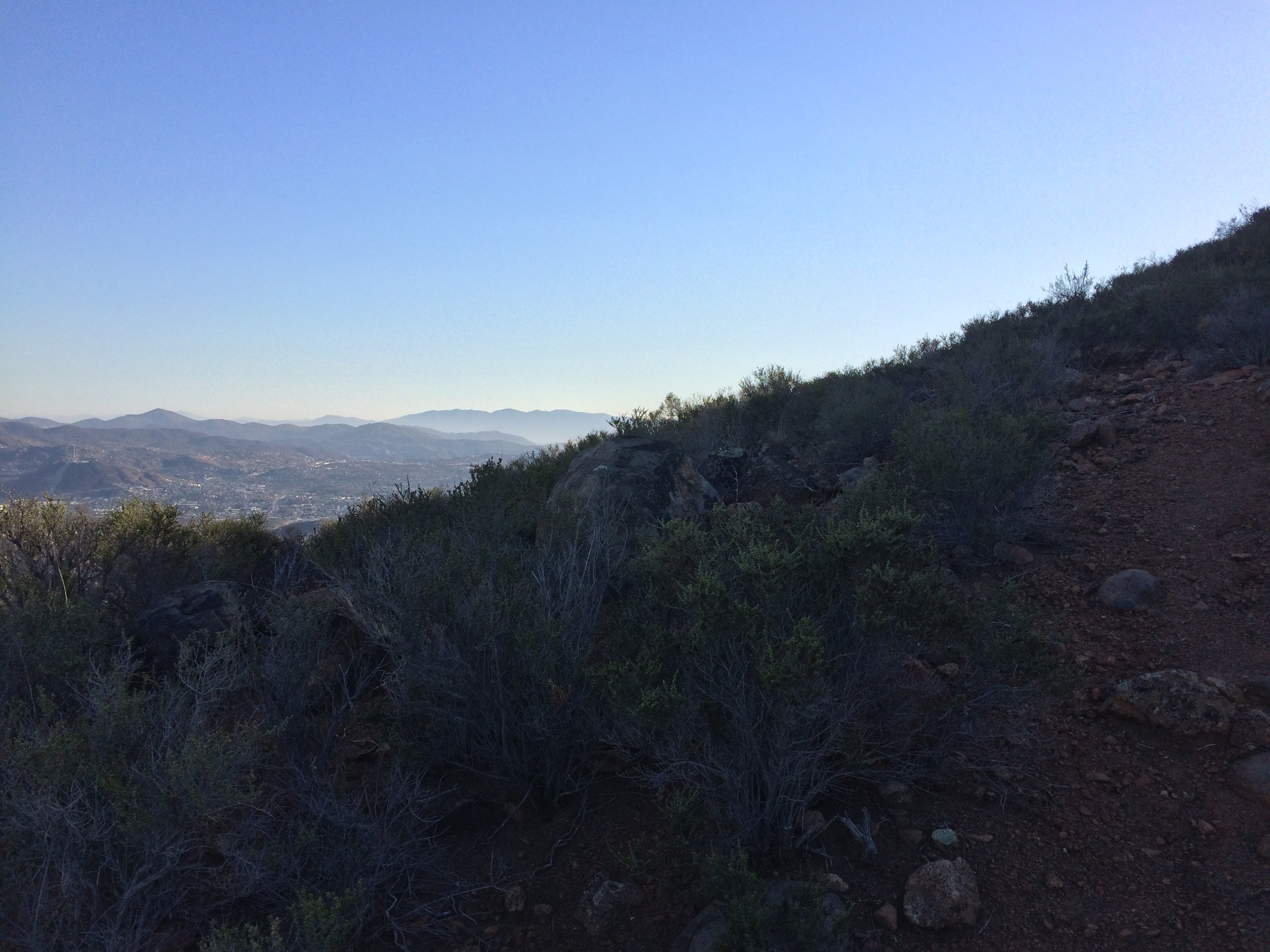
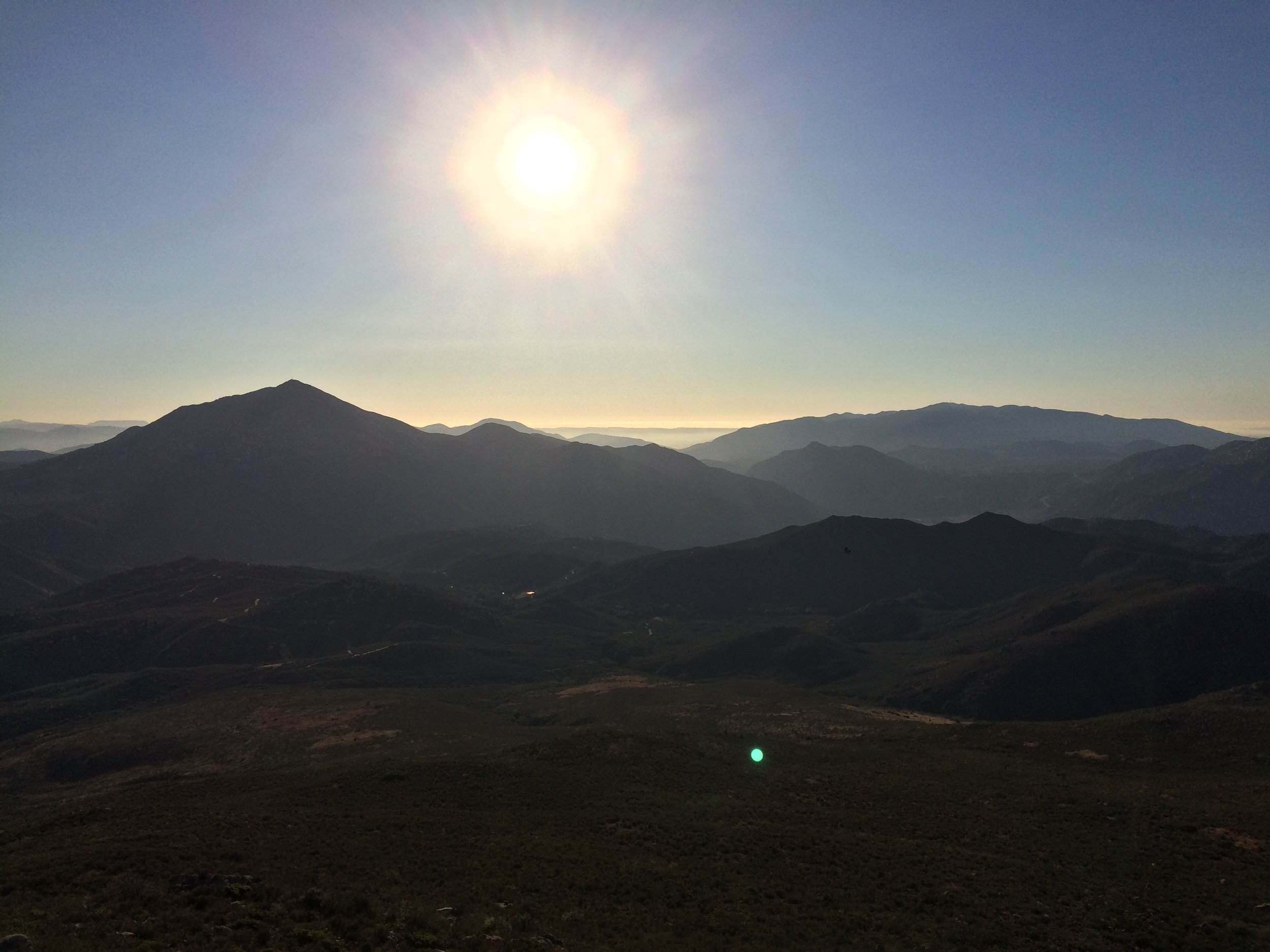
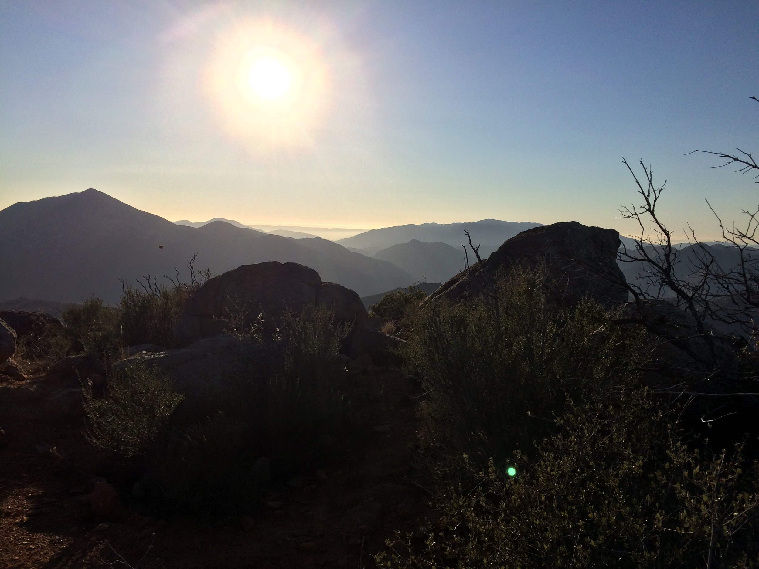
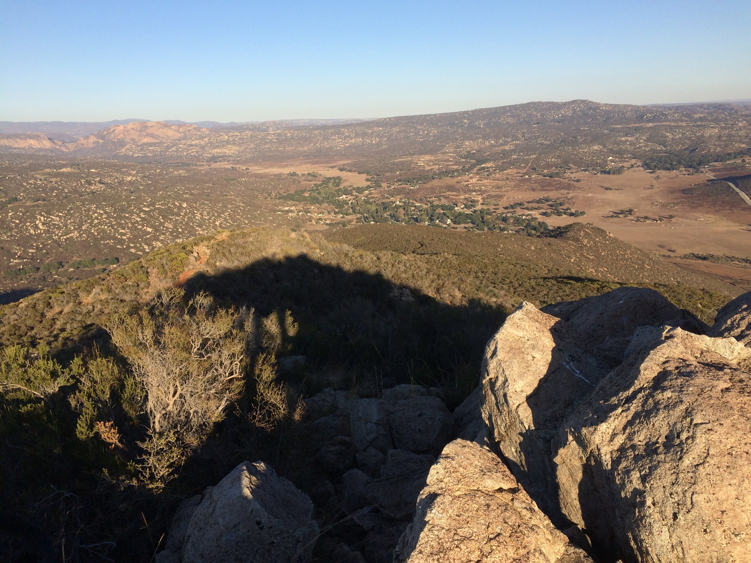
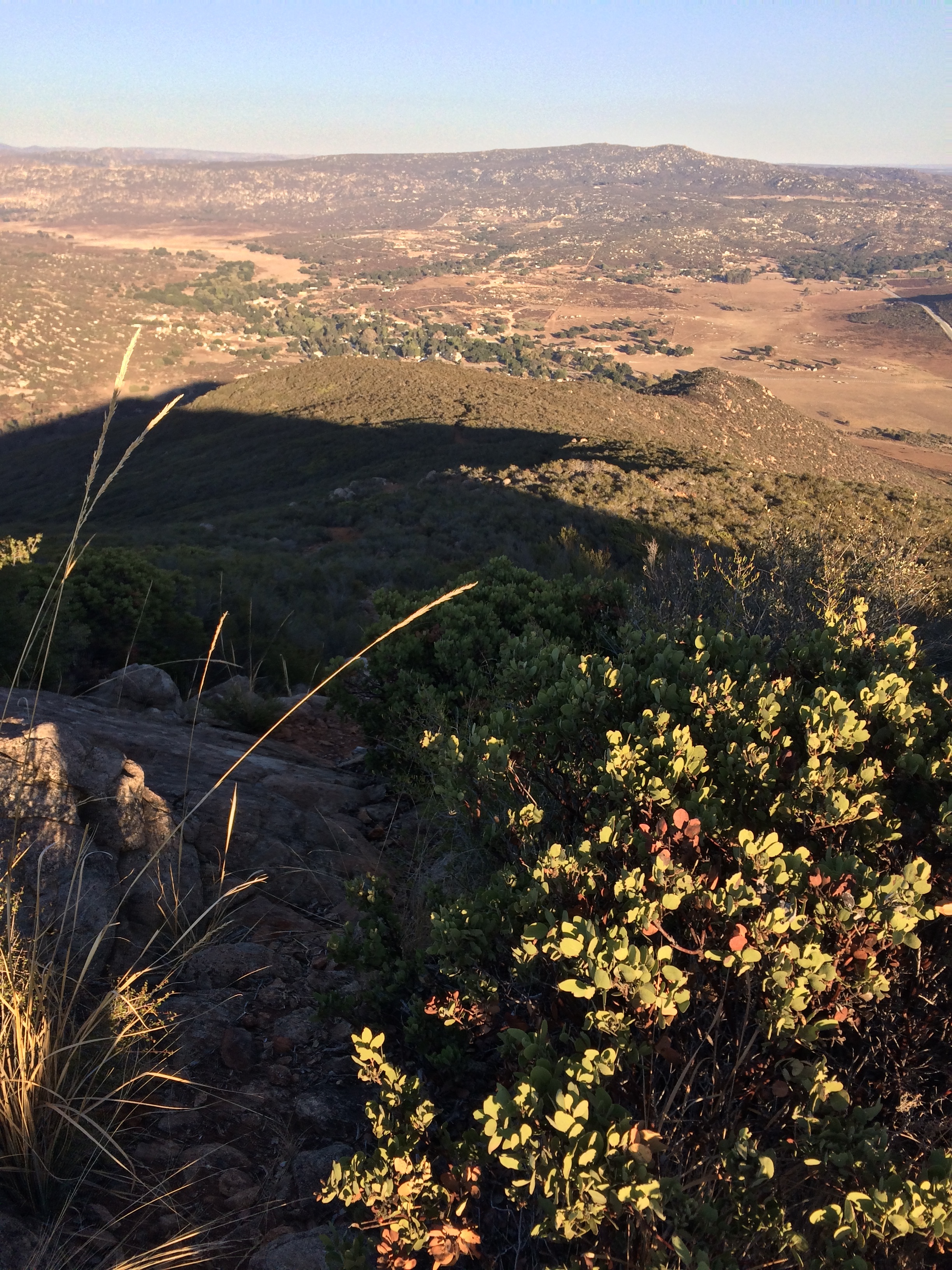
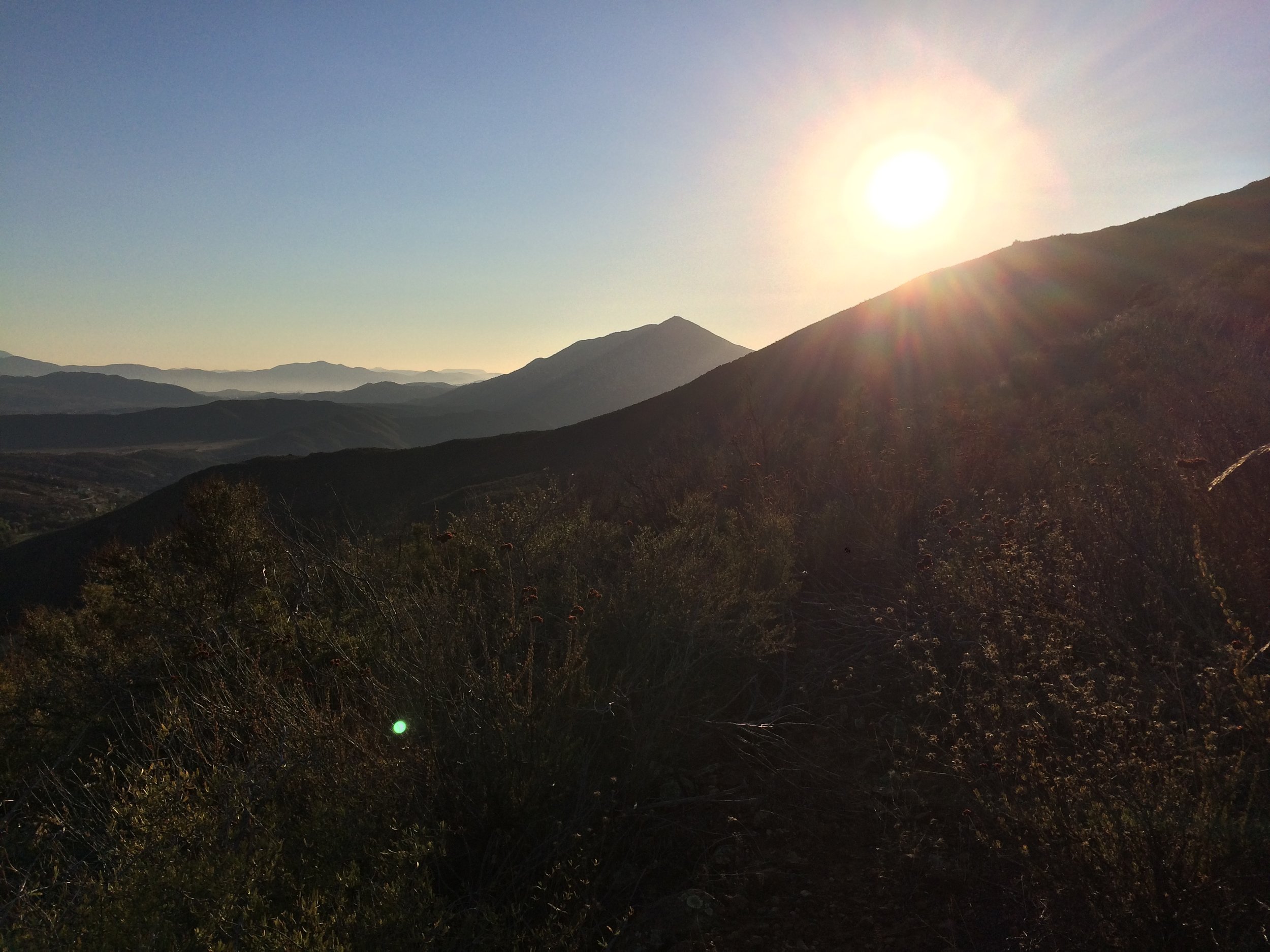
The trail also features a good deal of elevation gain. Over the course of the mile and a half route to the summit, the trail ascends 1,150 feet. While this isn’t a prohibitive amount of gain, it is a good workout; more so than some of San Diego’s more popular peaks, such as Cowles Mountain. After ascending over a slight rocky outcropping at the half mile mark, the trail heads along the ridgeline of the peak, and hikers will cross over two false “summits” before ending atop the peak. From the summit, which is at 3,344 feet of elevation, hikers will have excellent view of Tecate Peak to the west, the backcountry of San Diego, the Border Range, Tecate (and Baja California), and on a mostly clear day, the Pacific Ocean. The great views alone make this a stellar hike. As an added bonus, due to its remote location, the risk of crowds or other hikers is slim, which provides ample opportunities for solitude and serenity on the trail. The route back to the parking area is the route one used to ascend, for a moderate three mile hike.
Summit, Portrero Peak
Tips: Potrero Peak sits on a majority of BLM land and the route is unmarked and unmaintained. Hikers who are not experienced with basic routefinding should ensure that they have some sort of routefinding device or map, or both. Separately, the area is quite remote, and hikers should be aware that it can be quite hot from May through late October. Finally, given its proximity to the border, hikers should also be prepared for a Federal Government (Border Patrol) presence, as well as the usual wild animals that are present in this portion of San Diego’s Backcountry (snakes, coyotes, and mountain lions). In general though, for those willing to take the time to head out this far into San Diego’s southern county, this is an excellent hike for all of the reasons listed above.