
Ruins of the Stonewall Mine
While the gold rush of the nineteenth century in California was largely confined to the northern portion of the state, prospectors also fanned out to all regions of the state, seeking to strike it rich. In San Diego County, most of the mining exploration occurred in and around the town of Julian, but the largest and most productive mine was located a little bit further south, in what is now Cuyamaca Rancho State Park. In 1870, gold was discovered, and after a great deal of legal difficulties, the Stonewall Mine began operating. Over a fifty year period, the Stonewall Mine became the most productive and profitable mining operation in the county, producing over two million dollars of gold.
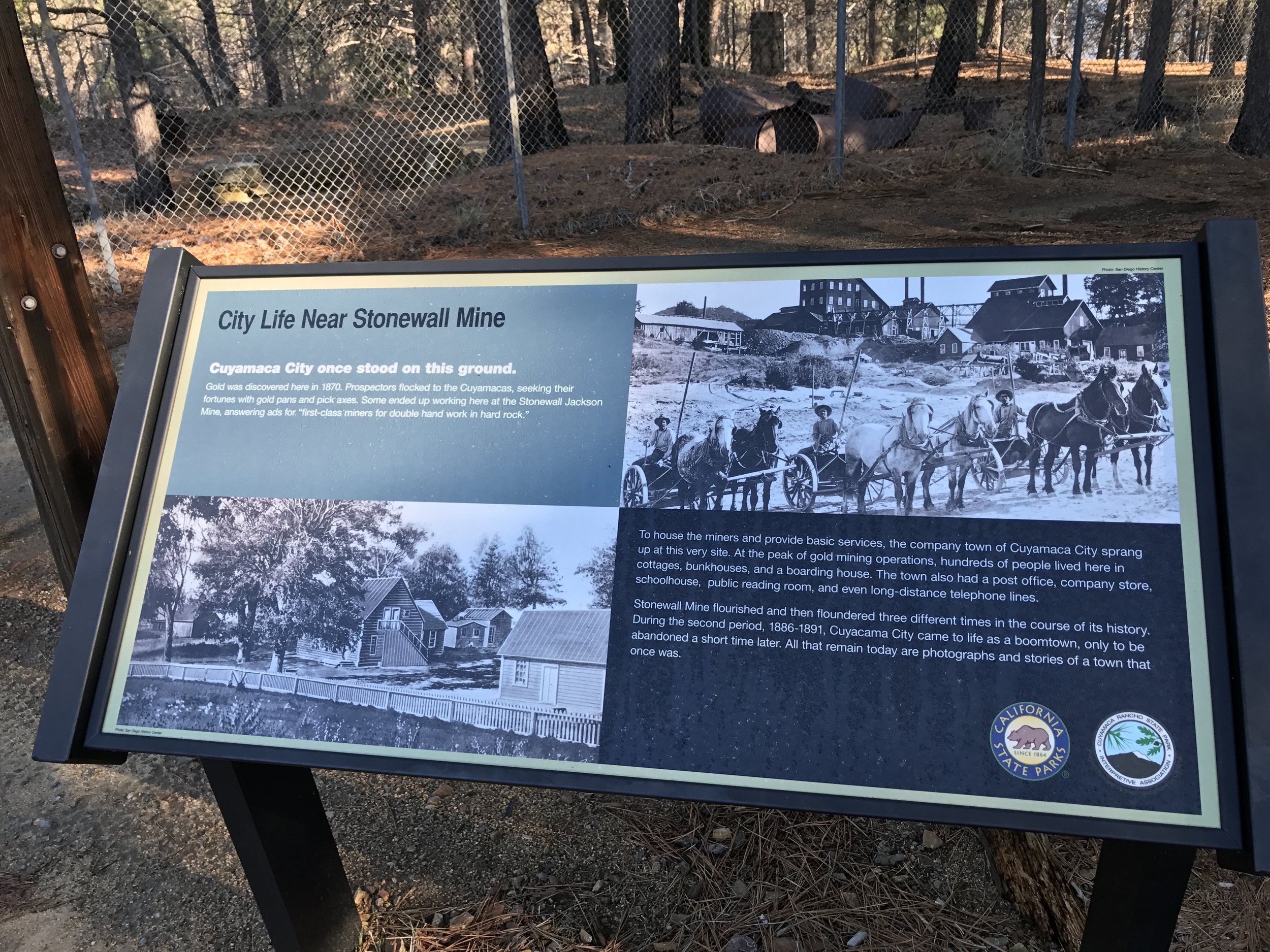
Although Cuyamaca City is long gone, the State Park has an excellent display about the mine and the region.
Most of the mining that occurred at the site occurred from 1870-1899, and during that time, a boom town called Cuyamaca City also sprang up at the location, alongside Lake Cuyamaca, which was a man-made lake constructed to provide water for both the city of San Diego, and the mining operations at the Stonewall Mine. In 1923, after the property was purchased by Ralph Dyar, the mining operations stopped, and the main shaft of the mine was filled in, and since 1933 the area has been part of the state park. Today, the area is a picnic area and loop hiking trail in the park where one can view the remnants of both the mine and Cuyamaca City.
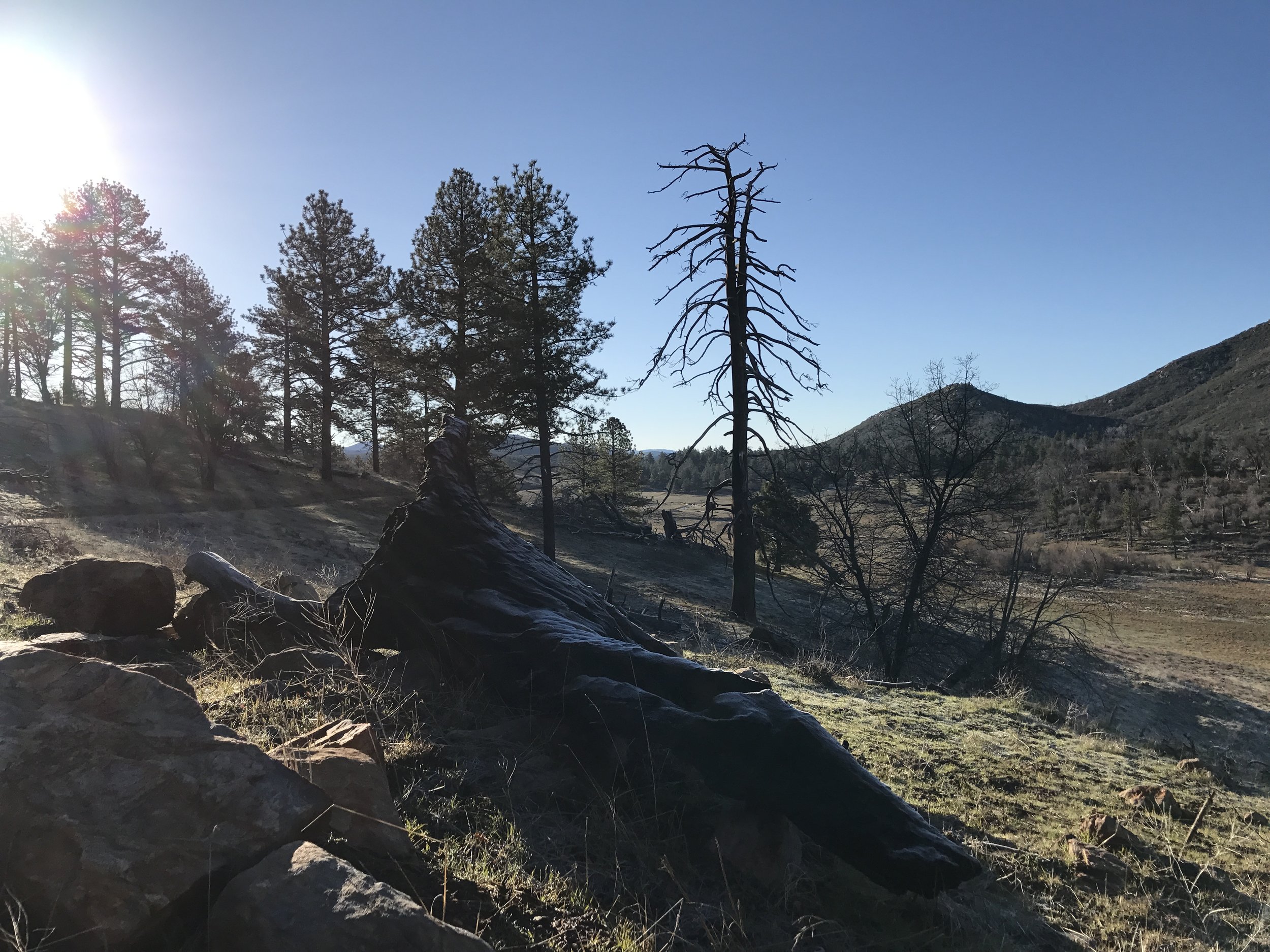
With minimal effort, excellent views can be found from the loop trails around Stonewall Mine
Directions: From downtown San Diego, Stonewall Mine is located fifty-nine miles to the northeast. The most convenient route to the mine is along Interstate 8 East to the CA-79/Japatul Valley Road Exit. From the freeway, Stonewall Mine is fifteen miles to the north, along CA-79, and just past Stonewall Peak and the Paso Picacho Campground. The mine itself is off a small state park road that is well signed on both directions, and to the east of Highway 79.
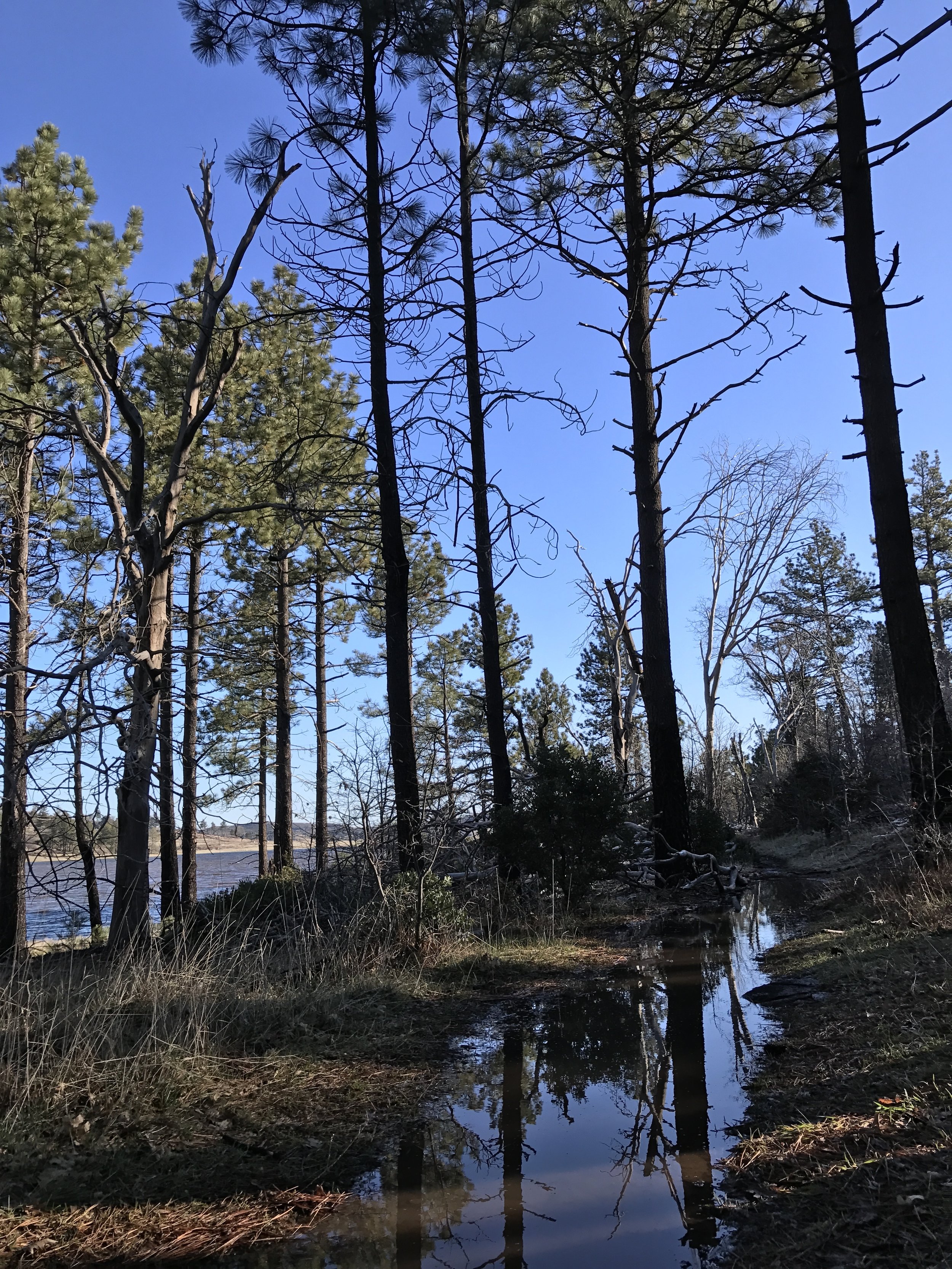
All of the loop trails lead past, or along Lake Cuyamaca, which was constructed to aid the mine and provide water to the city of San Diego.
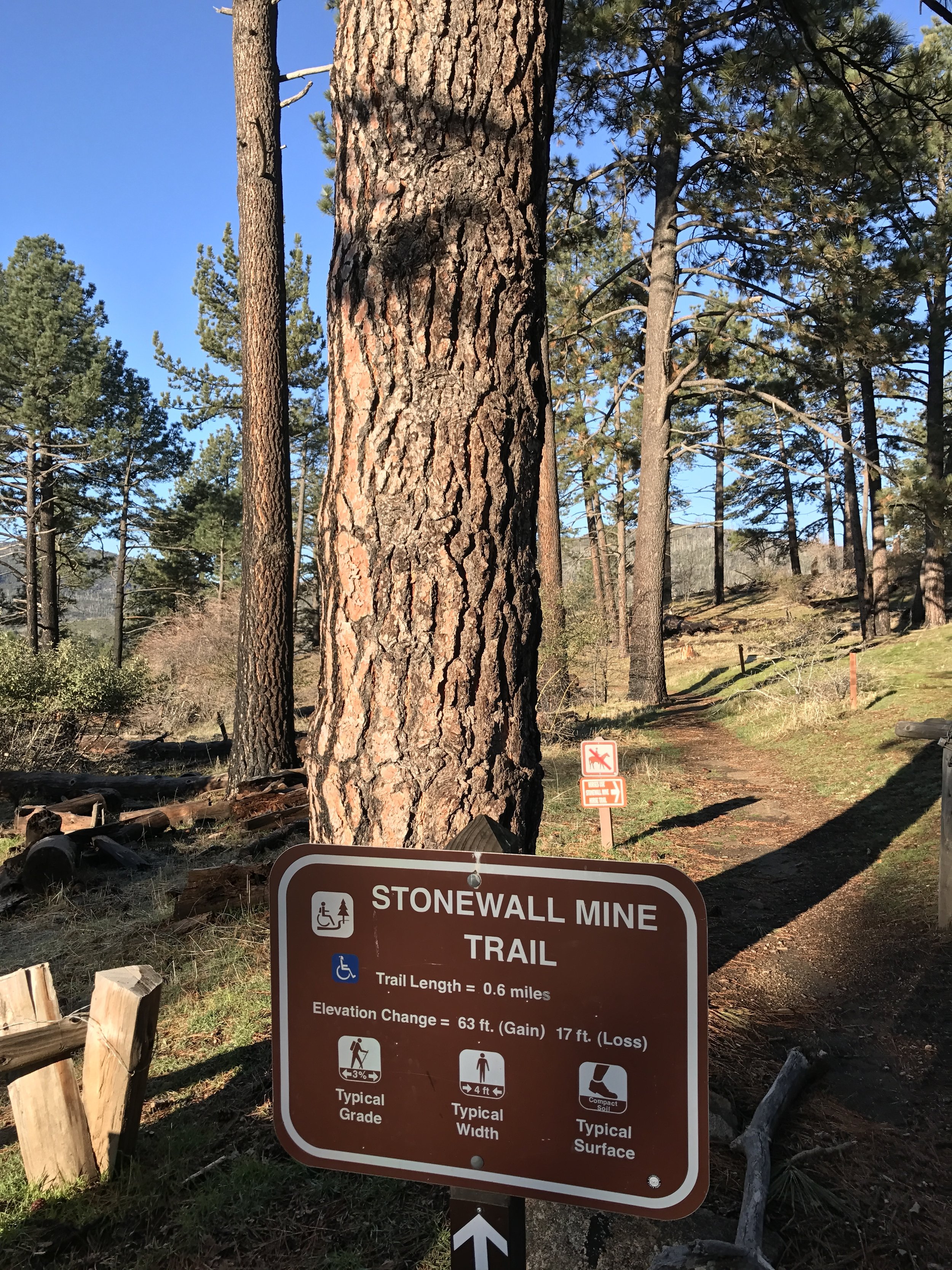
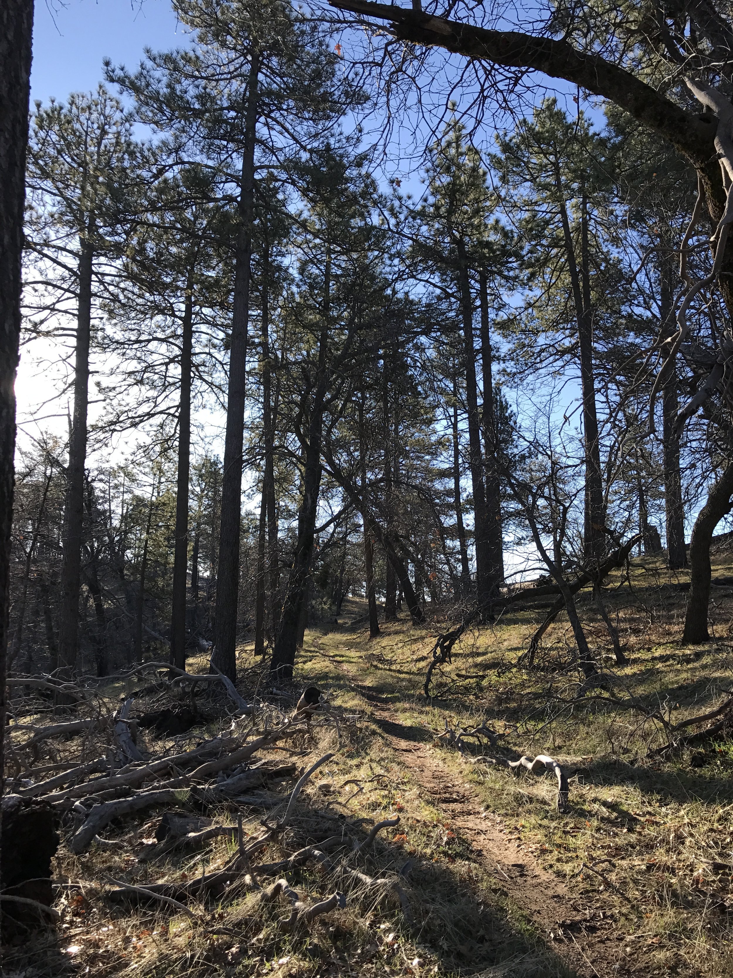
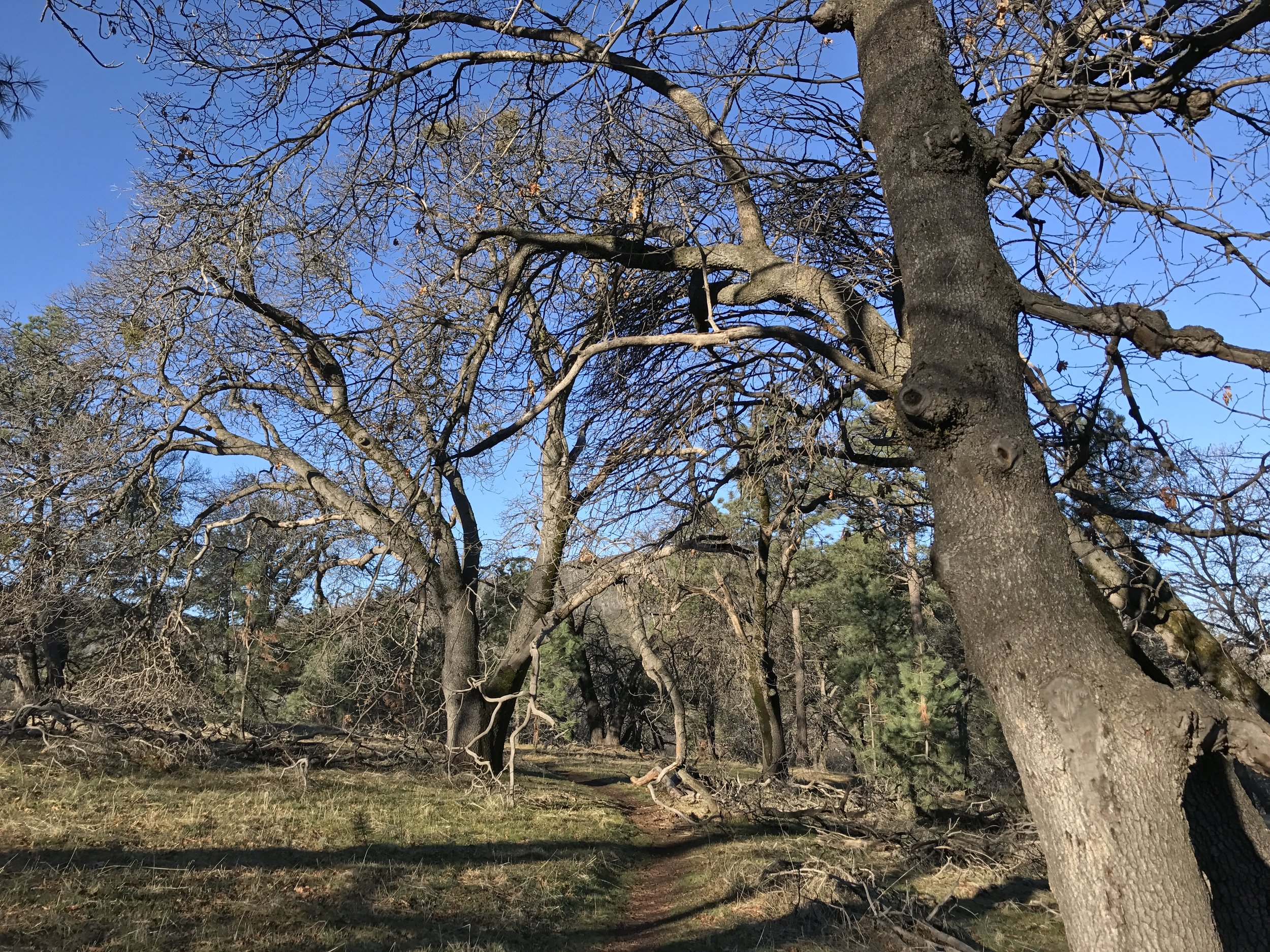
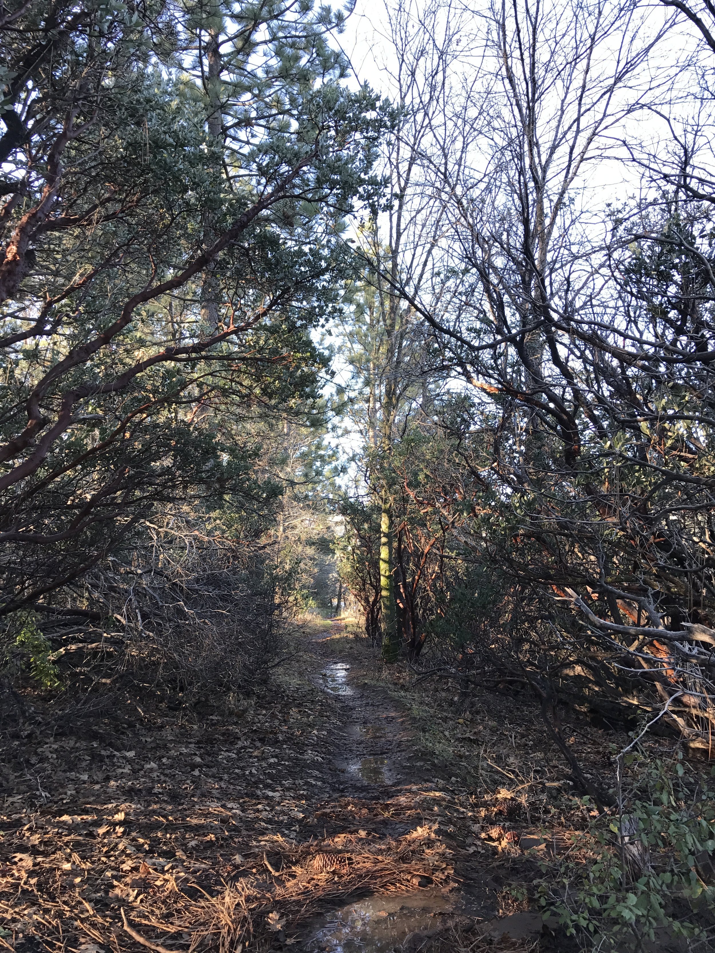
The state park road dead-ends at the remains of the mine, where there is a parking area, the trailhead, and a picnic area. From the trailhead, the trail heads up and over a slight rise, past the bathrooms, and along a ridge that provides sweeping views to the west and south of the state park, and of areas that were burned during the 2003 Cedar Fire. The trail then intersects with a number of horse trails, which makes navigation somewhat tricky, before heading down a gentle slope to the shores of Lake Cuyamaca. Depending on the time of year, and the rainfall during the winter months, the lake will either be up to the trail, or will be visible in the near distance beyond the fence. From this point, visitors can loop back around to the southwest to the trailhead, or follow the trail to the east, along the lake, before hooking south on the loop back to the use road to the mine. As there are a number of trails in the area, visitors are advised to have a map of the region, but as all of the trails are well-marked and maintained by the State Park, routefinding is fairly easy. The loop from the picnic area, past the mine, and back to the parking area is just above 2.5 miles roundtrip, and is suitable for all skill levels of hikers. While not much of the mine remains today, there are some excellent pieces of mining equipment visible, and some great interpretative displays about the region near the picnic area.
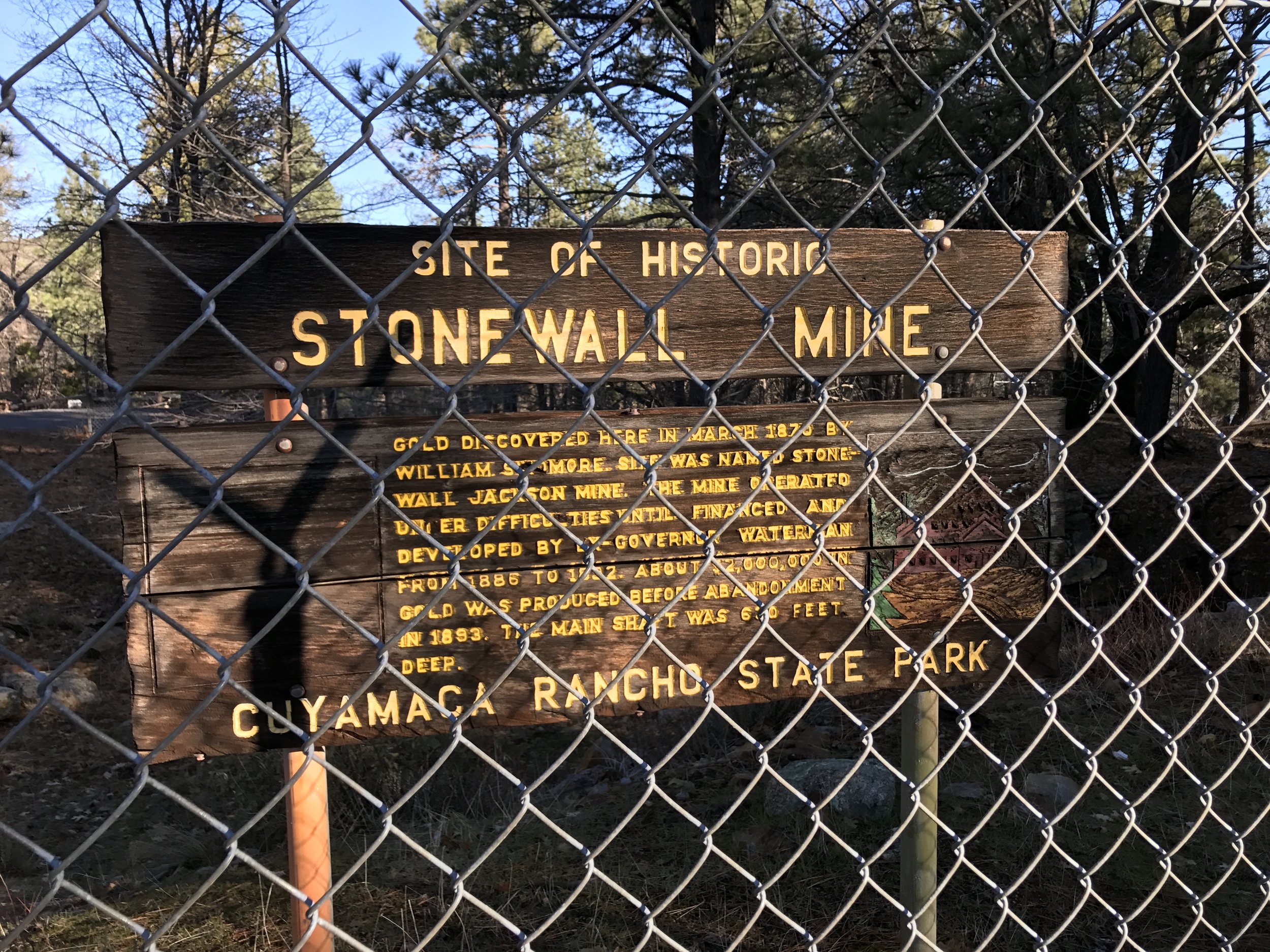
Historic Facts. While California was a solid state for the Union during the Civil War, a number of prospectors operating within the state were sympathetic to the Confederacy. As such, a number of spots populated and named by such individuals ended up with names that were “Southern”; including the Alabama Hills outside of Lone Pine, California. The Stonewall Mine is another example of this trend, as it was named for Stonewall Jackson, the Confederate General.