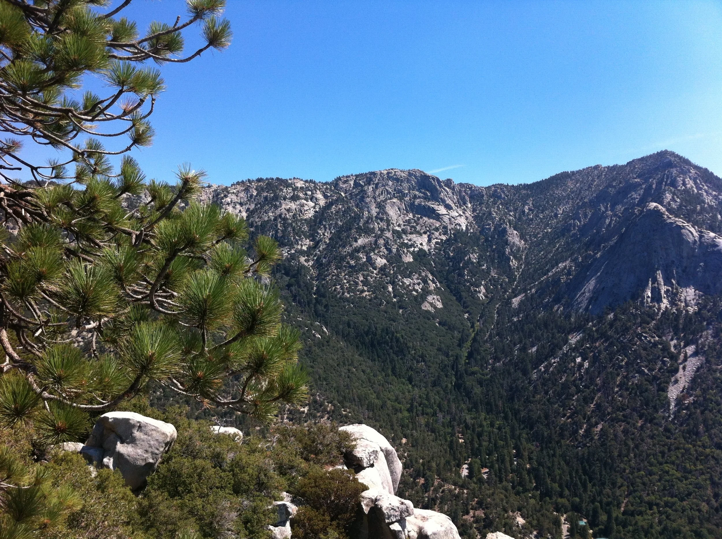
One of the things most people don’t realize about Southern California is that while we do have beaches and deserts, we also have mountains – and those mountains have a number of great spots for hiking. Idyllwild, California, is a small mountain town that is close to both Los Angeles, and San Diego; it is located on the Western side of Mount San Jacinto, and can be utilized as a jumping off point to climb the mountain; and is also a great spot to go day hiking in or around the city year-round. While I love climbing San Jacinto, and have done so many times, it is a strenuous climb, and is one that is not for everyone. Fortunately, in this case, you don’t have to be a climber to get a great view of Idyllwild, and the surrounding portions of San Jacinto State Park and the San Jacinto – Santa Rosa National Monument as these views can be seen from the best day hike in the area, Suicide Rock.
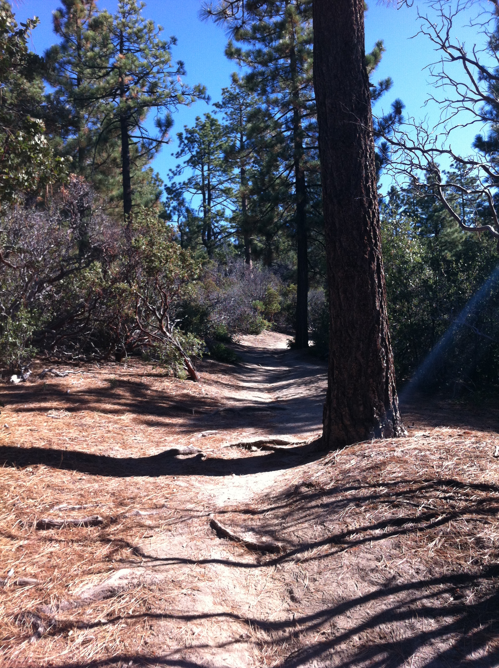
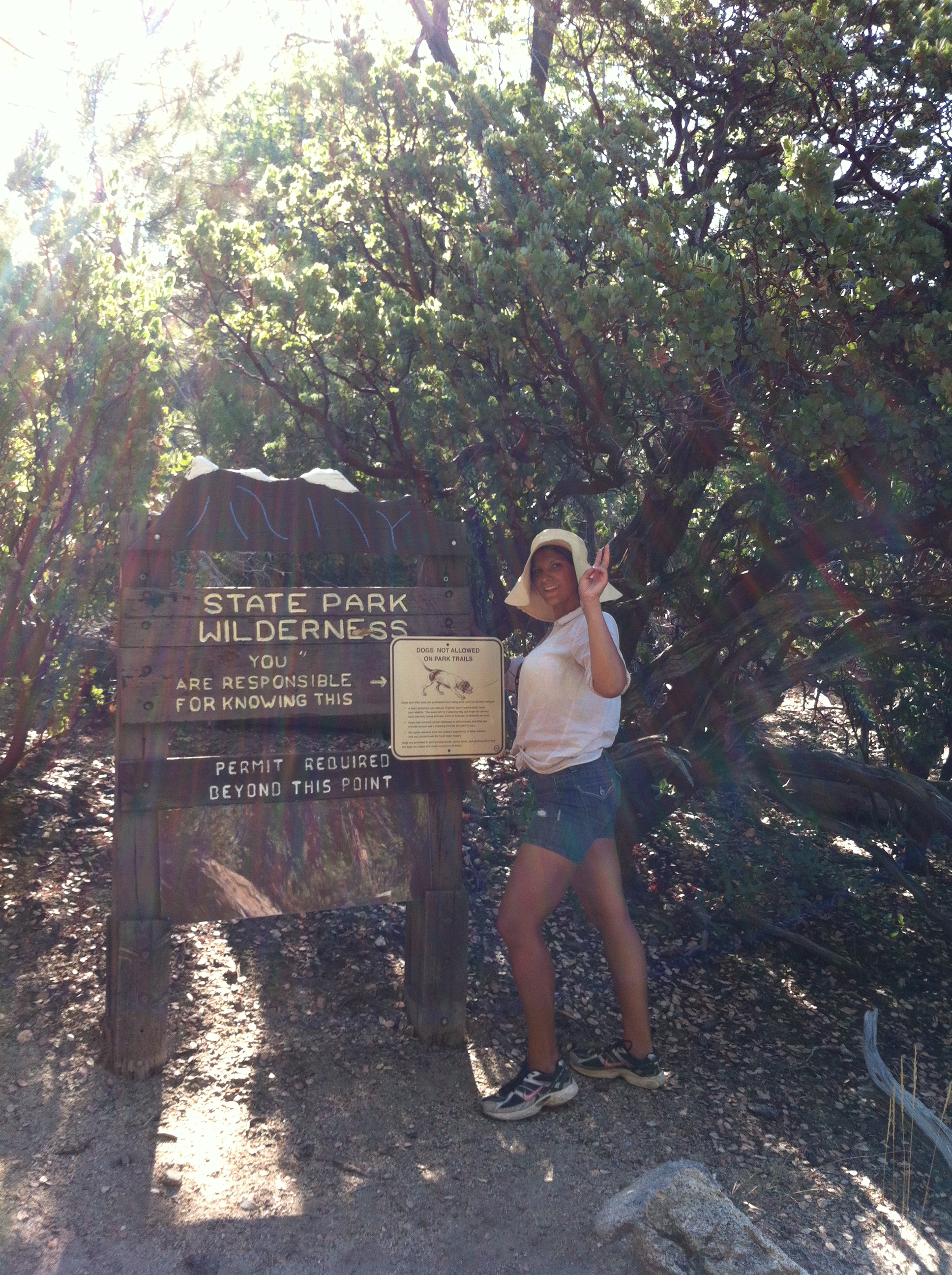
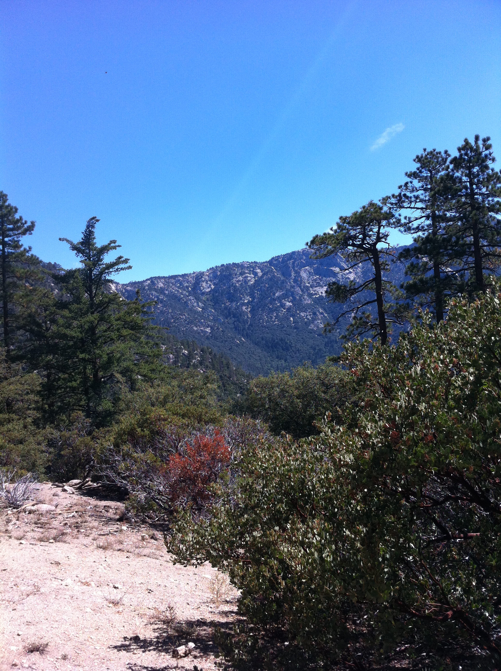
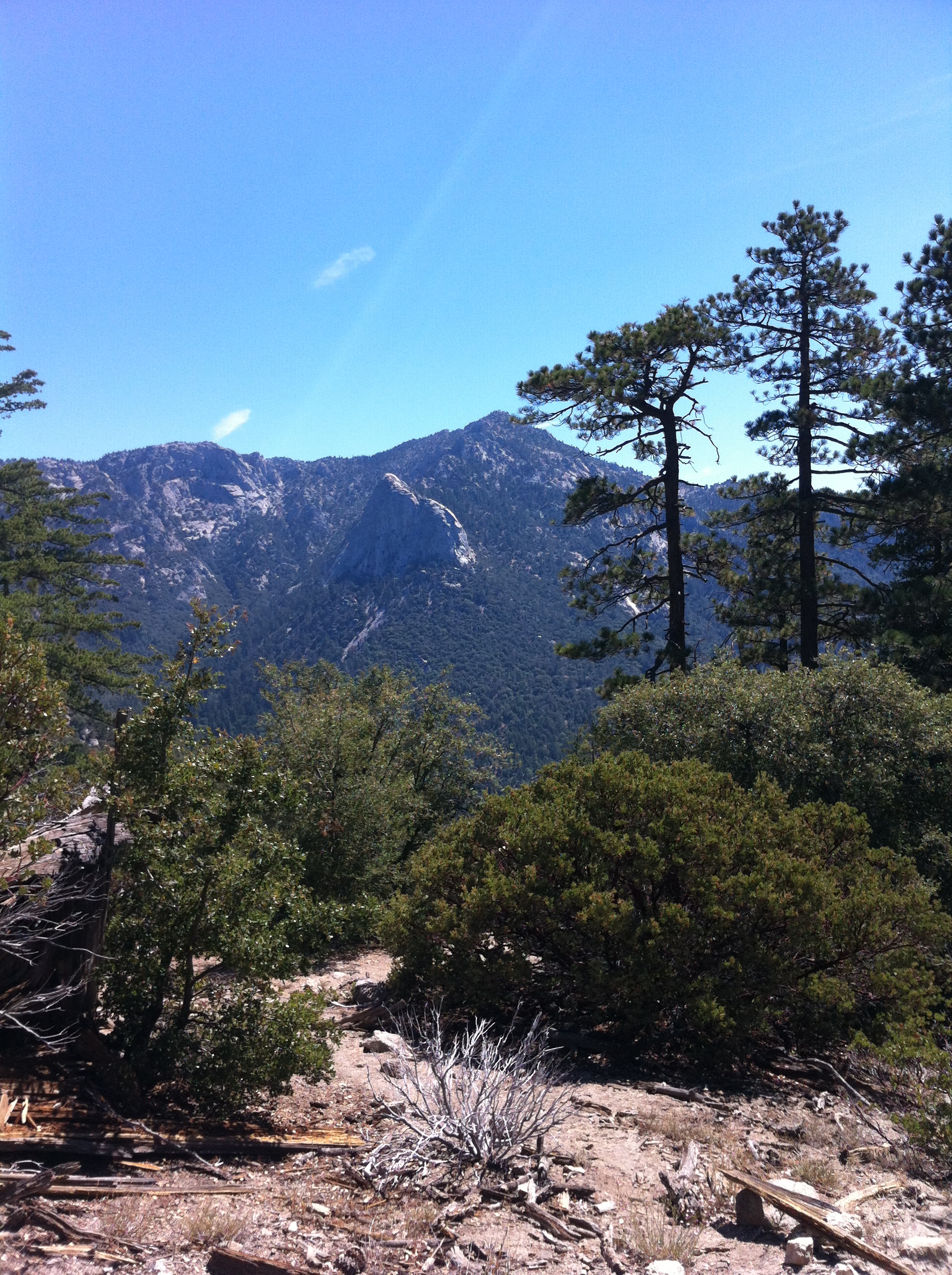
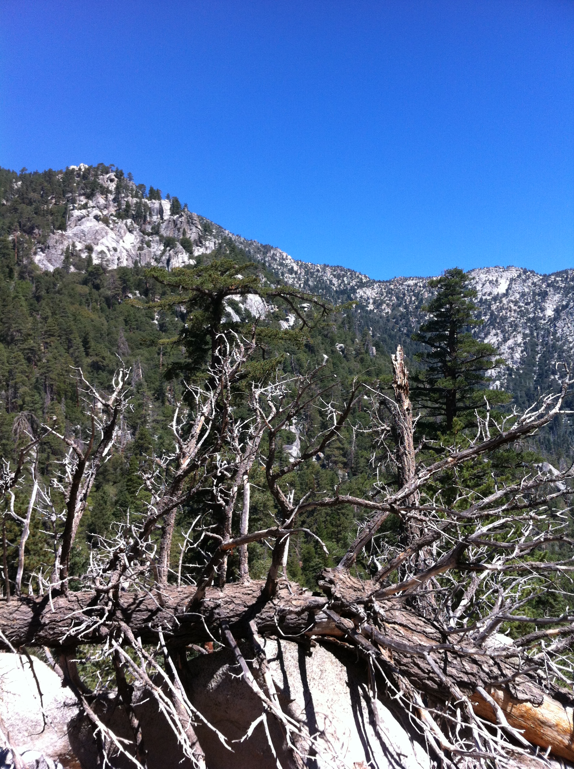
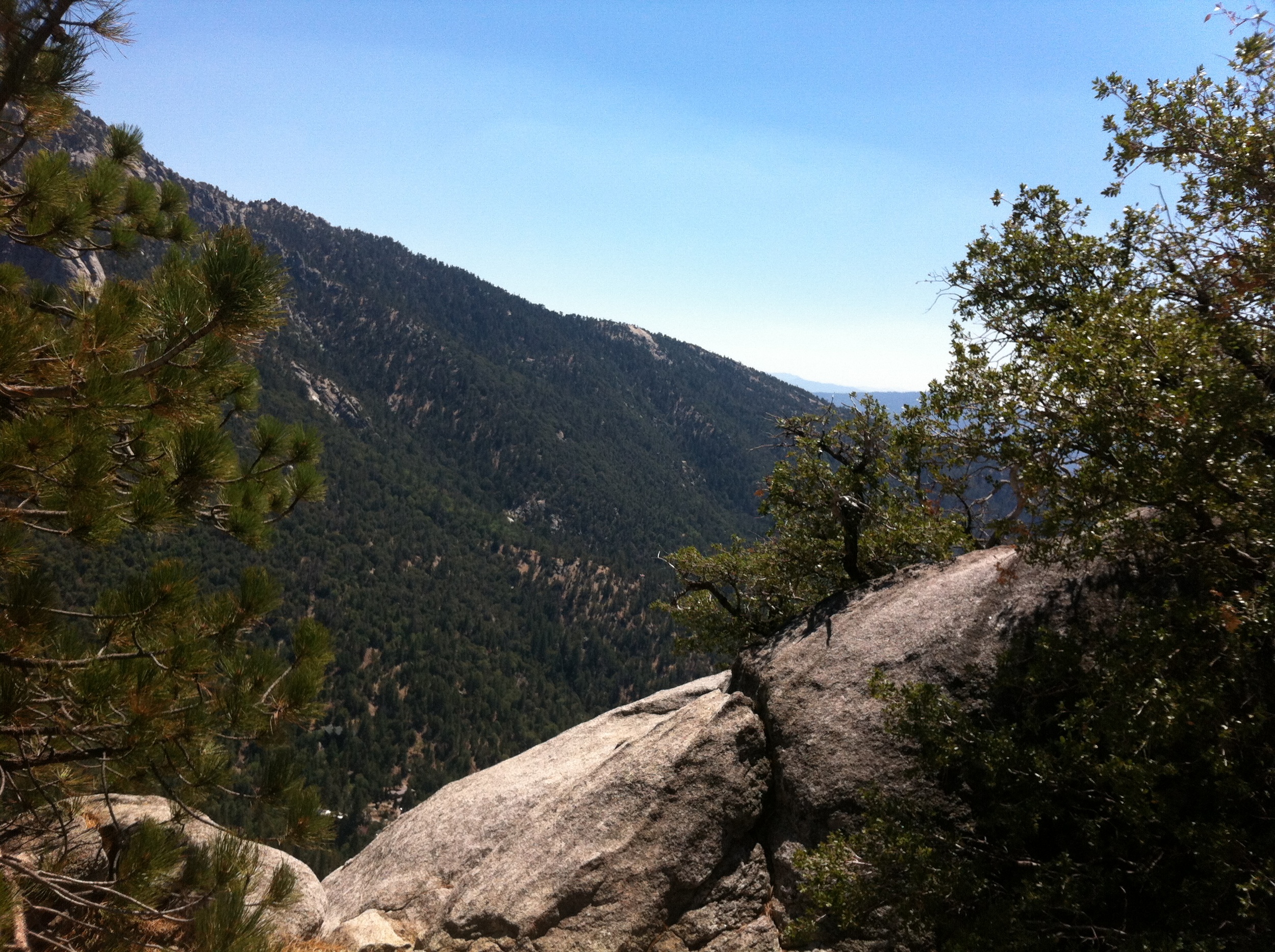
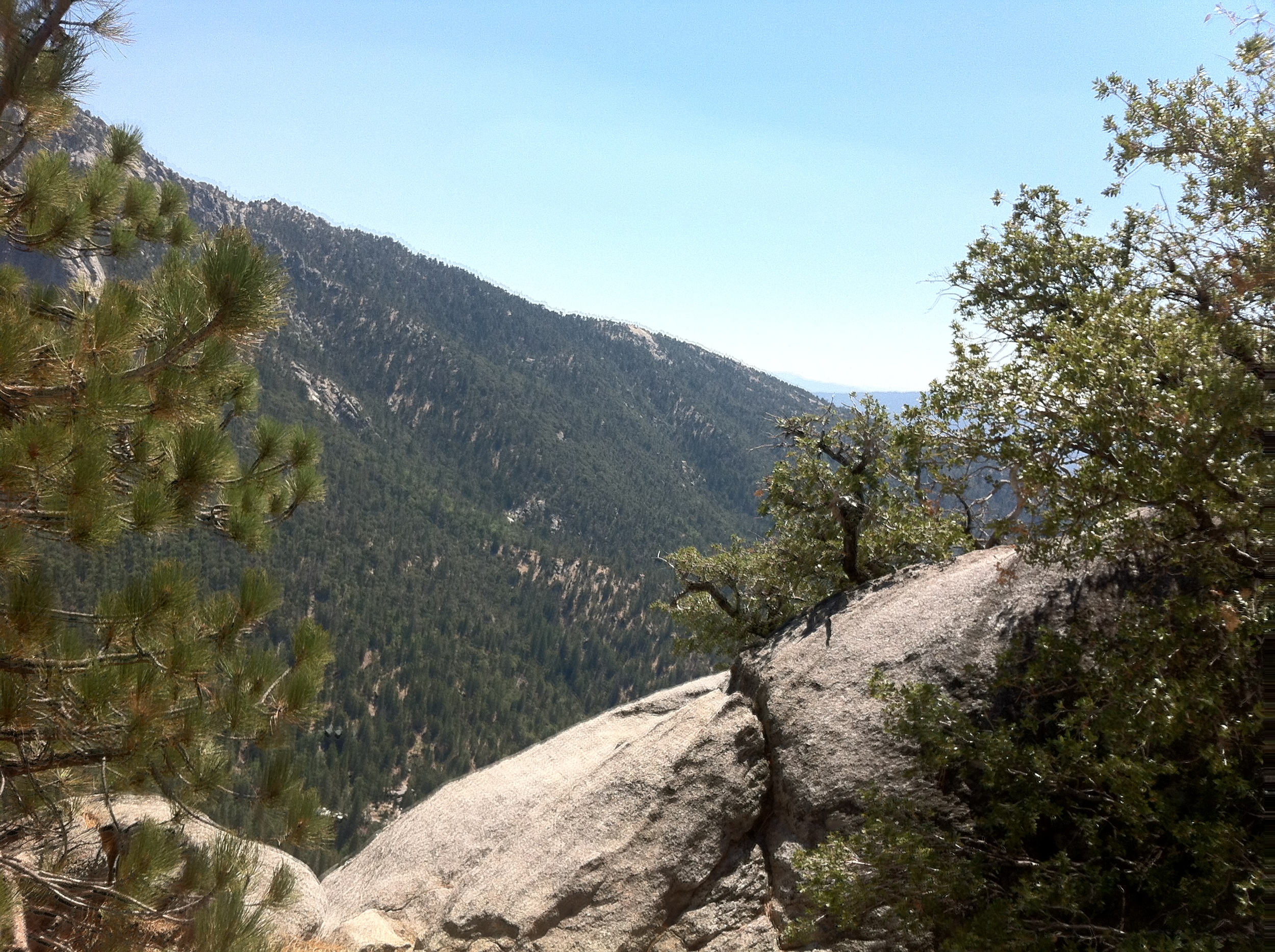
Directions: The trailhead for this hike is the Deer Springs Trailhead, which is located one mile North of downtown Idyllwild off of Highway 243. Prior to finding the trailhead, however, hikers will want to obtain a free wilderness permit from the California State Park Ranger station that is located half a mile outside of downtown Idyllwild on Highway 243. After obtaining a wilderness permit, follow Highway 243 for another half mile, whereupon there will be a large dirt parking area on the right (North) side of Highway 243 for trailhead use, but during summer weekends, the parking area can fill quickly. The trailhead is located immediately behind the parking area and heads directly uphill through numerous oak trees. For 2.3 miles, the trail switchbacks up the side of San Jacinto, before ending at a trail junction. Follow the trail right (South/Southeast) for one mile to the summit of Suicide Rock at 7,500 feet. From the summit, there are excellent views of the San Jacinto wilderness, Taquitz Peak, and the town of Idyllwild below. Once you are done admiring the view (don’t get too close to the edge!) turn around, and head back down for a moderate 6.6 mile roundtrip hike.
Tips: Although Suicide Rock does not have the best name, it does have quite a bit of history, and a little bit of myth and legend. The rock is named for two Cahuilla Native American lovers who threw themselves off rather than be separated – an ancient Southern Californian version of Romeo and Juliet. Interestingly enough, Suicide Rock was initially named “Suicide Peak” until the 1940s, until an investigation revealed that it was not a separate mountain or peaklet of the San Jacinto Range, but was instead just a rocky outcrop. Irrespective of it being a mountain or not, it, along with Taquitz Peak remains a popular area for rock climbers as well. During the summer months, the trail can be quite hot and dusty, and any potential hikers should plan on being well prepared with plenty of water. In my opinion, while the hike is pretty in the spring and summer, the best time to do the hike is in the winter as the area really shines with pristine beauty after a storm has placed some snow on the mountain.