New Zealand

Victory Beach

Victory Beach

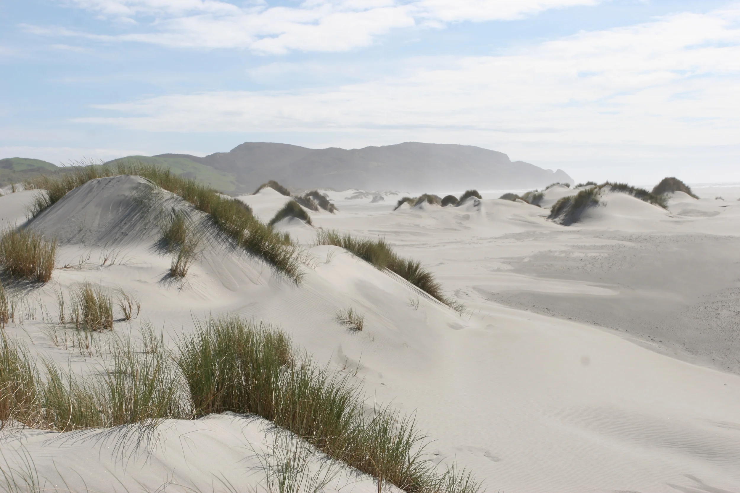
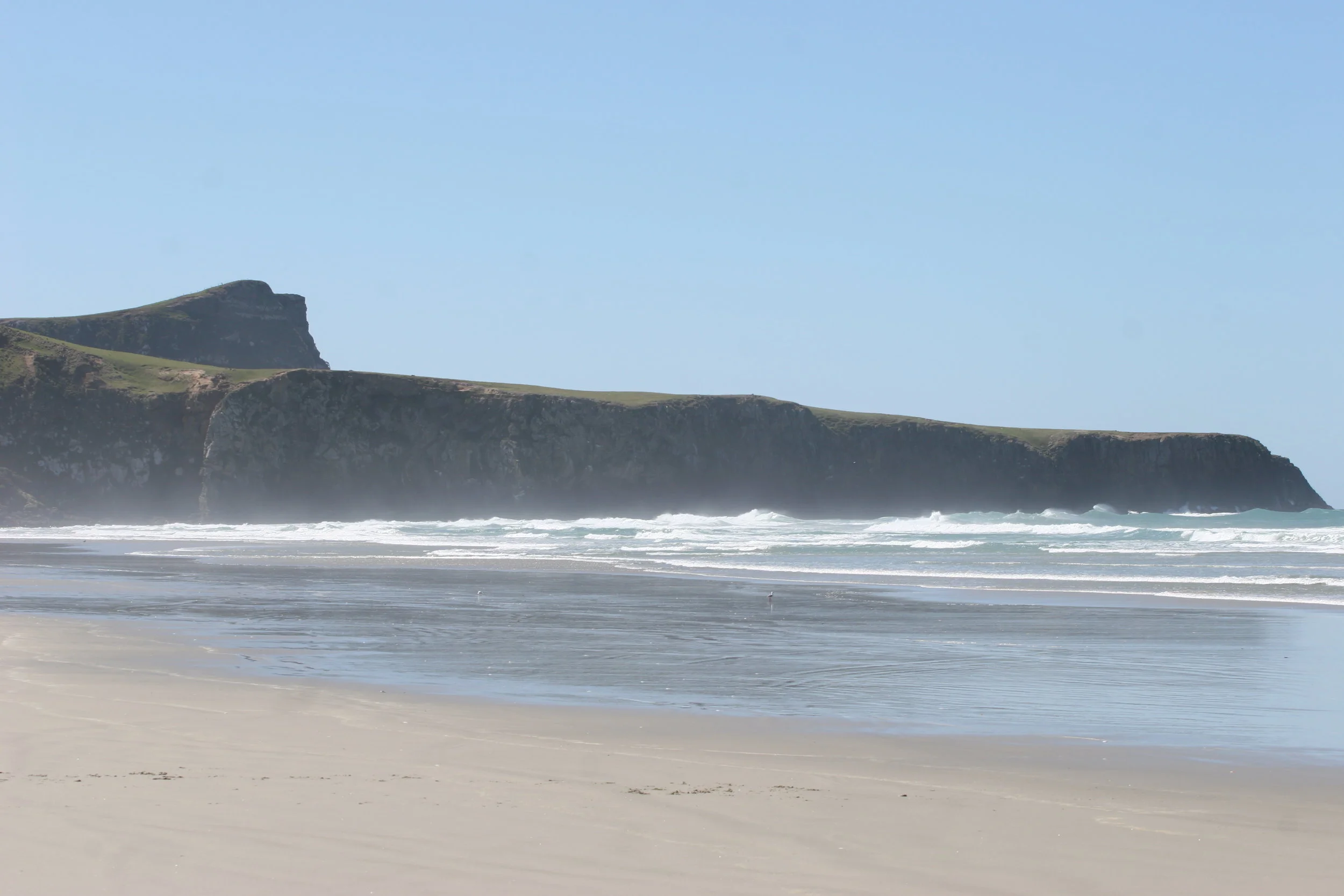
While the entirety of New Zealand has a number of pristine beaches, only one beach has a unique off-shore man-made feature and that beach is Victory Beach on the Otago Peninsula. The beach is named for the SS Victory, which, in 1861, ran aground at the end of the beach when under the control of one George Hand (who was later found to be intoxicated at the time of the wreck). While the majority of the wreck was auctioned off during the nineteenth century, and is now absent from the beach, one item remains - one of the huge flywheels of the wreck, which remains affixed about ten feet from the shore, a giant steampunk relic of a long-lost time.

The Chasm

The Chasm

If one has the time, and the luxury of having a car, or rented a car, driving around the South Island of New Zealand is one of the great adventures in life. Aside from cities and towns, a majority of the island has little traffic, and nothing but sweeping views of far off mountains, expansive coastlines, and almost everything in between. While it is hard to single out one specific drive with the “best” views, any list would surely include the stretch of State Highway 94 from Te Anau to the Milford Sound (otherwise known as the Milford Road). Along this 118 kilometer (73 miles) stretch of road, one has fantastic views of Fiordland National Park, with alpine meadows, snowcapped peaks, waterfalls, old growth forests, and glacial valleys. The only downside to this road is that unlike other stretches of New Zealand highways, it is narrow, and at times, does not have places to pull out and admire the view.

Moeraki Boulders

Moeraki Boulders

One of the most unique sights in New Zealand lies along the East Coast of the South Island, in the Otago region. The Moeraki Boulders are a series of spherical boulders that appear randomly placed along the tideline. With unique and distinctive lines crisscrossing their surface, they look like something out of a science fiction novel, or, in line with New Zealand’s spate of recent high fantasy movies, dragon’s eggs. The scientific explanation for the boulders is that they are concretions (hard, compact items that are formed by precipitation of mineral cement that are found in sedimentary rocks) that have been eroded for the last sixty-five million years. However, despite the geologic and scientific explanation that exists, the Moeraki Boulders also have a cultural and mythological explanation as well.

Farewell Spit

Farewell Spit

After all of the Lord of the Rings movies, and the Hobbit movies, much is made of New Zealand being exactly like Middle Earth, with rolling green hills, high snow-capped mountains, and lush forests and roaring rivers. While New Zealand has all of these things and more, it also has an area that appears to be lifted straight from the Sahara, or from one of the deep deserts of the world. That place is the Farewell Spit, a fifteen mile (25km) stretch of land that extends from the northern section of the South Island of New Zealand. And for those willing to explore it, the Farewell Spit features sand dunes, blowing sand storms, long stretches of sandy coast, wildlife, and hidden pools of water.

Key Summit

Key Summit

From the sand dunes of the Farewell Spit, to the volcanic terrain of Tongariro National Park, to the lush forests of Rakiura National Park and the tropical beaches of Abel Tasman, New Zealand has almost every type of backcountry terrain that a hiker could want. With so many picturesque and jaw dropping locations, it is hard to find first, a bad hike in all of New Zealand, and second, “the best” hike in all of New Zealand. However, if you are a person who likes superlatives and stunning alpine views, the best hike in all of the three islands of New Zealand (North, South, and Stewart) might just be Key Summit.

Tonga Quarry to Torrent Bay, Coast Track

Tonga Quarry to Torrent Bay, Coast Track

The best part about backpacking the Coast Track is the stunning sunrises. While there are many differences between day-hiking the coast track and backpacking the Coast Track, the main difference is that as a day hiker, the odds of you seeing the sunrise – or sunset are slim. However, if you are backpacking, you will see sunrises, sunsets, and everything in between – including some stunning nighttime skies.

Coast Track, Abel Tasman National Park

Coast Track, Abel Tasman National Park

The Coast Track is a hiking trail that extends from Wainui Bay to Marahau in Abel Tasman National Park. The trail is 55.2 kilometers long (for Americans, that’s 34.29 miles long, so we’ll round up, and call it 33.3 miles total distance), and it can be hiked and or backpacked from North (Wainui Bay) to South (Marahau) and South (Marahau) to North (Wainui Bay). This trail, or as New Zealanders call it, “track”, covers a variety of stunning terrain, from forested areas, to estuaries, to golden sand beaches, along the shores of the Tasman Sea.  It is considered one of New Zealand’s “great walks”, meaning that while it can be hiked piecemeal in a series of day hikes, it can also covered, and is best appreciated in a one-to-four day backpack trip (which New Zealanders call “tramping”). The best time to go on this great walk along the Coast is during Spring and Summer in New Zealand, which is from October to March.