
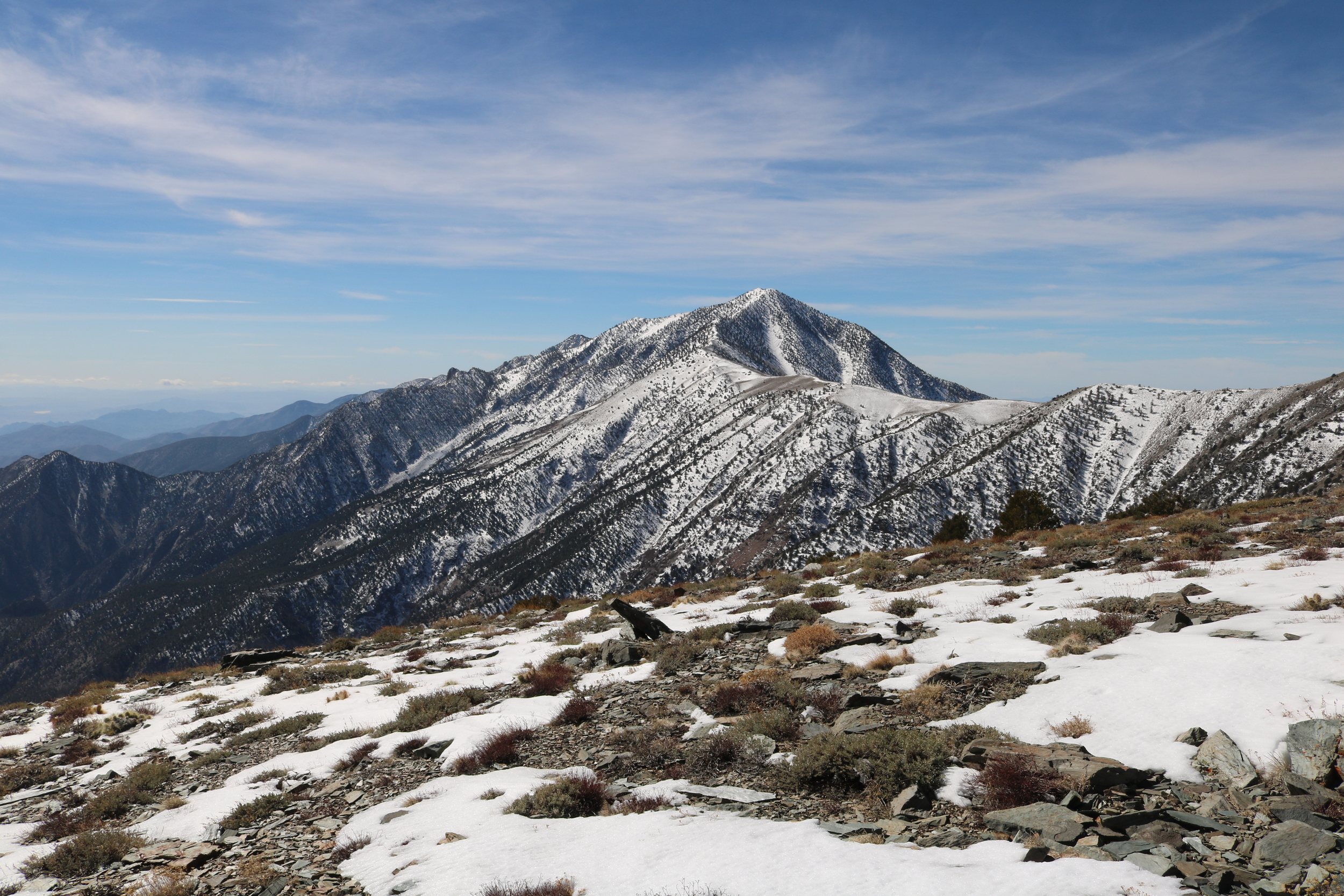
Telescope Peak, Bennett Peak, and Death Valley, March 2016
In connection with my Shorty’s Well attempt later this month, I wanted to check the snow conditions on and around Telescope Peak. Unlike some of the other mountains in Southern California, Telescope Peak does not have its own webcam, and its remote location in the Panamint Mountains ensures that fewer mountaineers climb it in the winter, which means that information about the mountain is harder to obtain. Such information in the context of a Shorty’s Well attempt is crucial for safety purposes, for planning (knowing which gear to pack) – and for obtaining an idea of the conditions on the route. For me, there was also the curiosity factor as well – California has been experiencing an El Nino this winter – and I wanted to know how much (or how little) snow was on the peak. Based on my prior mountaineering experiences in the region, I knew the best and easiest way to get this information was to climb Rogers Peak, which overlooks the Panamint Valley to the West, Death Valley to the East, and Telescope Peak to the South. Yesterday, I was able to successfully climb Rogers Peak, and again found that while Death Valley is usually the hottest place in North America, on occasion it can also be one of the coldest spots as well.
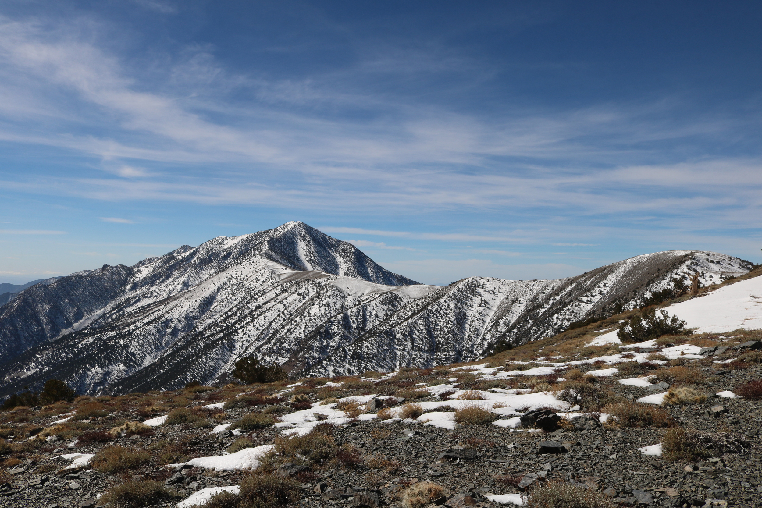
The Route/Conditions: As I mentioned above, I chose Rogers Peak for my snow survey of Telescope because it was an “easy” way to get the information. While access to Rogers Peak is through a fire road, it is worth noting that in winter, nothing is “easy” as it seems. Also, I would be remiss if I did not mention that Rogers Peak is a 9,994 foot mountain, and like most things in life, “easy” is a subjective term that can mean many things to many people. Finally, for people that are not familiar with the area, Rogers Peak is one of three mountains in the Panamint Range of Death Valley that are generally climbed together – a sort of “three peaks in one day” challenge. The other two are, respectively Telescope Peak (the highest point in Death Valley at 11,043 feet), and Bennett Peak (9,980 feet). While Rogers can be climbed as part of the three Panamint Peak trifecta from the main Telescope Peak trail, it can also be climbed separately as a stand-alone mountain via the fire access road.
Telescope Peak, Death Valley, March 2016
This fire-access road route is the main standalone route up Rogers, and is 2.65 miles (one way) to the summit. Having said that, this route leaves from the Mahogany Flat campground, which is closed during the winter months, and access to the campground by vehicle is restricted by a National Park Service gate. The nearest access point to Rogers during the winter months is the parking lot at the Charcoal Kilns interpretive area. From the Charcoal Kilns parking area, it is a straightforward process to follow the dirt National Park Service road up to Mahogany Flat, whereupon one can then follow (or modify slightly) the traditional summer fire access route, depending on the conditions. This section of road/trail does provide a decent amount of elevation gain, as the Charcoal Kilns are at 6,800 feet, and Mahogany Flat is at 8,130 feet. Fortunately, as the road from the Charcoal Kilns to Mahogany Flat is two miles (one way), the 1,330 feet of elevation gain is somewhat spread out. This additional distance ensures that the total round-trip distance for a winter attempt is 9.2 miles, with 3,194 feet of elevation gain. (For hikers looking for a summer challenge, this route is accessible year-round, however, proper preparation would be required for Death Valley’s summer heat, as the route is very exposed).
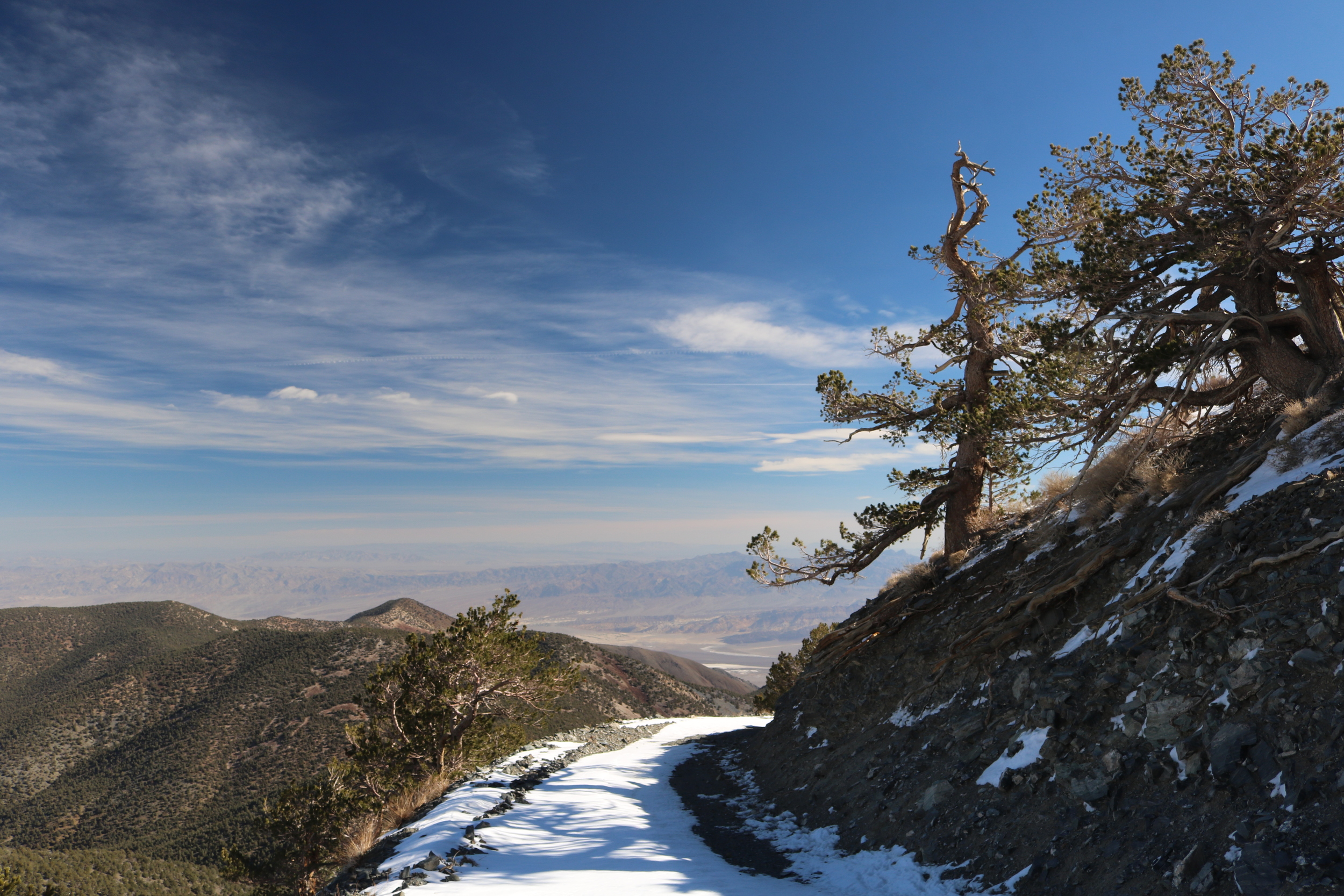
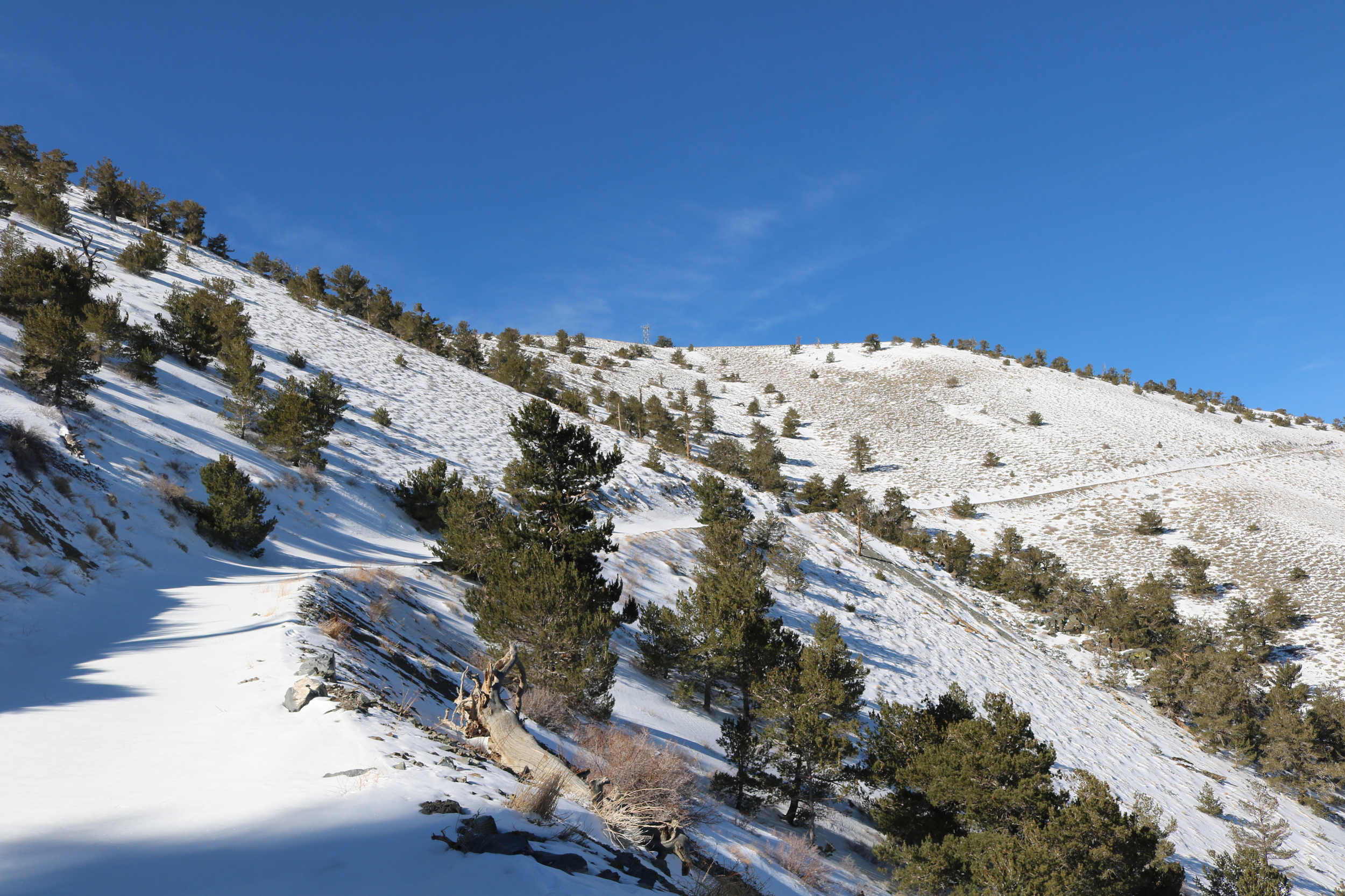
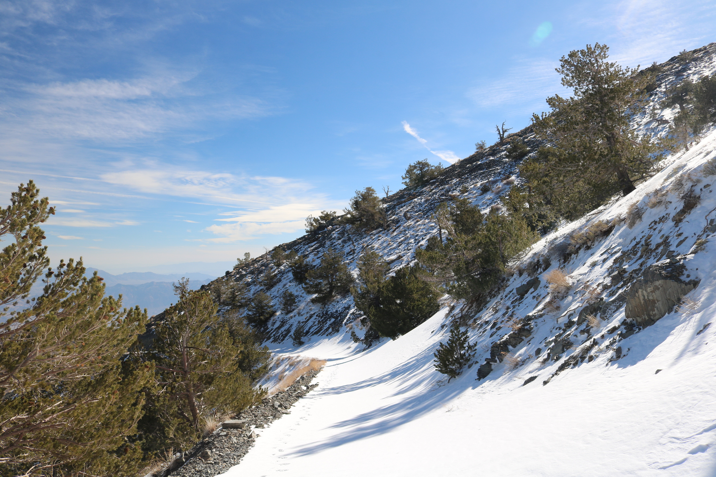
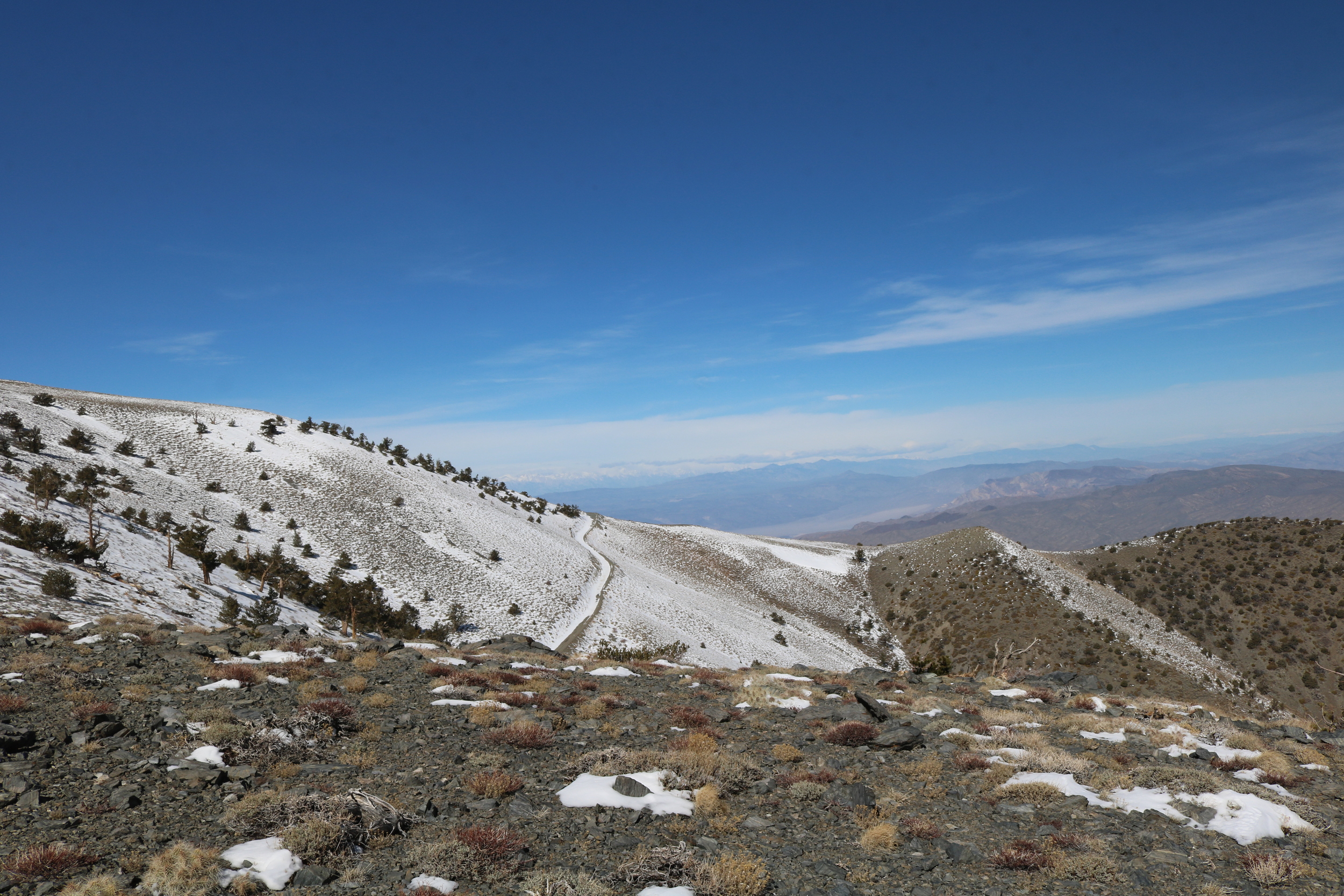
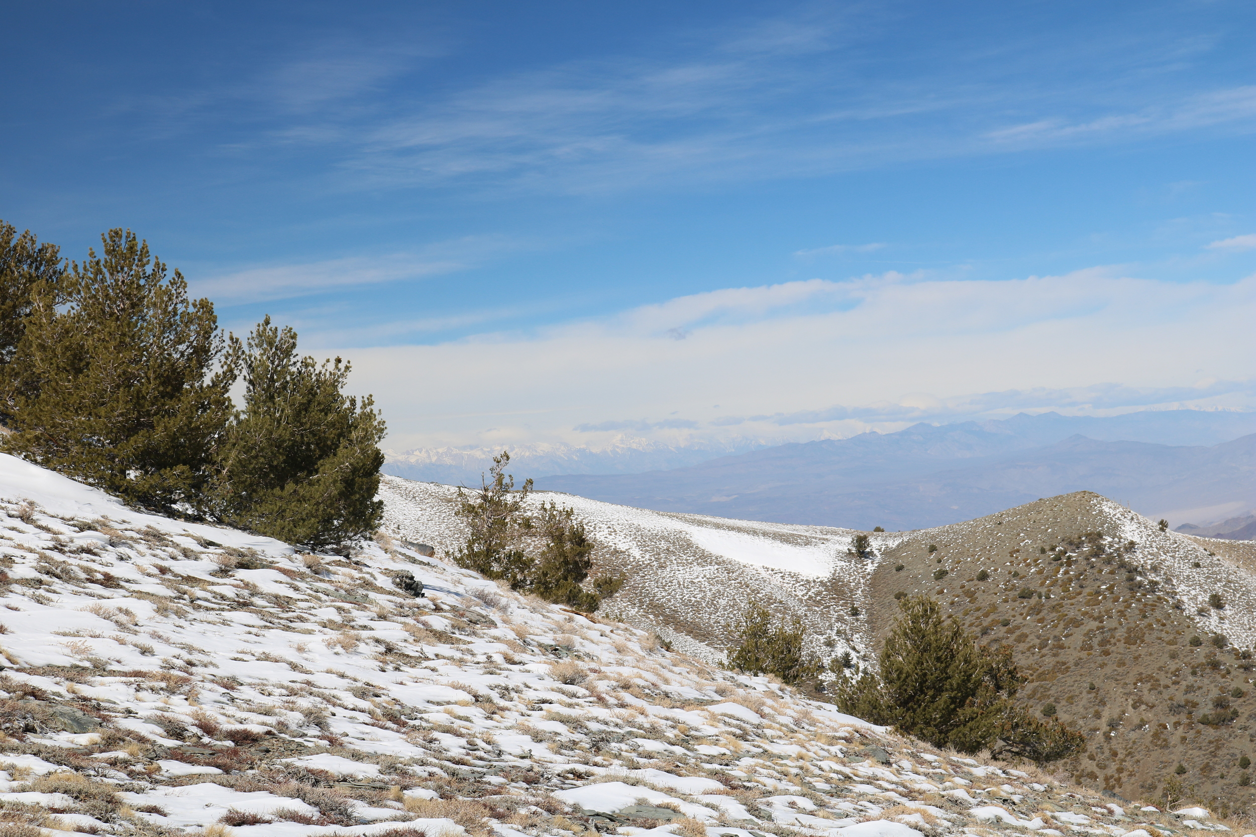
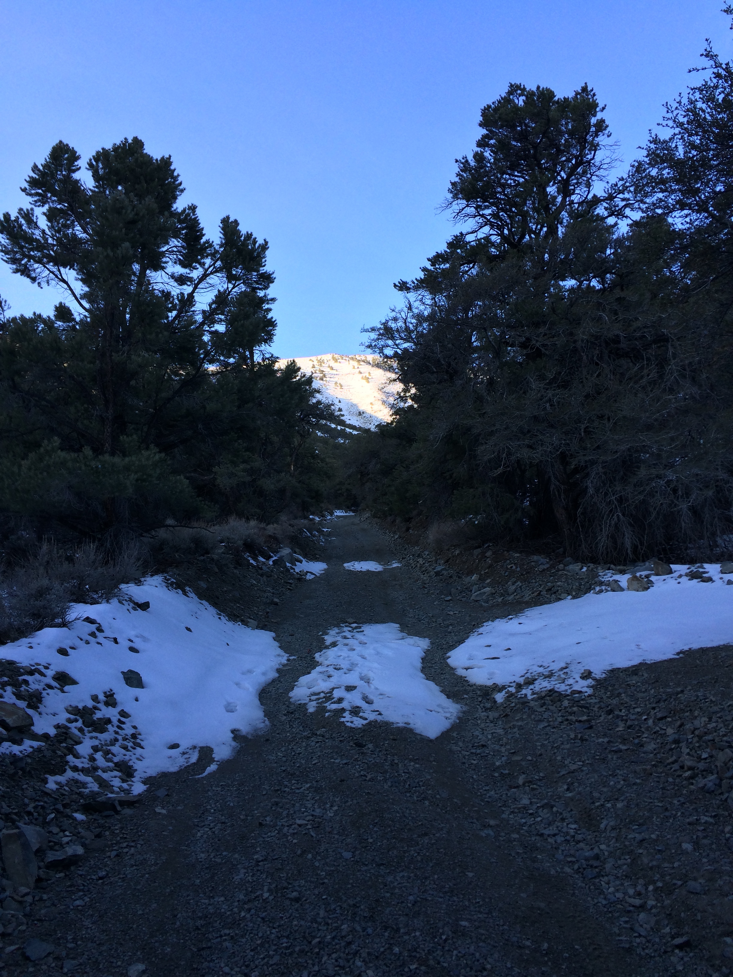
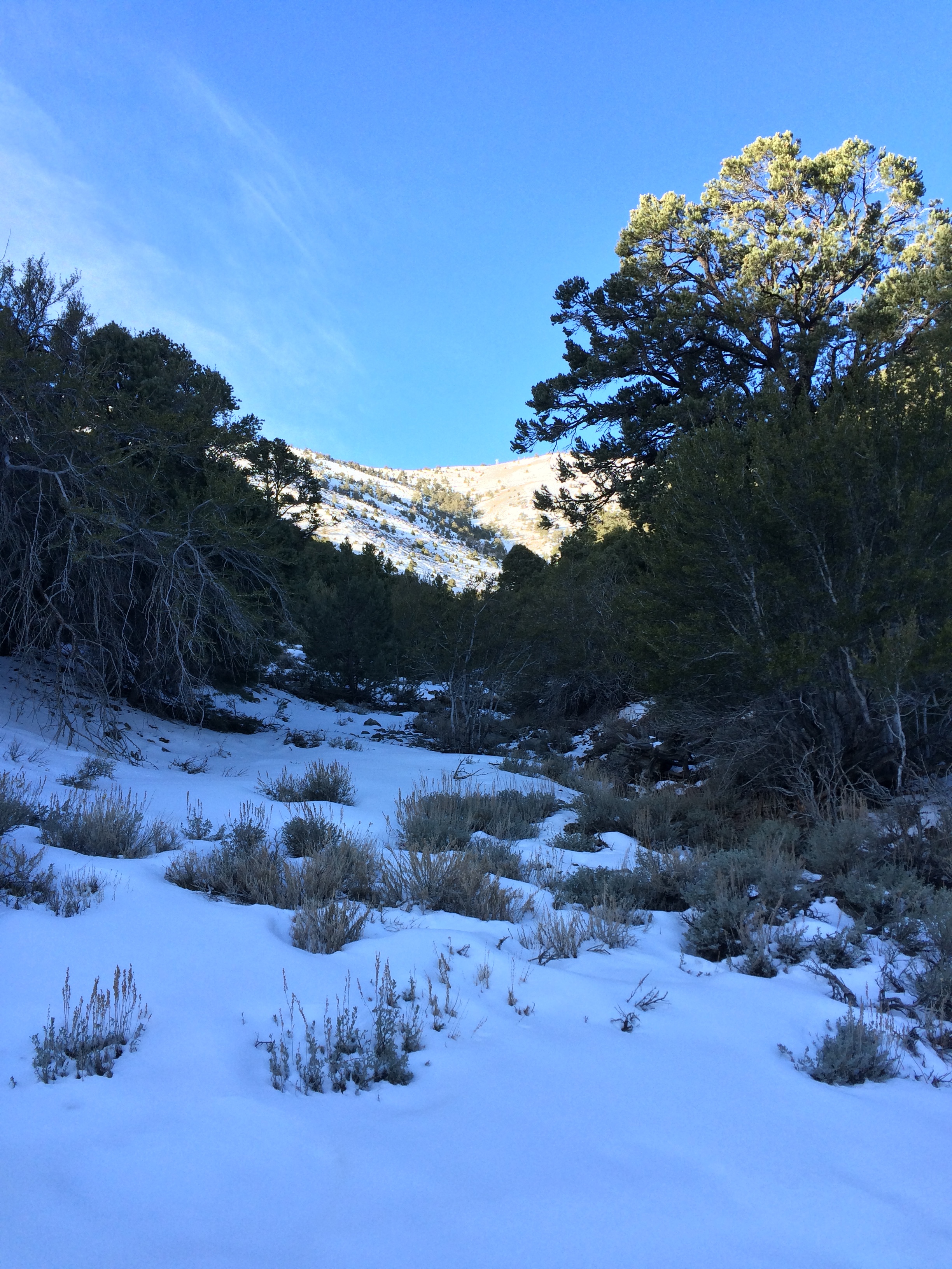
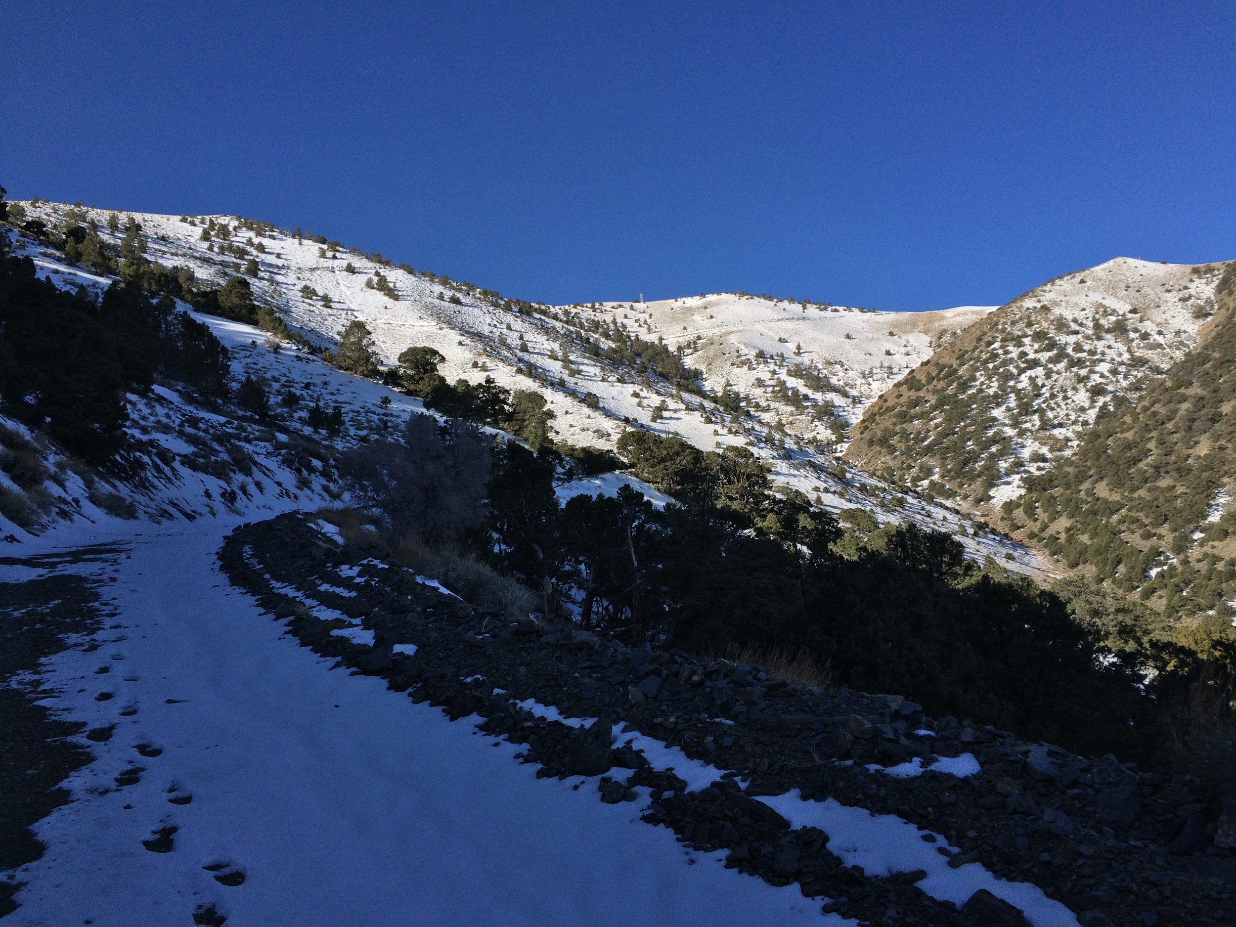
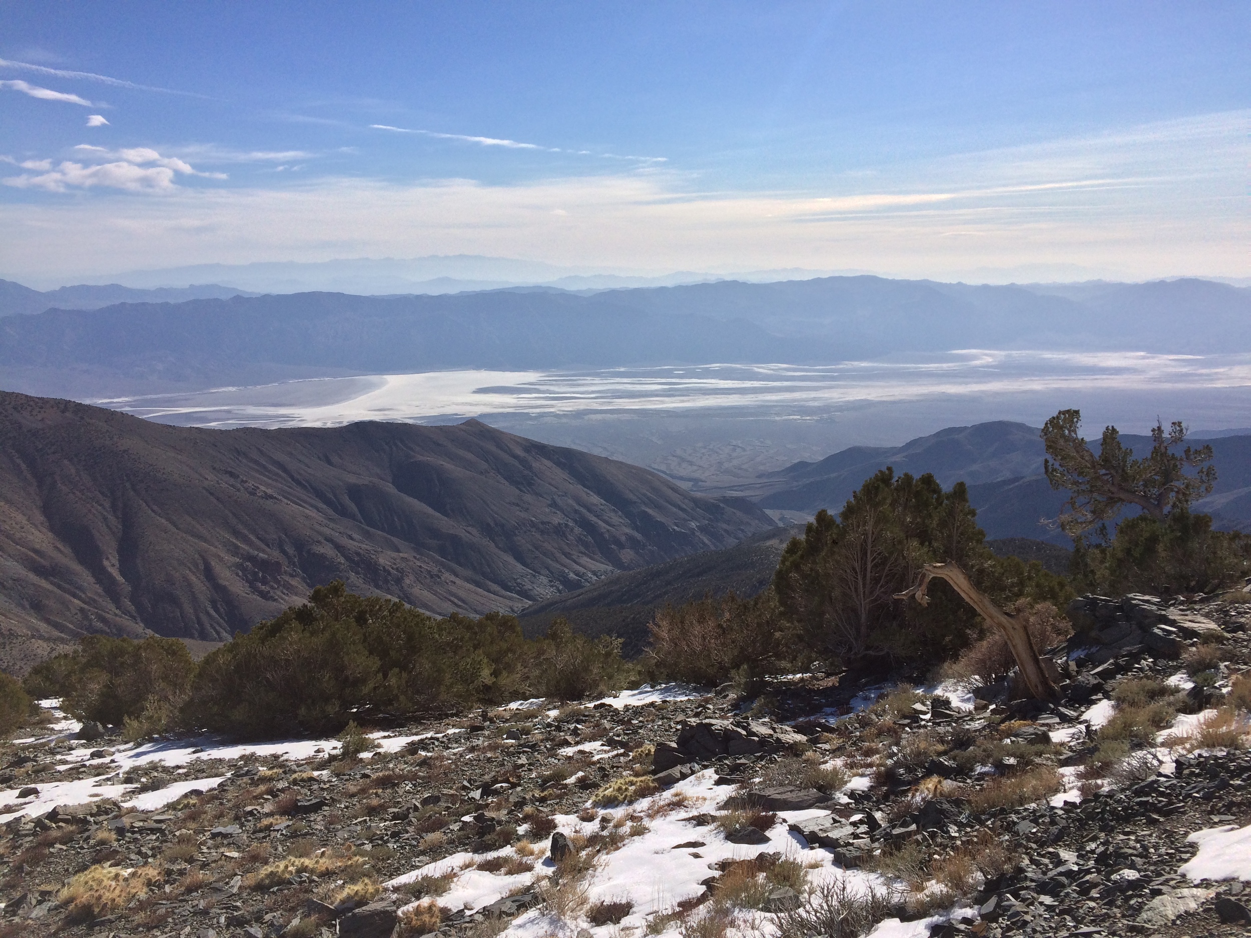
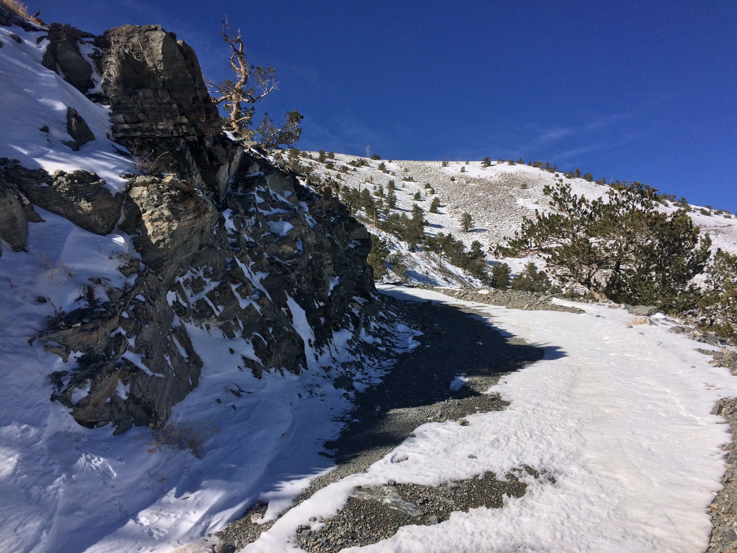
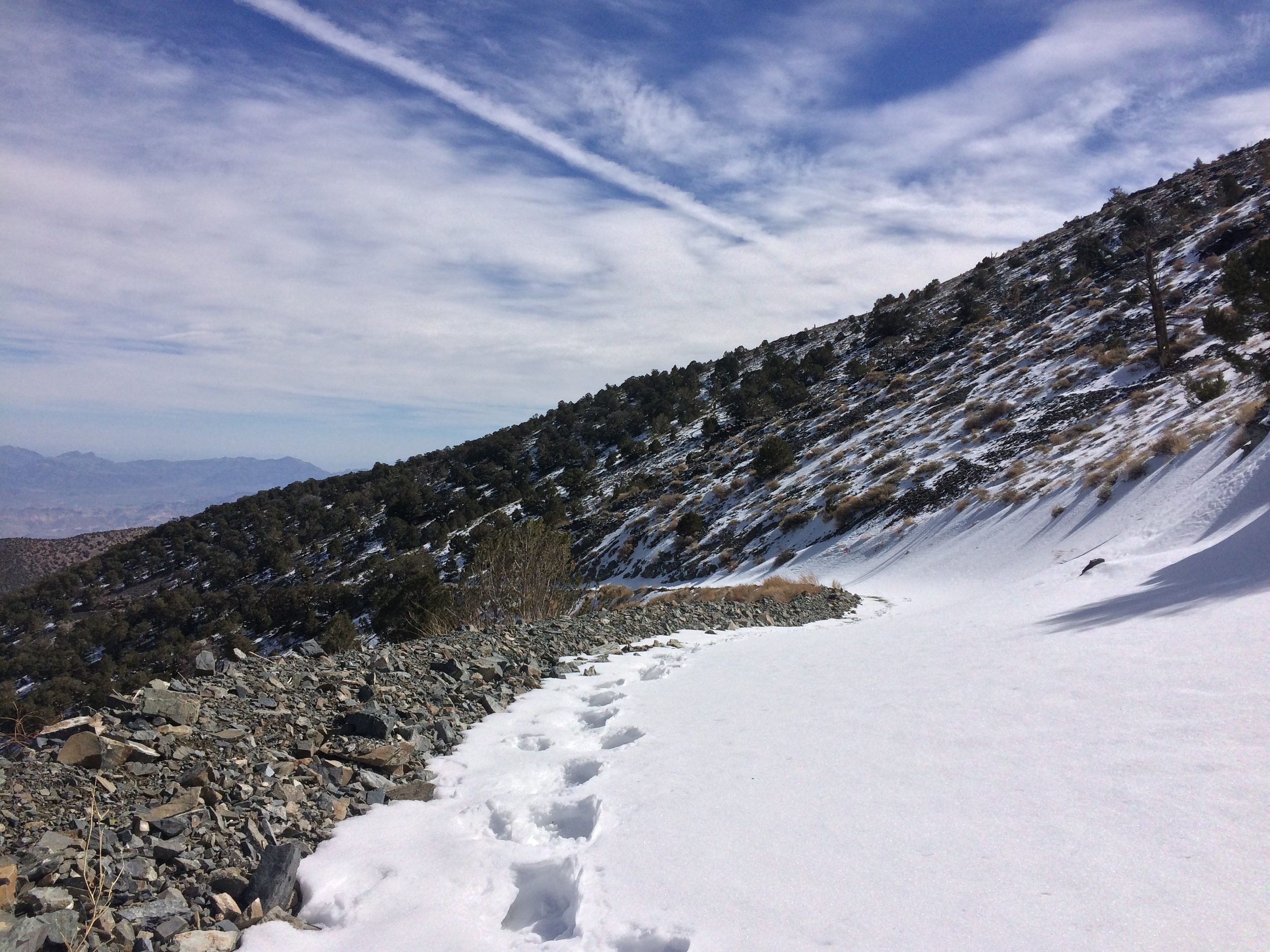
Even with yesterday’s time change, I was able to get an alpine start, and headed up the road around sunrise. According to my thermometer, it was ~30 degrees at the kilns, but due to the leg burning ascent, I was warm enough to layer down fairly fast. In terms of the snow, while there were some small drifts at the kilns, and from thereon up, they were not a navigation problem. These low elevation drifts were mostly no larger than 2-3 feet in width and length, and no deeper than 1-5 inches. Shortly before Mahogany Flat (~7800 feet), there was more consistent coverage in terms of snow, but such drifts were also relatively shallow. While the access road to Rogers was readily apparent, at ~8,700 feet, it became completely covered with snow and ice. In terms of snow conditions, the snow at the lower elevations was mostly compacted and icy, whereas from 8,700 feet to the summit, the snow was mostly unpacked and unconsolidated powder. Even though I had a slight slog to the summit from 9,200 feet onward through 1-4 feet of powder, the payoff was again worth it with great views of the surrounding area. In terms of temperature wise, while it was a bluebird day, it never really became warm, and on the summit, without a breeze, it was ~21 degrees.
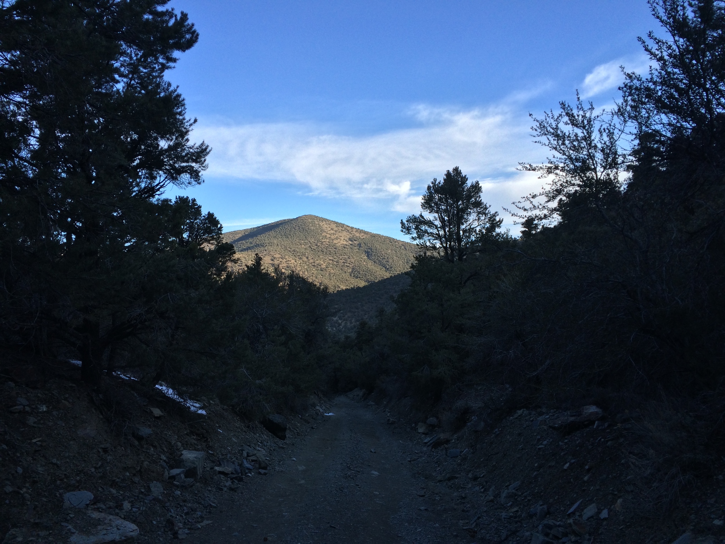
The Charcoal Kilns parking area is the starting point for a winter ascent of Rogers Peak
Tips: While the route this winter (and in general) is relatively uncomplicated and easy to follow/find, potential hikers and mountaineers this year, and in future years, should have a basic idea of the route, should be prepared with proper equipment (ice axe, crampons, snowshoes, microspikes, trekking poles) and proper gear (shell jackets, various layers).