
Mt. Shasta, August 2012
I always wonder what to include in these write-ups of trails, climbs, and strange spots. I wonder if I should get into the history of the area, my background, experience, side-stories, or if I should always just be brief and stick to the facts, just the facts, Dragnet style. When the place or area is large, like say, Mount Shasta, I find these decisions even harder. In this case, I’m going to go with the actual relevant information first for climbers, and cover the current conditions on the mountain first. This information is from my Tweetup climb from August 9, 2012 through August 11, 2012 with a couple Twitter members and non-Twitter climber Erik. This was a great group of climbers, and I’d be honored to climb with any of them again. We took the standard Avalanche Gulch route up the mountain, and we managed to get three out of the five of us on the summit, and had no serious problems during the climb in any way, so all in all, it was a successful, safe, and great experience. If you don’t know where or what the Avalanche Gulch route is, don’t worry – I’ll get into particulars of distances and locations on Monday, when I discuss the route in general terms; and if you do know the route, I’ve thrown in conditions as I experienced them at specific spots along the way last week.
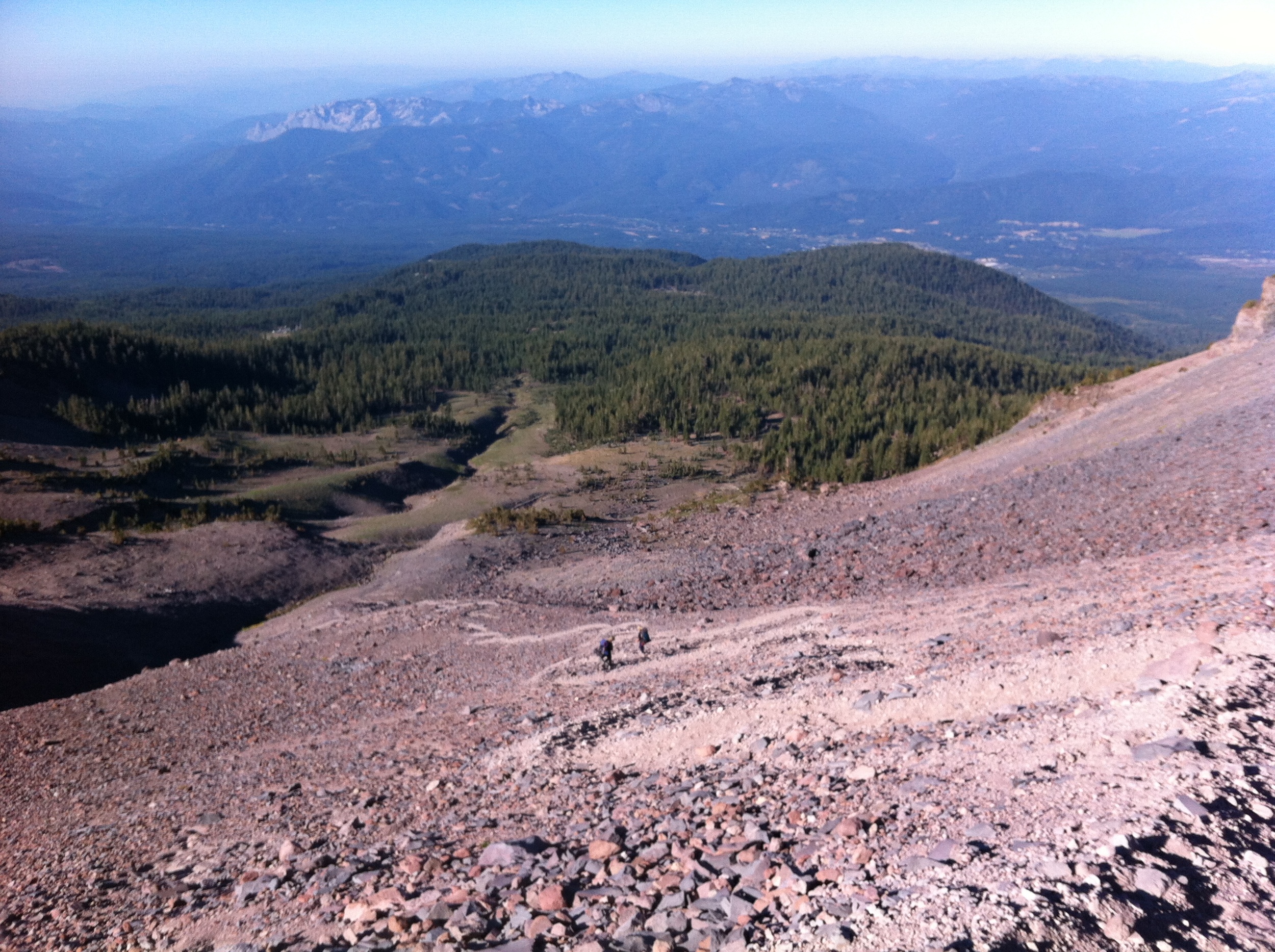
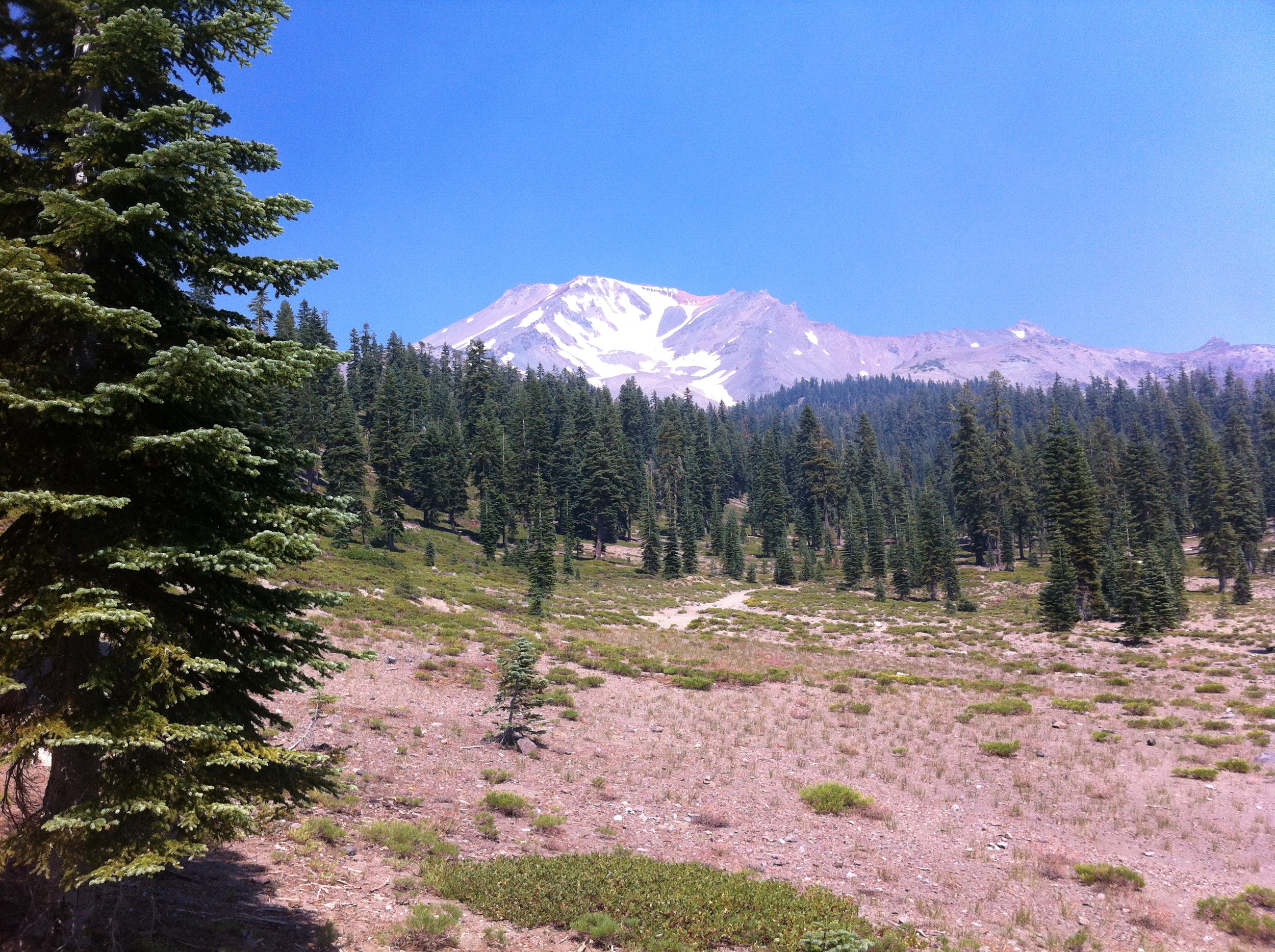
Current Conditions on the Avalanche Gulch Route: The first thing you need to know about the route at this point in time is that it is mid-August. Mid-August is pretty much always considered mid-to-late season on Mt. Shasta, unless it has been an exceptionally wet winter or year; and unless you’ve been living on the moon, you know that 2012 has not been a wet or cold year. On Mt. Shasta, what mid-to-late season conditions mean is that it will be hot at the lower elevations when you begin the climb; it will be hot at base camp at Lake Helen; and there will not be total and complete snow coverage on the route – there will be stretches of exposed talus along the way. These are general conditions that exist on a yearly basis as the season comes to an end, and are what my group experienced last week.
We left Bunny Flat on Thursday night (August 9, 2012) because I was late, and by the time we were on the trail, it was getting dark. While I never like being late – especially for a hike or meet-up, this mistake was actually fortuitous, as the group was able to hike the 1.6 miles to Horse Camp in cooler temperatures than we would have experienced during the day.. We made camp at Horse Camp, and got an early start the next day to head up to Lake Helen. From Horse Camp to Lake Helen, the trail is completely exposed – once you pass the treeline after the causeway, there is no natural shade until the sun goes down at night.
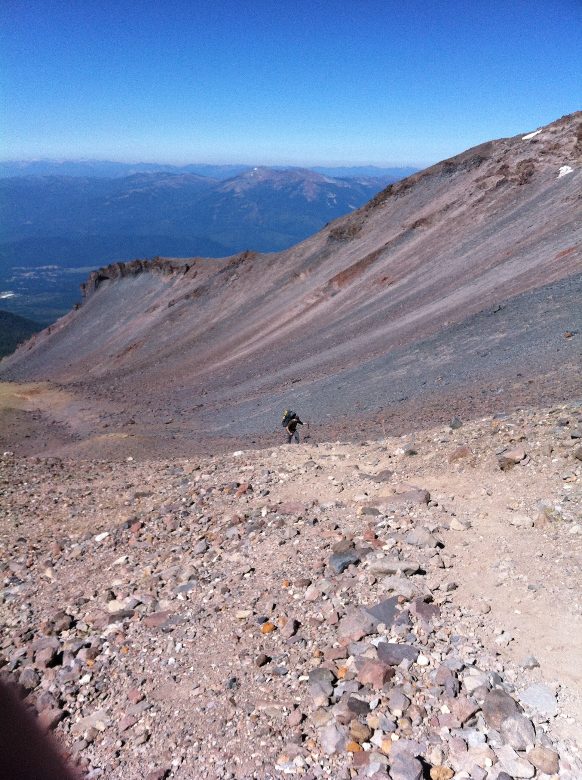
The trail itself is in good condition; and there are no problems along the way. The main problem from Horse Camp to Lake Helen is that should you not carry enough water during this stretch, there are no places to filter or obtain water at this time of the year. Even though the group had an early start and it was not too hot at that point in the day, due to the weight people were carrying, and the sun exposure, the average water consumption for this leg of the trip was between 2-4 liters. Since there is delicious and readily available water at Horse Camp, courtesy of the Sierra Club spring, there’s really no reason to risk running out of water during this portion of the climb. The 50/50 Hill remains a solid, arduous climb as it is still straight uphill, and is still a mixture of talus, volcanic ash, and various other loose rocks.
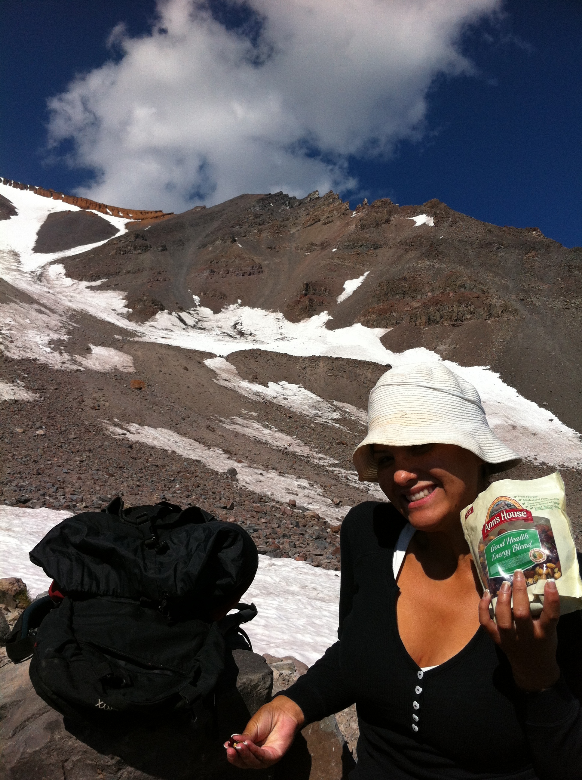
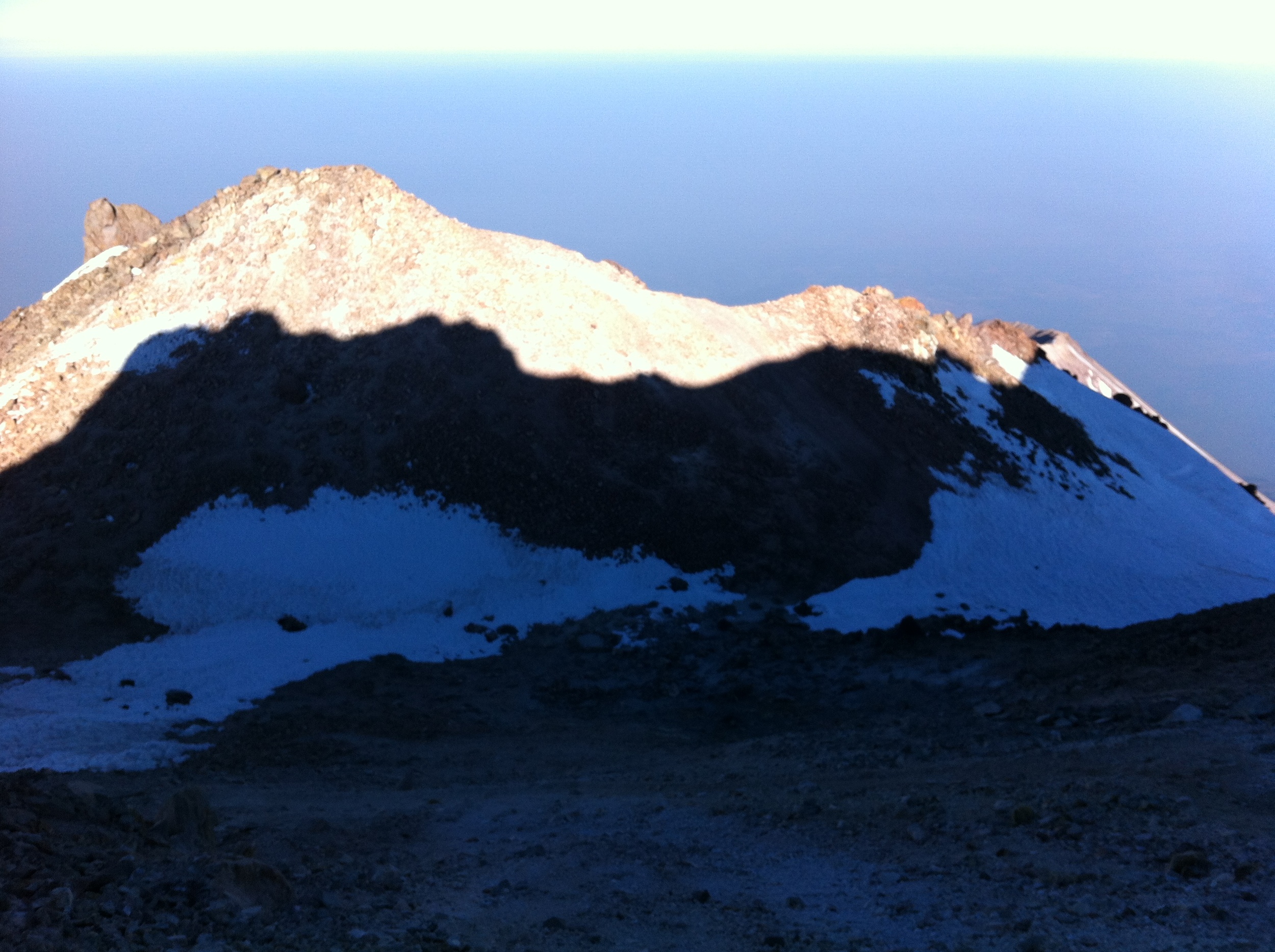
As the group had a good pace going, we arrived at Lake Helen in a little under two hours. At this point in the season, there is a small amount of snow beneath Lake Helen, and some coverage near the camp. Overall, the camp is largely free of snow, and there were ample sites to camp at. Our group was lucky, as we were the only people at Lake Helen for most of the day. We made the most of our alone time at the lake by melting snow for drinking water; which is a requirement this time of year due to the elevation, heat, and sun exposure, and trying to stay out of the sun as much as possible.
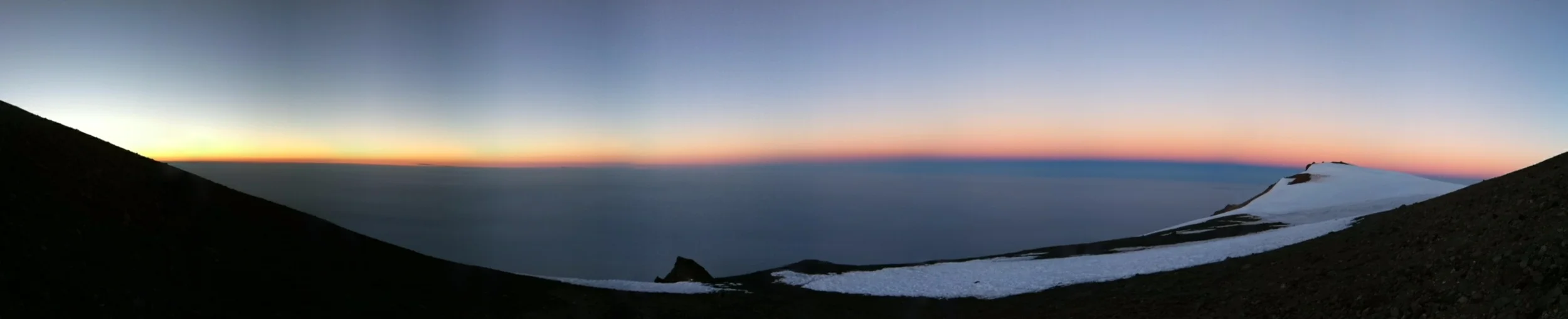
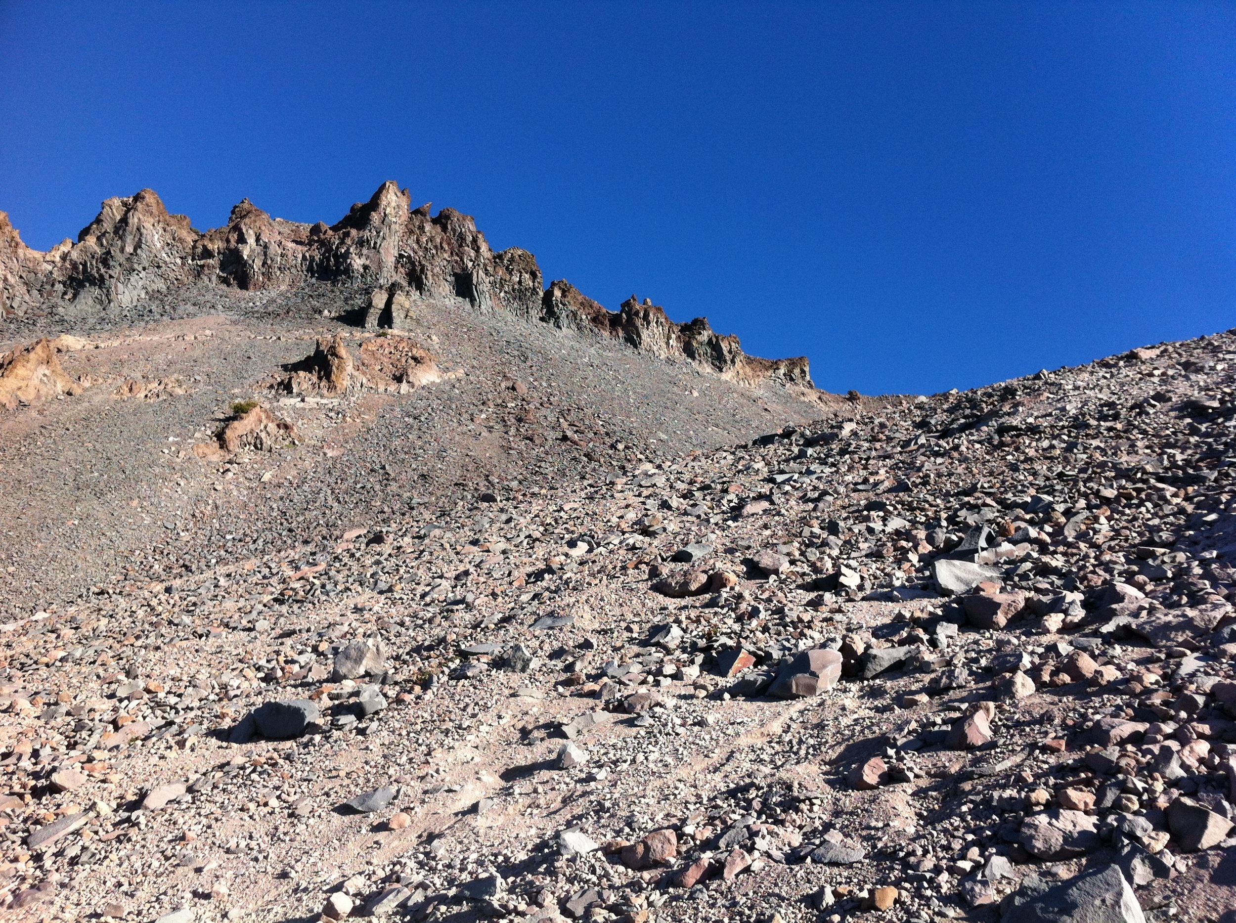
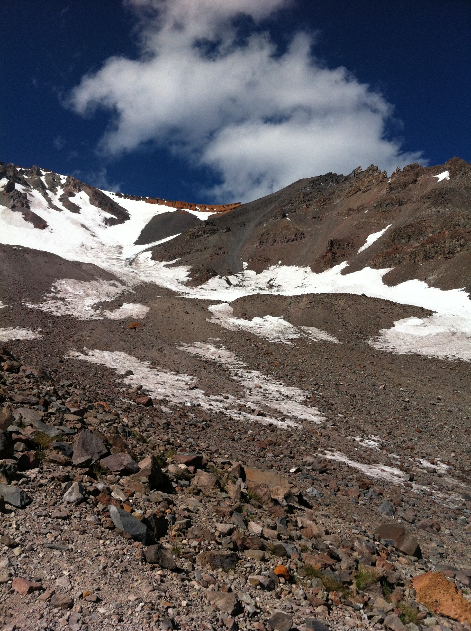
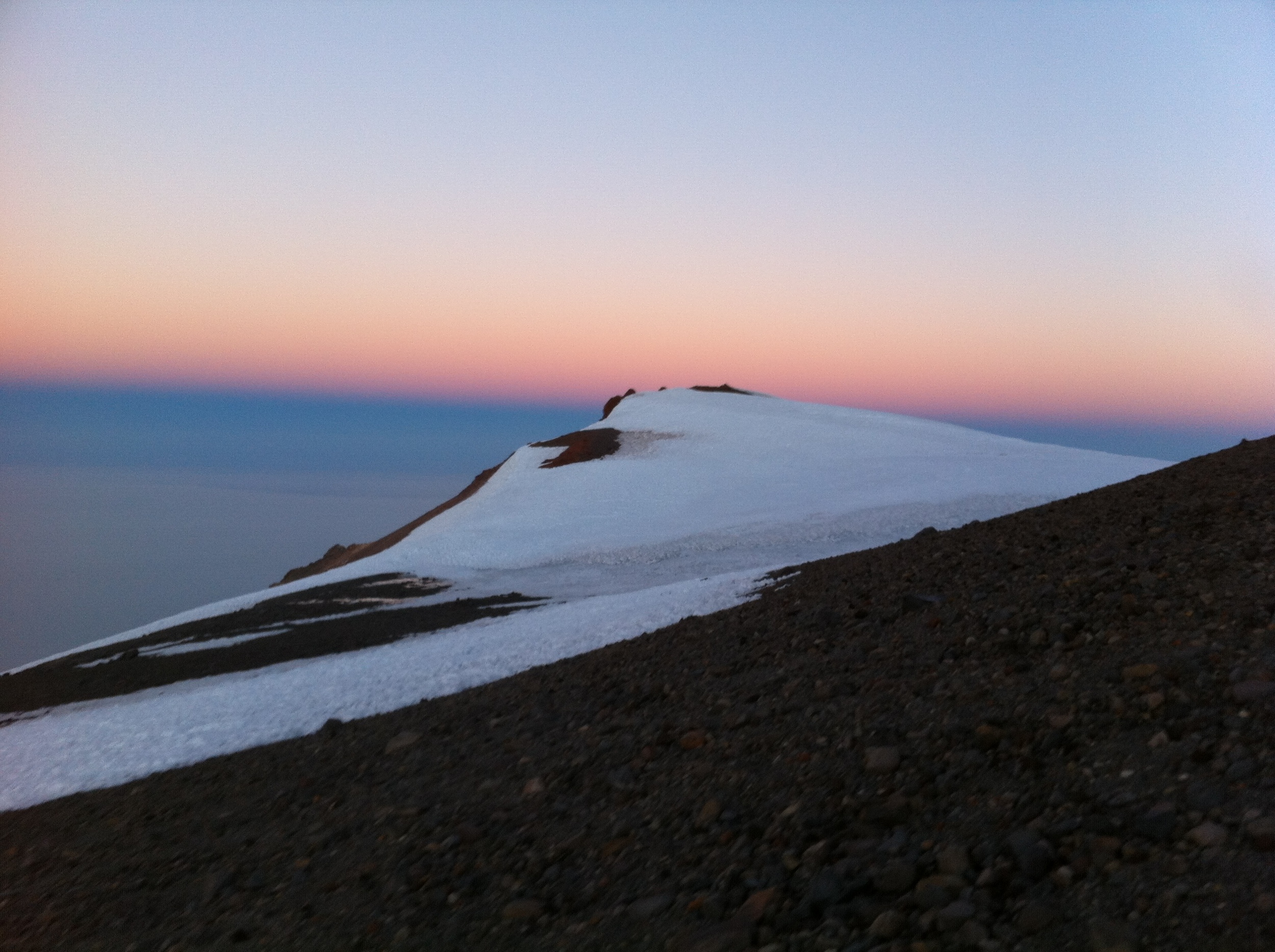
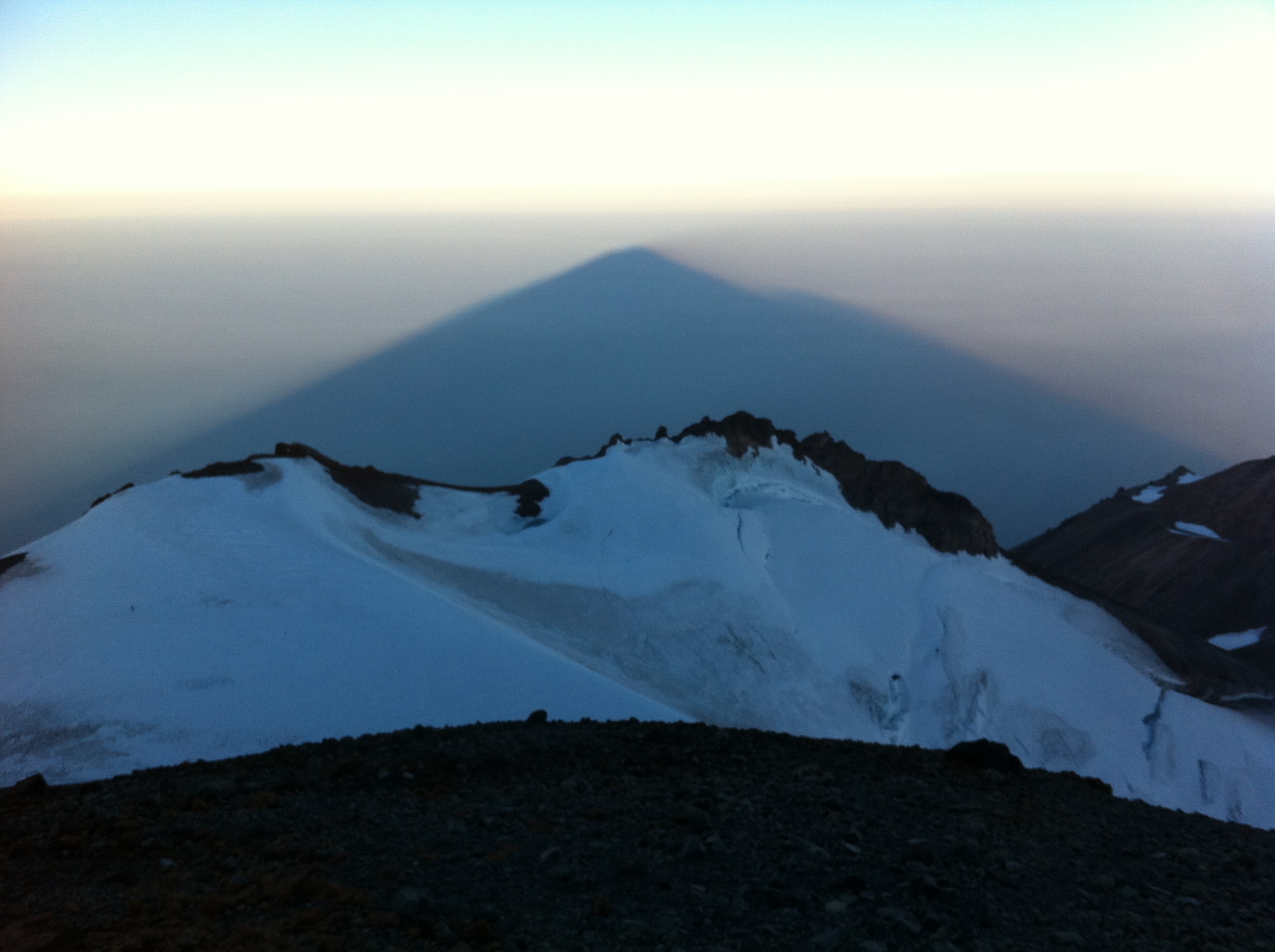
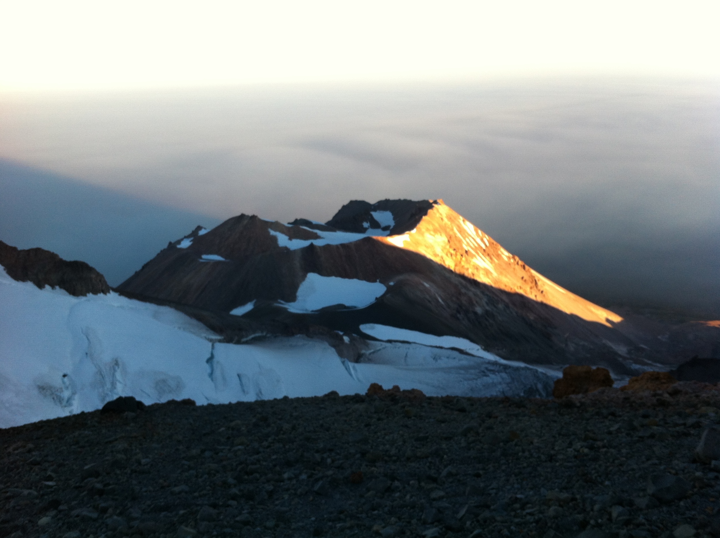
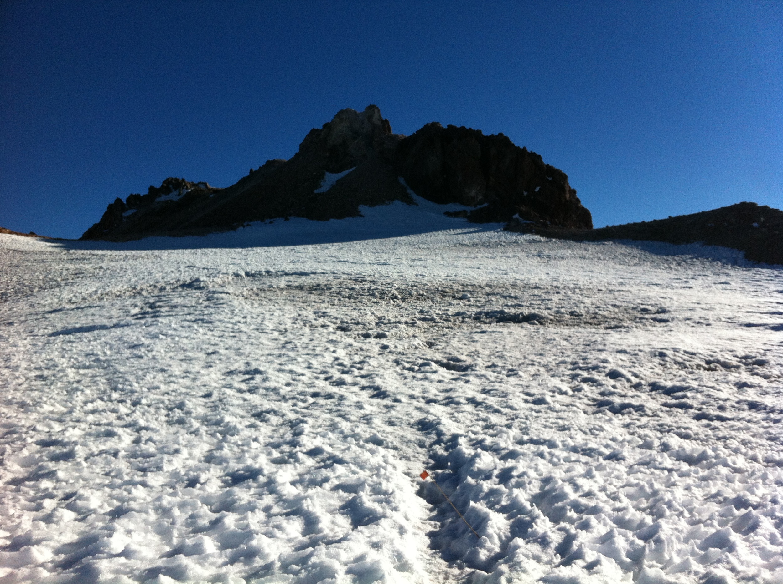
Saturday morning (August 11, 2012), I got everyone up at ~0230 for an alpine start, and we were on the snowfield by 0300. We had observed that there were large bare patches on the snowfield on Friday afternoon, and on Saturday morning we definitely had to cross a number of rocky areas before arriving on the snowfield proper. Once on the snowfield, we found that the majority of the snow was iced out and patchy in places. Even more troubling was the large boulder that came dislodged a few minutes into our climb, especially as it was during the “cold” portion of the night. However, we set a good pace, and managed to avoid any further rockfalls or problems up to the Red Banks. Prior to heading through the Red Banks, we rested for a bit, and then ascended through one of the chutes on the left side, where climbers had been passing and had left a trail. The snow in the chute was densely packed, and completely iced out. At that point, there was no doubt that it was a technical traverse/climb until the base of Misery Hill.
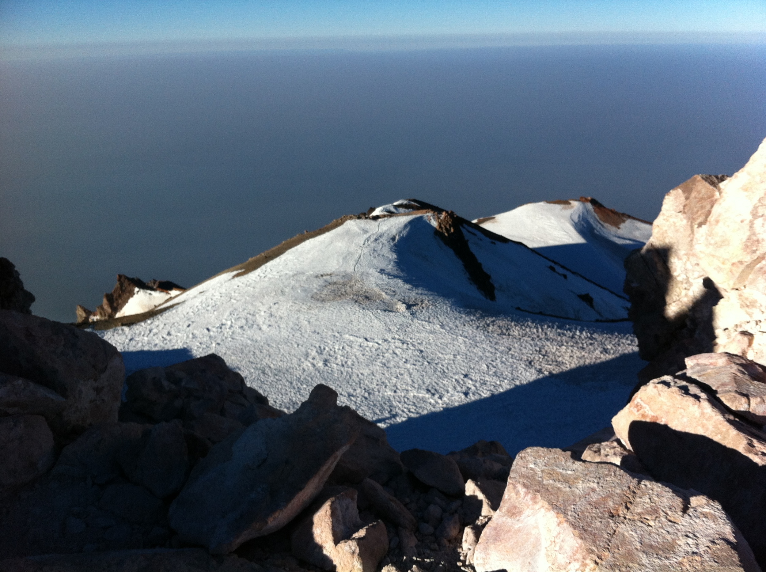
The most problematic area of this section was the mid-to-upper section of the Red Banks which was iced over, but melting out underneath. Underneath the ice was a rapidly flowing section of melt, which was not auspicious for ~0500! Fortunately, we managed to traverse this section, and reached the base of Misery Hill, which was mostly exposed rock, until the final traverse to the peak itself. Unfortunately, due to the wildfires currently raging, the view from the peak was mostly obscured – a real bummer. After surveying the view, we headed back down, and only had a small amount of trouble passing through the Red Banks safely; mostly due to the ascending climbers that were in the chute.
Wrap-Up: I’ve climbed Shasta numerous times, and the conditions present were about what I’d expect for this time of year. If you are planning on climbing the peak via this route, I would suggest you go now. The conditions in the Red Banks are rapidly deteriorating, and are only going to be viable for a short amount of time this season. Other than that, it was a great climb – not too many people on the summit, probably no more than 15 climbers heading up total, and we were the second and third people to arrive on the summit in the morning.