Muir Snowfield, Mt. Rainier
If you think you think Matt and I missed our podcast window on Wednesday, you'd be wrong. Yes, there was no show last week. And yes, we did not Tweet or promote a show this week. No, goats have not completely eaten IIAWT's technical equipment and clocks. The answer to why there was no IIAWT is because IIAWT is only on the second and fourth Wednesday's of each month, and between May and June, the calendar sets us, the hosts up with a nice little break. So look at things positively - you didn't miss anything, and we didn't trick you - the calendar did! But in case you did miss us, here's what you've been missing in the last two months!

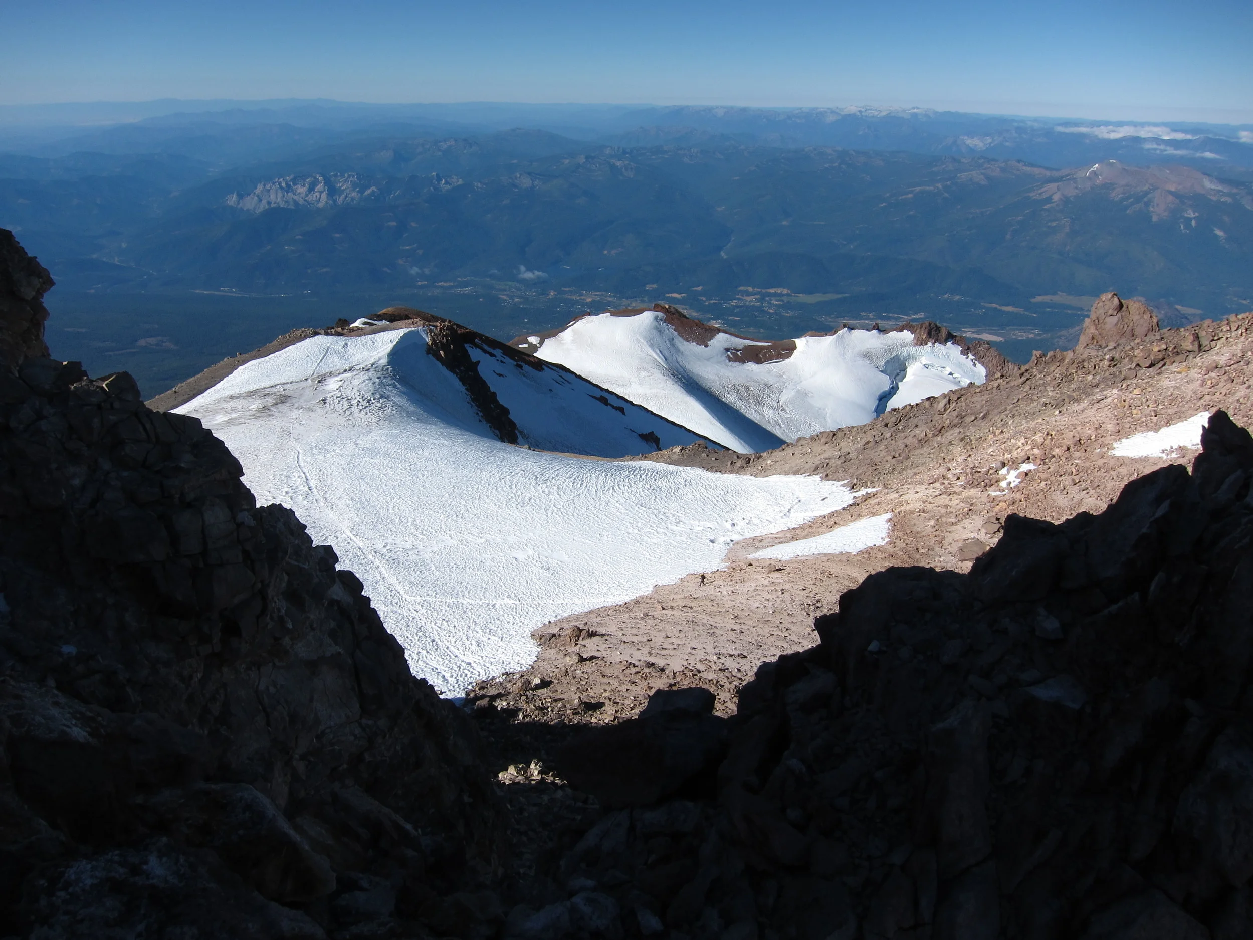
Ingraham Flats, Mt. Rainier
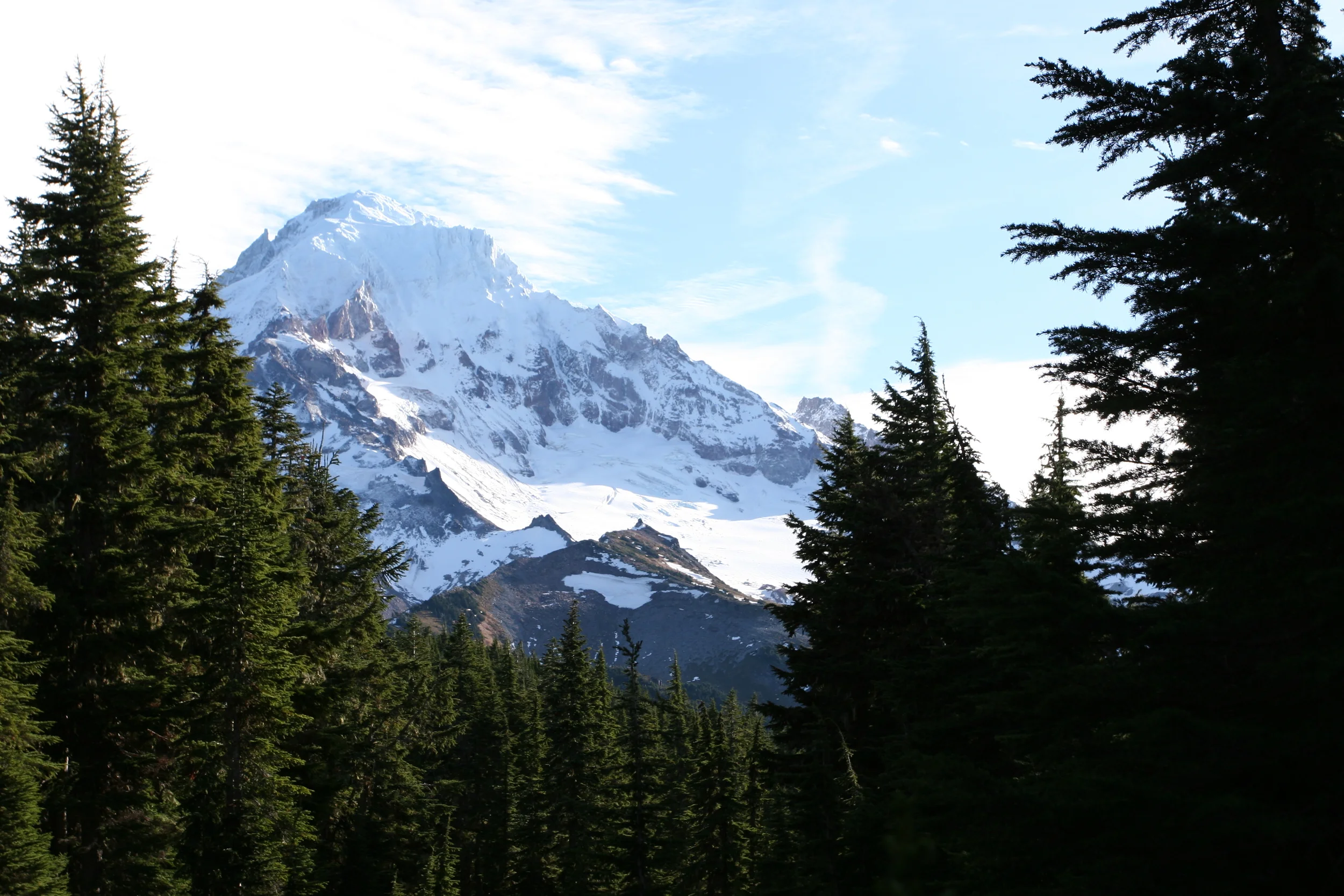
April 10, 2013, Episode 6: Mt. Rainier, Part I: The IIAWT How-To-Climb-Guide. Mt. Rainier - a mountain - no, a volcano so big it deserved two shows. On this first episode, Matt and I spoke with Katie Levy of Adventure Inspired, who had some great insights to how a novice prepares for the Disappointment Cleaver, and mountaineering in general. Katie also had some great comments about climbing mountains for charity; and about how she reviews gear for her readers, so this episode, like always, is a must listen! (Also, stay tuned to the end for a special guest - and friend of the show!)
April 24, 2013, Episode 7: Mt. Rainier, Part II: The IIAWT How-To-Climb-Guide-Continues. What's better than talking Mt. Rainier? Talking Mt. Rainier with a veteran climber like Kevin Cherilla of K2Adventures. We also had on our friend of the show, Jes (more info here) for some added color commentary. On this show, we again talked about climbing for charity, and the difficult - and STEEP Liberty Ridge Route.
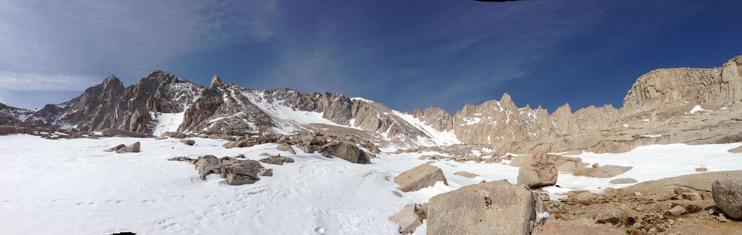
May 8, 2013, Episode 8: Mt. Whitney, Part I: The IIAWT How-To-Climb-Guide. This show is also known as "When Goats Attack". Although there was no guest host, both Matt and Chris picked up the slack in an information packed must-listen guide about climbing Mt. Whitney. (For an added bonus, read more here about what you need to know about Whitney, the highest peak in the Continental United States).

Western Side, Mt. Whitney Trail
May 22, 2013, Episode 9: Mt. Whitney, Part II: The IIAWT Guide on the JMT and Other Routes to the Top. Once Matt and Chris got rid of those pesky goats, they were ready to talk Whitney the way Muir saw it after his long treks in the Sierras. What better way than to talk about this than with a bona fide expert, the SoCalHiker, also known as Jeff Hester. This show had some great details from Jeff, who has hiked the John Muir Trail twice, and also had some great secret tips on how to ascend Whitney via non-traditional ways.
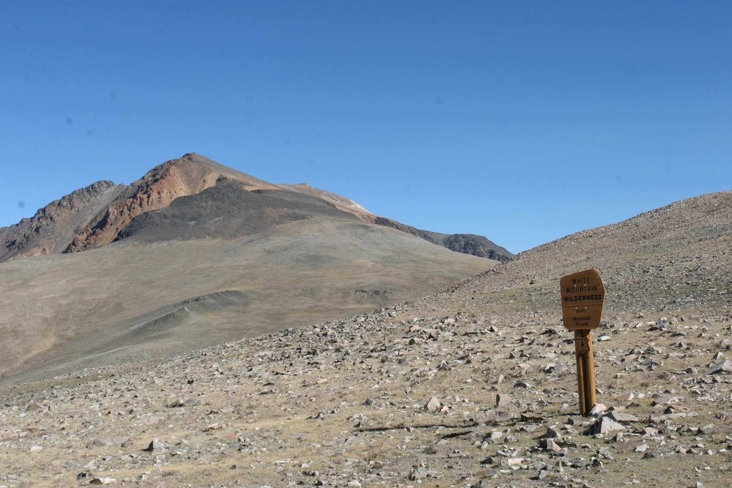
If these shows don't get you out into the mountains, perhaps next week's show on Mt. Shasta will intrigue your mind and inspire your body; but until then, see you on the trail!