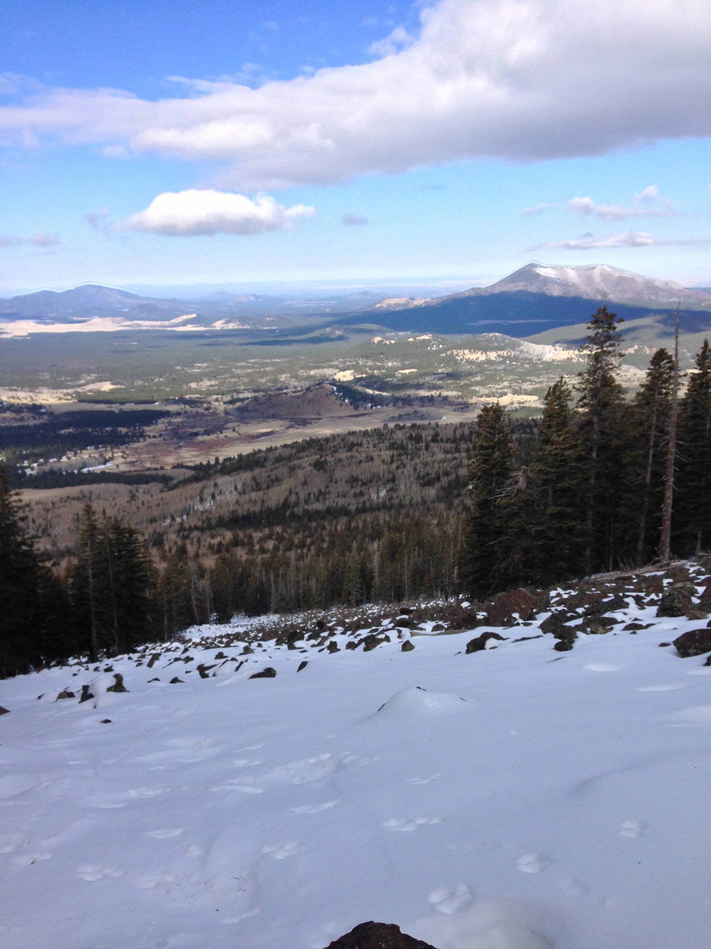
Humphreys Peak, March 2014
Last Friday (3/7/14), I went back into Arizona to meet up with two of my In Ice Axe We Trust co-hosts, @jestheccc and @moosefish to climb Humphreys Peak in winter. As Jes has done an excellent job discussing the backstory to the climb on her blog, I’m going to stick to just the facts relating to the climb, and the conditions. In short, the most difficult part of this climb was finding the snow and ice, as there was none to climb upon for several weeks prior. As I’ve discussed before on my blog, California is experiencing an extreme drought this year; and these conditions have extended into Arizona. Fortunately for us, the week before the climb, both Arizona and California received a number of small storms that did drop some snow in the higher elevations. While the storm totals weren’t as high as everyone would have hoped, they were enough to cover Humphreys with snow down past the standard Humphreys Peak Trailhead at the Arizona Snowbowl (elevation 9,200).
All of us met up the night before at the Snowbowl, and slept in our cars to get an alpine start on the trail. This plan was made possible by Jes, who had already obtained the National Forest Service climbing permit for us the day before. (Information on permits here).


While it was cool in the morning at the base of the snowbowl, I would not say it was cool – and it was definitely no colder than 30 degrees. This meant that the snow and ice that was on the mountain was already starting to soften up when we hit the trail at around 7:30 am. From the snowbowl, we were able to cross the lower slope, and find the main Mount Humphreys trail easily on the other side. While the trail had snow, it was a minimal amount – some 1-4 inches at the lower elevation, which was iced over at that time of day, and as a result, the early portions of the trail were easy to follow.
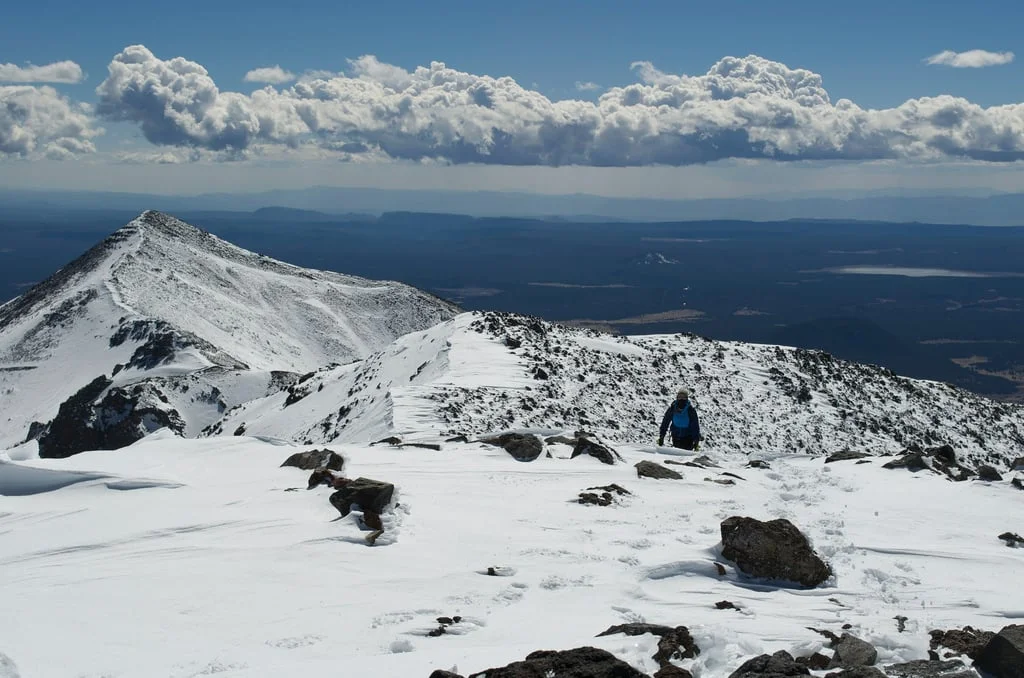
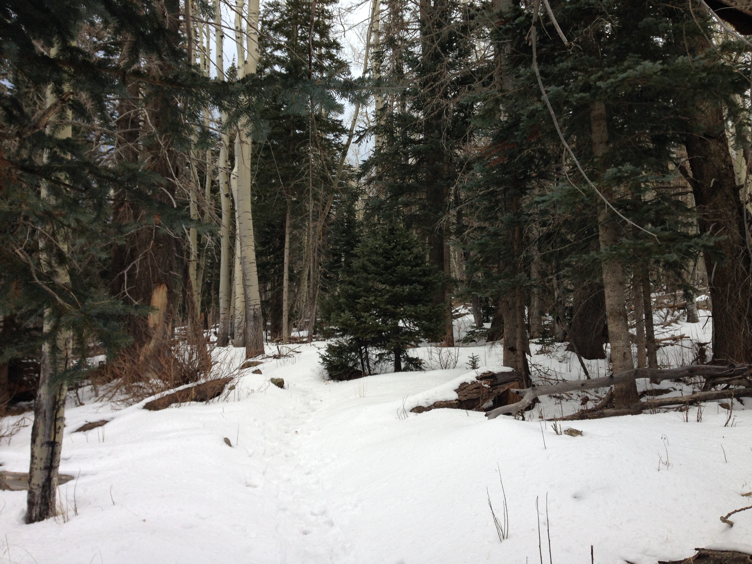
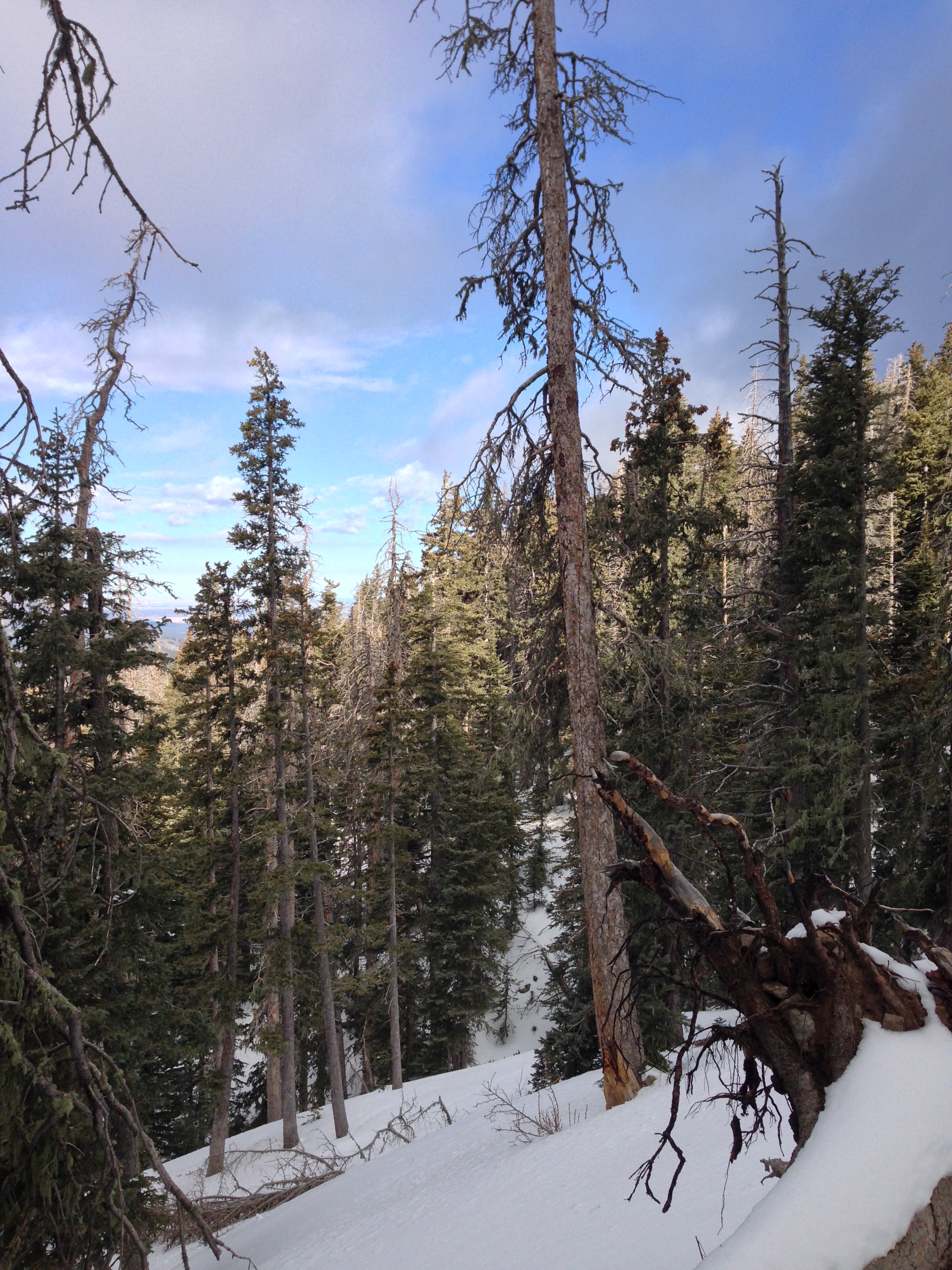
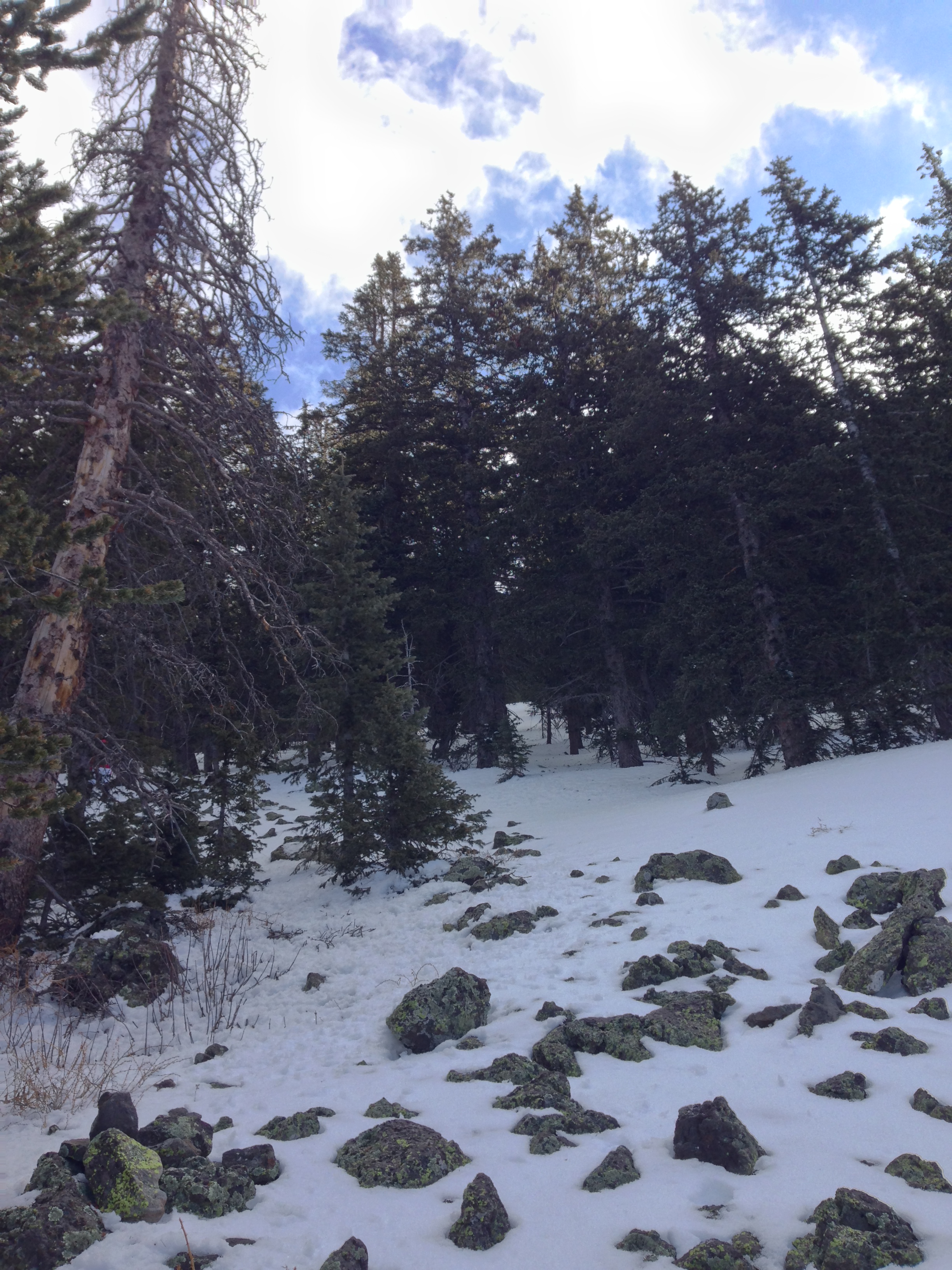
At around the three-quarters to one mile mark (approximately ~9500-9800 feet), there was substantially more snow on the trail, probably about six (6) inches to one (1) foot, and based upon these conditions, we elected to deviate slightly from the main route at this point, and headed up a talus field that had decent coverage into the treeline. While the talus field was easy to traverse, the route through the trees was the most difficult section of the climb. Even though four to five days of freeze-thaw cycles had occurred prior to our climb, the snow under the trees was mostly unpacked powder at that time of the day. If I was to estimate, I would say that there was between one (1) to two and one-half feet (2.5) unpacked soft powder that we had to break trail through for approximately half to three quarters of a mile on a relatively steep slope.
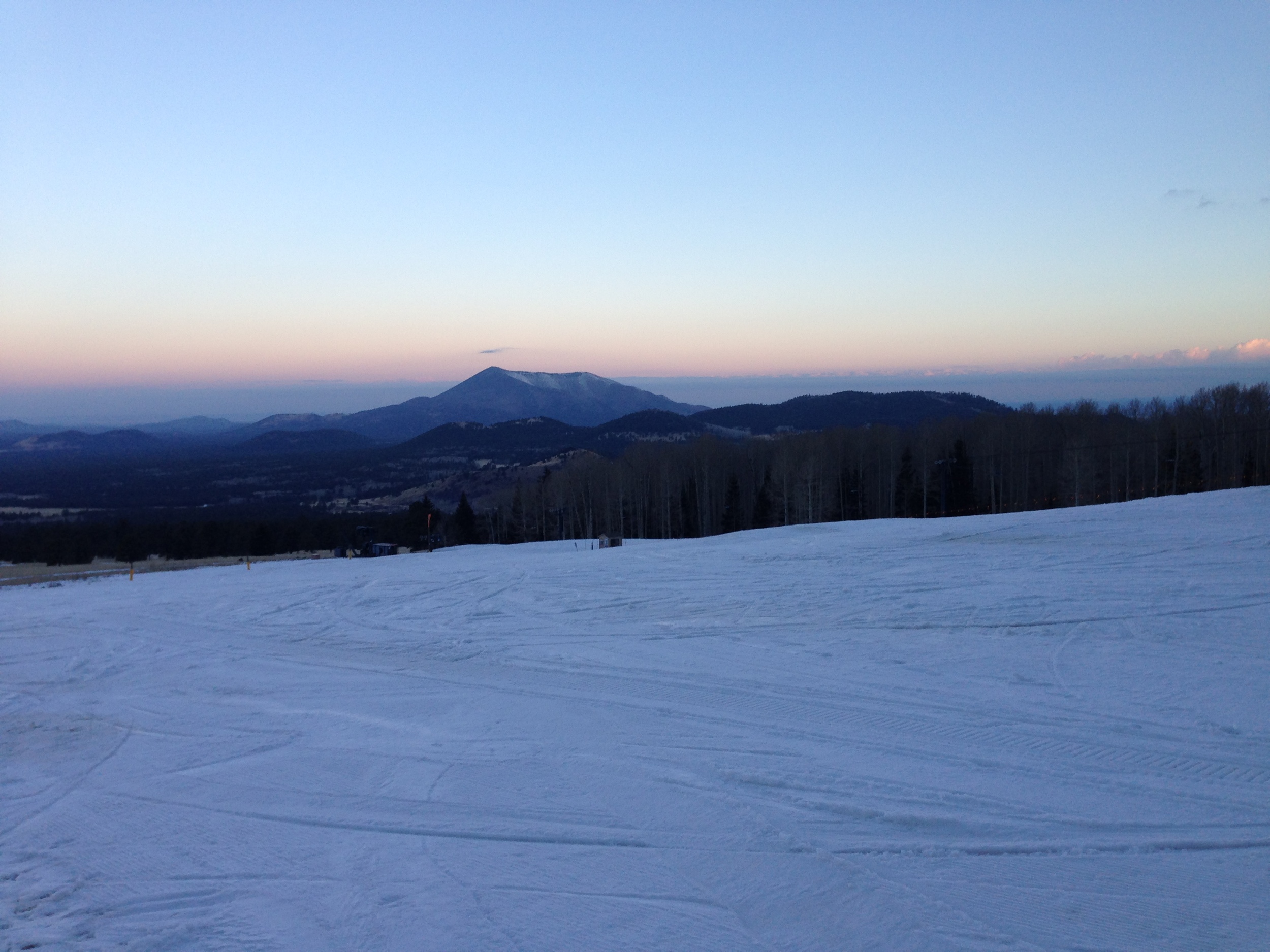
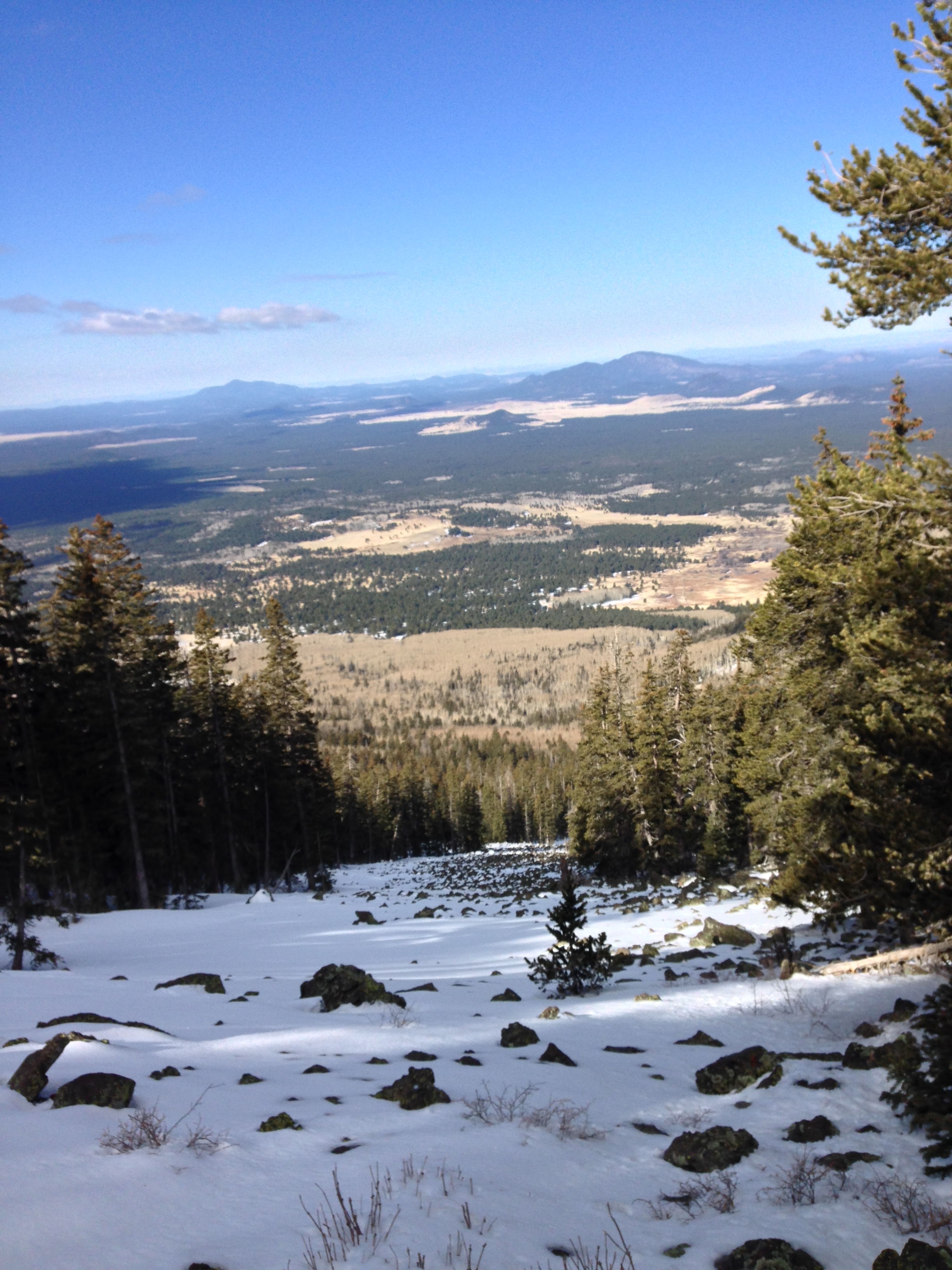
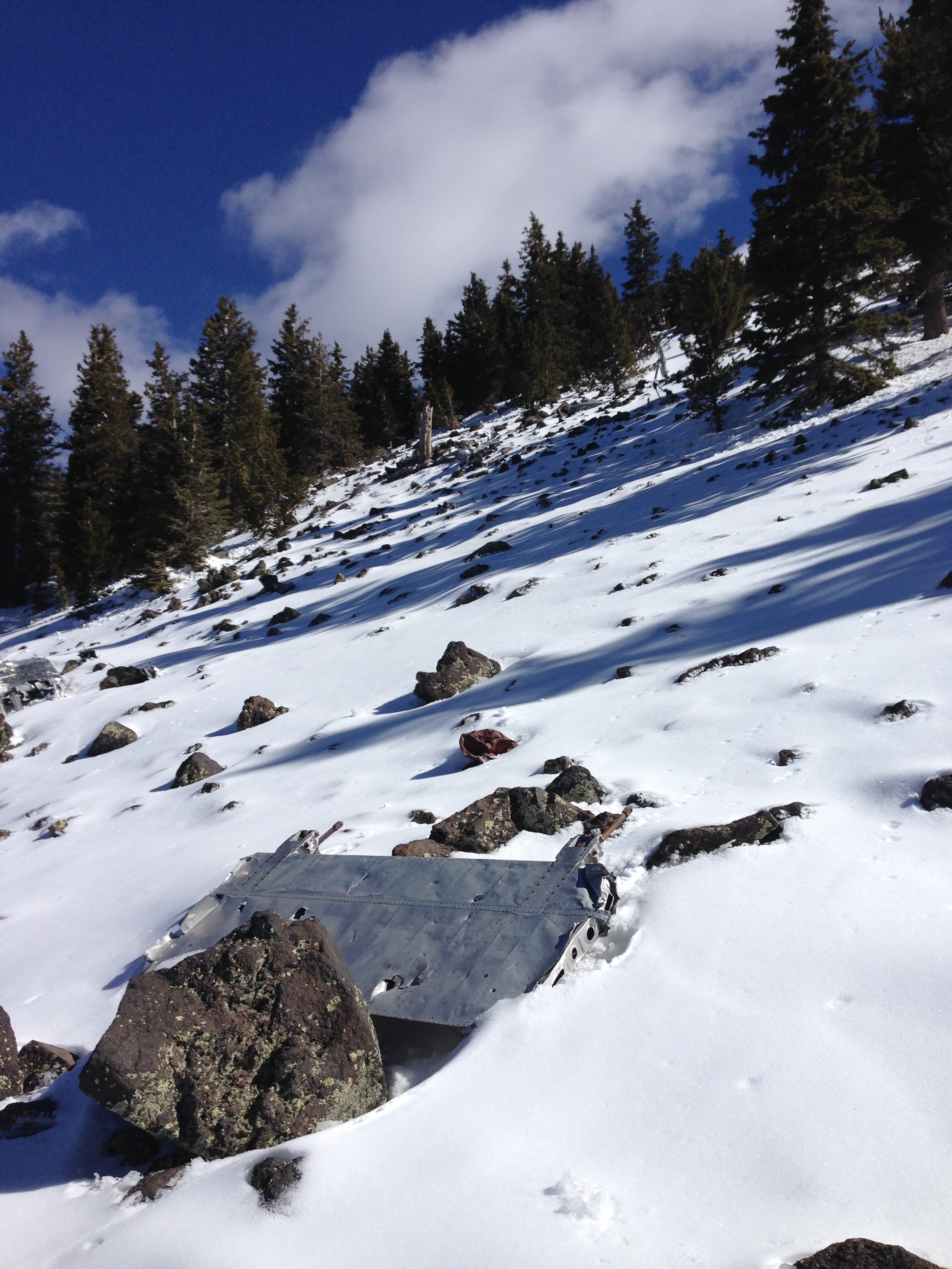
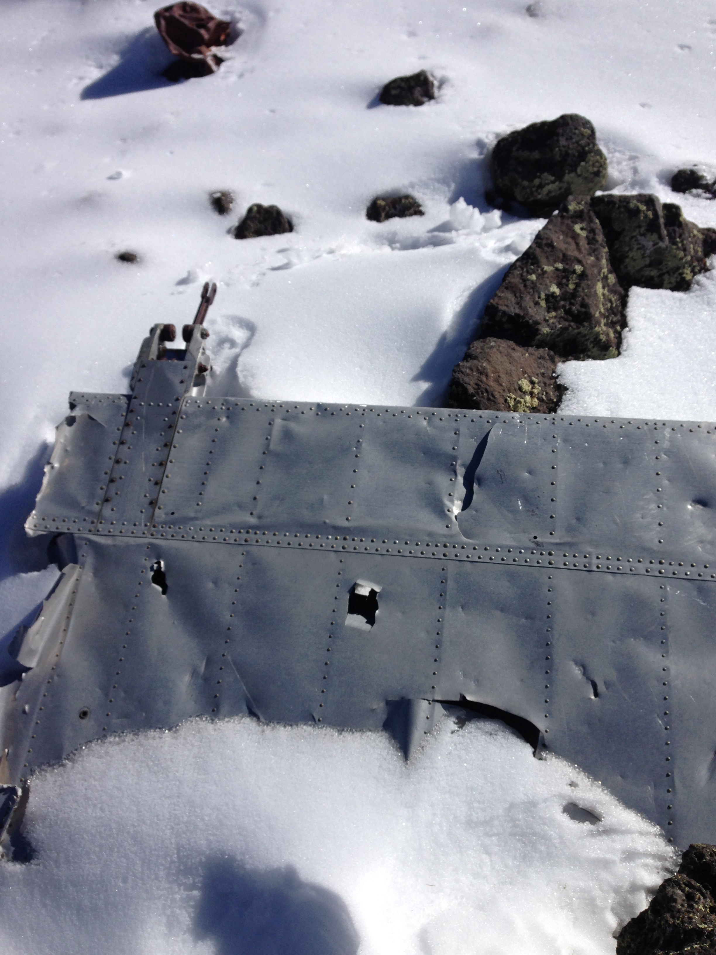
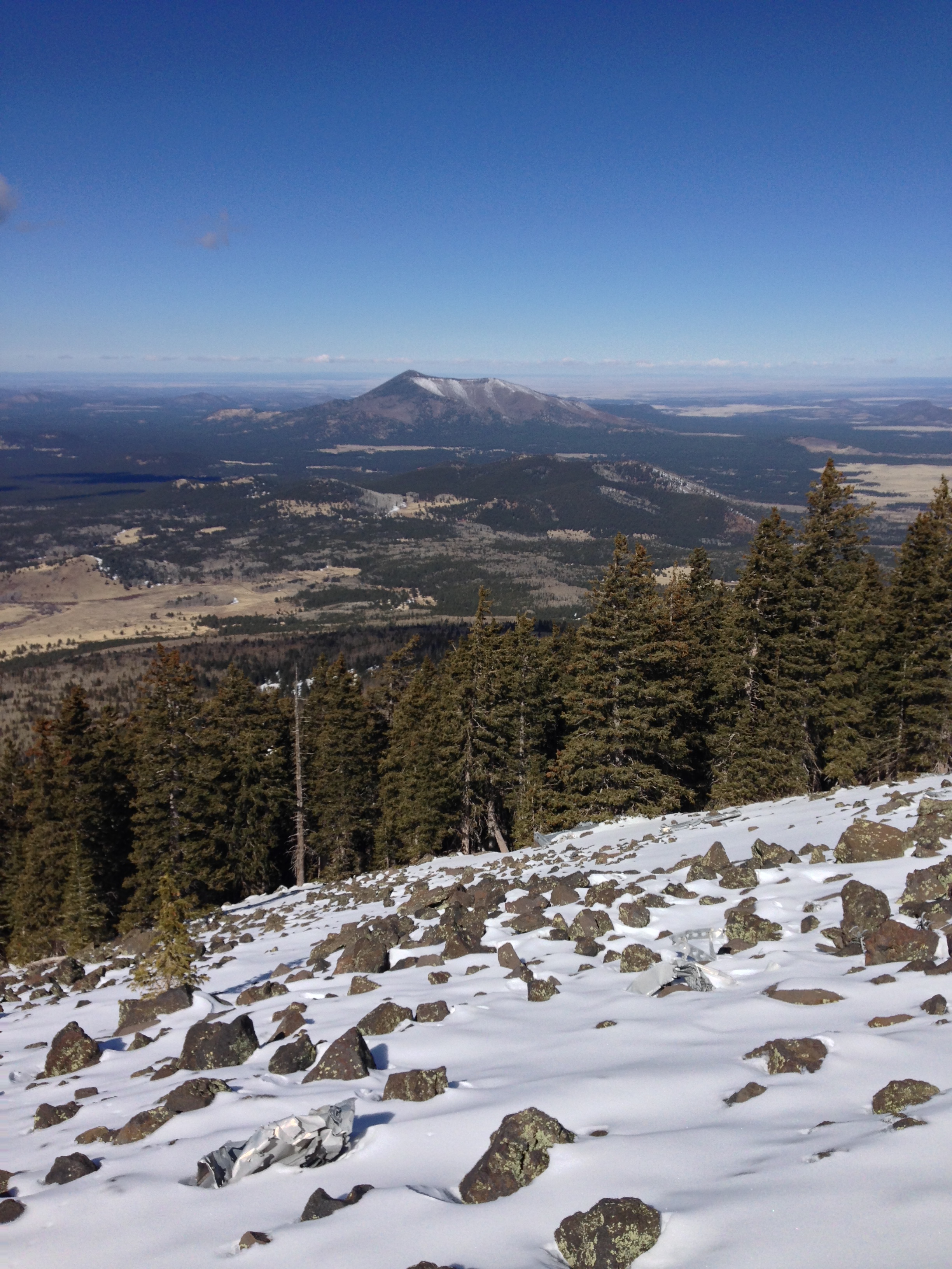
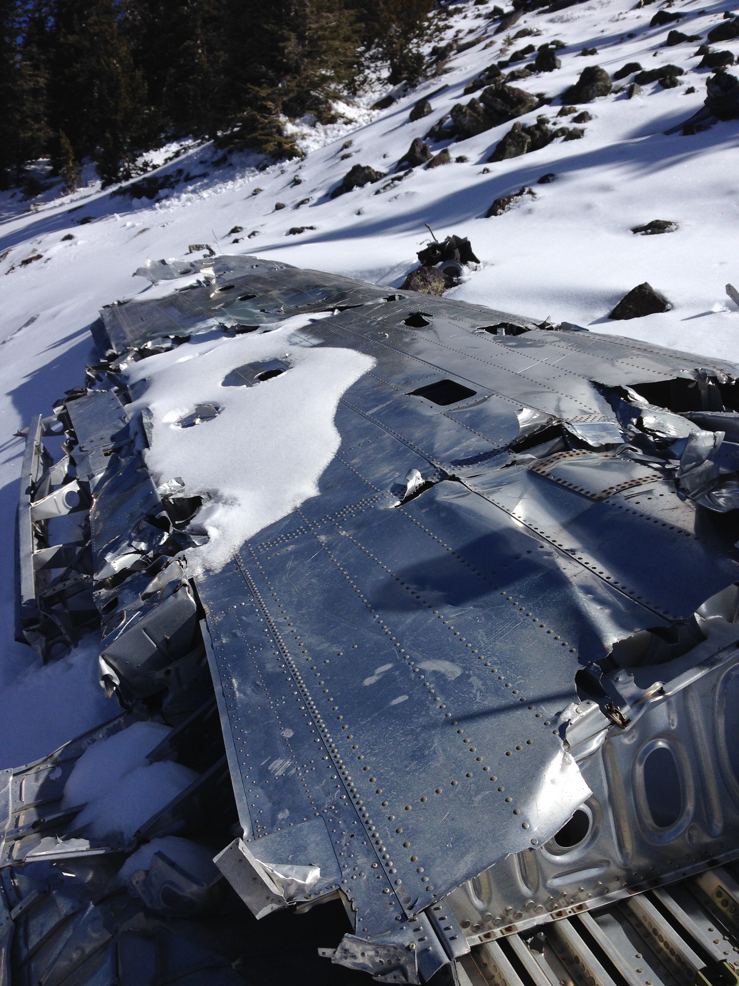
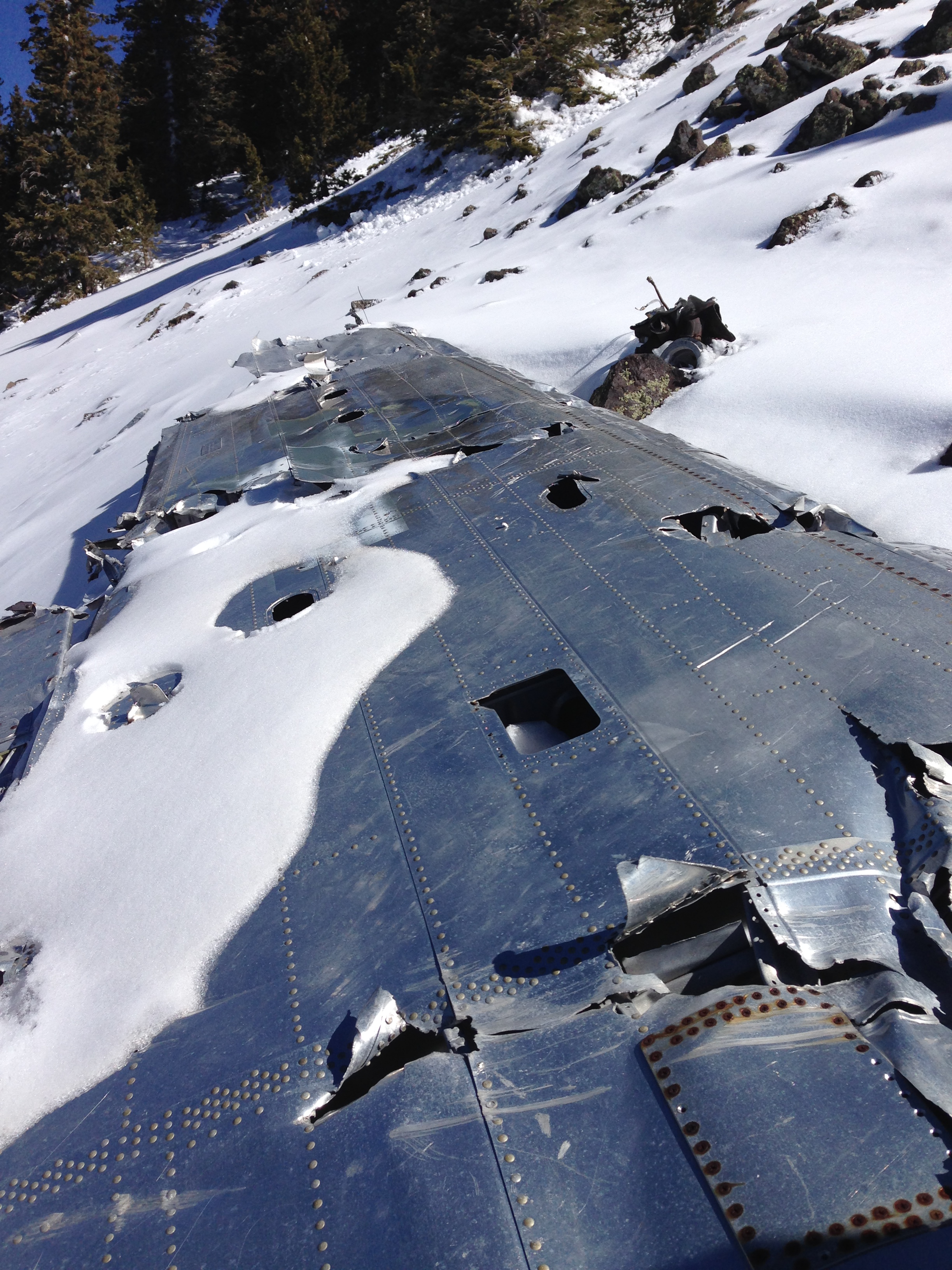
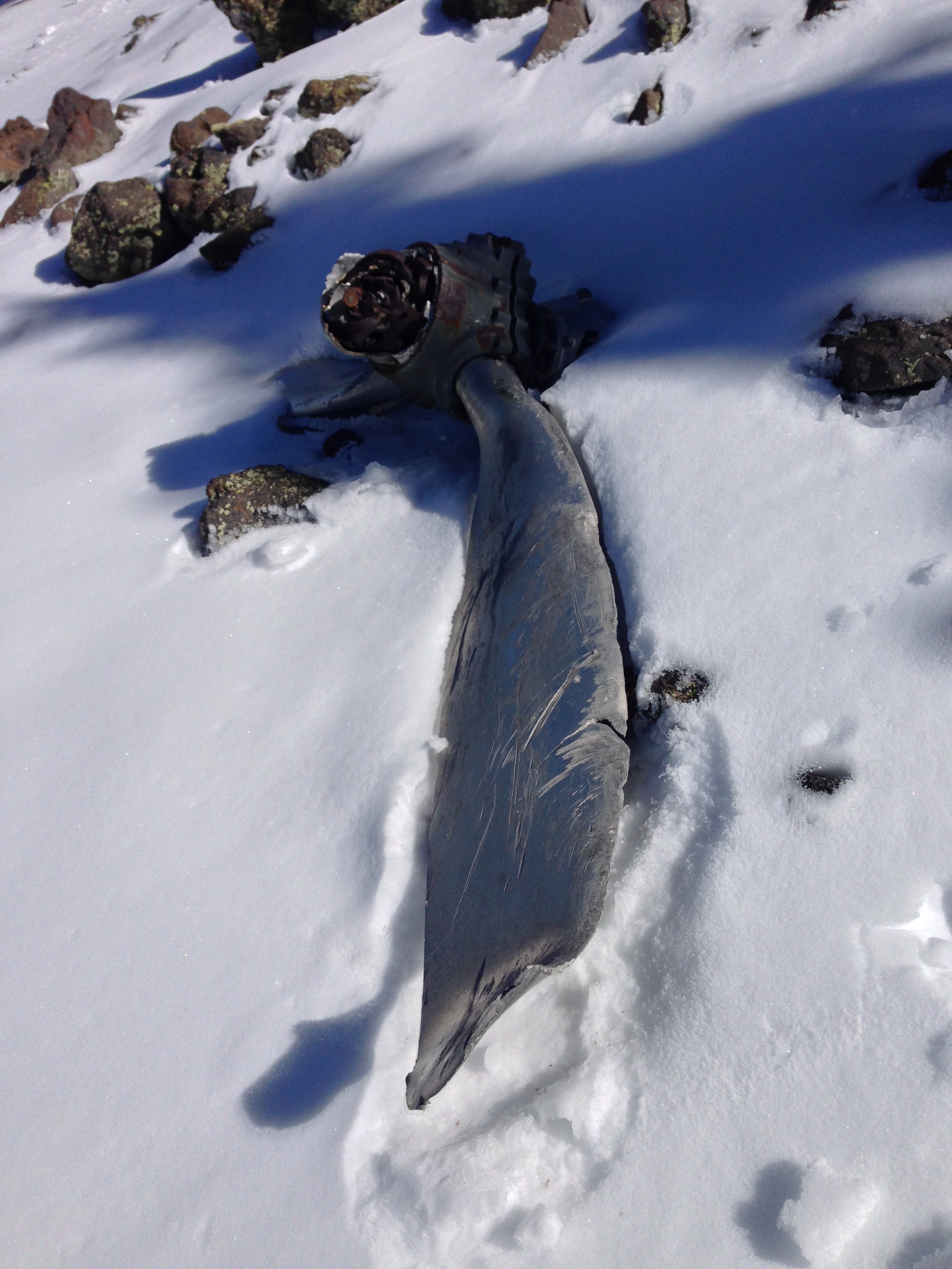
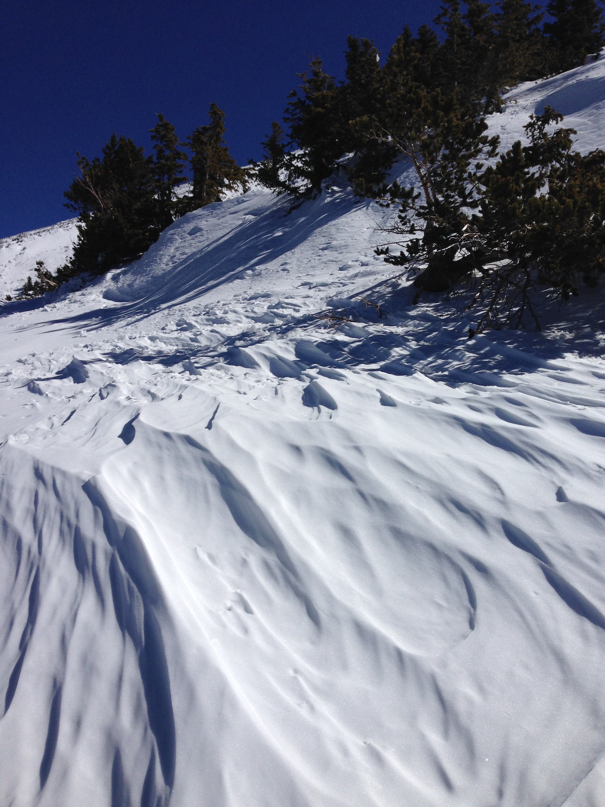
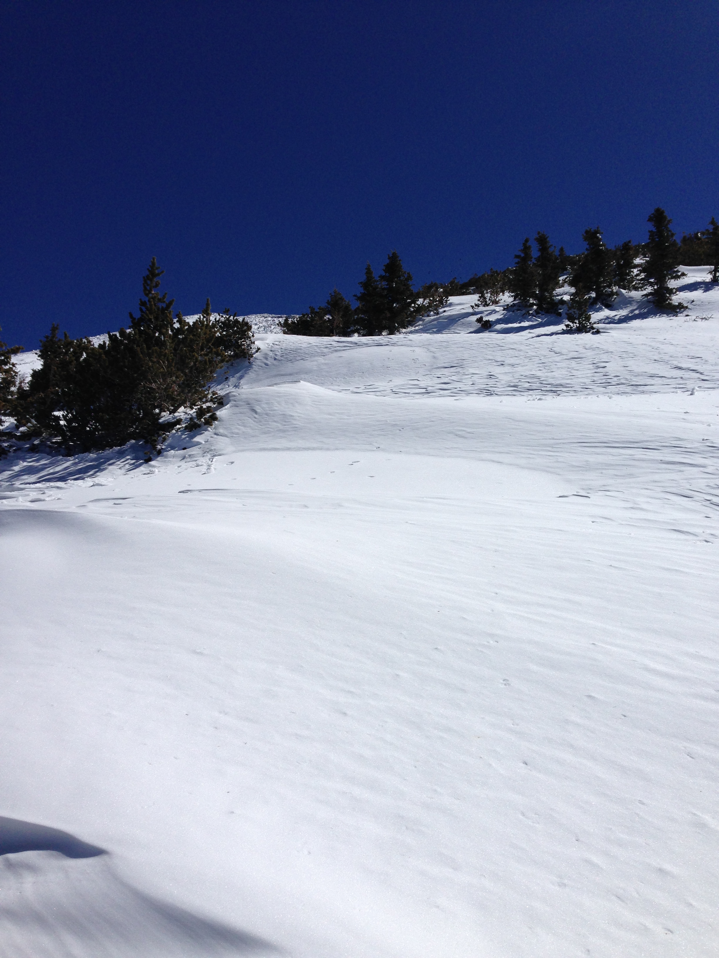
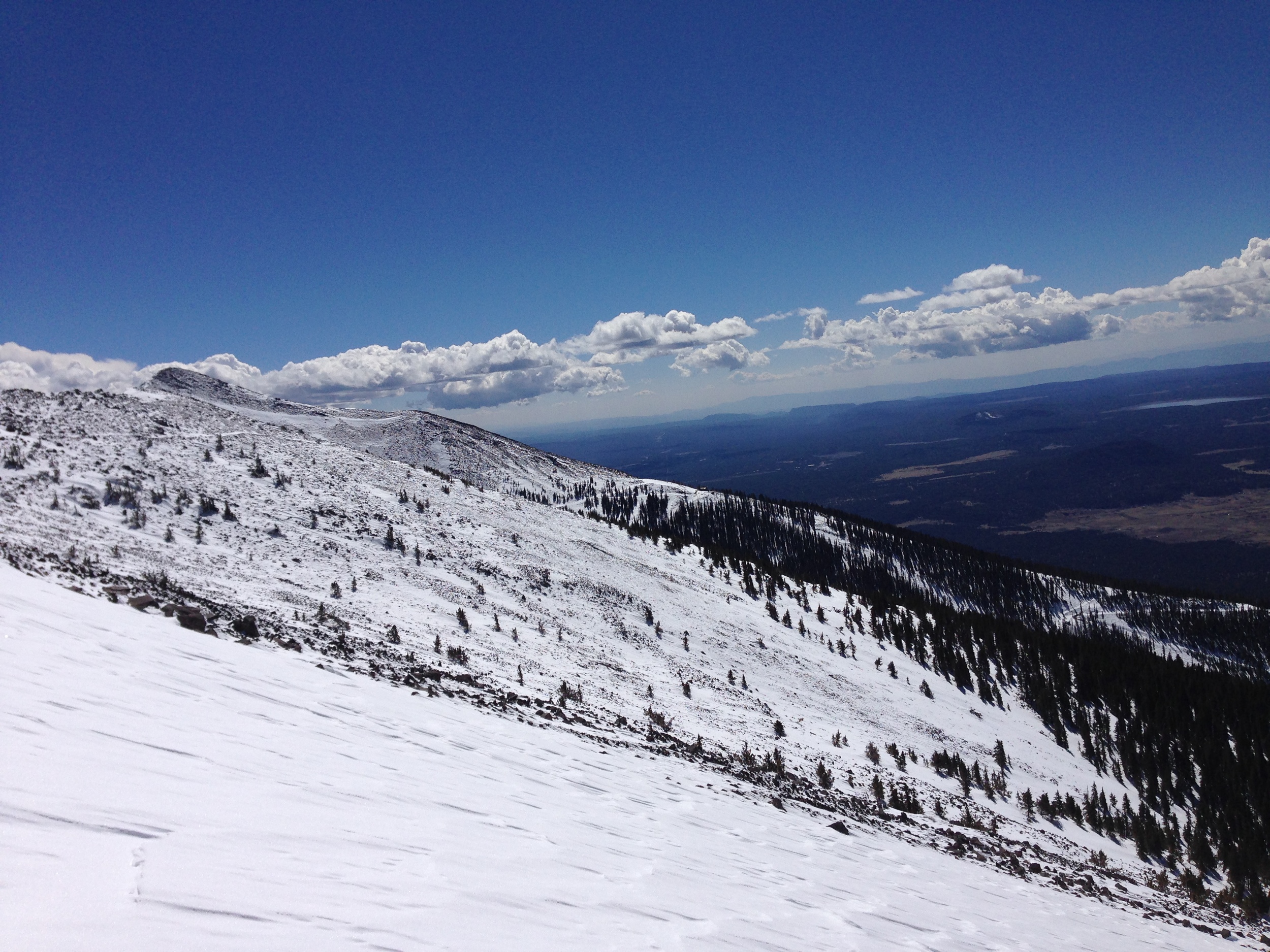
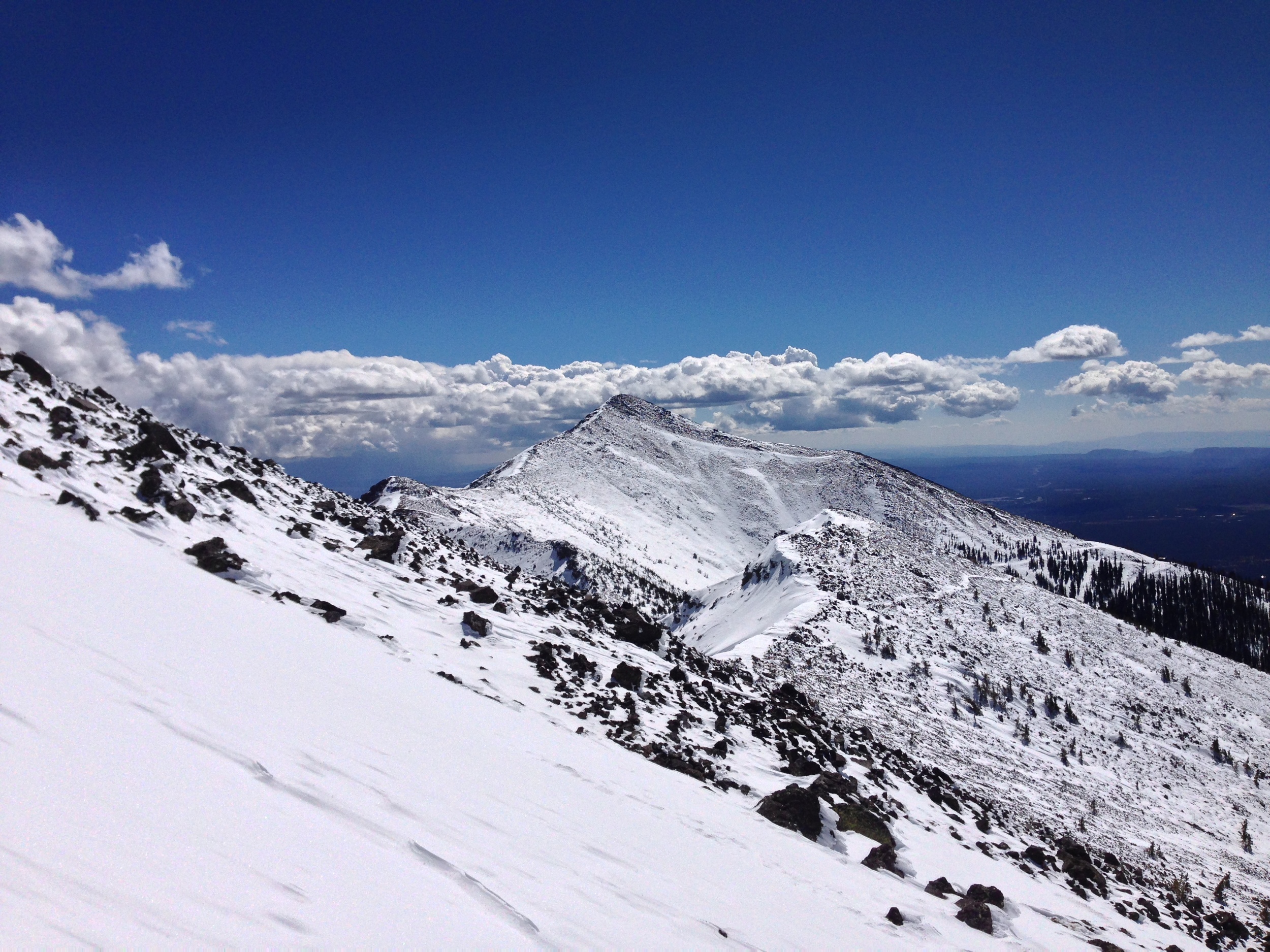
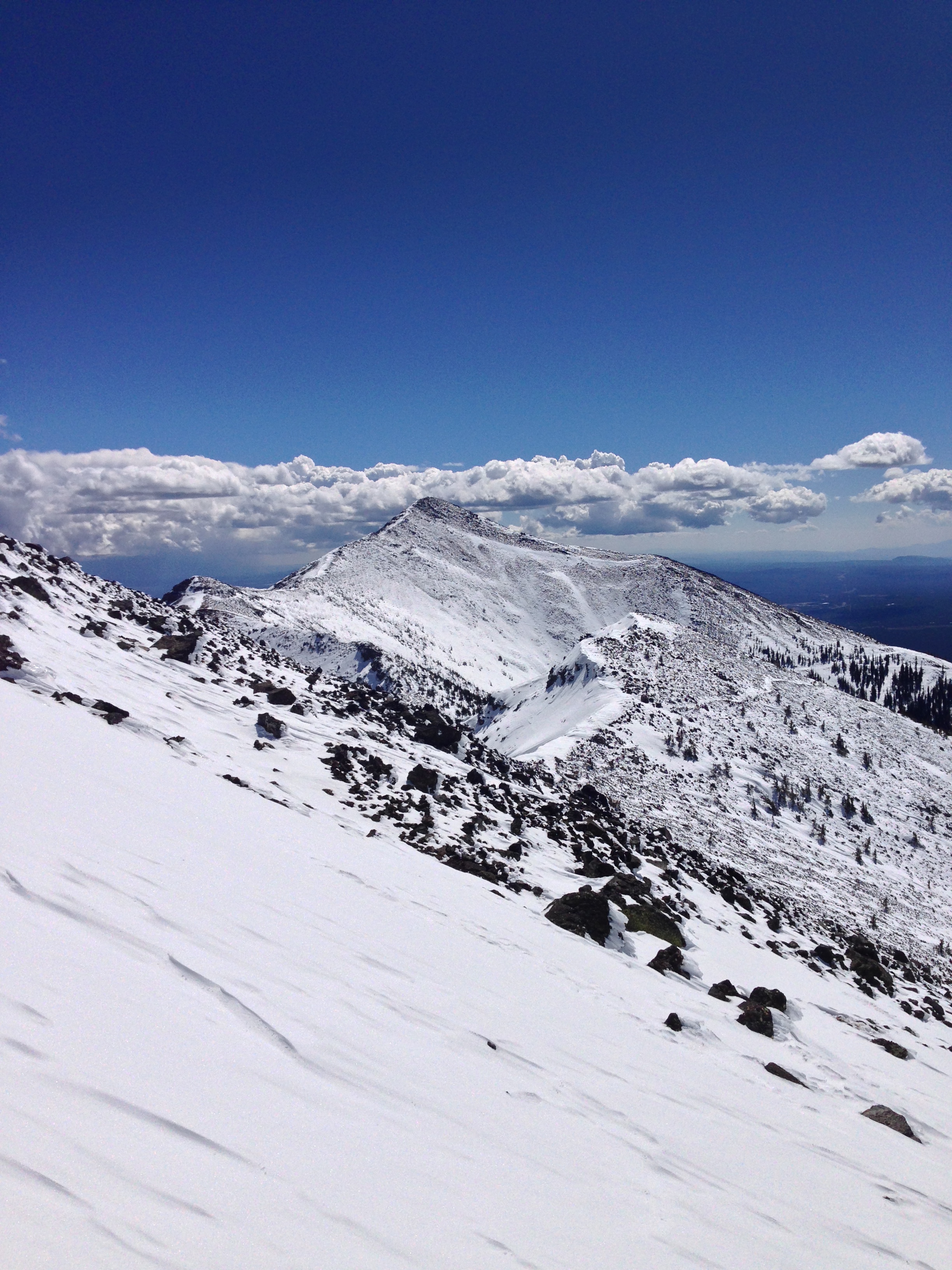
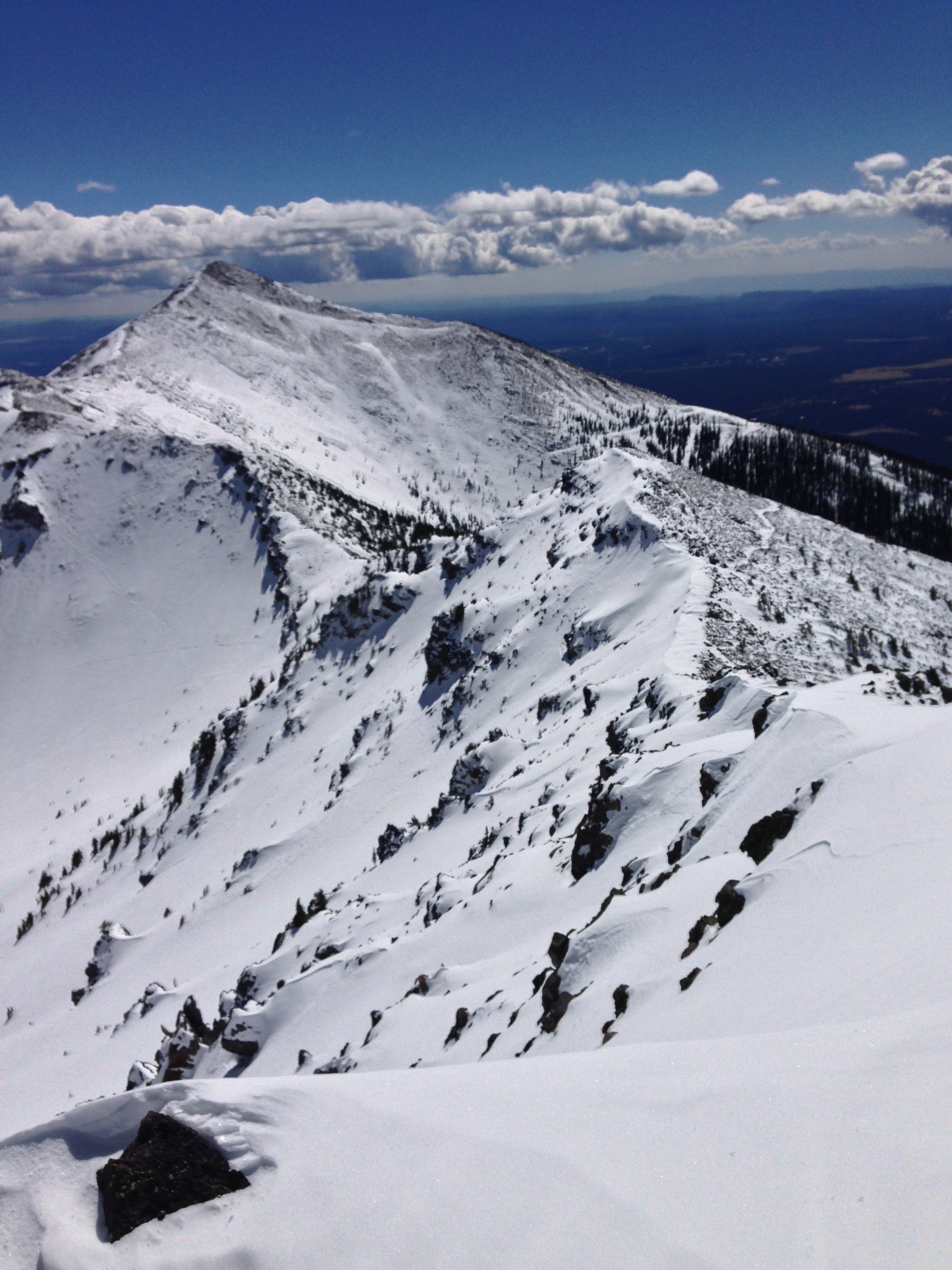
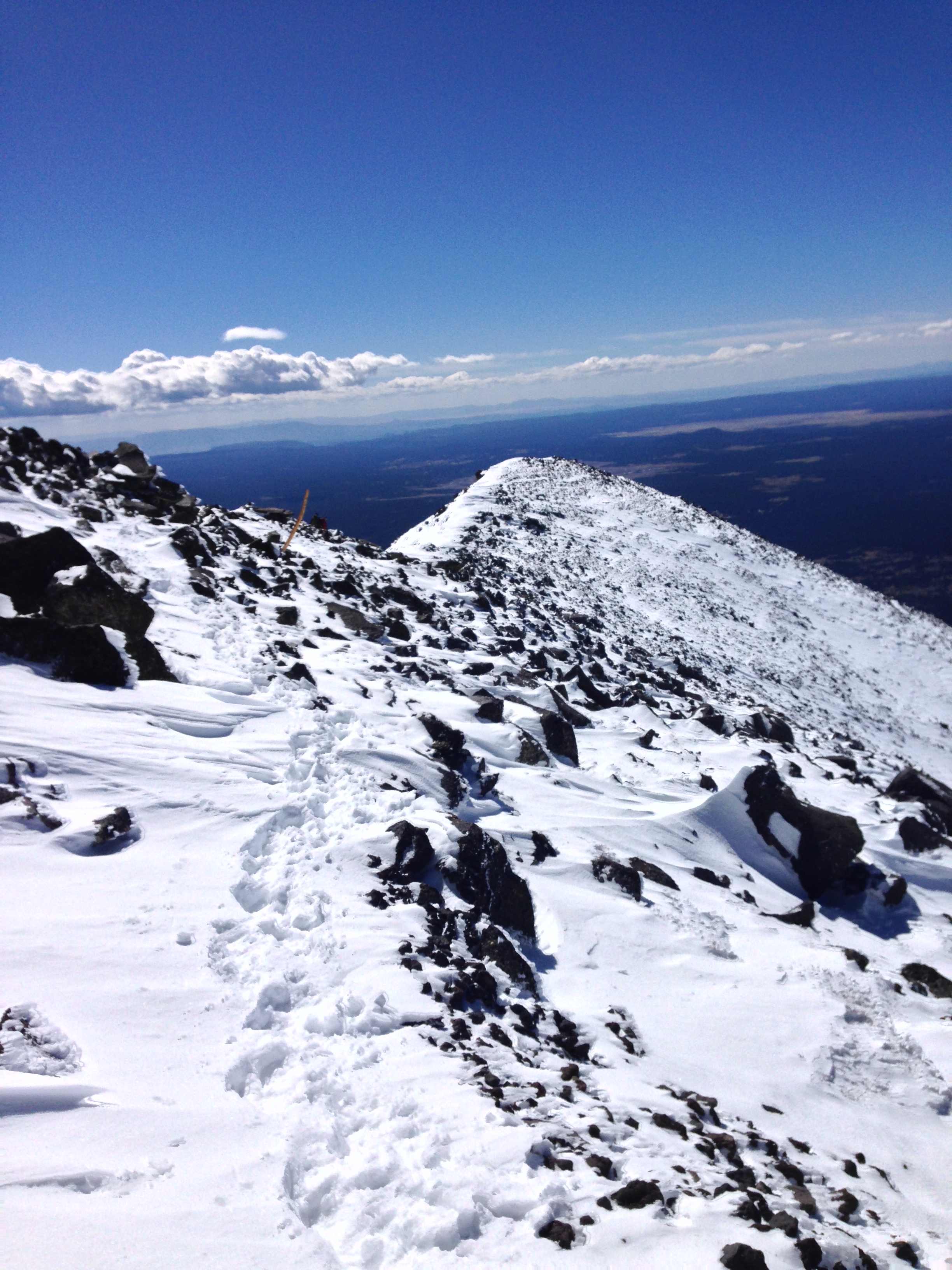
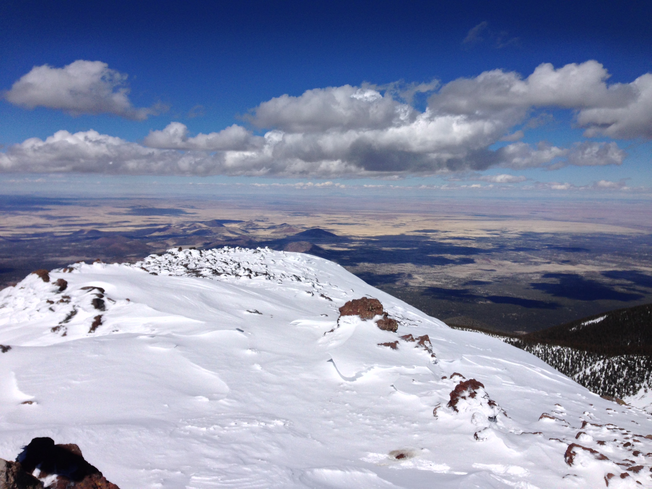
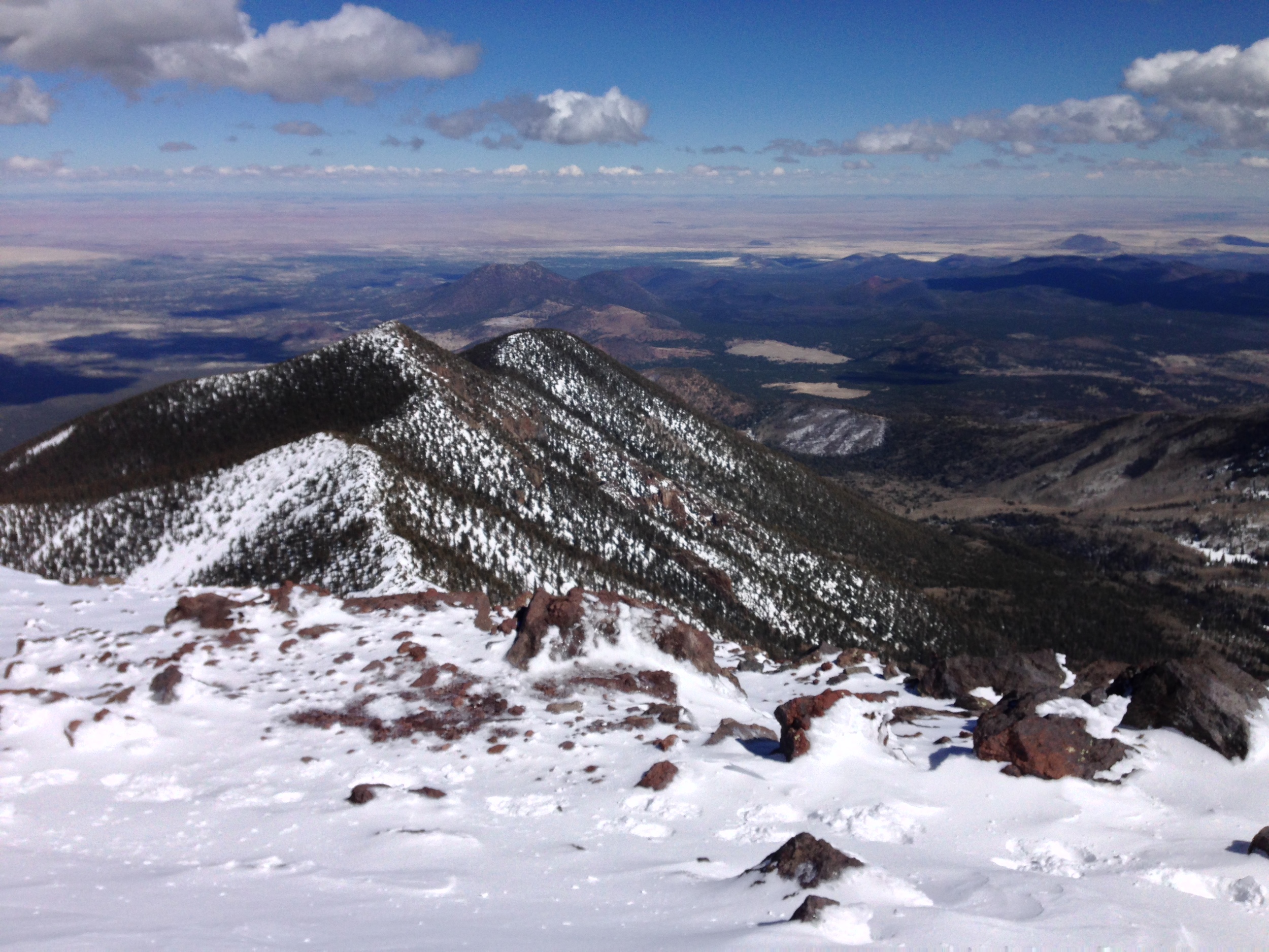
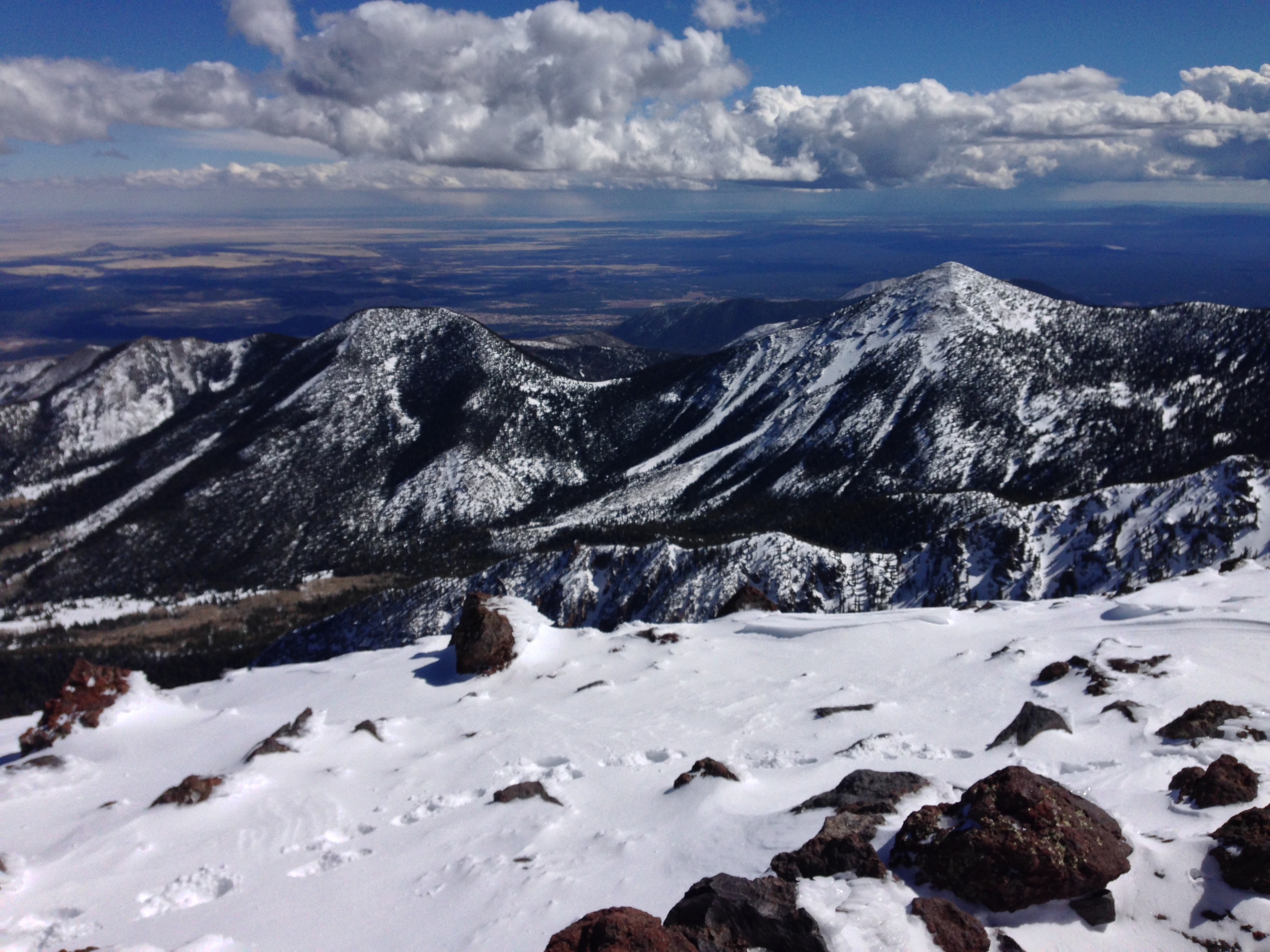
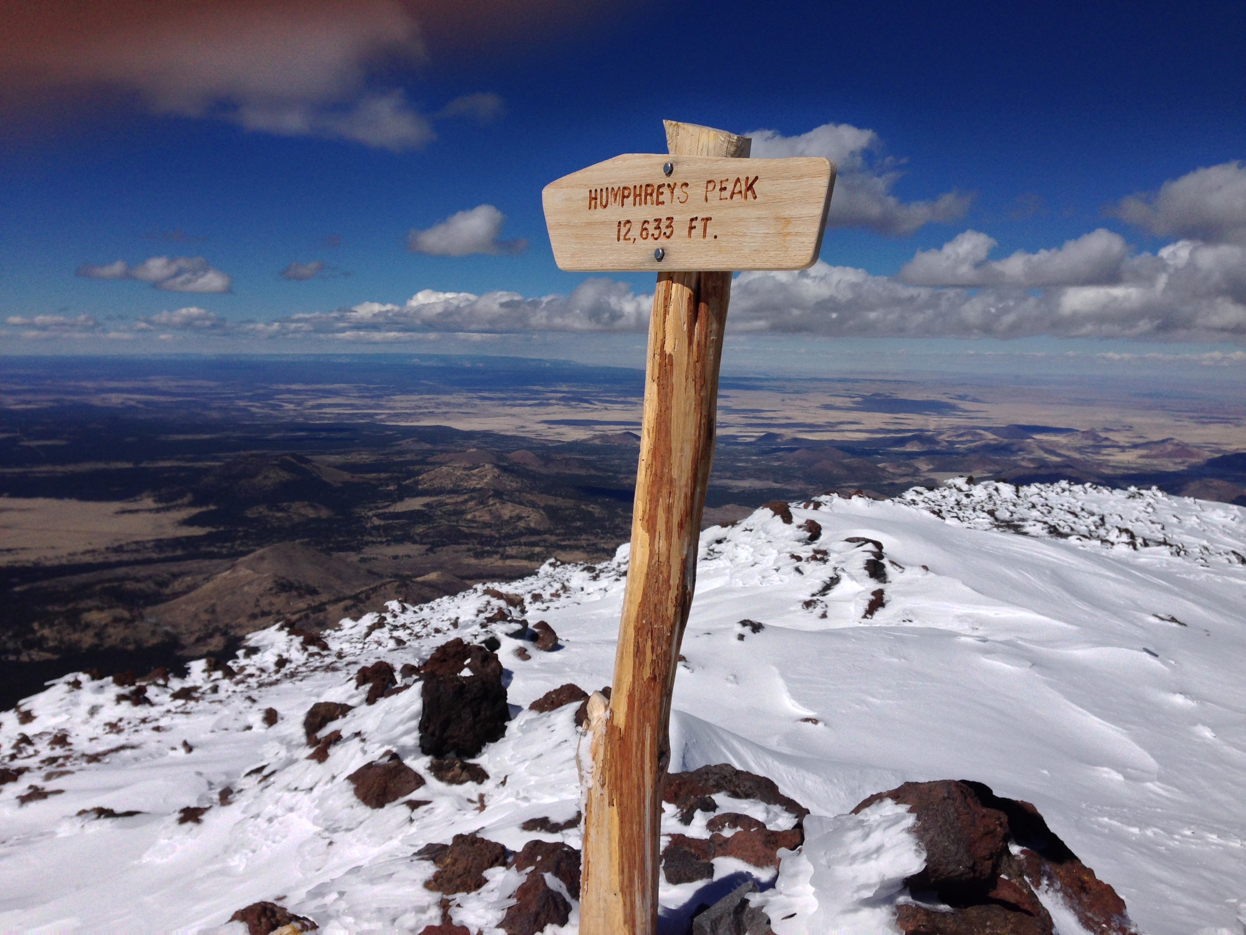
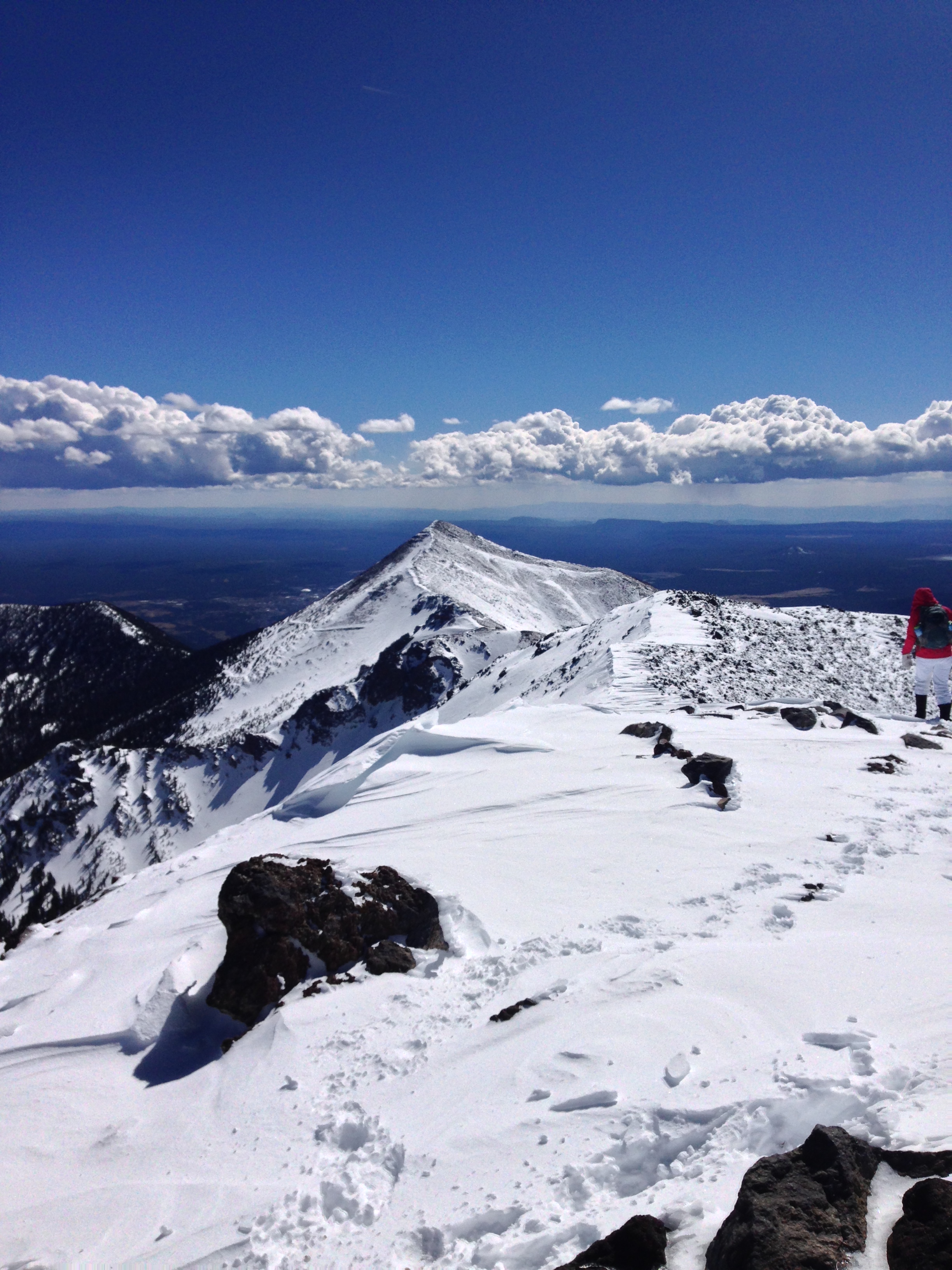
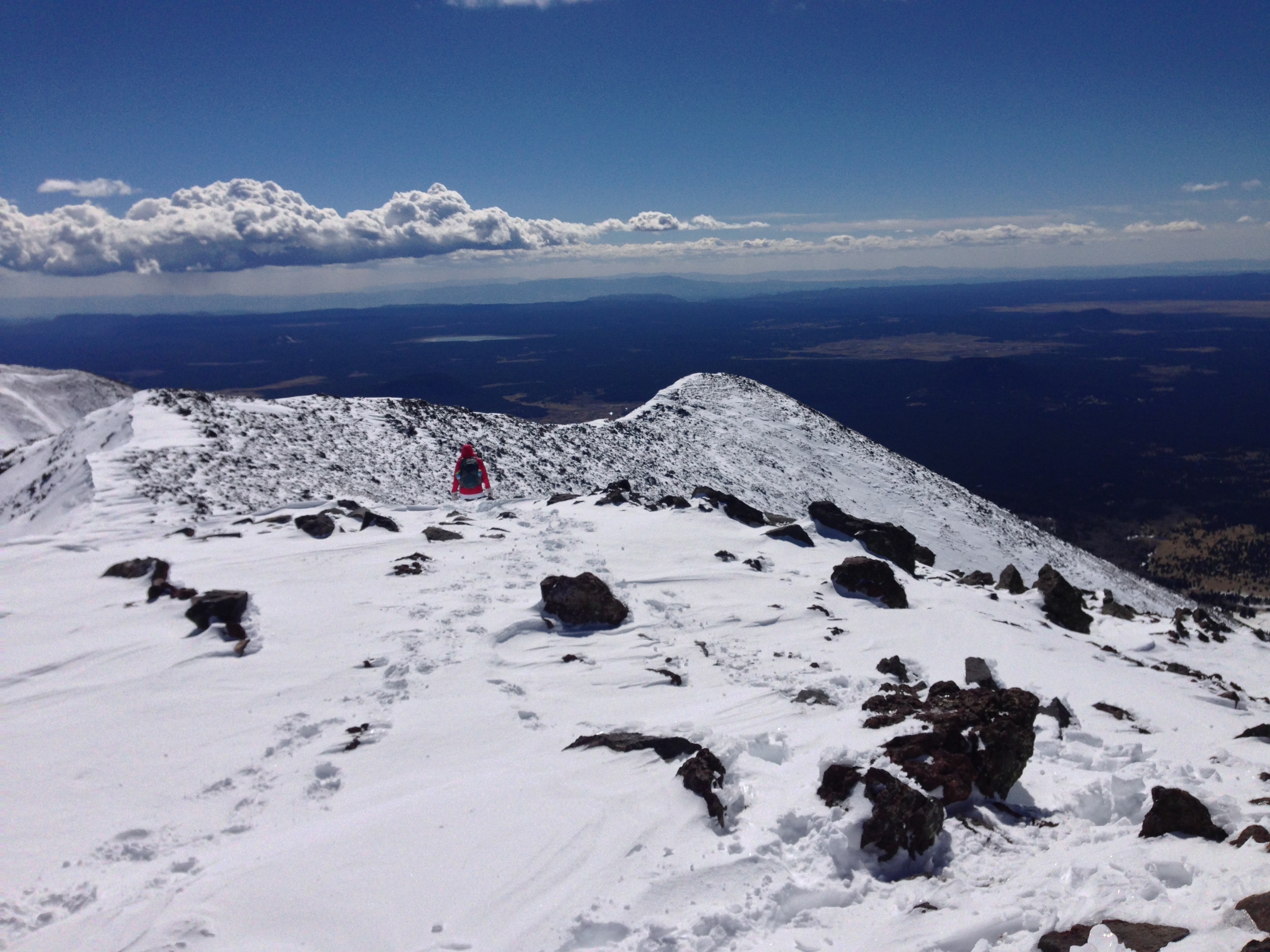
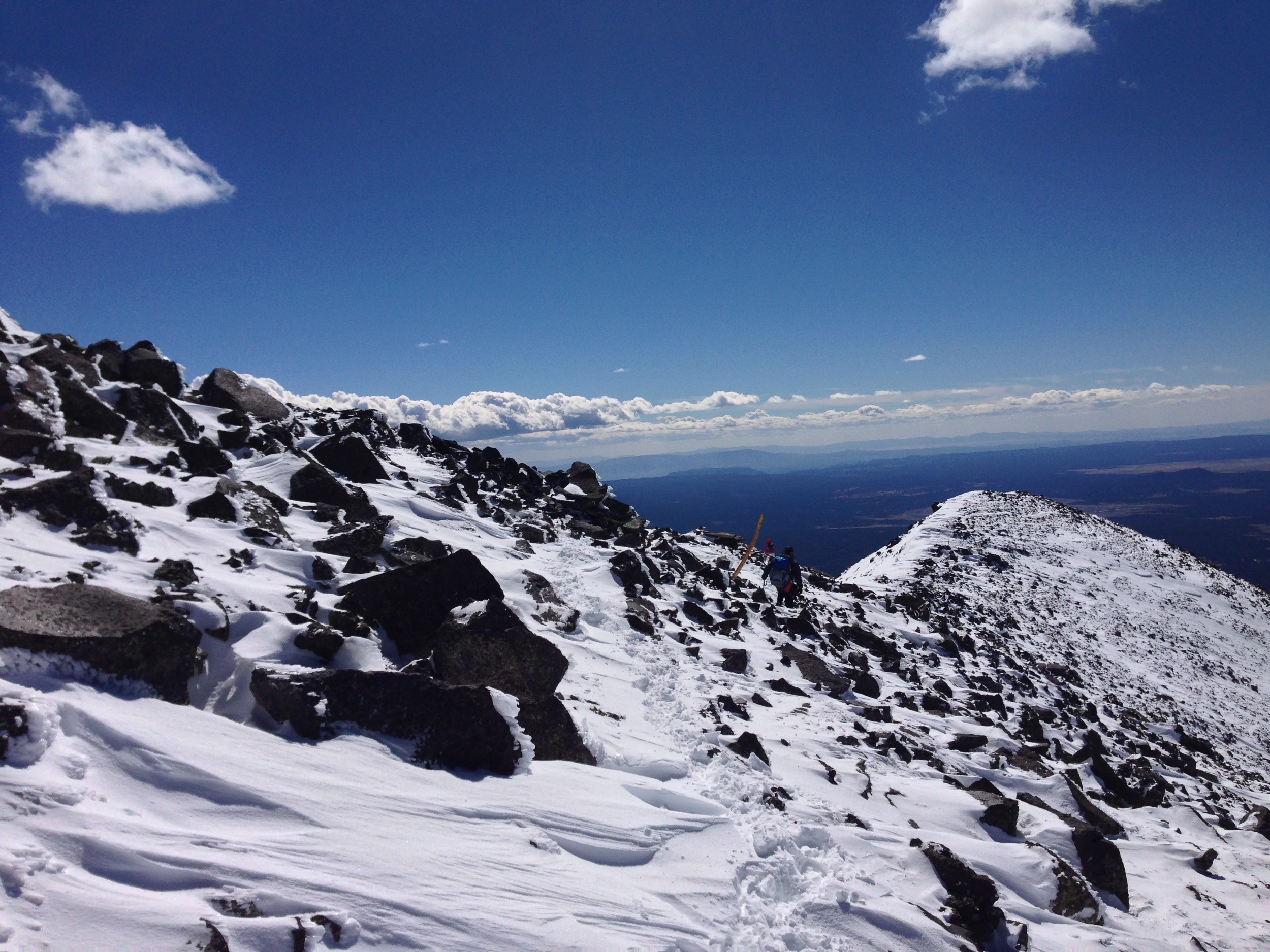
The payoff of this traverse, however, was nearly the best part of the hike. At the end of this traverse, we found ourselves on the talus field where the remains of the B-24 Liberator are located. After checking out the ruins, and taking a short break, we elected to head straight up the slope toward the first false summit. In my opinion, this was an excellent decision, as it shaved off a lot of the distance from the main trail, and was a direct route up to the ridgeline. The only downside of this decision was that the going was fairly slow as it was a steep, direct ascent, but the snow and ice conditions were solid, and with crampons, the going was relatively quick. Once we had reached the top of the false summit, the main trail markers were again readily apparent, and we navigated the rest of the way along the ridgeline near or at the main trail in solid snow/ice. By the time we reached the summit around 1:00 p.m., the wind had picked up a little – but was not gusting more than 20-30 mph. This, combined with the blue sky that had surrounded the peak for most of the day meant that we had climbed in near perfect conditions, and again, in my opinion, it was a great day for climbing. Despite these excellent conditions, with the wind, the summit was fairly chilly, and we did not linger overly long. On the descent, we elected to follow the entirety of the main Mt. Humphreys Trail, which was a bit of a mixed bag. By that time, while the route was more visually apparent, it was also quite slushy due to the sun and warm conditions. Correspondingly, the descent was marred with postholing and lots of slipping; but based on the conditions, these things would have occurred no matter which way we descended. Even with the sloppy conditions on the descent, we made good time back to the snowbowl and departed well before dark.
Tips: Although the conditions may change if another storm rolls through the area, it is clear to me that what snow remains on the mountain is melting fast. I also suspect that during the week it took me to write this post, substantial amounts of snow have melted off the mountain. Based on the current conditions, I would doubt that substantial amounts of snow will remain on the mountain past April 1, and even that may be pushing it. Based on these conditions, there is no need for snowshoes when attempting a winter ascent, and as the melt continues, less of a need for ice axes and or crampons. However, as with any climb, check the conditions before you head out, and enjoy your time when you are there!