
If you ask me, Death Valley National Park should be known for one thing and one thing only: geology. Within the confines of the park boundaries a visitor can explore sediments that were deposited from ancient lakes (the Devil’s Golf Course); the effects of active volcanism (Ubehebe Crater); uplifting (the Panamint Range); erosion (Mosaic Canyon; Mesquite Flat Sand Dunes); and much much more. It is clear to me that there are few places on the surface of the planet that offer this much geologic variety within a short expanse, and no places on the planet that protect the resources in the way that Death Valley National Park does. But, before these geologic treasures were protected, the park was a hotbed of one thing and one thing only: mining.The geologic variety present in the park made it a prospector’s dream, and before the area was protected, minerals such as gold, copper, lead, tungsten, and borax were taken from the area. Today, while mining is no longer allowed in the park, the legacy of such mines remains for park visitors to see (such as Ashford Mill and the Eureka Mine).
Hazards of mine exploration, Death Valley National Park
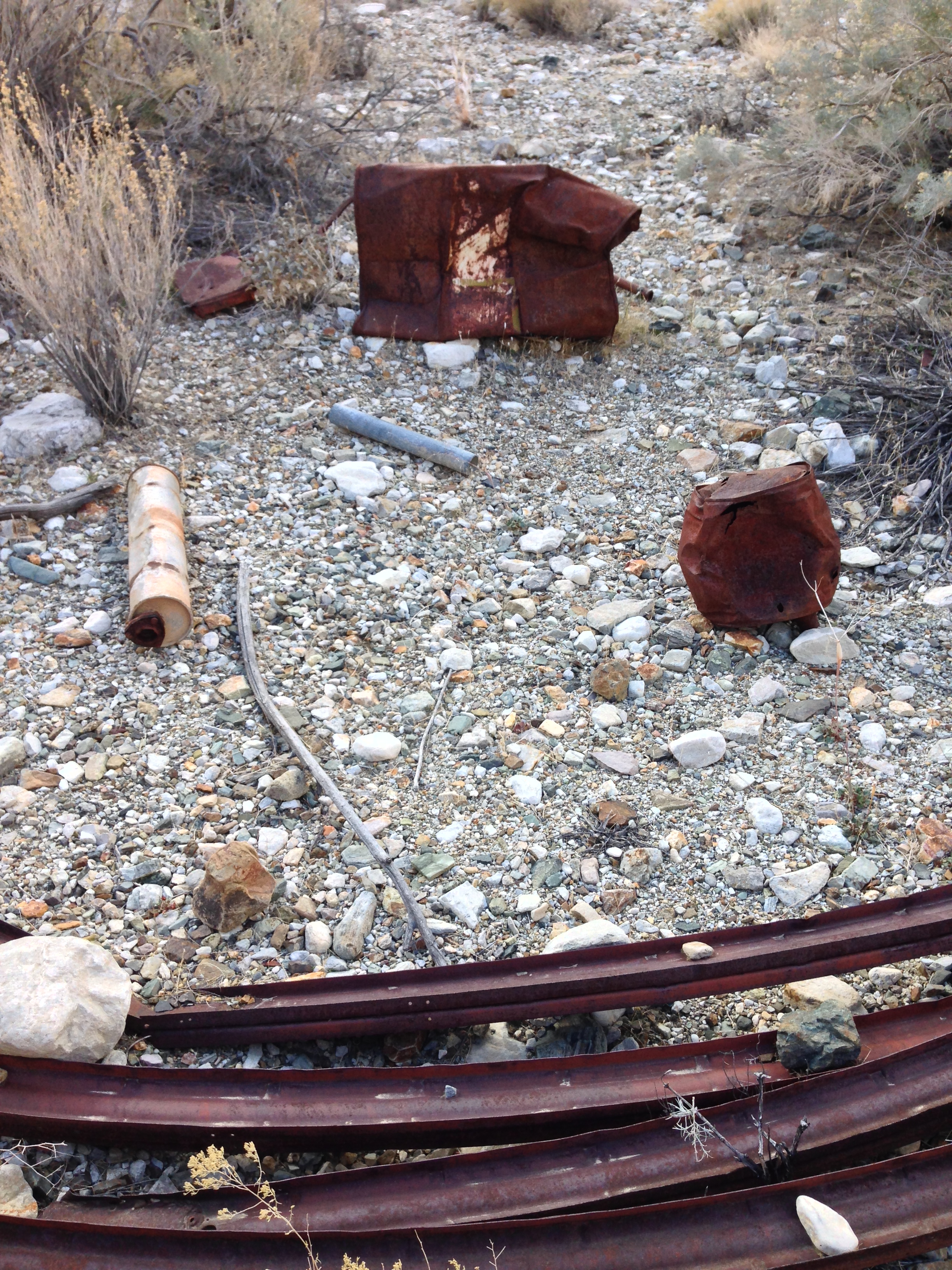
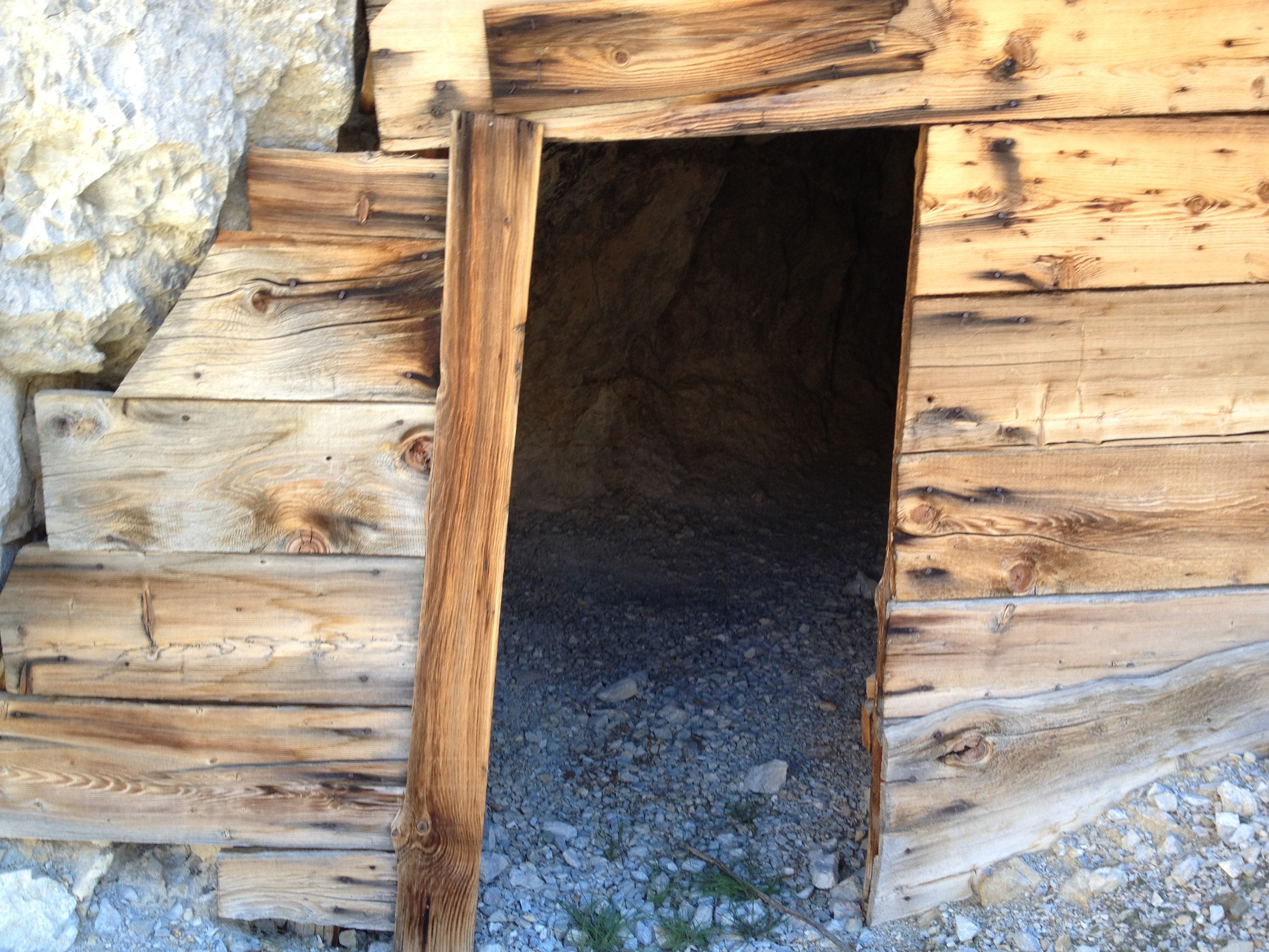
While most of the mines in the park have been sealed by the National Park Service for the public’s protection, some of the mines in the more remote areas of the park can be found and explored by intrepid visitors. Such exploration is not for the faint-hearted: as the above sign states, abandoned mines carry a plethora of hazards. If those physical dangers aren’t enough of a deterrent, the Panamint Range of the park is rumored to harbor a series of large underground caverns containing strange creatures and even stranger relics. If you are interested in exploring a Death Valley mines safely, or just seeing an open Death Valley mine, despite the above listed hazards, the easiest mine to see in the backcountry is Shorty’s Mine. The mine is named after an early twentieth century prospector, Alexander “Shorty” Borden. In the late 1920’s, Shorty filed a claim in Hanaupah Canyon after discovering some silver ore; and in 1932, he began to construct what is still the road leading from Badwater Basin to his claim above Hanaupah Spring (now Shorty’s Well).

Shorty did not have a lot of resources to construct the road; and the record states that he constructed the road with a pick, crowbar, shovel, dynamite, and a few burros. While all of this may sound somewhat typical of early twentieth century mining, or mining in general, what makes this story exceptional is that Shorty was sixty-five years old when he started his project, and was only sixty-five and one-half when he finished the project. Yes, that’s right: it only took him six months to construct a nine mile road in Death Valley by himself – truly a remarkable feat! Today, while the outbuildings are gone, the mine remains – and more importantly, the spring remains as a source of fresh water in one of the most inhospitable environments on the planet.
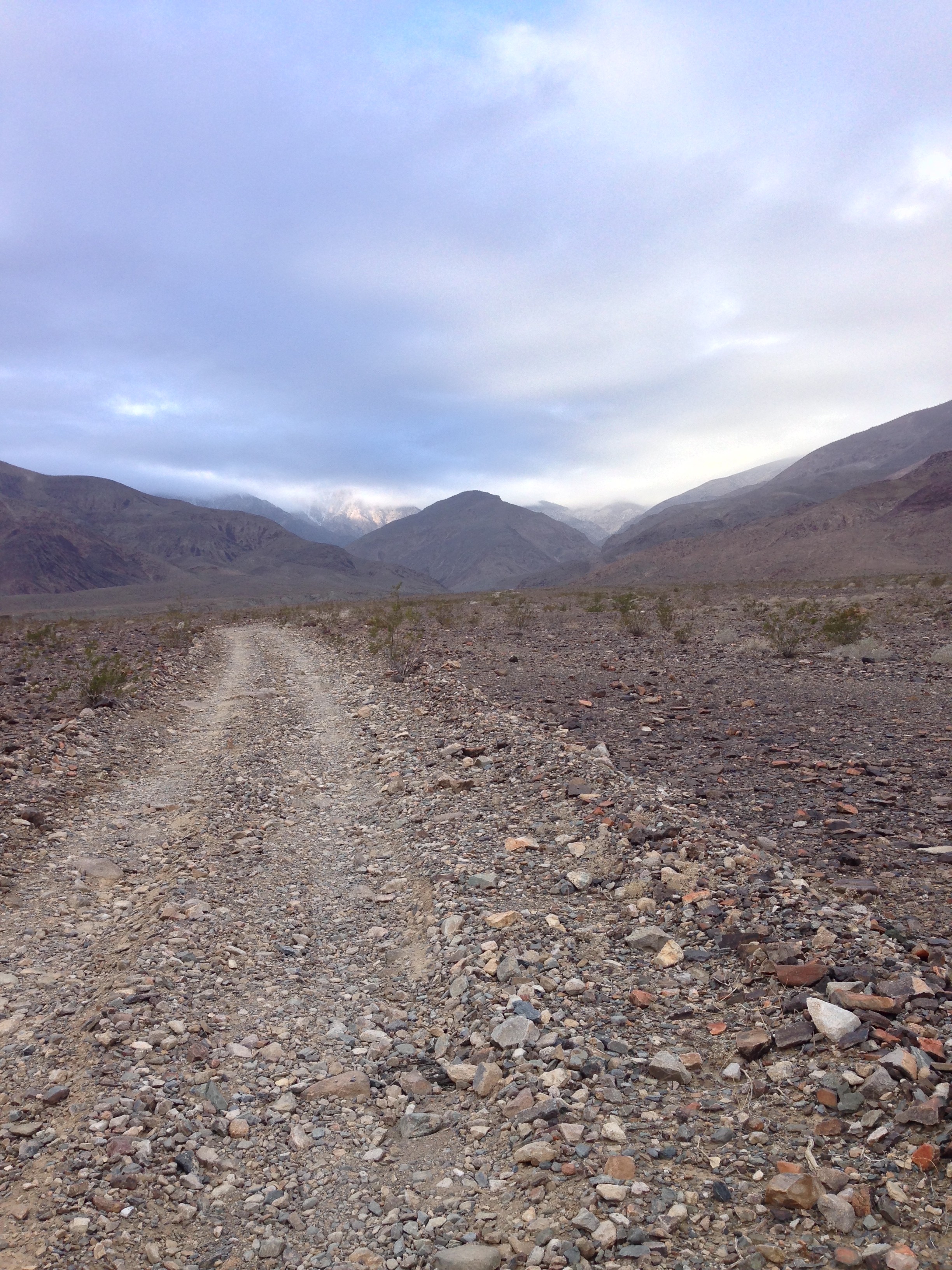
Directions: This hike can be done in two ways; the easy way – or the hard way. Either way, the route leaves from the intersection of the West Side Road and Hanaupah Canyon road. Visitors should be aware that the West Side Road is an unpaved, but maintained National Park Service road that is located approximately 1 mile North of the Artist’s Palette turnout. While standard drive vehicles can pass on the West Side Road during most times of the year, visitors should always check the conditions before heading out, as this is a remote area of the park. While the West Side Road is standard wheel drive accessible, Hanaupah Canyon Road is slightly more technical. While it too is passable by most standard drive vehicles during parts of the year, I would advise any potential visitor seeking to drive it to have either 4WD or AWD, as is not as well maintained. If you are looking to complete this hike in the “easy” manner, you will drive up Hanaupah Canyon Road for a little over six miles to the end of the road, and follow my directions from there. While I appreciate a good off-road experience as much as the next person, I recommend that you not do this unless you really dislike hiking, or have another reason not to hike.
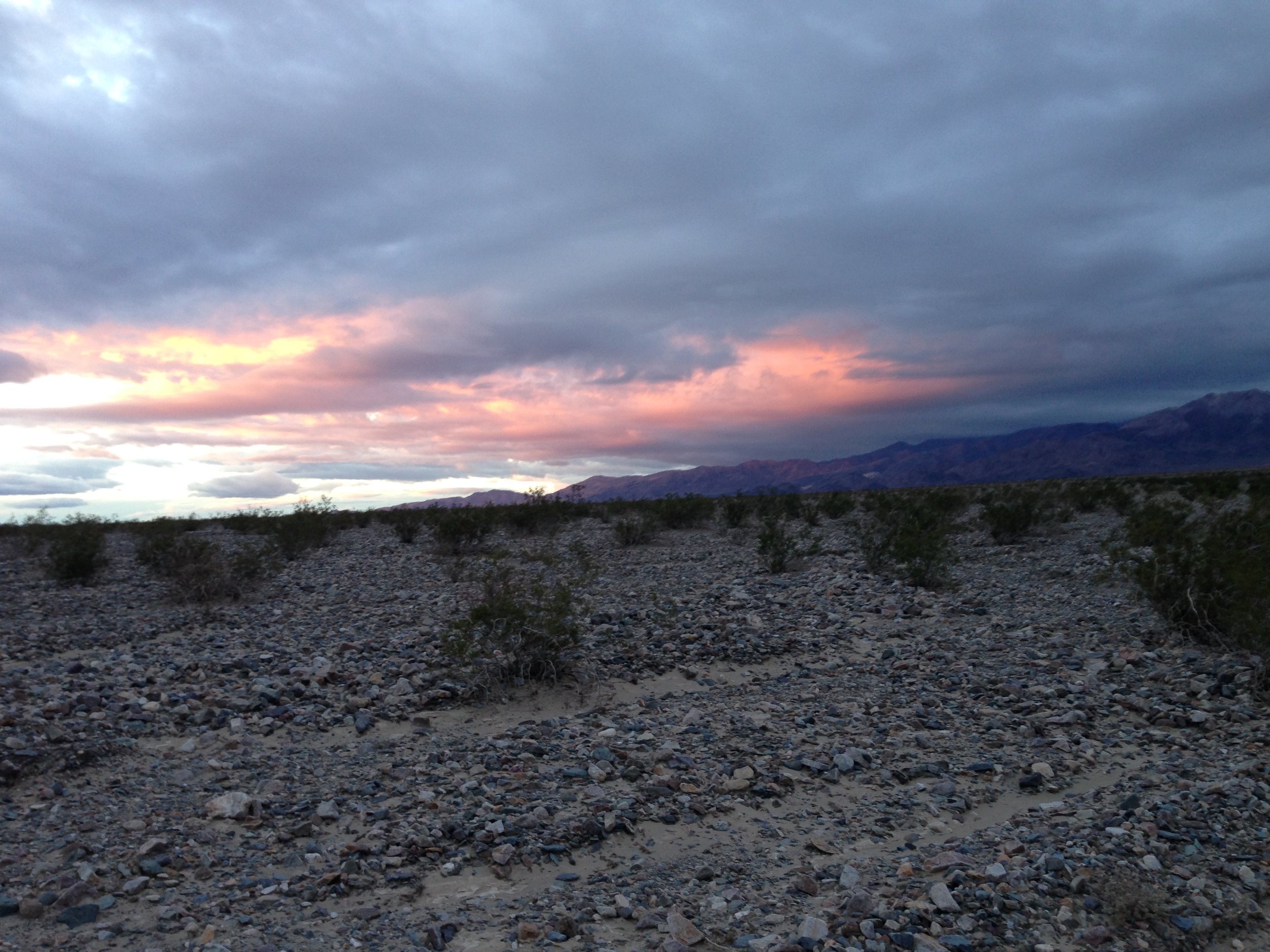
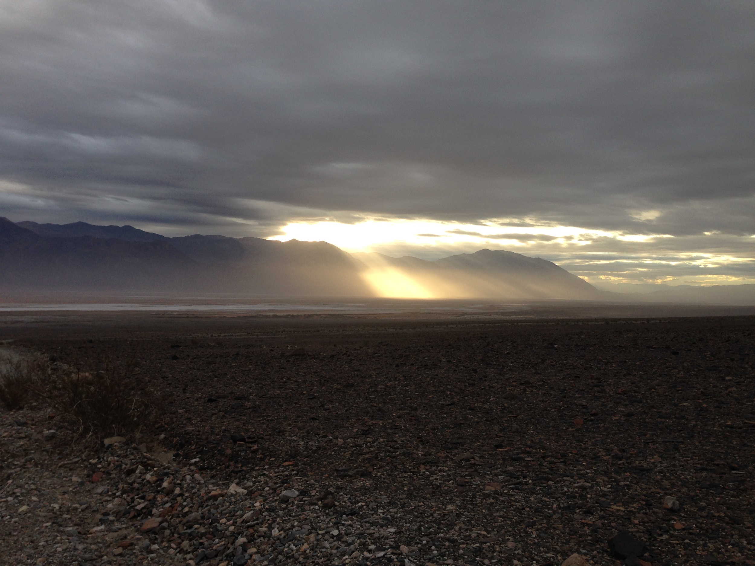
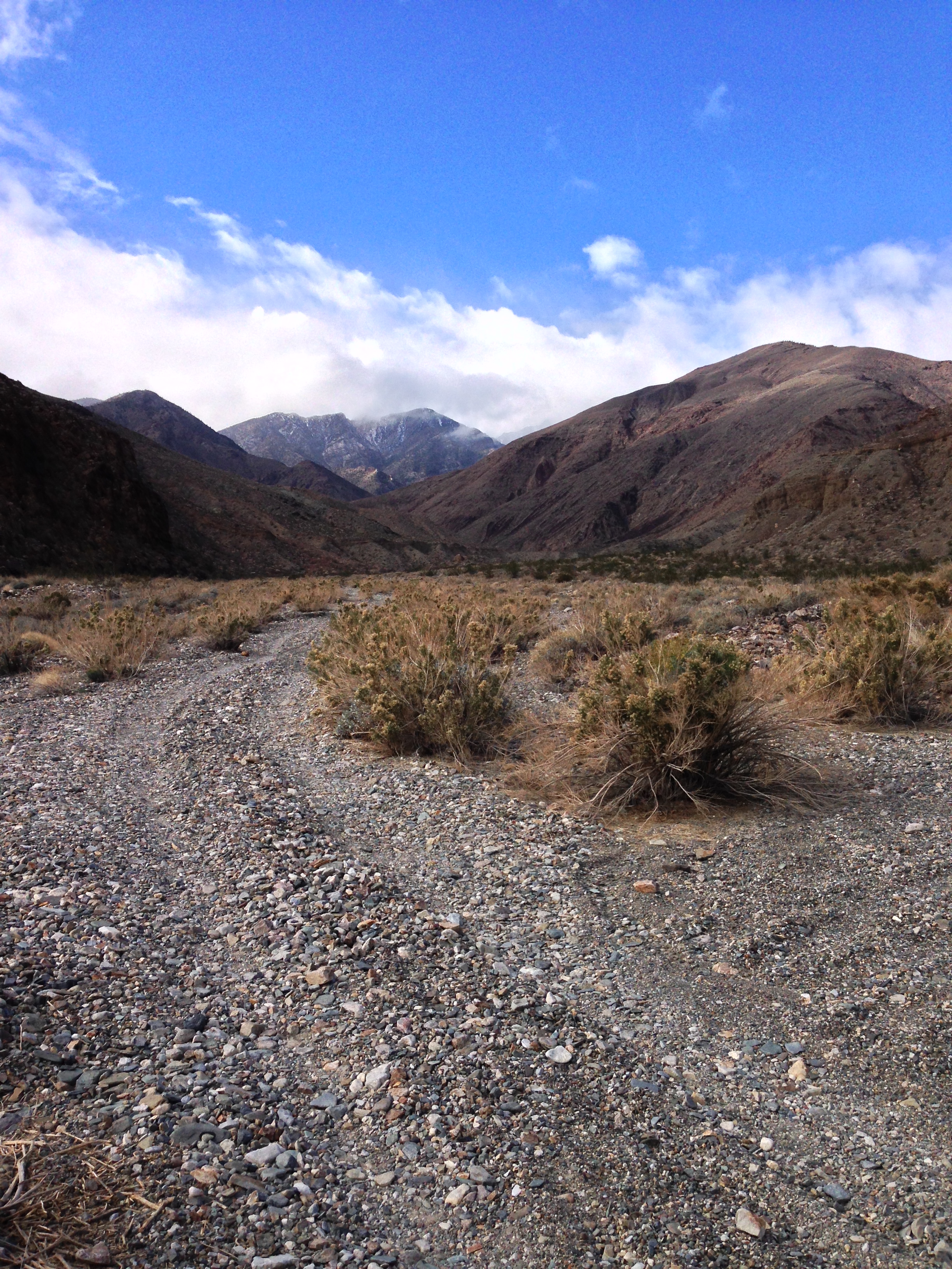
My reason for recommending that you walk is this: the terrain is stunning. At the intersection of Hanaupah Canyon Road and the West Side Road, you are in the lowest portion of the park, Badwater Basin. From this point, the road climbs out of the basin, and through several of the geologic zones of the park. If that wasn’t reason enough, while you are hiking out of Badwater Basin, you will be treated to increasingly stunning views of the Panamint Range and Hanaupah Canyon itself. In terms of directions, the route is fairly simple: follow the road from the West Side Road/Hanaupah Canyon intersection, and head West. While the route is not flagged, it is nearly impossible to get lost.
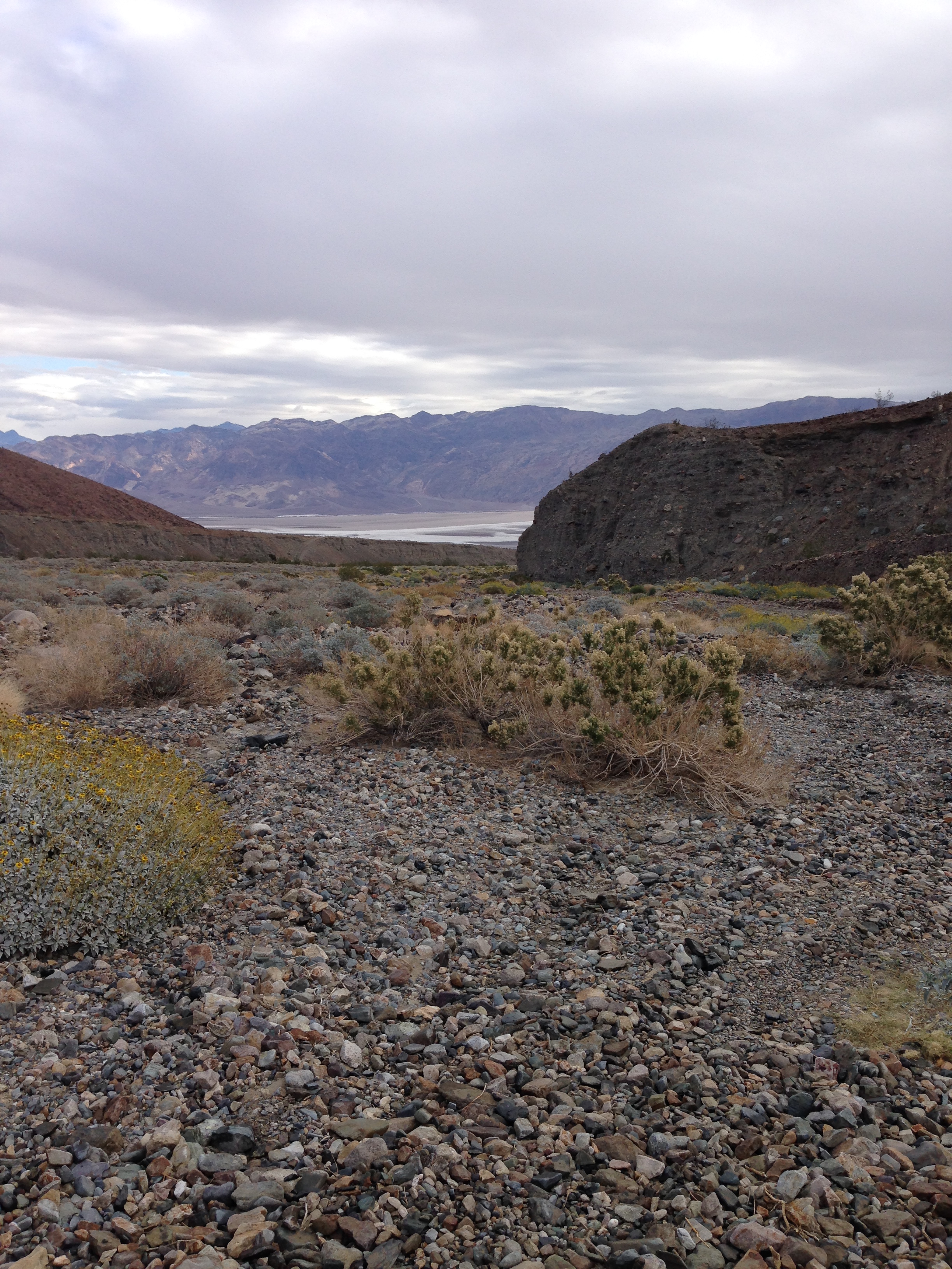
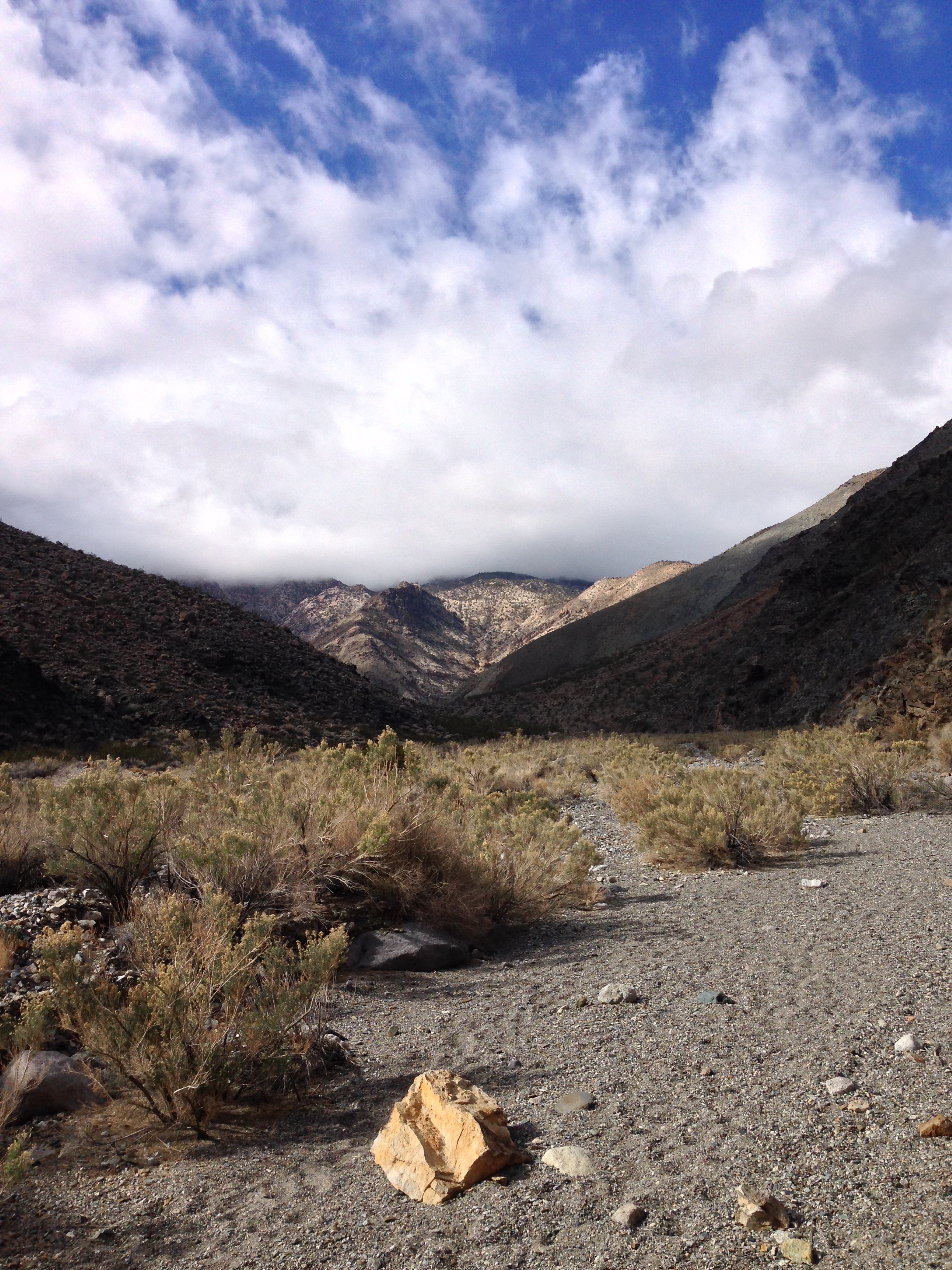
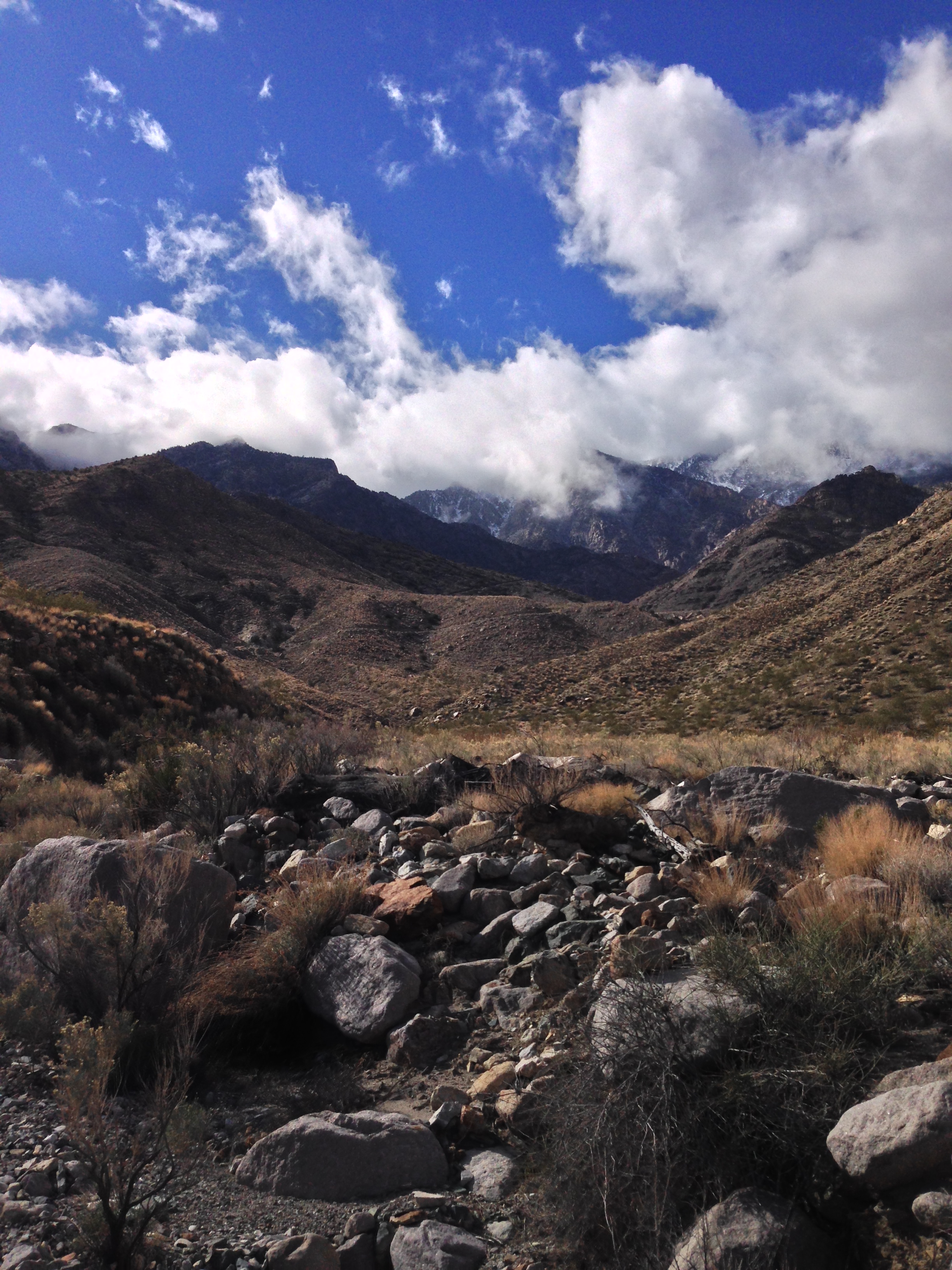
At just past six miles, the road dead ends in mid-Hanaupah Canyon. This is where the “easy” and the “hard” routes meet up. Off-roaders will have fresh legs, and will be immediately ready to head up trail, while day hikers will likely want to stop for a rest break in the shade of the canyon. Both groups will want to look for a small green National Park Service sign denoting the end of the road, as the foot trail heads up the canyon from this point on. From the end of the road, there is no official “trail”; but there is a series of foot trails that hikers have marked out via cairns. The best route is along the Southern (left) side of the canyon, where a trail winds around the side. Unless you are interested in the Shorty’s Well traverse, or exploration in general, do not leave the main canyon, despite the many slot canyons that are present on the side of Hanaupah Canyon.
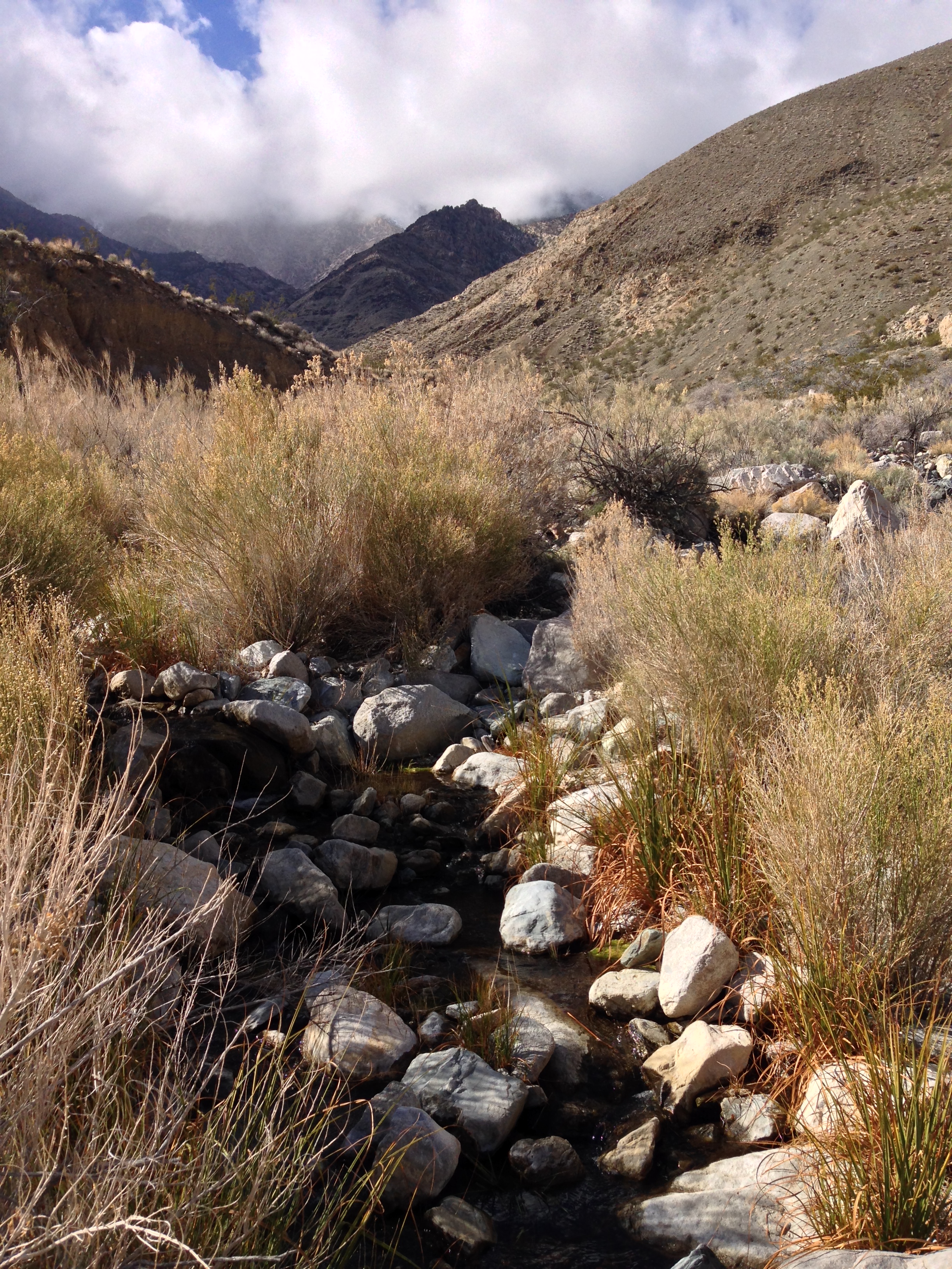
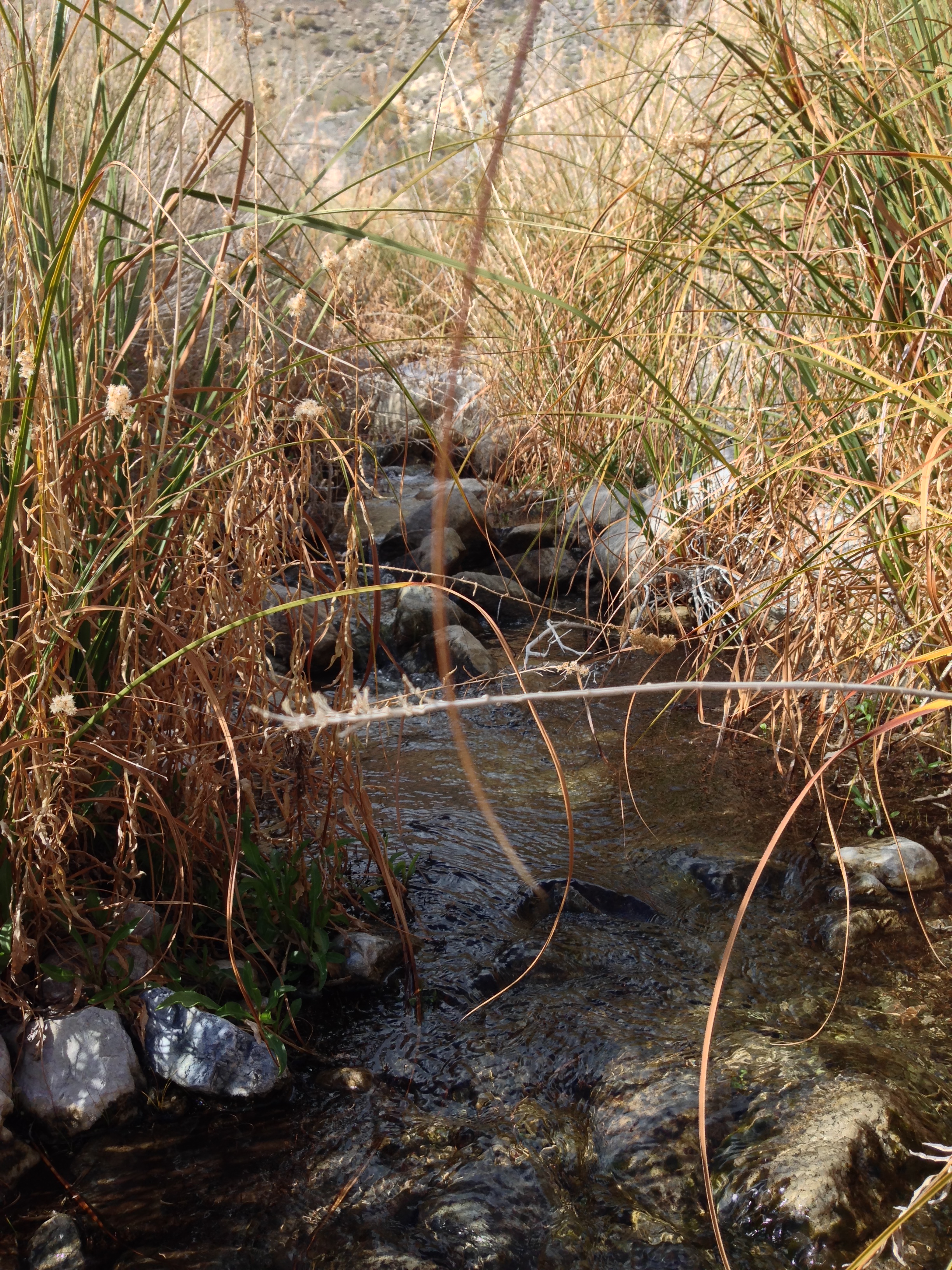
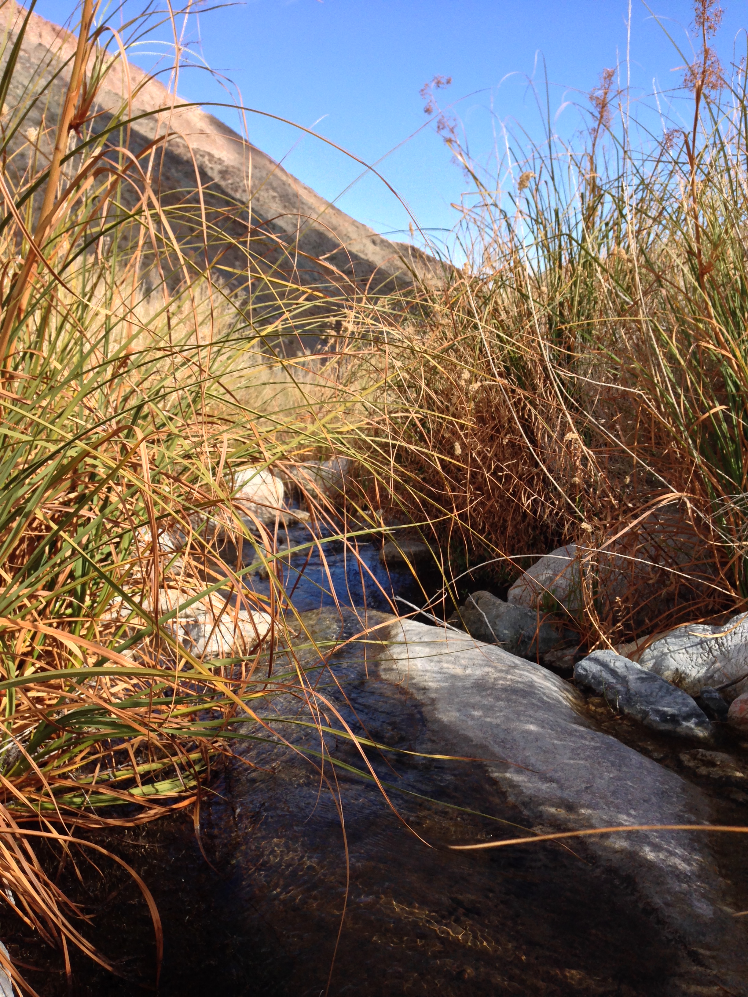
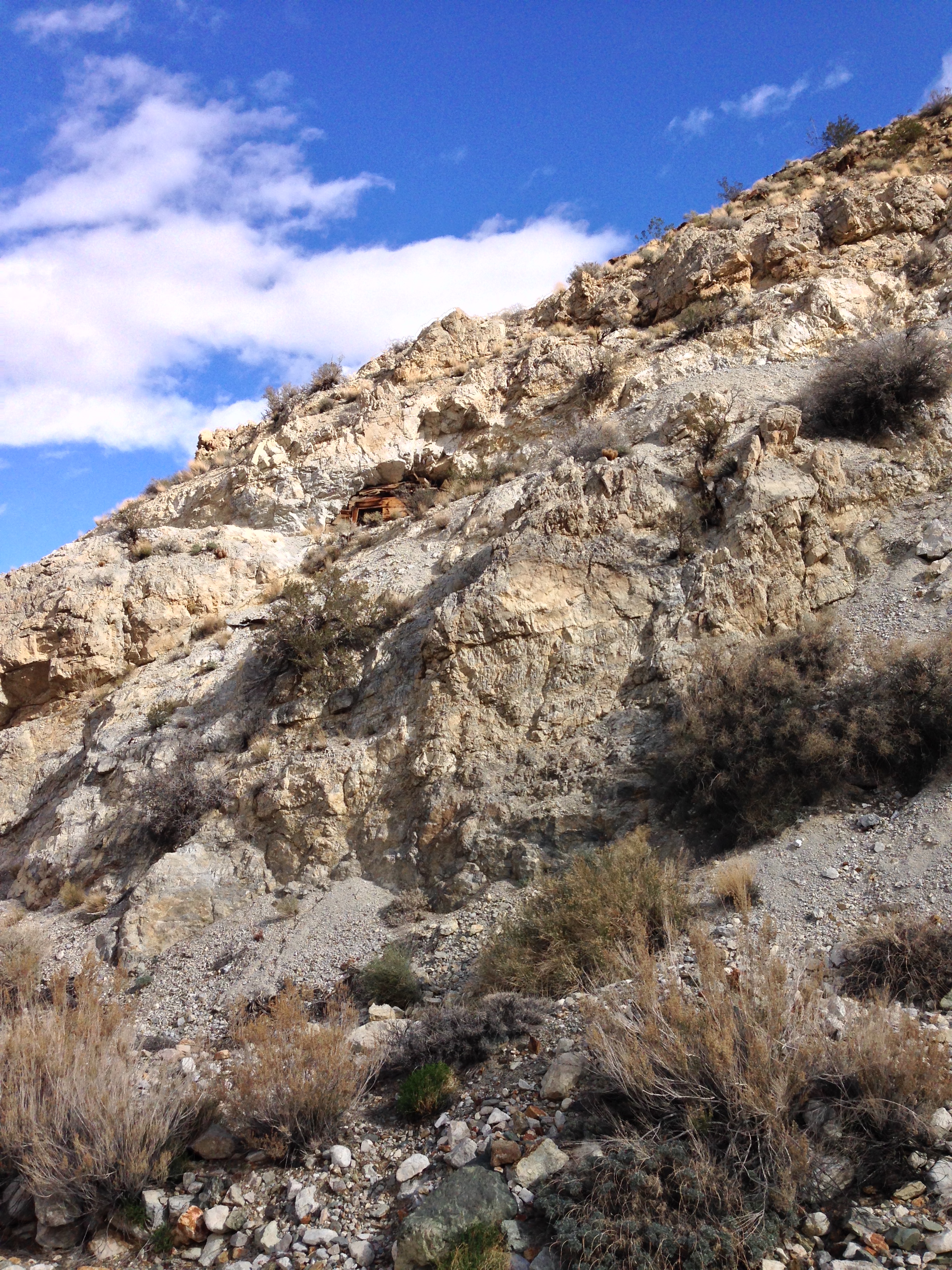
After a mile, all hikers will notice that there is water flowing down the middle of the canyon from Hanaupah Spring (Shorty’s Well). If you are not on the foot trail, follow the water upstream for half a mile to where the canyon bends south (left). At this point, you should see the remains of old mining equipment, and a foot trail leading up to the mine itself along the Southeastern canyon wall. While the mine is not sealed, again, exercise proper caution if you decide to explore it. Once you are done, return the way you came for an eight to nine mile roundtrip hike. Do note that while the hike is mostly on a graded gravel road, this is a strenuous hike due to the elevation gain and distance. Despite that, this is a great way to experience the real essence of Death Valley.
Tips: The best time for this hike is from late October to mid-April, before Death Valley experiences its famous summer heat. If you are attempting this hike in the summer months, be sure to leave early in the morning to avoid as much of the heat as possible. As always with hiking in Death Valley, be sure to bring plenty of water, and if you are planning to resupply with water at the well, be sure to treat the water you take from the source.