Kwaaymii Point, September 2014
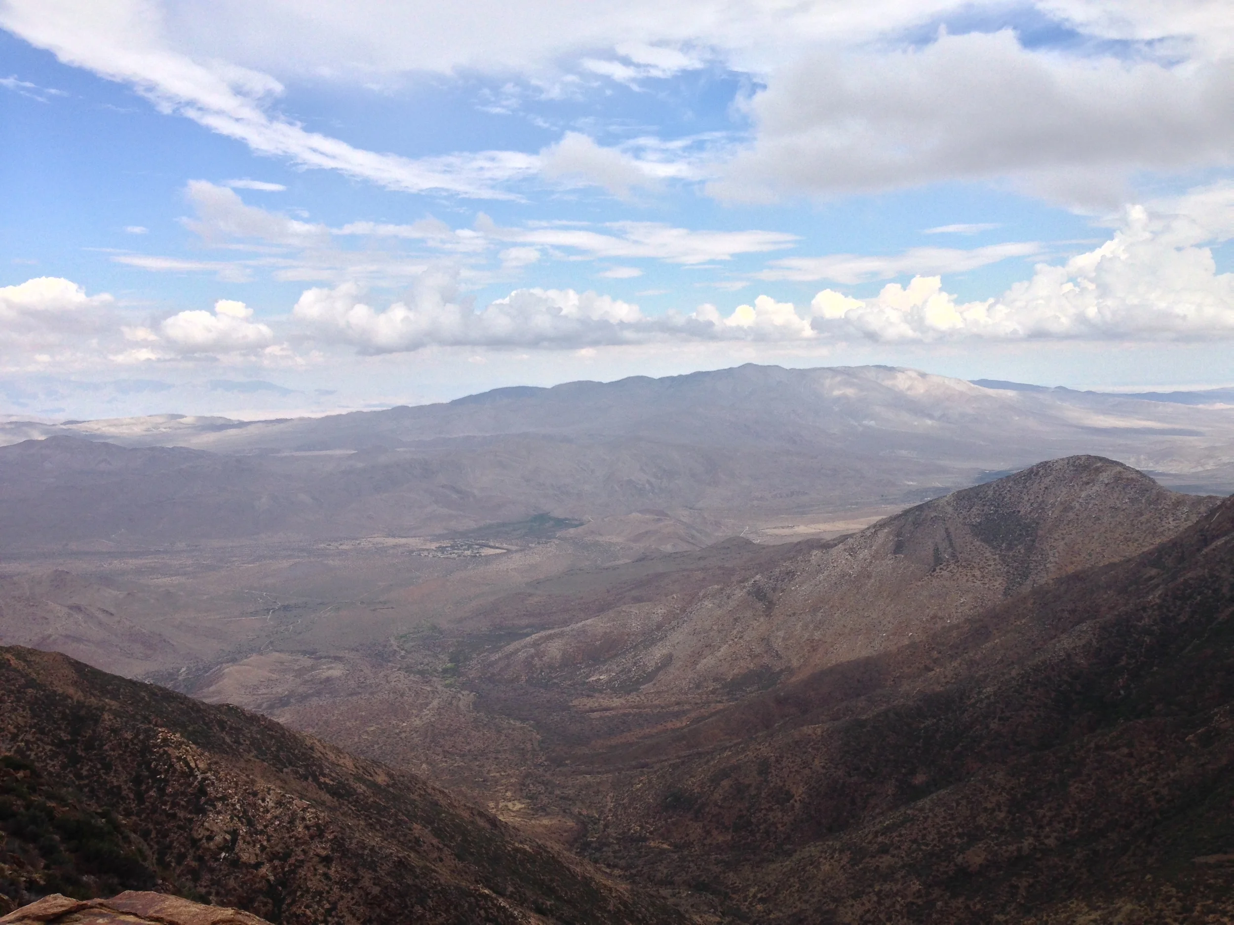
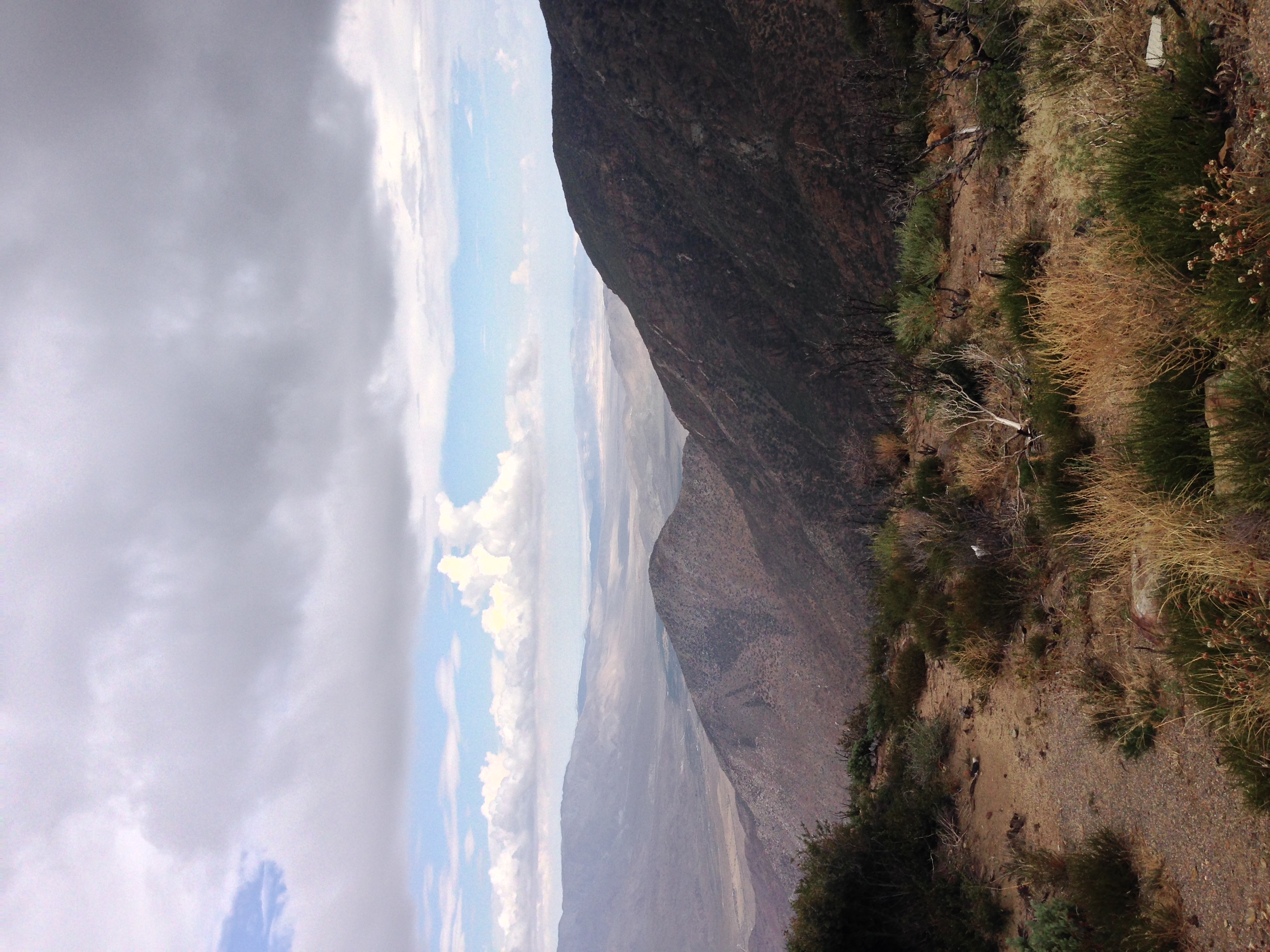
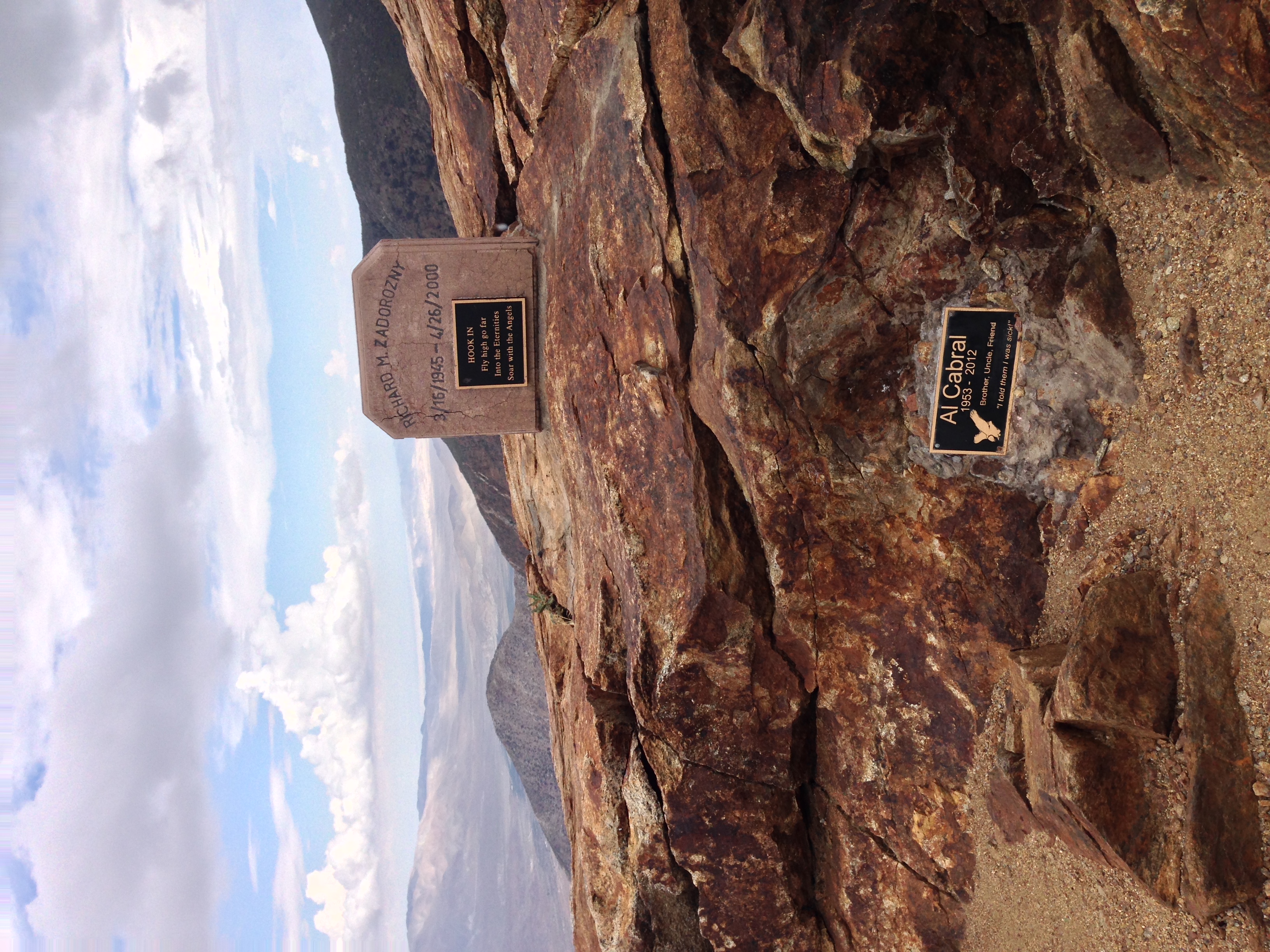
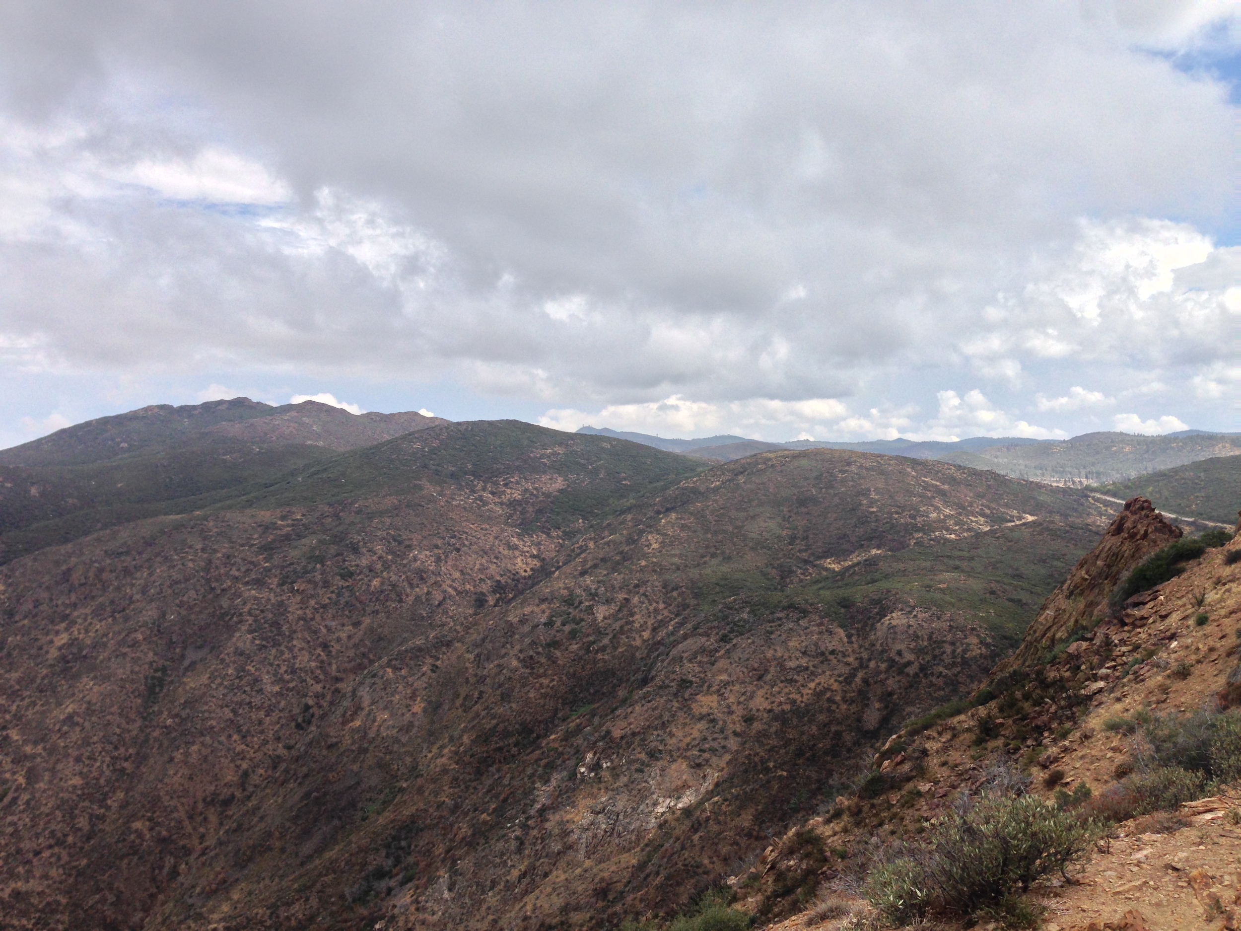
One of the more obscure and strange hiking destinations in San Diego is located on the Eastern border of the county, and sits right on the border of the Anza-Borrego State Park and the Cleveland National Forest. In addition to being one of the strangest hiking destinations, the spot has some of the best views in the county as it is located on the edge of the Laguna Mountains. This spot is Kwaaymii Point, which has great views of the Anza-Borrego Desert to the East, and on a clear day, Mount San Jacinto to the North. I hesitate to say Kwaaymii Point is a hiking destination, as it is a half mile (.5) walk to the actual point one-way on a very wide and still almost flat path. However, the stretch of "trail" that goes to Kwaaymii Point is notable for two reasons; first, because it is part of the Pacific Crest Trail ("PCT") that runs from Mexico to Canada; and second, because this section of trail was actually the pre-1975 Sunrise Highway (as can be seen from the still existing retaining walls over Cottonwood Canyon). Finally, I mentioned that Kwaaymii Point is a bit strange, and the reason I said that is because it has become a popular area for official death markers - and unofficial death markers. While these markers are not actual "graves" per se, they are still formal remembrances to the people that have passed, and are located at the prime viewing location above Cottonwood Canyon. Unfortunately, other people have taken to tagging remembrances of other people (and other things) on the rocks above the old roadbed as well. If nothing else, however, these markers demonstrate that this spot is - and has been a special and unique place to people throughout the years, and is a great place for a quick visit, and short hike that is accessible for all ages and abilities.

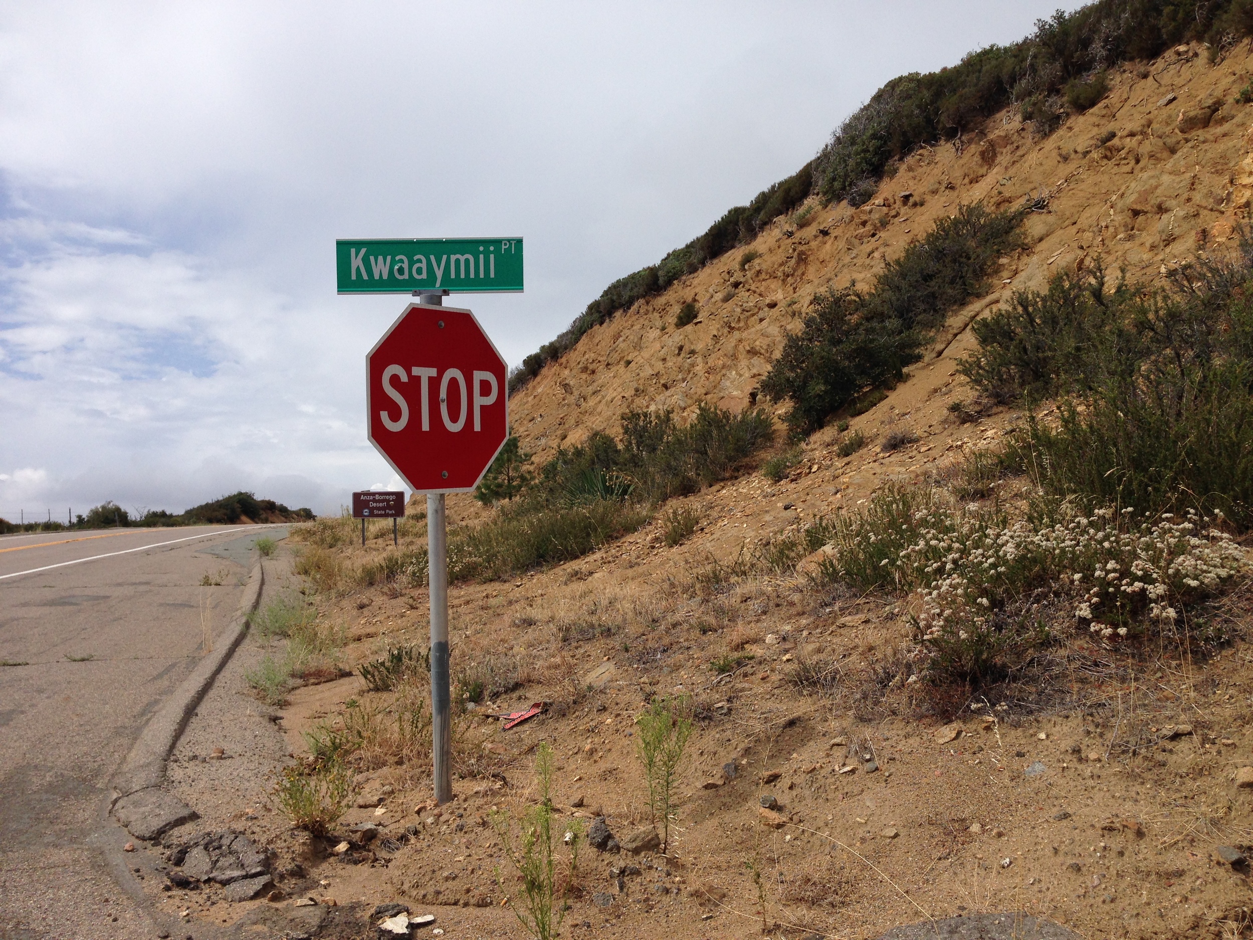

Directions: Kwaaymii Point is located directly off of Sunrise Highway (S1) at mile marker 30.3. The road is well signed, and is the only paved road in this area of the Cleveland National Forest. To access Kwaaymii Point, follow the road to the end, and proceed on foot South along the PCT.
Tips: This spot is located directly next to one of my favorite hikes in the county, Garnet Peak, and in addition to that, is a great spot with dark skies for meteor shower, or other stargazing opportunities.