Eastern Sierra

Mount Dana

Mount Dana

The tallest peak in Yosemite National Park is Mount Lyell at 13,120 feet. Coming in a close second, is Mount Dana at 13,061 feet. Like Mount Hoffmann in the geographic center of the park, there is no “trail” to the summit of Mount Dana that is maintained by the National Park Service. Having said that, for those that are willing to route find, brave substantial elevation gain, and risk venturing off the three mile one way distance in minor ways, the payoff is a summit with great three hundred and sixty degree views of the Sierra Nevada mountain range, the high country of Yosemite, and Mono Lake to the east.

North Fork Big Pine Creek to Third Lake

North Fork Big Pine Creek to Third Lake

Chances are, if you have any sort of social media presence, you’ve seen with increasing frequency some sort of picture of people, tents, or both laid out artfully in front of tall mountains and crystal blue lakes. And, if you’ve seen these photos and there wasn’t a caption, you probably wondered where these lakes were, and if the photos were photoshopped. These lakes are the glacial lakes of the Big Pine basin, specifically located off the North Fork of Big Pine Creek; and for the most part, there is no photoshopping of the photos of these lakes – they actually do look like that way in real like, with brilliant shades of cerulean blue. The lakes popularity, however, precedes social media, as the trail up the North Fork of Big Pine Creek has long been one of the most popular destinations in the Inyo National Forest. As a matter of fact, the only thing unknown – and unspectacular about these lakes is their names. For unknown reasons, the lakes – and the waterfalls along this trail were given generic names – “First Waterfall”; “First Lake”; “Second Lake” through “Seventh Lake”. My personal suggestion for hikers or backpackers visiting the area – call them whatever you want, because they are amazing.

South Tufa, Mono Lake

South Tufa, Mono Lake

Mono Lake is one of the locations in the Eastern Sierra that is well known and it should be, because it's existed for over one million years. Today, the lake is located just outside the town of Lee Vining, California, and is easily accessible from Highway 395. Mono Lake is unique for innumerable reasons - it is 2.5 times as salty as the Pacific Ocean; it is home to the Mono Lake Brine Shrimp; it provides a needed spot for migratory birds, and it has a rich place in geologic and human history. Despite all of these amazing things, the main attraction at Mono Lake are and has been its tufas. A tufa is an otherwordly looking phantasmagorical tower of rock. Specifically, tufa or tufas are limestone towers, formed by the precipitation of carbonate materials in water. In Mono Lake, underwater springs rich with calcium have come in contact with lakewater rich with carbonates for hundreds of thousands of years; and the end chemical reaction is the slow growth of these limestone towers that only form underwater. Some of these tufa towers can grow up to thirty feet in height, which occurs over a great period of time. While the tufas have existed for quite a bit of time, they weren't as visible to the public until some of the water in Mono Lake was diverted in 1941. Today, the tufas in the lake are quite visible, especially after three years of drought in California. 

Cottonwood Kilns

Cottonwood Kilns

The tough thing about exploring is that for every amazing thing you find, like a Jamul Kiln, sometimes you find things that are just there. They're not bad, they're not good, they're just there. Take for example the Cottonwood Kilns. They are part of California's gold rush history, and were constructed in 1873 to provide charcoal for the smelters at the nearby Cerro Gordo Mine.

The Alabama Hills

Stop me if you’ve heard this before: in order to save the world/survive the apocalypse, a lone wanderer/group of travelers travels across a rocky wasteland near some tall snow-capped mountains, and along the way, encounters zombies/aliens/cowboys/zombie-alien-cowboys. Sound familiar? Of course it does. It’s the plot from every summer blockbuster you’ve ever seen. You know where they’ve been filmed? I do. The Alabama Hills. Where are the Alabama Hills? Why, they’re at the base of a little-known mountain: Mt. Whitney. They’re also located right next to the town of Lone Pine, California, right off the I-395, and near another geological feature that I just talked about – Fossil Falls.

What are the Alabama Hills? The Alabama Hills are another interesting geological feature in the Eastern Sierra. According to the experts, they are the same age as the Sierra Nevada; and are made up of two types of rock: aged volcanic rock; and weathered granite. (More rock info here).  While I can’t get into the geologic particulars of the area, I can tell you that this is a great area to explore in terms of bouldering, hiking, and photography.

The Top Things to Do in the Alabama Hills. Unlike Fossil Falls, I’ve been visiting the Alabama Hills for years, ever since I started climbing Mt. Whitney and its companion peaks. While I haven’t yet explored the entire region, I have been in numerous spots and have never had a bad time. One of the key things to remember about the area is that it is BLM land; so it is almost an open area for exploring, either by vehicle or foot. In my opinion, the best thing to do is to simply head out into the hills to have an unplanned and unmapped adventure, assuming you’re prepared and don’t get lost! If you’re more into the tried and true, the below recommendations are also fun too!

The Mobius Arch

The Mobius Arch

1) The Mobius Arch. On many of my early visits to the Alabama Hills, I explored portions of the area, and found many weathered openings and arches. Years later, I started getting questions about the “Mobius Arch”. At first I assumed it was like the Devils Punchbowl, and that everyone had their own Mobius Arch but after a while it became clear that it was a specific named spot. Again, in my opinion, the hills have many Mobius Arches, but now there is a specific Mobius Arch that has a specific trail and parking area that has been constructed by the BLM. To get to the actual named Mobius Arch, you will want to drive West on Whitney Portal Road from Lone Pine for three (3) miles until you reach Movie Road, which will be on the North (Right). Follow Movie Road for 1.5 miles until you reach a T-Junction. Once you reach the T-Junction, you will see the BLM parking area for the arch; and from the parking area, it is a .5 mile hike to the arch. While this is a stunning feature, keep in mind that it has become perhaps the most popular part of the Alabama Hills. You will see people on this hike; and chances are, you will see a number of photographers at the arch, striving for their own signature shot! 

The Mobius Arch

The Mobius Arch

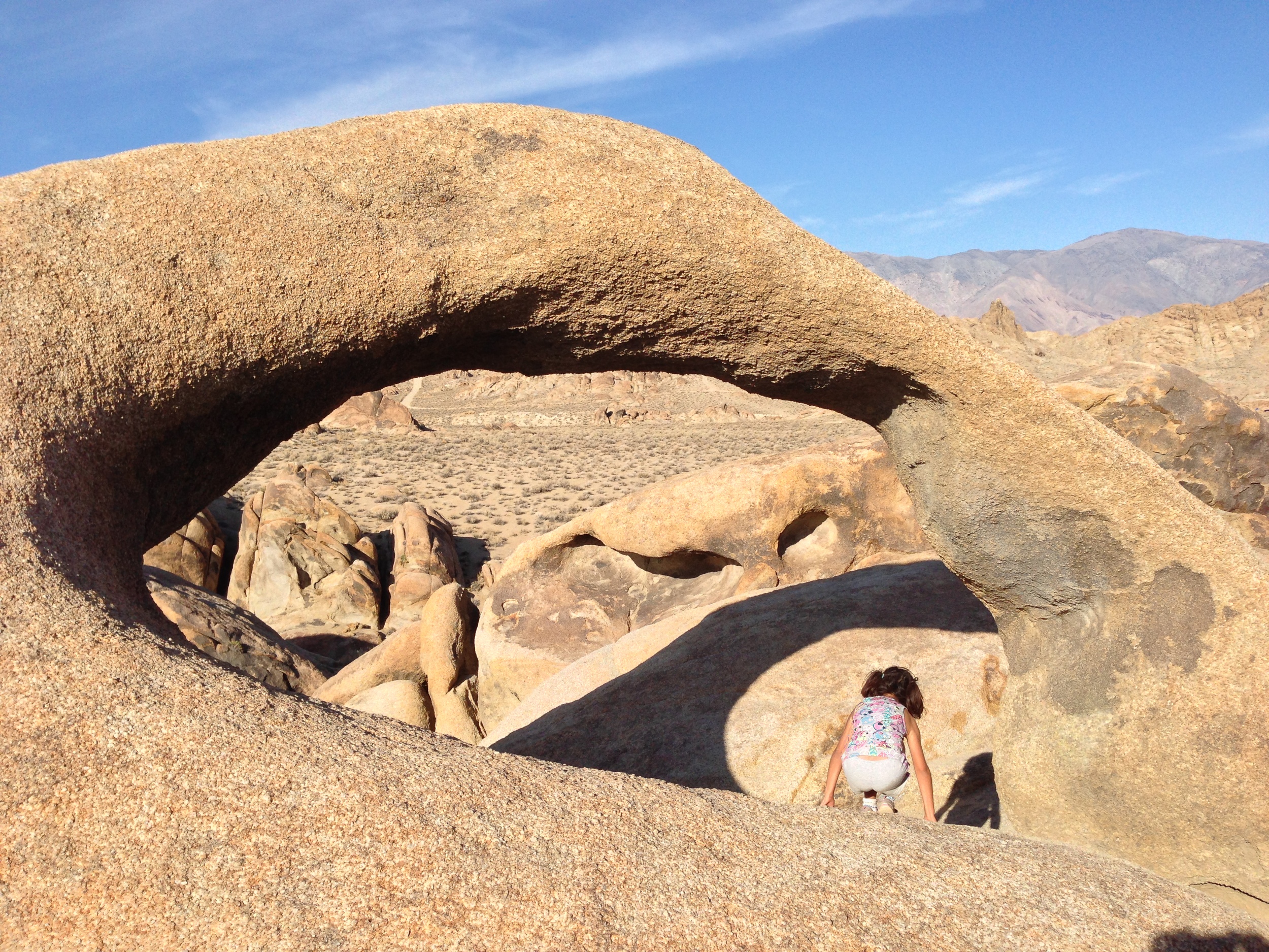
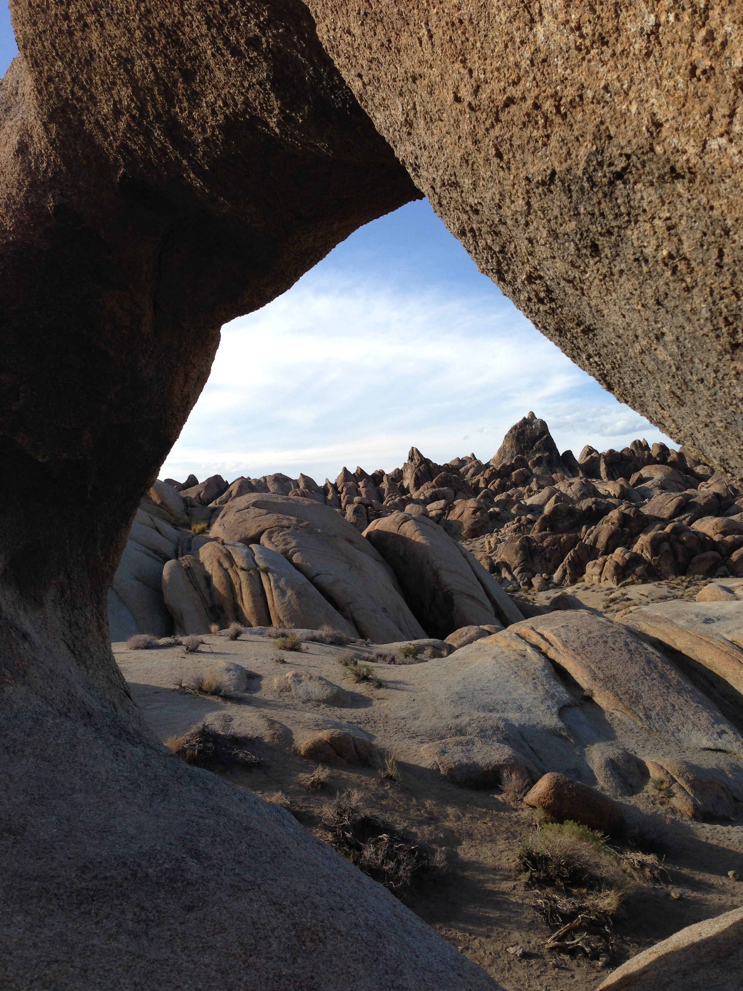
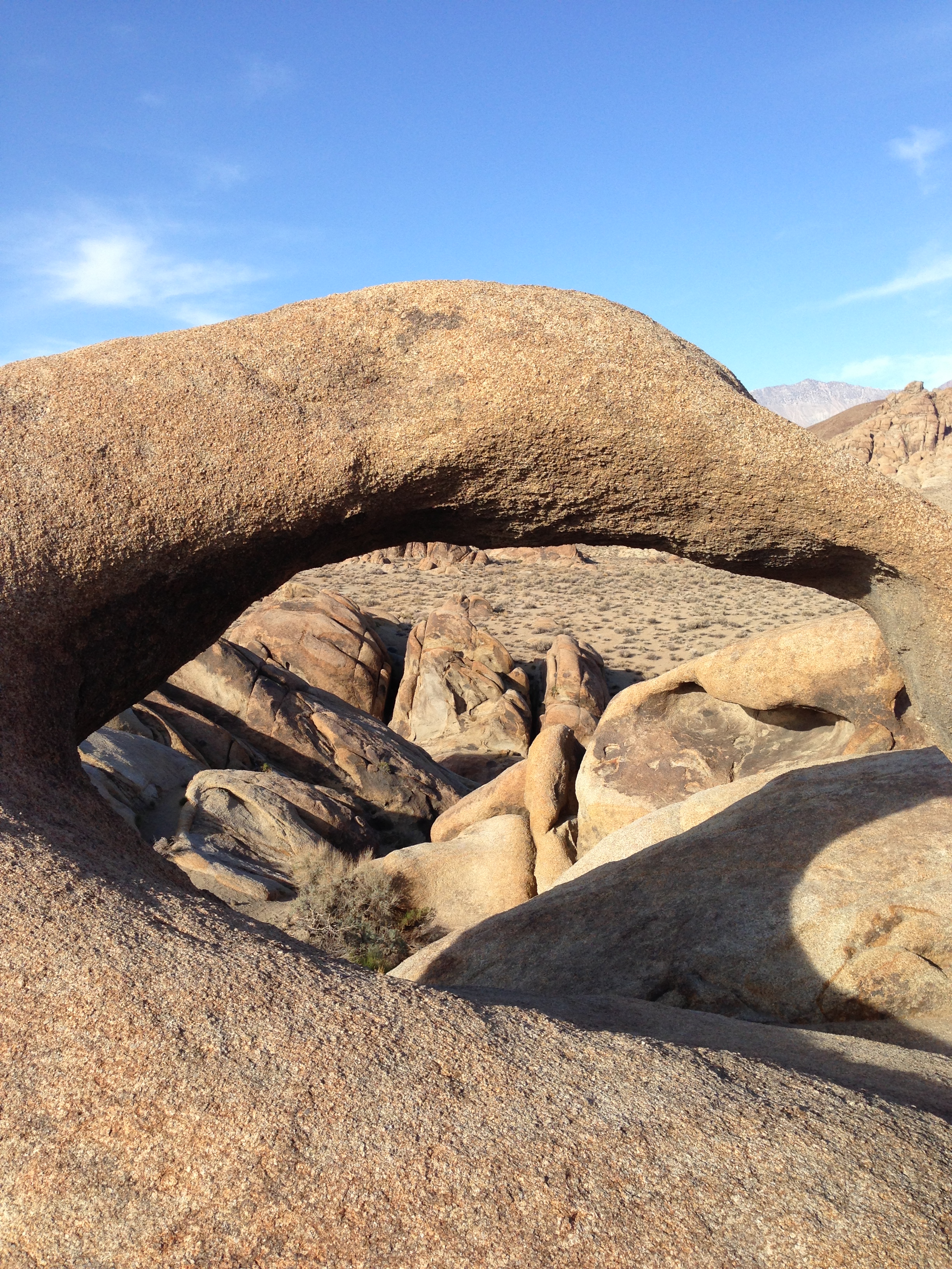
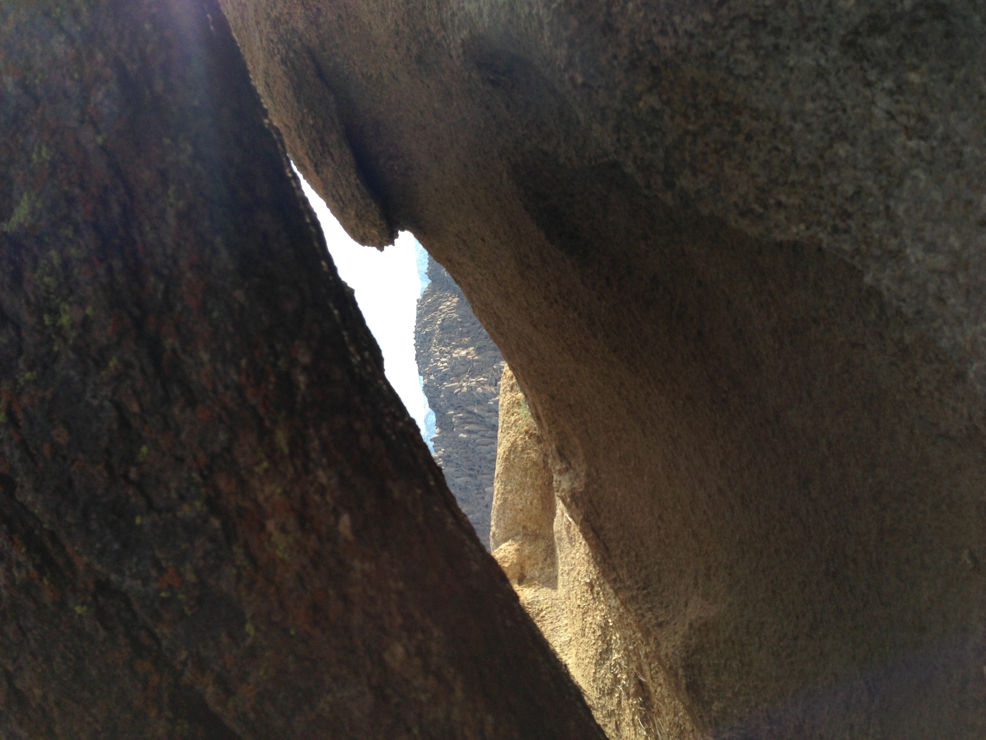
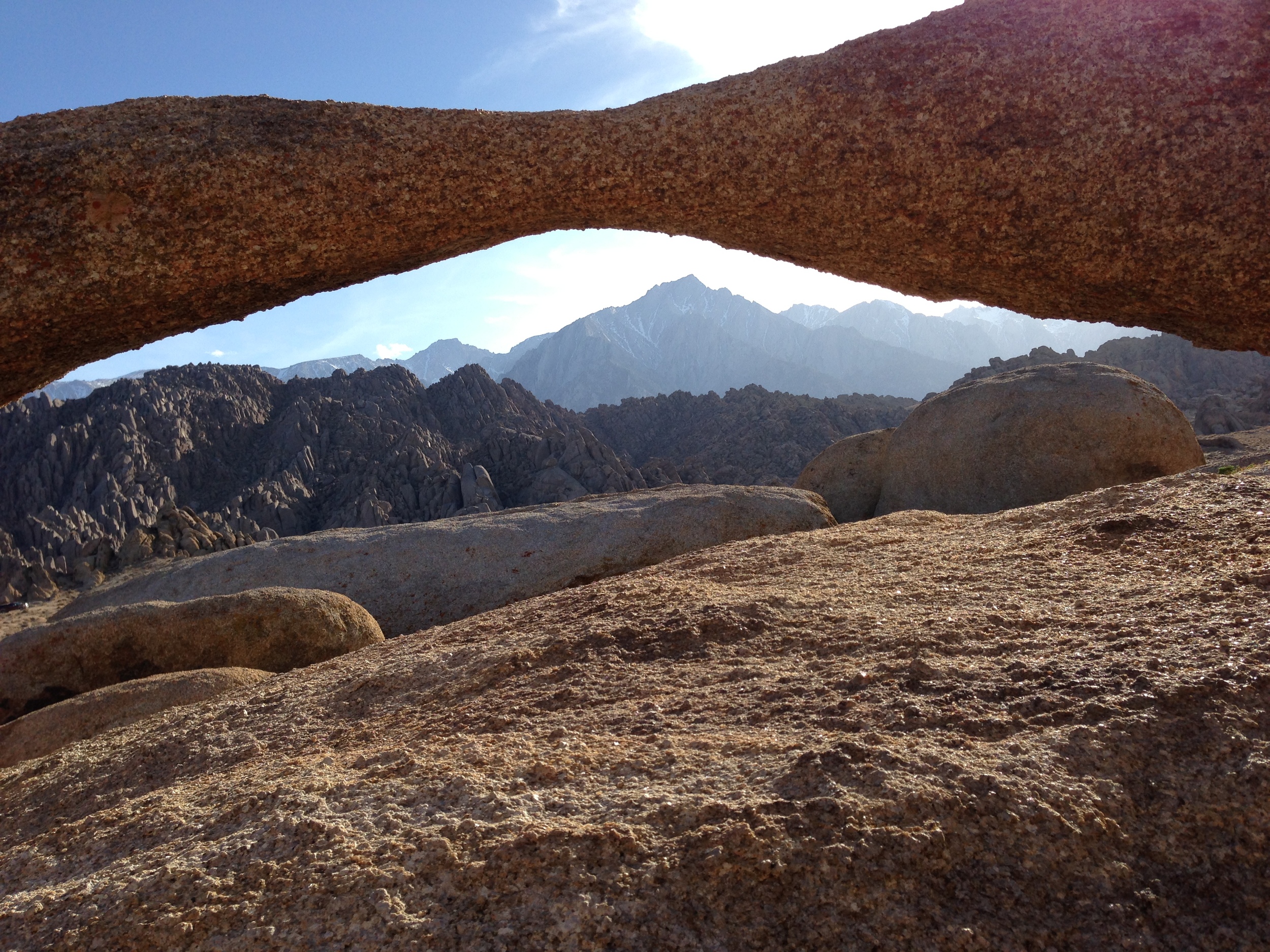
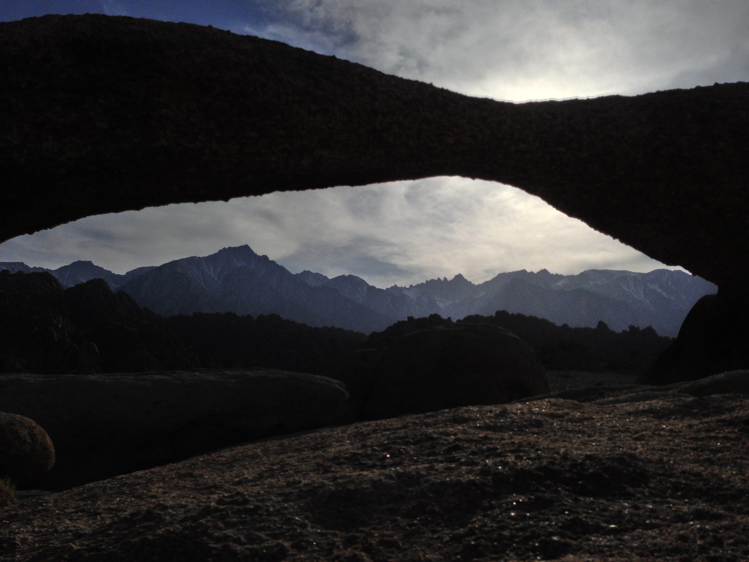
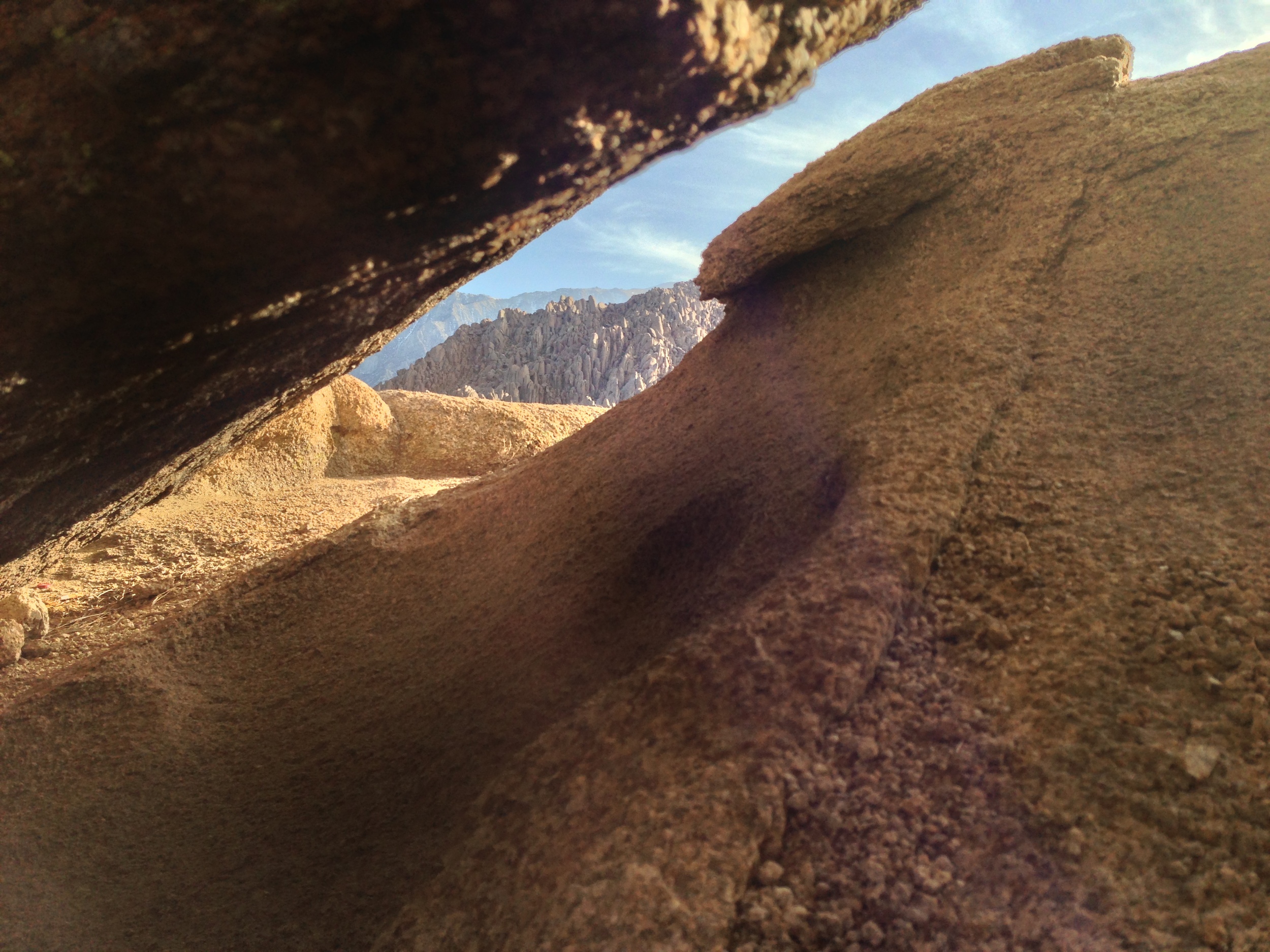
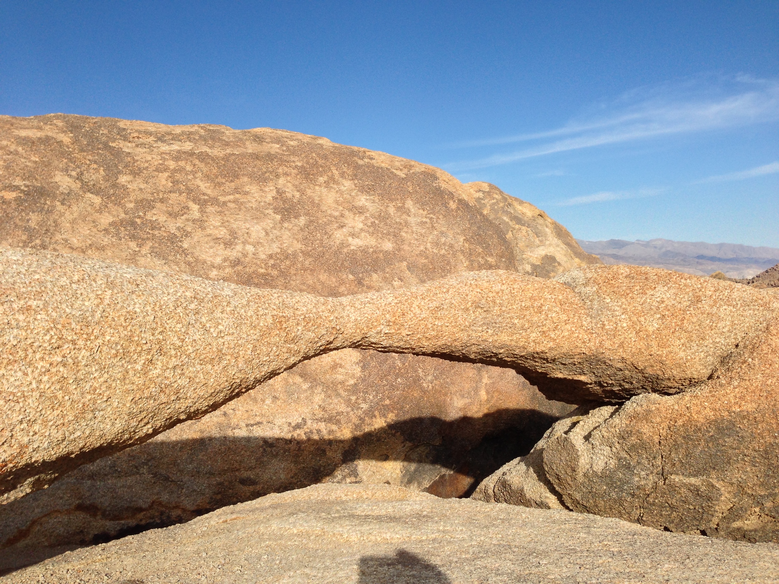
2) The Lathe Arch. This arch is located immediately to the West of the Mobius Arch, although it is much smaller arch than its larger friend. In order to get to it, you’re going to follow the directions listed above for the Mobius Arch. Like the Mobius Arch, the Lathe Arch has some great photography opportunities, and has a great view. However, as I said above, the Alabama Hills do have many of these eroded features, so if you’re looking for an arch, hole, or other angle that has not been photographed by many people, get out there, and find your own. I guarantee there are plenty of spots that have yet to be discovered.

3) The Self Guided Movie Road Tour. Did I mention something about movies at the beginning? Yep, I totally did. While the Alabama Hills always had “Movie Road”, some of the features and their attendant movies and TV shows were a little harder to find. While you could always speak to some of the locals in Lone Pine about where to go, now the BLM has a handy board in the Alabama Hills marking locations, and it also has a handy printout here online of how to proceed and where to go.

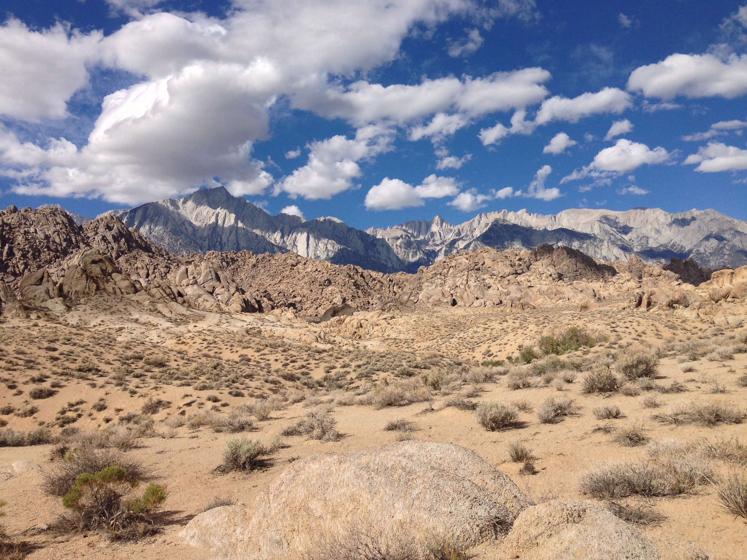
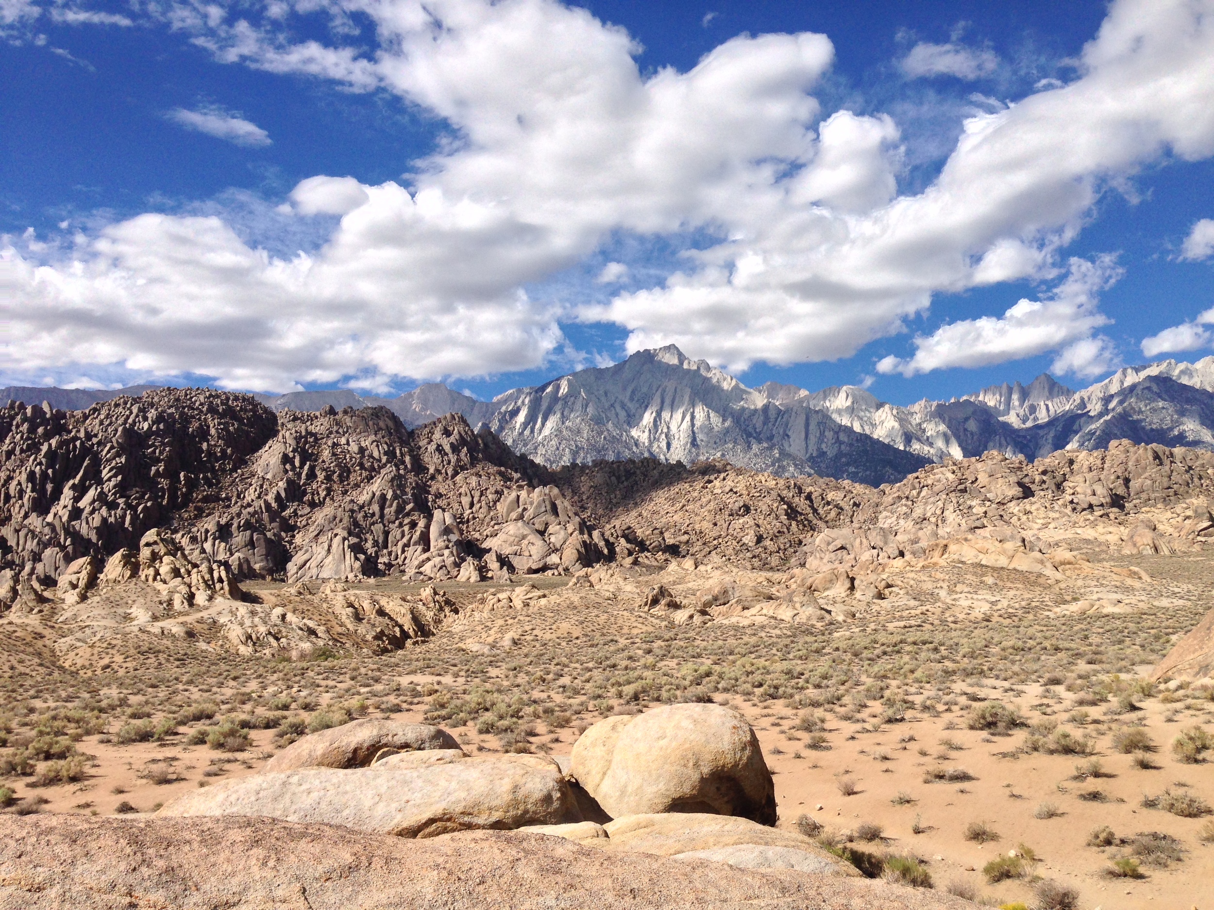
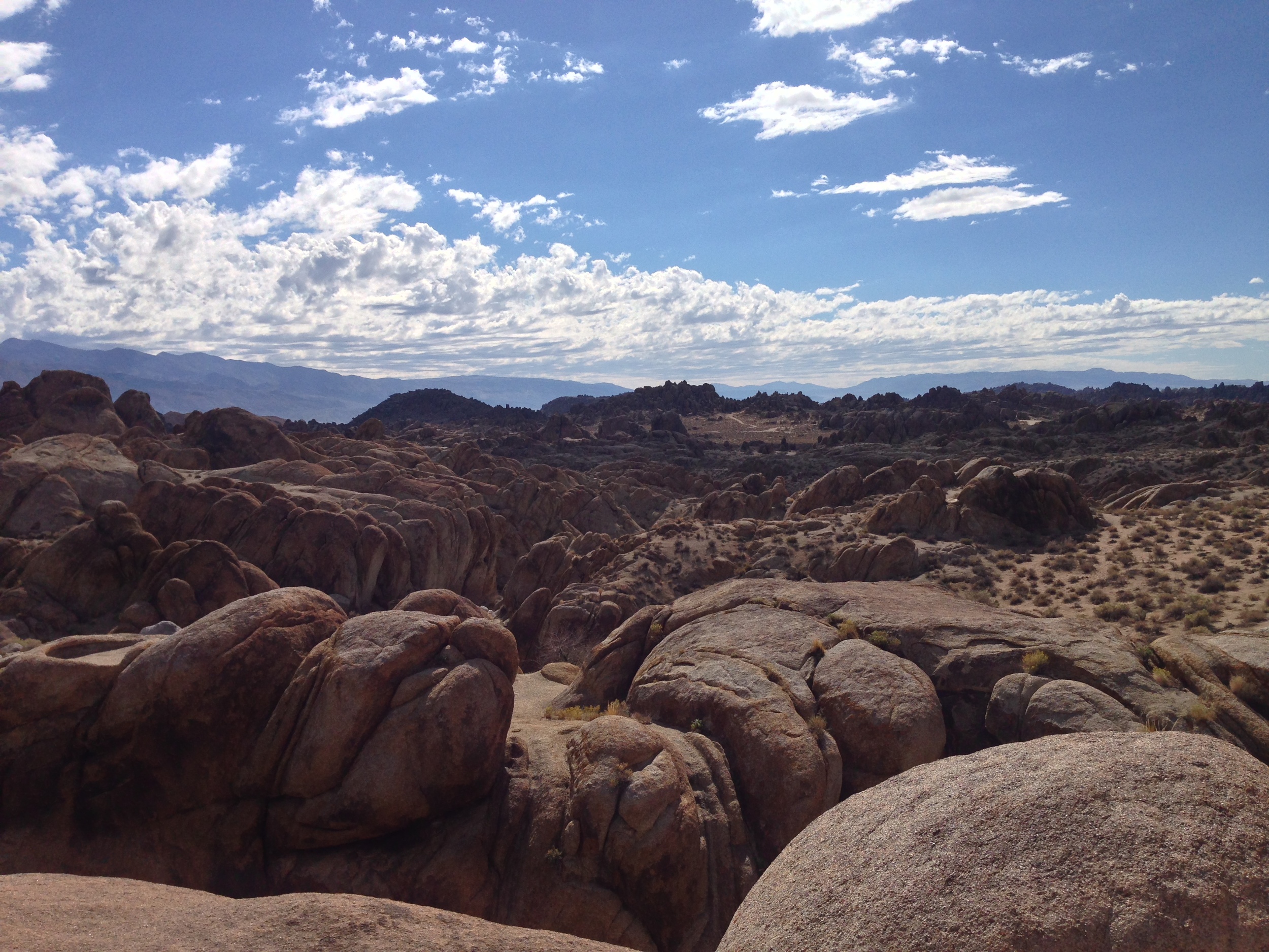
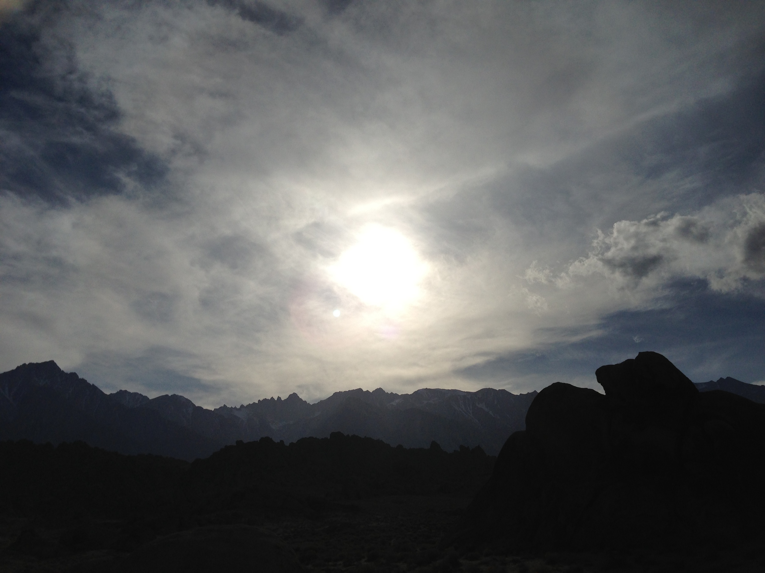
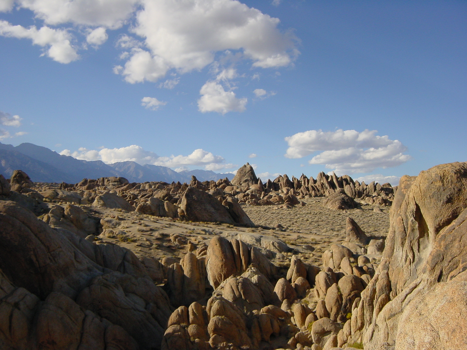
4) General Exploration. As I’ve mentioned frequently, the area is fairly open, and there is plenty to do, from looking for old mines, to fishing in certain spots, and just general camping, hiking, bouldering and photography. One word of caution: beware the Lone Pine Devil. Other than that, have a great time!

Interested in what other people think of the Alabama Hills? Check out my friend Paulina's thoughts here!

Lathe Arch

Lathe Arch

The Alabama Hills - Does the Lone Pine Devil truly live here?

The Alabama Hills - Does the Lone Pine Devil truly live here?

Rainbow Falls

Rainbow Falls

I recently made it out to the Devils Postpile, and here’s what I have to report: it is indeed something you need to see. My former boss was right: this is an area that is remote and lesser known than its bigger cousin, Yosemite. I say “lesser known” because I am well aware that it is directly outside of Mammoth. This is not something that should dissuade you from visiting: even though it is directly outside of Mammoth, it is still tucked away in its own corner of the Eastern Sierra. Also, in this case, being tucked away next to Mammoth is a good thing: there are well signed parking areas for the park from which you will take a shuttle into the park during the summer months. While Devils Postpile is named for the amazing geologic feature of the park – the columnar basalt “piles” that formed over one hundred thousand years ago from cooling lava, and the basalt is amazing to see, I think the best day hike in the park is the hike to Rainbow Falls.