California

Bodie State Historic Park

Bodie State Historic Park

There are ghost towns where only the crumbling remnants of overgrown foundations remain; there are ghost towns where a few dilapidated buildings remain; and then there is Bodie, California – an entire town lost to the passage of time in the mountains of California.

South Tufa, Mono Lake

South Tufa, Mono Lake

Mono Lake is one of the locations in the Eastern Sierra that is well known and it should be, because it's existed for over one million years. Today, the lake is located just outside the town of Lee Vining, California, and is easily accessible from Highway 395. Mono Lake is unique for innumerable reasons - it is 2.5 times as salty as the Pacific Ocean; it is home to the Mono Lake Brine Shrimp; it provides a needed spot for migratory birds, and it has a rich place in geologic and human history. Despite all of these amazing things, the main attraction at Mono Lake are and has been its tufas. A tufa is an otherwordly looking phantasmagorical tower of rock. Specifically, tufa or tufas are limestone towers, formed by the precipitation of carbonate materials in water. In Mono Lake, underwater springs rich with calcium have come in contact with lakewater rich with carbonates for hundreds of thousands of years; and the end chemical reaction is the slow growth of these limestone towers that only form underwater. Some of these tufa towers can grow up to thirty feet in height, which occurs over a great period of time. While the tufas have existed for quite a bit of time, they weren't as visible to the public until some of the water in Mono Lake was diverted in 1941. Today, the tufas in the lake are quite visible, especially after three years of drought in California. 

State of California’s Mountain Snowpack 2014

Bad. That is the state of California’s mountain snowpack as of today, January 20, 2014. In fact, bad probably is an understatement. A more accurate descriptor might be “awful” or “horrible”. You may think I’m exaggerating – but I’m not. One of the things that’s been lost in the winter of 2013-2014 among “polar vortexes” and wind chill is the simple fact that in California, winter has ceased to exist. While California has always popularly been known as the land of Endless Summer, it used to have seasons. While our seasons were milder than say, Pennsylvania, the state did have them – but not this year. In cases like this, I find a picture is worth a thousand words. If you look down, you’ll see the picture that Governor Brown featured in his press conference from the National Oceanographic and Atmospheric Institution regarding the conditions from 2013 to 2014.

california_drought_2013-14-noaa.jpg

On the left, you can see the snowpack as it was in 2013 – a drought year, but a more “normal” year than 2014. On the right, you can see the snowpack as it stands now. Again, keep in mind that California is a state that should have winter. California is also a state that should most definitely have snow above 8,000 feet during the winter months – and yet it does not this year. In Yosemite, the Badger Pass ski area is closed, because there is not enough snow. On Mt. Shasta, rescue crews had to aid two climbers on one of the more popular routes of the mountain, because, among other things, the route did not have enough snow. And, on Mt. San Jacinto, there is no snow at all.

Western Sierra Nevada Mountain Range from Mt. Whitney, June 2011

The cause of the worst winter in recorded history since 1890 is a “blocking high” – a high pressure dome which diverts storms from the state during the state’s wettest months.  But this blocking high is part of a larger problem in California, which is a persistent multi-year drought. As a mountaineer, I’ve observed the climate change over the last five years in our tallest spots. I’ve watched the glaciers recede on Mount Shasta over a ten year period.

Western Sierra Nevada Mountain Range from Mt. Whitney, May 2012

I’ve also watched the Sierras progressively receive less and less snow during the recent years. In 2010, I climbed Mt. Whitney on the summer solstice under bluebird conditions with snow and ice. In 2011, I climbed Mt. Whitney a week earlier, only to find that it has less snow than 2010. In 2012, I again climbed Mt. Whitney a week earlier – to find that it had no snow. In 2013, when I went to Mt. Whitney in mid-April, most of the snow was melting off. This year, the mountain by and large has little to no snow. Think about that for a second: the highest point in the continental United States has little to no snow in wintertime.

I could provide even more examples, and in some cases, even more pictures of what I’ve seen in California’s mountains over the last ten to fifteen years, but there’s no point in providing them here. Either I’ve convinced you – or you were already convinced that climate change is occurring; or either I’ve not convinced you – and you never were convinced that such a thing exists. For me, I am convinced – and I have been convinced for a long time, based on what I’ve seen that the climate is changing. If you don’t agree with me, I will paraphrase Voltaire and state that I agree with your right to disagree. What I will also say is this: even if you don’t believe in climate change, it’s already affecting you – especially if you live in California, from water use regulations, to wilderness use regulations, and expanded and unprecedented wildfire seasons and durations. (More info on the drought here, here, and here).

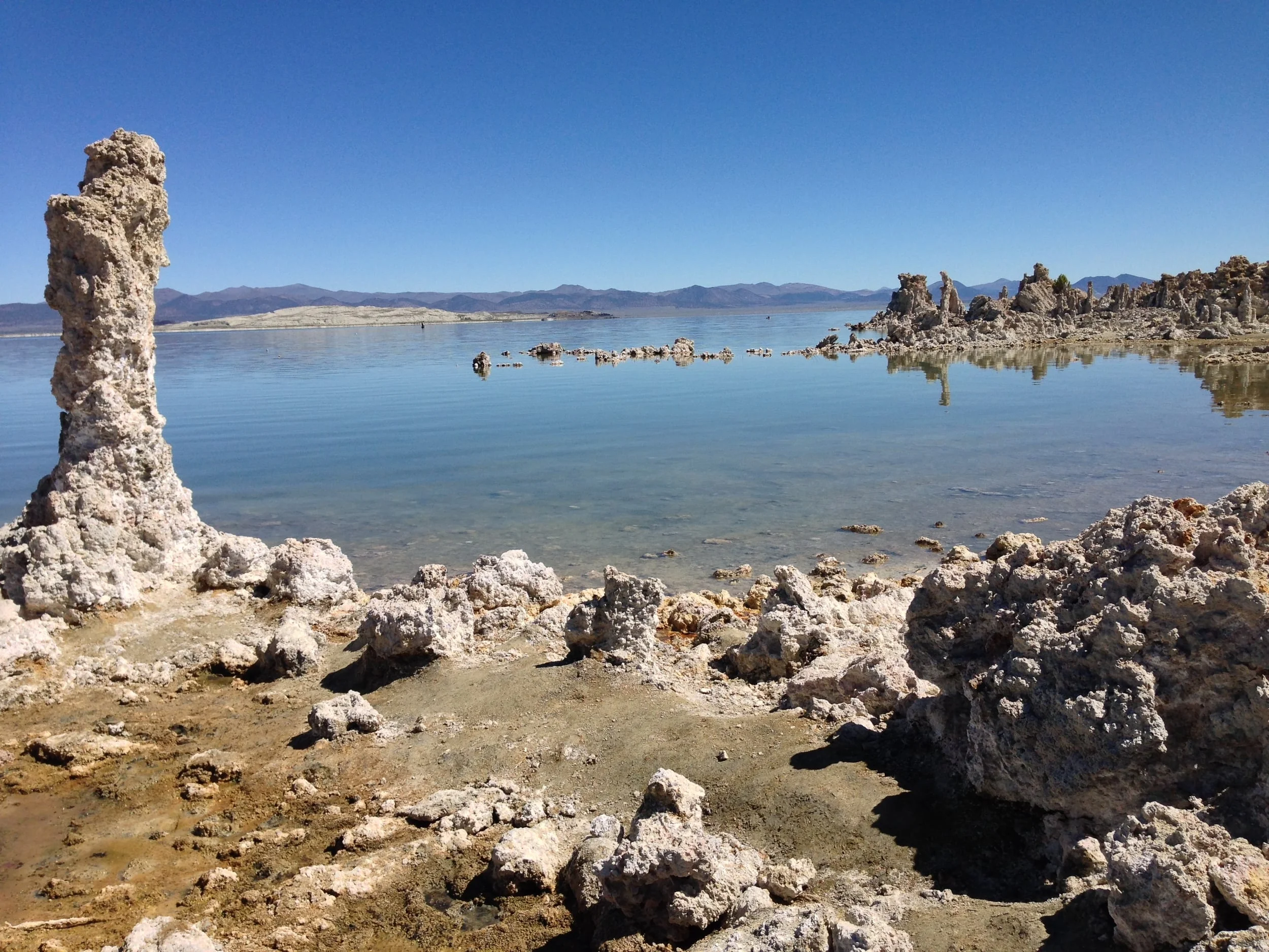
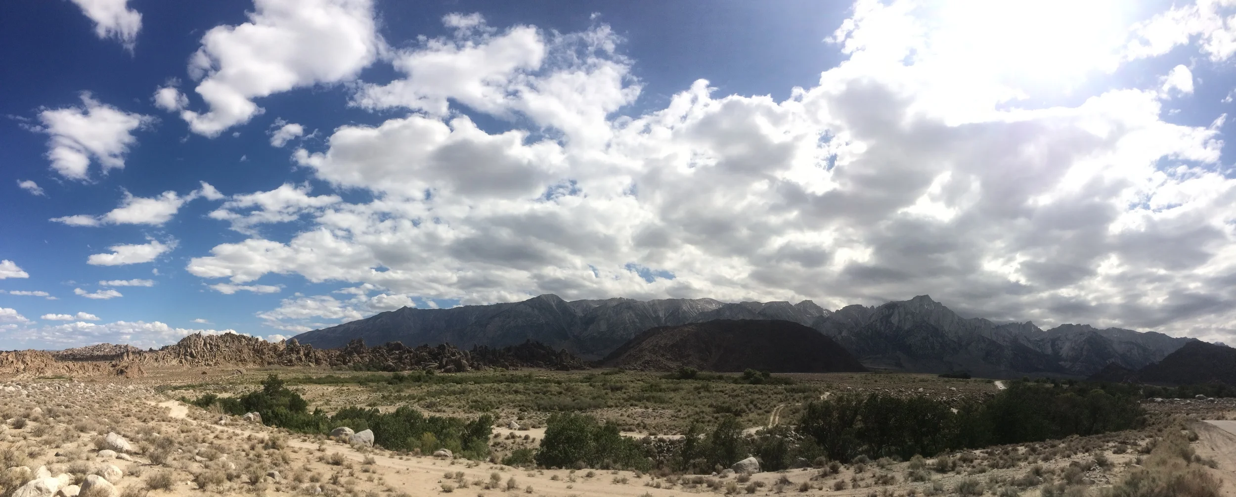
As for what the future holds, no one – including myself knows. But what is clear in the present is that 2014 will likely be one of the worst – if not the worst mountaineering season in terms of winter conditions. In most areas, climbers will not need ice axes or crampons. What climbers will need, however, is good real time knowledge of conditions as they are now, not as they have been for years. This is something I discussed with @thepeakseeker and @mikburtula on the last episode of IIAWT, and it is something that all potential climbers should be aware of; especially on such iconic routes as the Mountaineer’s Route on Mt. Whitney, or the Avalanche Gulch route on Mt. Shasta, because it is clear that without fresh or new snow, these routes, along with others, may be impassable. In such times of drought and change, more than ever the axiom “be prepared” is and will be particularly applicable; and until it happens, let us all pray for snow, because winter is more than overdue. 

And, If you're scientifically inclined, you can check out the day to day water reports from DWR here. 

Fossil Falls

Fossil Falls

What is Fossil Falls: It is an area with unique geologic features. The area was part of the Coso Volcanic Range, which was an active volcanic area thousands of years ago.  Some of the remnants of this volcanic activity can be seen in the form of a cinder cone, Red Hill, which is next to Fossil Falls. The other remnants of this volcanic activity are the “falls” themselves, which is a large area of basalt (hardened lava). This large sheet of basalt blocked portions of ancient Owens River, and probably portions of the Owens Lake. The significance of this is that during the last ice age, water from receding glaciers (and the river and lake) flowed over this basalt, smoothing it, eroding it, and forming the canyons and holes that remain today over a period of thousands of years. Today, what remains is smooth basalt that has eroded into a distinctive geologic area. (For more information click here and here).