South Fortuna Mountain

North Fortuna Mountain

North Fortuna Mountain

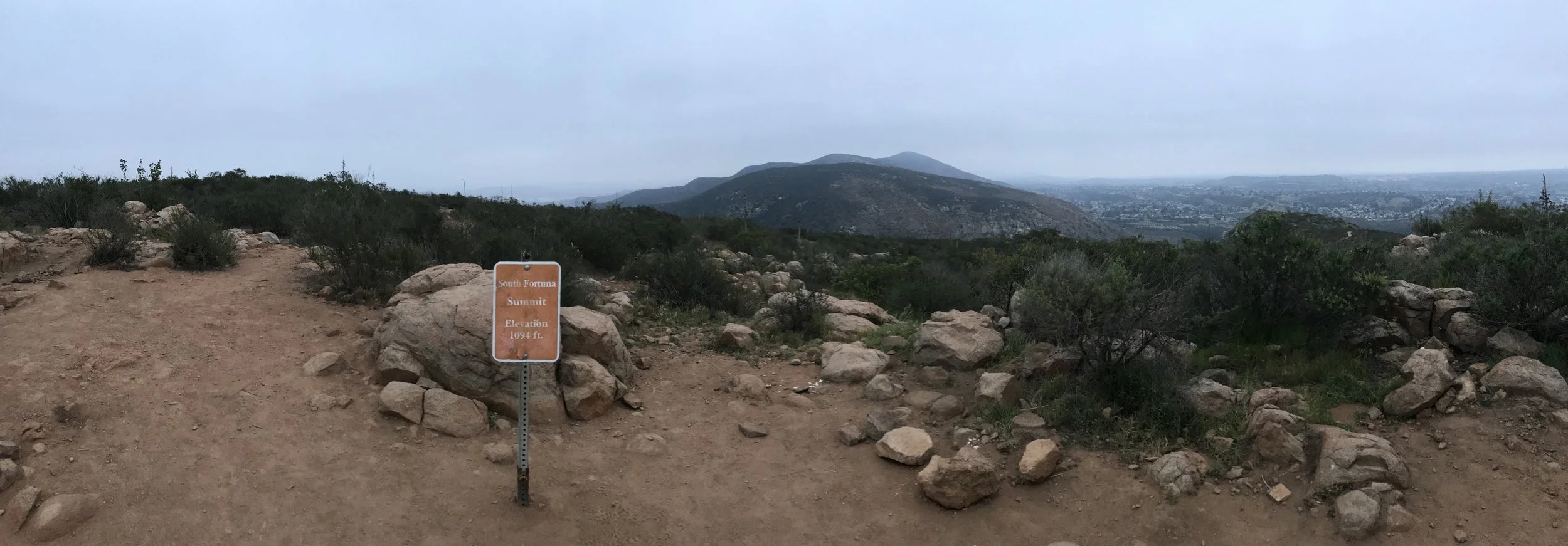
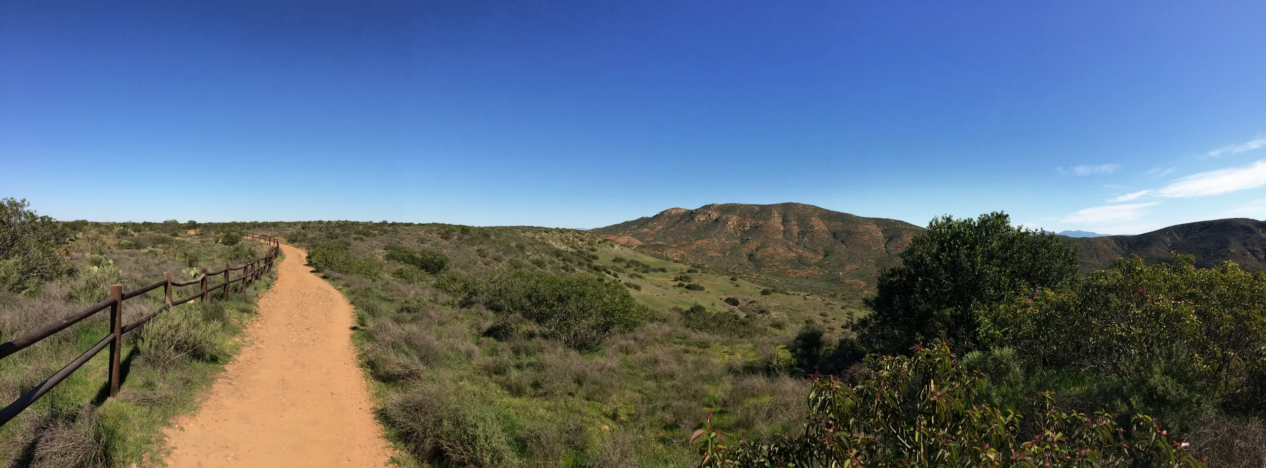
At 1,291 feet high, North Fortuna Mountain is the third highest mountain in the confines of Mission Trail Regional Park and is 197 feet higher than its neighbor, South Fortuna Mountain. In my mind, however, out of all of the five mountains in the park, North Fortuna Mountain features the toughest leg burning ascent. Like many things, this is something that is open to debate. While both Cowles Mountain and Pyles Peak for the most part do not feature tough straight uphill sections, both South Fortuna and Kwaay Paay Peak have solid claims to the toughest leg burning ascents as well. Even with the toughest - or near toughest leg burning ascent, North Fortuna Mountain is a great hike as it provides great views, and is part of the Five Peak Challenge within Mission Trails.

South Fortuna Mountain

South Fortuna Mountain

Mission Trails Regional Park is an area that is rich in pre-European history from the Kumeyaay people, and an area that is rich in post-European history with the Old Mission Dam along with the remnants of Camp Eliott. Within the confines of its 7,220 acres are five mountains, which comprise a hiking challenge for adventurous locals and visitors alike. However, a little known historic fact is that the park actually has four - not five mountains. Earlier maps of the region called both South Fortuna Mountain and North Fortuna Mountain simply “Long Peak”. Even today, from a distance, the separate summits of South Fortuna (1,094 feet elevation) and North Fortuna (1,291 feet elevation) separated by the Fortuna saddle appear to be one mass with a number of humps. Despite visual appearances and former maps, even though South Fortuna is the smallest summit in the park, it can be a great strenuous day hike, as part of a larger trek, or as a stand-alone summit.

Five Peak Challenge

Five Peak Challenge

Over the last thirty years as hiking, backpacking, climbing, trail-running, and other outdoor activities have become more and more popular, the number of races, challenges, and other activities that package elements from more than one trail have also increased. Some of these challenges have set days, like the Phoenix 7 Summit Challenge; and some of these challenges can last over the course of a year, like my friend Jeff Hester’s Six Pack of Peaks challenge. And, as of November 7, 2015, Mission Trails Regional Park inaugurated San Diego’s own trail challenge, the 5-Peak Challenge, which can be completed in a day, or over the course of a year.

Clairemont Mesa Trailhead to Shepherd Pond

Clairemont Mesa Trailhead to Shepherd Pond

Mission Trails Regional Park (MTRP) is one of the best places to go hiking in the City of San Diego. Containing over 5,800 acres of open space, it is the largest city park in the State of California; and the seventh largest city park in the United States. Among many things, it contains the historic Old Mission Dam; beginner and intermediate rock climbing routes; and Cowles Mountain. Mission Trails, however, is more than just the Dam and Cowles Mountain - it is an area with over forty miles of hiking trails. While most of the park's visitors concentrate on the Eastern portions of the park - Cowles Mountain, the Old Mission Dam, the Grasslands Loop, and Kwaaypay Peak, there is also plenty of great hiking on the western side of the park without the crowds. A great intermediate hike is the Clairemont Mesa to Shepherd Pond route, which provides excellent views of the interior of the park, and slightly different terrain than a standard San Diego hike.