Descending into Suycott Valley, North Fortuna Mountain, Mission Trails Regional Park
Mission Trails Regional Park (MTRP) is one of the best places to go hiking in the City of San Diego. Containing over 5,800 acres of open space, it is the largest city park in the State of California; and the seventh largest city park in the United States. Among many things, it contains the historic Old Mission Dam; beginner and intermediate rock climbing routes; and Cowles Mountain. Mission Trails, however, is more than just the Dam and Cowles Mountain - it is an area with over forty miles of hiking trails. While most of the park's visitors concentrate on the Eastern portions of the park - Cowles Mountain, the Old Mission Dam, the Oak Canyon, and Kwaay Paay Peak, there is also plenty of great hiking on the western side of the park without the crowds. A great intermediate hike is the Clairemont Mesa to Shepherd Pond route, which provides excellent views of the interior of the park, and slightly different terrain than a standard San Diego hike.
Directions: The trailhead for this hike is one of the western entrances of the park, in this case, the Clairemont Mesa entrance and trailhead. Other than the park's main entrance, this entrance is perhaps the easiest to find. Visitors attempting this hike merely need to proceed east on Clairemont Mesa Road to where it ends. The closest interstate exits for this point are Santo Road, off of Highway 52, which then intersects with Clairemont Mesa Road a mile to the South; or the Clairemont Mesa exit off of the I-15. From the Clairemont Mesa park entrance, visitors should proceed through the parking area to the large foot bridge that enters the park.
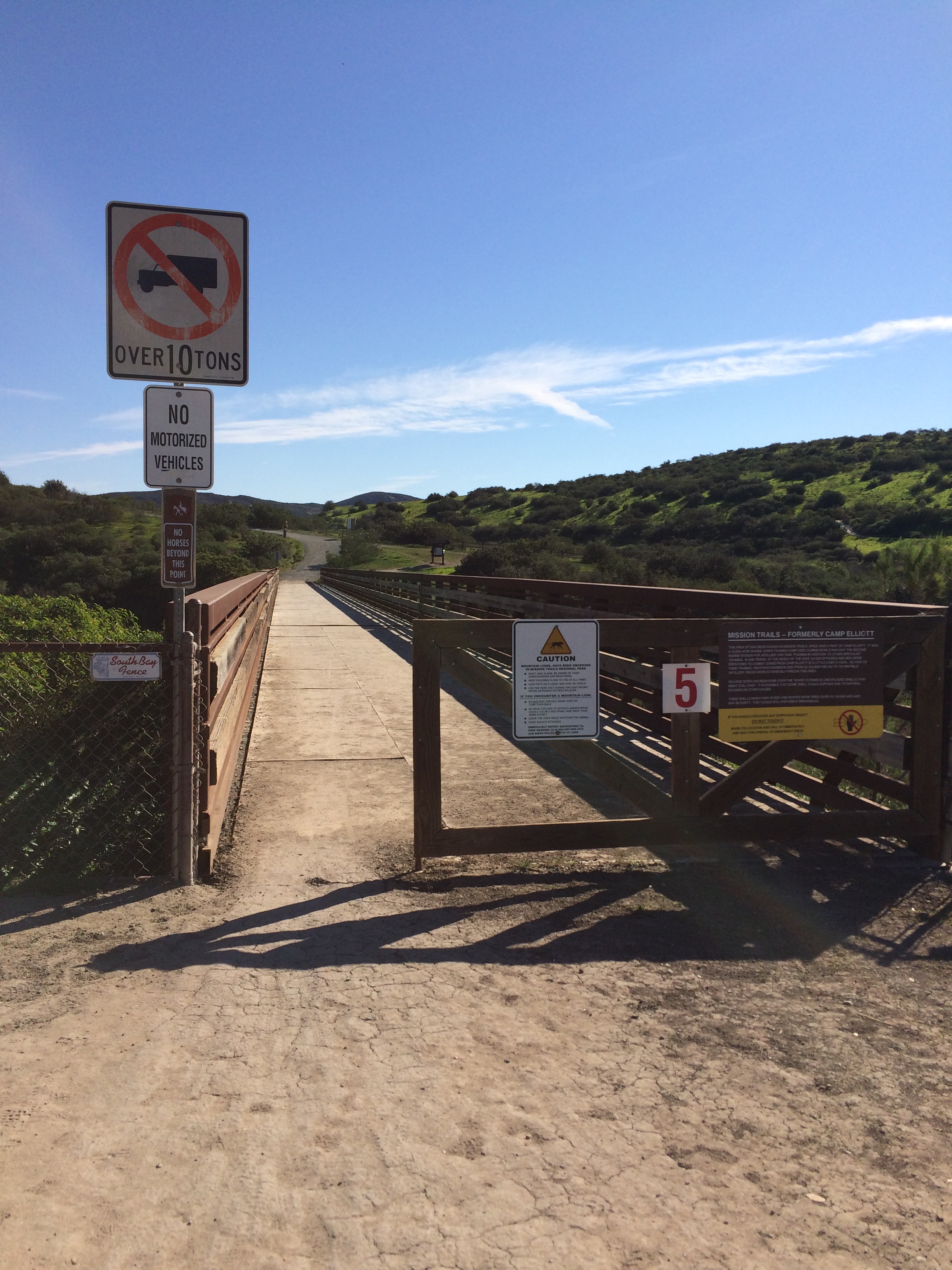
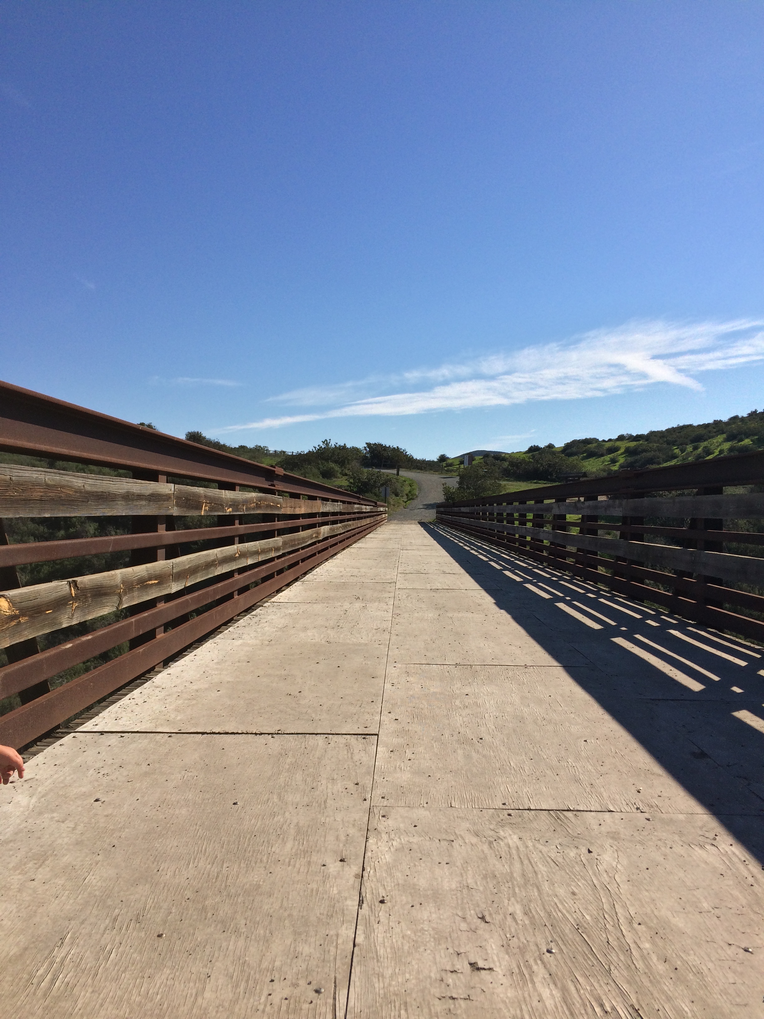
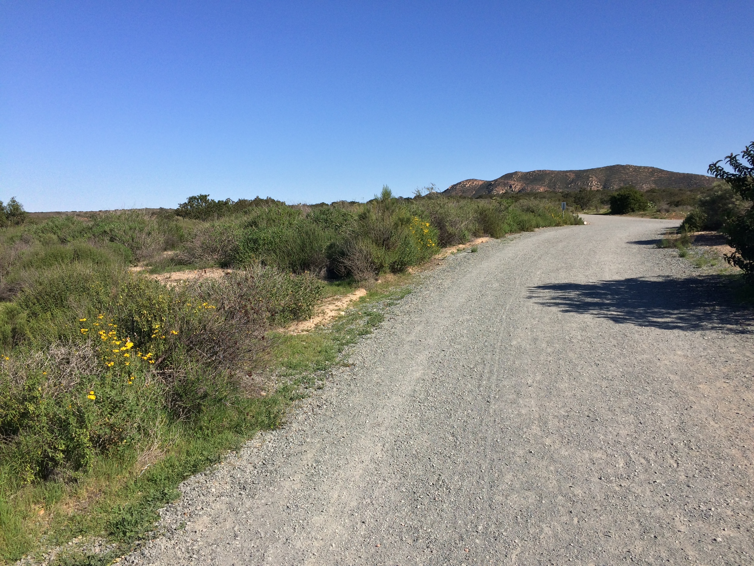
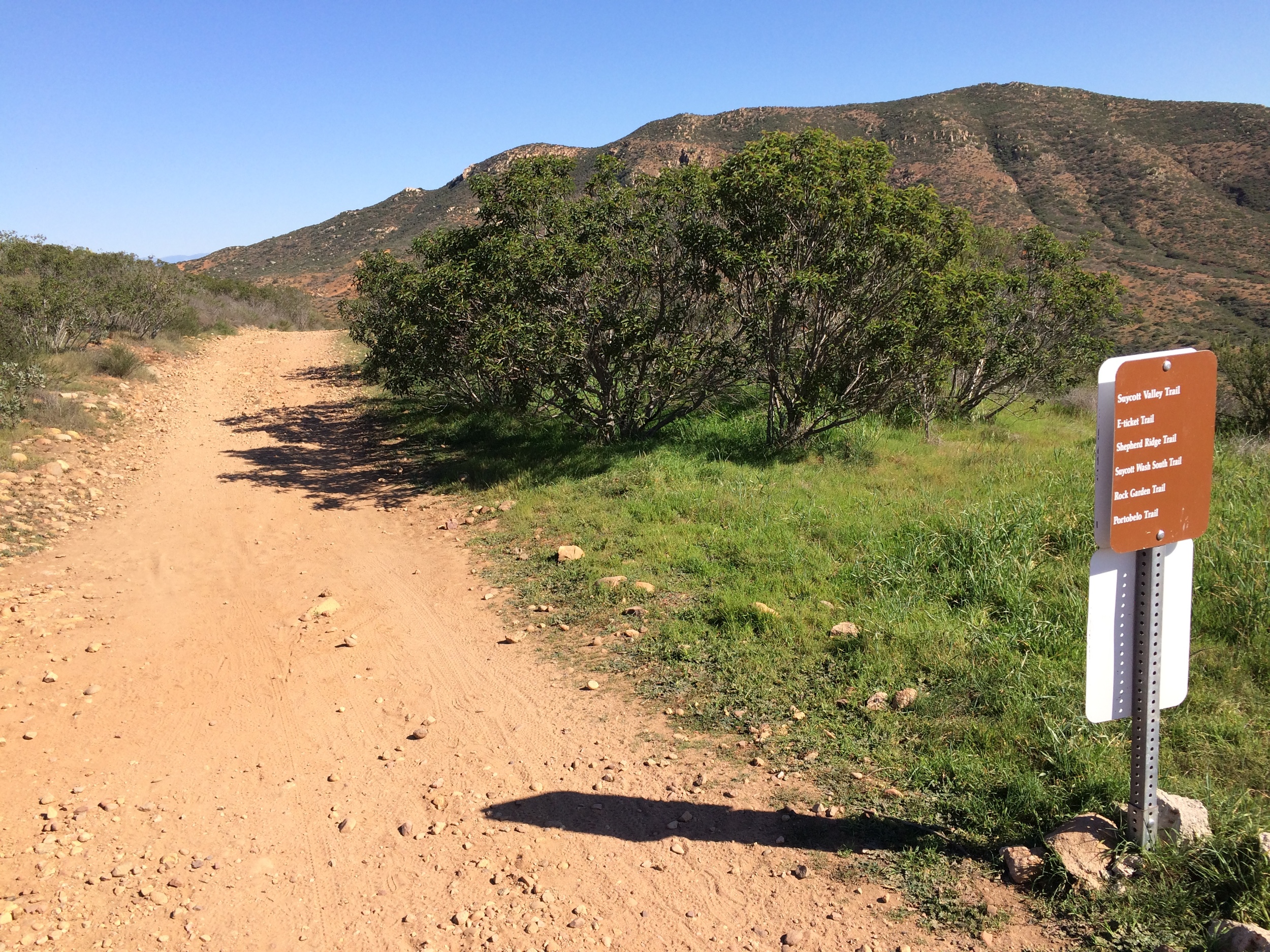
Once you are across the footbridge, you will be in Mission Trails, and from this point, there are a number of trails that do branch off in a number of directions. Fortunately, the trails in this area of the park - and in the park as a whole - are well signed. The sign for the Shepherd Pond Loop is to the immediate left (North) of the footbridge. Follow the trail up a slight hill, which provides great views of the Clairemont Mesa Entrance Bridge that you just crossed. Once you are at the top of the hill, the trail levels out to provide views across the a slight plateau, and you will be able to see large portions of the park to the North, East, and South, as well as great views of the surrounding county.
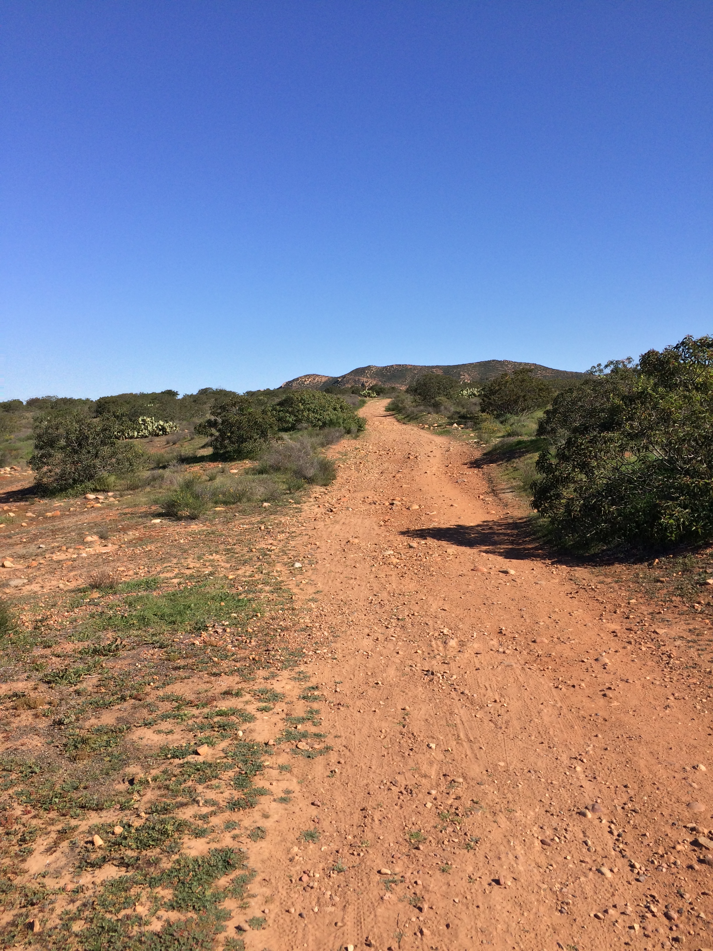
North Fortuna Mountain, as seen from the Rim Trail
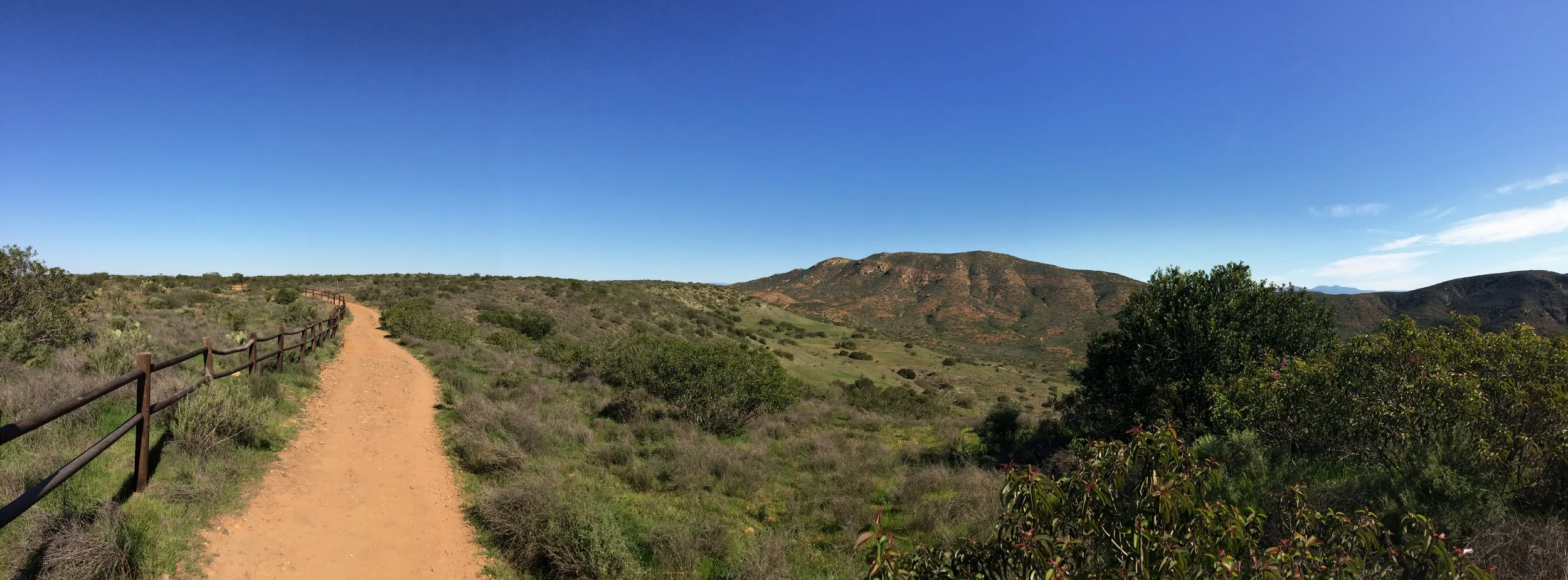
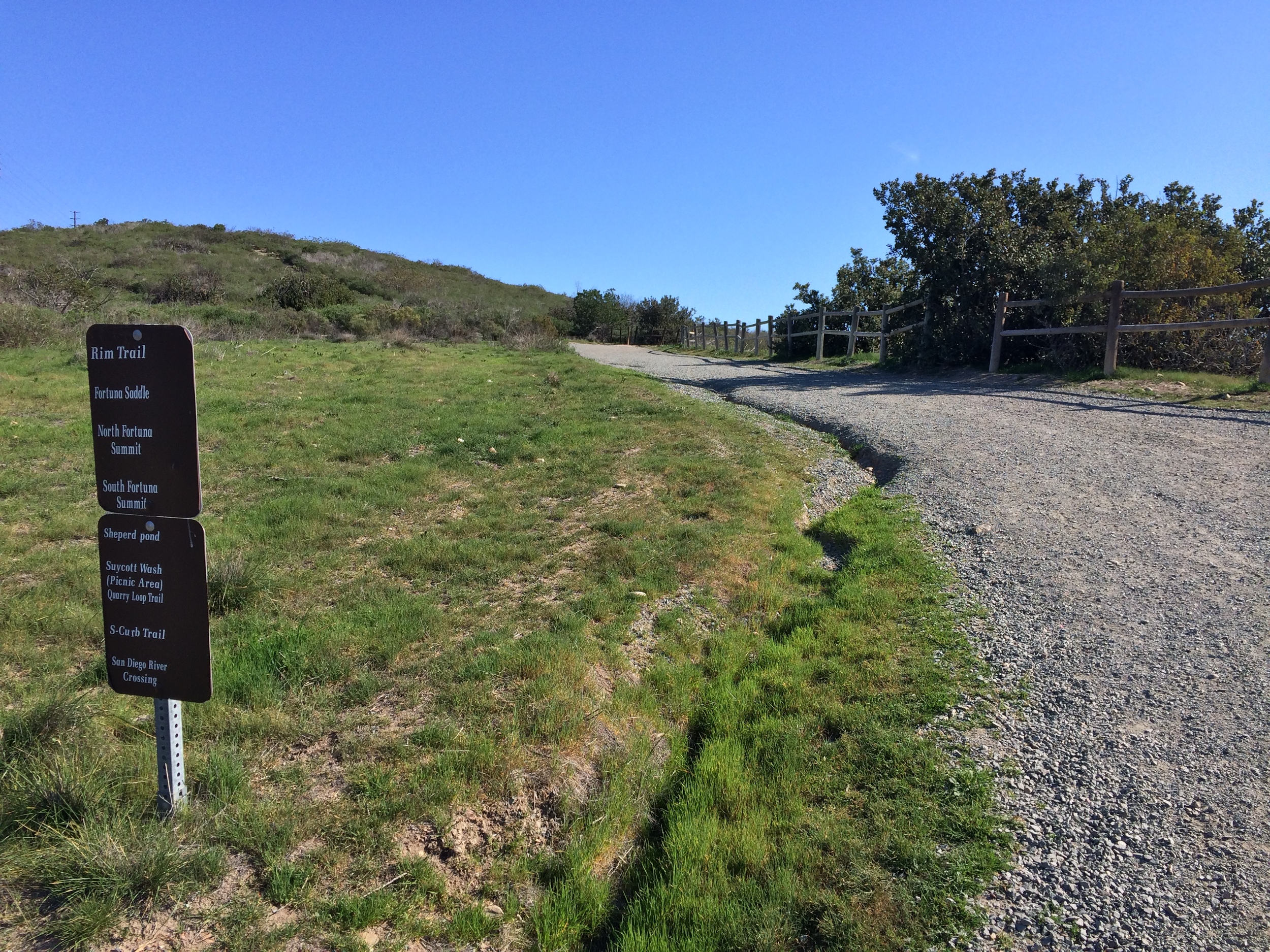
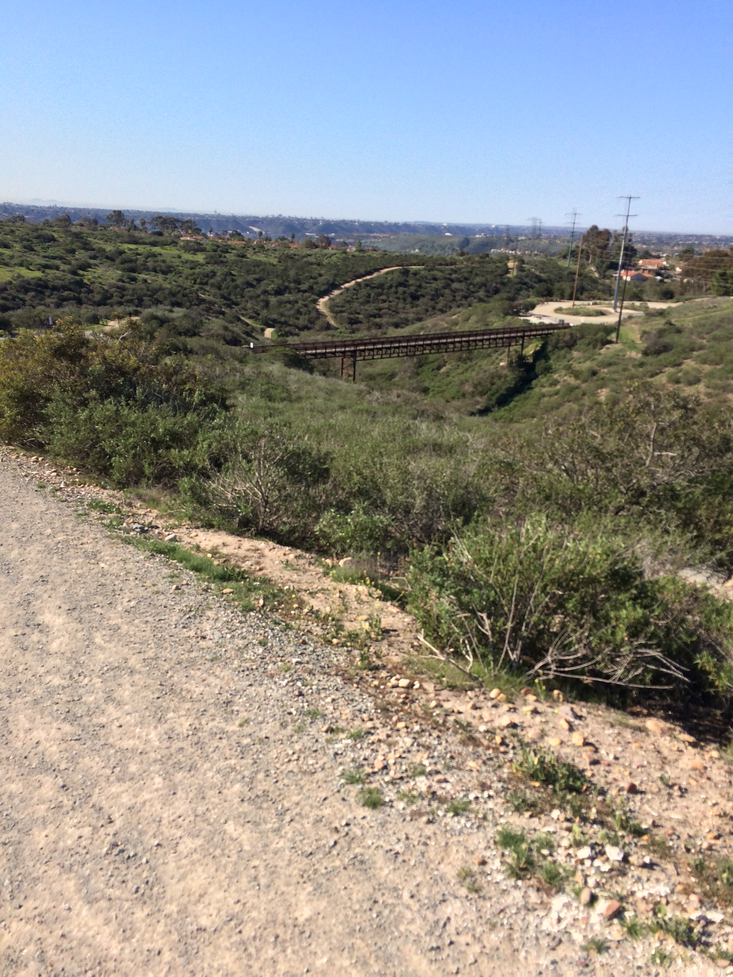
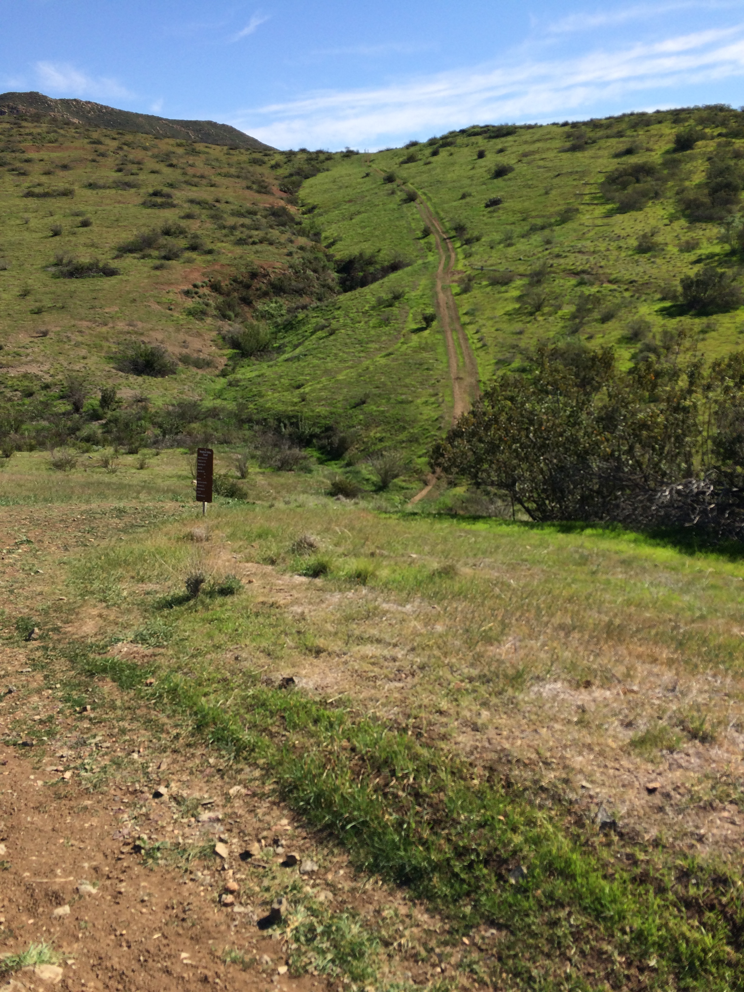
Continue along the trail as it crosses the plateau to the East. After a quarter mile, the trail intersects with a larger byway that heads North-South through the area. Cross this byway, and continue heading East along the trail (this area is also signed). After a tenth of a mile, this trail will intersect with another North-South spur trail along the Eastern edge of the plateau. Turn left (North), and continue along the plateau. At this point, you will be on the Rim Trail, and you will have great views of the Suycott Valley below; and of North and South Fortuna Mountain. Follow the Rim Trail North, and at the next junction, which splits West and Northeast, head Northeast (Right) downhill, into the Suycott Valley.
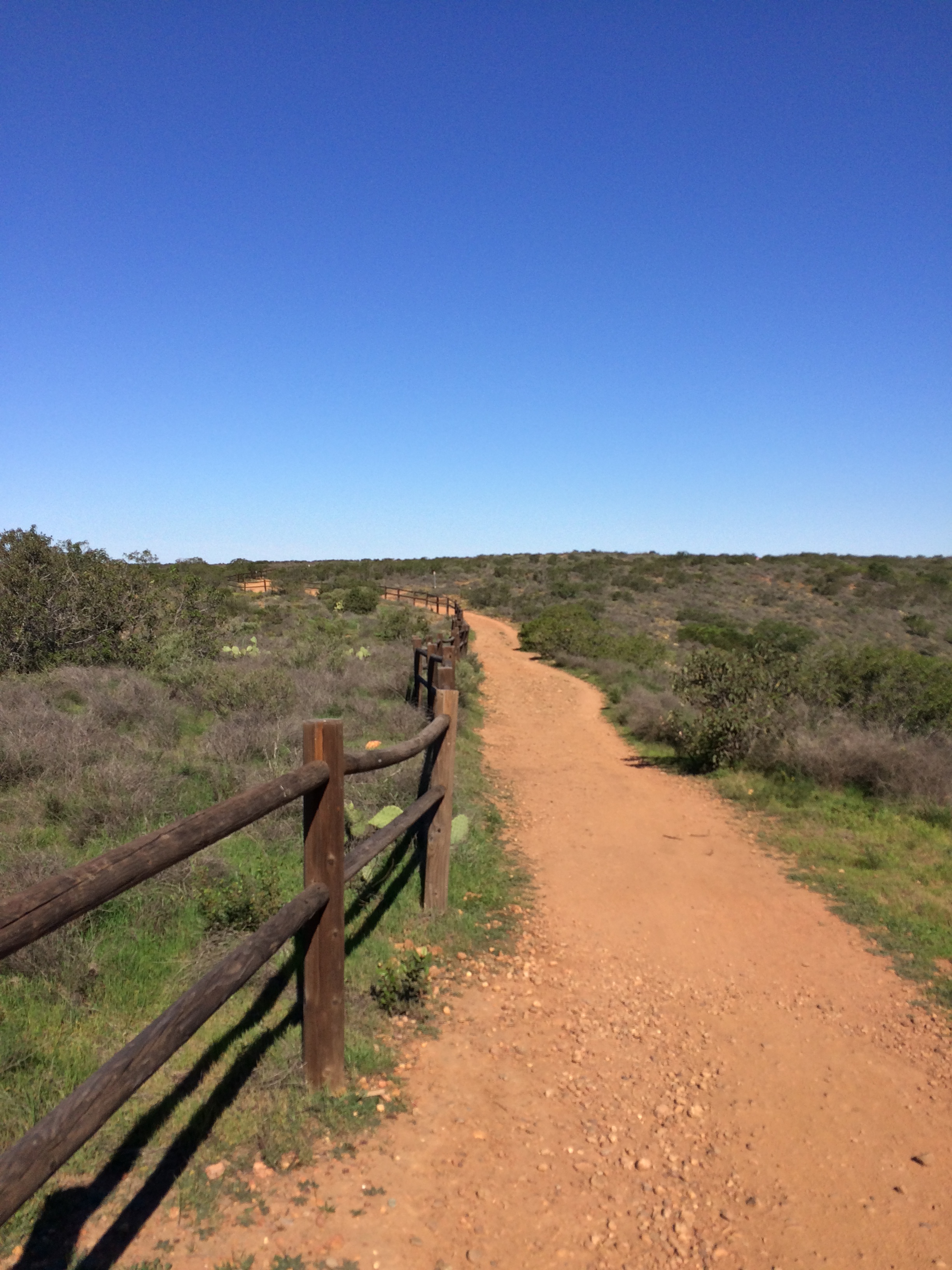
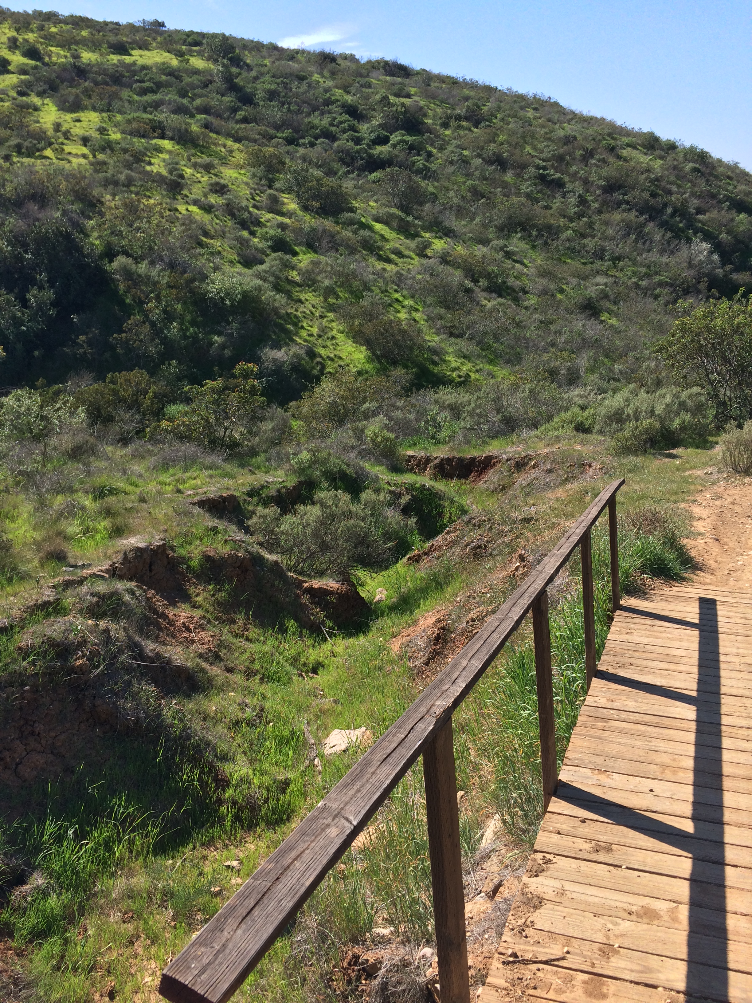
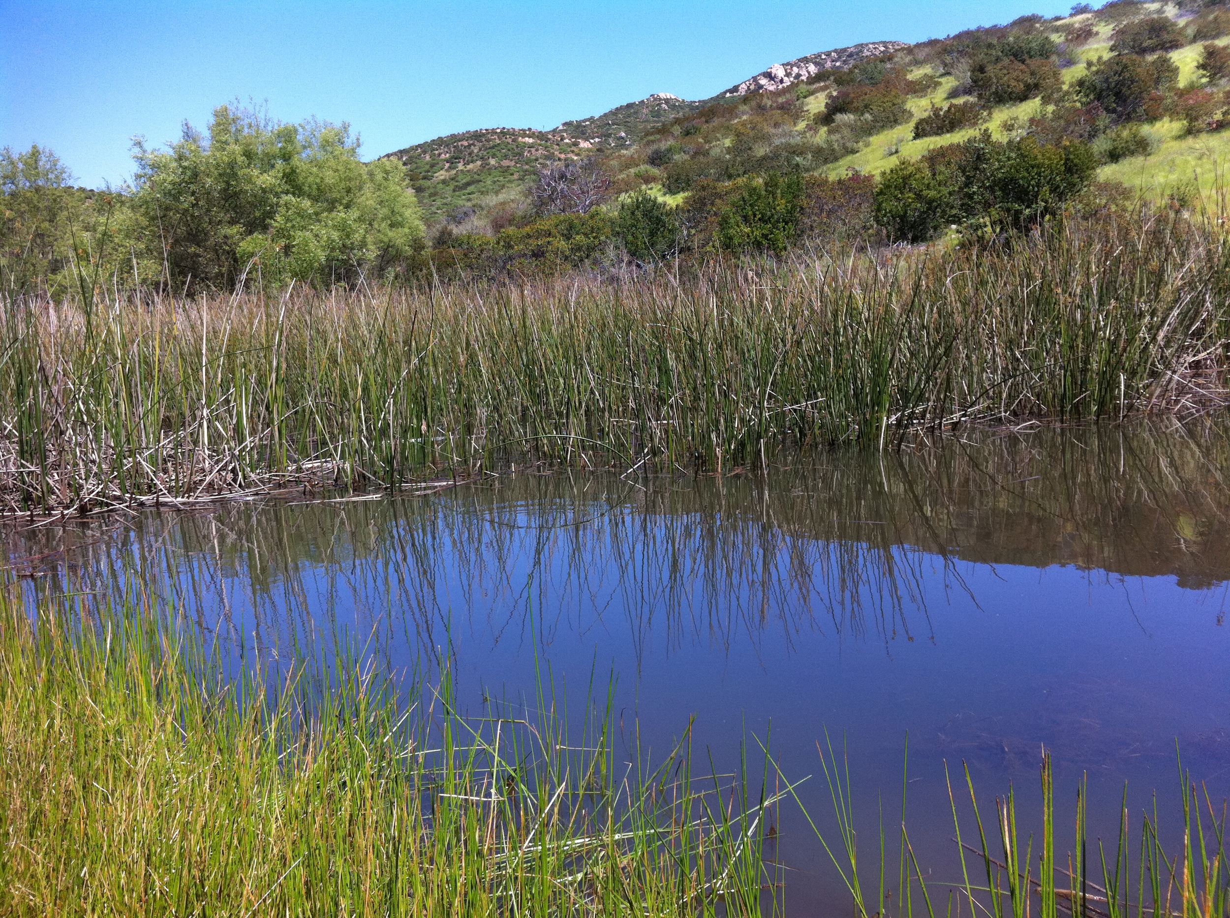
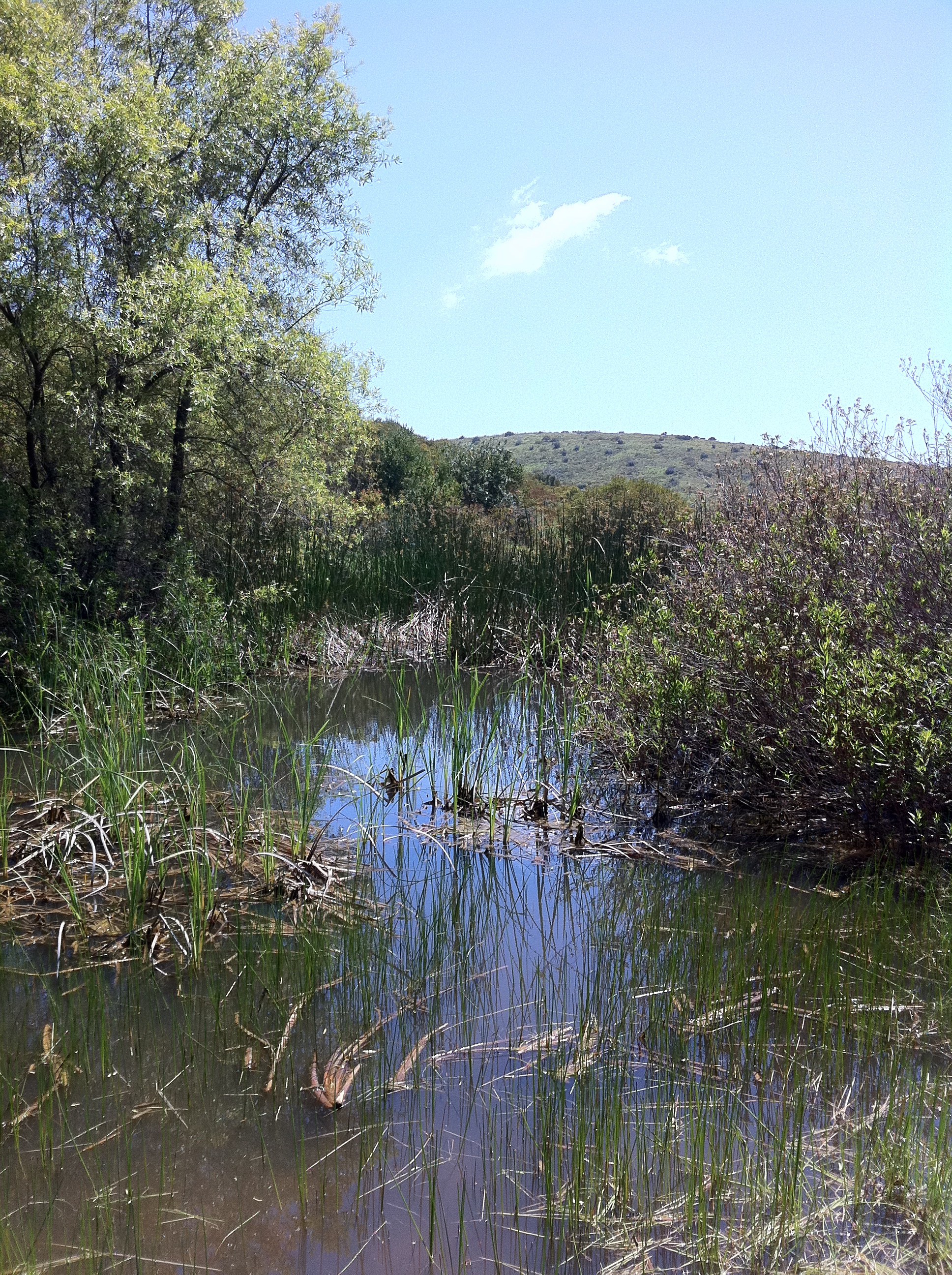
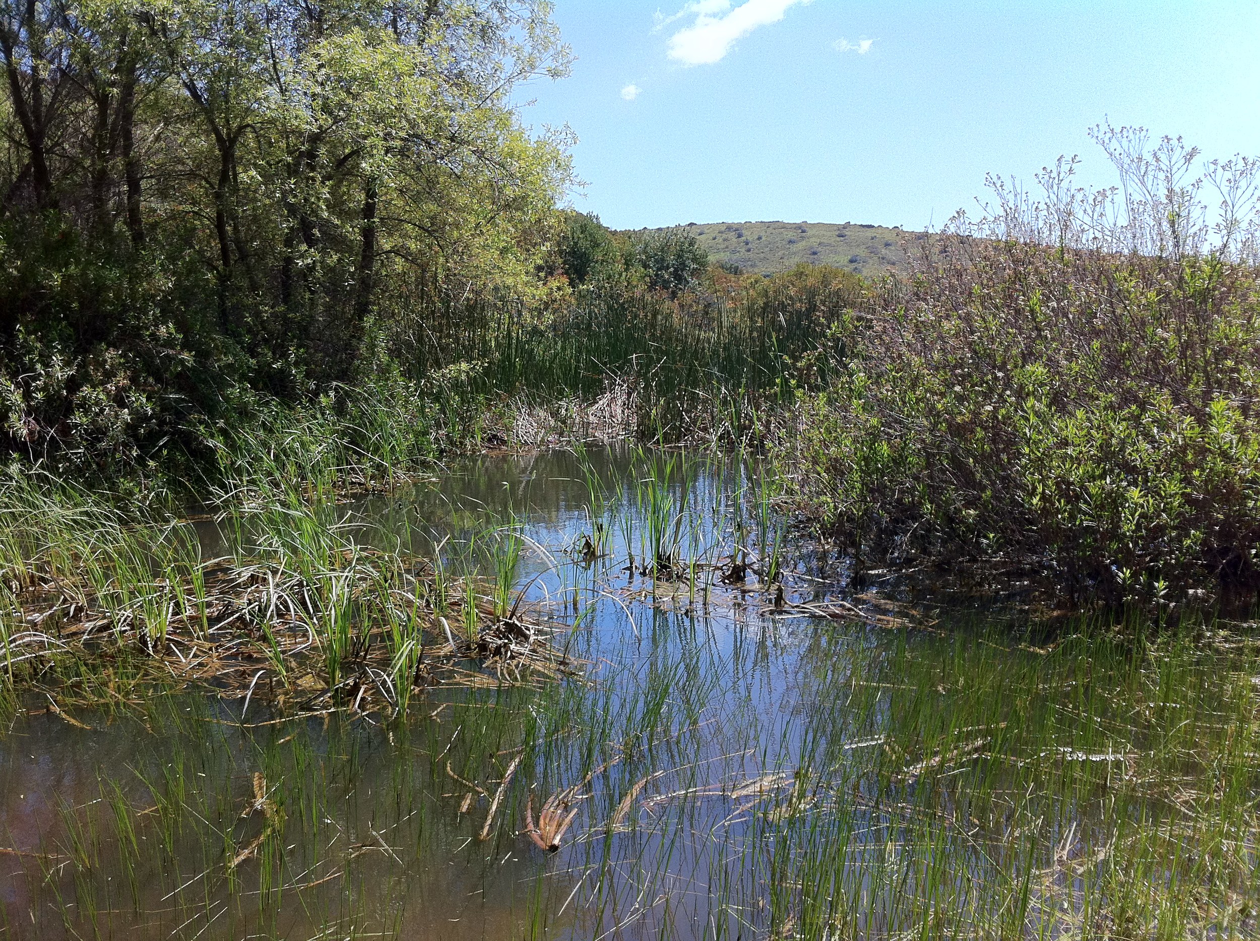
This descent is slightly steeper than the original hill climb out of the Clairemont parking area/trailhead, but is not something that beginner to moderate hikers cannot accomplish. At the bottom of the hill, the trail again splits, heading Northwest (the Shepherd Pond trail/Loop); and East (to North Fortuna Mountain). Again, this route is well marked. From this point, the trail descends into Shepherd Canyon, which is a very quiet area of the park, before passing Shepherd Pond, a year round pool of water. While there is water in Shepherd Pond year round, the area is at its finest after the winter rains and during the spring growth season. Once you are done admiring one of San Diego's only year-round water sources, you can head back the way you came, for a moderate six mile roundtrip hike; or head out through the park's Portobelo entrance; or return back along one of the many other trails you bisected along your route to the pond.
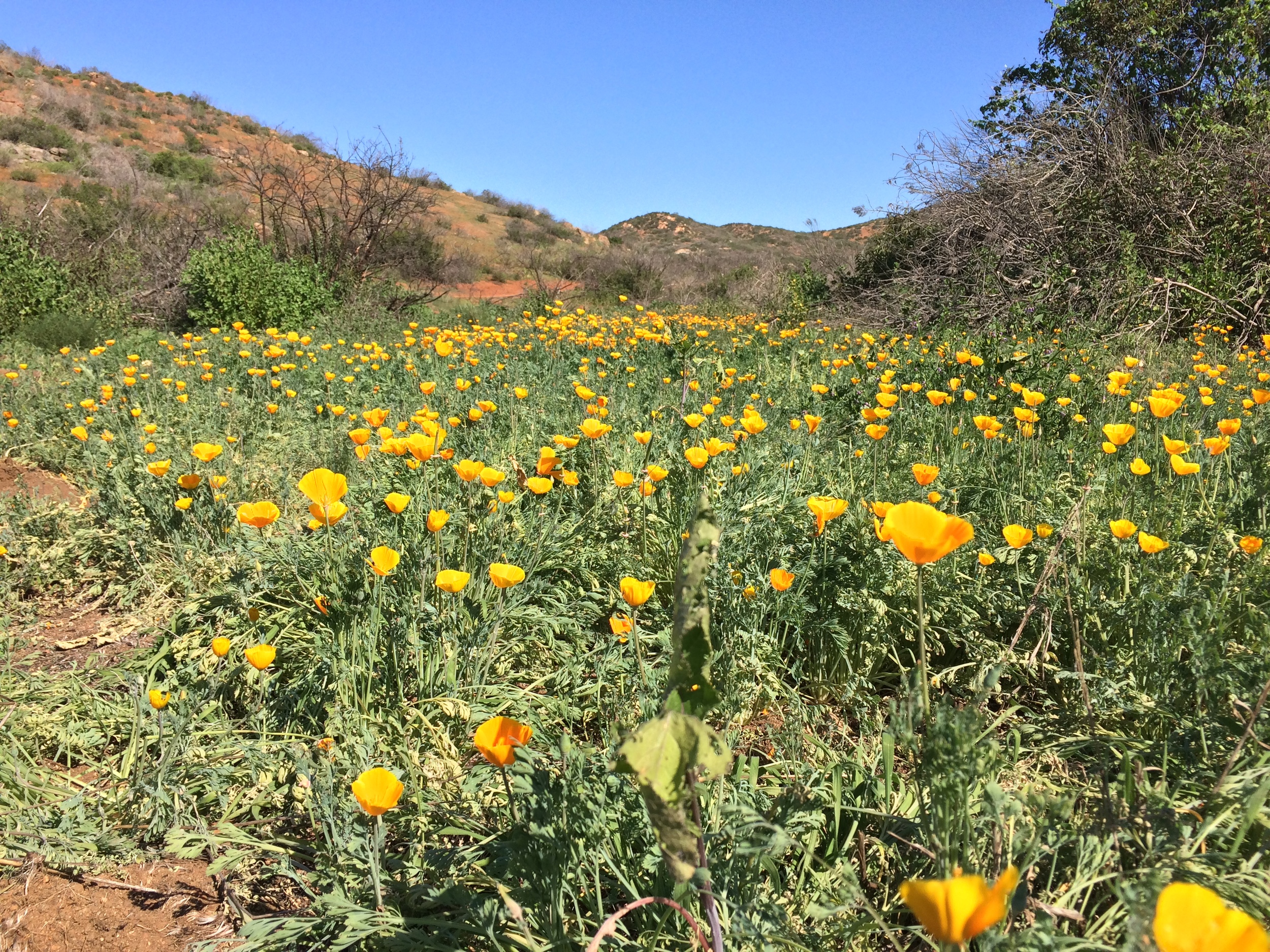
Tips: This is an area of the park without much sun cover; if any. Even during the winter months, it can get quite warm to hot on the trail during this hike; so be sure to bring plenty of water. This is also a hike with great views of the interior of the park; and a hike that provides great potential for solitude, even on weekends. While it is not an unknown area (the pond itself is very close to the Portobelo entrance), this area does not have the crowds or visitor recognition that the Eastern portions of the park does. Finally, while this hike can be done year-round, the best time to do this hike is late winter to spring, as the pond will have more water; there will be greater opportunities to view wildlife, and there will be spring wildflowers.