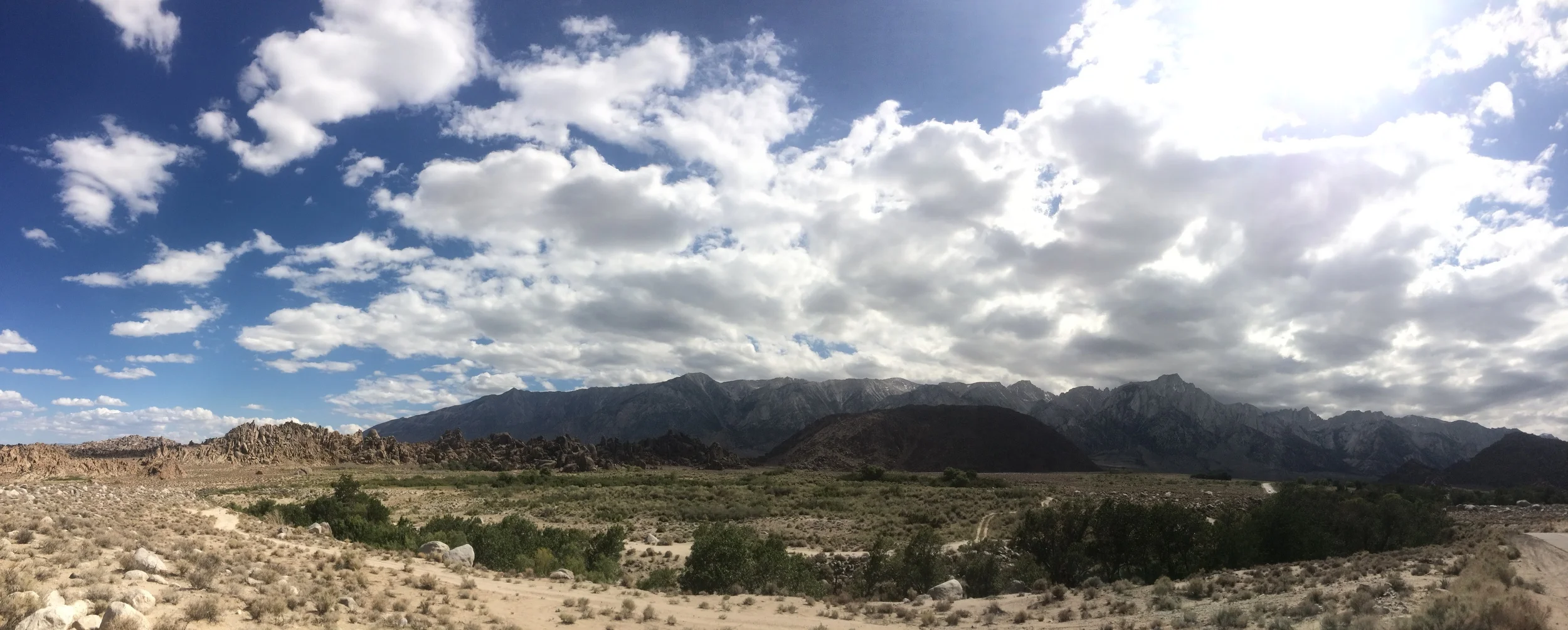
Calico Hills, Red Rock Canyon NCA
Las Vegas. A city that’s home to every kind of strange phenomenon in North America. And, perhaps surprisingly enough, a city that’s has some great natural resources and places to get away from all the things one initially came to Las Vegas to experience. To the West of Las Vegas is the Mojave National Preserve, which has some interesting sights (Zzyzxx: http://lastadventurer.com/last-adventurers-fieldnotes/2012/1/13/zzyzx-mojave-national-preserve.html) and some great trails (http://lastadventurer.com/last-adventurers-fieldnotes/2012/1/10/ring-loop-trail-mojave-national-preserve.html). However, if you don’t want to drive an hour or two outside the city, there’s a better, closer option: Red Rock Canyon National Conservation Area.
Red Rock Canyon is one of those places that everyone seems to have heard about in the wilderness community when you mention Las Vegas, but a place that few people have actually visited (other than locals, of course). For years, I heard about how it had great climbing, great hiking, and great geologic features. But, when I asked tough questions like: “What kind of climbing routes?”, “How long are the hikes?”, and “What kind of geologic features are we discussing?” I usually received blank stares. Simply put, everyone has heard of Red Rock, but few people actually know Red Rock (aside from locals). The other day, I finally had the time to head out there, and I now can say that all the speculation about the park is true: it is an amazing place. Even better, I can tell you that there is all types of climbing, from scrambling, bouldering, and aid assisted; that there are short and long distance hikes; and that there are many interesting geologic features out there, including the red Aztec Sandstone bands. (http://www.redrockcanyonlv.org/geology.html). I went on a couple hikes out there, and was struck by how this hike, Calico Hills was a great introduction to the park for all ages and experience levels.
 Some of the smaller Calico Hills - note that Aztec Sandstone!
Directions: Red Rock Canyon NCA is located off of Highway 159, and is approximately a half hour drive from downtown Las Vegas (the strip). The park is administered by the Bureau of Land Management (BLM), and at this point in time, if you are going to enter the park through the Scenic Drive entrance (where this hike is located), there is a $7.00 day use fee. From the park entrance, it is approximately a mile (1) to the first Calico Hills parking area; and a mile and a half (1.5) to the second Calico Hills parking area. A word to the wise: while both of these parking areas are well signed, and impossible to miss, they are quite popular. It is likely that you will not find parking at either of these locations; and will have to continue up the road to the third Calico Hills parking area. During my visit, there was no room in the first Calico lot, despite it being mid-day on a weekday, and I ended up parking at the second parking area.
From any of the trailheads, the Calico Hills trail runs a whopping 3.2 miles from the entrance station to the Sandstone Quarry. (http://www.redrockcanyonlv.org/hikes_map.html) The trail additionally links up to a number of other trails that can be used to make the hike longer. (http://www.birdandhike.com/Hike/Red_Rocks/Calico_Hills/CHTrail_Map-O.htm). The trail is mostly flat and not challenging, and in my opinion, is suitable for all ages. The real attraction of this trail, to me, and from what I observed, was its proximity to the Calico Hills themselves, which are a brilliant red formation of rocks made out of – you guessed it – Aztec Sandstone! In fact, I would say that the majority of the time spent by me and my hiking group was up in the Calico Hills, scrambling around on the rocks. And honestly, why not? If you’re at Red Rock, this is what you should be doing – getting up close and personal with time traveling rocks. Depending on how long you spend on and about the Calico Hills, this trail can take you anywhere from an hour to a day.
 Looking down the Calico Hills at more Aztec Sandstone Tips: The other day I was talking about Good Mountaineering Karma (“GMK”), and the Calico Hills is yet another place where this concept applies. When my group and I were scrambling around on the rocks, we came across a father with a very distraught daughter “trapped” on a ledge ten feet above us. While they weren’t in a spot where they couldn’t descend on their own, the girl’s fear had trapped them both. Naturally, I climbed up a little and helped them down to an area that was less steep – GMK, pass it on. The lesson to take from this though is that the Calico Hills are deceptively steep in spots. While most of this area is nothing but simple bouldering/scrambling routes, there are some areas where it is possible to get stuck, and should you not be paying attention, plenty of spots where you can take a nasty fall. As always, be mindful of the terrain around you and your ability. Finally, it is the desert: be prepared with water, food, sun protection, and should you be headed deeper into the Calico Hills, a map or GPS.
More Information: http://www.lasvegasoutdooradventure.com/2012/03/las-vegas-hiking-red-rock-canyon-calicohills/, http://www.blm.gov/nv/st/en/fo/lvfo/blm_programs/blm_special_areas/red_rock_nca/planning_your_visit.html, http://www.redrockcanyonlv.org/hikes_trails.php#, http://www.birdandhike.com/Hike/Red_Rocks/Calico_Hills/_CH.htm