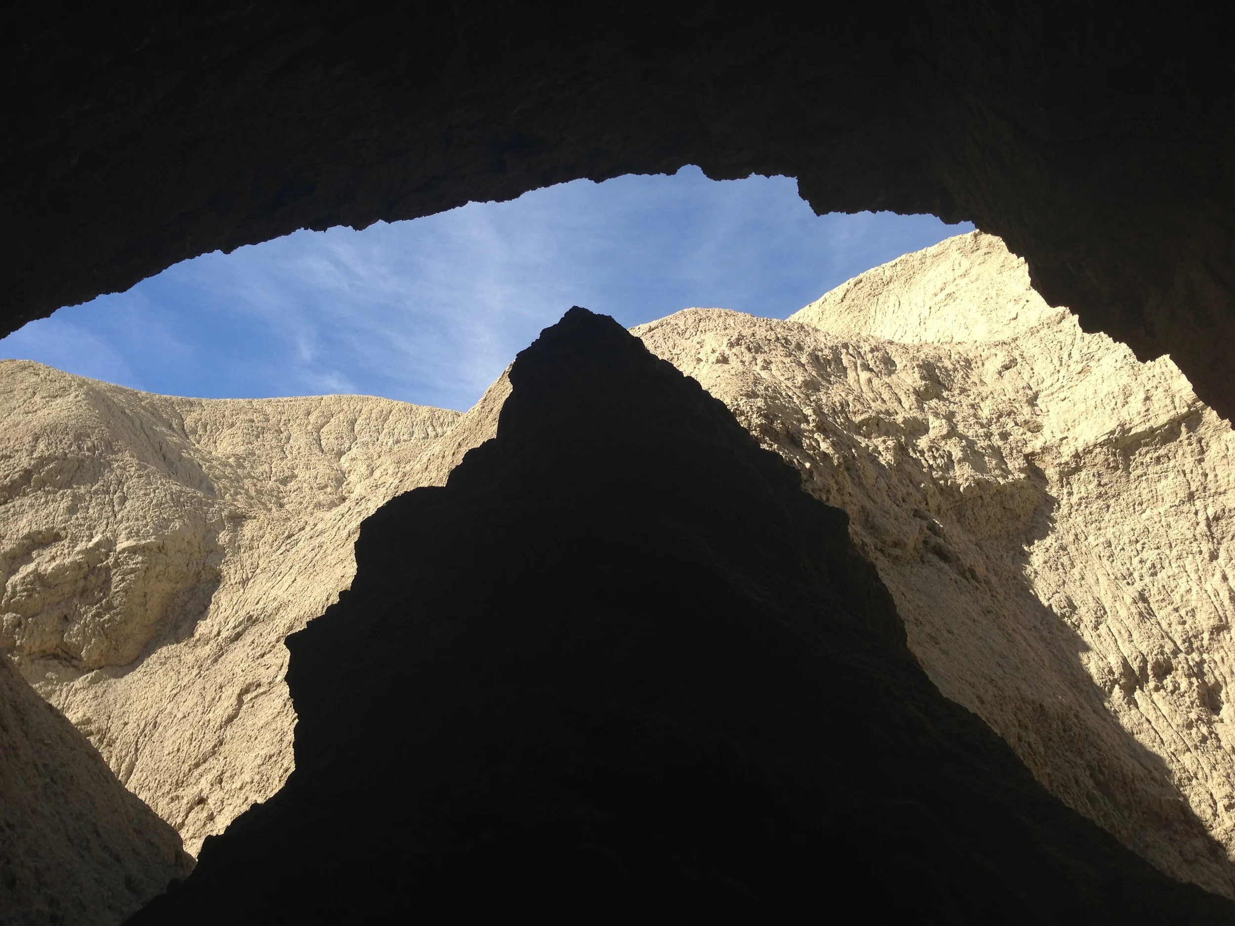
Summit View, Mt. Elbert, Colorado
Ahoy-hoy listeners and readers! If you’re not listening to In Ice Axe We Trust (“IIAWT”), you are missing out! February was a great second month of podcasts for IIAWT, and we had three fantastic guests, Epic Bill Bradley (@epicbillbradley), Michael Restivo (@mikeoffthemap), and Bob Doucette (@RMhigh7088). Both shows had great practical mountaineering tips, and more mountaineering stories than you could shake your trekking poles at; so, without further ado, check out the episodes below:
February 13, 2013, Episode 3: Introduction to Expedition Mountaineering. Unofficially, I’m going to call this the “Show up and suffer” show in honor of Epic Bill Bradley, who is an amazing guy and personal friend of the show. If you’re interested at all in the nuts and bolts of getting into the sport of expedition mountaineering, Bill provides a how-to guide of how he climbed Denali in 2012 from start to finish. This is something you really need to listen to, so check that out: HERE, or on iTunes.

Not a wolf, but there are wolves in our Podcast! Tune on in to find out where and when!
February 27, 2013, Episode 4: Mount Elbert, Colorado: the IIAWT How-to climb guide. If you thought that we couldn’t top the stories of Epic Bill in Episode 3, you’d be wrong. We were lucky to have two great guests, Michael Restivo and Bob Doucette in studio who, along with me, broke down the tips, tactics, route, gear, and everything else needed to climb the highest point in Colorado. More importantly, we learned that when the weather gets cold, you need that ice axe in hand to fend off the dangers of wolves. Don’t believe it? Listen HERE, or on iTunes.
Books: On 02/13/13, we talked about many a mountaineer’s inspiration, Into Thin Air, and learned that while the book is enthralling, the made for TV movie is nothing but a bust. And, on 02/27/13, we talked about Colorado’s Fourteeners, the definitive hiking and climbing guide for the peaks of Colorado. Both are great books, and great resources to have!
Coming Shows: We will be back on the air on 3/13/13 with another mystery guest or two. Stay tuned to us on Twitter to find out who or whom!
Giveaways/Sponsors: We are still offering a copy of COLD to anyone that can provide us a 250 word story on mountaineering or other hiking derring-do; and currently we are sponsored by Inthebivvy.com. On 2/27/13, our guests were lucky enough to receive some swag from Racespace.org, the go-to couch surfing site for runners and other racers. If you’re interested in entering any contests or sponsoring the show, contact myself, or thepeakseeker, and be sure to tune in!