Southern California Hiking

Current Winter Conditions 2016, Mount San Jacinto

Current Winter Conditions 2016, Mount San Jacinto

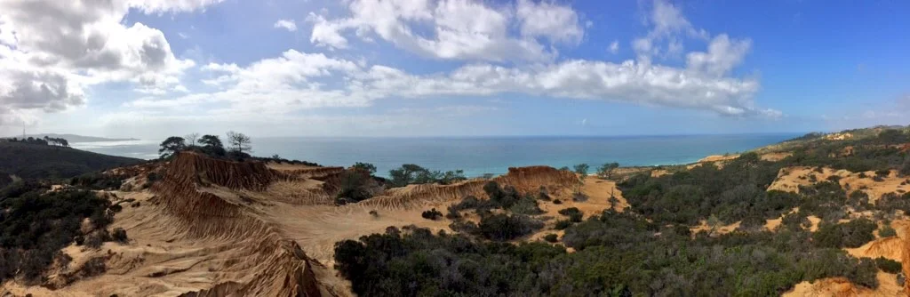
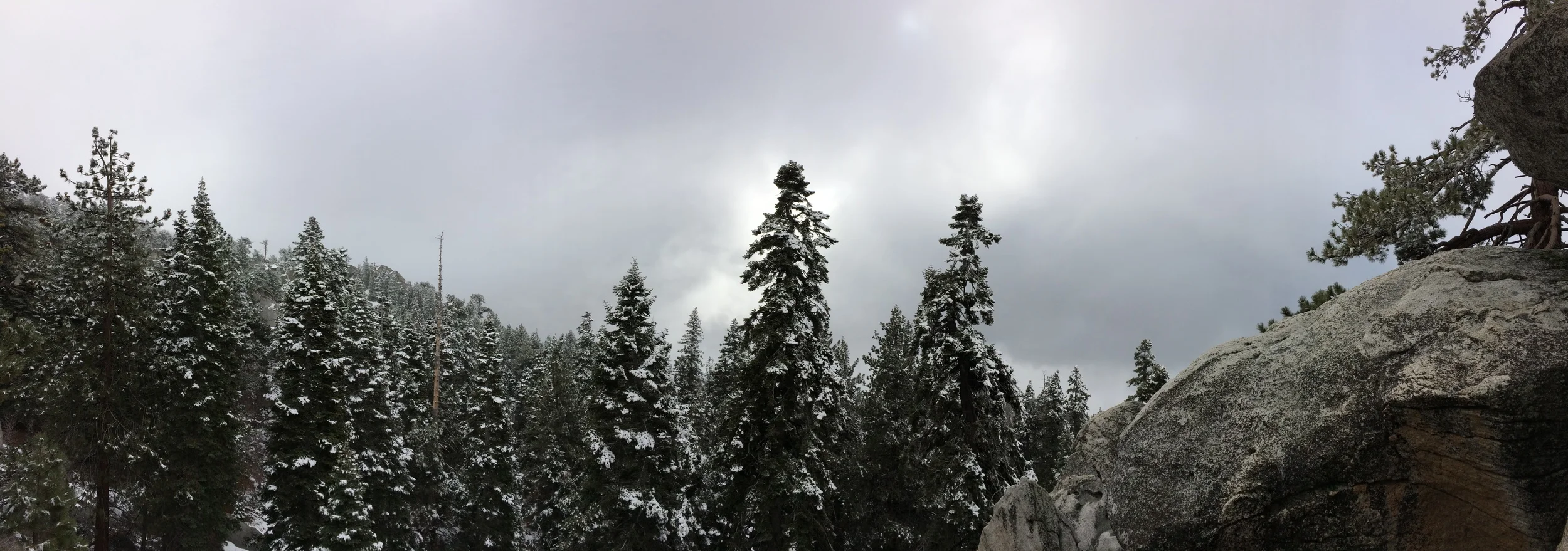
Out of all the continental United States, Southern California offers some of the greatest variety in terrain. What it does not offer on occasion on certain trails is serenity, and solitude. While popular trails face heavy traffic nation-wide, popular trails in Southern California sometimes resemble a human version of the region’s congested roadways. Despite these problems, hikers of all skill levels in the region – especially in 2016 – know where to go and when to go to avoid crowds, thanks in part to the internet, and thanks in part to a greater interest in hiking generally. One of the routes in the region that has always been popular has been the Aerial Tramway to San Jacinto summit, due in part to the moderate distance (11.5 miles roundtrip), moderate elevation gain (2,190 feet), unique aerial tram ride experience, and possibility of summitting one of Southern California’s highest mountains (unofficially now known as the “Six Pack of Peaks”). 

Broken Hill Loop, Torrey Pines State Reserve

Broken Hill Loop, Torrey Pines State Reserve

Although San Diego has many great places to watch the sunset as it is a beach town, one of the best places, if not the best can be found with minimal effort in Torrey Pines State Reserve along the Broken Hill Loop Trail.

Deer Springs Trail to Strawberry Junction

Deer Springs Trail to Strawberry Junction

One of the best places to hike in Southern California is Mount San Jacinto State Park, in part because there are a number of great routes up Southern California’s second highest mountain; and in part because the park offers a number of great hiking opportunities for all skill levels. One of the more moderate hikes that doesn’t involve summiting the mountain, but provides great views and solitude is Deer Springs Trail to Strawberry Junction.

Background on the Infamous Goat Canyon Trestle Hike

Background on the Infamous Goat Canyon Trestle Hike

Fact: the best hike in San Diego County is one that most people aren’t going to want to do, and probably shouldn’t do, unless they are physically and mentally prepared. And, even better, here’s a supplemental fact about this hike: I had so much to say about this hike that I had to break up my comments into two posts. This hike involves traveling over rough terrain. It involves using a map and compass, or GPS unit. It involves scrambling and some bouldering. It involves not following a trail. It involves off-roading to a remote trailhead; and it involves committing a whole day to hiking in and hiking out. It involves exploring, and possibly breaking the law. It involves avoiding glowing orbs, and avoiding the Borrego Sandman (or men), if they exist. In short, the best hike in San Diego County is nothing short of an epic one-day adventure. This is precisely why this hike is the best hike in San Diego County: it is an adventure. What hike are we talking about? What I am talking about is the Goat Canyon Trestle Hike to the Carrizo Gorge, or if we are being formal, the Mortero Palms to Goat Canyon Traverse.

Arroyo Tapiado Mud Caves

Arroyo Tapiado Mud Caves

If you’re a Southern California resident, and you’re looking for a challenge that is a little more exciting than Potato Chip Rock (a/k/a Mount Woodson), the adventure you’re looking for is the Arroyo Tapiado Mud Caves. Since I covered this area in detail back in 2011 here, I’m not going to go into excruciating detail today, because you can read the details here. The caves are located approximately two hours outside of San Diego, and are perhaps the largest network of mud caves in the world, comprising some twenty to thirty caves.

Directions: If you are coming from San Diego, take the I-8 east to the town of Ocotillo, California. Exit the freeway, and turn onto the S-2 hearing North (Left). Follow the S-2 past the brand sparkling new wind turbines, through the border checkpoint, and into Anza-Borrego State Park. Once you are in the State Park, you will want to look for Mile Marker 43, which is also marked as the “Palm Spring” turnout (no, it is not the turnout for the town, it is the turnout for the actual Palm Spring from the Butterfield Stage Line). From this point on you will be “off-roading”.

A Devils Punchbowl but not "The" Devils Punchbowl

A Devils Punchbowl but not "The" Devils Punchbowl

Today I’d like to talk about the myth and legend of the “Devils Punchbowl” in San Diego County. If you’ve like me, and you’ve lived in San Diego, or spent enough time in San Diego, and you’re interested in the backcountry, chances are you’ve heard of “The Devils Punchbowl” after you heard about Cowles MountainIron Mountain, and Woodson Mountain (a/k/a “Potato Chip Rock”). Here’s the interesting thing though: unlike the above peaks, “The Devils Punchbowl” is a more nebulous concept. There’s no doubt that it exists – it’s definitely a location that exists. But, it exists in about ten or eleven different locations, depending on who you are talking to, and who is giving you directions to the “actual” site.

Scorpion Ranch to Smugglers Cove

Scorpion Ranch to Smugglers Cove

Southern California has a lot of places to hike. From the desert; to the beach; to the mountains; to the high country chaparral; to the seasonal rivers and waterfalls and beyond, there are a lot of places to hike. You don’t need to take my word for it – there’s a plethora of books and blogs out there about hiking, backpacking, and all of the areas that are available to explore. And there should be – there’s so much variety out there, it’s good to get advice not just from one source, but a number of sources. I always tell my friends, and you, my readers not just to take my word for things; but to do your own research and to always do your own exploration, because in my experience, when people do those things, they always make the adventure their own.