Panamint Mountains

Ballarat

Ballarat

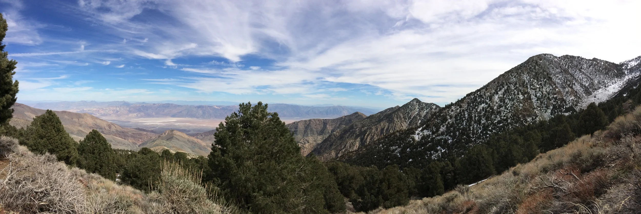
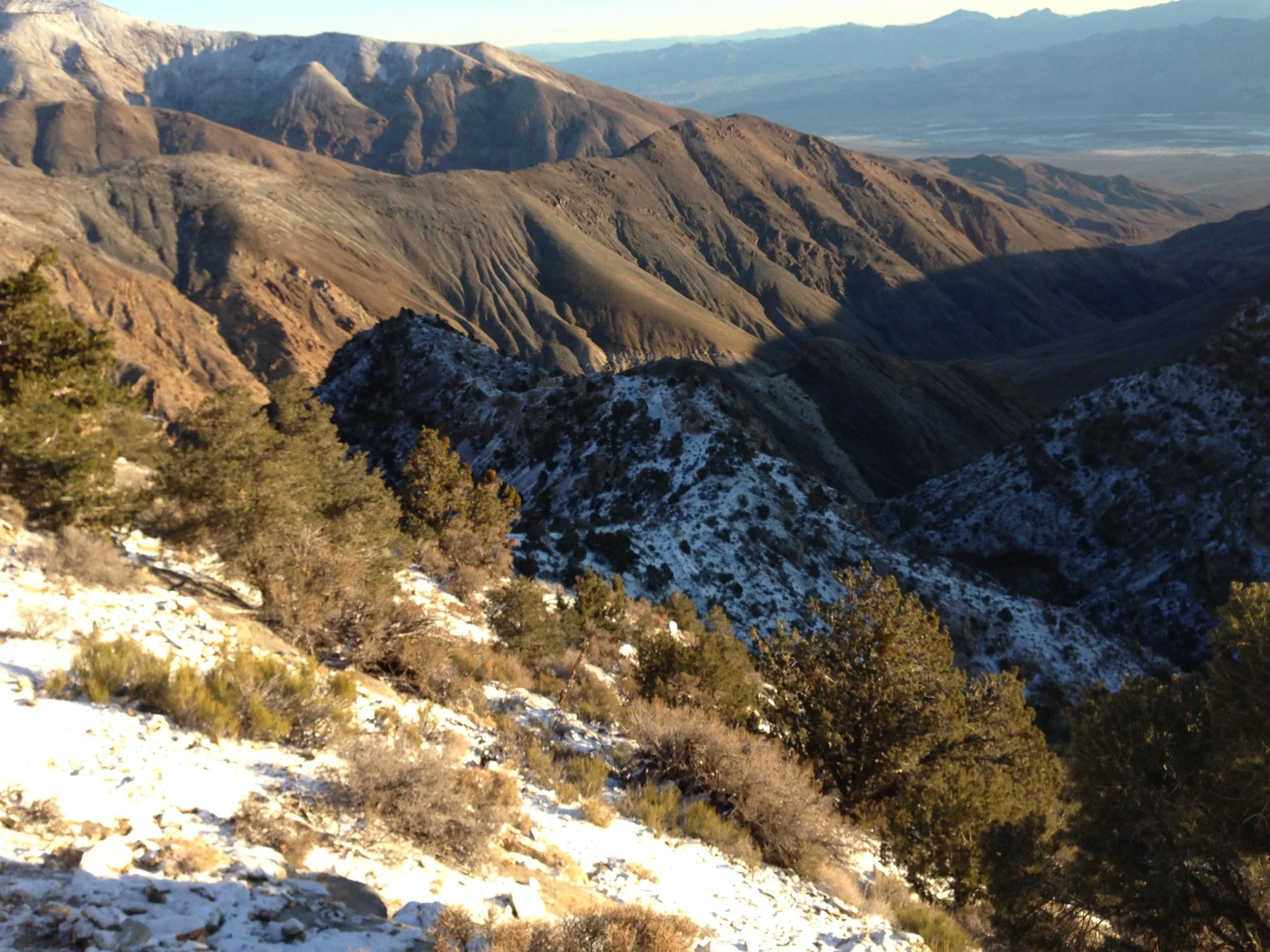
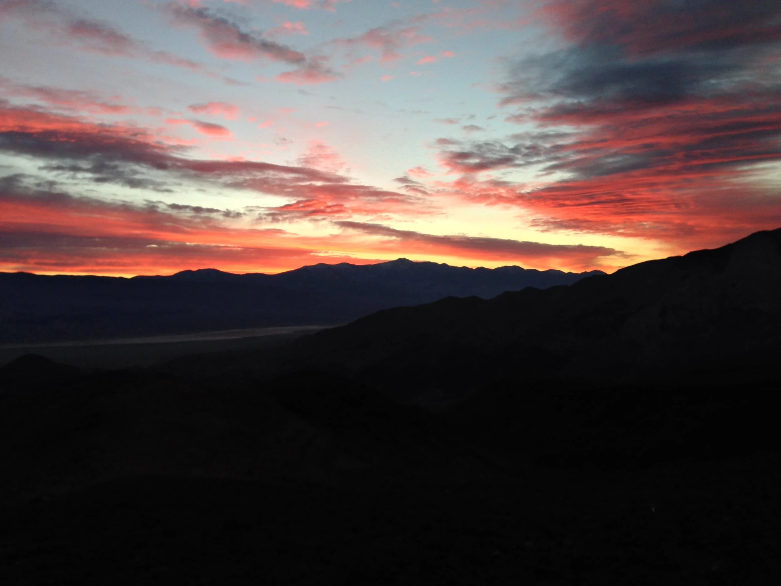
One of the most desolate stretches of highway in California is the section of road on Highway 178 from Ridgecrest to Highway 190. To the North are the uninhabited regions of China Lake Naval Air Weapons Station and the Coso Wilderness. To the East are the high peaks of the Panamint Mountain range, and not one, but two salt flat laden valleys, the Searles Valley, and the Panamint Valley. There is only one “town” – in this area, and that is Trona, and it has seen better days. There is no cellular service on this stretch of highway, and during the summer, temperatures regularly exceed 115 degrees. The area is wild, and beautiful in a desolate, endless desert type of way. Along with the town of Trona, the area is also littered with places and things that time has forgotten, like the Trona Pinnacles, and various old mines and mining claims.

Shorty's Well Route

Shorty's Well Route

Start in darkness. End in darkness. This is what I was thinking at 11:49 p.m. on March 14, 2015. At that point, David Wherry and I had been mountaineering for almost twenty-four hours straight. Minutes before, we had exchanged a few words about how it would be nice to be back at the car before the next day began at 12:01 a.m.; but despite this conversation, we are still shambling along at a crawl into the Badwater Basin our normally powerful gaits reduced to pitiful zombie-esqe shuffling.  My legs hurt. My back hurt; and as of 11:32 p.m., my feet had finally started hurting. I felt more dead than alive. At that moment, a mere quarter mile from the car, I was thinking of nothing but two things: “Start in darkness; end in darkness” and its “not mountaineering until someone draws blood”.  What we had been doing was mountaineering; there was no doubt in my mind about that. As we finally reached the car, there was one thing I understood fully though: the Shorty’s Well Route was indeed the “impossible hike” and the hardest mountaineering route in North America.

Mystery Mine, Panamint Mountains

Mystery Mine, Panamint Mountains

One of the many things that I like about Death Valley National Park is its enormous expanse of open terrain. Its enormous swath of desert and mountain wilderness ensures that you will have solitude to appreciate the park's many amazing geologic features; and it also ensures that you will have the opportunity to have an adventure, and if you're lucky, the chance to discover things that have been lost. For example, earlier this year, when thepeakseeker and I were attempting the Shorty's Well Route (Trip Report here) to the top of Telescope Peak, we came across an abandoned mine. While abandoned mines are common in Death Valley due to the park's mining history, the location of this mine was unexpected. We had backpacked into the Panamint Mountains from the Badwater Basin; and had passed Shorty's Well, and Shorty's Mine. From the mine, we had followed a foot trail which had gradually become steeper deep into the mountains. At the end of the first day of backpacking, we had traveled ten miles from the nearest "road"; and were truly off the grid.

Gear Review: OR Men's Lodestar Jacket

As part and parcel of the #ORInsightLab, I've been testing the gear they provided me. While the Men's Valhalla Jacket was an excellent lightweight shell, the favorite piece of gear I've tested from Outdoor Research has been the Men's Lodestar Jacket. It's been my favorite piece of gear to test for one simple reason: it's kept me warm. In fact, not only has it kept me warm, it's kept me scorching-sun toasty warm. As a mountaineer, staying warm is serious business - in fact, on many occasions, staying warm can be the difference between life and death.

IMG_0122.JPG

And, as a mountaineer, staying warm is not always easy, as high altitude, wind, rain, snow, sleet, and pretty much every other element conspire to steal your body heat. But, with the Lodestar Jacket, staying warm is easy - almost too easy. I took the Lodestar out on a variety of trips, and on each occasion, it excelled. When I was in the Meysan Lakes Basin in November of 2013 at 9,000 feet, the jacket kept me warm under bluebird skies and slightly breezy conditions. In the Panamint Range of Death Valley, the jacket kept me warm through rain, sleet, and snow, and was a great early morning layer when the temperatures were below 20 degrees. I also logged a number of hours with the jacket in a variety of elevations on a couple of other occasions, and it performed well then as well. As a matter of fact, I can't think of one criticism I have of the jacket - which is high praise from me, as I put my gear through the wringer. Lightweight, warm, and with a good fit - what's not to like. Outdoor Research, I have to hand it to you - this jacket is a must-have for mountaineering.

Father Crowley Vista

Father Crowley Vista

When most people think of Death Valley National Park, they don't think of stunning sunrises and sunsets. The truth of the matter is that they should. From Zabriskie Point, to the Mesquite Flat Sand Dunes, and into the mountains like Dante's BM and the summit of Telescope Peak, the park has a number of amazing spots to watch the planet spin. In my opinion, the best - and easiest location to catch the sunrise is Father Crowley Vista. While it does not have the cache of Zabriskie Point, Father Crowley Vista has a great panoramic views of the Panamint Valley below, Rainbow Canyon, and the Panamint Range in the far distance. Moreover, its location - directly off of Highway 190 on the park's far West border ensures that it will not have the crowds that the more popular spots listed above will. The location is named for the Padre of the desert, Father Crowley, and is a great spot to stop at even if you miss the sunrise. Do note that unlike other park locations, this is a spot that is just a vista, and not much for hiking, unless you want to walk from the parking area down the unpaved dirt road of the actual viewpoint; but it is a great spot to start (or finish) your Death Valley adventure.

Golden Canyon to Zabriskie Point

Golden Canyon to Zabriskie Point

There’s a lot of hikes in the National Park system that get a lot of press as the “best hikes”. And, when I say “press”, I am not just talking about articles written by journalists and bloggers. I am talking about word-of-mouth hikes that are discussed between hikers and non-hikers; discussions that percolate world-wide about places that should be seen or, in some cases, depending on who is talking, have to be seen. A lot of these hikes deserve the reputation and the discussion that they get; and a lot of these hikes don’t deserve the reputation that they get. I’m not going to weigh in about which hike deserves what as it’s a matter of personal opinion in my book. What I will say, is that the best secret hike in the National Park system is the hike(s) I’m talking about here and last week: Golden Canyon.

Eureka Mine, Harrisburg Ghost Town, Aguereberry Camp

Eureka Mine, Harrisburg Ghost Town, Aguereberry Camp

As if there weren’t enough interesting things about Death Valley National Park, here’s one more for you: the park is honeycombed with tons of abandoned mines, representing a bygone era of mineral exploration and exploitation.  Many of these mines can be seen from the trail, most notably in the Golden Canyon region, but a majority – if not all of these mines may be unsafe, due to a variety of factors – the mine may not be seismically stable, there may be hazardous gasses (methane), or there may be morlocks or other serious hazards within the mine. Fortunately, should you have the itch to explore a mine in a safe manner; there is an option for you: the Eureka Mine (provided you are headed there during the right season).