Case in point: McGinty Mountain – or Mt. McGinty. Like Iron Mountain, the roundtrip distance of this hike is 4.8 miles, and the while the elevation gained is slightly less, Mt. McGinty has two advantages: more rare plants and….a lot less people. Advantage: Mt. McGinty. Moreover, Mt. McGinty also has something Iron Mountain does not: hidden mines. Advantage again: Mt. McGinty. So, if you’re interested in a peakbagging experience in San Diego county that does not involve lots of hikers, read on.
The Alabama Hills
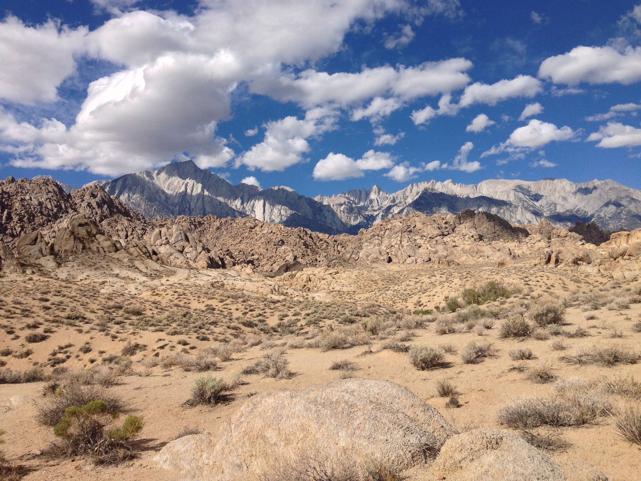
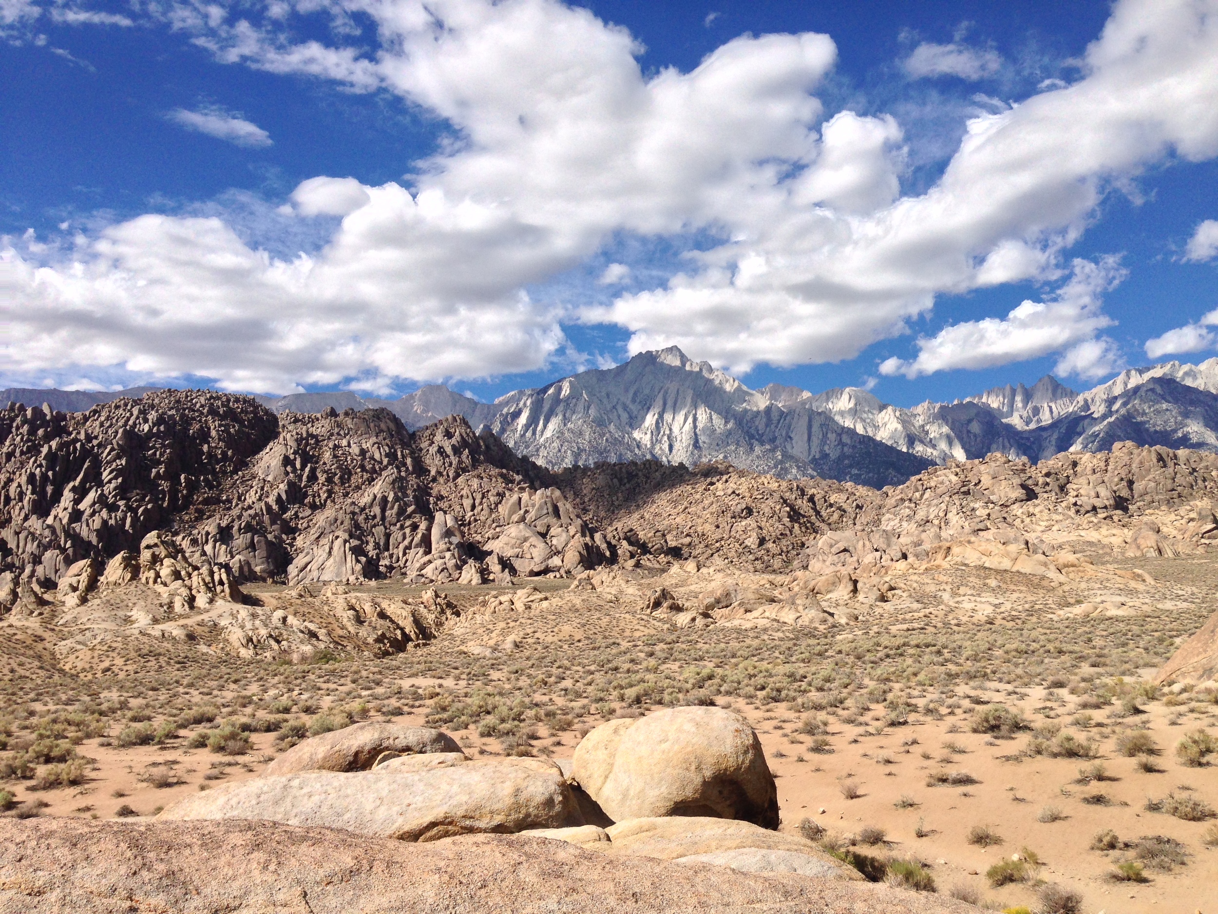
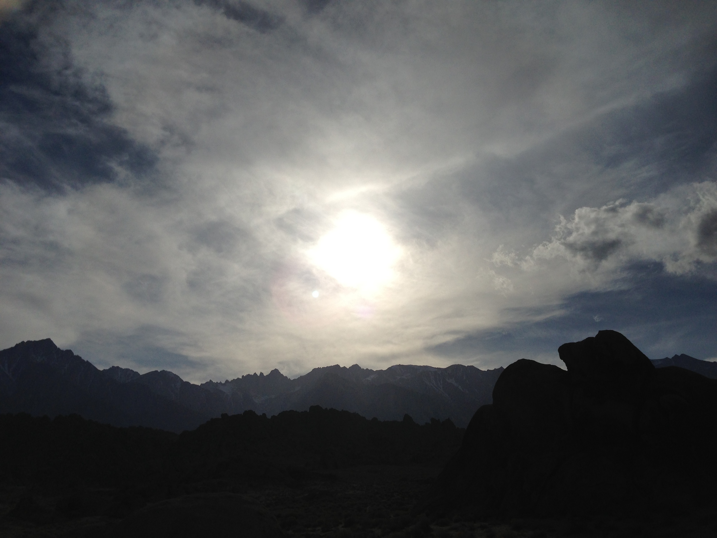
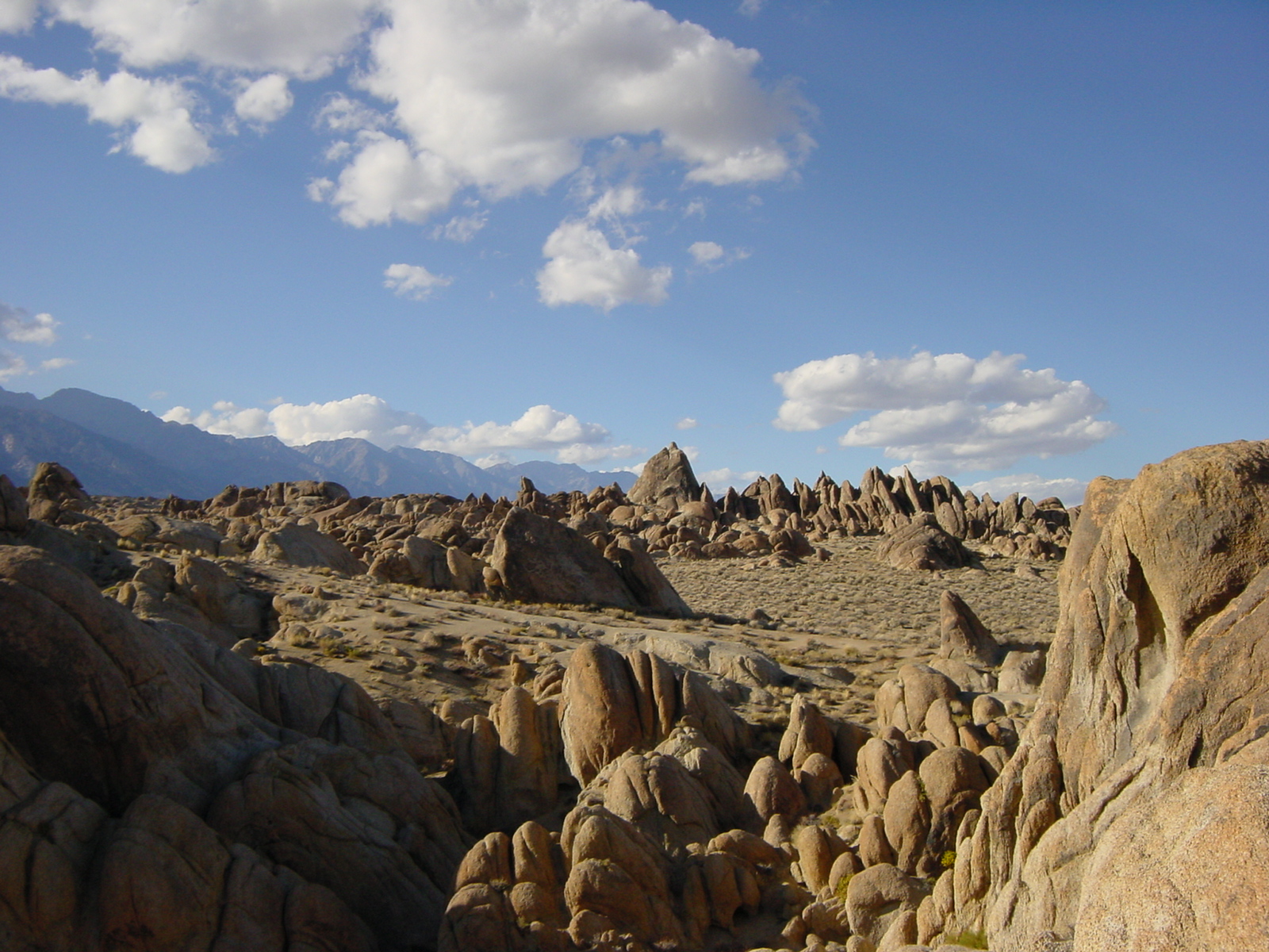
Stop me if you’ve heard this before: in order to save the world/survive the apocalypse, a lone wanderer/group of travelers travels across a rocky wasteland near some tall snow-capped mountains, and along the way, encounters zombies/aliens/cowboys/zombie-alien-cowboys. Sound familiar? Of course it does. It’s the plot from every summer blockbuster you’ve ever seen. You know where they’ve been filmed? I do. The Alabama Hills. Where are the Alabama Hills? Why, they’re at the base of a little-known mountain: Mt. Whitney. They’re also located right next to the town of Lone Pine, California, right off the I-395, and near another geological feature that I just talked about – Fossil Falls.
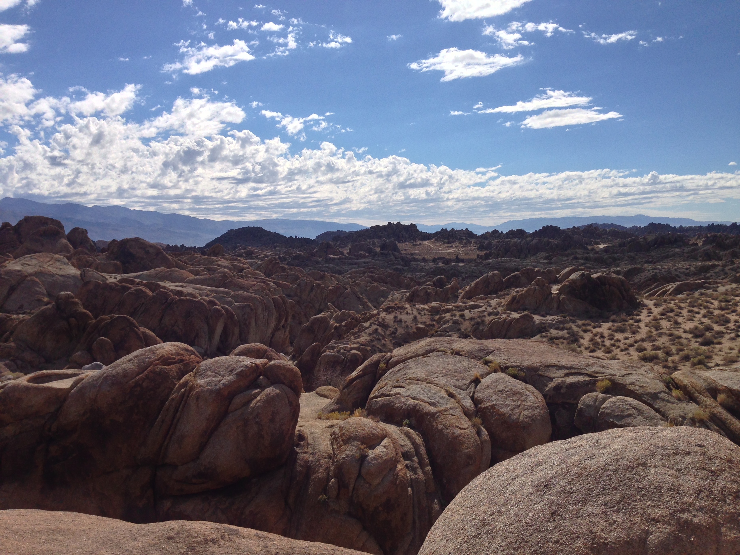
What are the Alabama Hills? The Alabama Hills are another interesting geological feature in the Eastern Sierra. According to the experts, they are the same age as the Sierra Nevada; and are made up of two types of rock: aged volcanic rock; and weathered granite. (More rock info here). While I can’t get into the geologic particulars of the area, I can tell you that this is a great area to explore in terms of bouldering, hiking, and photography.
The Top Things to Do in the Alabama Hills. Unlike Fossil Falls, I’ve been visiting the Alabama Hills for years, ever since I started climbing Mt. Whitney and its companion peaks. While I haven’t yet explored the entire region, I have been in numerous spots and have never had a bad time. One of the key things to remember about the area is that it is BLM land; so it is almost an open area for exploring, either by vehicle or foot. In my opinion, the best thing to do is to simply head out into the hills to have an unplanned and unmapped adventure, assuming you’re prepared and don’t get lost! If you’re more into the tried and true, the below recommendations are also fun too!
The Mobius Arch
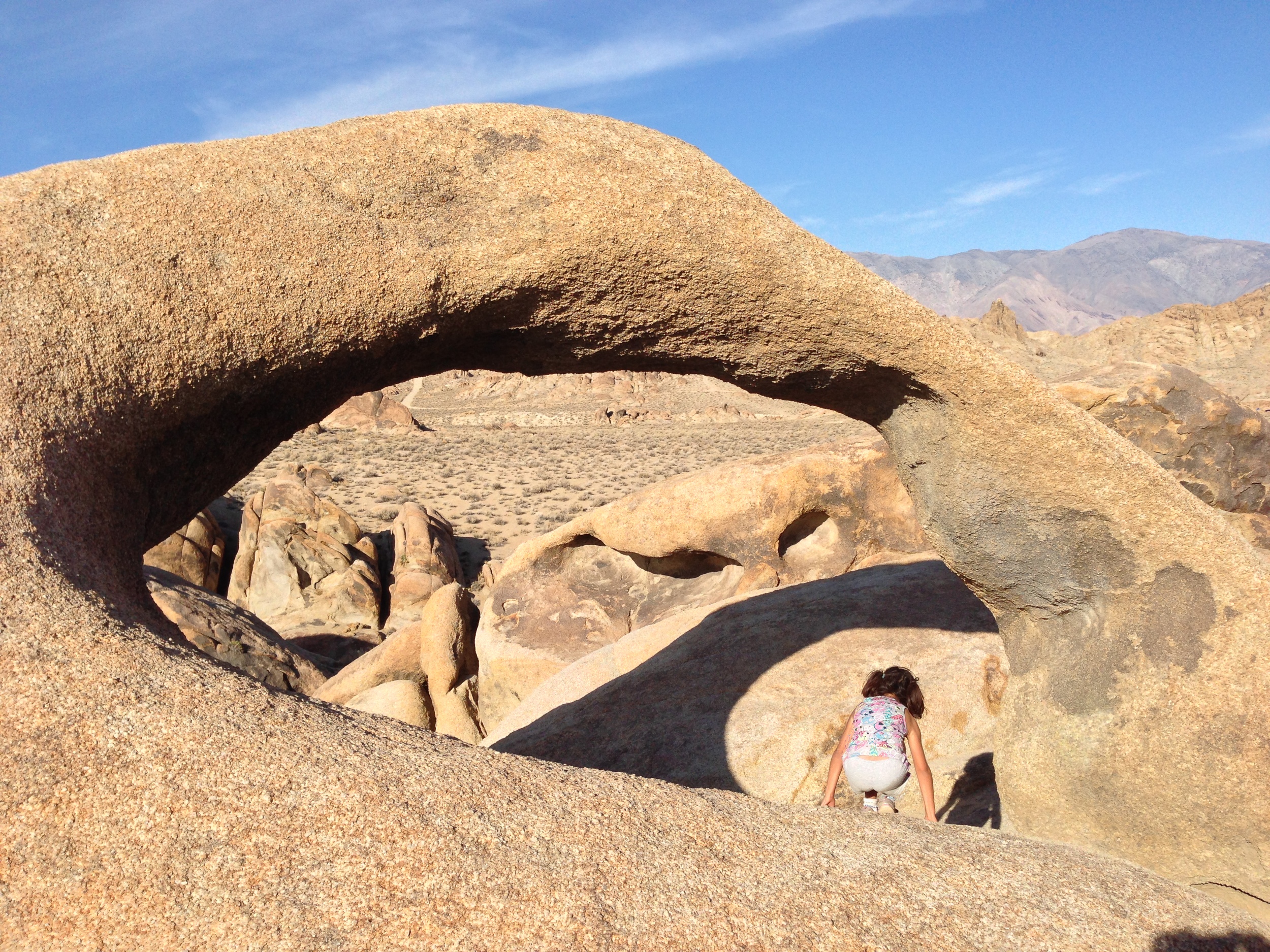
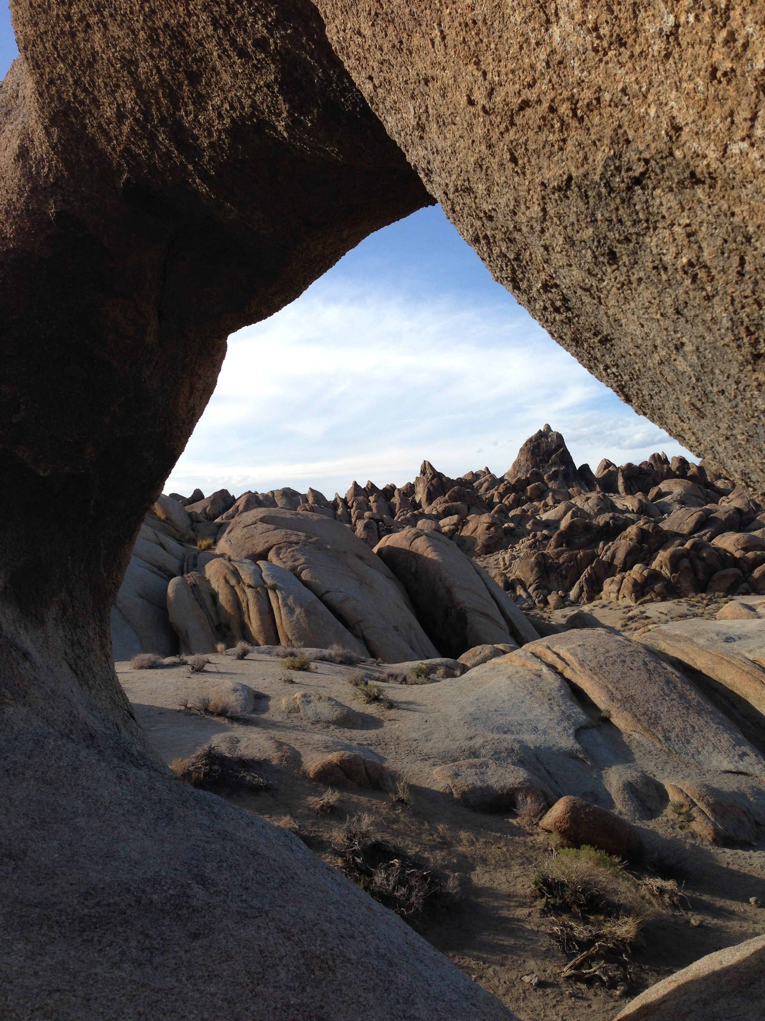
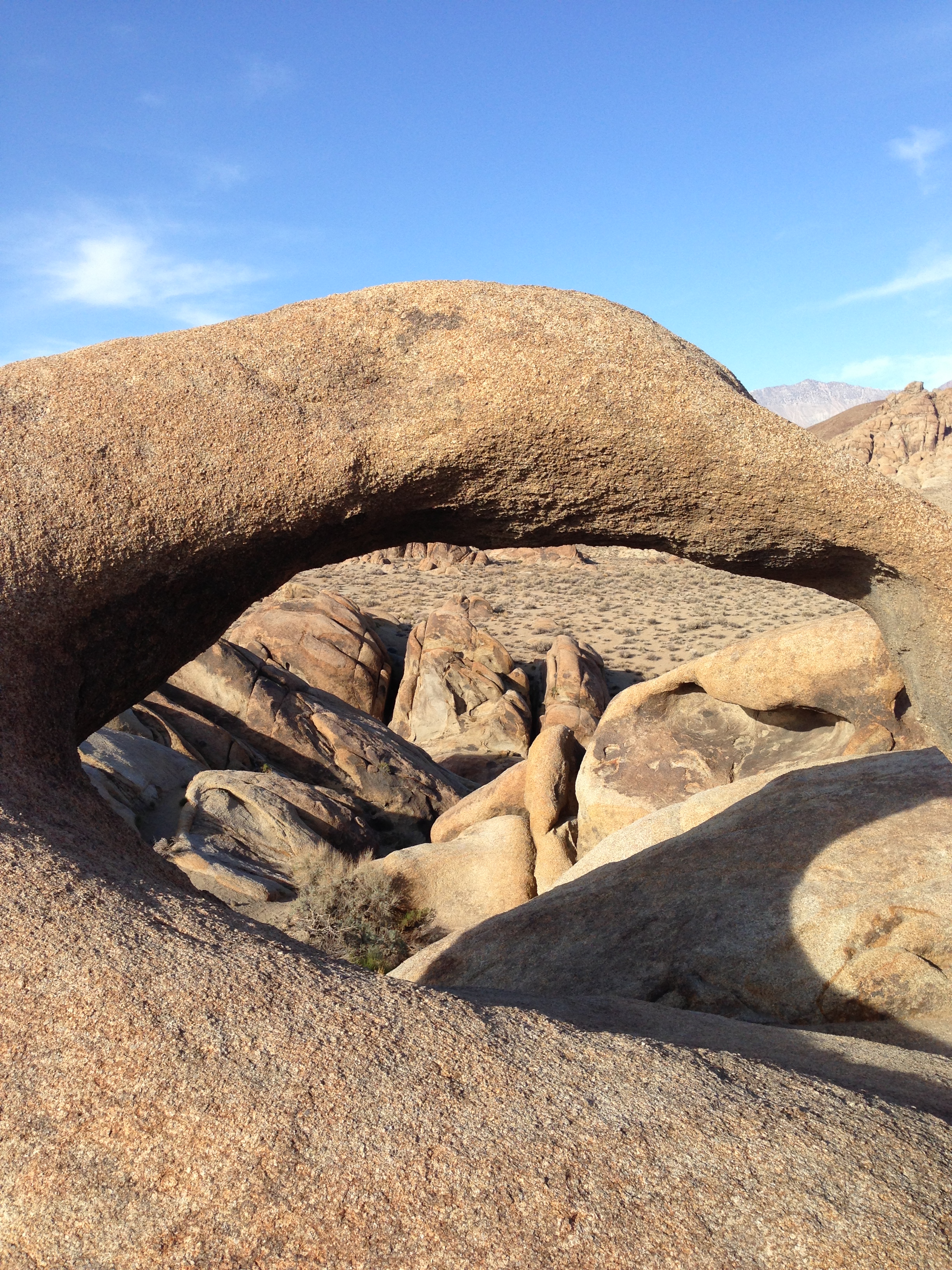
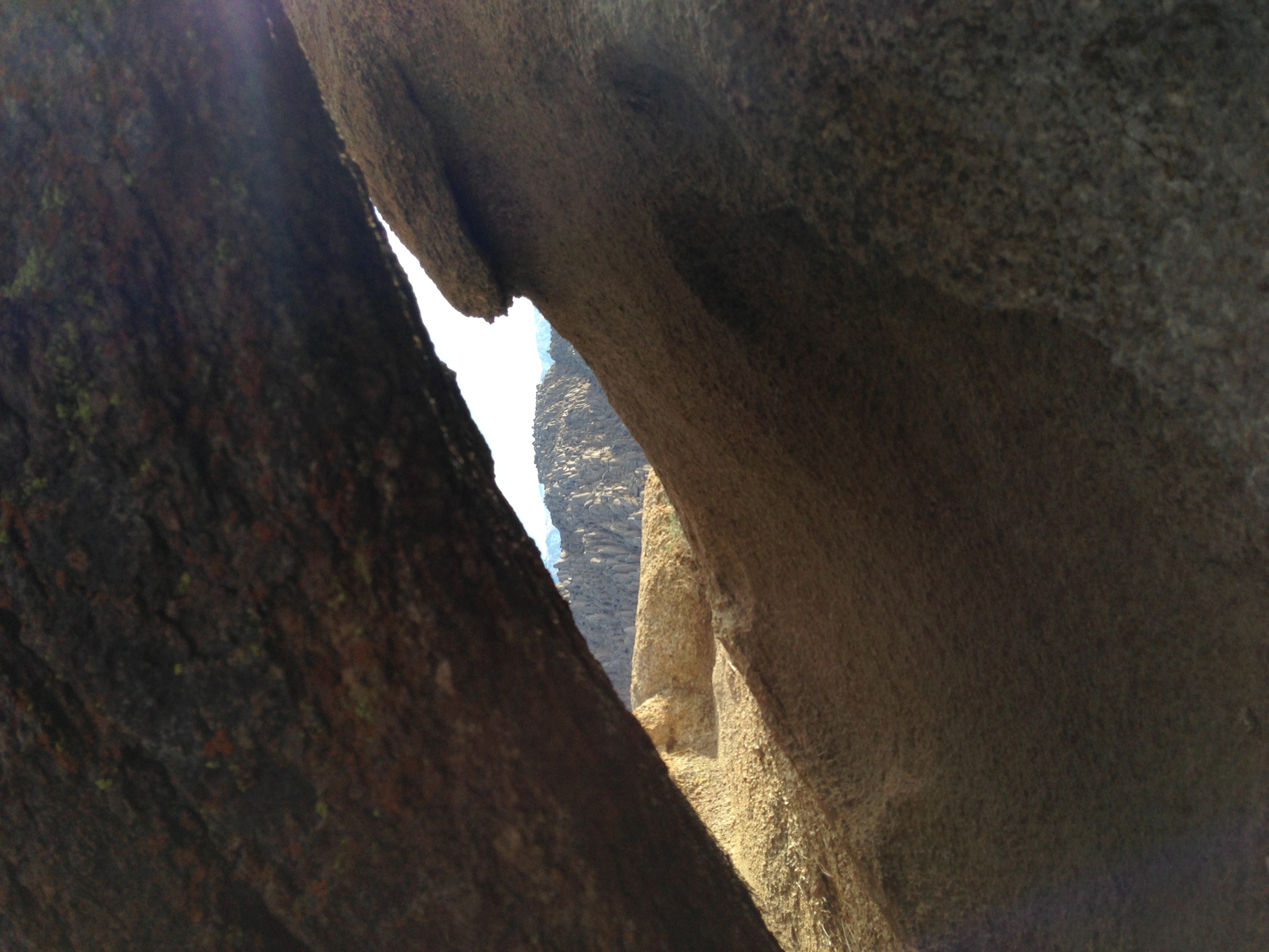
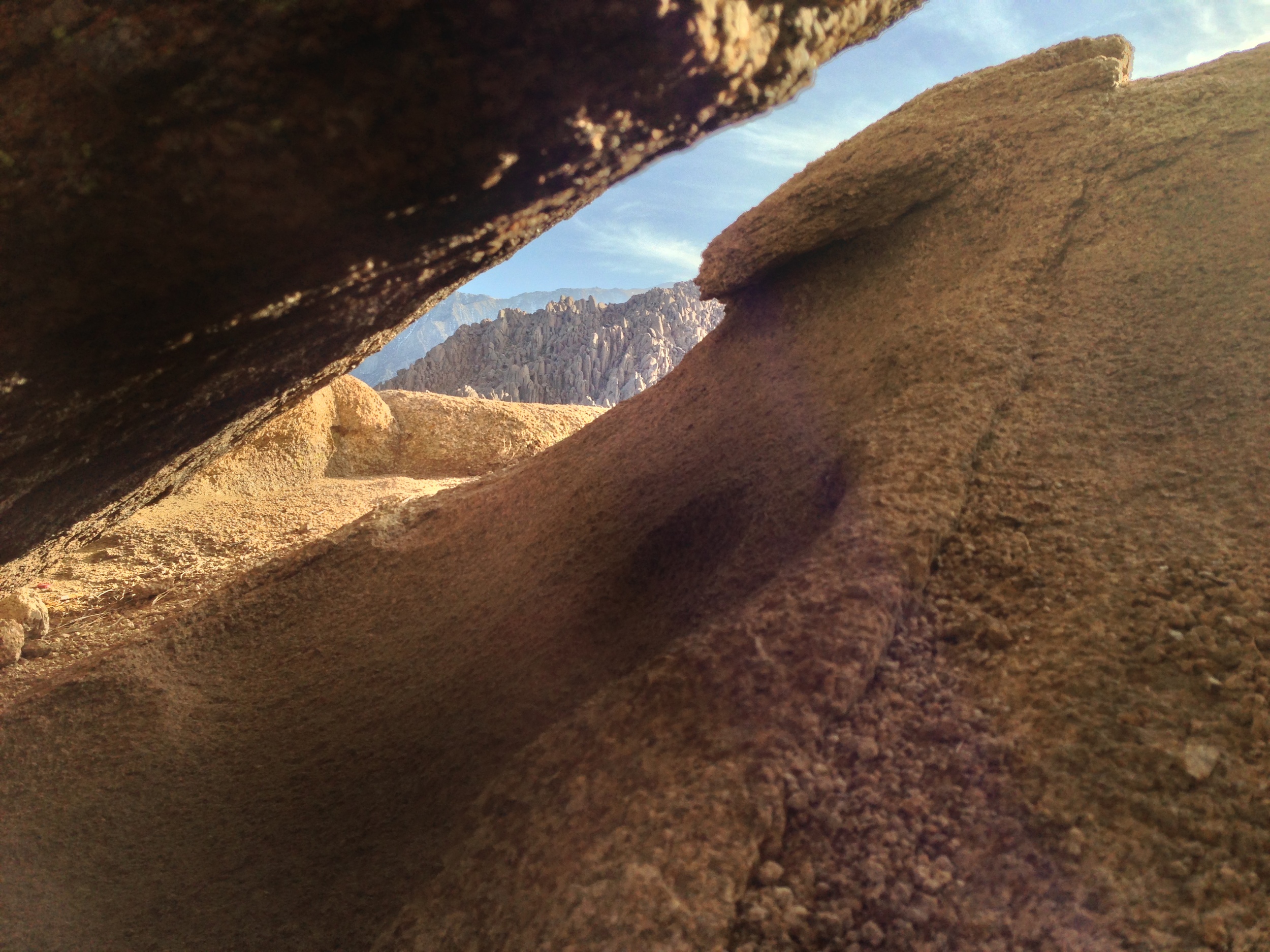
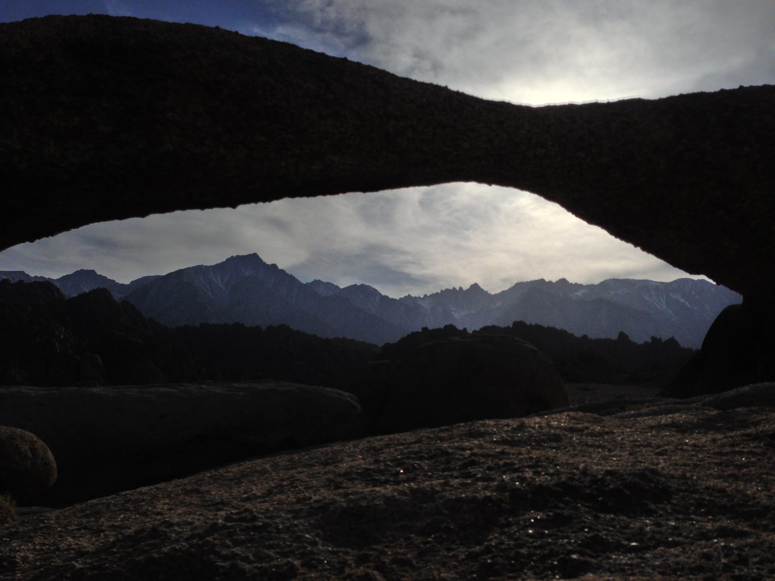
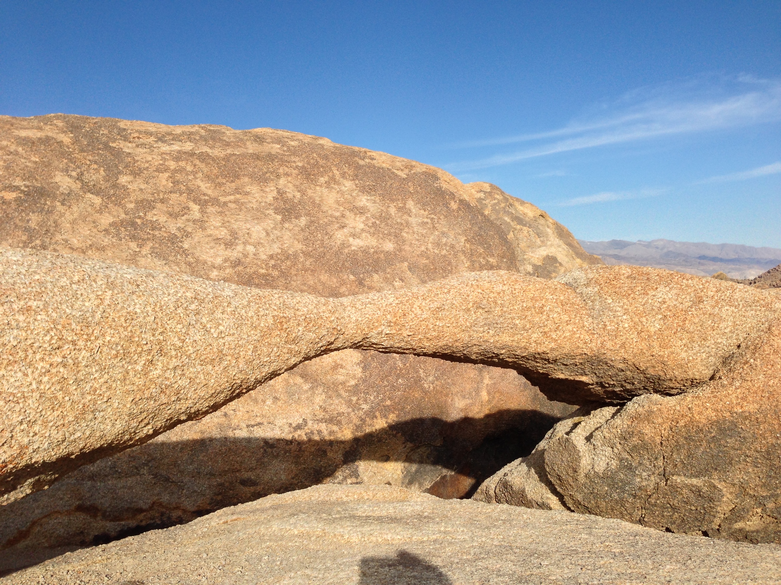
1) The Mobius Arch. On many of my early visits to the Alabama Hills, I explored portions of the area, and found many weathered openings and arches. Years later, I started getting questions about the “Mobius Arch”. At first I assumed it was like the Devils Punchbowl, and that everyone had their own Mobius Arch but after a while it became clear that it was a specific named spot. Again, in my opinion, the hills have many Mobius Arches, but now there is a specific Mobius Arch that has a specific trail and parking area that has been constructed by the BLM. To get to the actual named Mobius Arch, you will want to drive West on Whitney Portal Road from Lone Pine for three (3) miles until you reach Movie Road, which will be on the North (Right). Follow Movie Road for 1.5 miles until you reach a T-Junction. Once you reach the T-Junction, you will see the BLM parking area for the arch; and from the parking area, it is a .5 mile hike to the arch. While this is a stunning feature, keep in mind that it has become perhaps the most popular part of the Alabama Hills. You will see people on this hike; and chances are, you will see a number of photographers at the arch, striving for their own signature shot!
The Mobius Arch
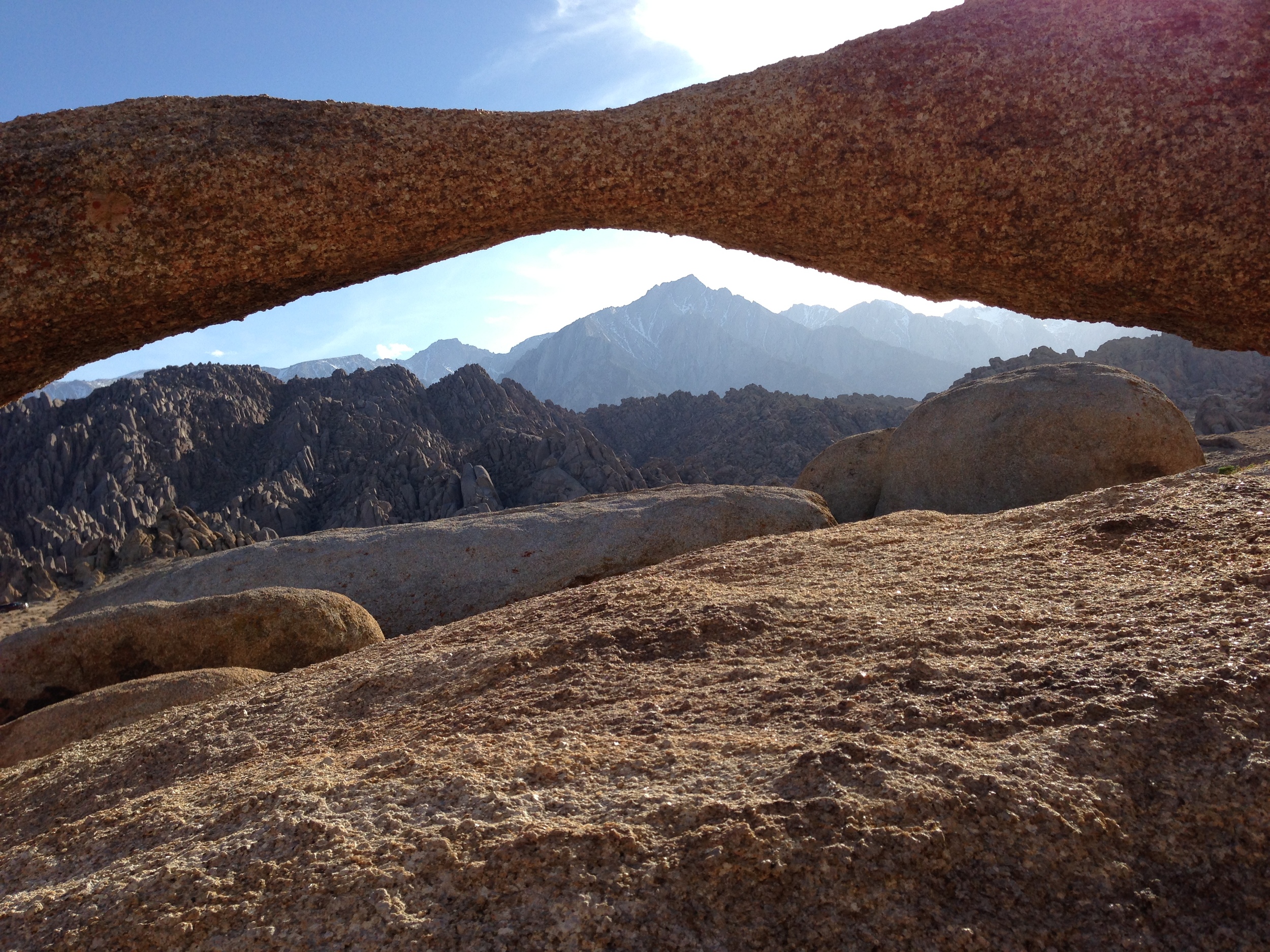
2) The Lathe Arch. This arch is located immediately to the West of the Mobius Arch, although it is much smaller arch than its larger friend. In order to get to it, you’re going to follow the directions listed above for the Mobius Arch. Like the Mobius Arch, the Lathe Arch has some great photography opportunities, and has a great view. However, as I said above, the Alabama Hills do have many of these eroded features, so if you’re looking for an arch, hole, or other angle that has not been photographed by many people, get out there, and find your own. I guarantee there are plenty of spots that have yet to be discovered.
3) The Self Guided Movie Road Tour. Did I mention something about movies at the beginning? Yep, I totally did. While the Alabama Hills always had “Movie Road”, some of the features and their attendant movies and TV shows were a little harder to find. While you could always speak to some of the locals in Lone Pine about where to go, now the BLM has a handy board in the Alabama Hills marking locations, and it also has a handy printout here online of how to proceed and where to go.
4) General Exploration. As I’ve mentioned frequently, the area is fairly open, and there is plenty to do, from looking for old mines, to fishing in certain spots, and just general camping, hiking, bouldering and photography. One word of caution: beware the Lone Pine Devil. Other than that, have a great time!
Interested in what other people think of the Alabama Hills? Check out my friend Paulina's thoughts here!
Lathe Arch
The Alabama Hills - Does the Lone Pine Devil truly live here?
Fossil Falls
What is Fossil Falls: It is an area with unique geologic features. The area was part of the Coso Volcanic Range, which was an active volcanic area thousands of years ago. Some of the remnants of this volcanic activity can be seen in the form of a cinder cone, Red Hill, which is next to Fossil Falls. The other remnants of this volcanic activity are the “falls” themselves, which is a large area of basalt (hardened lava). This large sheet of basalt blocked portions of ancient Owens River, and probably portions of the Owens Lake. The significance of this is that during the last ice age, water from receding glaciers (and the river and lake) flowed over this basalt, smoothing it, eroding it, and forming the canyons and holes that remain today over a period of thousands of years. Today, what remains is smooth basalt that has eroded into a distinctive geologic area. (For more information click here and here).
The "Ten" Backcountry Essentials
Before I get to talking about the specific items that make up the ten essentials, it’s a good idea for me to define what the concept is behind the ten essentials. The reason I phrase it like that is because there’s no set standard definition of a specific set of ten items that everyone agrees upon. There are some standard answers and standard categories (see here, here, here, and here) but there is also a great deal of variety out there. Again, if there’s anything I’ve learned over my time in the wilderness, everyone has their own modified version of the ten essentials. Which is why I’m talking about the concept behind it; which is that these are the items you would want to have with you should disaster befall you in the wilderness. These are the items that would enable you to survive.
IIAWT April 2013 and May 2013 Recaps
Muir Snowfield, Mt. Rainier
If you think you think Matt and I missed our podcast window on Wednesday, you'd be wrong. Yes, there was no show last week. And yes, we did not Tweet or promote a show this week. No, goats have not completely eaten IIAWT's technical equipment and clocks. The answer to why there was no IIAWT is because IIAWT is only on the second and fourth Wednesday's of each month, and between May and June, the calendar sets us, the hosts up with a nice little break. So look at things positively - you didn't miss anything, and we didn't trick you - the calendar did! But in case you did miss us, here's what you've been missing in the last two months!
Ingraham Flats, Mt. Rainier
April 10, 2013, Episode 6: Mt. Rainier, Part I: The IIAWT How-To-Climb-Guide. Mt. Rainier - a mountain - no, a volcano so big it deserved two shows. On this first episode, Matt and I spoke with Katie Levy of Adventure Inspired, who had some great insights to how a novice prepares for the Disappointment Cleaver, and mountaineering in general. Katie also had some great comments about climbing mountains for charity; and about how she reviews gear for her readers, so this episode, like always, is a must listen! (Also, stay tuned to the end for a special guest - and friend of the show!)
April 24, 2013, Episode 7: Mt. Rainier, Part II: The IIAWT How-To-Climb-Guide-Continues. What's better than talking Mt. Rainier? Talking Mt. Rainier with a veteran climber like Kevin Cherilla of K2Adventures. We also had on our friend of the show, Jes (more info here) for some added color commentary. On this show, we again talked about climbing for charity, and the difficult - and STEEP Liberty Ridge Route.
May 8, 2013, Episode 8: Mt. Whitney, Part I: The IIAWT How-To-Climb-Guide. This show is also known as "When Goats Attack". Although there was no guest host, both Matt and Chris picked up the slack in an information packed must-listen guide about climbing Mt. Whitney. (For an added bonus, read more here about what you need to know about Whitney, the highest peak in the Continental United States).
Western Side, Mt. Whitney Trail
May 22, 2013, Episode 9: Mt. Whitney, Part II: The IIAWT Guide on the JMT and Other Routes to the Top. Once Matt and Chris got rid of those pesky goats, they were ready to talk Whitney the way Muir saw it after his long treks in the Sierras. What better way than to talk about this than with a bona fide expert, the SoCalHiker, also known as Jeff Hester. This show had some great details from Jeff, who has hiked the John Muir Trail twice, and also had some great secret tips on how to ascend Whitney via non-traditional ways.
If these shows don't get you out into the mountains, perhaps next week's show on Mt. Shasta will intrigue your mind and inspire your body; but until then, see you on the trail!
Painted Rock Petroglyphs, Arizona
I’m a fan of petroglyphs, pictographs and anything old. It’s intriguing to me to see things from the ancient past, and wonder what inspired them and what they mean. It’s also interesting to see what similarities exist from site to site, and what differences also exist. It’s also fun to imagine what exactly life was life when they were created thousands of years ago. In California, where I live, most petroglyph and pictograph sites are either require a hike or some exploration; and while I don’t mind either of those activities, they’re generally hard to find and in some cases, found by too many people. On a number of occasions, I’ve been told of great rock art secreted away in remote areas, only to find that innumerable prior “adventurers” have already ruined the spot, or the art. Because of these unfortunate experiences, I’m also a little skeptical when I research or hear of a new spot for rock art, and temper my expectations accordingly.
Current Conditions May 2013, Vivian Creek Trailhead to San Gorgonio Summit
That title should actually read: “Current Conditions May 2013, Vivian Creek Trailhead to San Gorgonio Summit to Jepson Peak”, but that’s way too long. Long time readers of this blog know that there are three mountains I climb on a yearly basis – Mt. Whitney, San Gorgonio, and San Jacinto. The reason I climb these mountains yearly? Well, number one, I don’t need a reason, and number two, if I needed a reason, my reason is that I like mountaineering. But, if I’m being serious, the truth of the matter is that they are the three largest peaks closest to me, and I like to get out on the “larger” mountains. While climbing these mountains never gets old for me no matter how many times I’ve done it, what does get old is writing trip reports with the same or close to the same trip conditions. With respect to Gorgonio, there’s not much I can tell you right now that I haven’t already told you in past years trail reports (See 2012, 2010); and if you feel you really need more information on the mountain, I suggest you read them.


